
TOP 5 Beskid Sądecki - the most beautiful scenic trails
Beskid Sądecki is a long forested ridge of the Radziejowa and Jaworzyna Krynicka ranges, rising above the picturesque bends of the Poprad River. Here, you will find kilometers of hiking trails, lookout towers, and vast meadows with beautiful panoramas. Which routes offer the most stunning views? We have 5 (or even 6) suggestions for you!
1. Short and Easy Scenic Trail in Beskid Sądecki
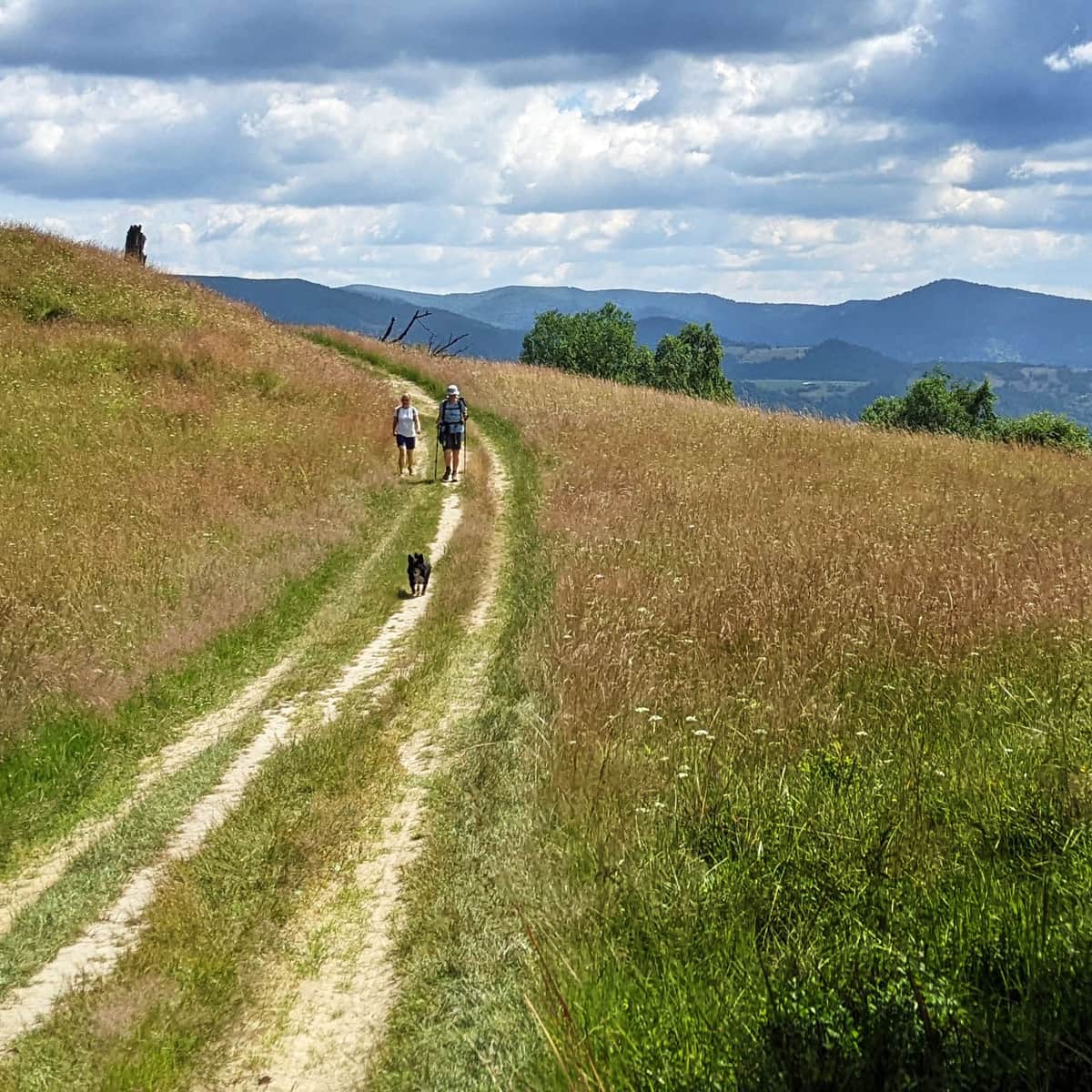
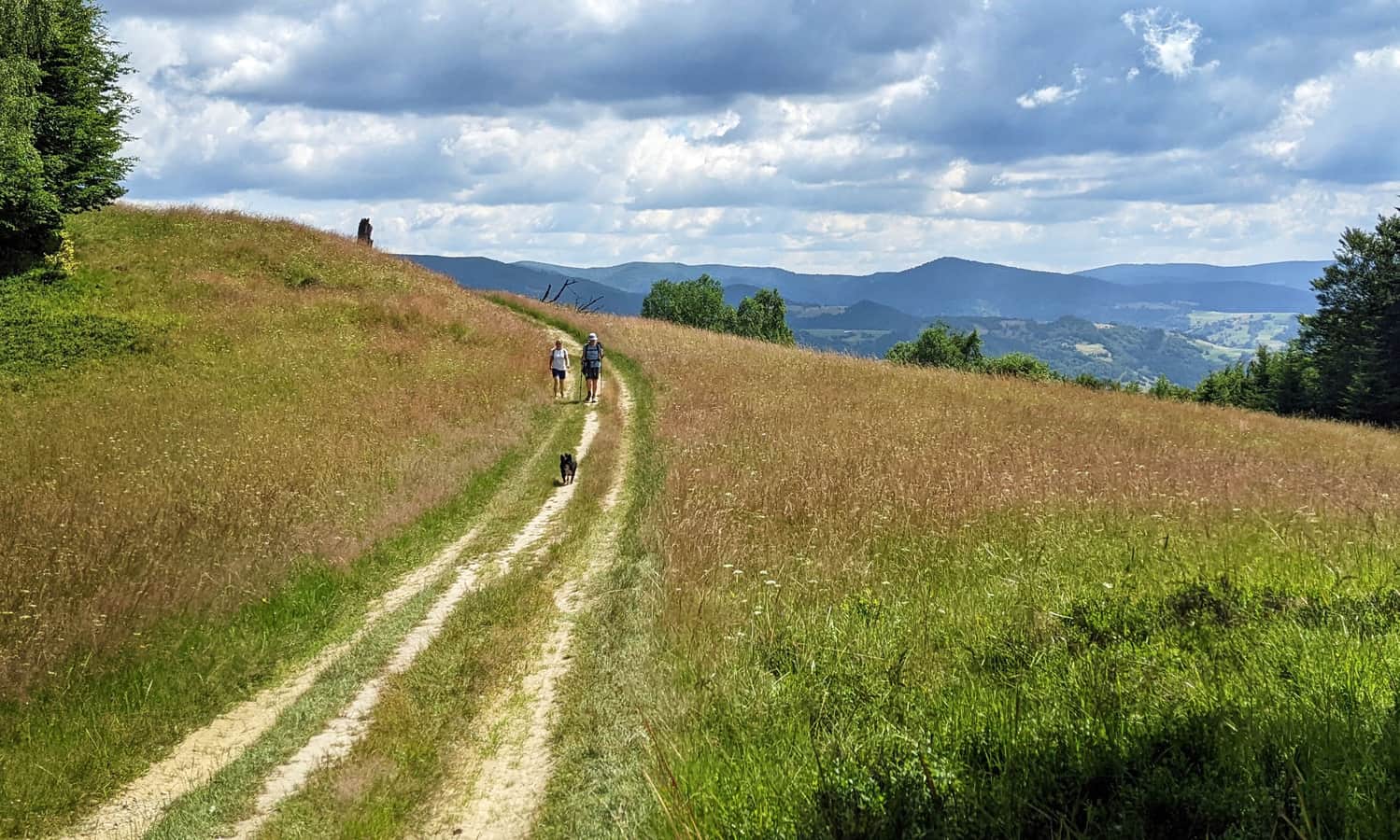
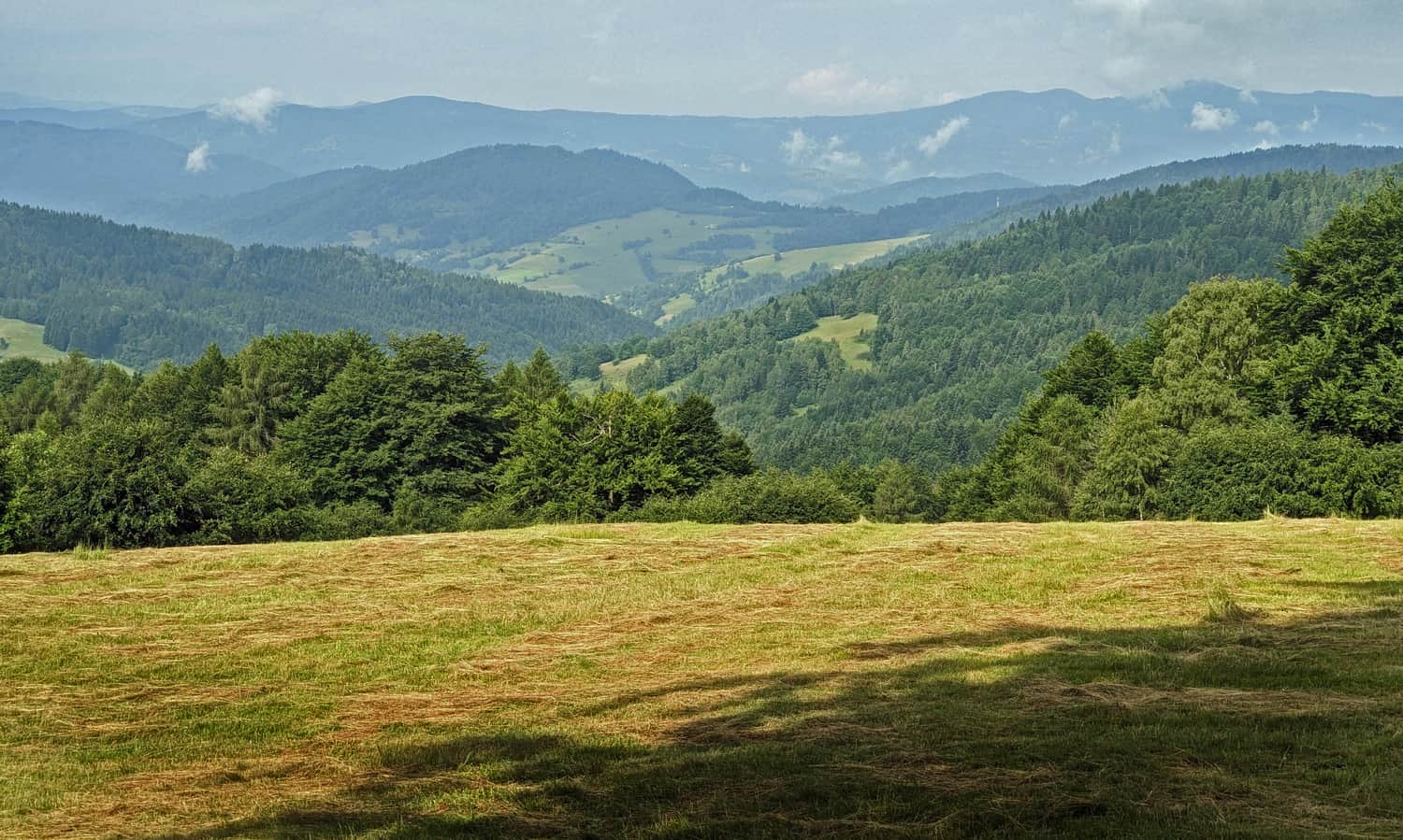
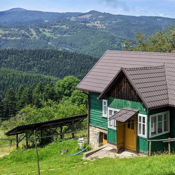
The easiest scenic trail in Beskid Sądecki is a walk along the ridge between two mountain shelters: Jaworzyna Krynicka and a shepherd's hut above Wierchomla.
Easy
From Jaworzyna Krynicka to the Hut above Wierchomla

We can enjoy the views both at the beginning, near the road from the upper station of the cable car to the PTTK shelter below Jaworzyna Krynicka:
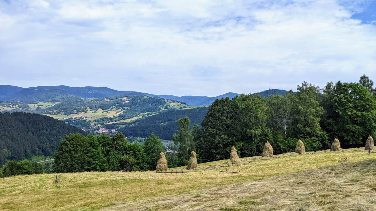
...and at the end of the trail. Here is a vast scenic meadow near the PTTK shepherd's hut above Wierchomla:
Ps. Of course, we don't have to take the cable car to Jaworzyna Krynicka. We can hike up there on the green trail. It will be more interesting, but also longer and more challenging...
3. From Rytr to Piwniczna Zdrój with Views
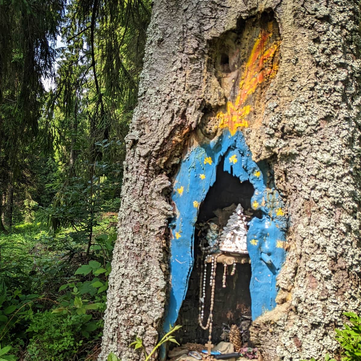
The trail leading along the red and yellow paths between Rytr and Piwniczna Zdrój is a hike through several smaller and larger scenic meadows.
First, we ascend to Niemcowa on the red trail:
Medium
From Rytra to Niemcowa through Kordowiec

...and then descend from Niemcowa to Piwniczna Zdrój on the yellow trail:
Medium
Yellow Trail from Piwniczna Zdrój to Niemcowa

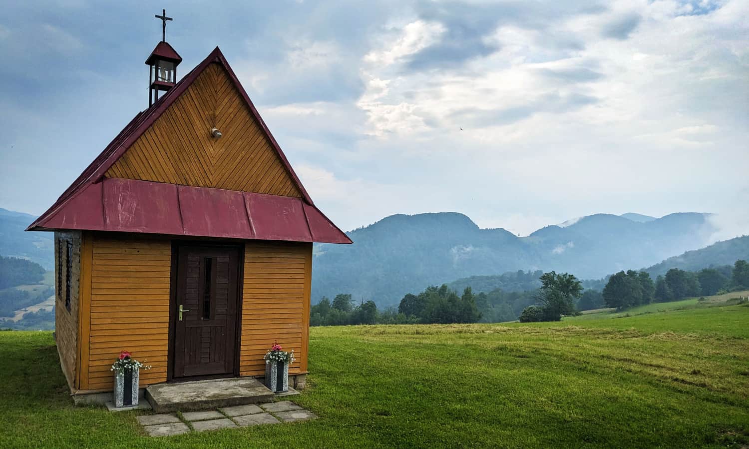
Moreover, along the way, we will encounter additional attractions: ruins of a mountain school, the "Jackowa Pościel" memorial site, and plenty of chapels!
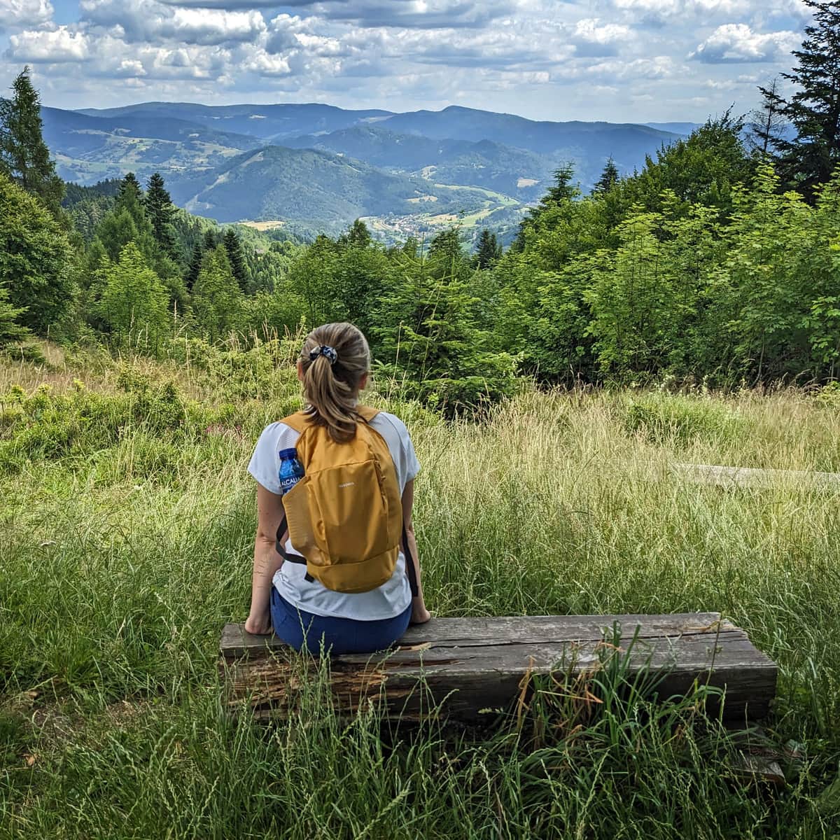
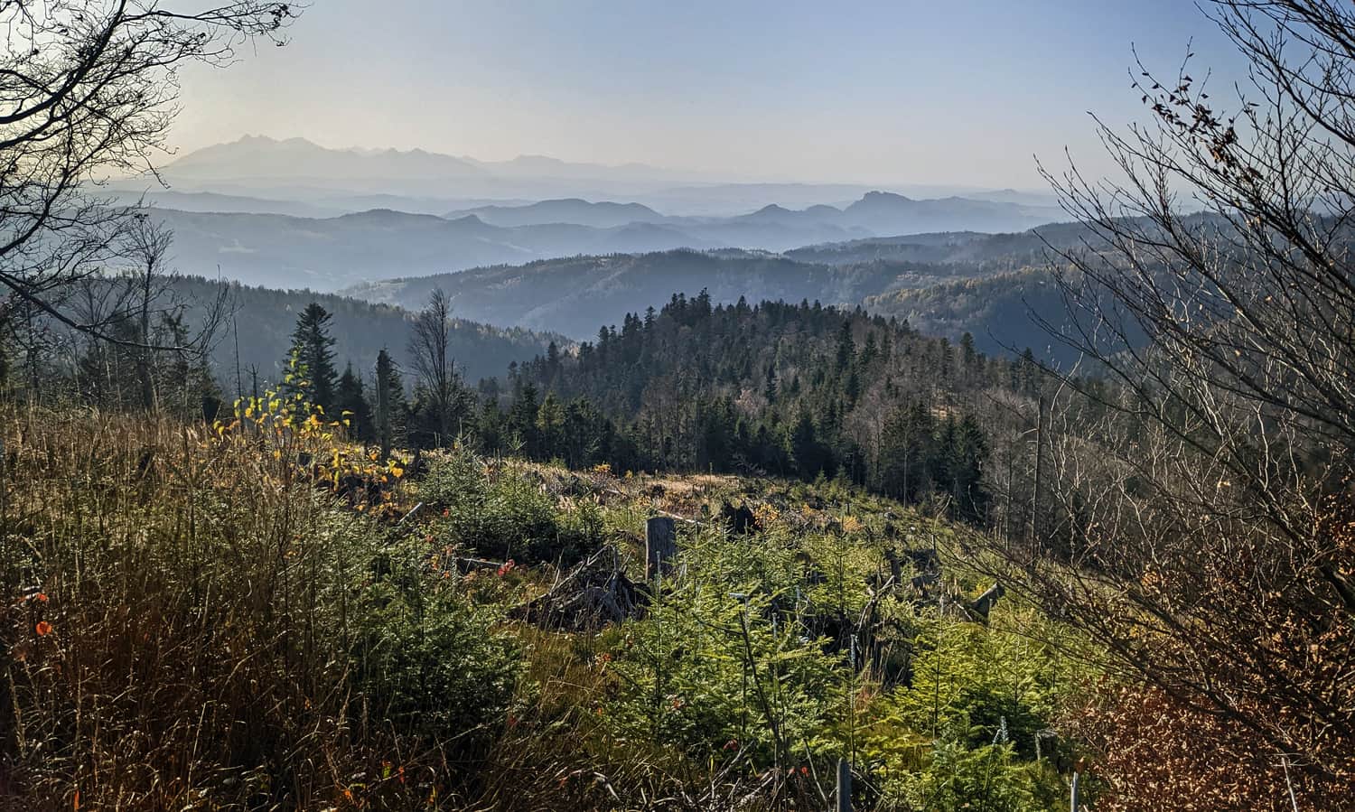
3. To the Tower on Eliaszówka - Trail through Scenic Meadows
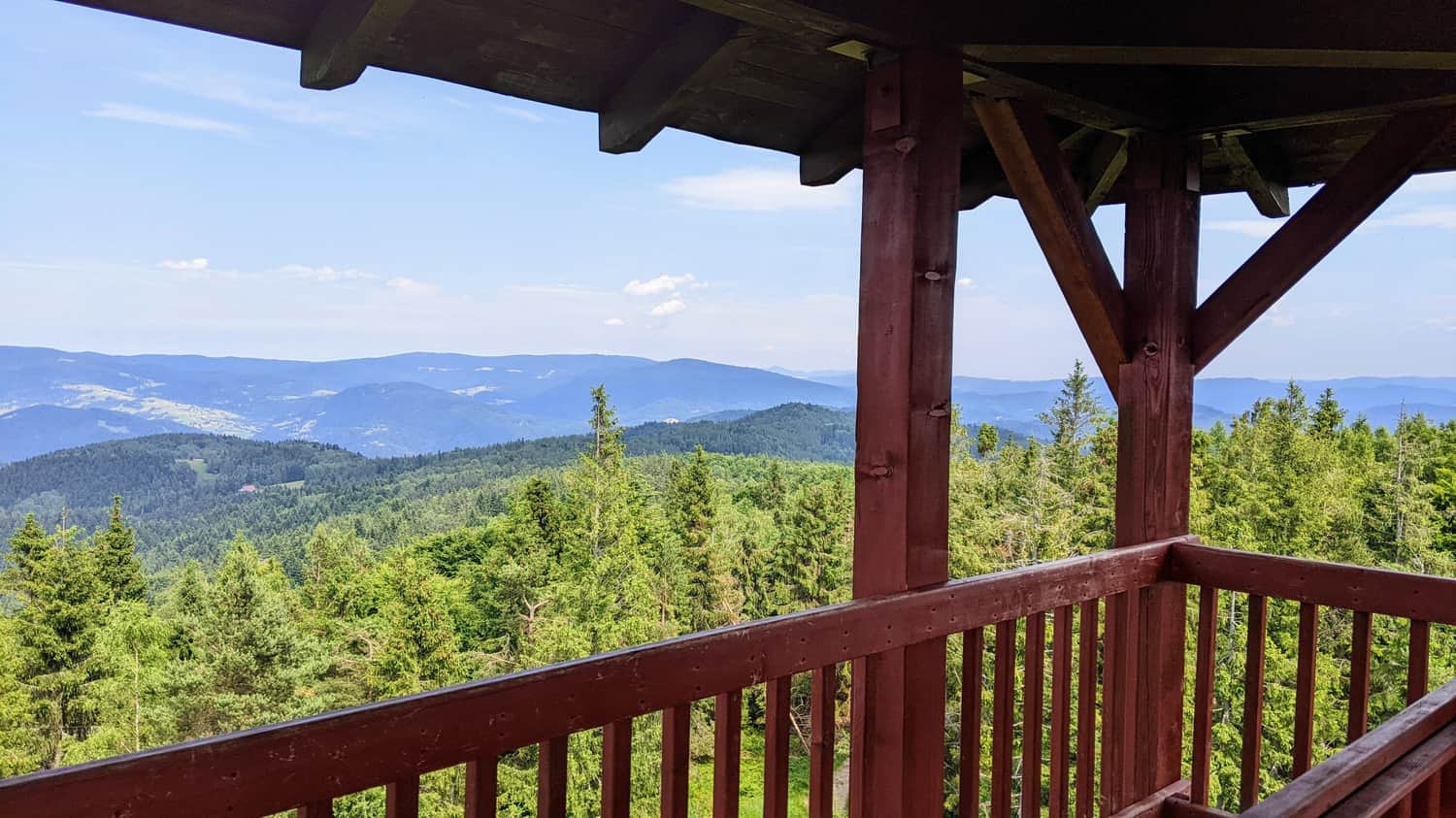
Eliaszówka (1024 m above sea level) is the highest peak of the Lubowelskie Mountains, adjacent to Beskid Sądecki. On the trail leading to Eliaszówka from Piwniczna Zdrój, we will encounter meadows and clearings with views of both the Jaworzyna Krynicka range and the Radziejowa range:
Medium
Eliaszówka - green, border trail from Piwniczna-Zdrój

At the end of our hike, thanks to the lookout tower, we can rise above the treetops:
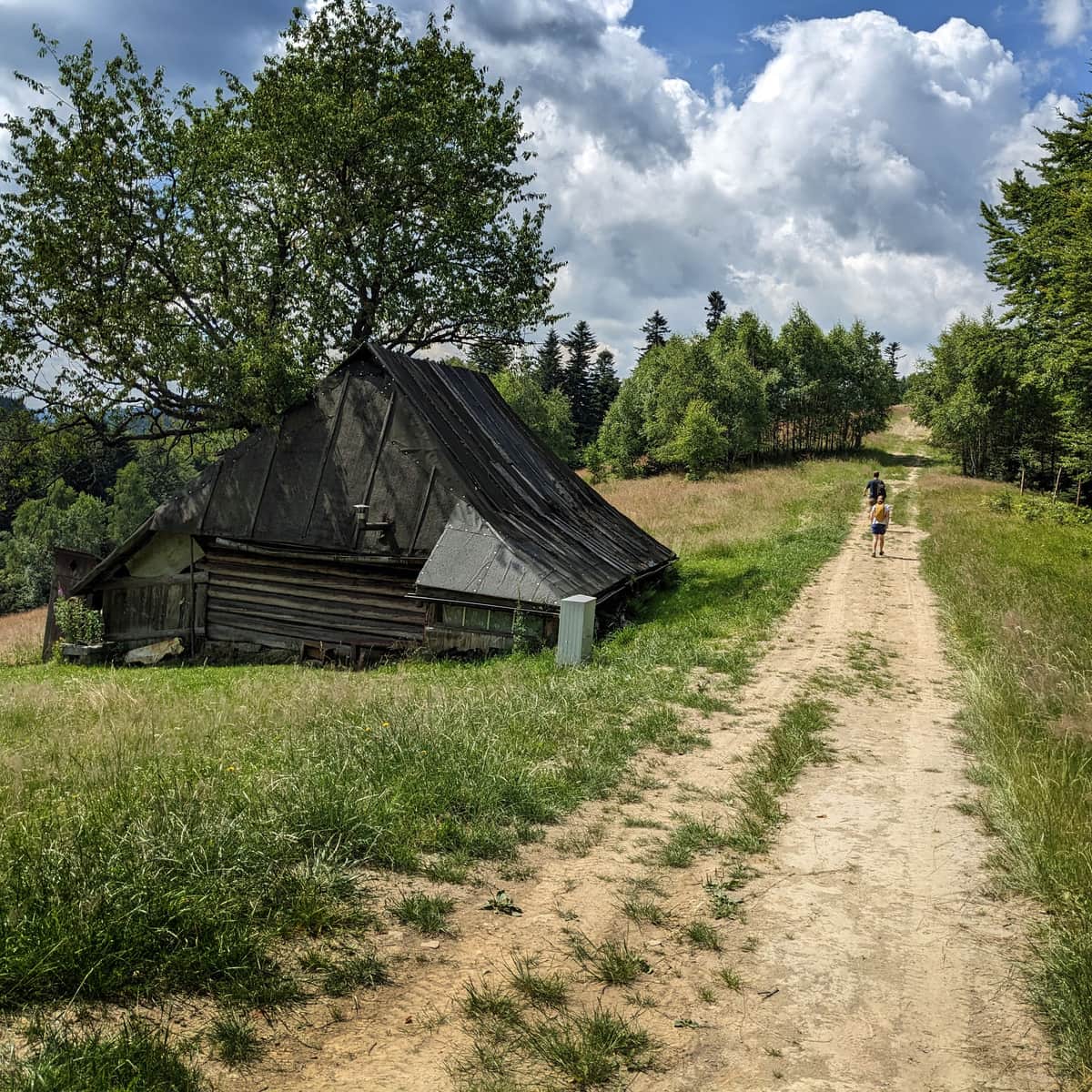
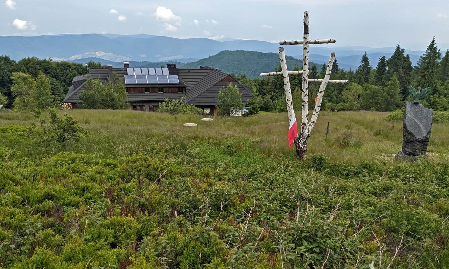
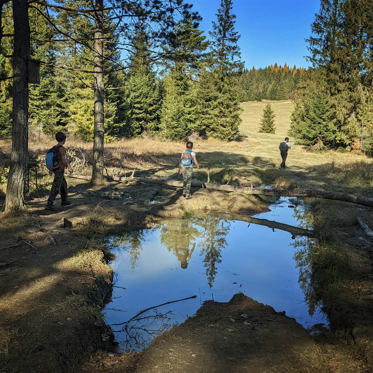
4. From Piwniczna Zdrój to Hala Łabowska via Jarzębaki
Jarzębaki is one of the most beautifully situated mountain settlements in Beskid Sądecki. We will get to know it by hiking from Piwniczna Zdrój on the yellow trail to Hala Łabowska:
Medium
From Piwniczna Zdrój through Hala Pisana to Hala Łabowska

Scenic views, this time to the north, also await us at the destination: on the vast meadow near the PTTK shelter on Hala Łabowska:
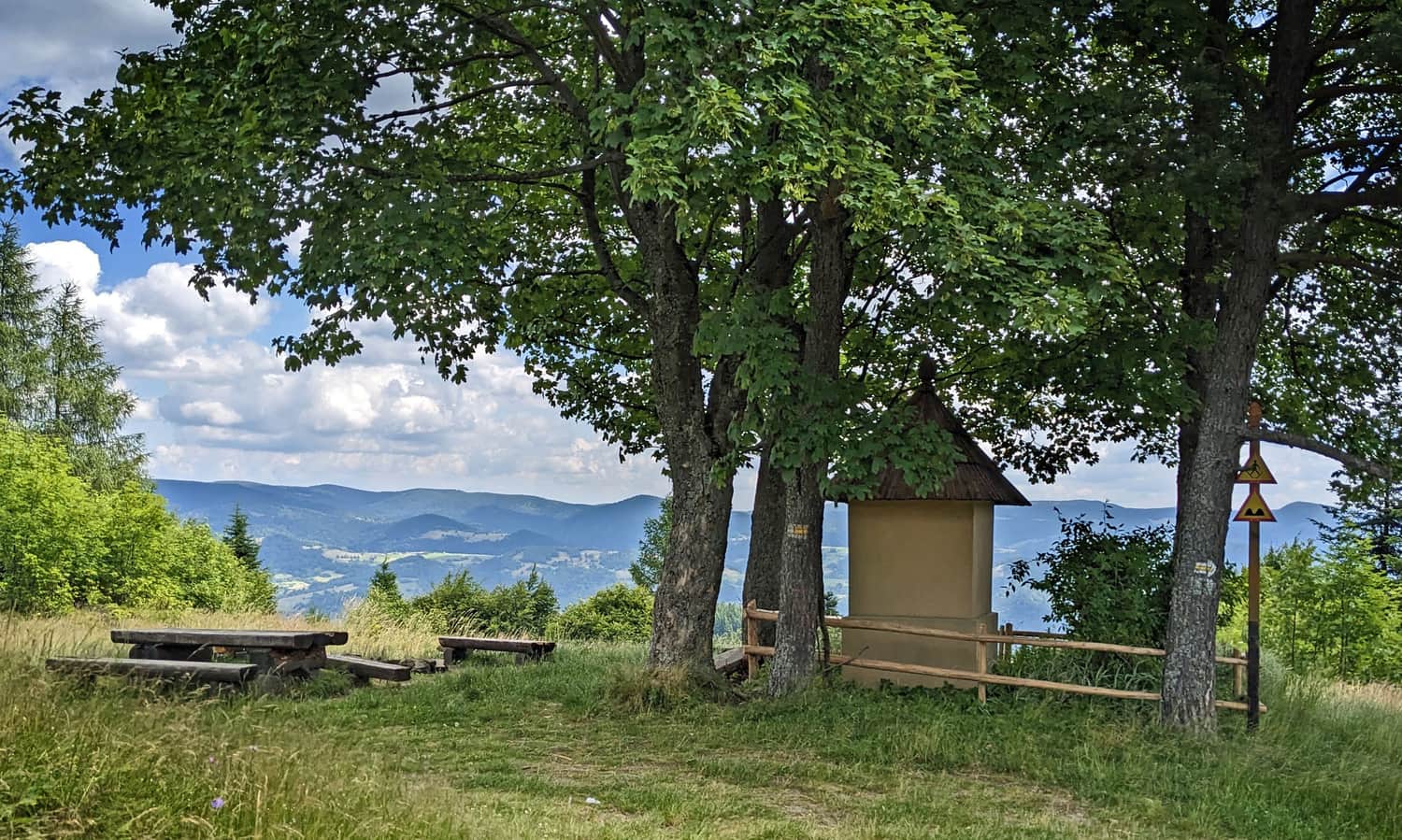
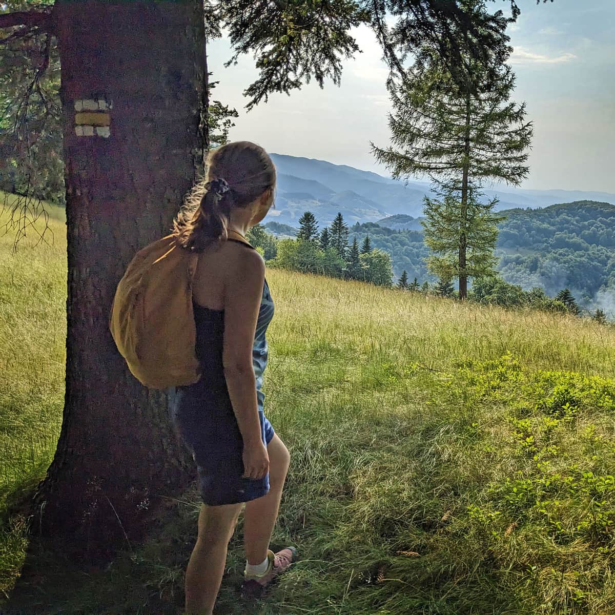
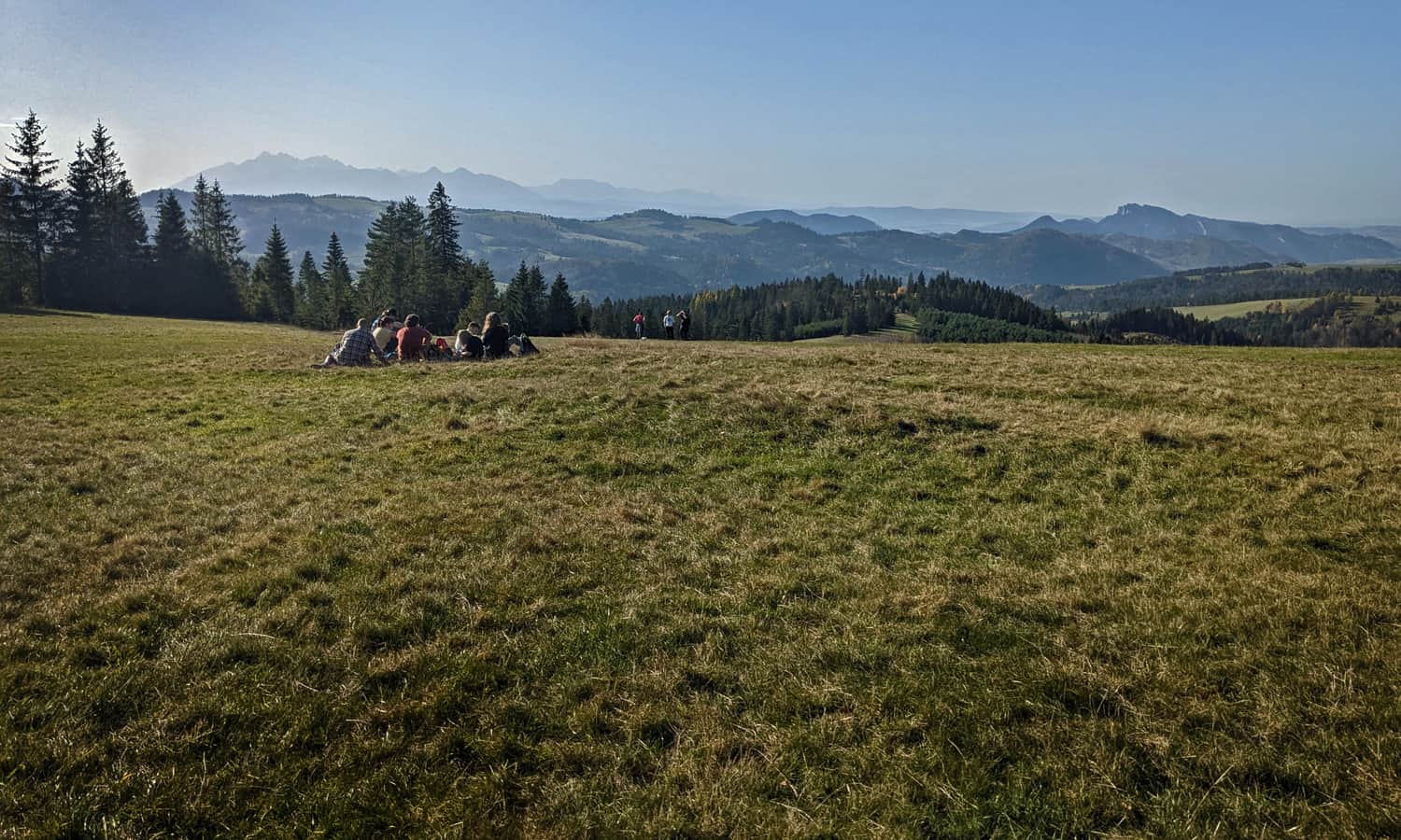
5. Two Scenic Trails to Radziejowa
At the highest peak of Beskid Sądecki, Radziejowa (1266 m above sea level), awaits a lookout tower with the most beautiful panorama of the surroundings!
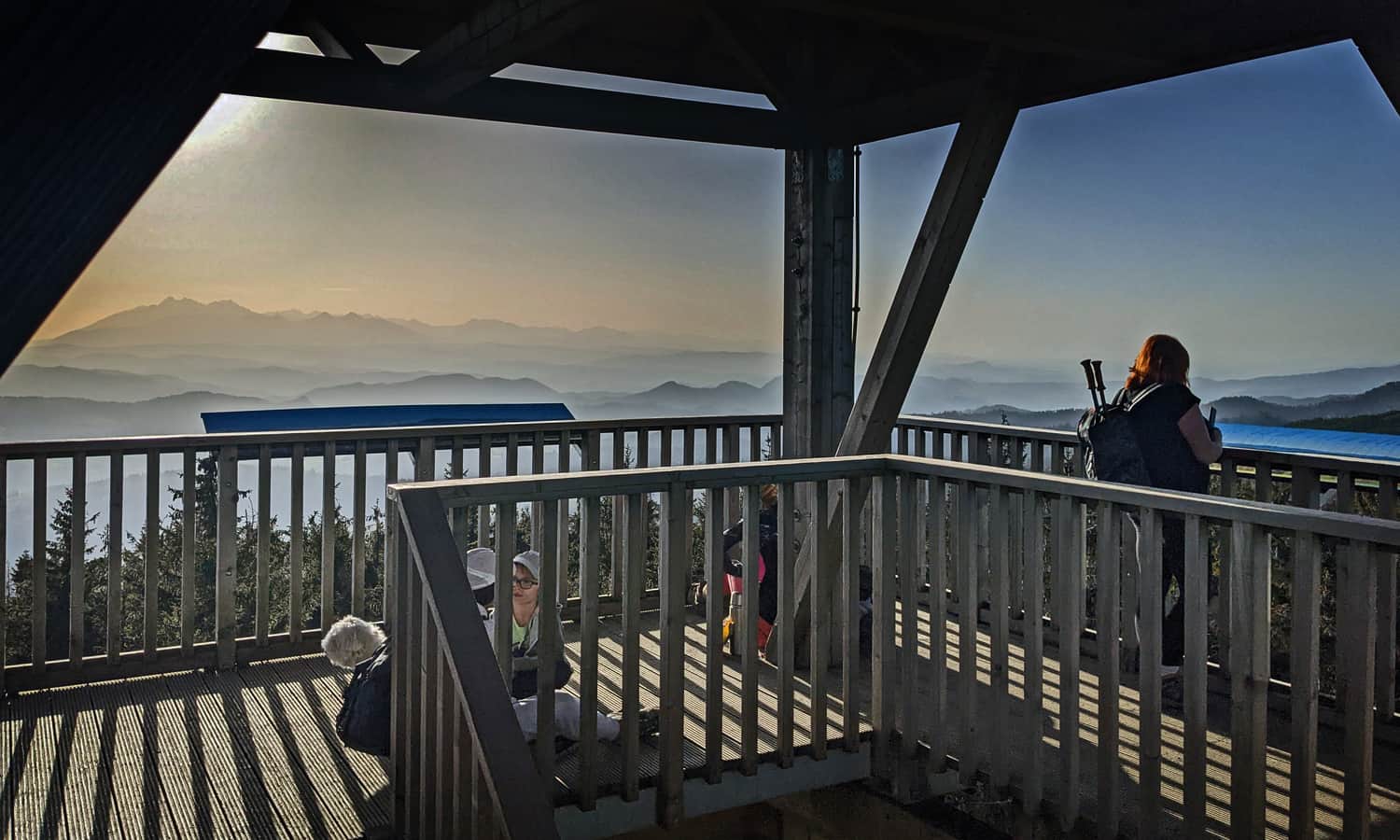
But who said we can't enjoy the views on the way to the tower as well?
The Litawcowa Glade awaits us on the easiest trail to Radziejowa from Obidza, a hamlet of Piwniczna-Zdrój:
Medium
From Obidza to Radziejowa Peak

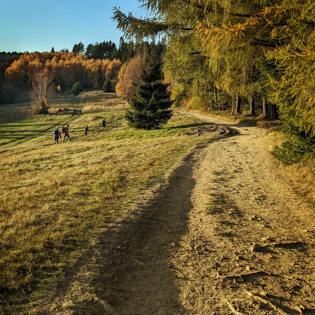
We will pass even more scenic meadows if we choose the trail to Radziejowa from Jaworki. It is a longer and more challenging route, but truly worth it!
Medium
Radziejowa from Jaworek - red trail

Scenic Trails in Beskid Sądecki - Map
Here are all the described trails, along with the location of places and photos on the map:
