Eliaszówka - green, border trail from Piwniczna-Zdrój
Nearby: Piwniczna-Zdrójtrain Access by train possible
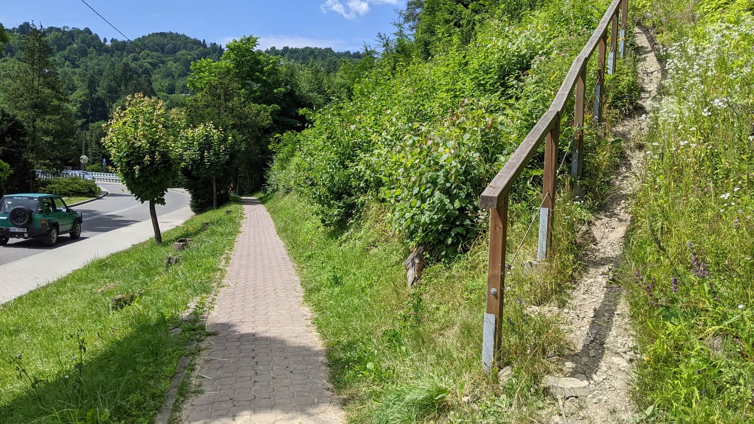
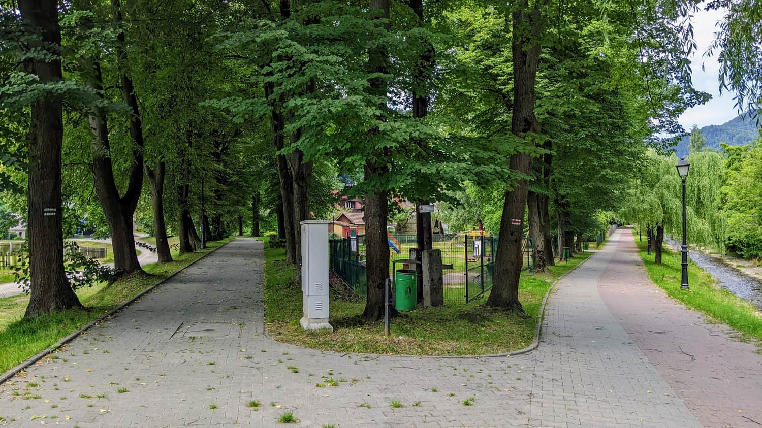
The green trail from Piwniczna-Zdrój to Eliaszówka is a great choice for travelers who are traveling by train. The trail starts right next to the train station and although it initially leads through the city, it quickly becomes very pleasant and quiet. In early July on weekdays, we didn't encounter many other tourists, but despite that, the entire route was well-prepared and safe.
The trail can be divided into 3 characteristic sections:
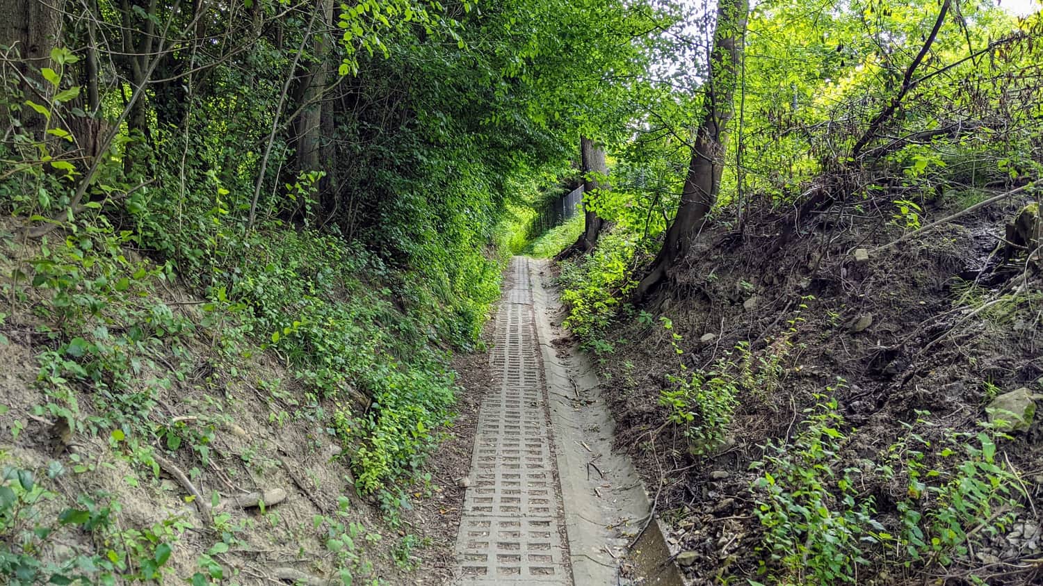
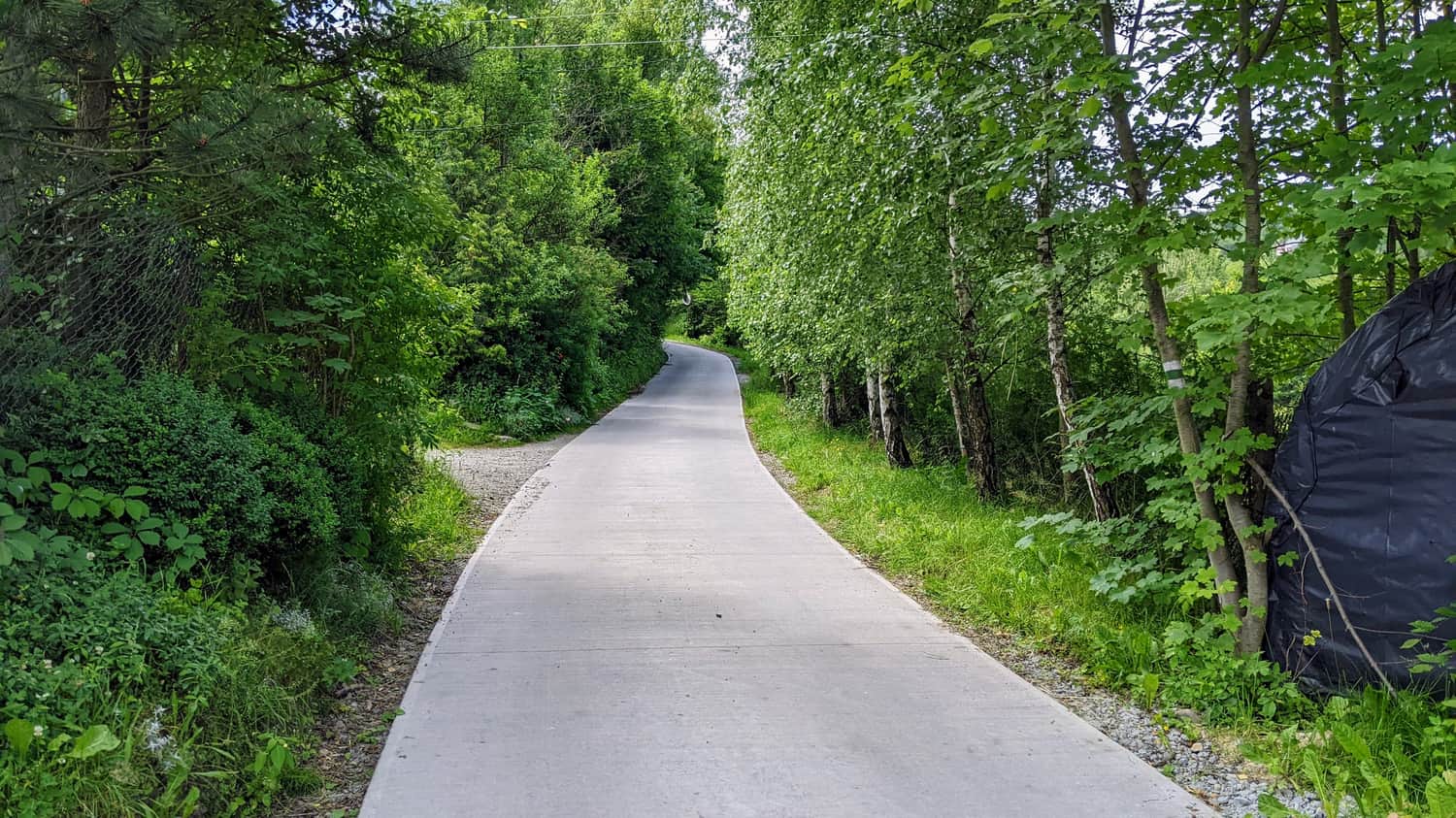
- leaving the city and gaining the first 100 meters in altitude
- climbing in open terrain with many beautiful views
- a forest section leading all the way to the summit
If we want to tackle the route on a sunny hot day, it's best to start early to spend the hottest hours in the cool forest, and tackle the exposed section in the morning and afternoon.
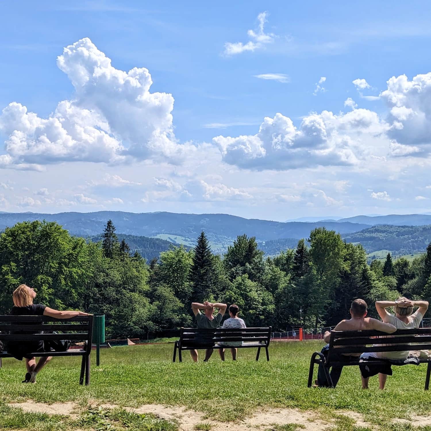
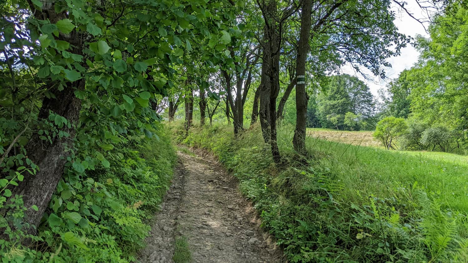
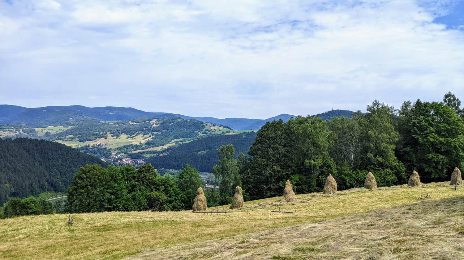
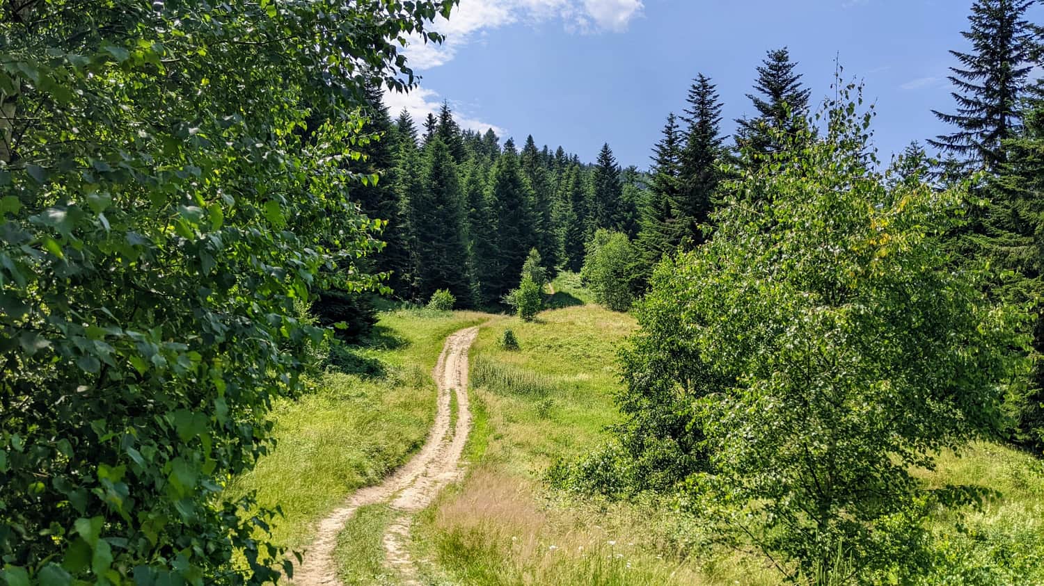
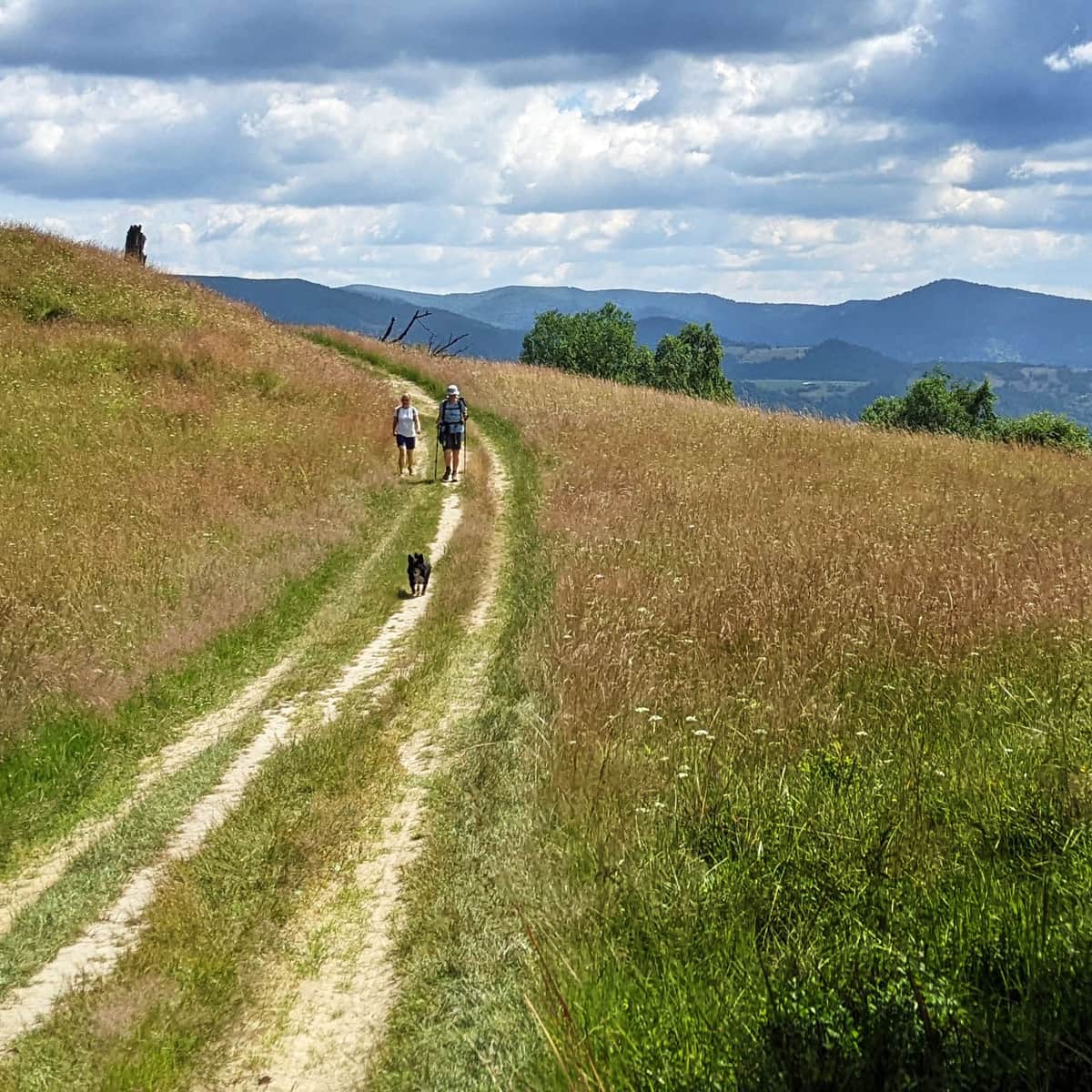
The most scenic section of the trail
As we distance ourselves from the city, we will continue to climb, but with breathtaking views! Near the tiny and picturesque village of Piwowary, the trail becomes flatter.
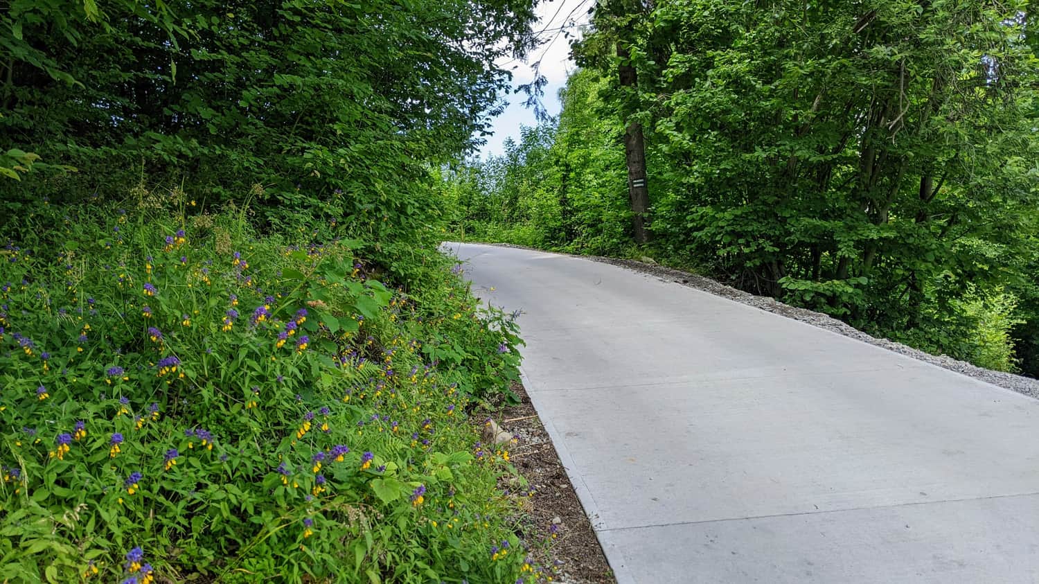
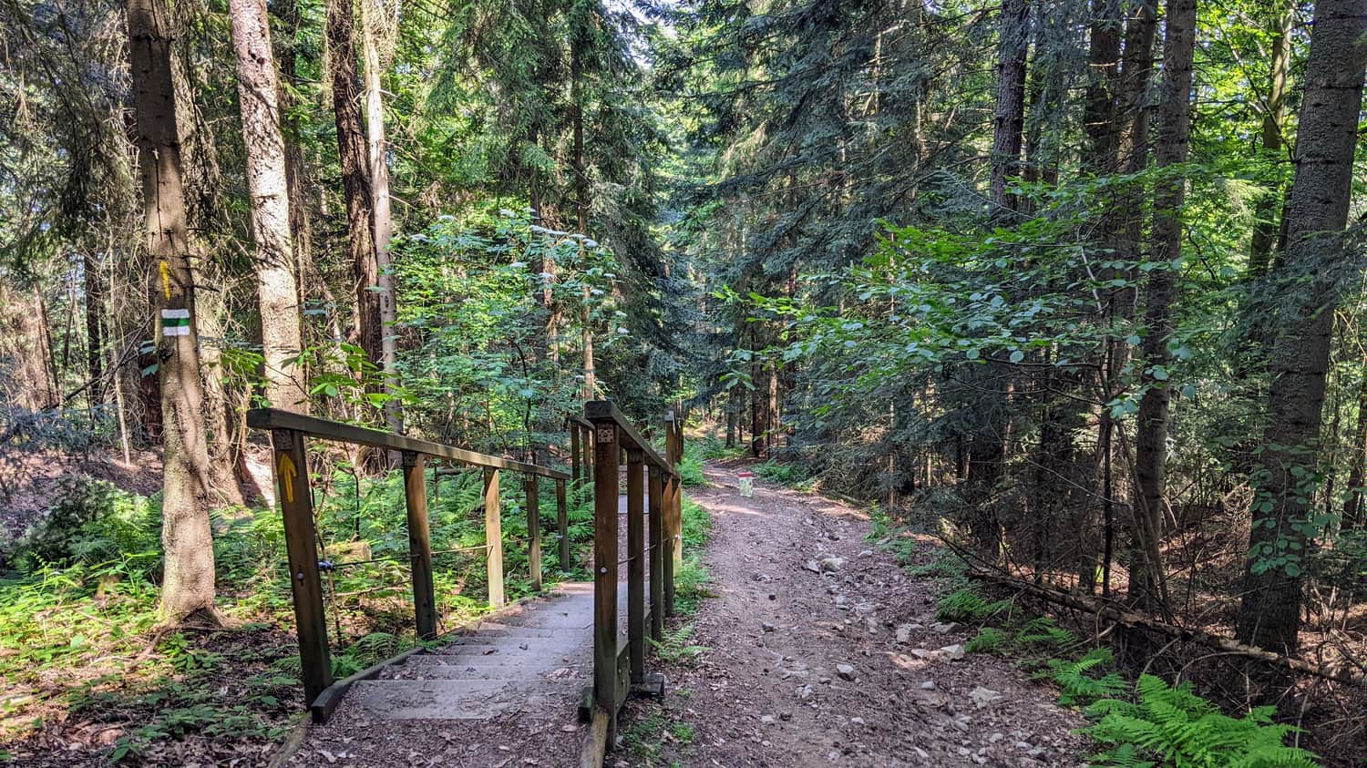
Forest section along the border
Here, we won't find many scenic spots, but we will have a very pleasant walk through the forest. If we plan to go up and down the same way without any problems, we can allocate the hottest part of the day for this section!
We also gain a lot of altitude here, but fortunately, the wooden stairs will help us on the steeper sections.
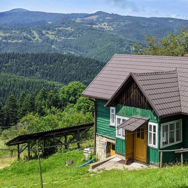
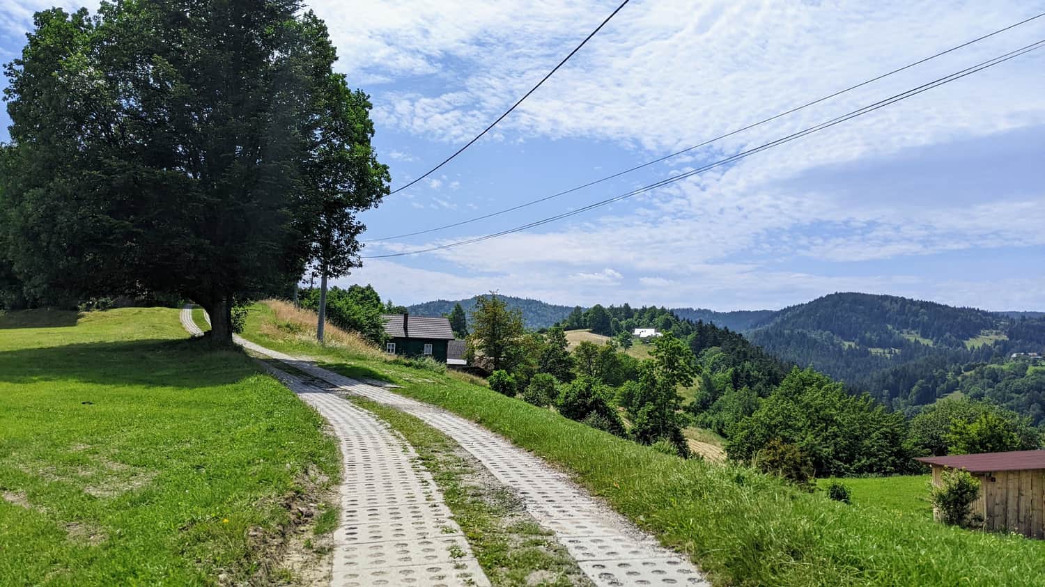
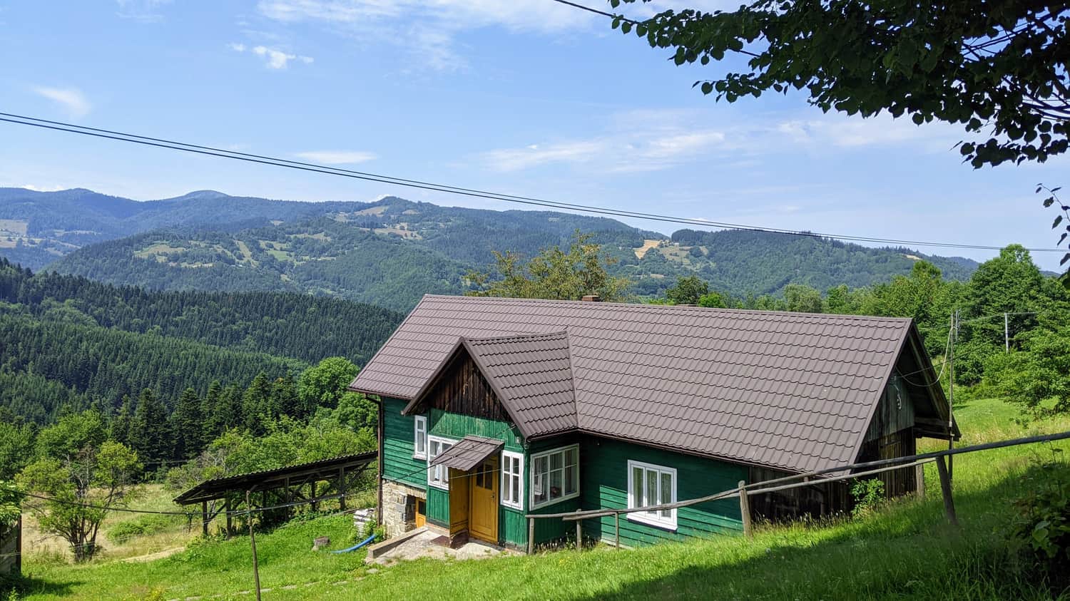
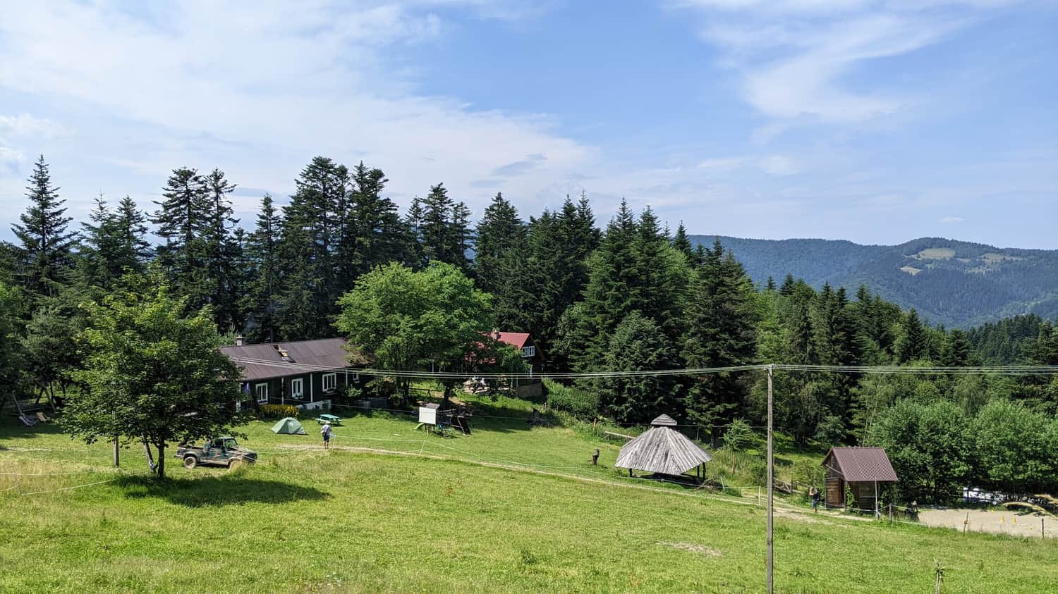
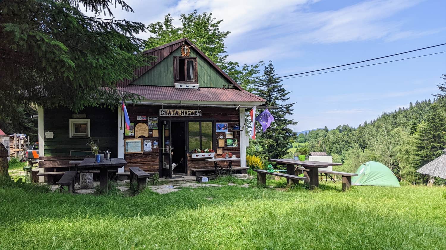
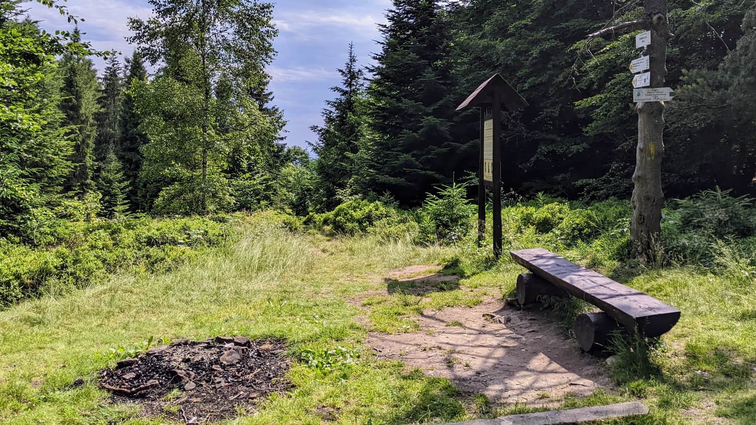
Chata Magóry
Not far from the trail, about 5 minutes away from the summit, there is Chata Magóry. We can have a meal, rest, or even spend the night here. The place where we need to turn off from the trail is well marked. We only spent a moment here because reaching Eliaszówka was part of a larger all-day trip, but you can feel the atmosphere created by true mountain and nature enthusiasts!
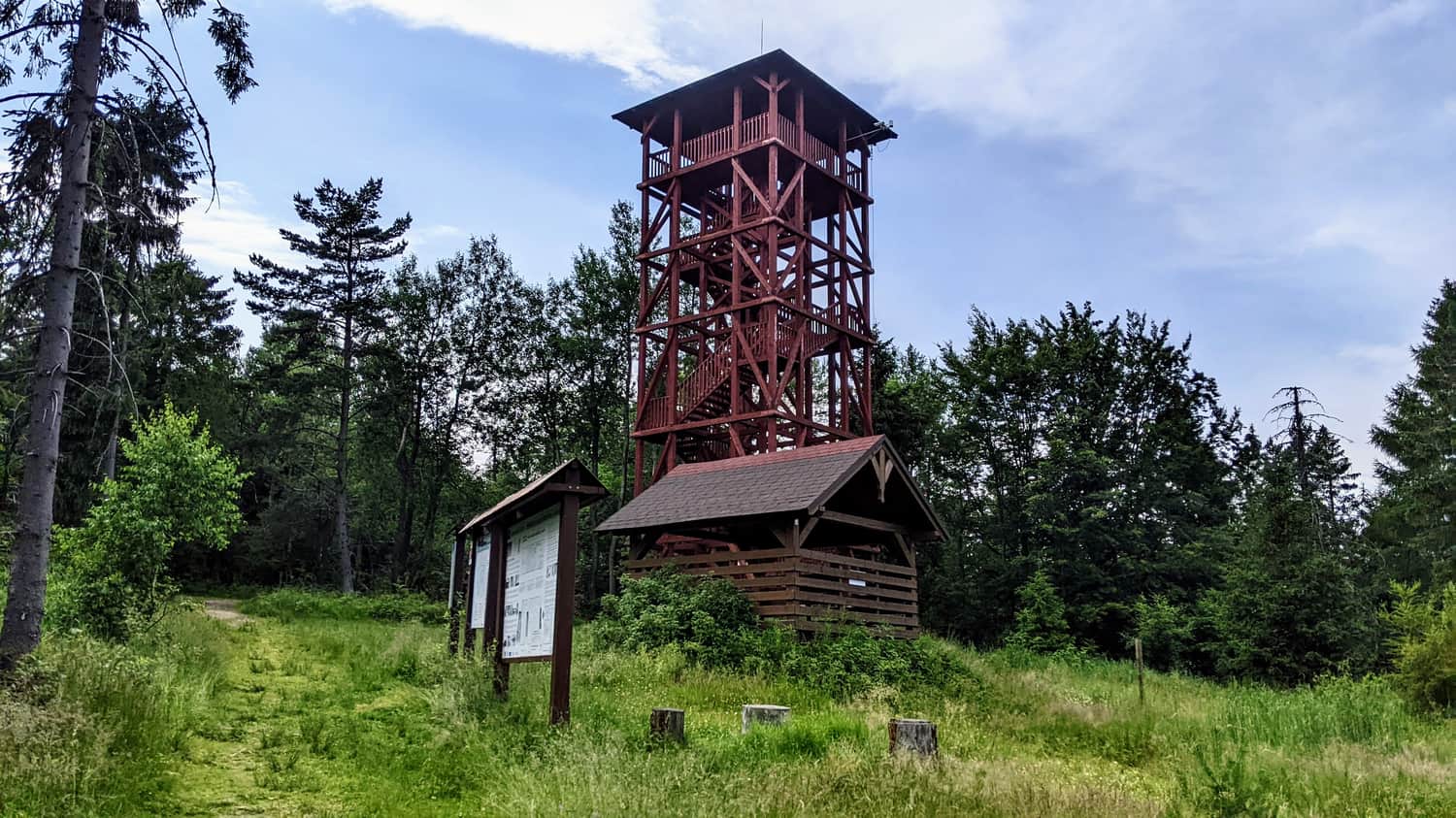
Eliaszówka
Eliaszówka (Slovak: Eliášovka) is an impressive peak in the Beskid Sądecki range, located on the Polish-Slovak border. With an altitude of 1024 meters, it is the highest point of the Góry Lubowelskie.
On the northeastern slope, there is the Sucha Dolina ski resort, which is popular in the region. On the southern slope, in the Lemko village of Litmanowa, there is the Sanctuary of Our Lady of Litmanowa, which is the destination of numerous pilgrimages.
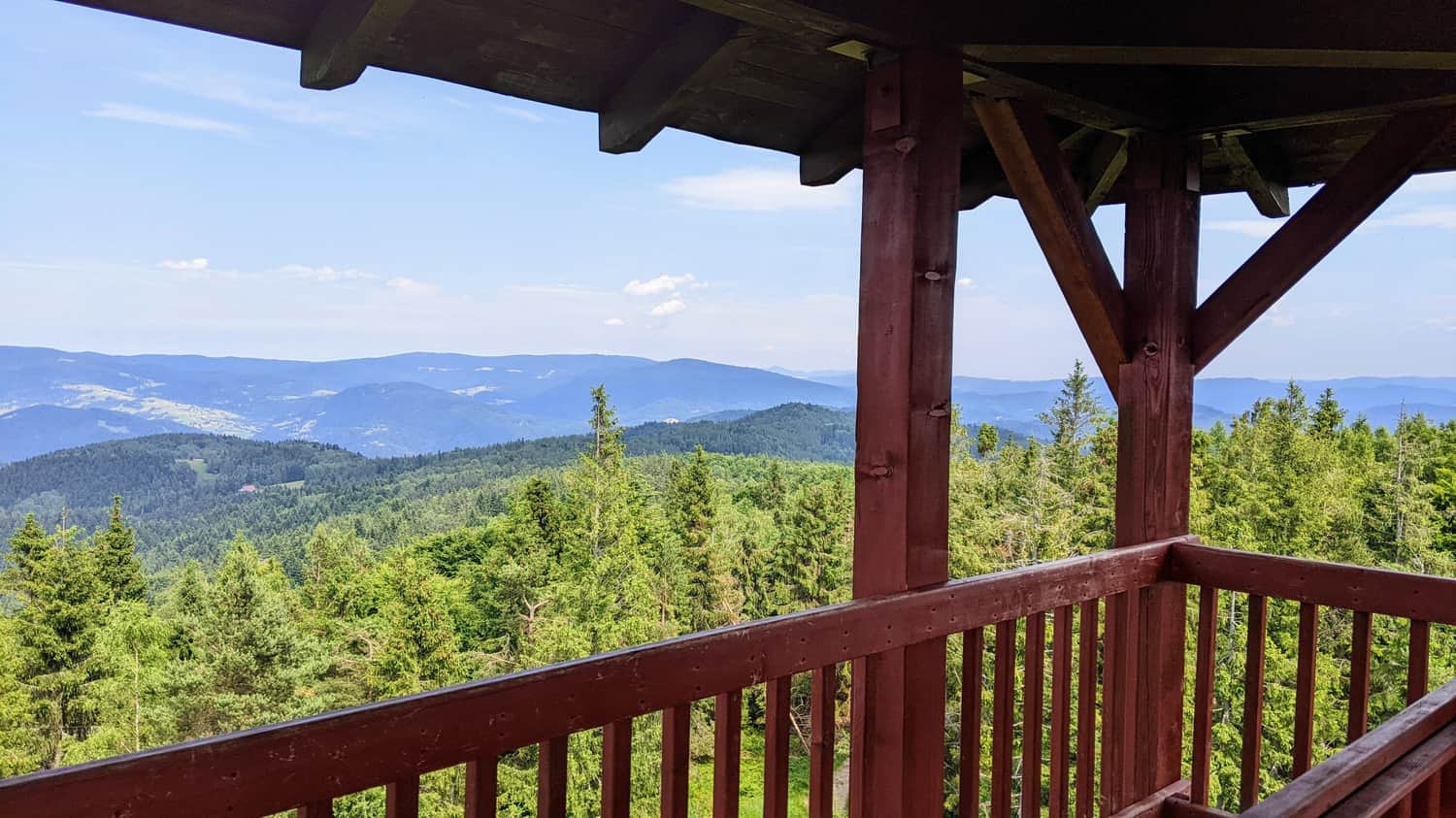
In the past, the slopes of Eliaszówka were devoid of forests and served as pasture areas. Currently, the summit is covered with a forest, which takes away some of its scenic attractiveness. During World War II and after the war, the vicinity of Eliaszówka was a popular crossing point for couriers of the Polish Underground State.
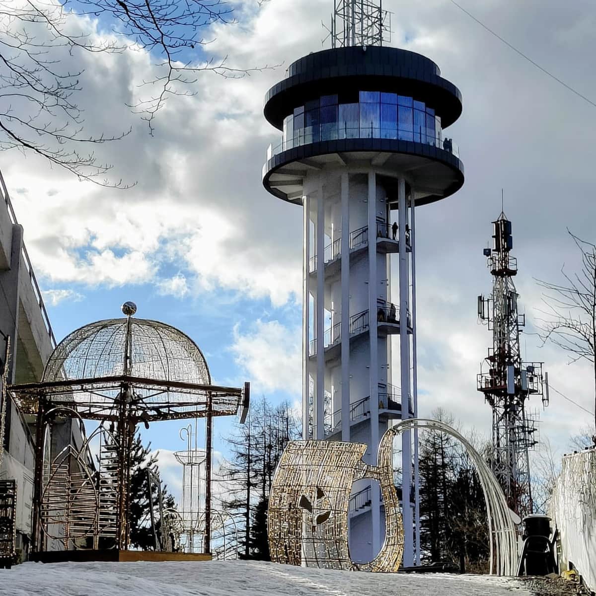
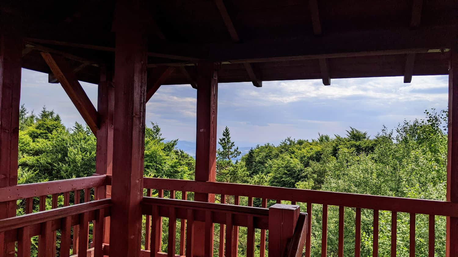
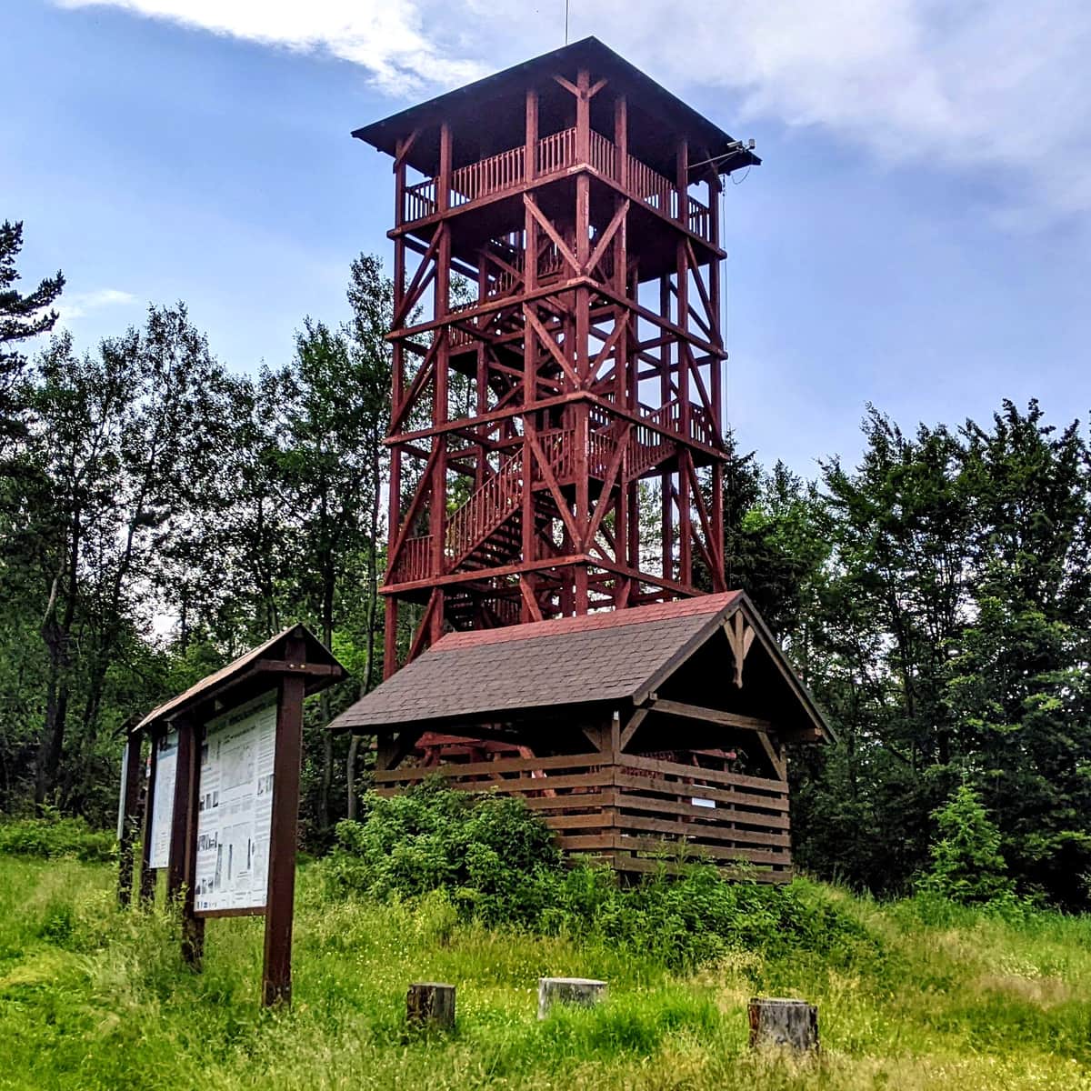
To increase the tourist appeal of the summit, a 20-meter wooden observation tower, a covered gazebo, a place for a bonfire, and a cycling obstacle course were built. It is also worth mentioning that until 2007, there was a tourist border crossing between Eliaszówka and Eliášovka, allowing crossing the border between Poland and Slovakia in this area.
P.S. The green border trail can be combined into a loop with the route from Eliaszówka through Wielki Rogacz and Niemcowa to Piwniczna Zdrój. In total, it will be about 23 km, 7-8 hours of hiking, with a 1000 m elevation gain.
More about other trails to Eliaszówka:
Eliaszówka Peak (1024 m) - trail map, views from the tower
All trails to the observation tower on Eliaszówka! ...
P.S. This route has been included in our list of the most beautiful trails in the Beskid Sądecki. Discover the others:
TOP 5 Beskid Sądecki - the most beautiful scenic trails
Beskid Sądecki is a long forested ridge of the Radziejowa and Jaworzyna Krynicka ranges, rising above the picturesque bends of the Poprad River. Here, you will find kilometers of hiking trails, lookout towers, and vast meadows with beautiful panoramas. Which routes offer the most stunning views? ...

Publish Date: