From Obidza to Radziejowa Peak
Nearby: Piwniczna Zdrój| Distance | 4.3km |
|---|---|
| Time | 2h 4min |
| Ascents | 400m |
| Descents | 62m |
wb_sunny Route in the sun
directions_car Access by car
Obidza, a hamlet of Piwniczna Zdrój on the Polish-Slovak border. The settlement is mainly known for its beautiful panoramic meadow called Litawcowa. From here, you can take the shortest and easiest route to Radziejowa, the highest peak of the Sądecki Beskids, crowned with an observation tower.
Attention! When entering "Obidza" in your navigation, make sure you have found the hamlet of Piwniczna! Quite close, to the south of Jazowsko nad Dunajcem, there is another Obidza! Interestingly, the blue trail also starts from that Obidza, and you can also reach Radziejowa from there (via Przehyba, 5 hours, 14 km).
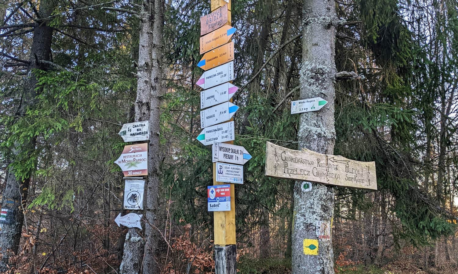
Obidza Pass - Access and Parking
In the upper part of Obidza, there are several private buildings, tourist cottages, seasonal gastronomic points, including Bacówka na Obidzy offering accommodation and a restaurant for all interested guests. On the way to Obidza Pass, there are several parking lots: public and private (paid), including one at the very top (which fills up quickly).
We can also reach Obidza Pass "from the Pieniny side", i.e. from Jaworki through the Biała Woda Reserve:
Medium
Obidza via Biała Woda from Jaworki

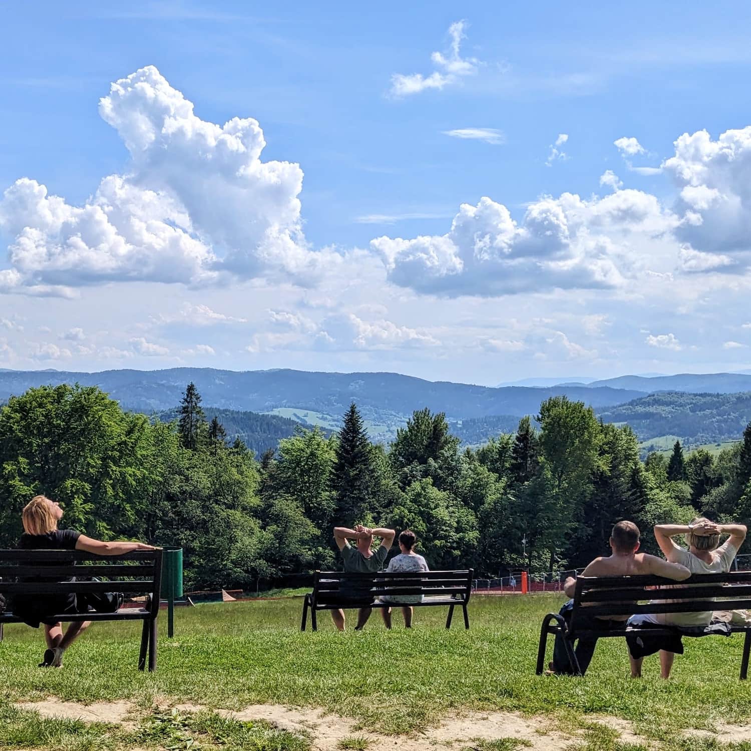
Litawcowa Meadow in Obidza - Views
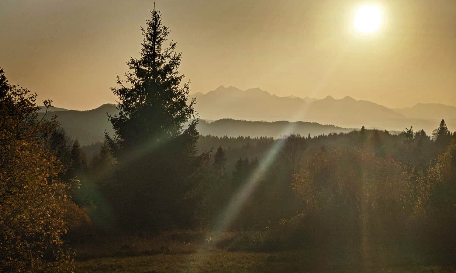
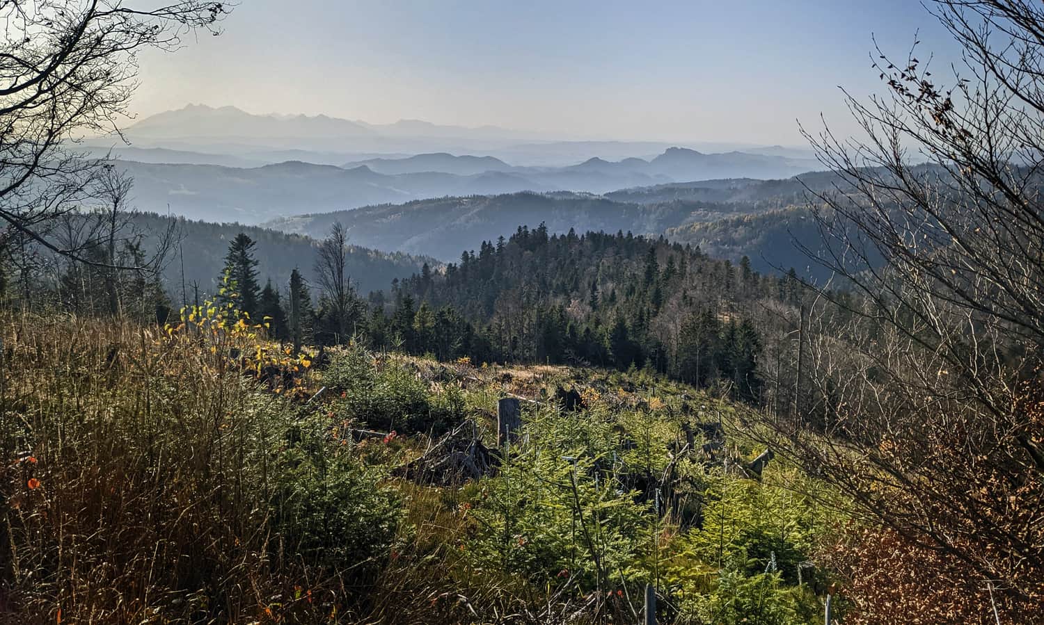
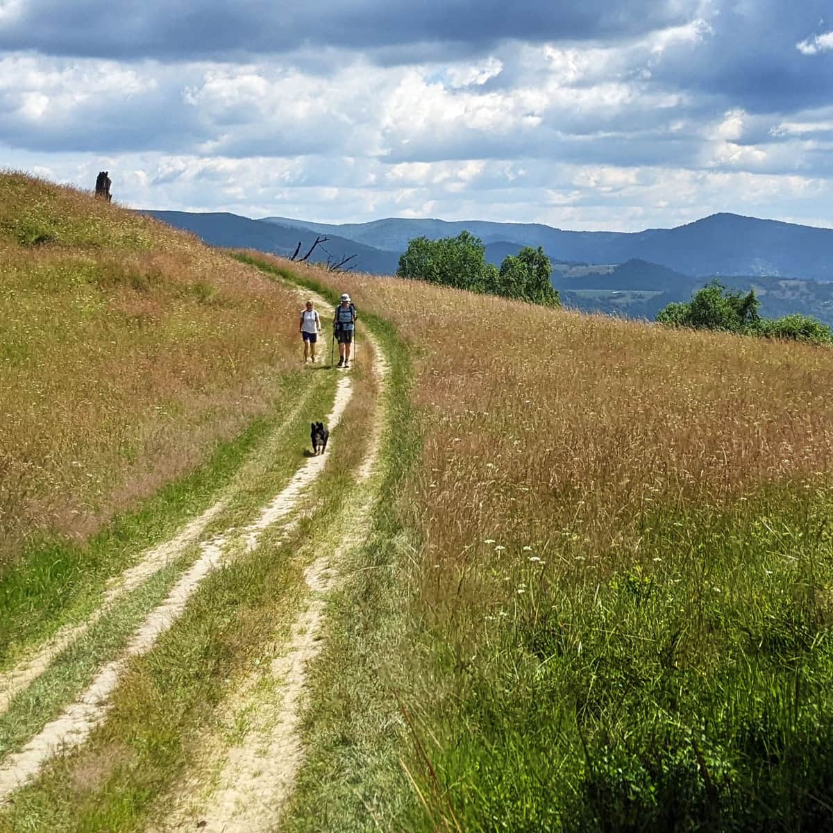
While climbing to Obidza Pass from the Piwniczna side, we can admire the views of the Polish Sądecki Beskids, the Poprad Valley, and the forested ridges on the Slovak side. Just after the pass, a west panorama opens up, including the High Tatras!
Litawcowa Glade, which used to belong to the Lemko village of Biała Woda, is now one of the favorite places to observe the magical colors of the sunset:
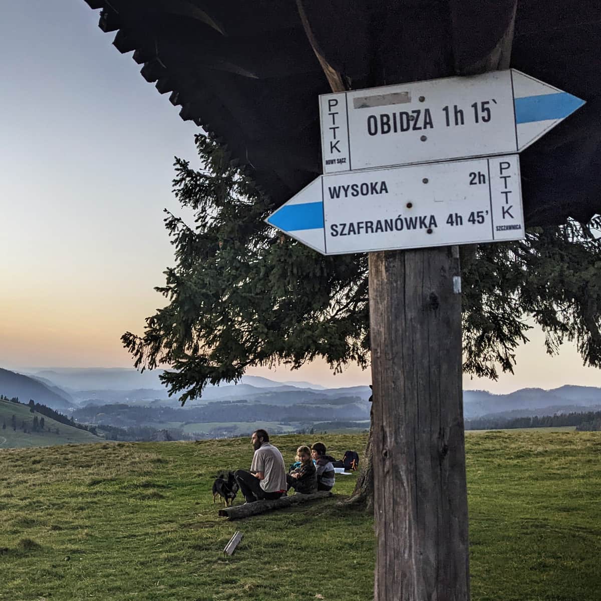
Blue Trail from Obidza - Easiest Route to Radziejowa
It is from the meadows in Obidza that the shortest, fastest, and easiest (with the least elevation gain) trail to Radziejowa, the highest peak of the Sądecki Beskids, leads.
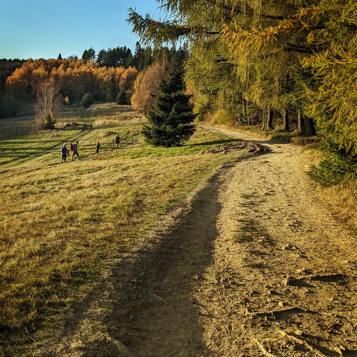
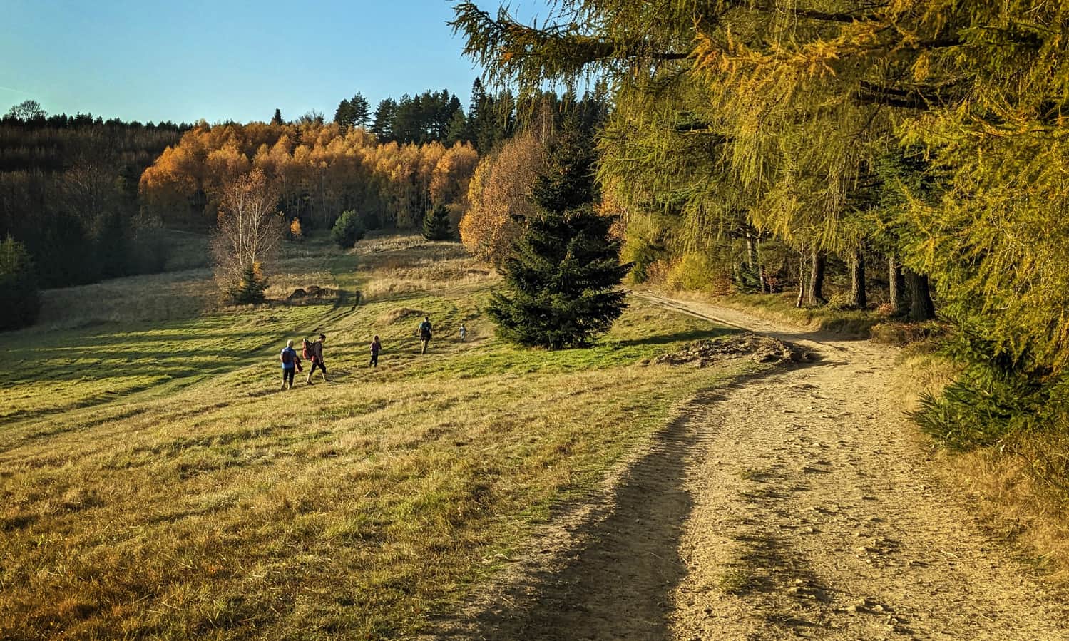
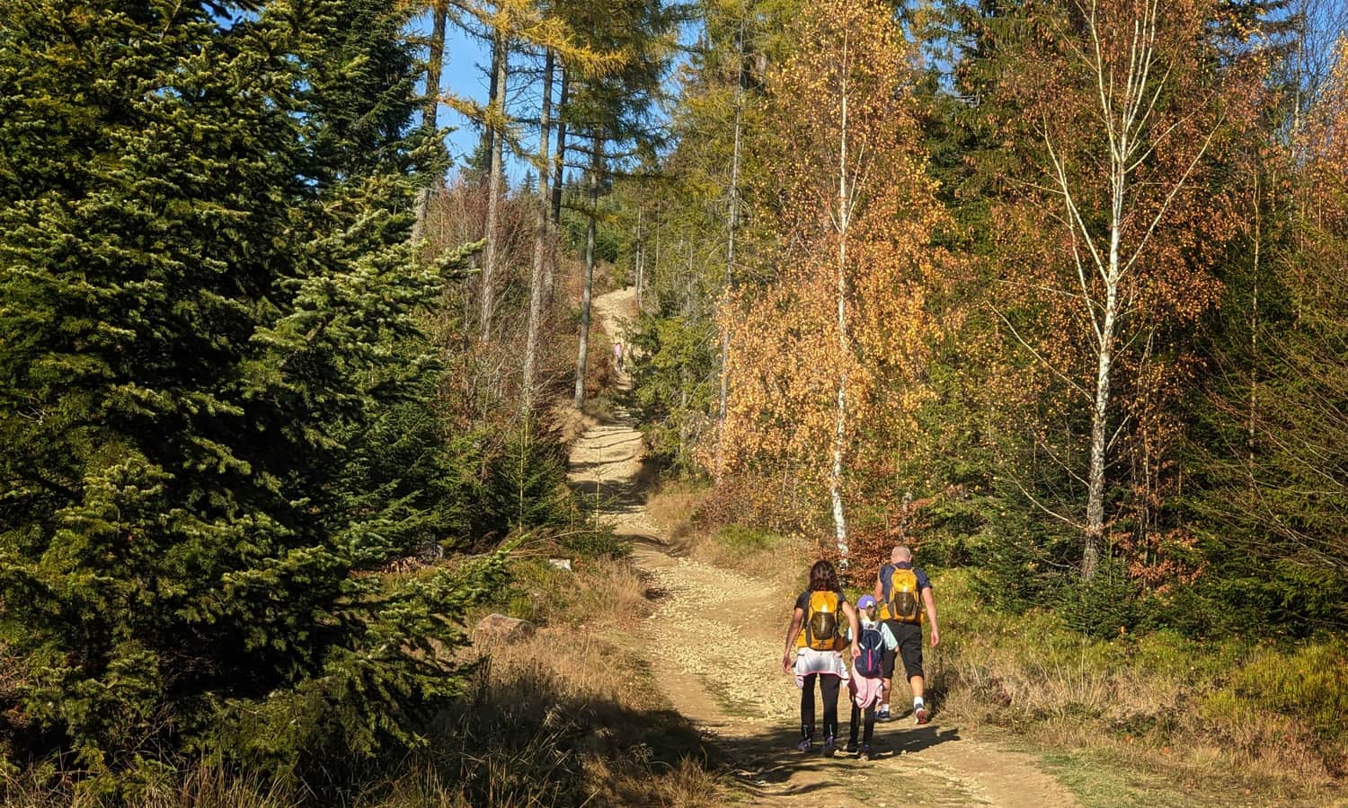
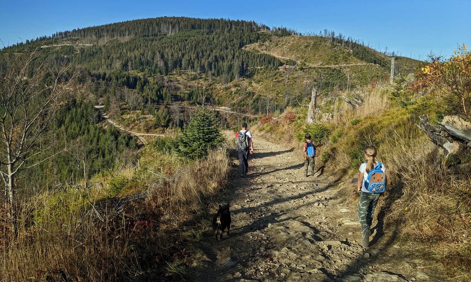
Initially, we walk on a wide road through a scenic meadow. Unfortunately, the pleasure of hiking can be spoiled by noisy quads and motorcycles... The ascent begins after separating from the red trail to Jaworki.

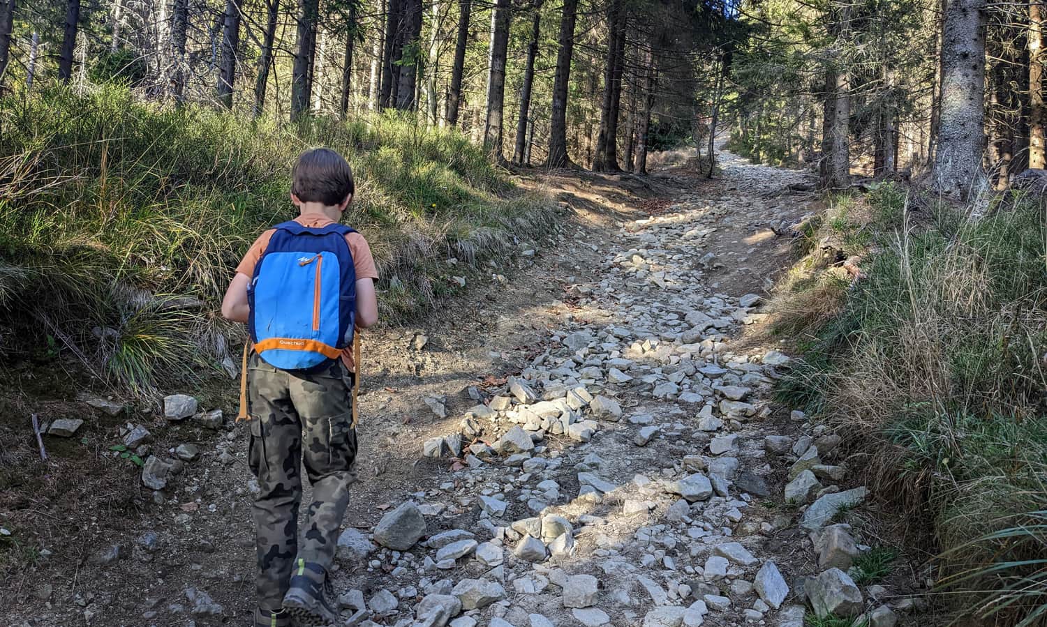
The road becomes narrower, rocky, and above all steep, and on a sunny day, it can be strongly sunny as well. This is the first of two challenging moments on the way to Radziejowa.
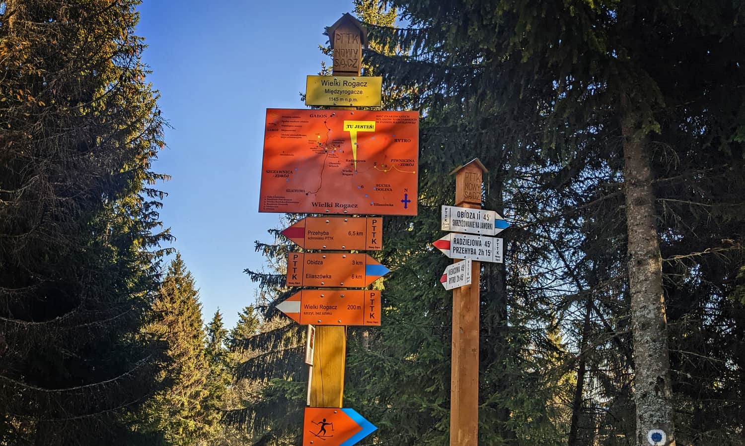
Red Trail from Wielki Rogacz to Radziejowa
On the forested summit of Wielki Rogacz, we can take a break in the shade - this time without any views. Our blue trail ends here. We will continue our journey following the red markers.
After the summit, a moment of calmer walking without climbing awaits us. And once again, we will see the Tatras! This time accompanied by the ridges of the Small Pieniny and the Proper Pieniny with the characteristic silhouette of the Three Crowns.
From this spot, we can also see our destination: the forested ridge of Radziejowa with the observation tower barely protruding above the treetops.
Ascending Radziejowa on the Red Trail
After resting on a wide, comfortable road from Żłobki Pass, a difficult section awaits us: a short (0.8 km) but very steep (150 meters of elevation gain) ascent to the summit of Radziejowa. This is a test of our strong will: do we really want to conquer the highest peak of the Sądecki Beskids? It's not easy, but we won't give up just at the foot of the tower!
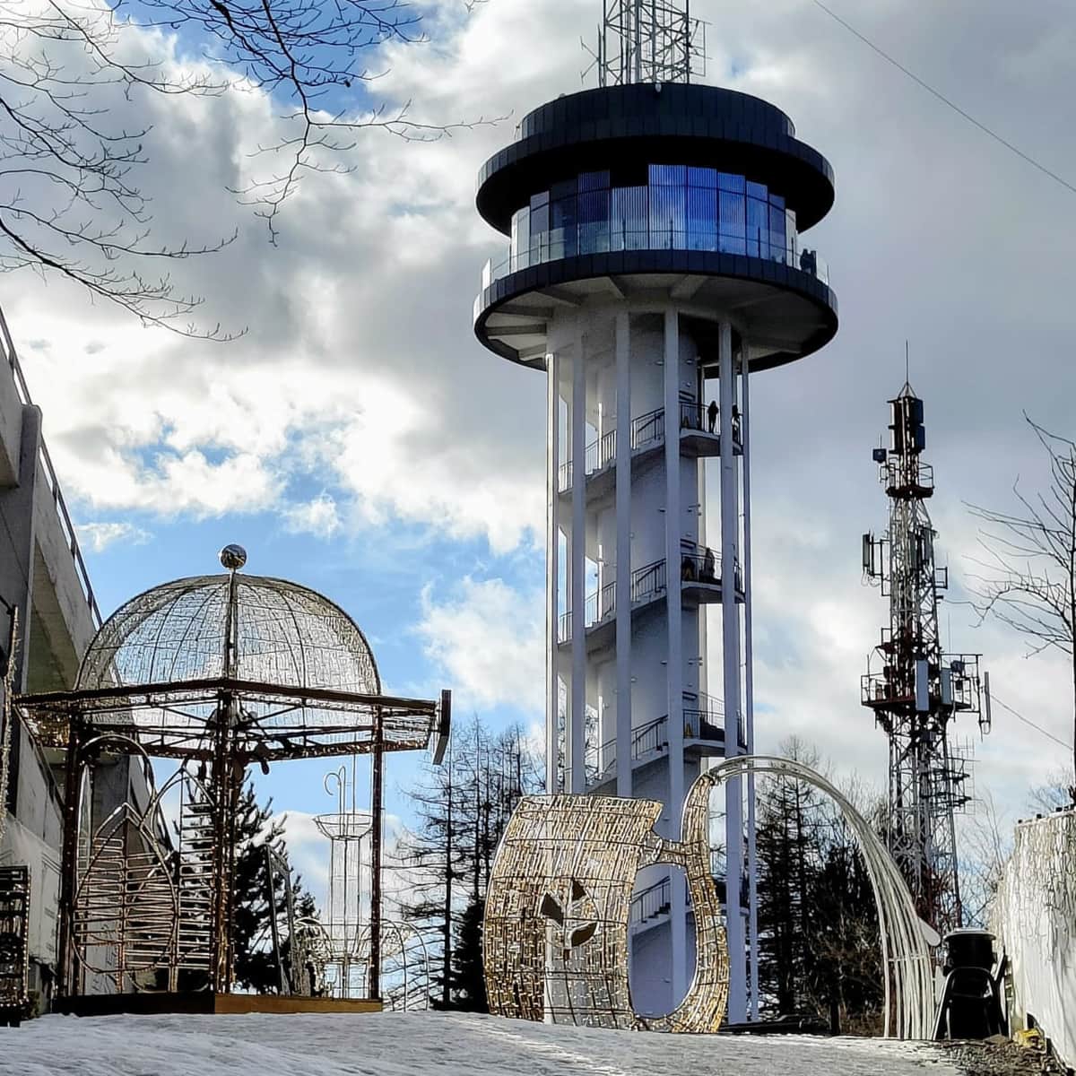
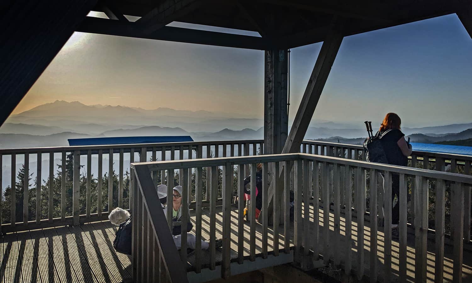
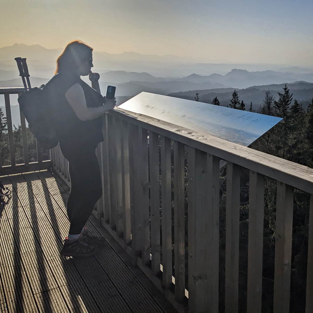
Observation Tower on Radziejowa
How fortunate that there is a tower! Otherwise, we wouldn't see anything from the forested summit...
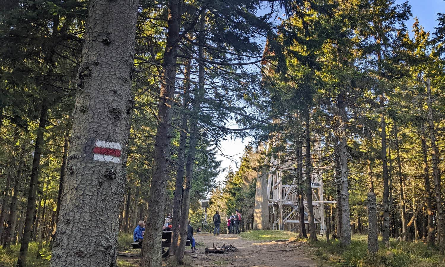
The metal structure elevates us above the treetops and reveals a panorama of all four sides of the world: the Tatras and Pieniny to the south, Gorce to the west, the Beskid Wyspowy to the north, and the mysterious Slovak hills to the east!
For more information about the summit of Radziejowa, the observation tower, as well as alternative routes to avoid the steep section at the top and other trails:
Radziejowa - all trails and observation tower
Radziejowa is the highest peak in the Sądecki Beskids (1266 m above sea level), included in the Crown of Polish Mountains and the Crown of the Beskids. Thanks to the new observation tower on the forested summit, we can enjoy a panorama of the Tatras, Pieniny, Gorcys, and the Beskids. ...
We return to Obidza the same way. It will be downhill, so we should be back in Obidza in about 1.5 hours, or maybe even faster!
PS. This trail has been included in our list of the most beautiful trails in the Sądecki Beskids. Discover the rest of them:
TOP 5 Beskid Sądecki - the most beautiful scenic trails
Beskid Sądecki is a long forested ridge of the Radziejowa and Jaworzyna Krynicka ranges, rising above the picturesque bends of the Poprad River. Here, you will find kilometers of hiking trails, lookout towers, and vast meadows with beautiful panoramas. Which routes offer the most stunning views? ...

Publish Date:
Last Updated: