
Radziejowa - all trails and observation tower
Radziejowa is the highest peak in the Sądecki Beskids (1266 m above sea level), included in the Crown of Polish Mountains and the Crown of the Beskids. Thanks to the new observation tower on the forested summit, we can enjoy a panorama of the Tatras, Pieniny, Gorcys, and the Beskids.
Radziejowa - the highest peak of the Sądecki Beskids
The Radziejowa massif is located in the western part of the Sądecki Beskids, adjacent to the Pieniny and Gorcys. The name of the peak most likely comes from the legendary Radziej, about whom unfortunately we know nothing more... Not much is known about the mysterious ice cave on the eastern slopes of Radziejowa either (references to it can be found in books by M. Kownacka "Rogaś from the Roztoka Valley" and "School above the clouds").
At the summit, we will find benches and tables, a concrete pillar commemorating Count A. Stadnicki, a monument to the 1000 years of Poland (and the 60th anniversary of the Nowy Sącz branch of the Polish Tourist and Sightseeing Society), and informational boards. For souvenir lovers from the trail, there is a stamp in a small box!
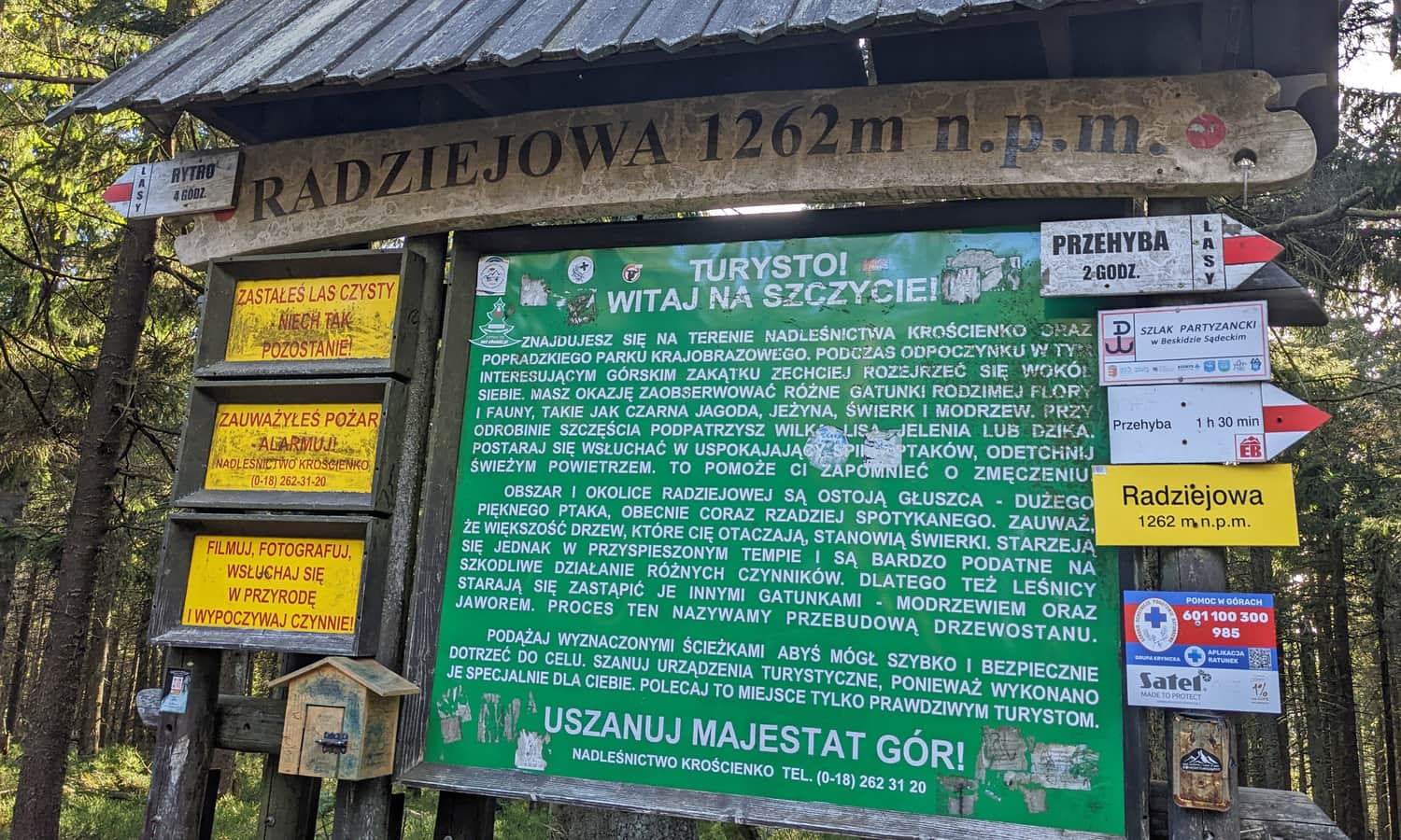
Radziejowa: 1266 or 1262 m above sea level?
As you can see in the above photo, Radziejowa seems to have shrunk by 4 m? The journey to Przehyba also takes us sometimes 1 hour and 30 minutes, sometimes 2 hours... We do not attempt to resolve this issue, but from our cursory research, it appears that older sources give 1262 m, newer ones, including electronic maps and applications, give 1266 m, and even 1266.5 m above sea level.
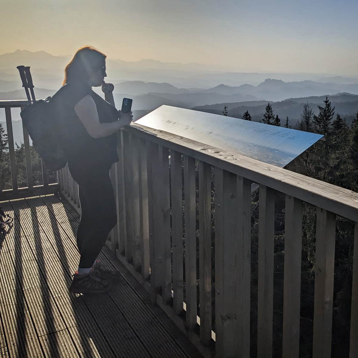
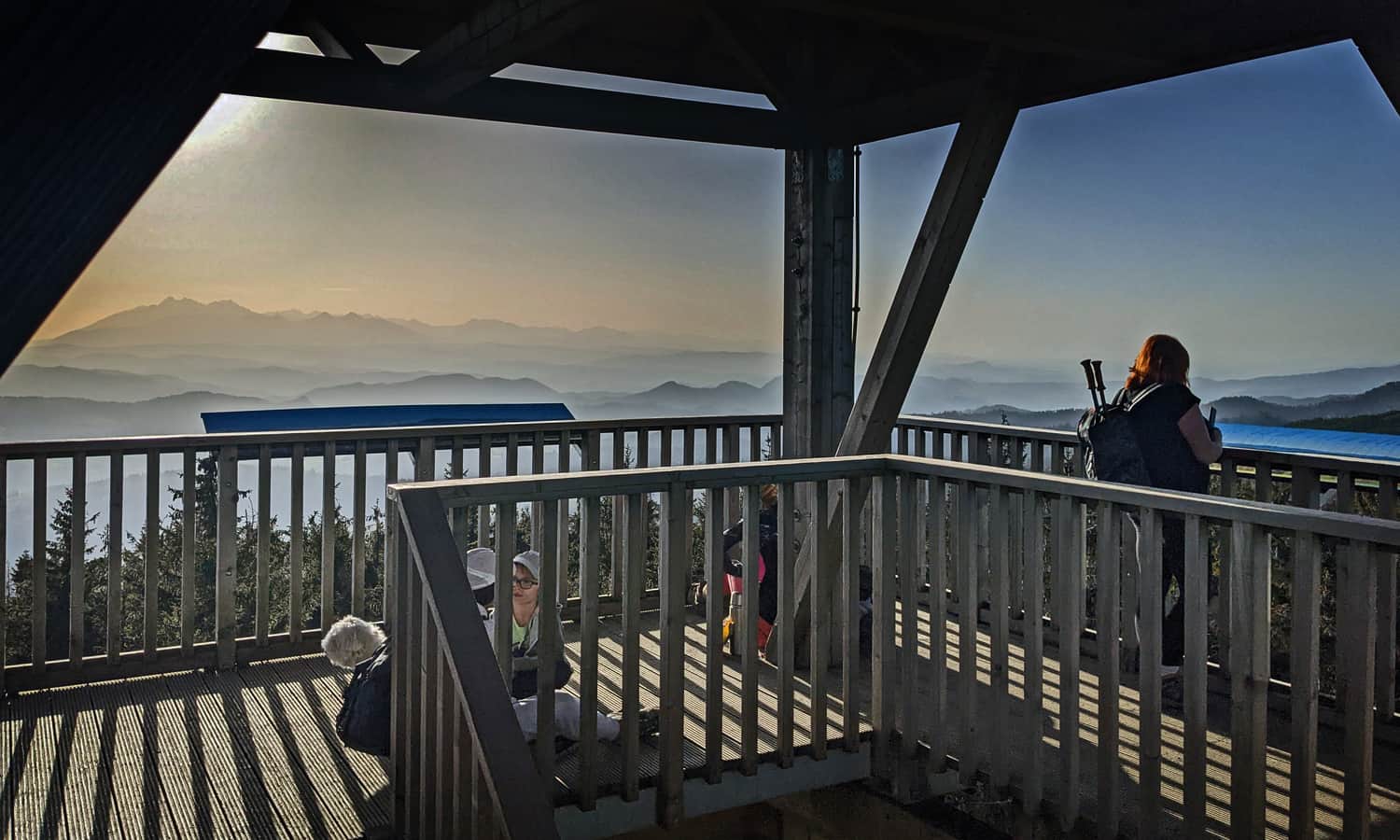
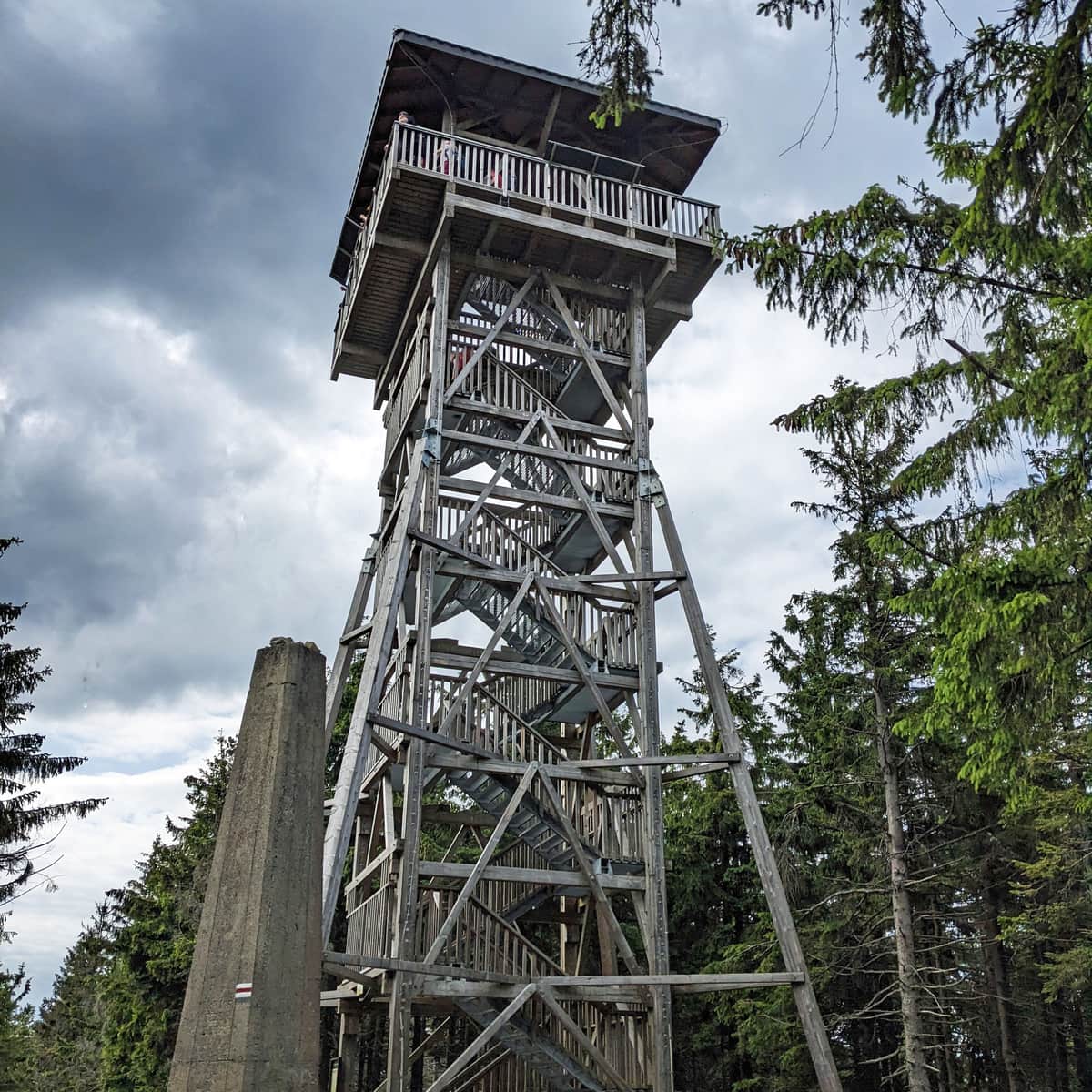
Observation Tower on Radziejowa
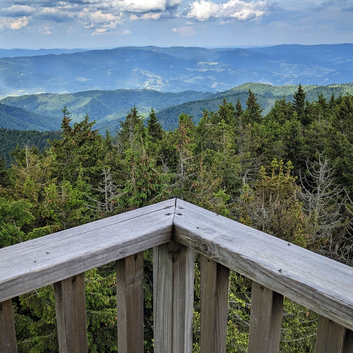
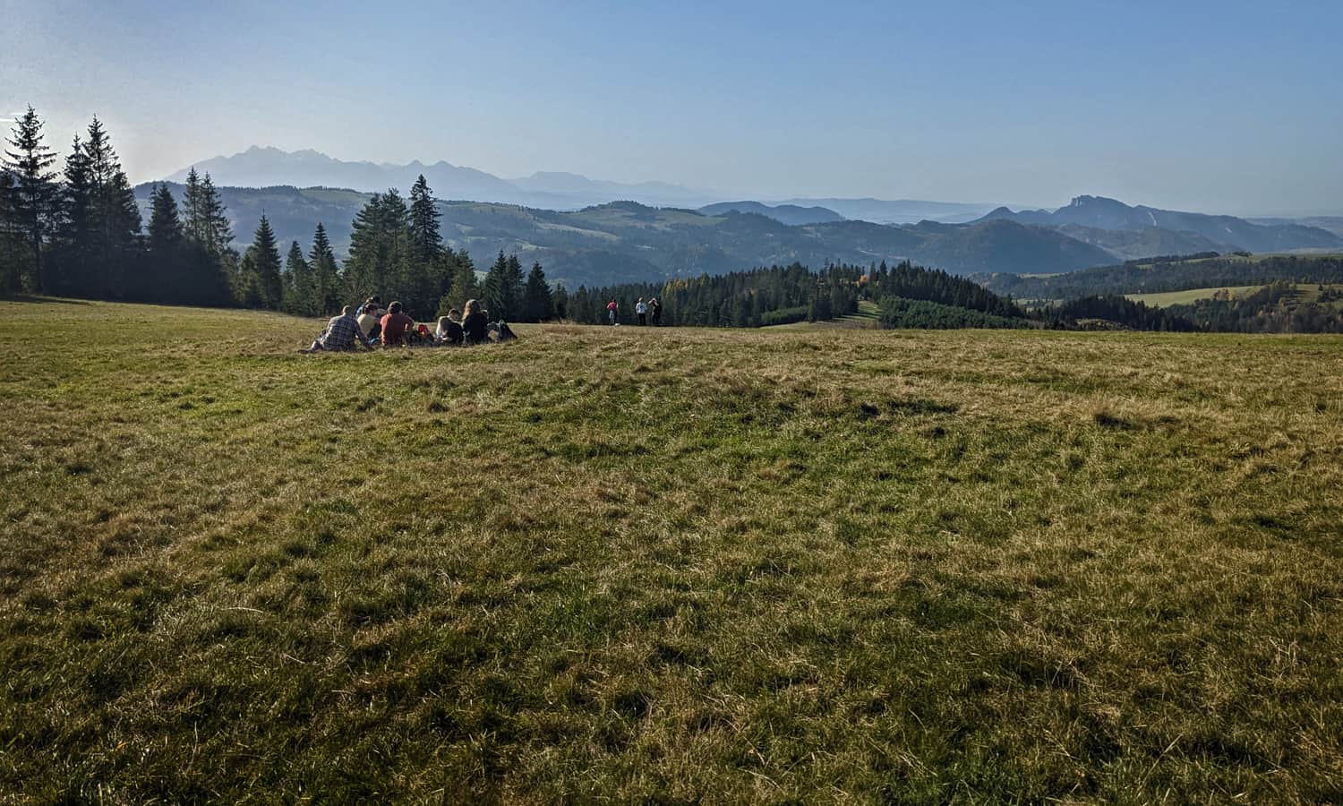
Thanks to the possibility of rising above the treetops, our effort to reach the highest peak of the Sądecki Beskids is rewarded with a breathtaking panorama in all four directions!
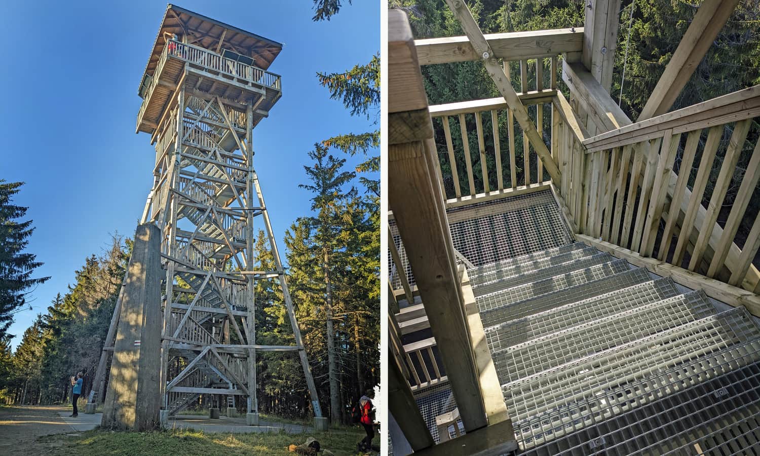
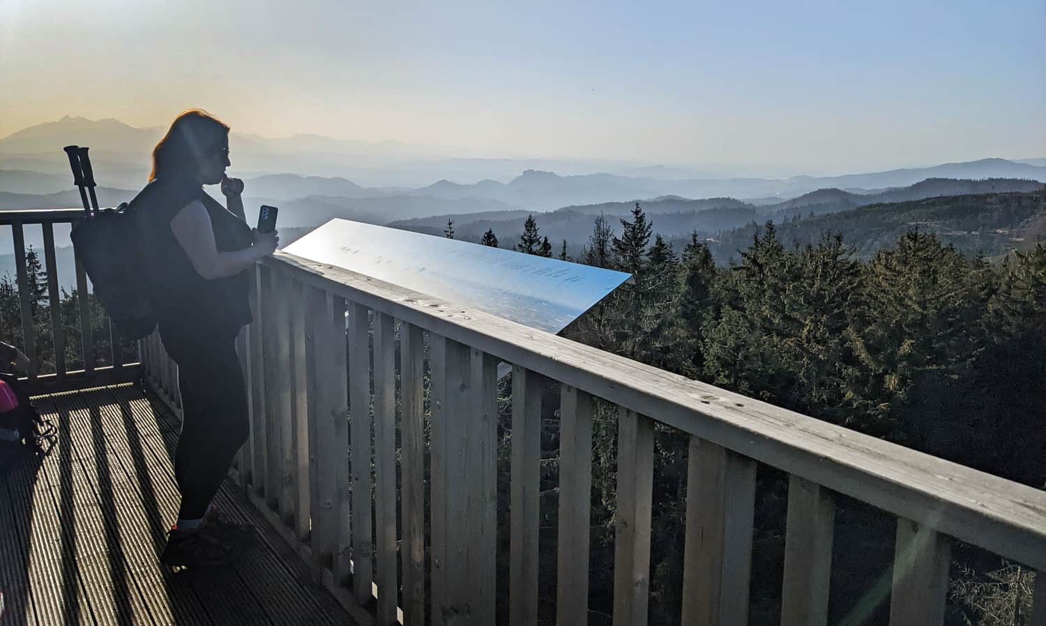
The current observation tower on Radziejowa, opened in 2020, has a wooden and metal structure. The grated stairs, through which we can see everything below us, may discourage people with a fear of heights. However, we really liked the railings: there is no need to tiptoe or lift children to see something.
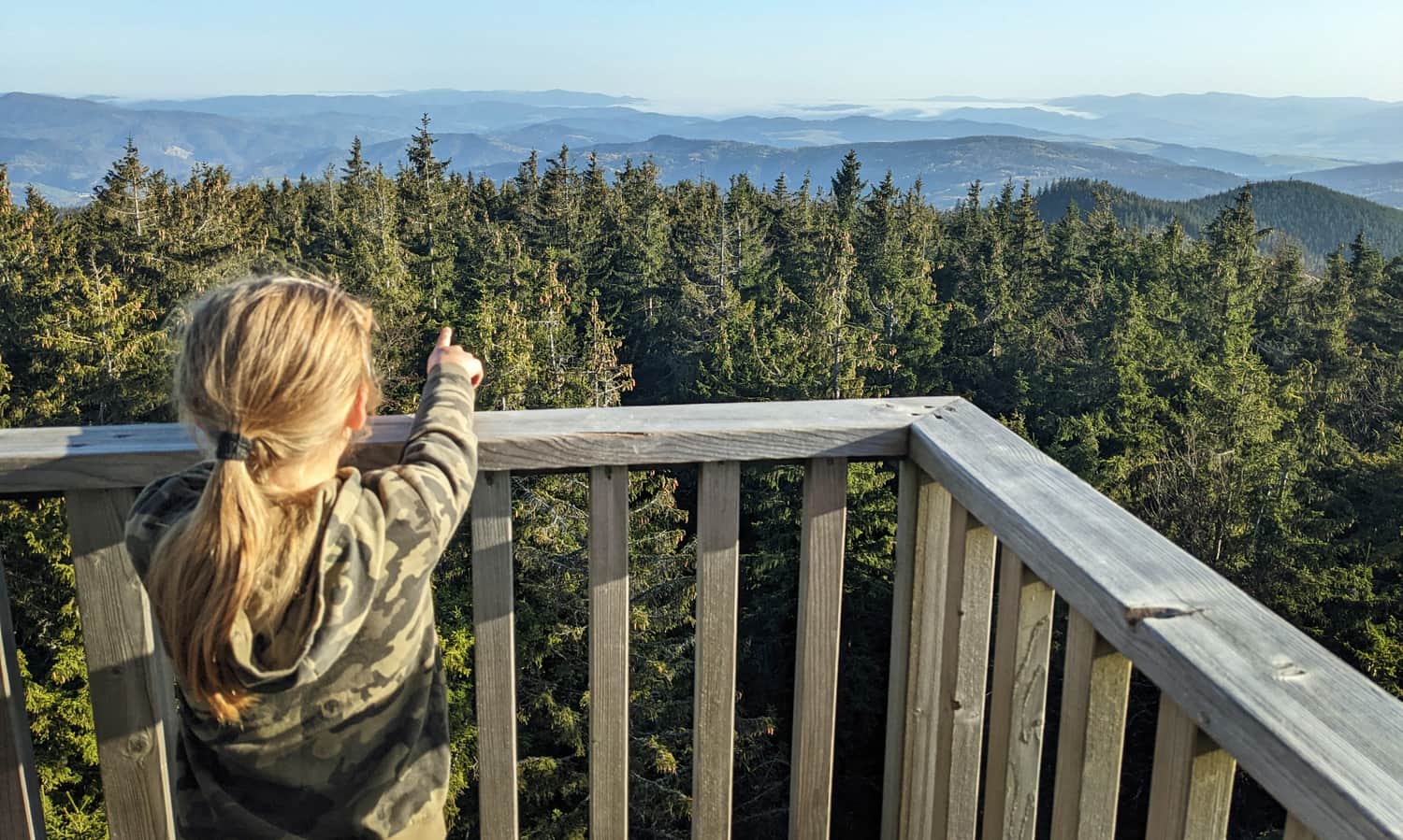
What can we see from the observation tower on Radziejowa?
Everything! (or almost everything). Certainly, the most spectacular is the southwest panorama, which includes views of the Tatras and Pieniny. The only problem here is... the sun. If we don't manage to climb the tower in the morning or early afternoon hours, and the day is cloudless, we won't see much... But for example, at sunset, it must be magical!
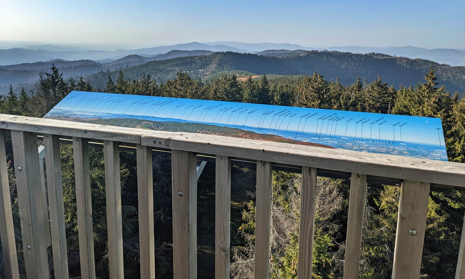
All four cardinal directions are precisely described on large, readable boards. Visible towns, mountain ranges, and individual peaks with their heights are described.
Which trail to choose for Radziejowa?
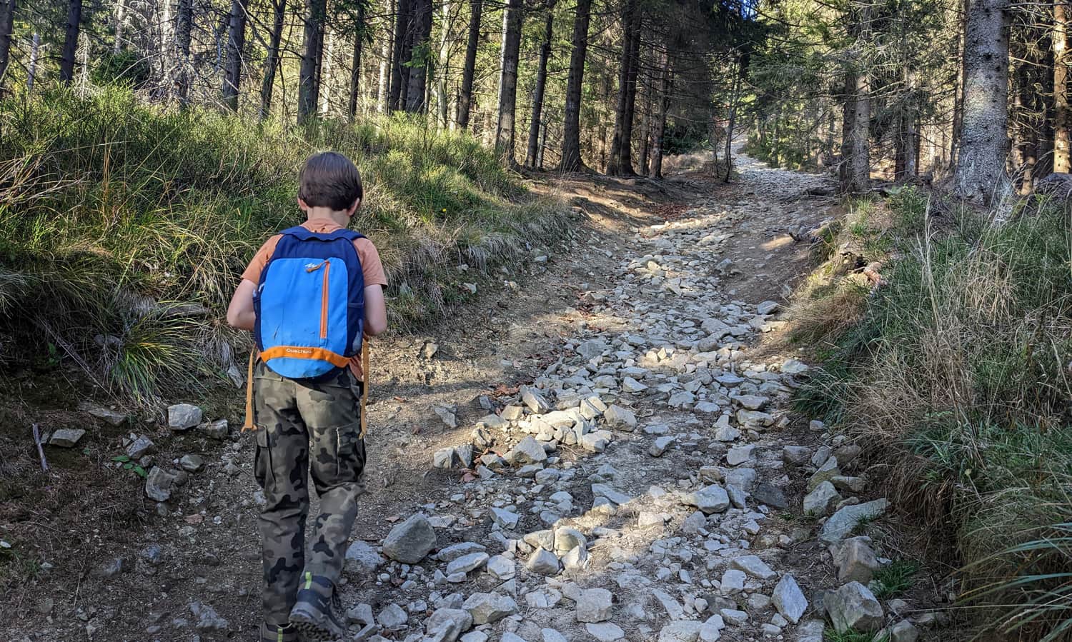
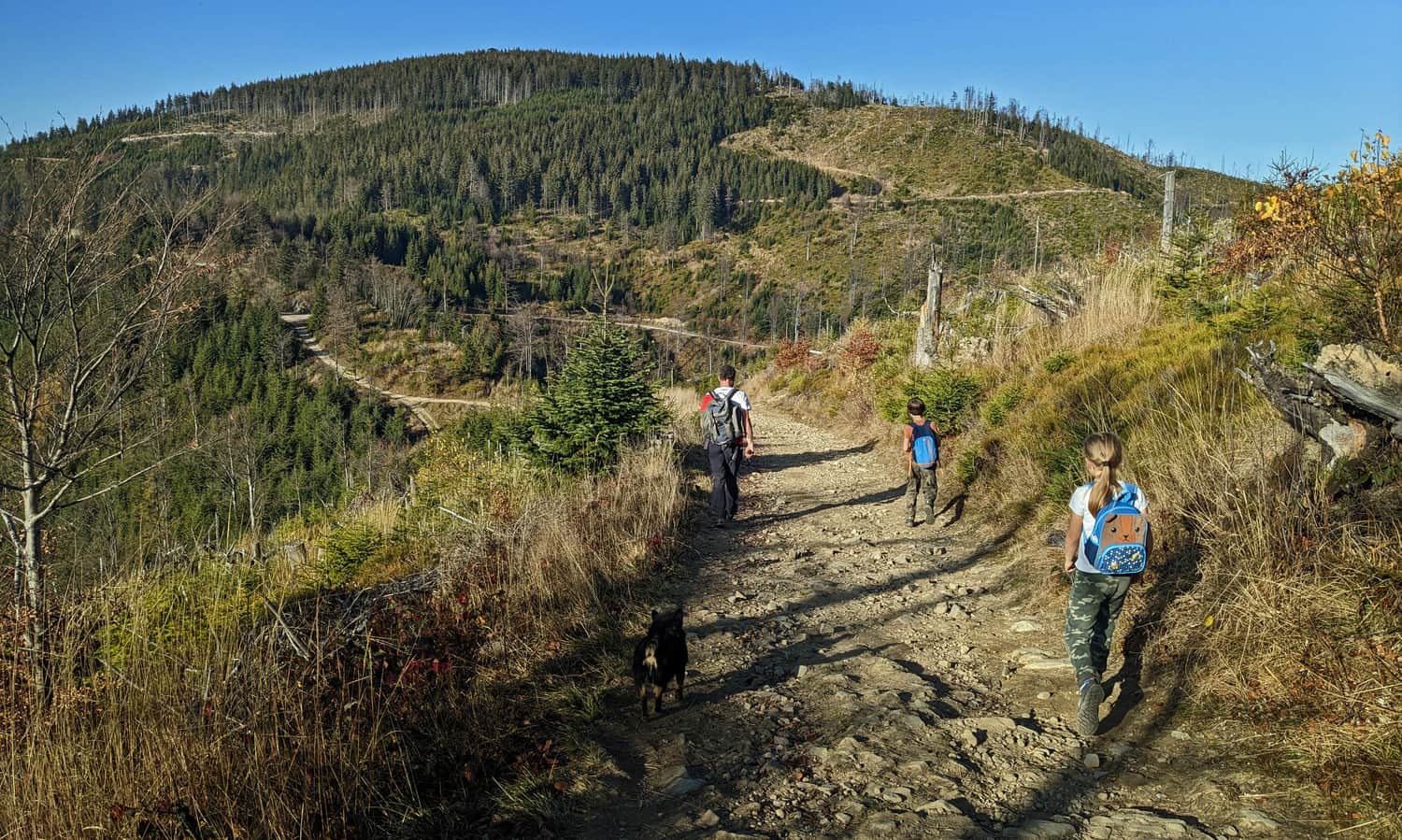
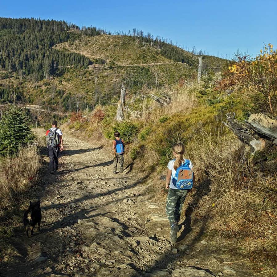
There are many routes leading to the highest peak of the Sądecki Beskids, mainly from the east, from the Poprad Valley - from Rytra and Piwniczna, but also from the north, from the border of Pieniny and the Sądecki Beskids, from Jaworek.
Most of the trails (all except the red trail from Przehyba) will lead us to the Żłobki Pass. From there, a short (0.8 km) but very steep path (160 m of elevation gain) will take us to the summit. We can bypass it by taking the wide ski trail until we reach the red trail from Przehyba - Mała Radziejowa - Radziejowa. The approach from this side is much easier but longer.
Medium
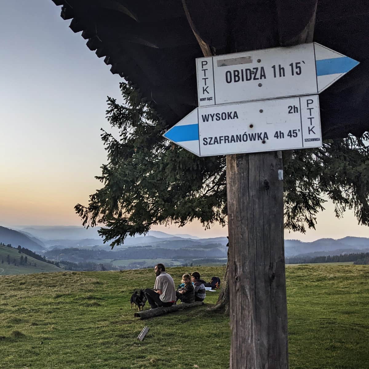
From Obidza to Radziejowa Peak

Medium
From Piwniczna Zdrój to Radziejowa

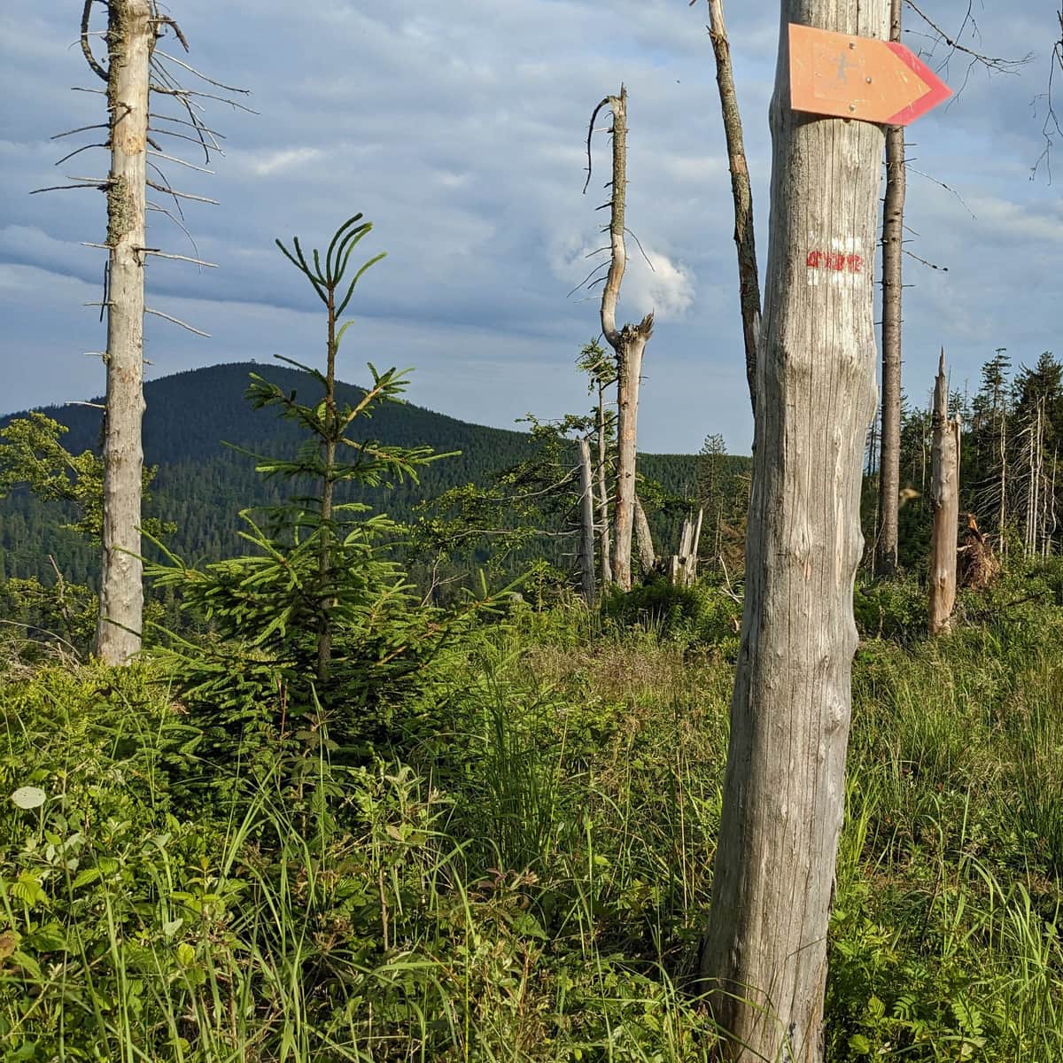
From Rytr to Radziejowa, we can ascend through Niemcowa on an incredibly scenic red trail (11 km, about 5 hours):
The loop with the ascent on the yellow trail and descent on the red trail takes a total of 7-8 hours and covers 22 km, with almost 1200 m of elevation gain.
Medium
Red Trail from Rytro to Radziejowa Peak via Niemcowa

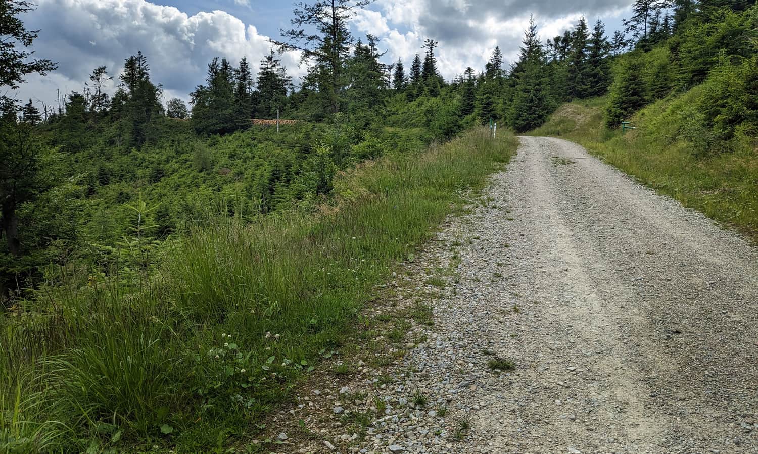
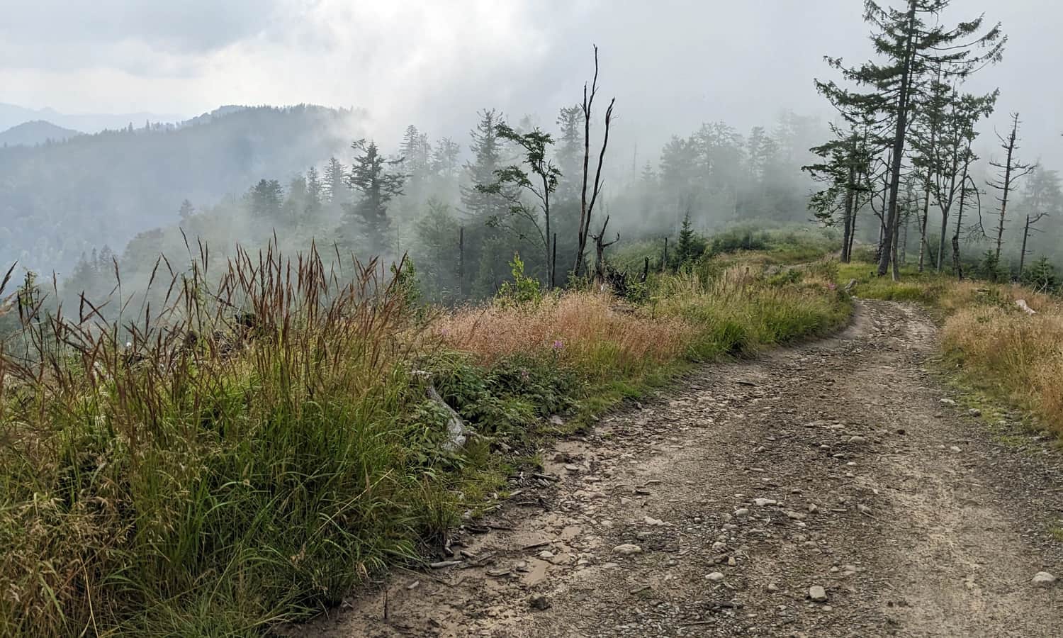
Additionally, from Rytr, more precisely from Roztoka Mała, there is a convenient, wide "ski trail" with a cycling path leading to Radziejowa. It is worth remembering this road, especially if we have to return from Radziejowa after dark or during bad weather:
Medium
Shortest trail to Radziejowa from Rytra

In contrast to the trails to Radziejowa from the Poprad Valley, starting from Jaworek, we have to overcome a smaller elevation difference. Along the red trail, it will be about 750 m:
...plus from Obidza to the summit of Radziejowa:
Medium
Radziejowa from Jaworek - red trail

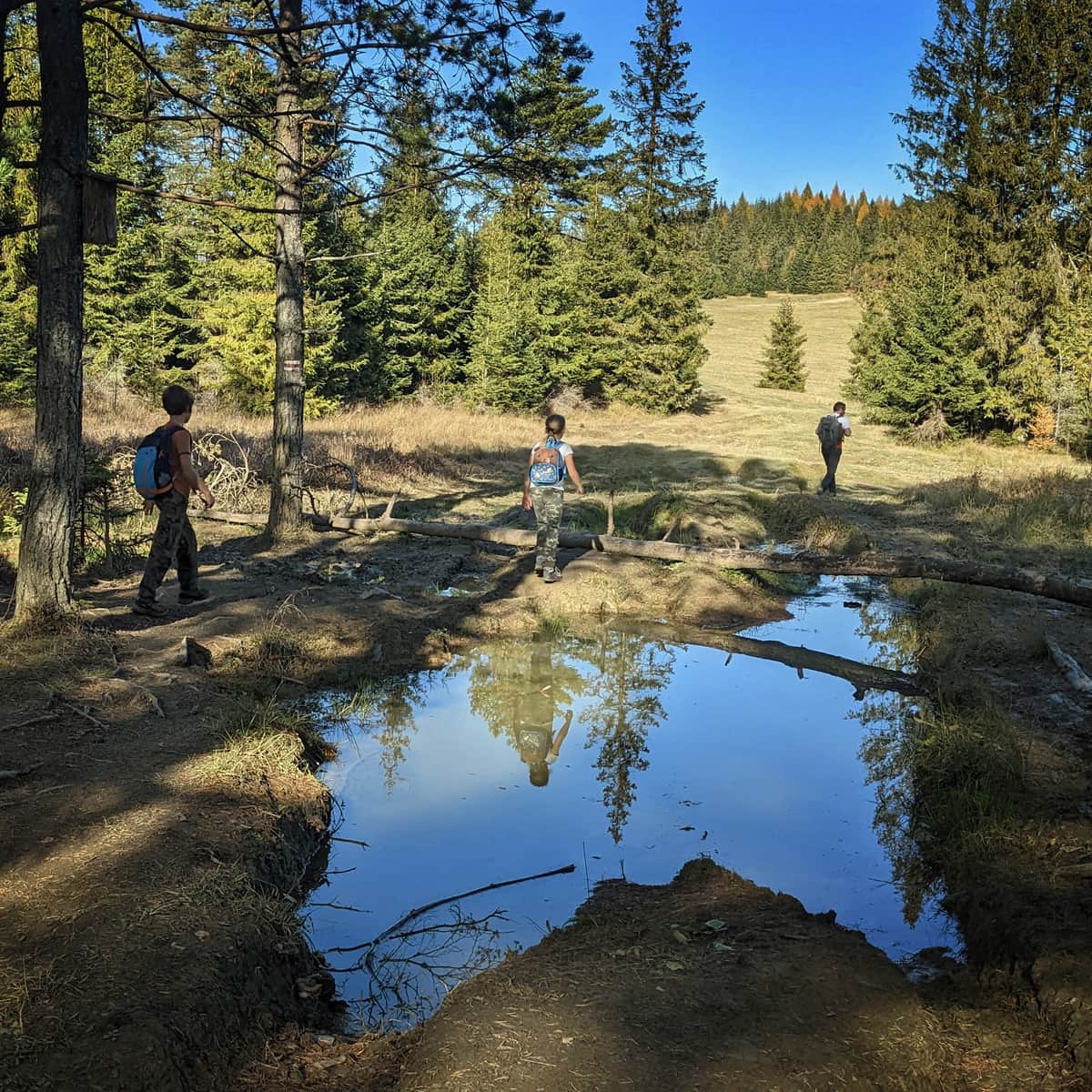
These three routes together form a loop: Jaworki > red trail > Radziejowa > Obidza > Biała Woda > Jaworki. We recommend this idea for a scenic trip, which will take you about 6-7 hours in total (20 km, 900 m of elevation gain). Along the way, you will encounter 5 different scenic clearings!
Medium
Obidza via Biała Woda from Jaworki

Medium
From Obidza to Radziejowa Peak
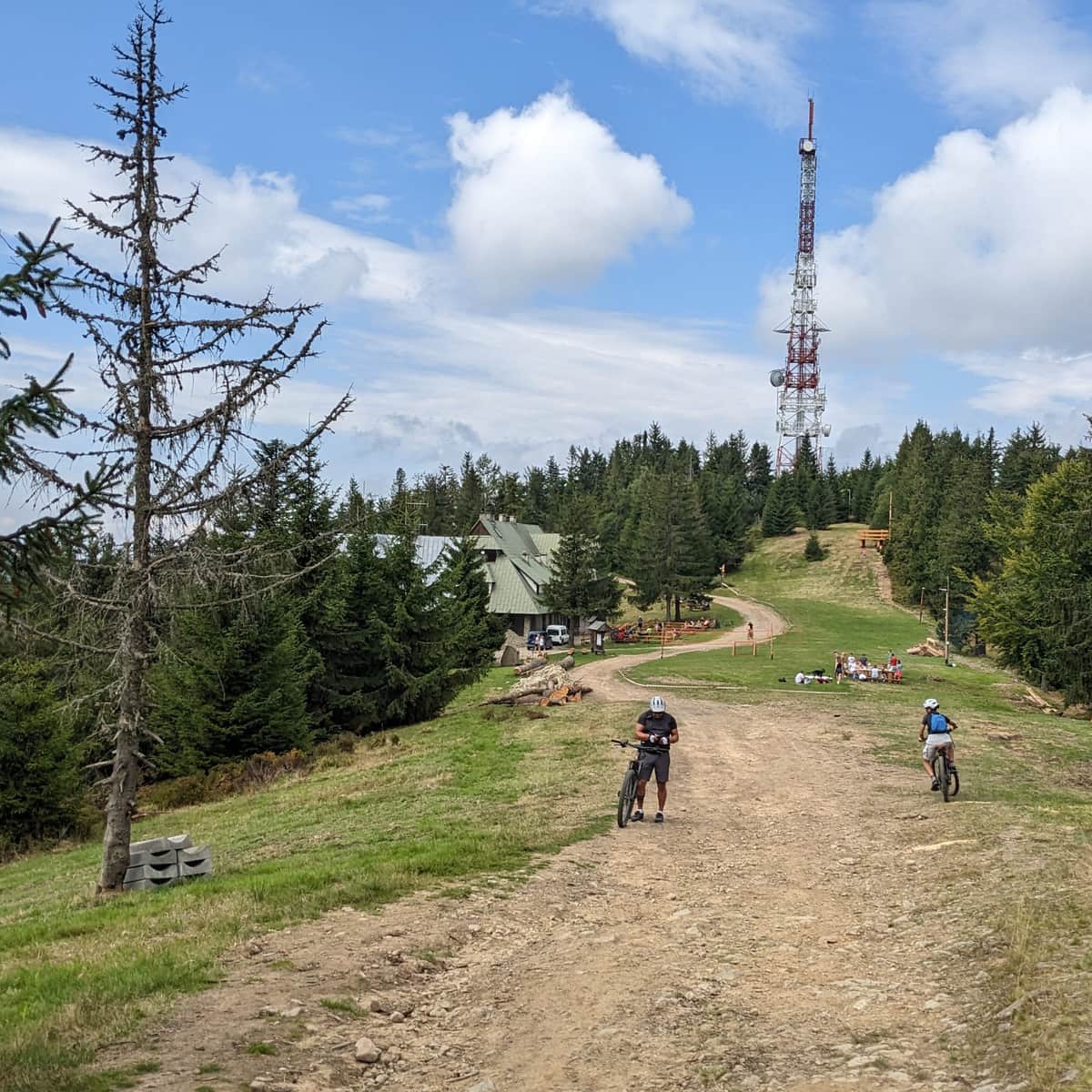
You can also ascend Radziejowa from the side of the shelter at Przehyba (about 1.5 hours on the red trail). This is definitely the easiest approach to the summit because, unlike the other routes, it does not lead through steep, rocky sections but rather along a wide forest ridge road.
Of course, if you want to choose this trail, you first need to get to the shelter itself. In this article, we have described everything worth knowing about the PTTK shelter at Przehyba and the trails leading to it:
To idealny wybór, jeśli mamy ochotę wybrać się na wieżę widokową na wschód albo zachód słońca!
Easy
Radziejowa Peak from Przehyba - the easiest trail to Radziejowa

Oczywiście jeśli chcemy wybrać ten szlak najpierw musimy dostać się do samego schroniska. W tym artykule opisaliśmy wszystko, co warto wiedzieć o schronisku PTTK na Przehybie i szlakach do niego prowadzących:
PTTK shelter in Przehyba - trails, views and attractions
The PTTK shelter in Przehyba is located in the Beskid Sądecki Mountains, in the Radziejowa Range at an altitude of 1,175 m above sea level. A beautiful southwestern panorama, tasty simple dishes and the possibility of overnight stay await us here. ...

Publish Date:
Last Updated: