Radziejowa Peak from Przehyba - the easiest trail to Radziejowa
Nearby: Nowy Sącz| Distance | 4.9km |
|---|---|
| Time | 1h 53min |
| Ascents | 268m |
| Descents | 149m |
stroller Route for a stroller with large wheels
wb_sunny Route in the sun
restaurant Restaurant or bar nearby
wc Toilet along the route
The easiest trail to Radziejowa (1266 m above sea level) - the highest peak of the Sądecki Beskids crowned with an observation tower, offering breathtaking views in all directions - starts from the PTTK Shelter on Przehyba. This is definitely the shortest and easiest route if you want to observe the spectacular sunrise or sunset!
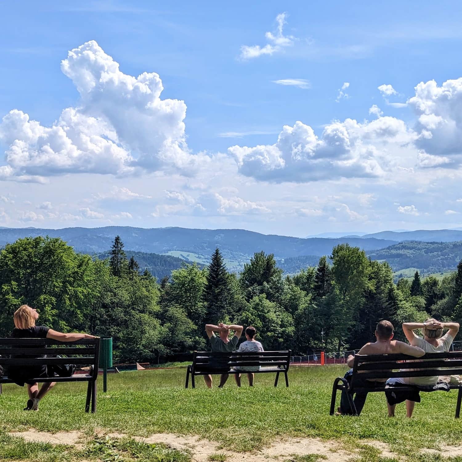
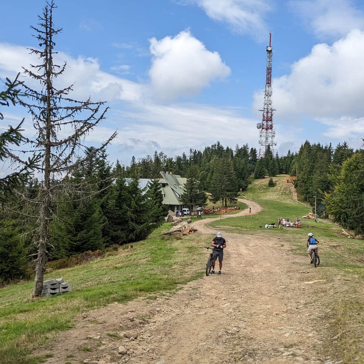
PTTK Shelter on Przehyba
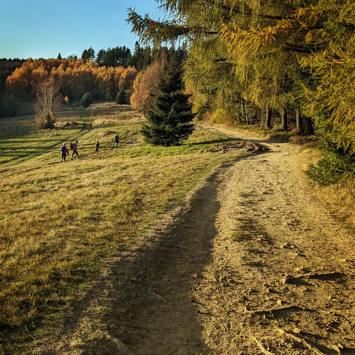
Our hike begins at the PTTK Shelter on Przehyba. First, we need to get there. There are many hiking trails leading to the shelter: from the south (from Szczawnica and Krościenko nad Dunajcem), from the north (from Stary Sącz, Obidza, Jazowsko), or from the east - for example, the blue trail from Rytr. The access road (for cyclists and strollers) leads from the direction of Gabonia and Skrudzina.
More information about the shelter and the trails leading to it:
PTTK shelter in Przehyba - trails, views and attractions
The PTTK shelter in Przehyba is located in the Beskid Sądecki Mountains, in the Radziejowa Range at an altitude of 1,175 m above sea level. A beautiful southwestern panorama, tasty simple dishes and the possibility of overnight stay await us here. ...
Red trail Przehyba - Radziejowa
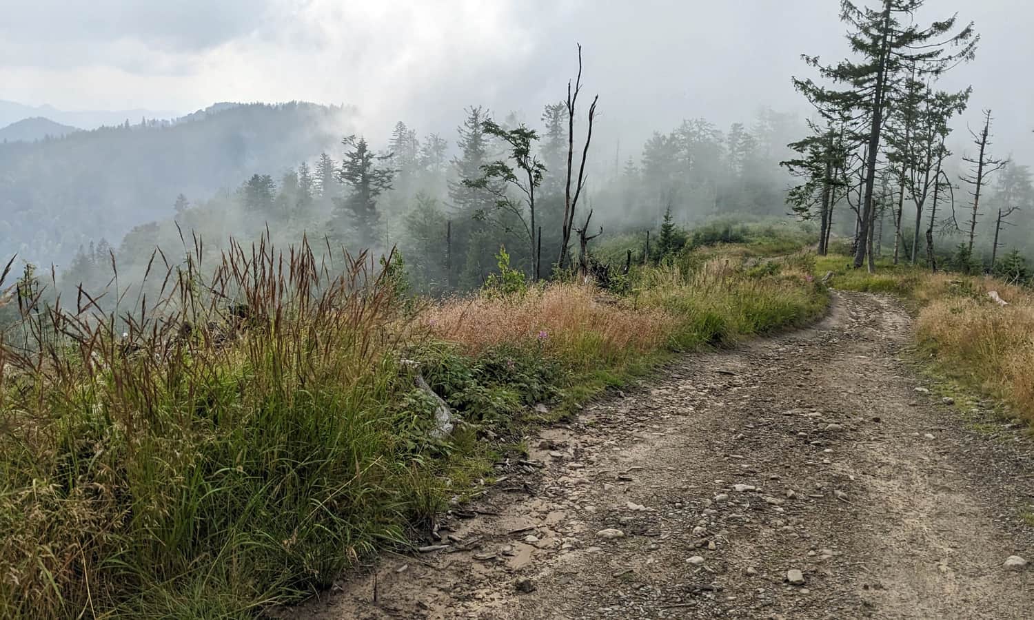
It will take us only about 1.5 hours to reach the highest peak of the Sądecki Beskids from the PTTK Shelter on Przehyba. Importantly, we will be walking on a wide ridge path without significant elevation changes. We will also avoid a very steep ascent to the summit, which is the most challenging part when approaching Radziejowa from the other side: from Rytr, Piwniczna Zdrój, Obidza, or Jaworki.
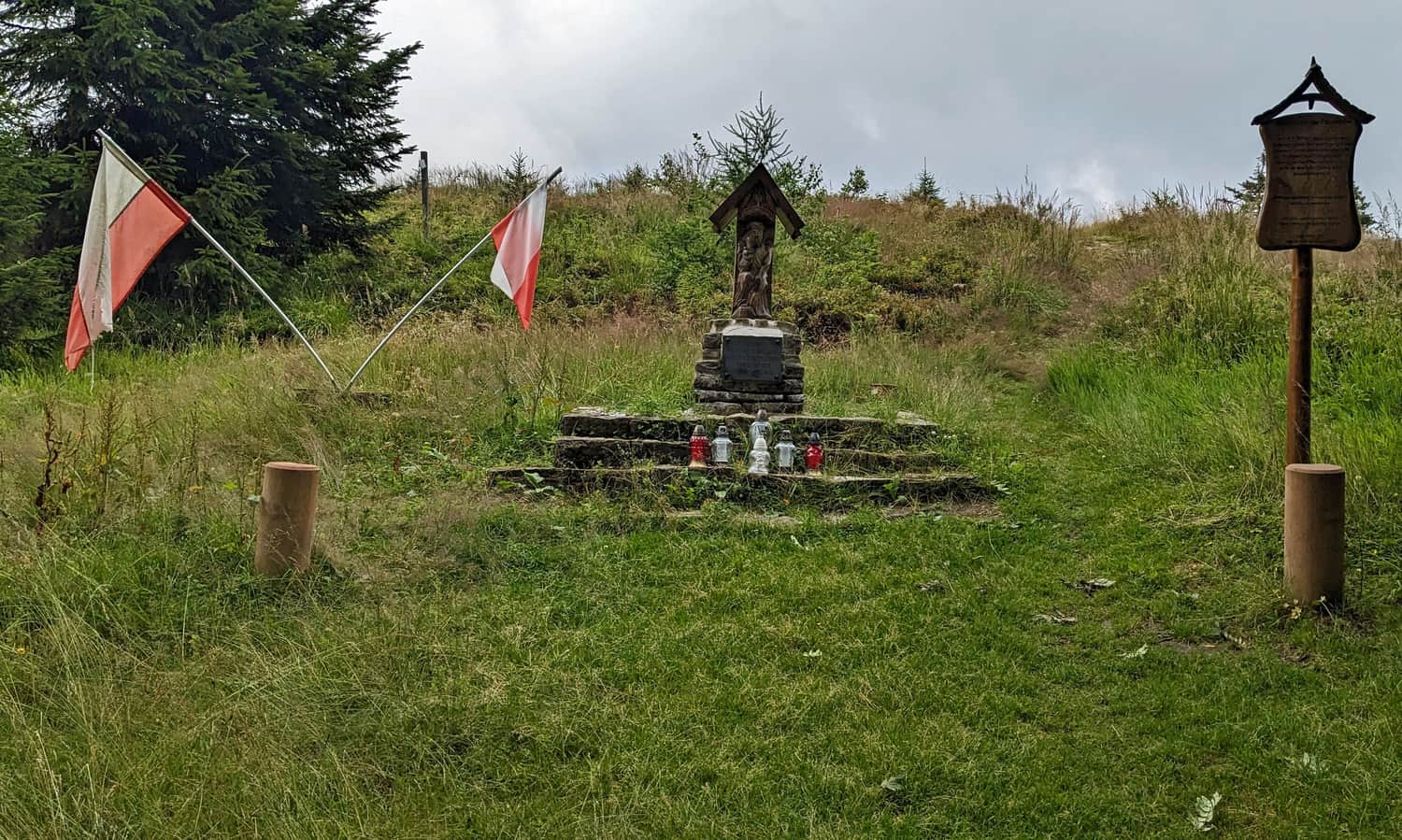
On the way, just after the shelter, we pass a small chapel dedicated to local partisans and mountain rescuers - their patron, St. Lawrence, is hidden... on the other side of the statue!
Przehyba - Złomisty Wierch - Bukowinki
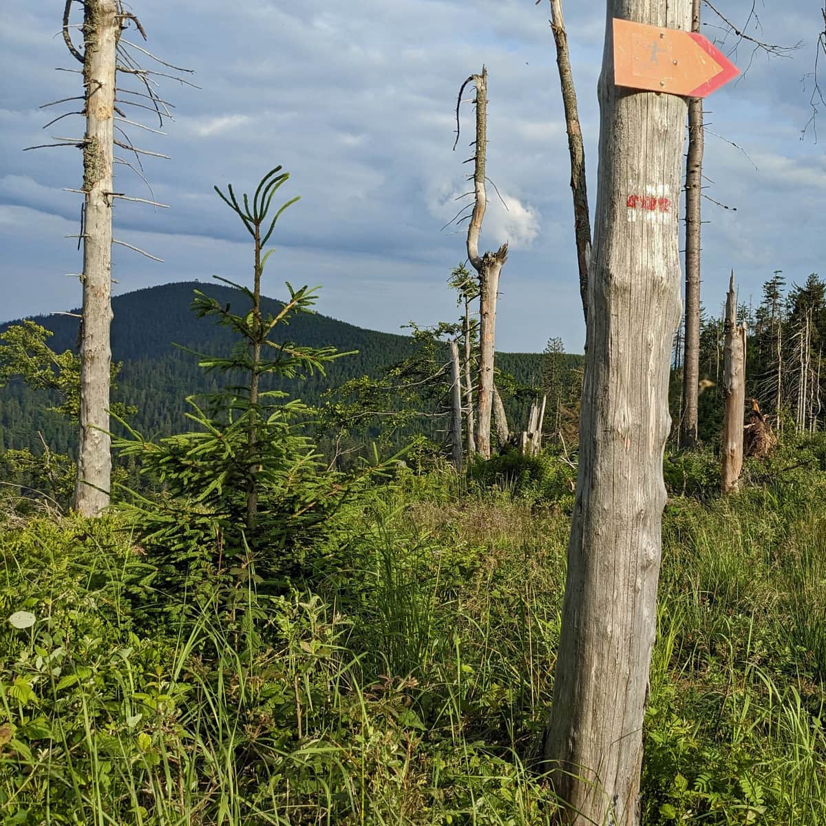
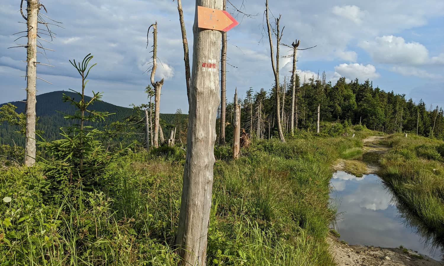
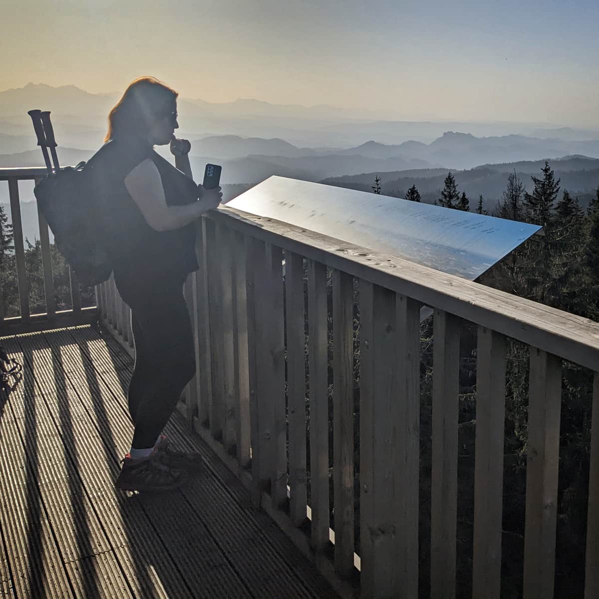
On the way to Radziejowa, we pass the less prominent peaks of Złomisty Wierch. Thanks to windbreaks and dying spruces, we are offered views both to the southwest (Pieniny and Tatras):
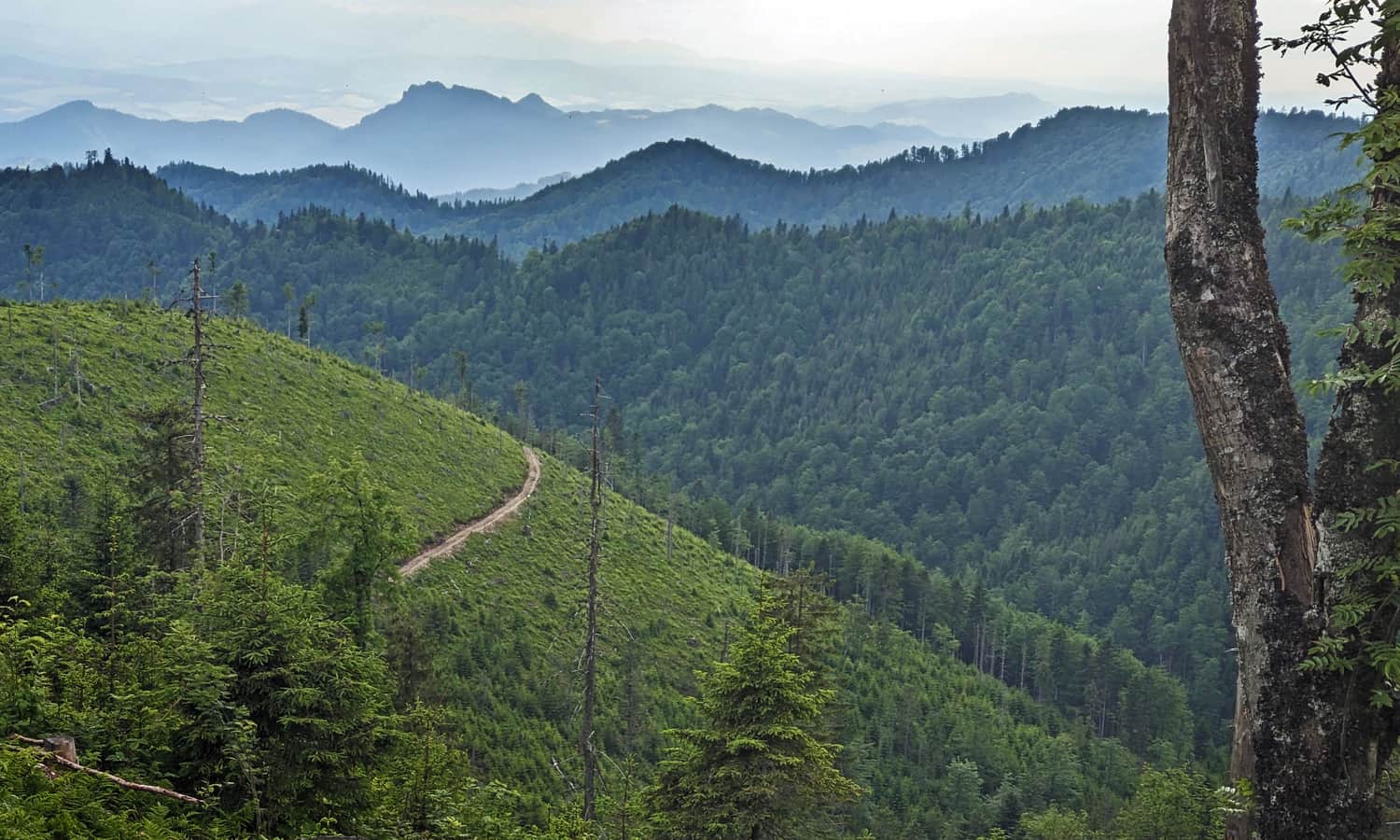
...and to the northeast, including the Poprad Valley and the neighboring range of Jaworzyna Krynicka:
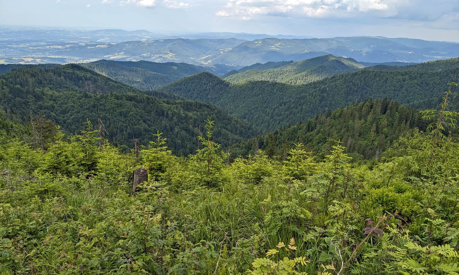
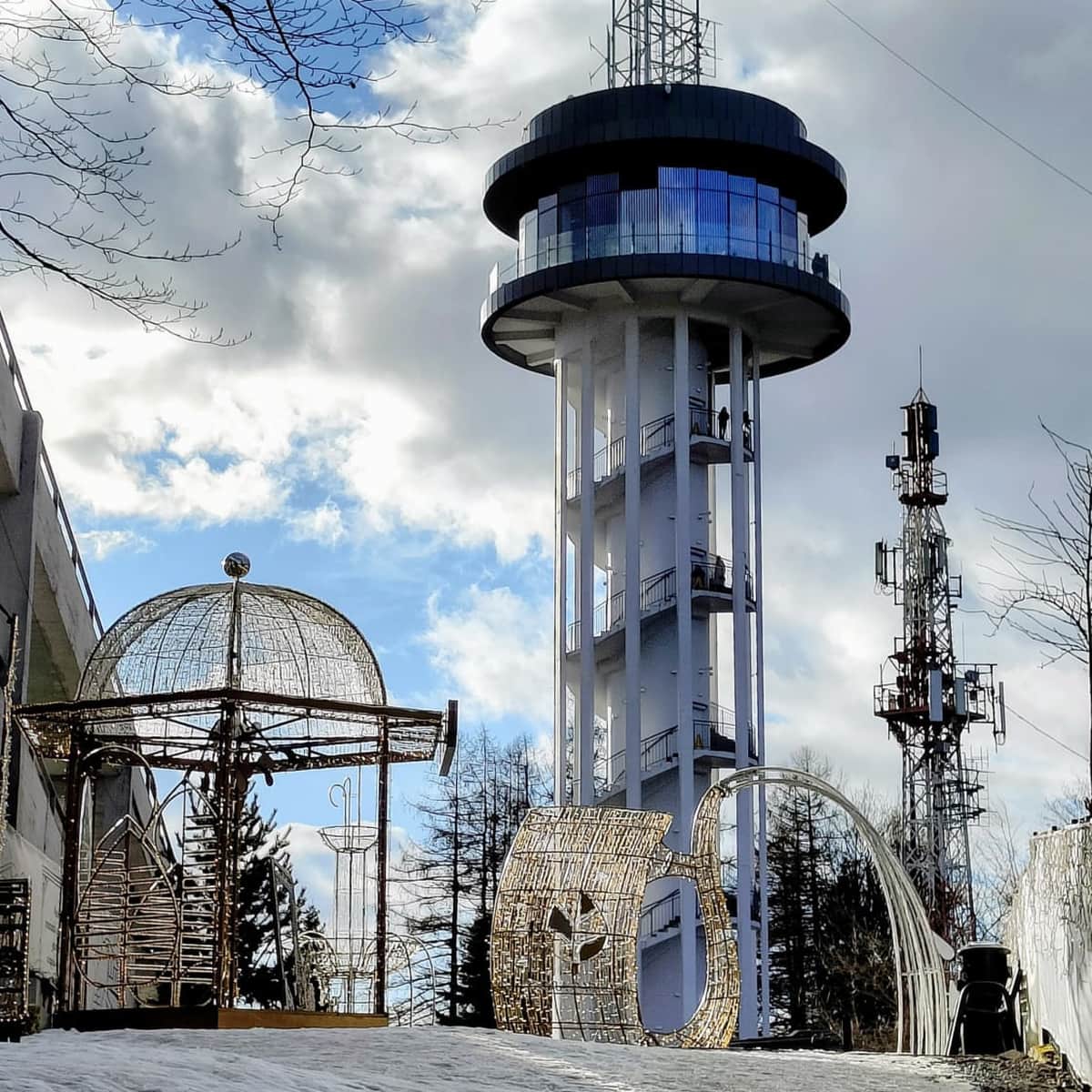
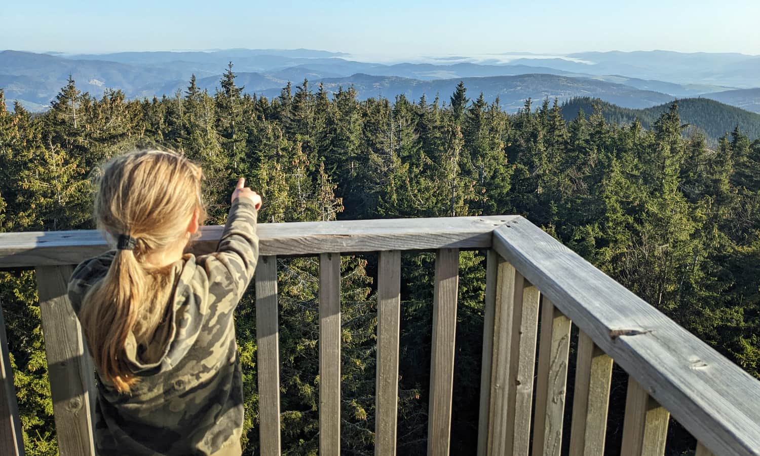
Soon, we will also see the purpose of our hike: the dome-shaped summit of Radziejowa with a visible tower:
Radziejowa, 1266 m above sea level
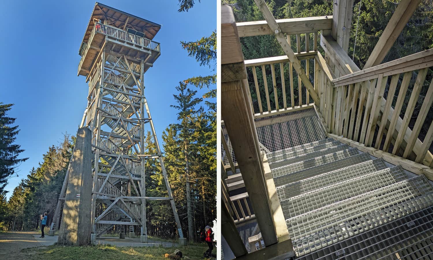
After Złomisty Wierch, we pass the summit of Mała Radziejowa and comfortably reach the summit of Radziejowa and the base of the tower.
Thanks to the observation tower on the forested summit, we can enjoy wide panoramas of the Tatra, Pieniny, Gorce, Sądecki Beskids, Żywiecki Beskids, Wyspowy, and Niski Beskids.
More information about the tower, views, and other routes to the summit of Radziejowa:
Radziejowa - all trails and observation tower
Radziejowa is the highest peak in the Sądecki Beskids (1266 m above sea level), included in the Crown of Polish Mountains and the Crown of the Beskids. Thanks to the new observation tower on the forested summit, we can enjoy a panorama of the Tatras, Pieniny, Gorcys, and the Beskids. ...
PS. The trail from Przehyba to Radziejowa is indeed the shortest and easiest, but it assumes reaching the shelter first. If you want to conquer the highest peak of the Sądecki Beskids in one day, we recommend the route from Obidza:
Medium
From Obidza to Radziejowa Peak


Publish Date:
Last Updated: