Obidza via Biała Woda from Jaworki
Nearby: Szczawnica| Distance | 7.3km |
|---|---|
| Time | 2h 53min |
| Ascents | 429m |
| Descents | 86m |
wb_sunny Route in the sun
restaurant Restaurant or bar nearby
directions_car Access by car
directions_bus Can be reached by bus
warning No dogs allowed
Obidza Pass and the vast meadow of Litawcowa are beautiful scenic spots that can be reached by a convenient border blue trail.
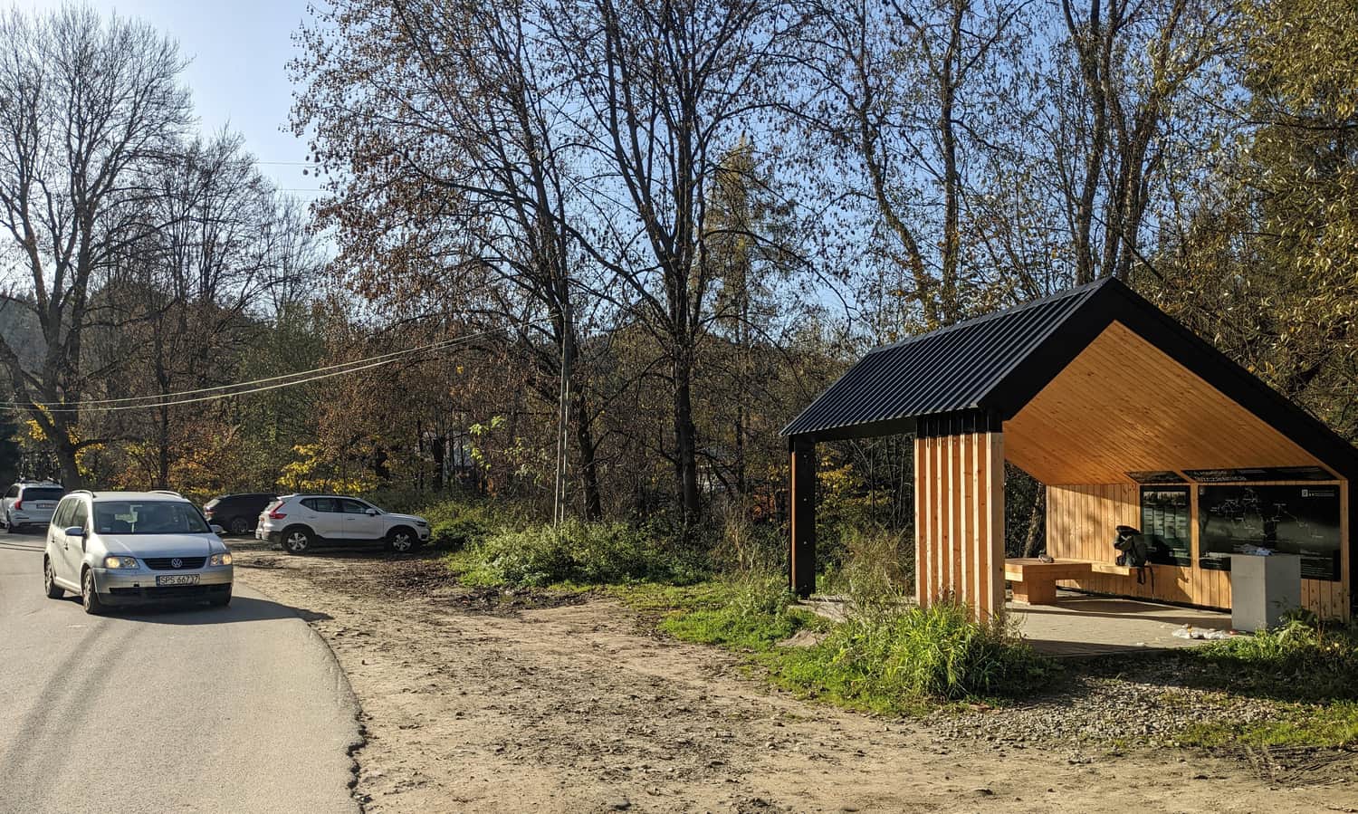
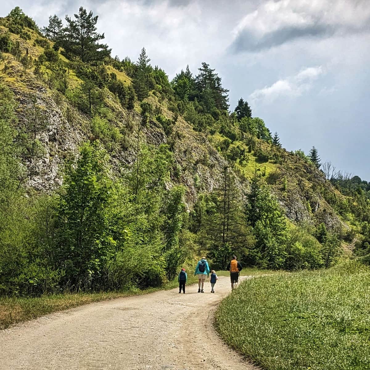
Starting point in Jaworki
To reach Jaworki, you can take a bus from Szczawnica or drive/ride your own car/bicycle. There is a convenient paid parking lot at the end of the road, right next to the no-entry sign. You can also leave your car earlier at a free parking lot, for example here (marked on the route map):
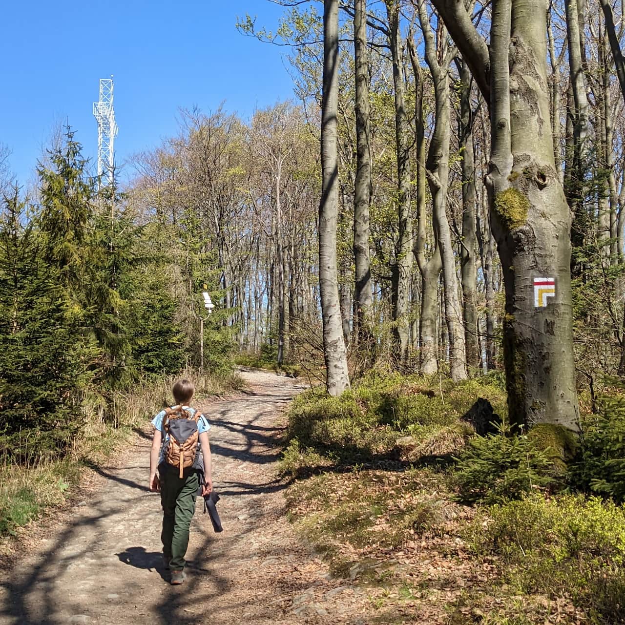
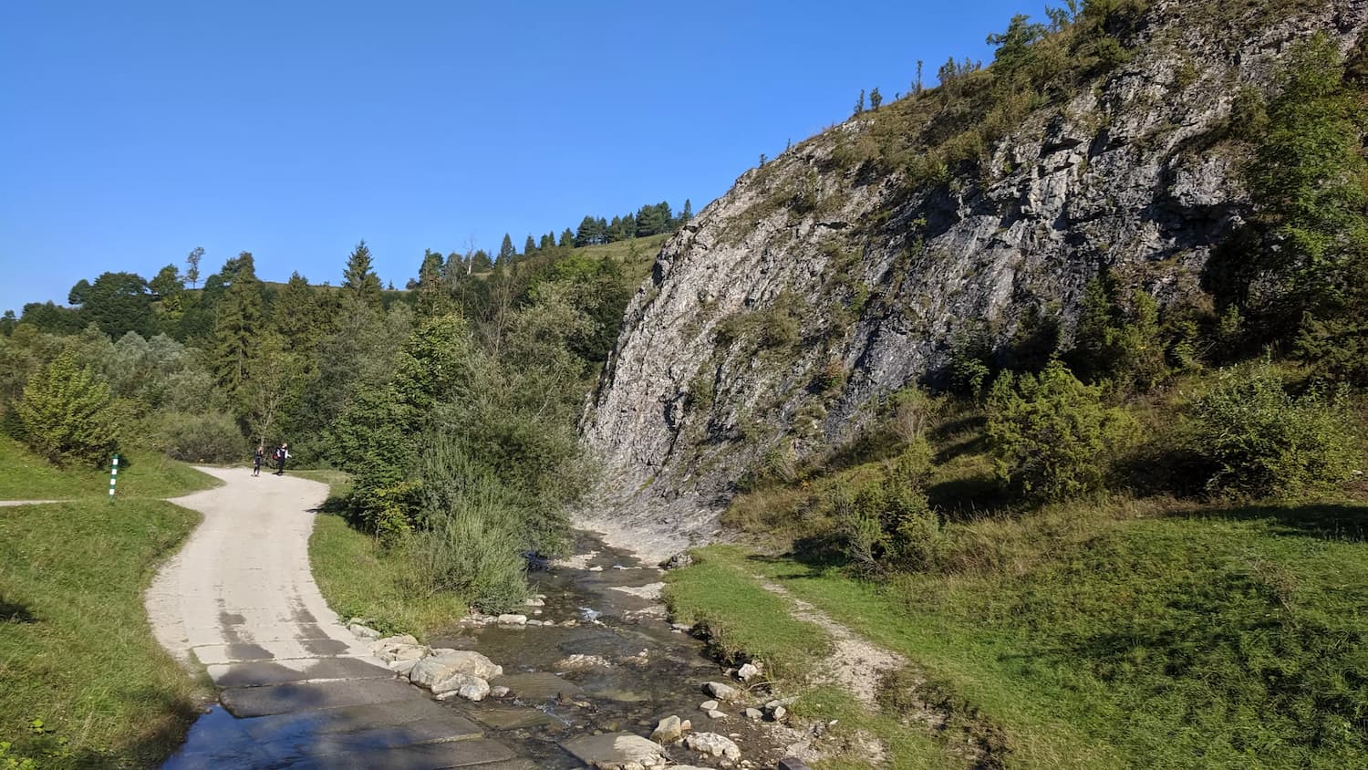
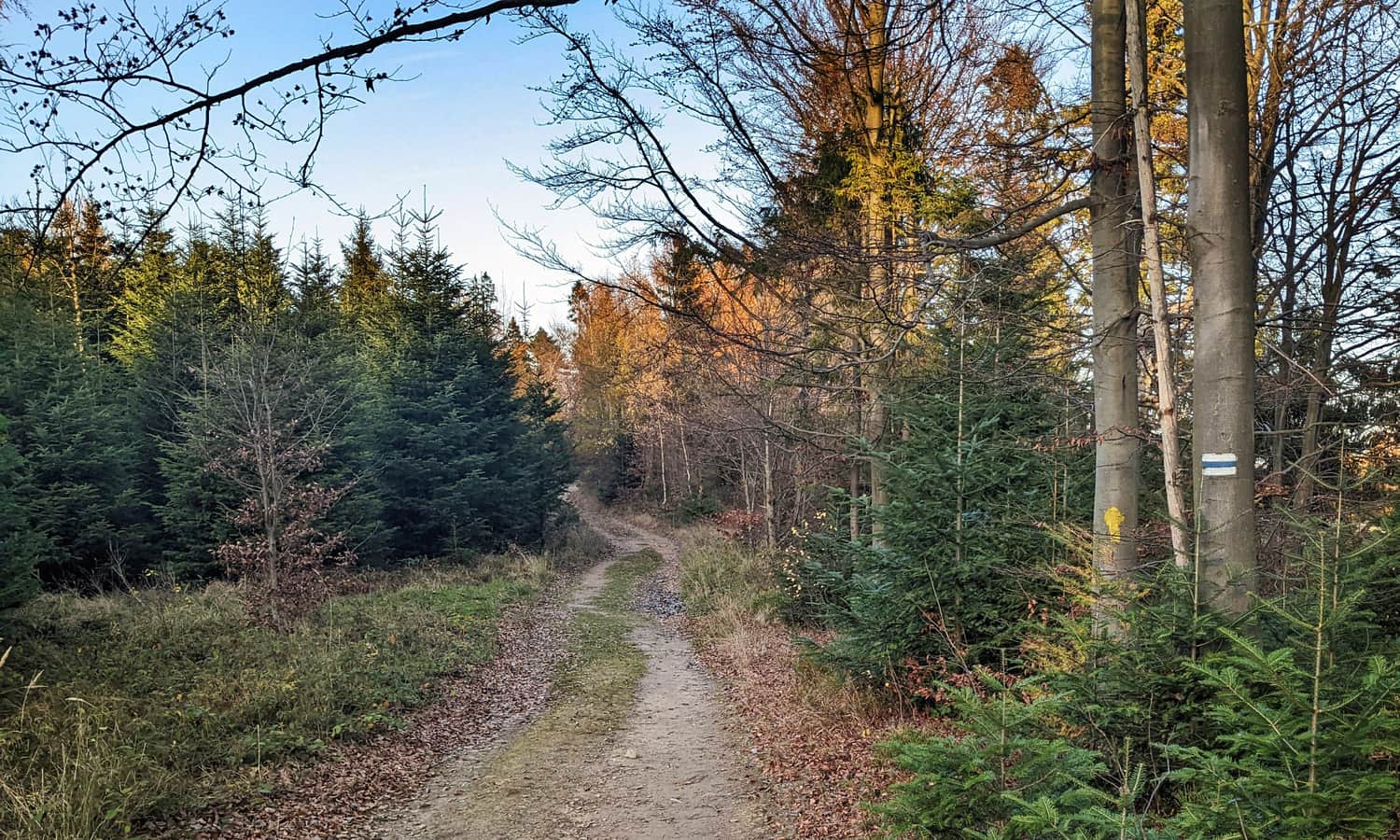
Yellow trail through Biała Woda Reserve
The first stage of our trip is the yellow trail through the picturesque Biała Woda Reserve. Initially, the road will be asphalted:
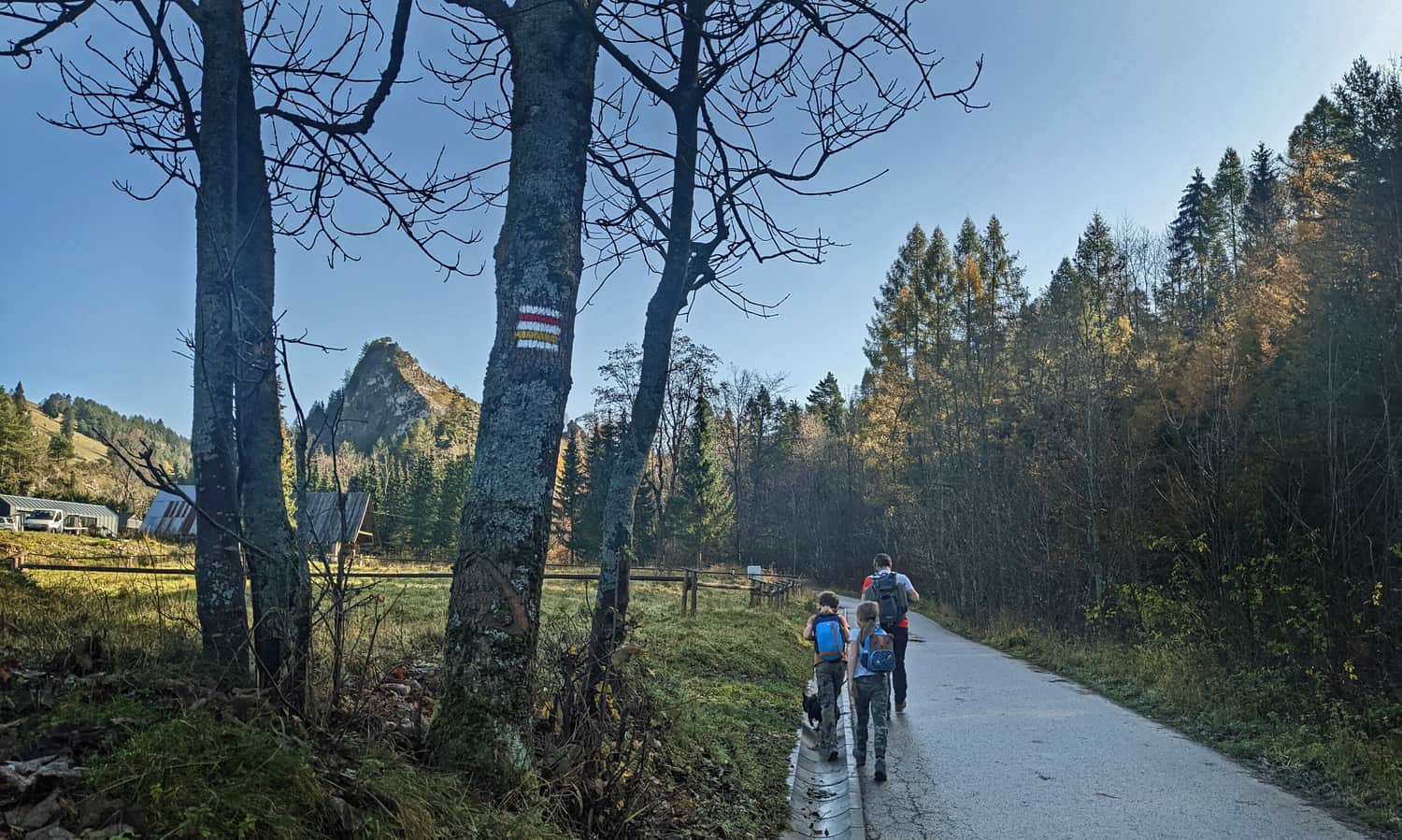
...then gravel, but still wide, comfortable, sunny, and offering beautiful views of stunning rocks. Along the way, there are several bridges (for those interested, the option to cross the water), benches, tables, and in the season, there are also huts where you can buy cheese for the journey.
More about the route through Biała Woda Reserve:
Easy
Biała Woda Pieniny Nature Reserve

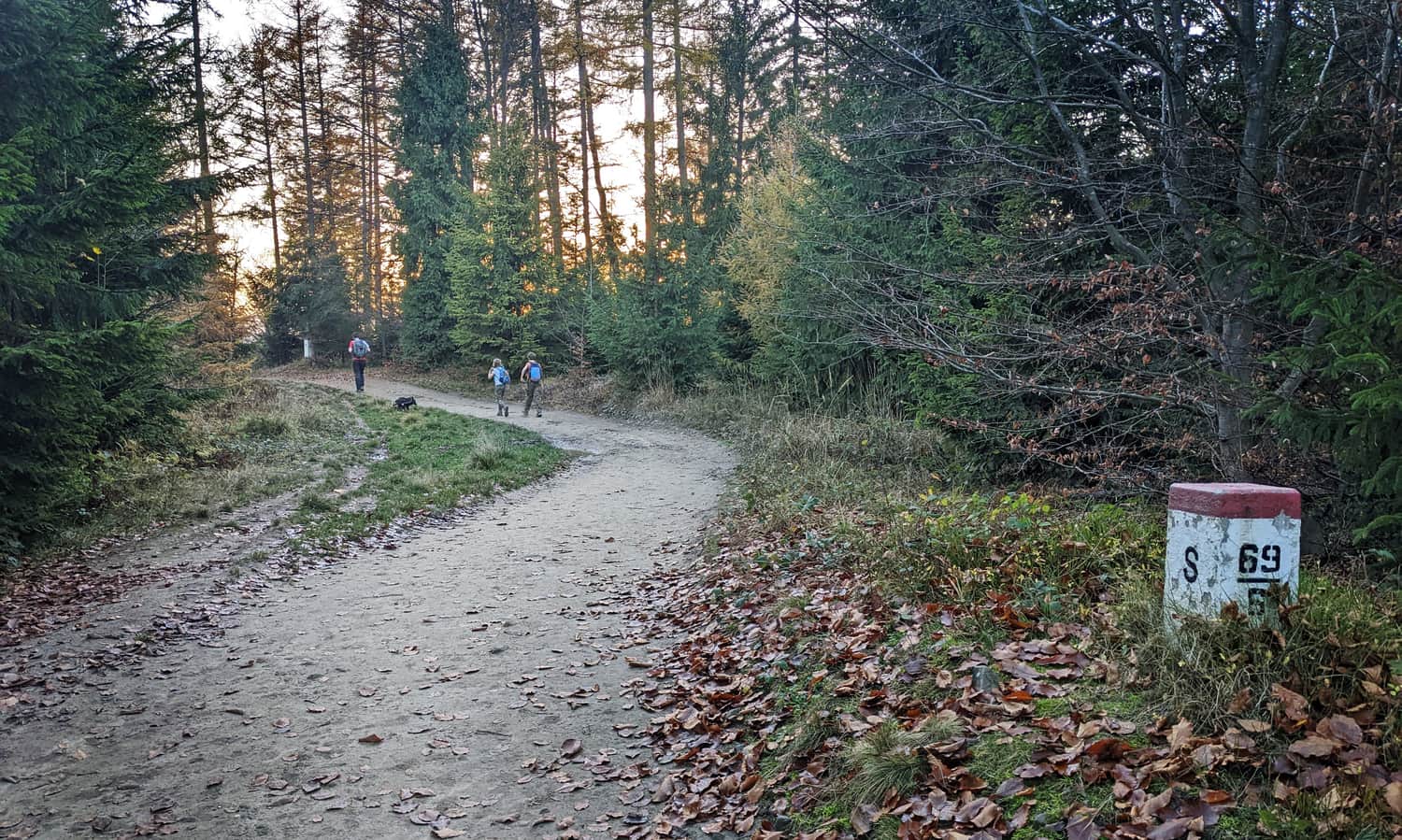
From Biała Woda Reserve to Rozdziela Pass
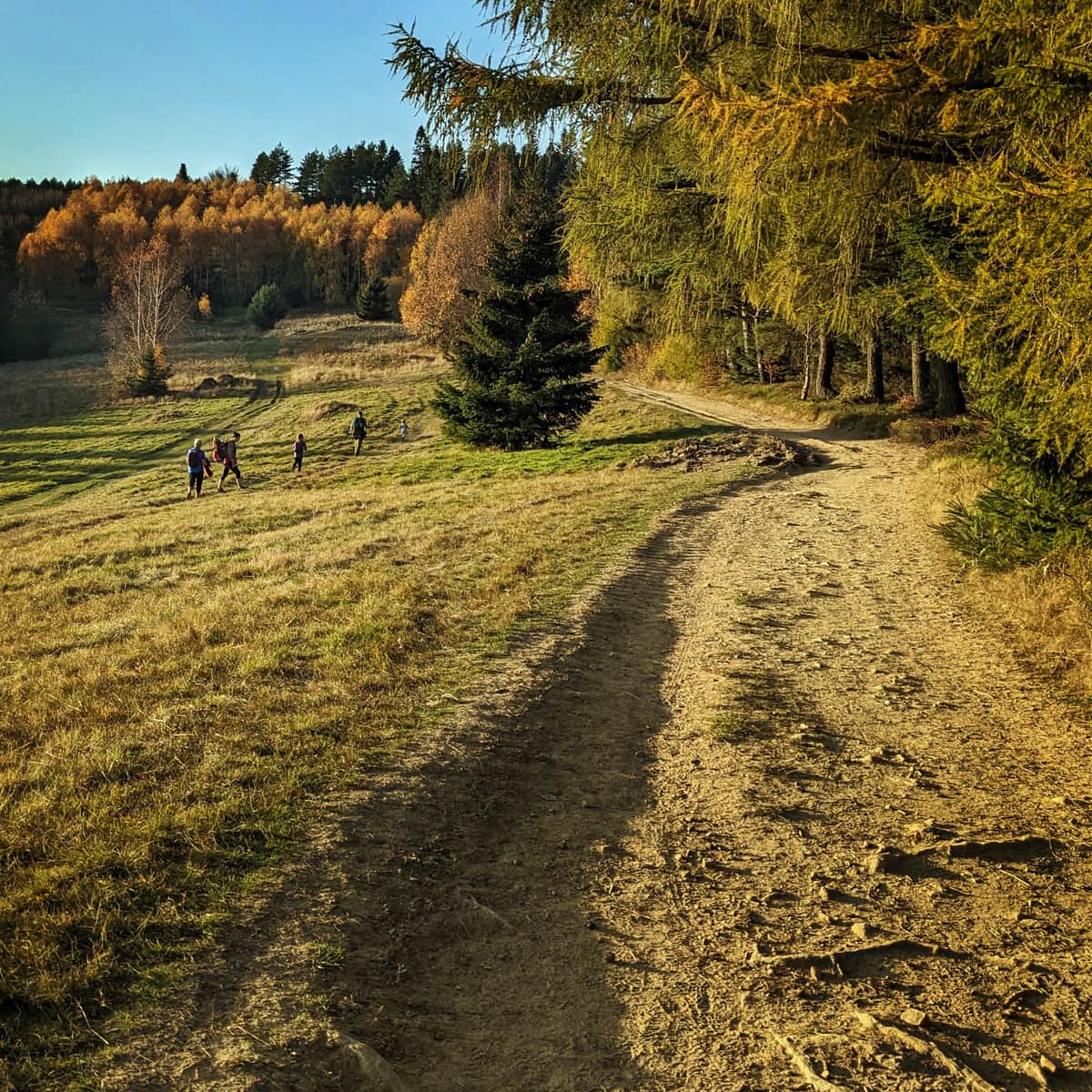
After about an hour of pleasant walking, a moment of climbing awaits us. The yellow trail climbs quite steeply to the meadows above the Biała Woda Reserve. This section can be tiring, but look back with each step, the views become more and more beautiful!
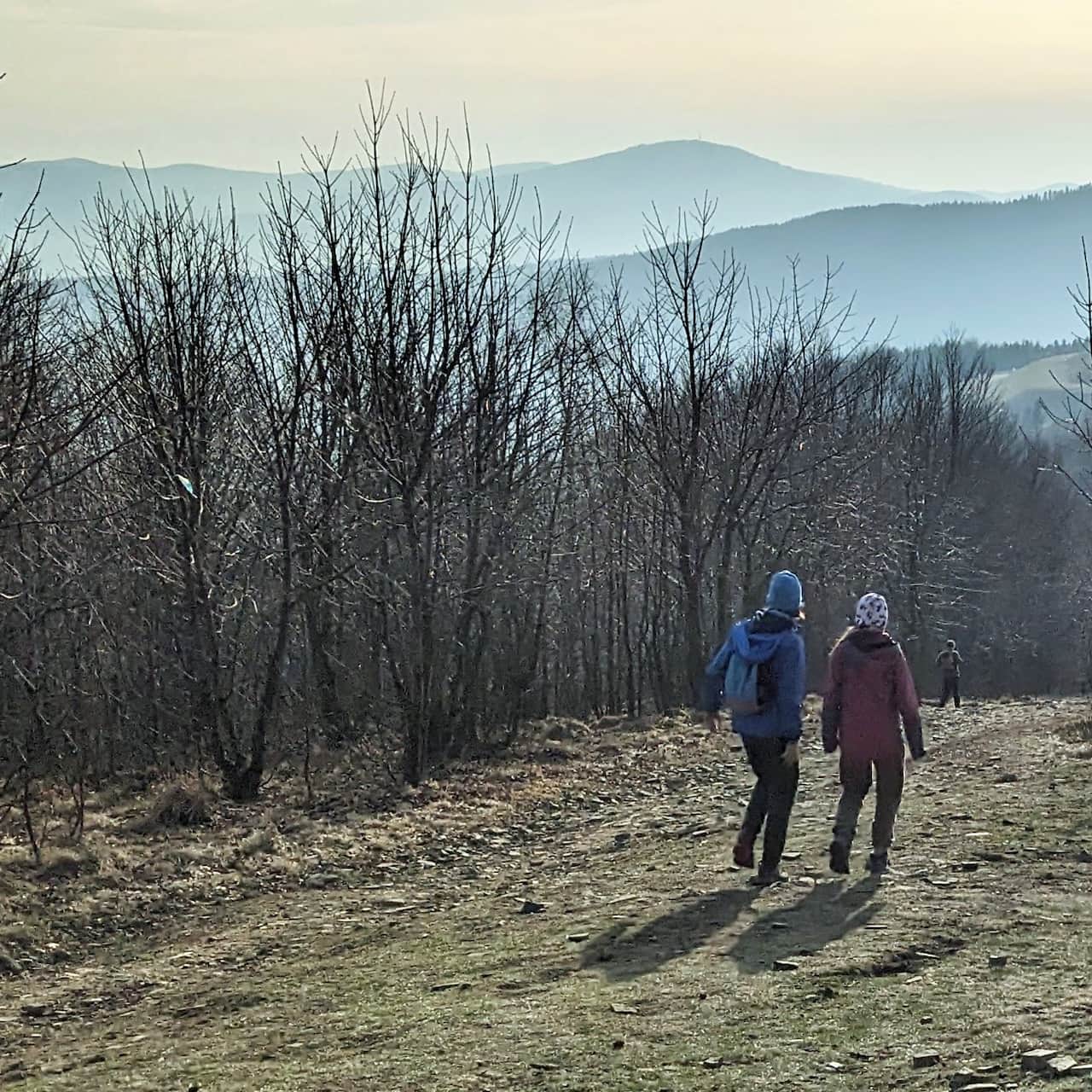
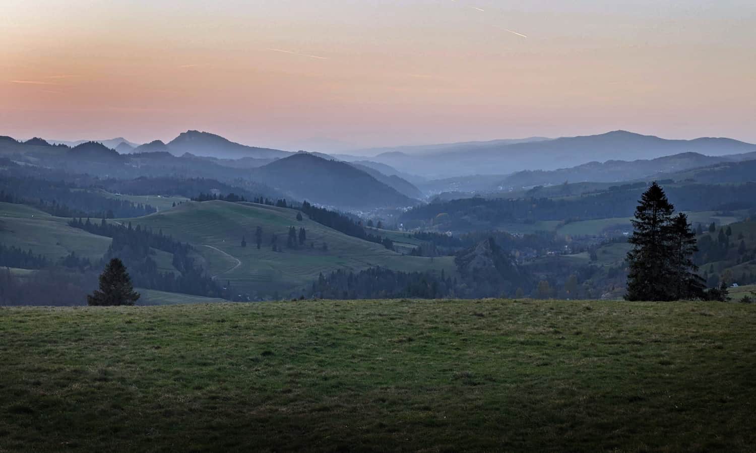
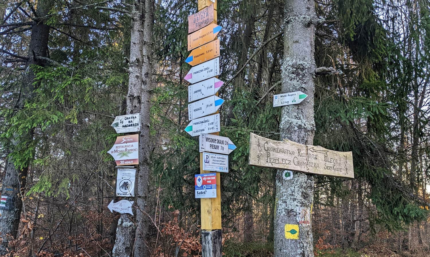
Rozdziela Pass - blue trail
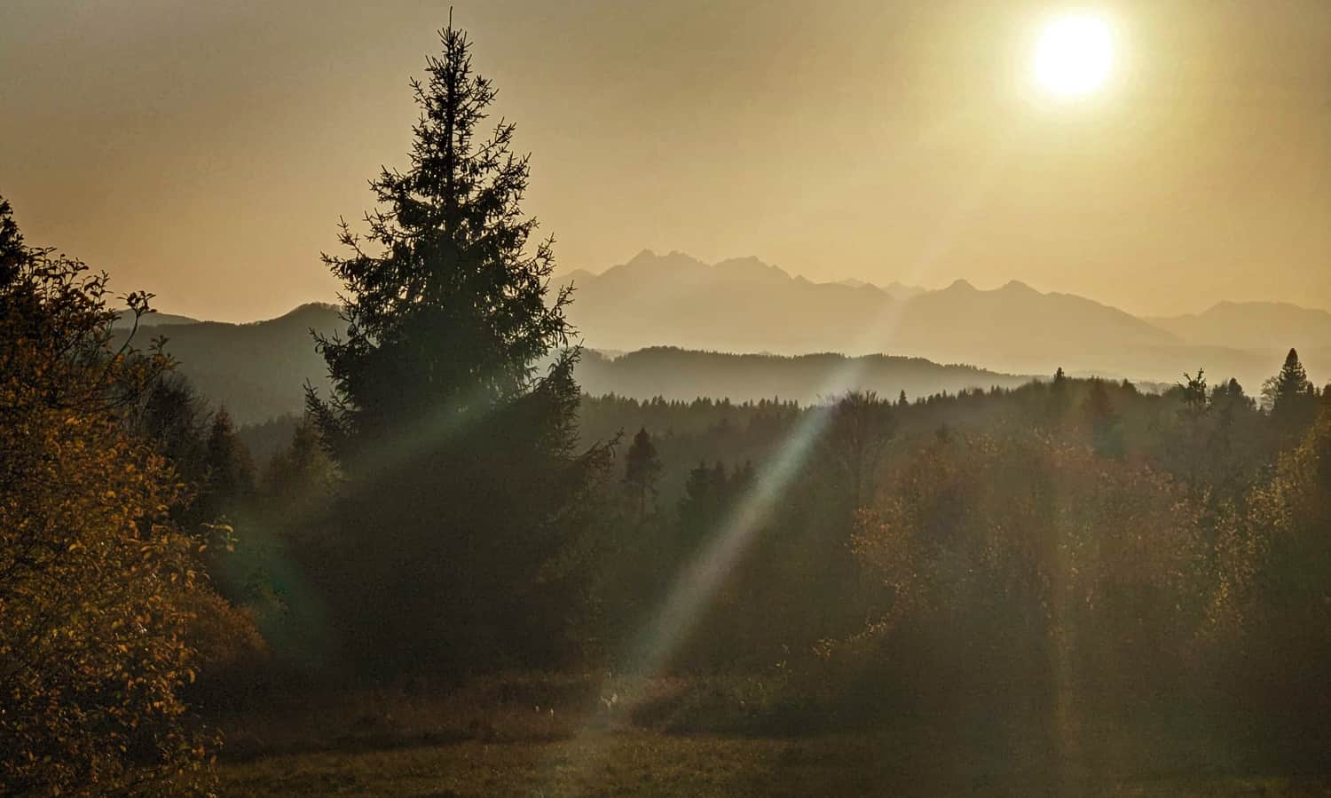
At the top of the meadow, it is worth stopping not only to rest after the climb but above all to admire the extensive panorama: from Wysoka, through Trzy Korony, Gorce and Lubań to Radziejowa. In the distance, Babia Góra can be seen.
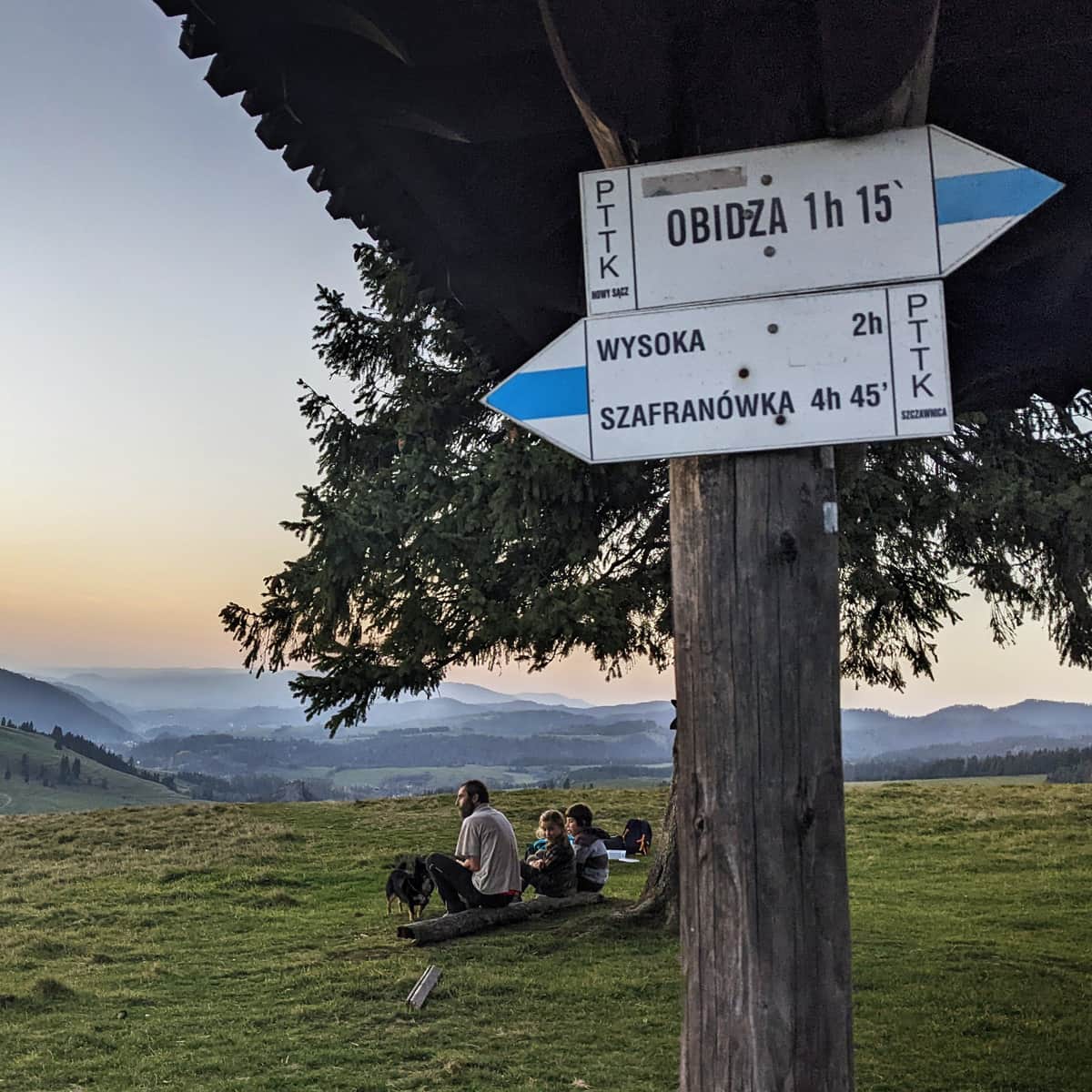
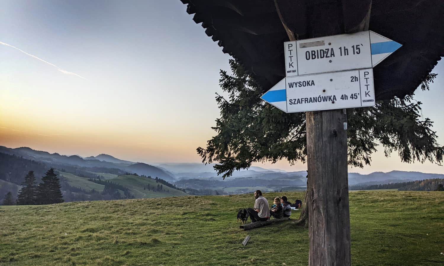
Here is a photo of the view from Rozdziela Pass just after sunset, but it is beautiful here at any time of year and day!
Blue Trail to Obidza
At Rozdziela Pass, we have the choice of taking the border blue trail to Wysoka (to the right, south) or to the left, north towards Obidza.
The road to Obidza from Rozdziela Pass is a pleasant forest walk. We walk along the ridge, sometimes slightly uphill, sometimes downhill, or completely flat. The forest provides shade, and small openings towards the Slovak side add variety to the walk with scenic views of forested hills.
Carpathian Highway Piwniczna - Szczawnica?
Did you know that after World War II, the... Carpathian Highway from Piwniczna through Obidza and Jaworki to Szczawnica was planned to be built along this gentle ridge?
It was described poetically as follows: This amazing tourist route will pass over the valleys, hang above them with viaducts, connect cliffs, ravines, streams, jump onto hills, encircle them with serpentine roads (source: Wikipedia https://pl.wikipedia.org/wiki/Obidza_(przysi%C3%B3%C5%82ek)
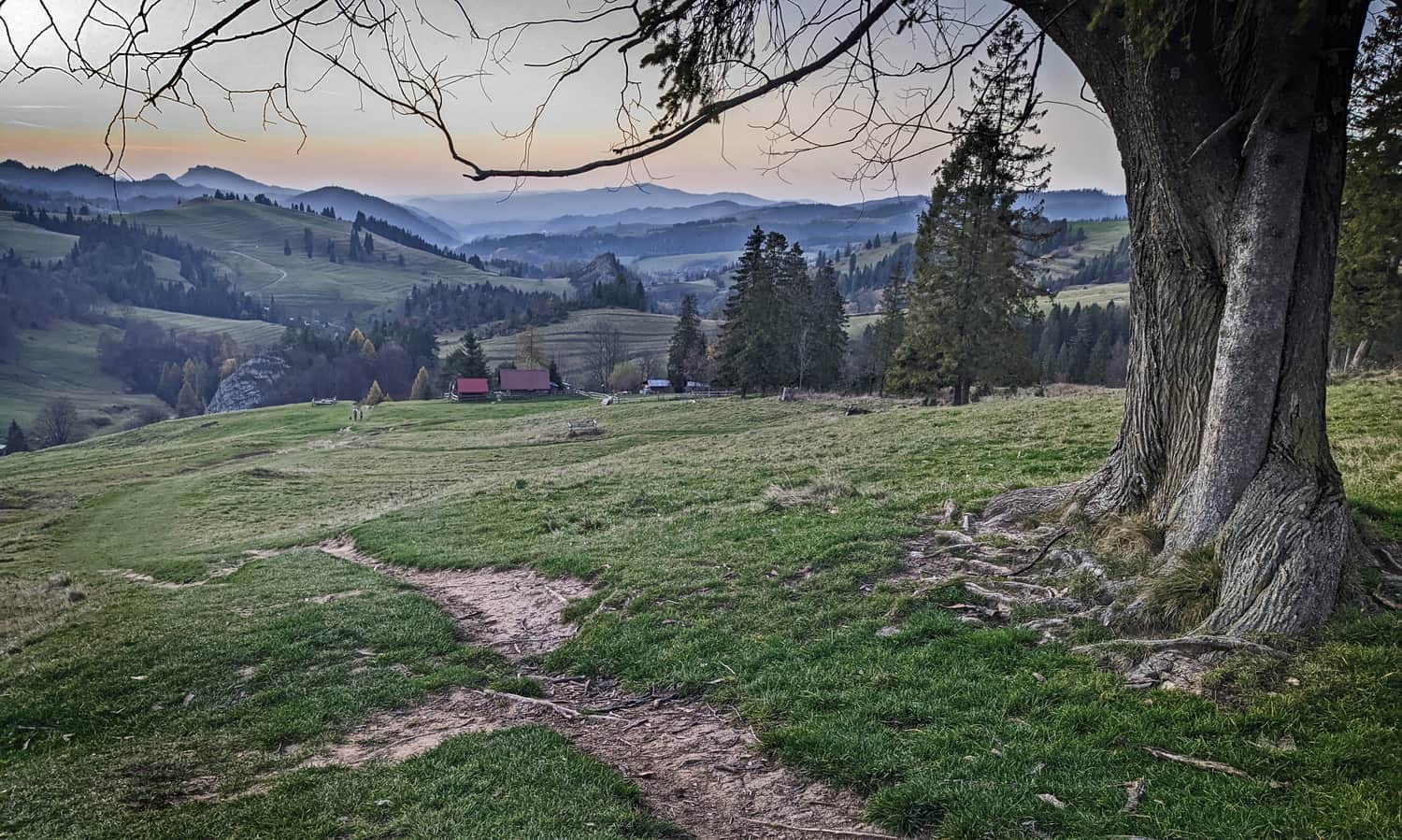
Obidza Pass and Litawcowa Meadow
After about 1 hour of walking through the forest, we reach Obidza Pass (931 m above sea level). Here, we find not only this sign and a trail intersection:
Just a few steps away, we come across a beautiful, expansive meadow with a view of the Tatra Mountains!
The only thing that can spoil our enjoyment of the views is the often encountered noisy quad bikers and motorcyclists. Years ago, there was a Lemko village called Biała Woda here.
If we feel like having a snack, we can go down towards the Piwniczna Zdrój - Obidza hamlet. There are several seasonal gastronomic points and a mountain hut in Obidza (restaurant, accommodation). From this eastern side, views also open up: to the Beskid Sądecki Mountains and the Poprad Valley.
From Obidza to Radziejowa?
From Obidza, we can return the same way to Jaworki, make a loop with the red trail through Ruski Wierch (two other scenic meadows await along the way!), or even head towards Radziejowa - the highest peak of the Beskid Sądecki Mountains:
Medium
From Obidza to Radziejowa Peak


Publish Date:
Last Updated:
More in the Region Beskidy (Beskidy)