Shortest trail to Radziejowa from Rytra
Nearby: Nowy Sącz| Distance | 8.8km |
|---|---|
| Time | 4h 37min |
| Ascents | 971m |
| Descents | 164m |
beach_access Route in the shade
directions_car Access by car
directions_bus Can be reached by bus
train Access by train possible
The yellow trail from Dolina Roztoki Wielka, through Jaworzyna, to Radziejowa (1266 m above sea level) is one of the shortest routes to the highest peak of the Beskid Sądecki mountains. At the destination, there is an observation tower and breathtaking panoramas on all four sides of the world!
Start of the yellow trail to Radziejowa in Rytra
The yellow trail starts in Dolina Roztoki Wielka, together with the Rogasiowy Trail, after the ski station and ABlandia rope park. There is a large, free parking lot for those arriving by car. If you arrived in Rytra by train or bus, you will need to walk from the center along the blue trail (approximately 2.5 km on an asphalt road).
Dolina Roztoki Wielka - Kornytowa
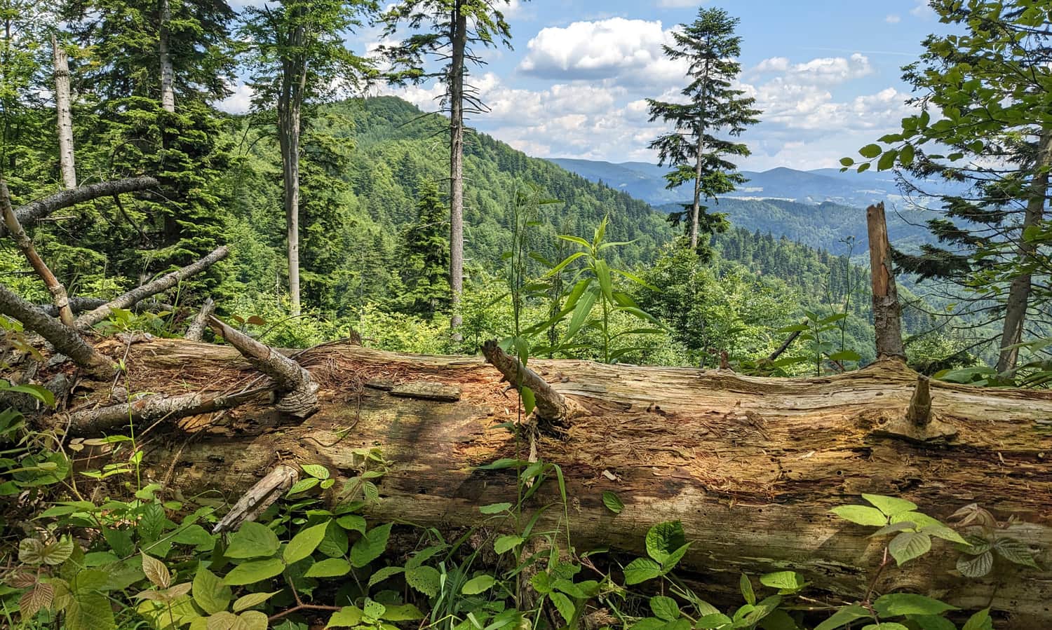
The first, most difficult stage of the climb will take about 2 hours. The yellow trail ascends through the forest on the left side of the Roztoka Wielka stream.
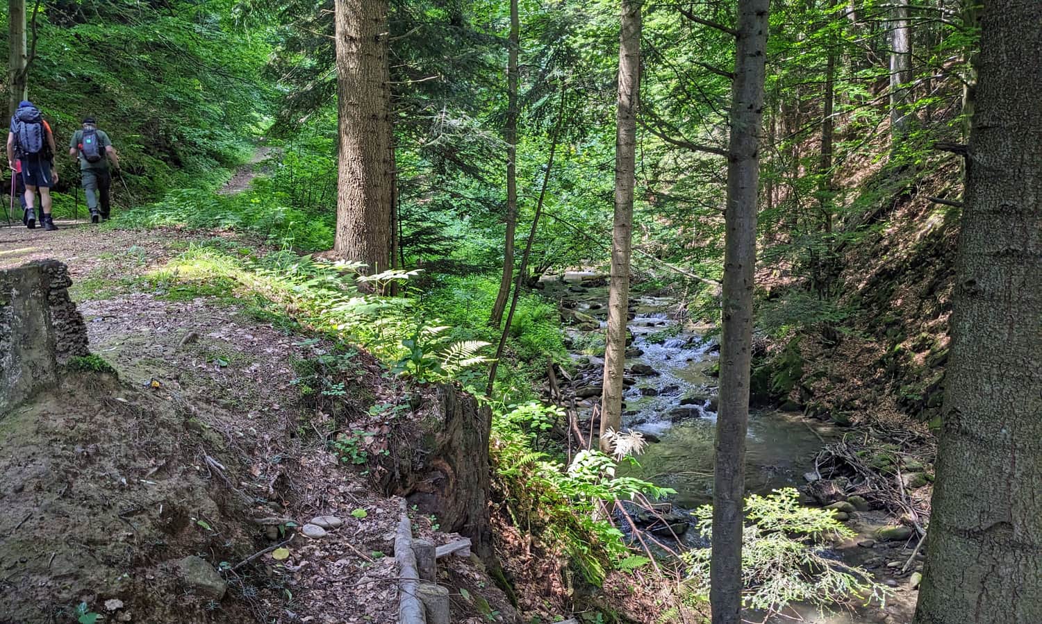
Initially, it is quite peaceful, going up the valley, but then it starts to climb steeply towards the slopes of Jaworzyna.
The first views await us at the so-called Rozdroże Mićkowskie, below the summit of Kornytowa. From here, we can see the Niemcowa and Kordowiec ranges branching off from the main ridge - they are separated from us by the deep valley of Roztoka Mała. Behind them, in the background, is the Jaworzyna Krynicka range.
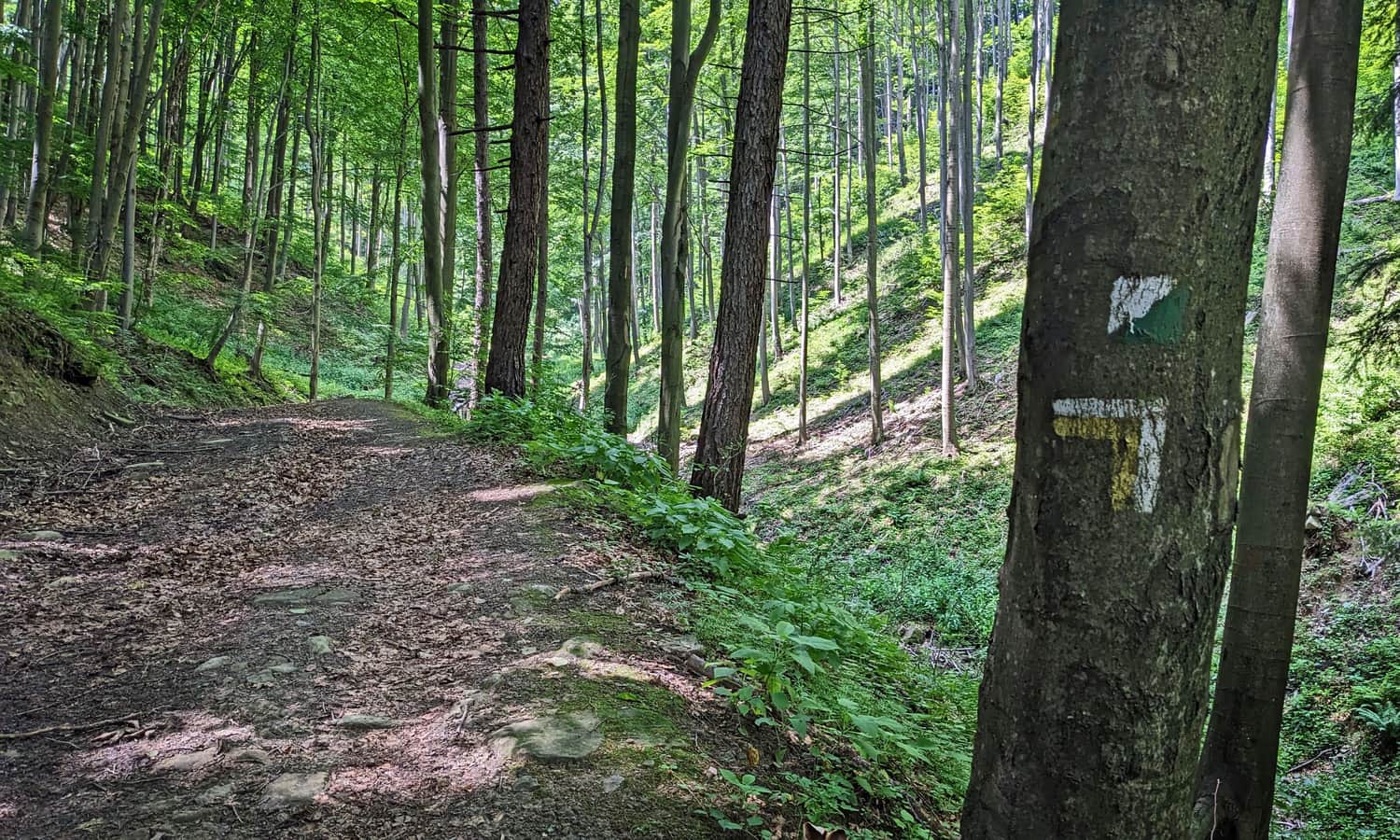
Kornytowa - Przełęcz Żłobki
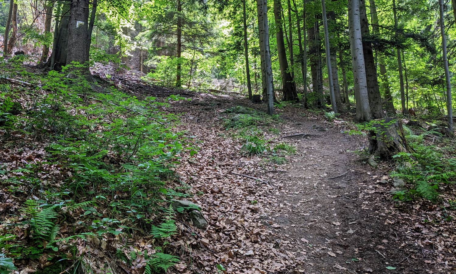
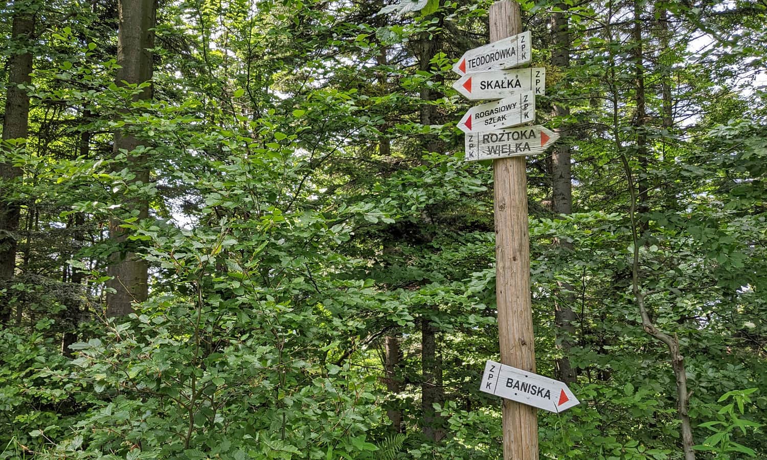
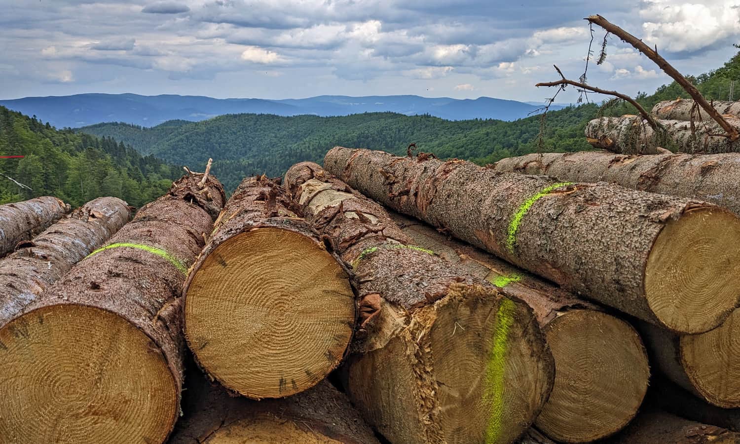
From Kornytowa, it will take about 1.5 hours to reach Przełęcz Żłobki below Radziejowa. The tranquil path traverses the forested slopes of Jaworzyny, passes by the Skałka clearing, and then joins a comfortable forest "highway" - the slopes of Roztoka Ryterska.
Soon, the wide road will lead us to the red trail from Niemcowa, and shortly after that, to Przełęcz Żłobki below Radziejowa (1106 m above sea level).
Przełęcz Żłobki - Radziejowa
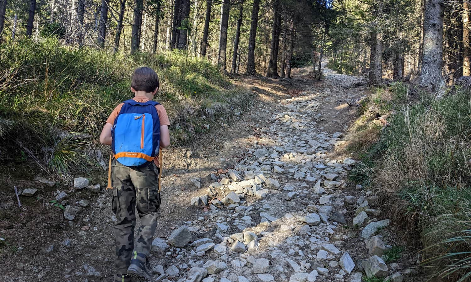
After Przełęcz Żłobki (1106 m above sea level), a short but very steep and rocky ascent to the summit of Radziejowa awaits us: over a distance of 800 m, we climb 160 m uphill...
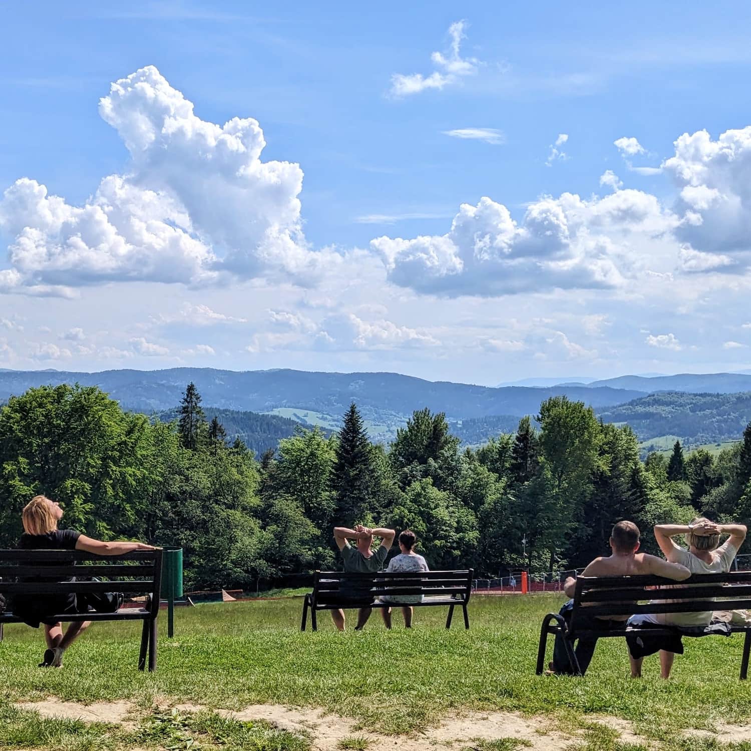
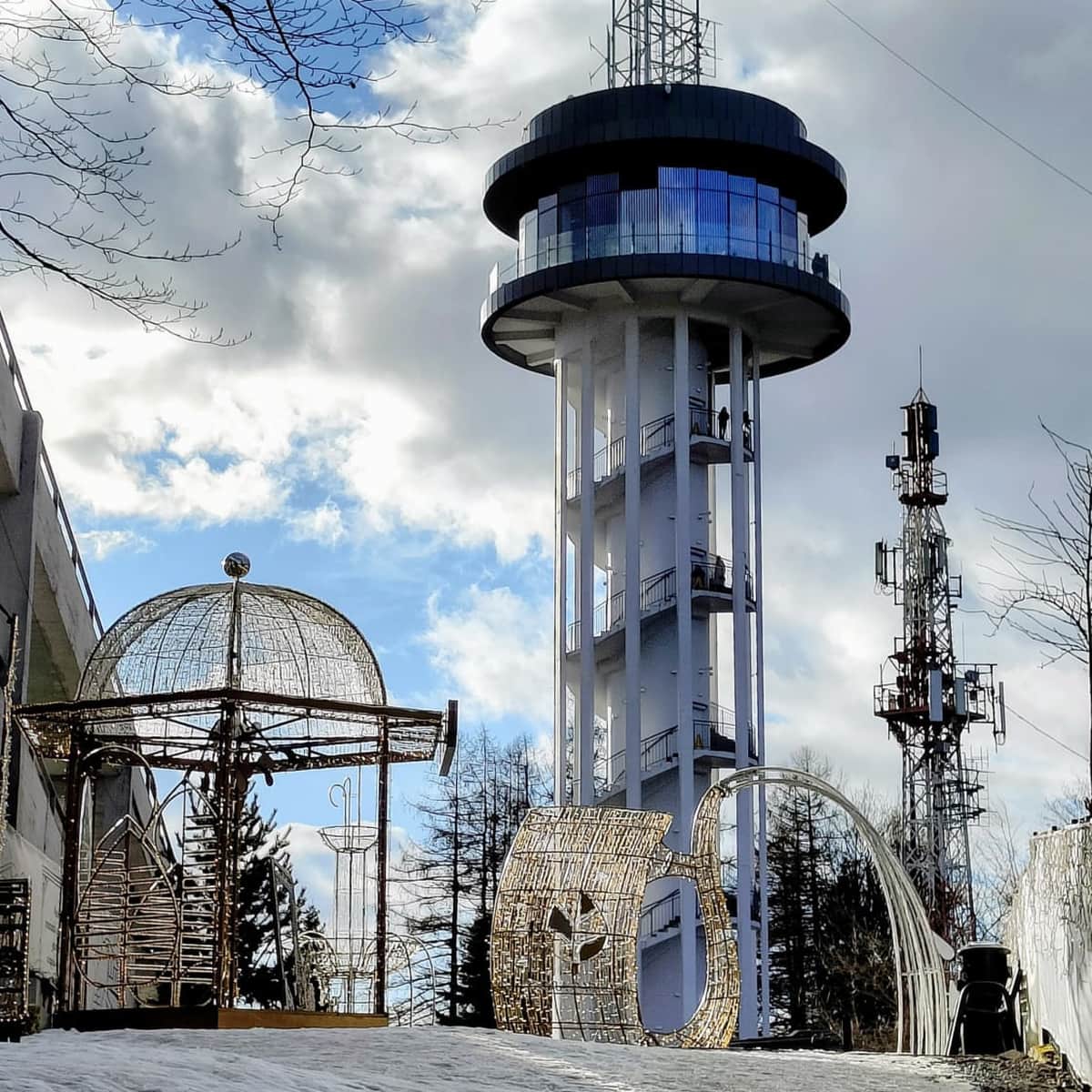
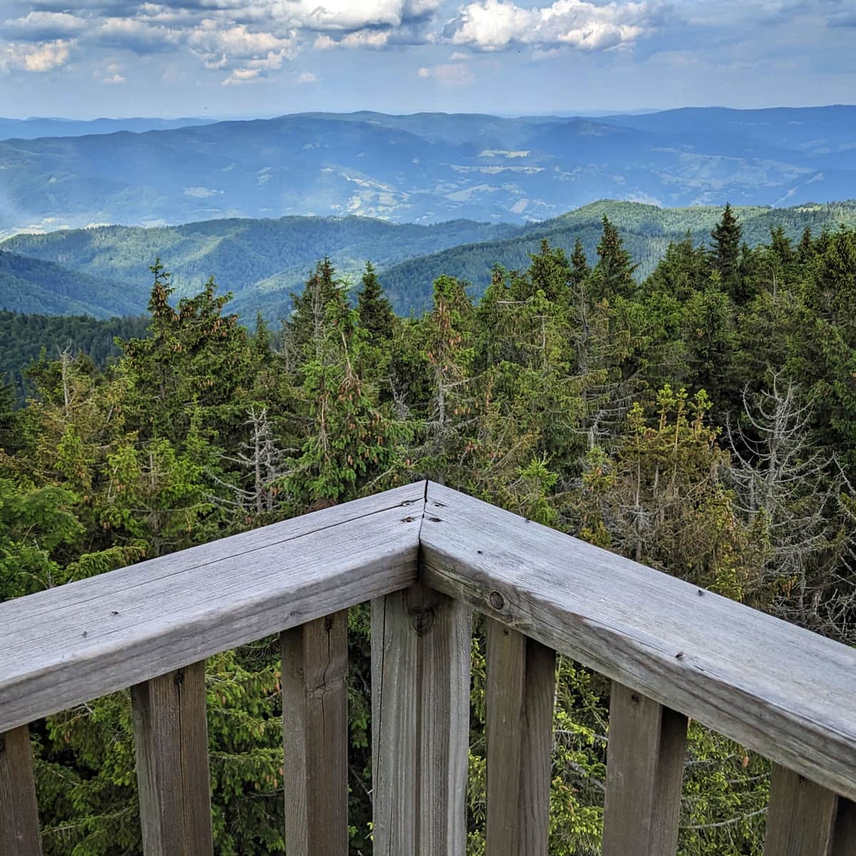
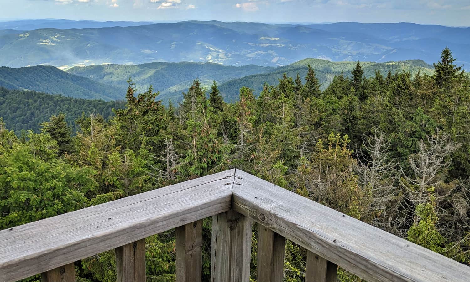
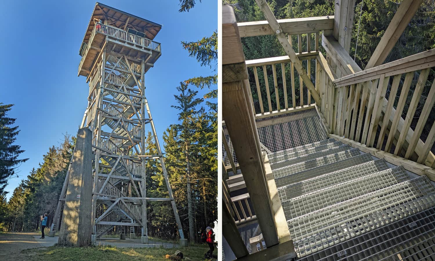
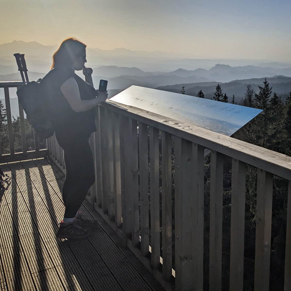
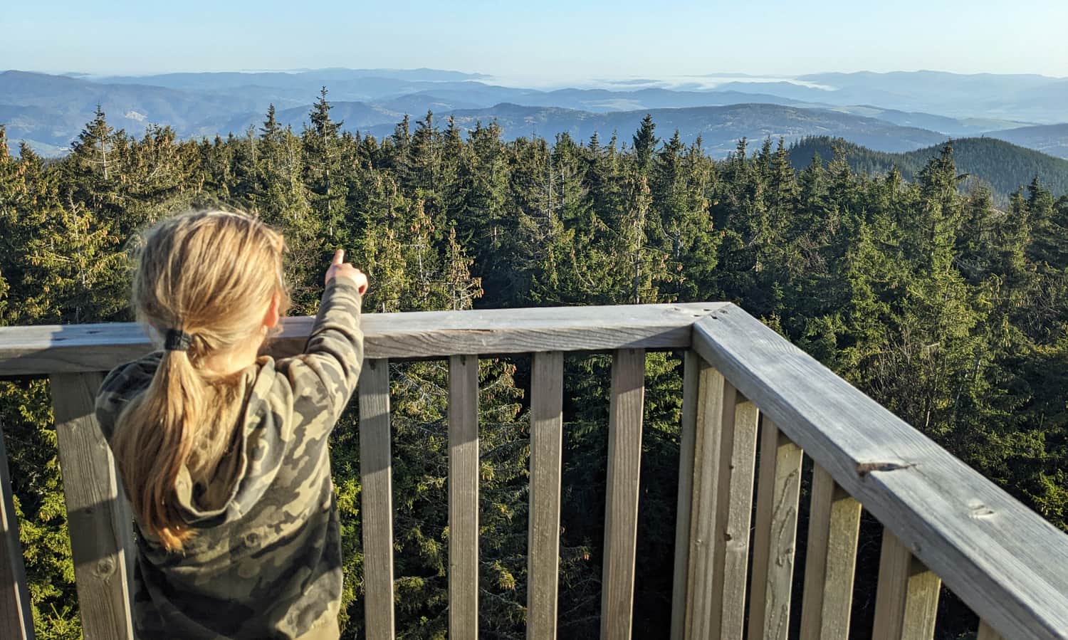
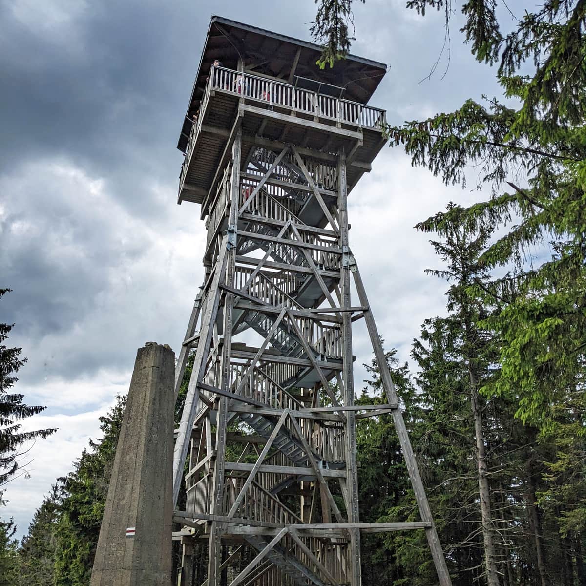
Radziejowa, 1266 m above sea level - observation tower
On the forested highest peak of the Beskid Sądecki mountains, there is a stone obelisk with a souvenir stamp box, but above all, a new observation tower awaits us, from the terrace of which we can enjoy beautiful views on all four sides of the world!
More about the summit and views from the tower:
Radziejowa - all trails and observation tower
Radziejowa is the highest peak in the Sądecki Beskids (1266 m above sea level), included in the Crown of Polish Mountains and the Crown of the Beskids. Thanks to the new observation tower on the forested summit, we can enjoy a panorama of the Tatras, Pieniny, Gorcys, and the Beskids. ...
From Radziejowa to Rytra
We can descend to Rytra the same way: to Przełęcz Żłobki and then continue on the yellow trail - about 2.5 hours.
A slightly longer, but more scenic route will lead us to Rytra on the red trail through Niemcowa and Kordowiec (the descent on this trail takes about 3 hours).
Medium
Red Trail from Rytro to Radziejowa Peak via Niemcowa

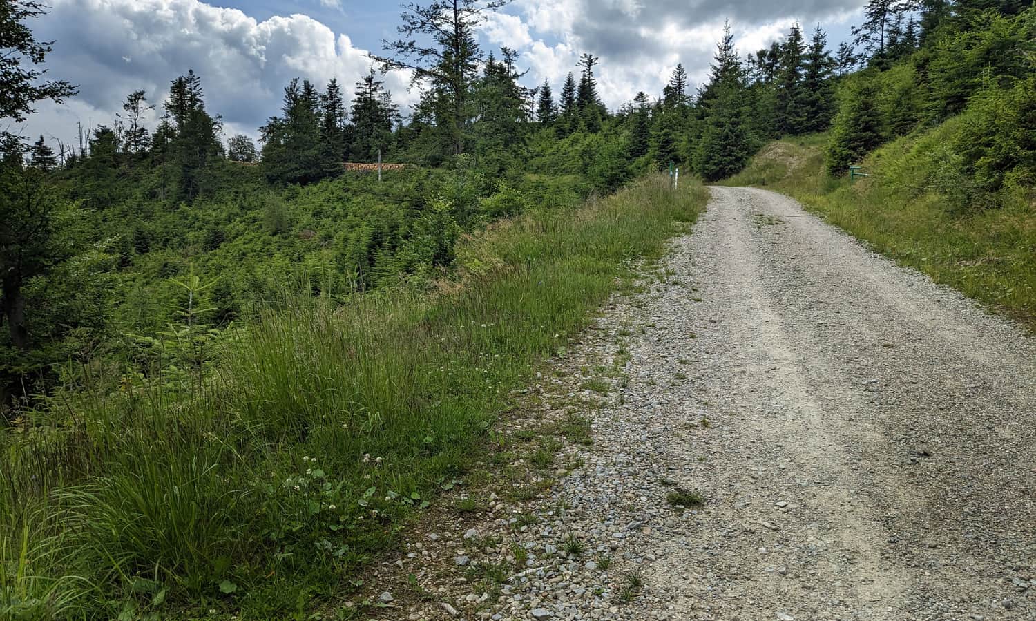
Alternatively, the easiest descent from Radziejowa to Rytra (recommended, for example, in case of bad weather or approaching dusk) leads along a forest road with a cycling trail through Dolina Roztoki Mała (about 2.5 hours).

Publish Date:
Last Updated: