Red Trail from Rytro to Radziejowa Peak via Niemcowa
Nearby: Nowy Sącz| Distance | 11.2km |
|---|---|
| Time | 5h 25min |
| Ascents | 1052m |
| Descents | 141m |
directions_car Access by car
directions_bus Can be reached by bus
train Access by train possible
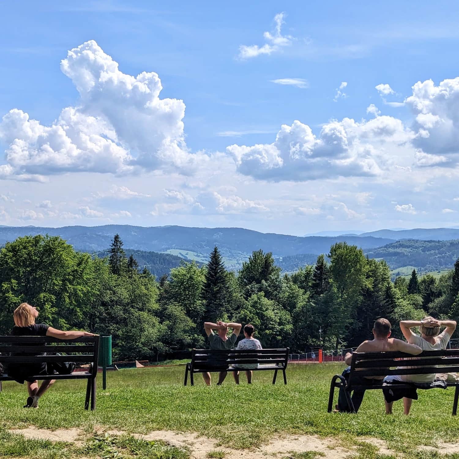
The red trail from Rytro to Radziejowa (1266 meters above sea level) is not very long, but due to the elevation difference, it is a quite demanding route to the highest peak of the Sądecki Beskid. As a reward, a lookout tower awaits us with panoramas on all four sides of the world!
The Beginning of the Red Trail in Rytro
The red trail runs through the center of Rytro. We can get here by train, bus from Nowy Sącz, or by car (parking, for example, at the train station).

Rytro - Brzozowy Gronik
The first stage of our hike is about an hour-long ascent to the scenic hill above Rytro. This first section can be tiring... we climb steep asphalt roads through buildings, fields, and meadows. On a sunny day, it can be fully exposed to the sun.
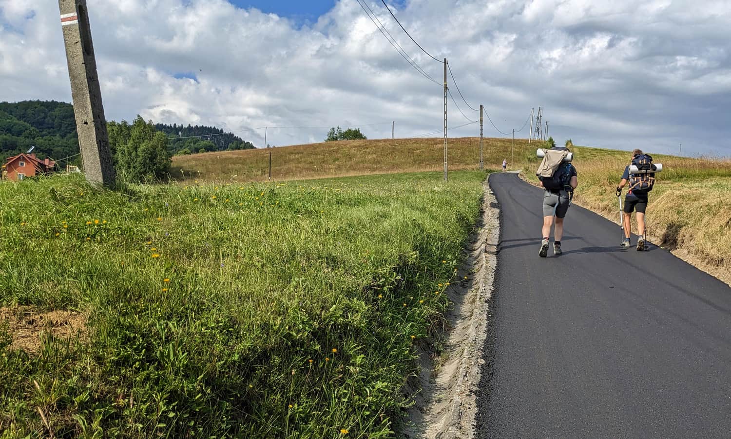
Fortunately, the increasingly beautiful views behind us give us strength, and on Brzozowy Gronik, there is already a wide panorama!
Brzozowy Gronik - Kordowiec - Niemcowa
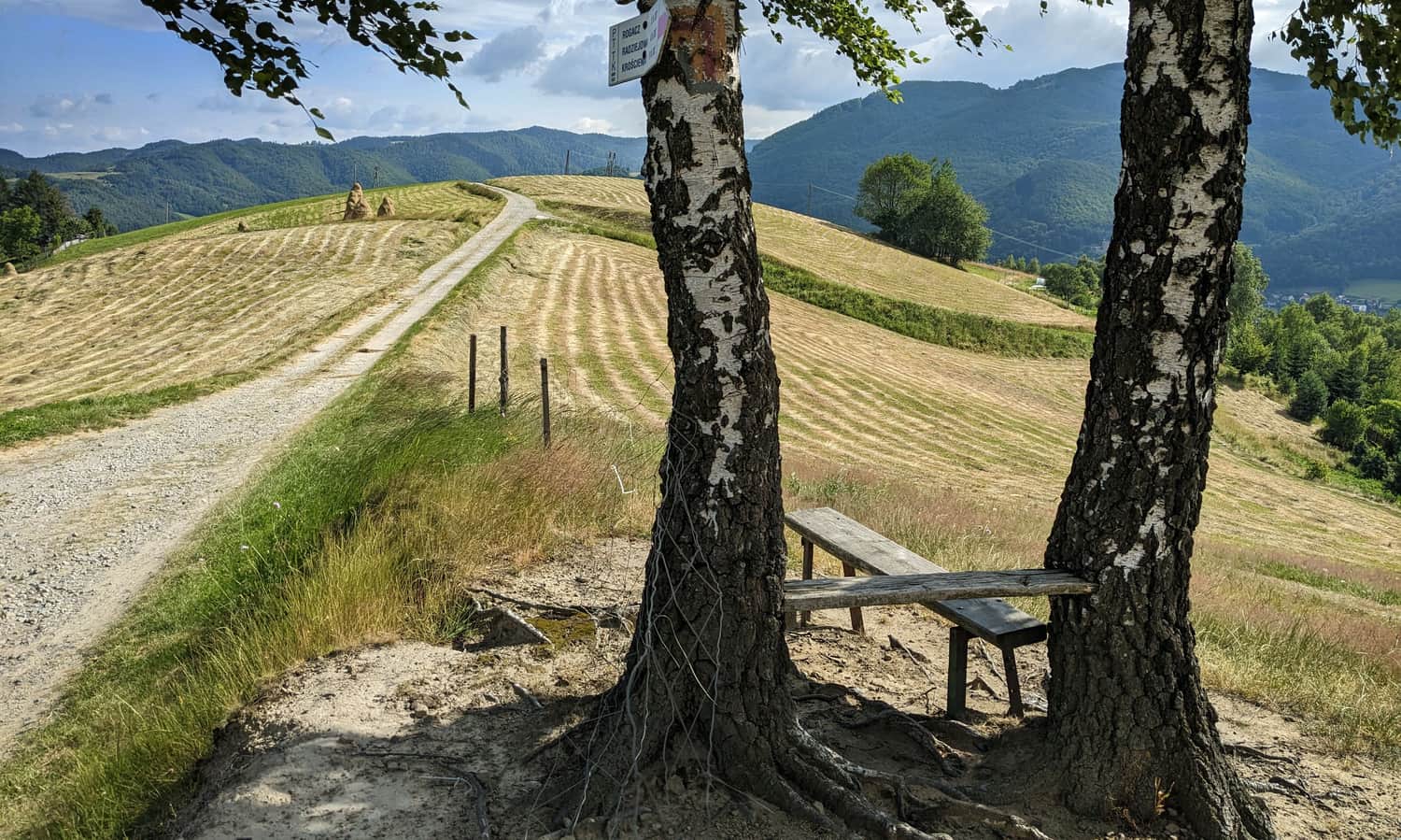
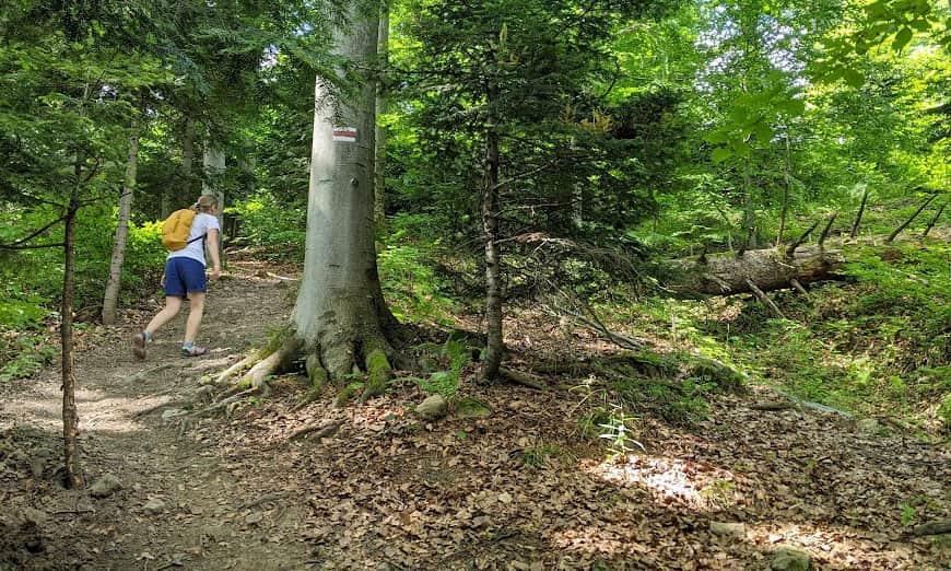
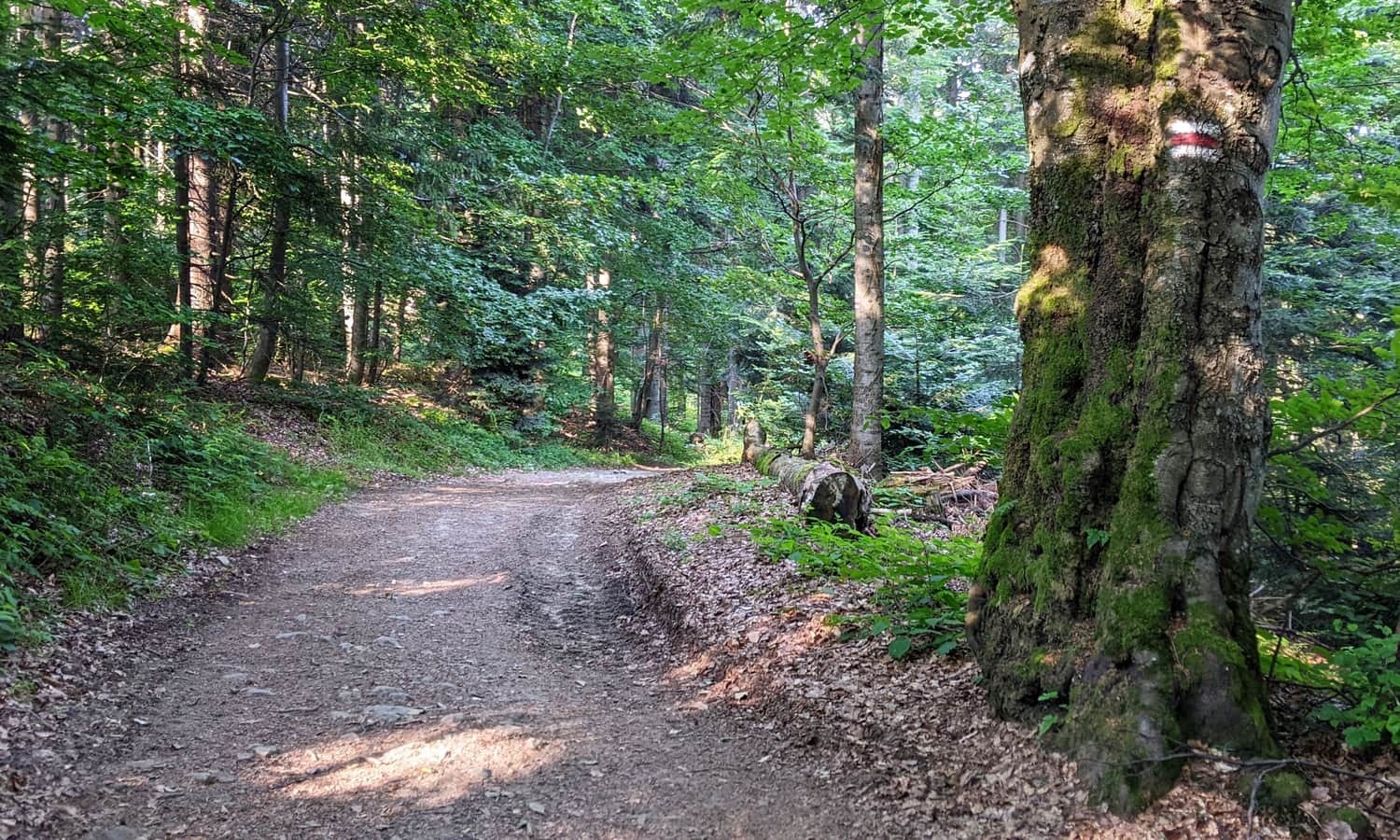
Shortly after Brzozowy Gronik, the red trail enters the forest, but that doesn't mean the views end! We pass small forest meadows and clearings, including the one on Kordowiec:
After a while, we reach the incredibly scenic "Poczekaj" meadow:
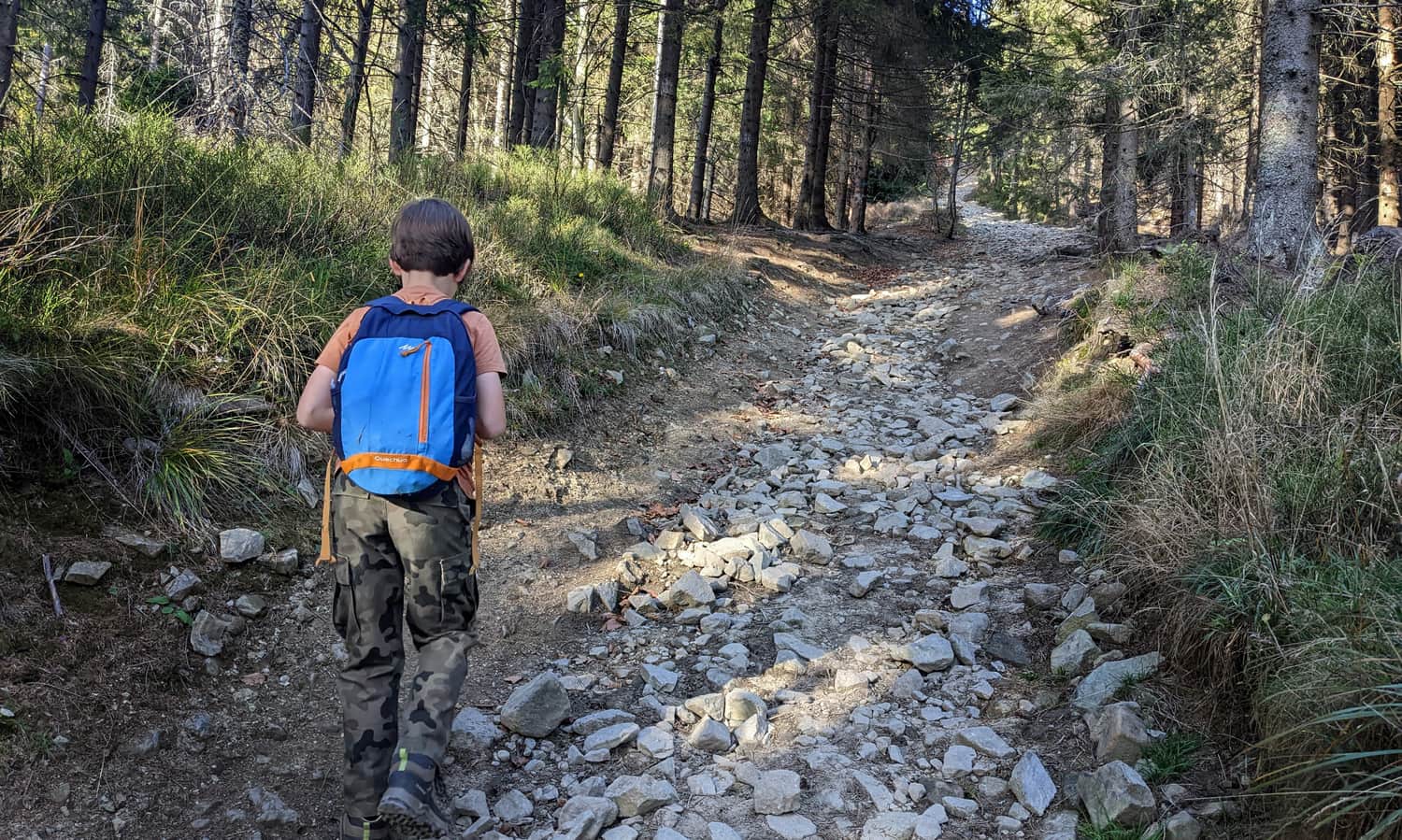
Note: in the forest sections, we will encounter a few uphill sections, sometimes quite steep, but fortunately not too long!
It is worth taking a longer break at the Niemcowa Niżna meadow, near the ruins of the former mountain school "above the clouds." This place has an incredible history!
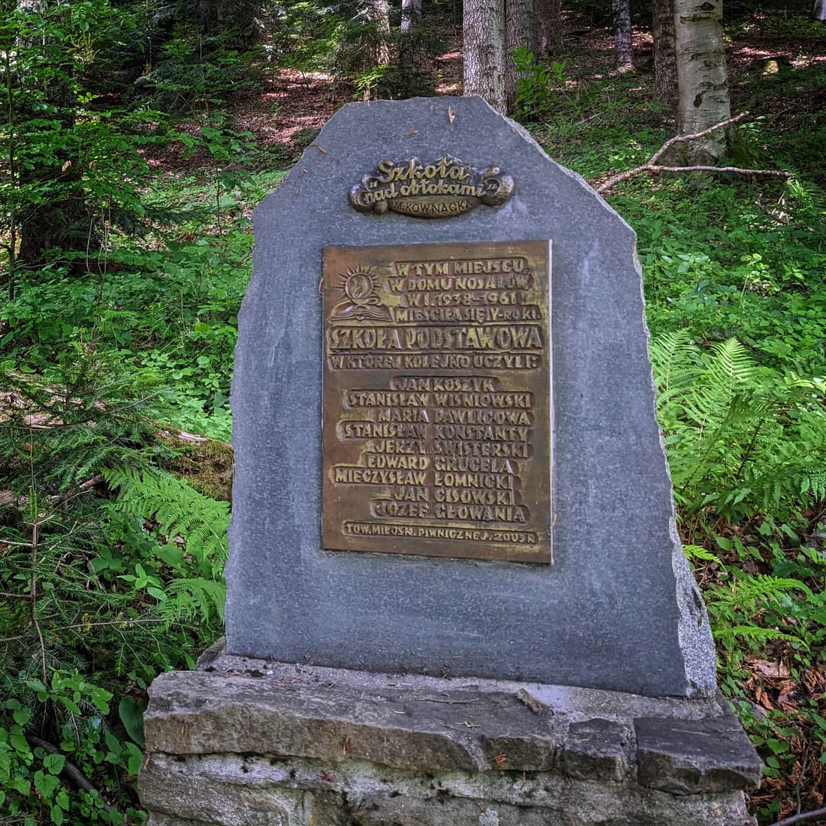
Mountain "School above the Clouds" on Niemcowa - facts and curiosities
The mountain school on Niemcowa, known as the "School above the Clouds" from Maria Kownacka's book, was located on a meadow below the summit of Niemcowa from 1938 to 1961. It was the highest school in Poland (1026 meters above sea level). ...
You can see more photos from the section of the route from Rytro to Niemcowa here:
Medium
From Rytra to Niemcowa through Kordowiec

Niemcowa - Wielki Rogacz
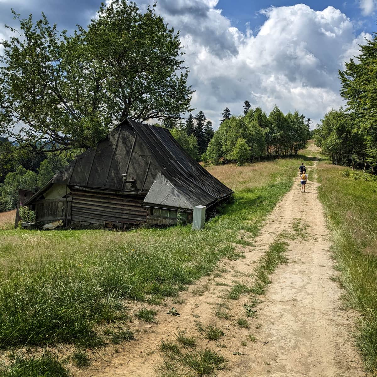
At Niemcowa, the red trail meets the yellow signs from Piwniczna Zdrój. On this meadow, endless blueberry fields stretch during the season!
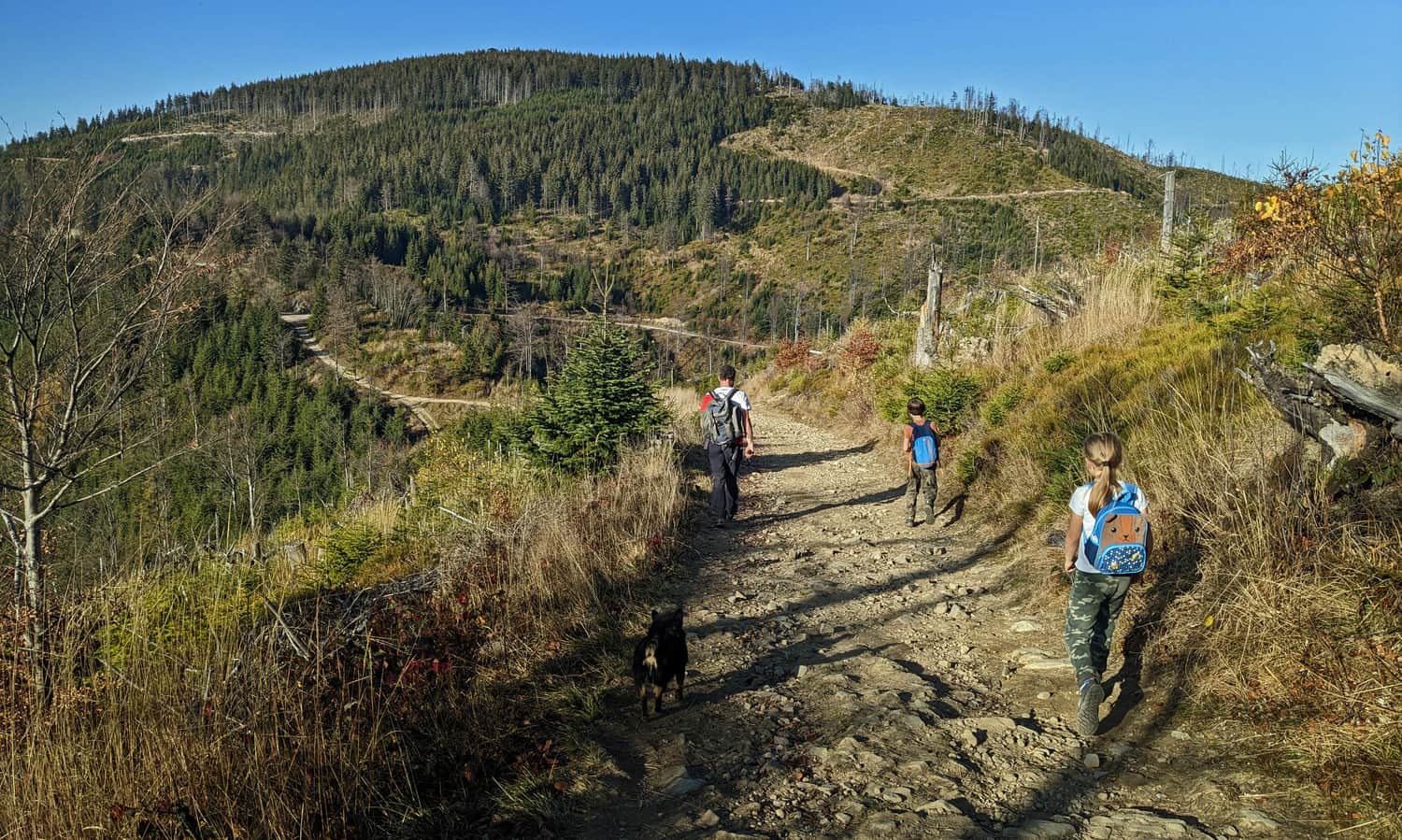
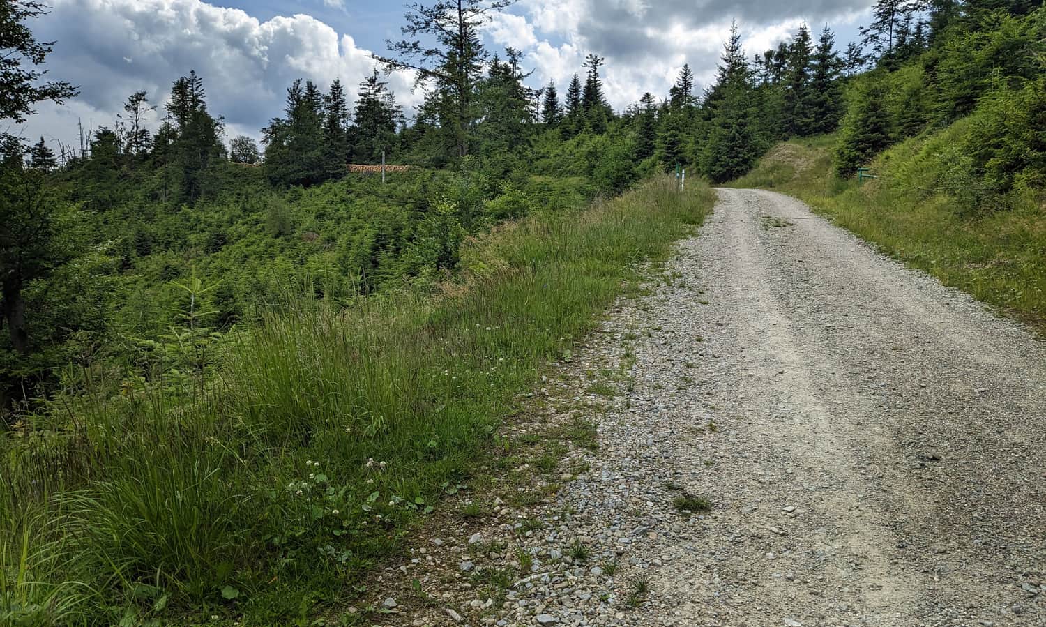
The section of the red trail from Niemcowa to Wielki Rogacz is a peaceful walk through the forest without significant elevation changes. The path is wide, comfortable, and without major difficulties.
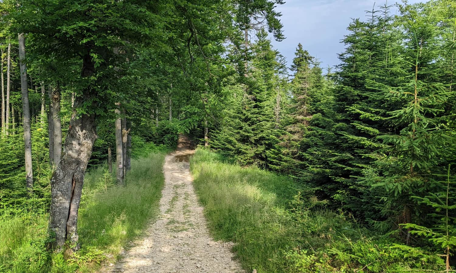
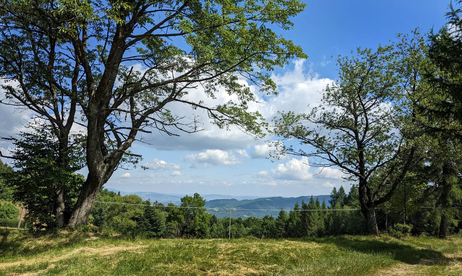
Mostly, we walk through the forest, in the shade. Sometimes, on small clearings, we encounter a "viewing window":
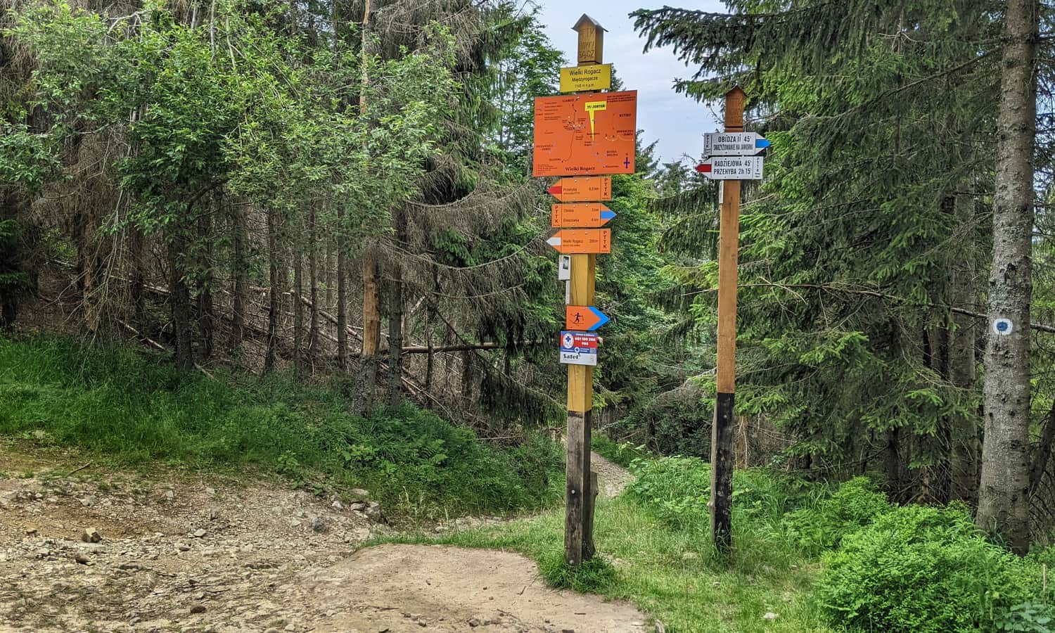
Wielki Rogacz - Radziejowa
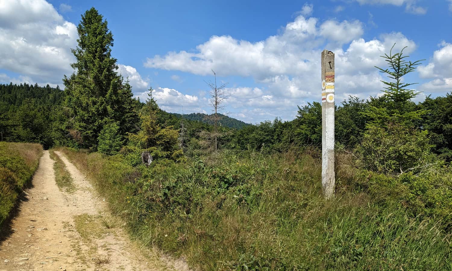
Under Wielki Rogacz, the red trail meets the blue signs from Obidza (did you know that if you were to go and follow the blue trail starting here, you would reach Tarnów?)
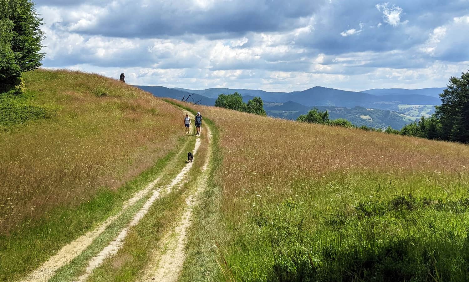
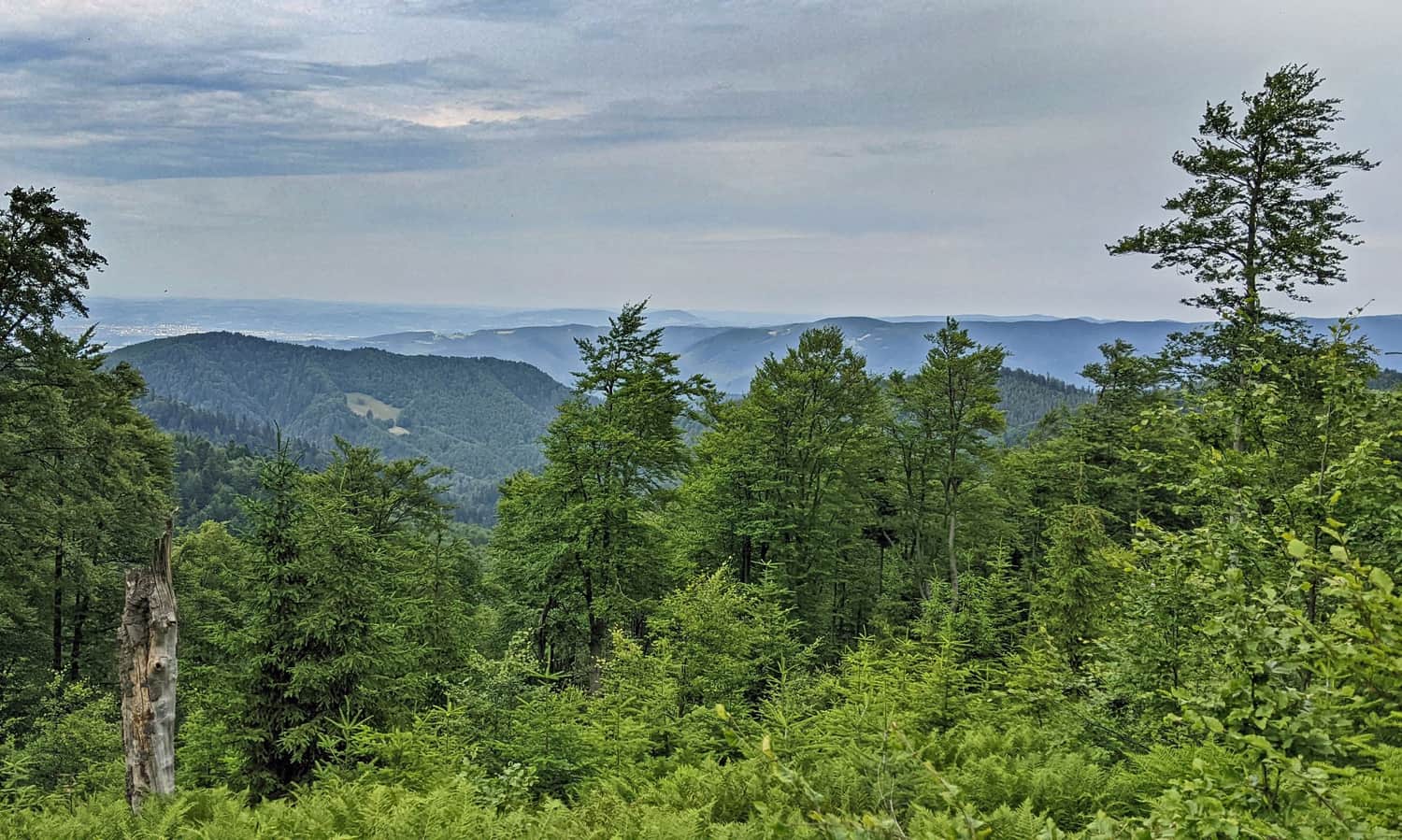
The red trail bypasses the peak of Wielki Rogacz and descends to Przełęcz Żłobki. Look around because beautiful views of the Pieniny and Tatras await you here!
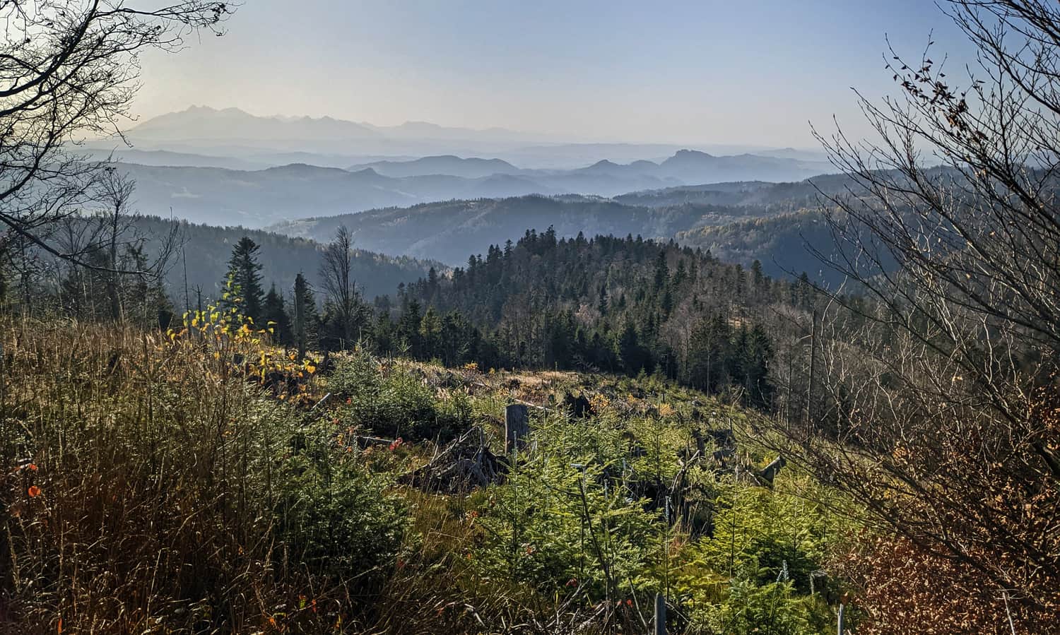
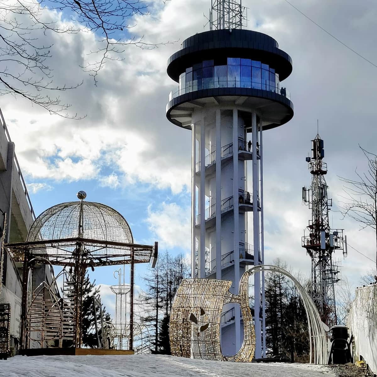
From here, we can already see the goal of our hike: the summit dome of Radziejowa and the top of the lookout tower protruding above the treetops:
After Przełęcz Żłobki (1106 meters above sea level), a short but very steep and rocky ascent to the summit of Radziejowa awaits us: within a distance of 800 meters, we climb 160 meters up...
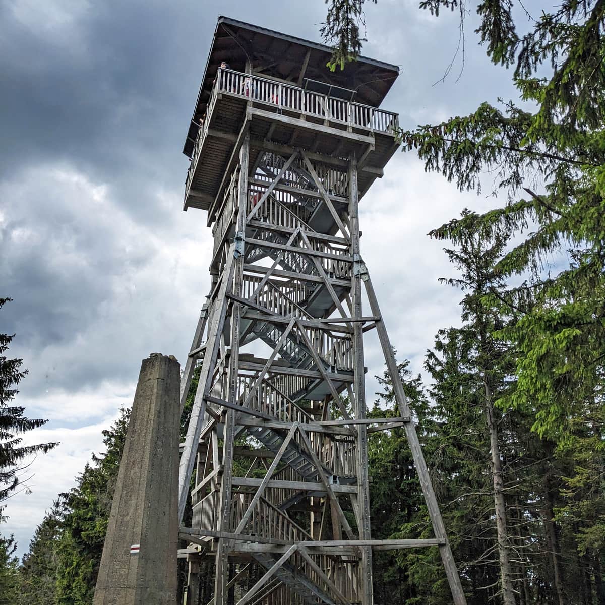
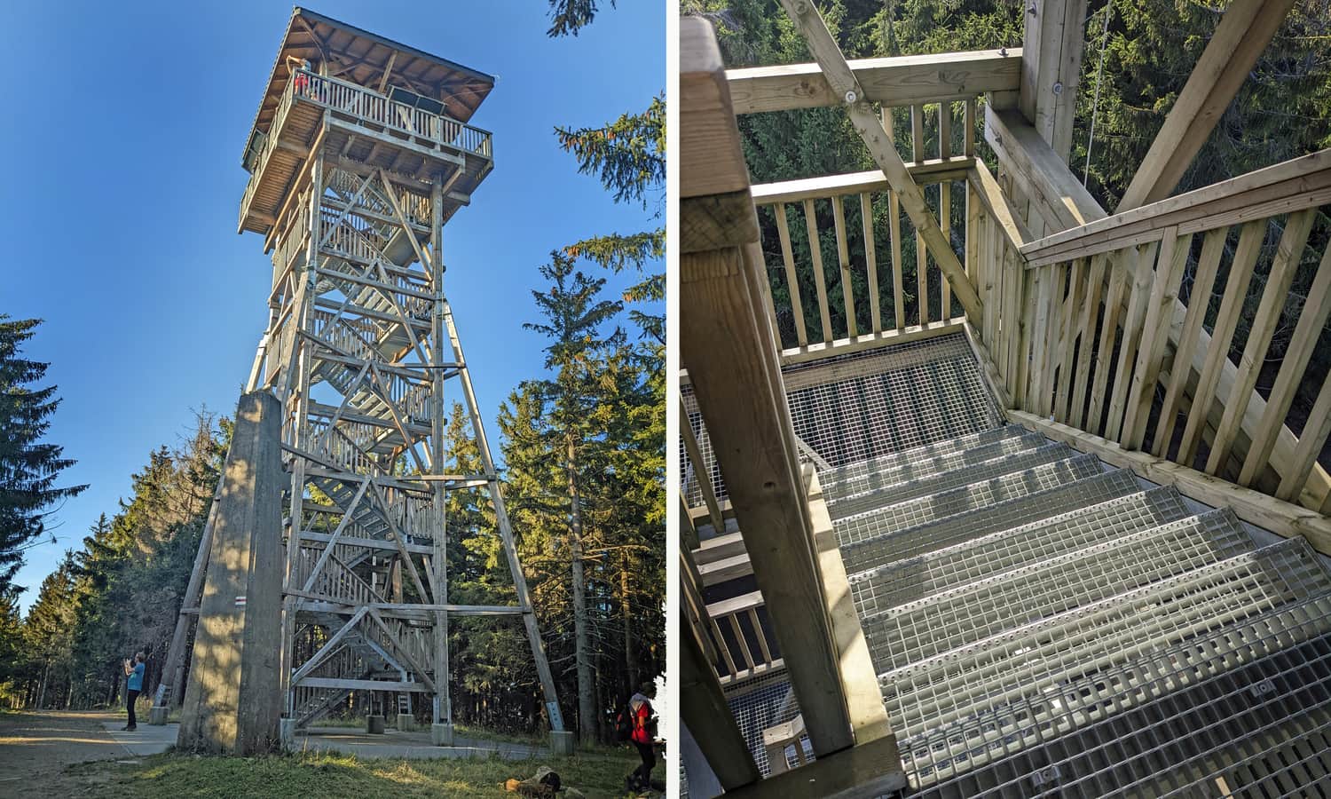
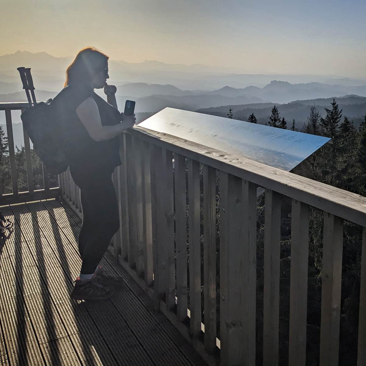
Radziejowa, 1266 meters above sea level - lookout tower
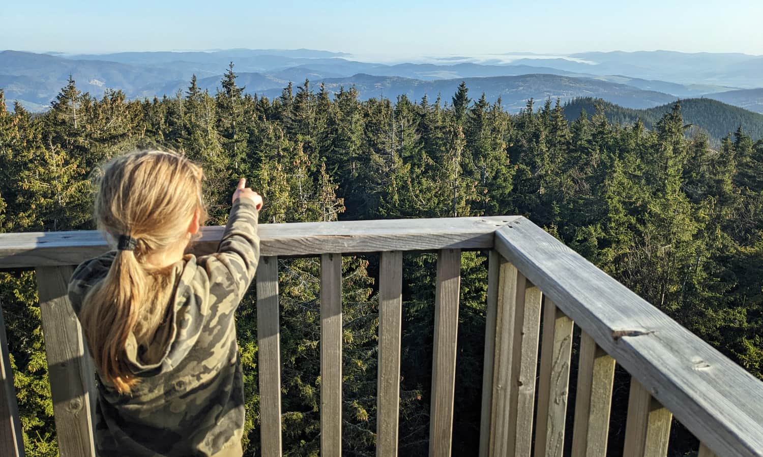
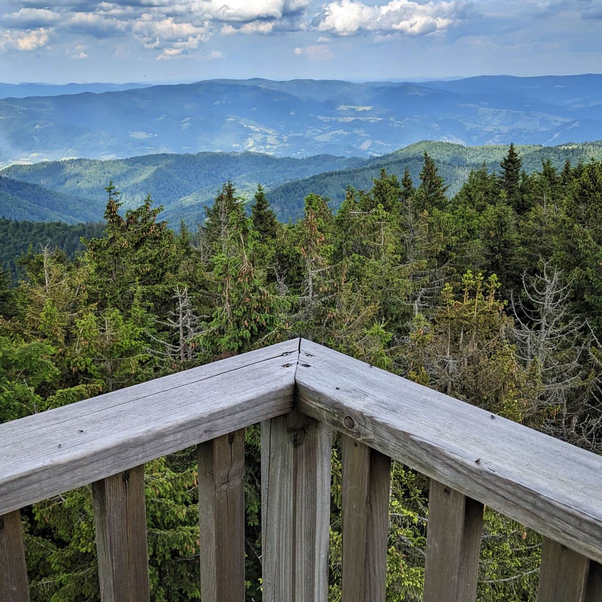
At the forested highest peak of the Sądecki Beskid, a stone obelisk and a box with a commemorative stamp await us, but above all, a new lookout tower with a terrace that offers beautiful views on all four sides of the world!
Find out more about the summit and views from the tower:
Radziejowa - all trails and observation tower
Radziejowa is the highest peak in the Sądecki Beskids (1266 m above sea level), included in the Crown of Polish Mountains and the Crown of the Beskids. Thanks to the new observation tower on the forested summit, we can enjoy a panorama of the Tatras, Pieniny, Gorcys, and the Beskids. ...
From Radziejowa to Rytro
We can descend to Rytro using the same path, the red trail. The descent will take approximately 3 hours.
It will be slightly shorter if, after Przełęcz Żłobki, we turn onto the yellow trail, which will lead us through Jaworzyny to the Dolina Roztoki Wielkiej in about 2.5 hours.
Medium
Shortest trail to Radziejowa from Rytra

The easiest descent from Radziejowa to Rytro (recommended, for example, in case of bad weather or approaching dusk) follows the "stokówka," a forest road with a cycling trail through Dolina Roztoki Mała (about 2.5 hours).

Publish Date:
Last Updated: