From Piwniczna Zdrój to Radziejowa
Nearby: Nowy Sącz| Distance | 10.5km |
|---|---|
| Time | 5h 2min |
| Ascents | 967m |
| Descents | 85m |
wb_sunny Route in the sun
directions_car Access by car
directions_bus Can be reached by bus
train Access by train possible
The trail to Radziejowa (1266 meters above sea level) from Piwniczna Zdrój through Niemcowa is first marked with a yellow trail, and then a red trail. It leads us to the highest peak of the Beskid Sądecki with a lookout tower and wide panoramas on all four sides of the world.
Yellow Trail: Piwniczna Zdrój - Niemcowa
The first part of our journey from Piwniczna Zdrój to Radziejowa is a climb on the yellow trail through numerous scenic settlements, fields, and meadows towards Niemcowa.
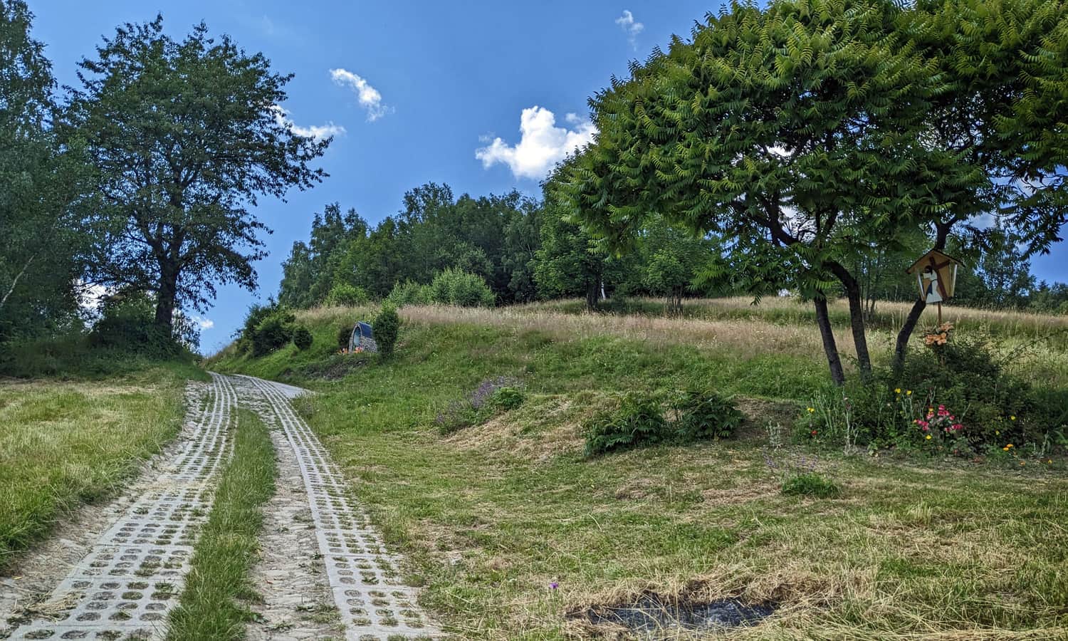
At the beginning (about 1.5 hours), we ascend on paved paths (asphalt, cobblestones, concrete slabs) towards Kamienny Groń:
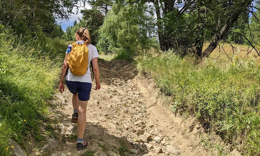
Then, we conquer alternating steep forest ascents:
...and viewpoints where it's worth taking a breath before continuing the climb:
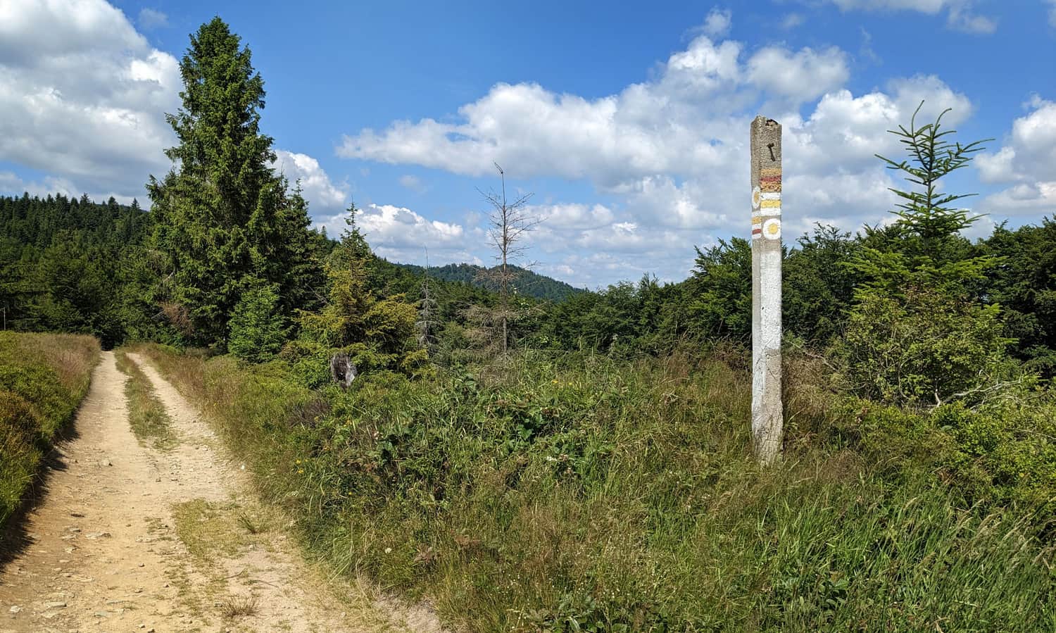
After about 3 hours from starting in Piwniczna Zdrój, we reach Niemcowa - a blueberry meadow with a trail junction.
More about this section of the trail from Piwniczna Zdrój to Radziejowa can be found here:
Medium
Yellow Trail from Piwniczna Zdrój to Niemcowa

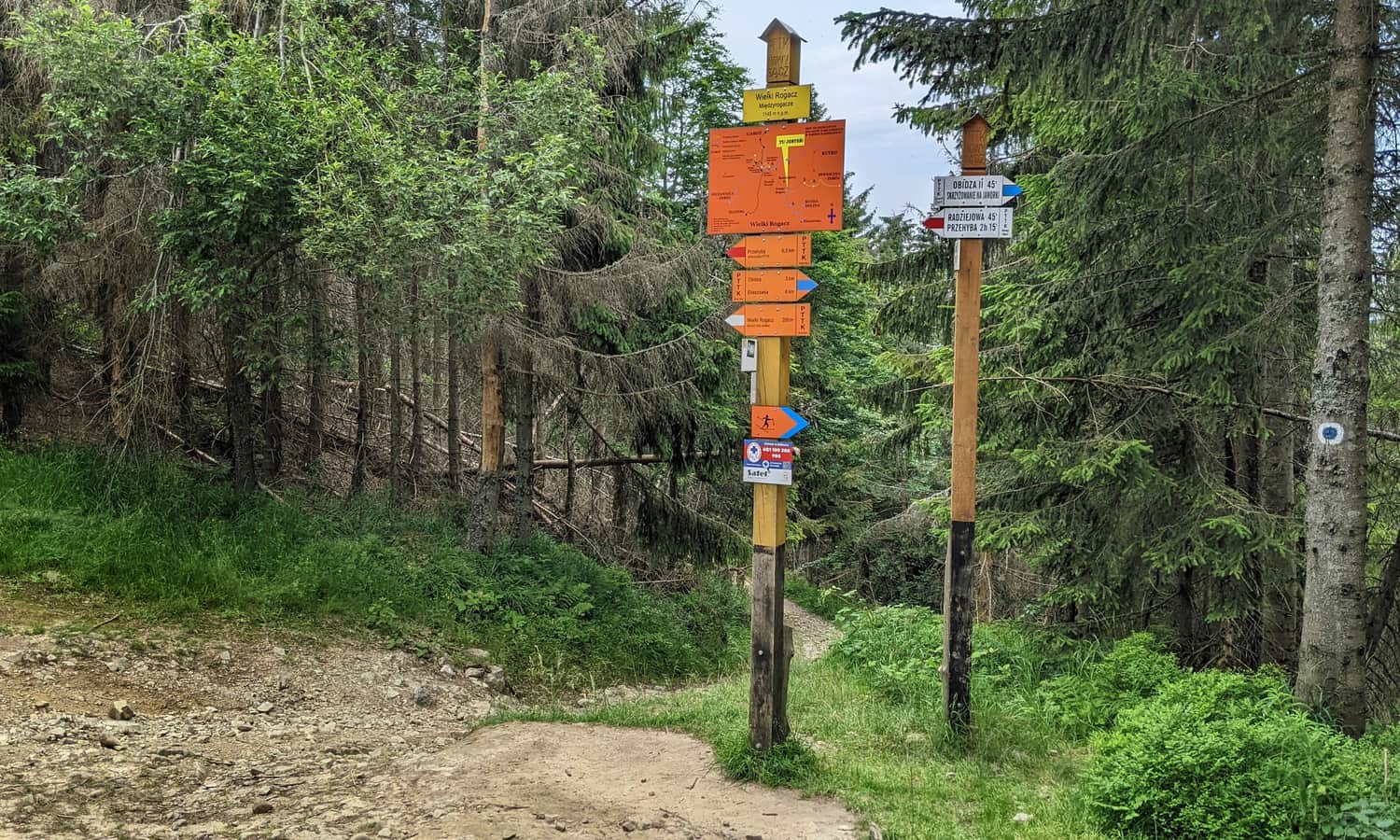
Niemcowa - Wielki Rogacz
At Niemcowa, the yellow trail meets the red trail signs from Rytr - we will now follow these signs to the destination of our hike.
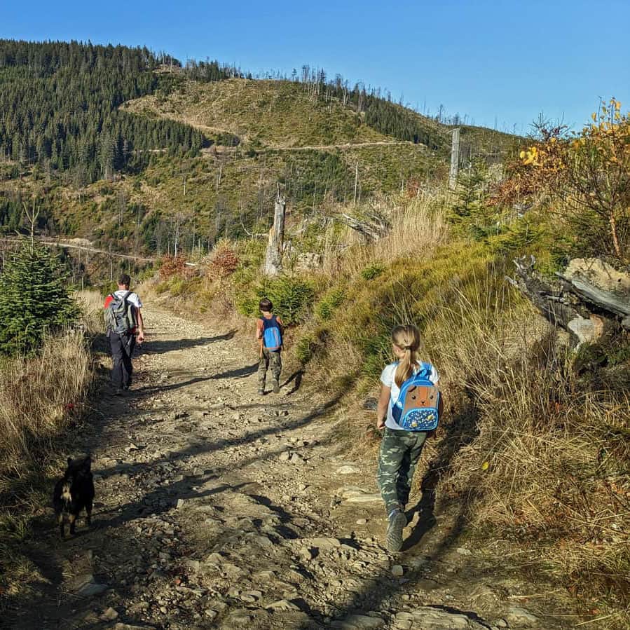
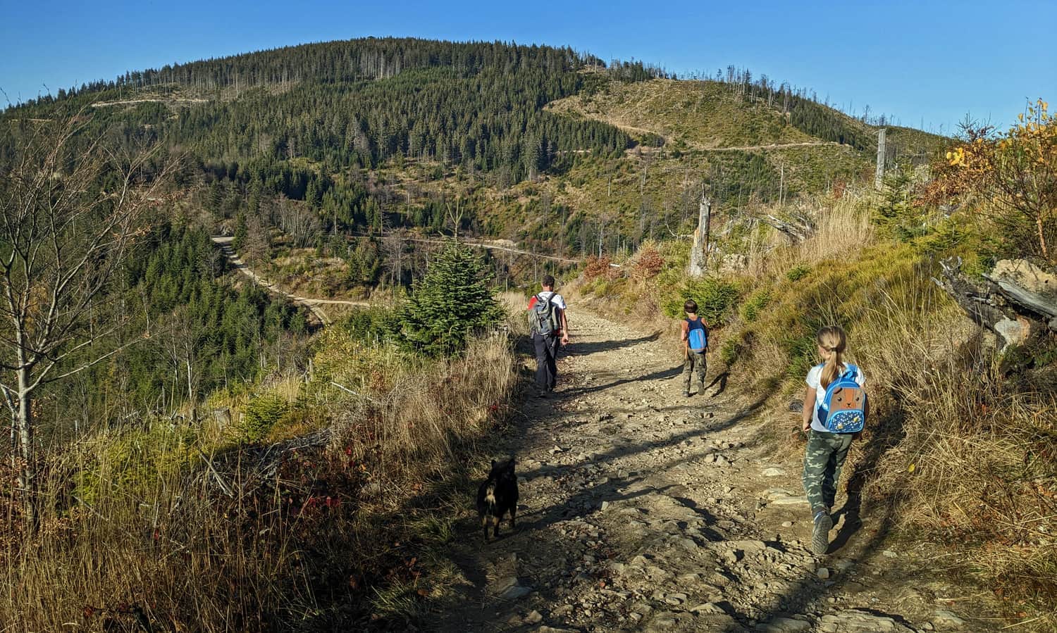
The section of the red trail from Niemcowa to Wielki Rogacz is a fairly peaceful walk through the forest without significant elevation changes. The path is wide, comfortable, and without major difficulties.
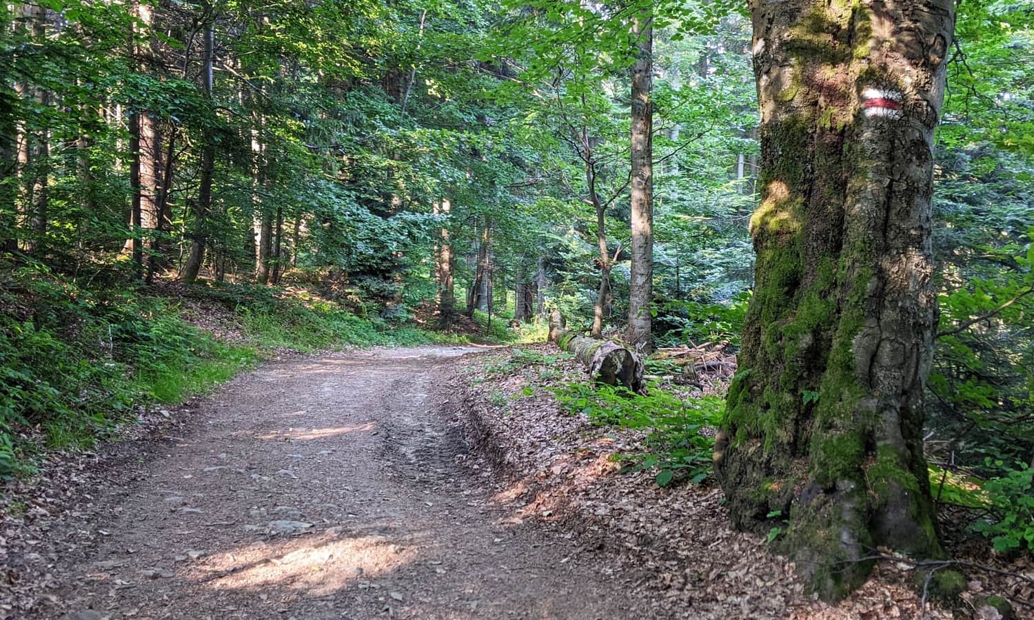
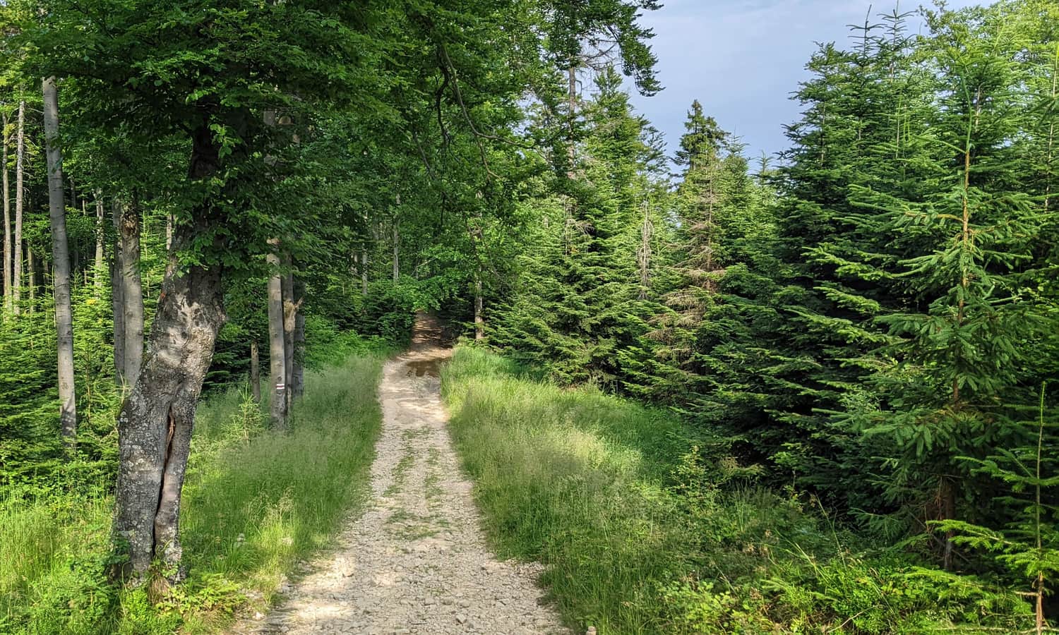
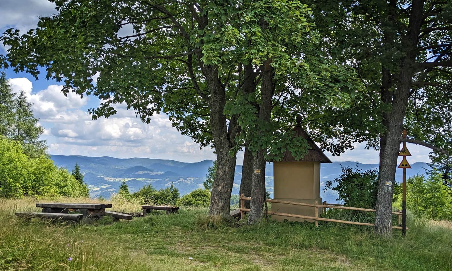
We mainly walk through the forest, in the shade. Sometimes, we encounter small clearings and openings with a "viewing window":
Wielki Rogacz - Radziejowa
Under Wielki Rogacz, the blue signs from Obidza join the red trail (did you know that if you were to follow these blue signs starting here, you would reach Tarnów?)
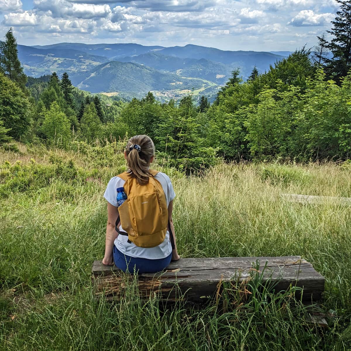
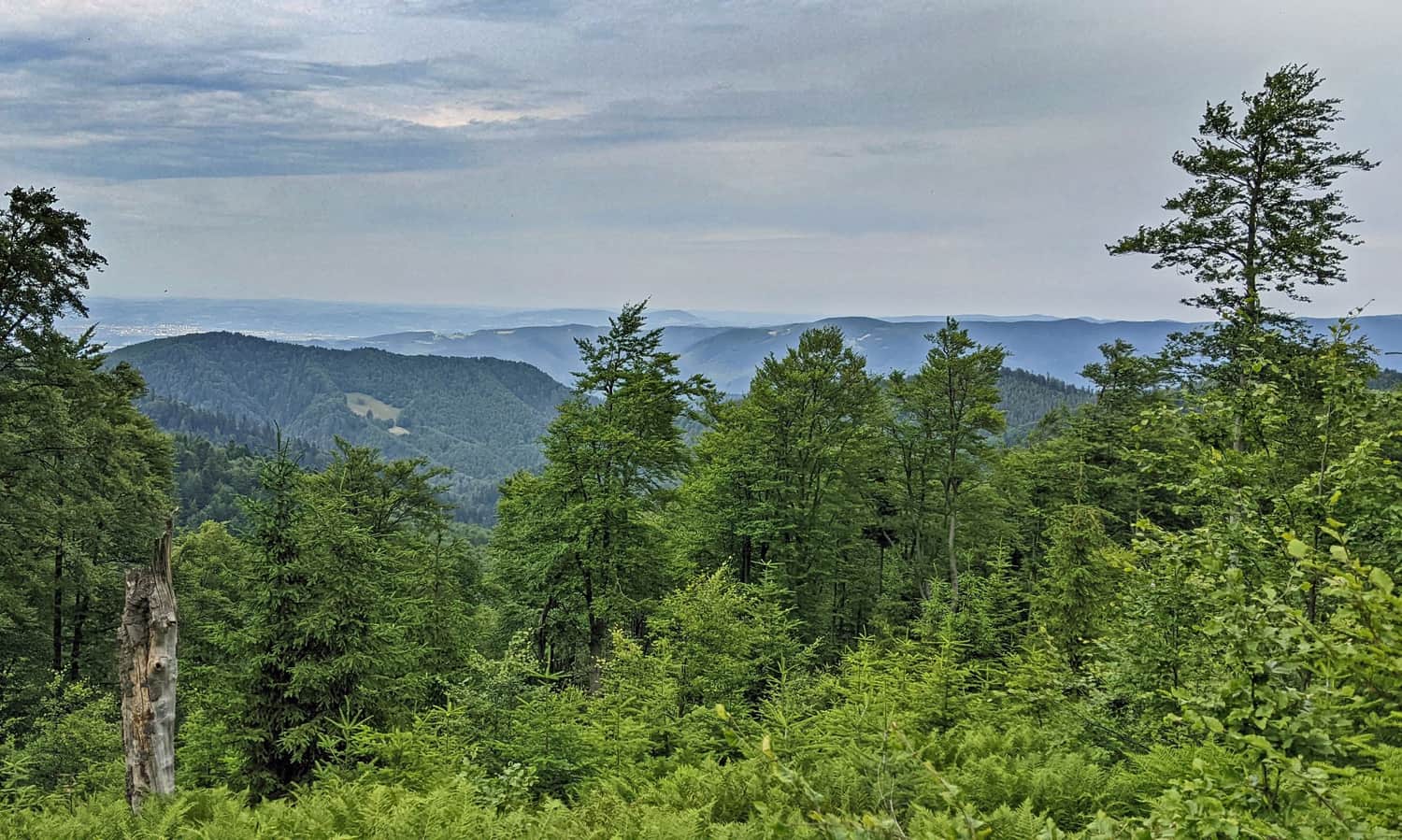
The red trail bypasses the summit of Wielki Rogacz and descends to Przełęcz Żłobki. Look around, as beautiful views of the Pieniny and Tatras await you here!
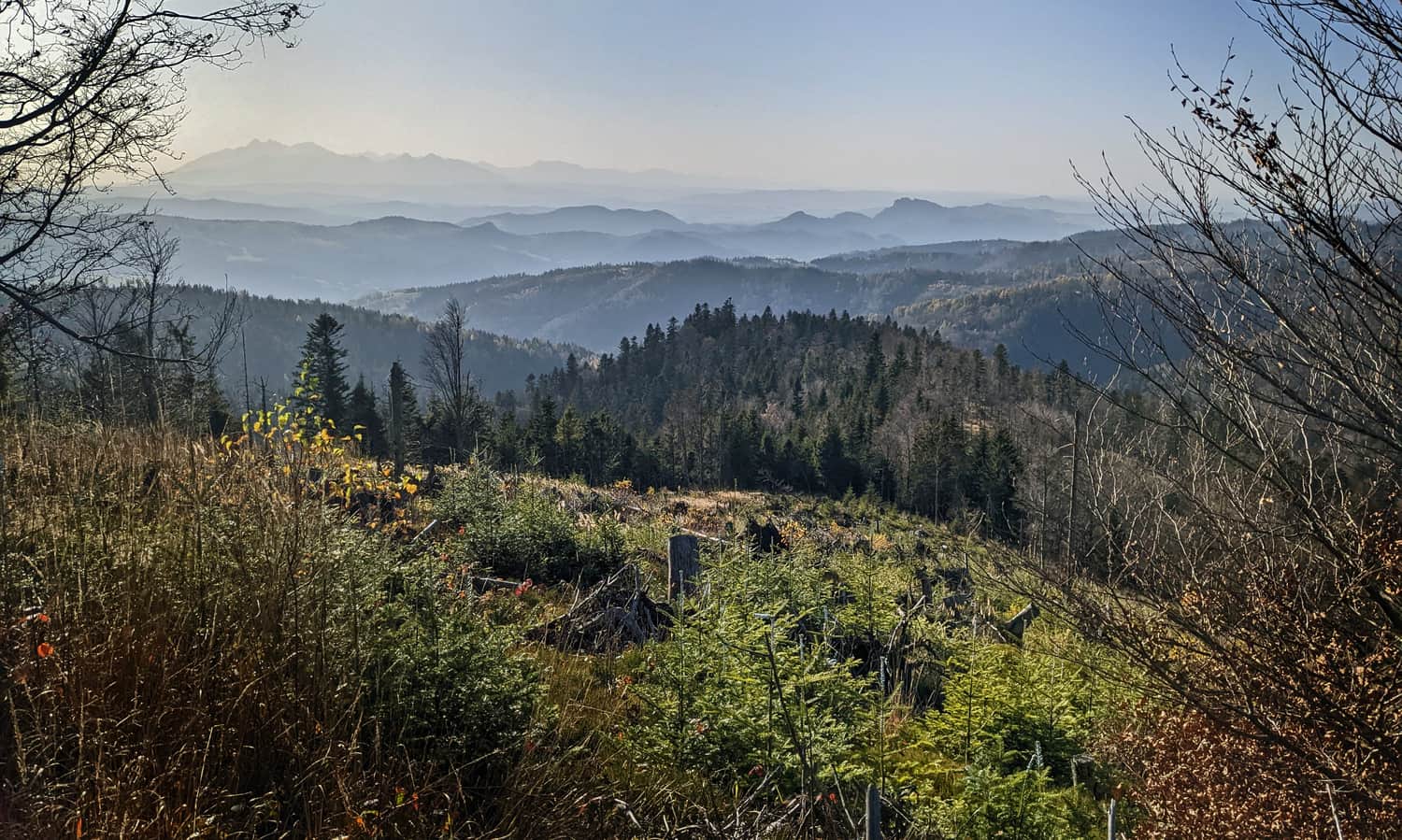
From here, we can already see the goal of our hike: the dome-shaped summit of Radziejowa and the prominent lookout tower above the tree canopy!
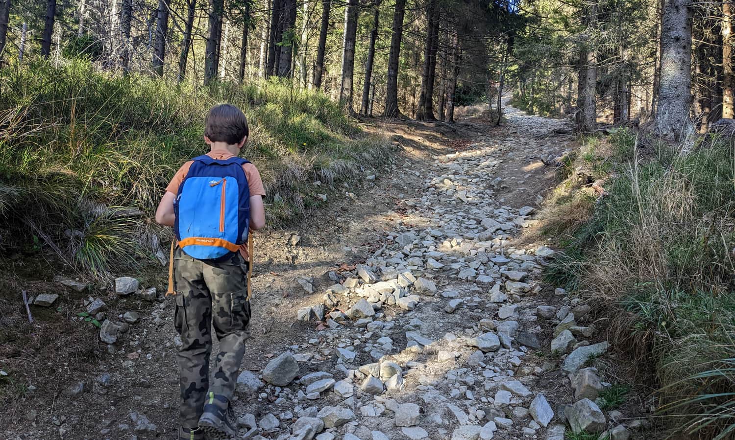
After Przełęcz Żłobki (1106 meters above sea level), a short but very steep and rocky ascent to the summit of Radziejowa begins: over a distance of 800 meters, we need to climb 160 meters up...
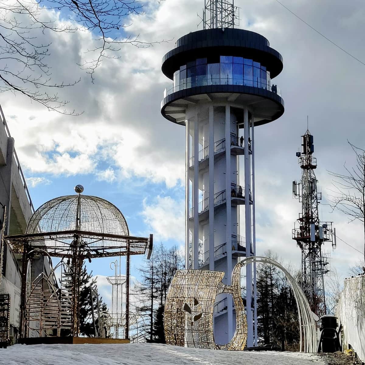
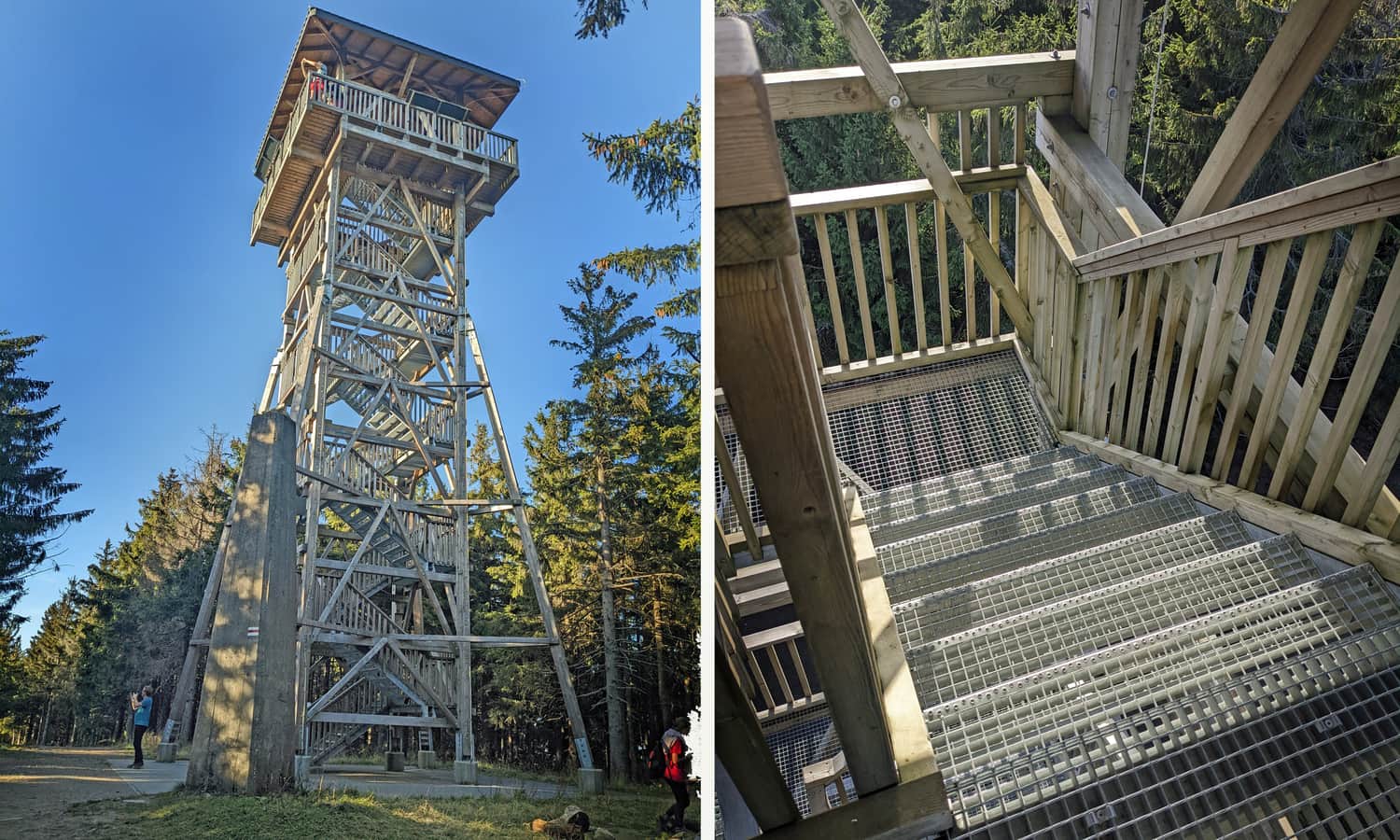
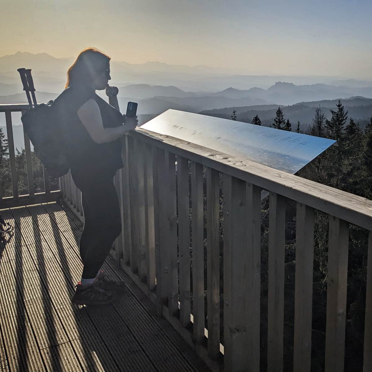
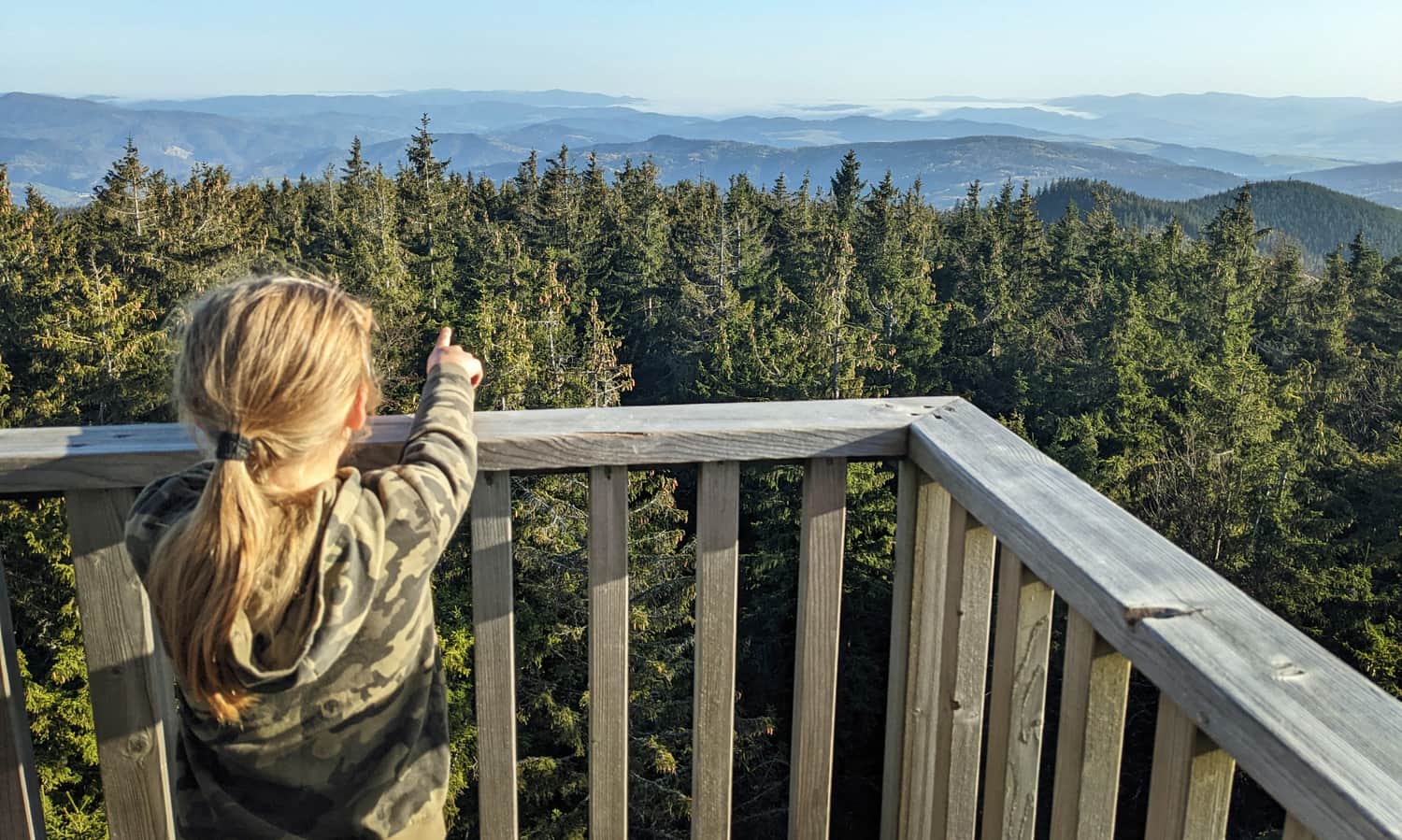
Radziejowa, 1266 meters above sea level - lookout tower
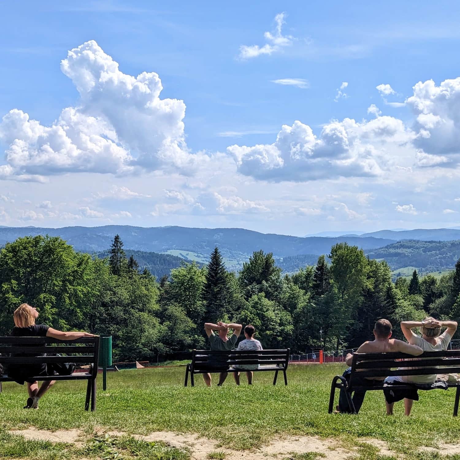
On the forested highest peak of the Beskid Sądecki, we will find a stone obelisk, a box with a commemorative stamp, but above all, a new lookout tower with a terrace offering breathtaking views on all four sides of the world!
More about the summit and views from the tower:
Radziejowa - all trails and observation tower
Radziejowa is the highest peak in the Sądecki Beskids (1266 m above sea level), included in the Crown of Polish Mountains and the Crown of the Beskids. Thanks to the new observation tower on the forested summit, we can enjoy a panorama of the Tatras, Pieniny, Gorcys, and the Beskids. ...
From Radziejowa to Piwniczna Zdrój
We can descend to Piwniczna Zdrój using the same route, following the red trail and then the yellow trail. The descent will take approximately 2 hours and 40 minutes.
If we are concerned about darkness or worsening weather conditions, it will be more comfortable and safer (although it takes a bit longer - a total of about 3 hours and 40 minutes) to descend to Piwniczna Zdrój via Obidza. First, we return on the red trail under Wielki Rogacz, and then we follow the blue trail to Obidza (this "off-road" section takes about 1 hour). From Obidza, a comfortable asphalt road will lead us to Piwniczna Zdrój - the descent to the town center takes about 2.5 hours.

Publish Date:
Last Updated: