Yellow Trail from Piwniczna Zdrój to Niemcowa
Nearby: Nowy Sącz| Distance | 6.1km |
|---|---|
| Time | 3h 3min |
| Ascents | 616m |
| Descents | 10m |
wb_sunny Route in the sun
directions_car Access by car
directions_bus Can be reached by bus
train Access by train possible
The Yellow Trail from Piwniczna Zdrój to Niemcowa is a diverse and scenic route for a mountain hike. Along the way, you will encounter several chapels and places with interesting history.
Starting point of the yellow trail in Piwniczna - Zdrój
The Yellow Trail begins at the Market Square in Piwniczna - Zdrój. You can reach this place by car (parking at the Market Square), bus, or train (Piwniczna - Zdrój railway station in the Poprad Valley, just below the Market Square).
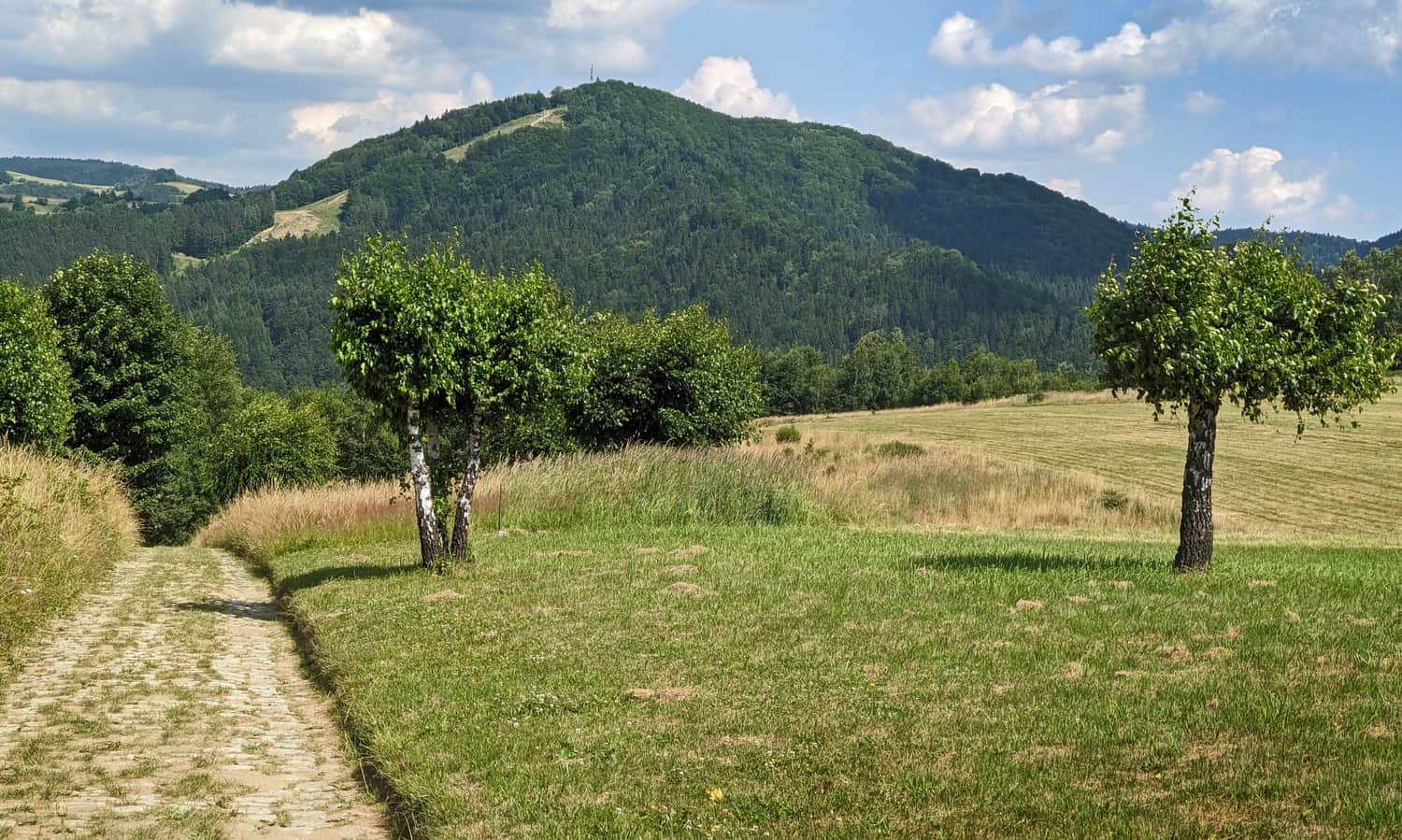
From the Market Square, we climb steep streets to the meadows above Piwniczna. First on asphalt (Partyzantów Street), then on a cobbled road through fields. After about half an hour of hiking, we will be rewarded with the first views: in the foreground, the majestic Kicarz mountain appears:
* From this point, we can take an unpaved, unmarked road to Węgielnik - Skałki Park (viewing platform, reconstruction of trenches).
We continue on concrete slabs to the mountain settlement of Bziniaki, just below Kamienny Groń. We pass more fields, meadows, and buildings, including a farm with a flock of sheep.
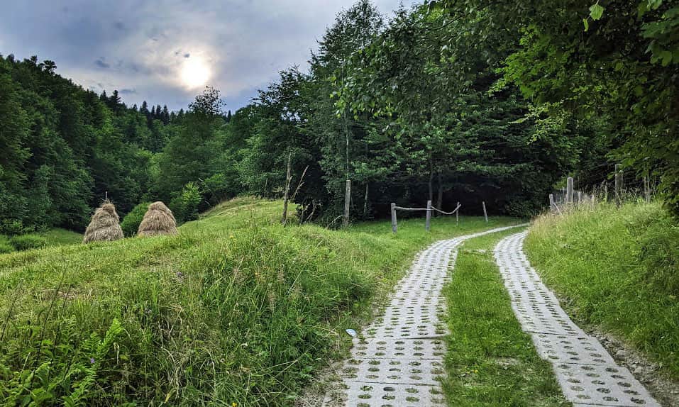
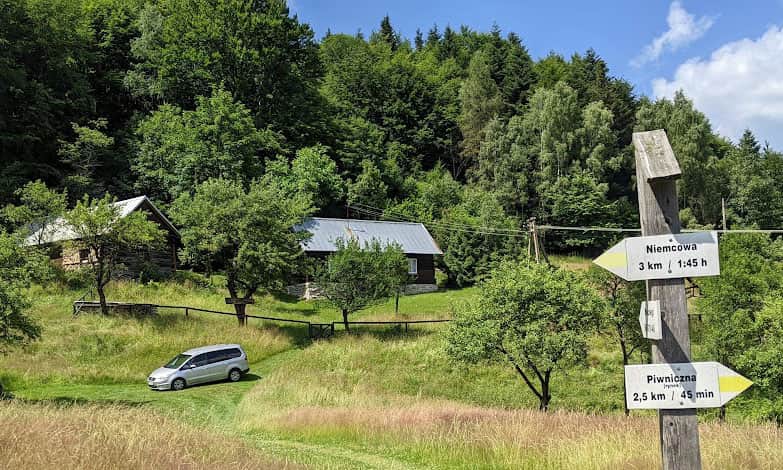
The last "civilization oasis" is the Chata pod Groniem (Cottage under Gronie), where you can book accommodation.
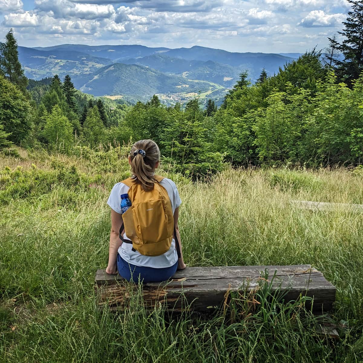
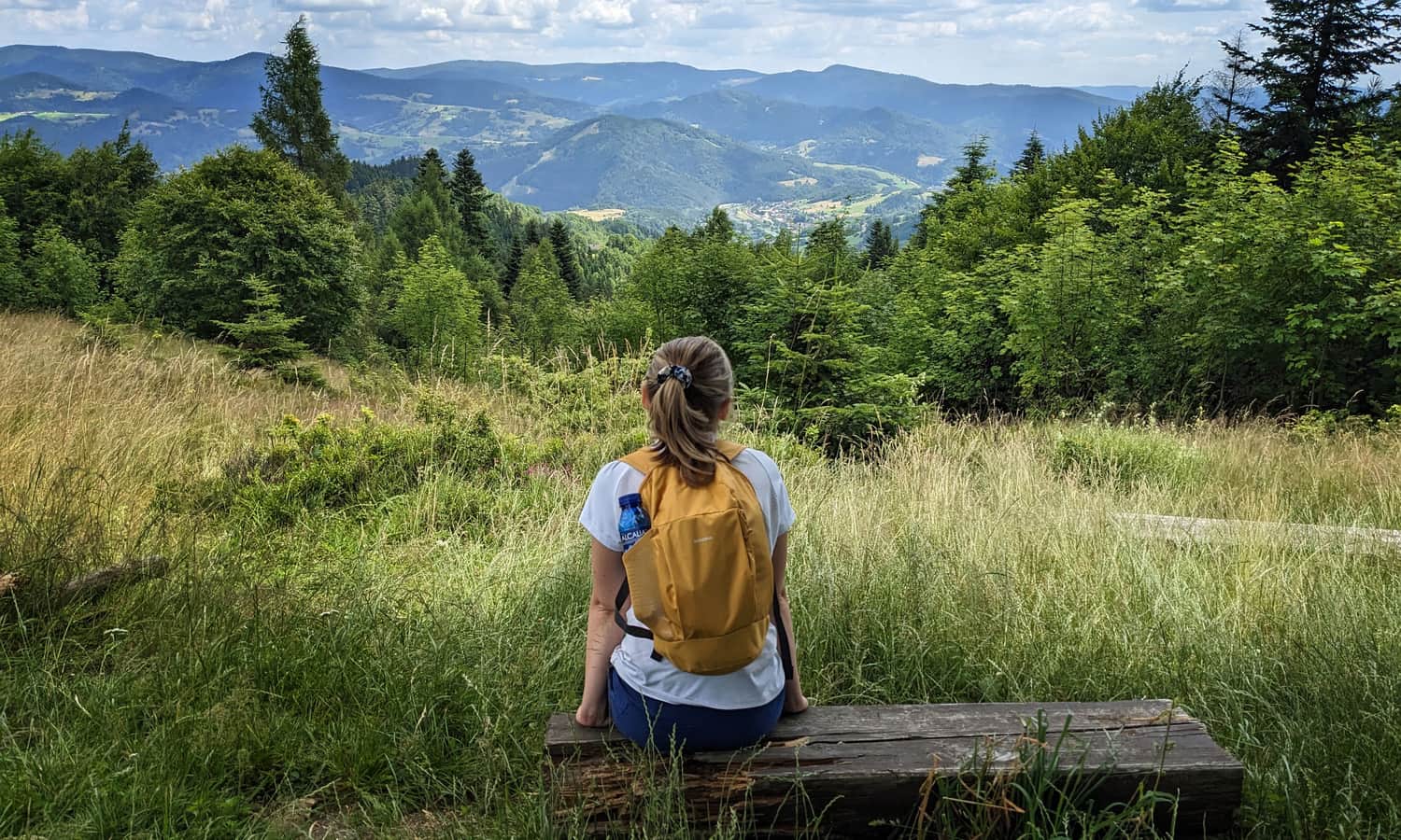
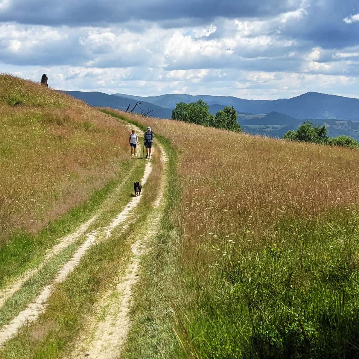
Kamienny Groń - scenic meadows
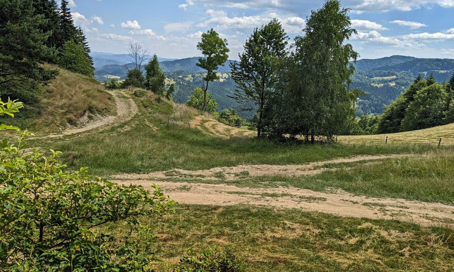
Our path (still concrete...) enters the forest quite steeply. However, there are many scenic clearings ahead! After reaching Kamienny Groń, we will admire the neighboring border ridge with the Piwowarówka settlement and the peak of Eliaszówka.
Jackowa Pościel - Valley of Mountain People's Memory
At some point, it is worth taking a short detour from the trail and visiting the secluded "Valley of Memory", which is a symbolic cemetery of mountain people - a side path leads to it, marked with a large signpost:
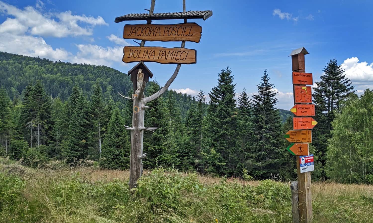
In the Valley of Memory, you will find numerous benches and, above all, monuments to "mountain people" - mainly Beskid and Tatra guides who tragically died in the mountains.
The place's name, "Jackowa Pościel", refers to the fact that it was here that the body of a local guide, Jacek Durlak, was found. He died in 2004 while returning from Babci Ludwika Nowakowa, the so-called "Queen of the Mountains", who lived alone in a cottage in the Poczekaj clearing.
Niemcowa under Trześniowy Groń (1001 m above sea level)
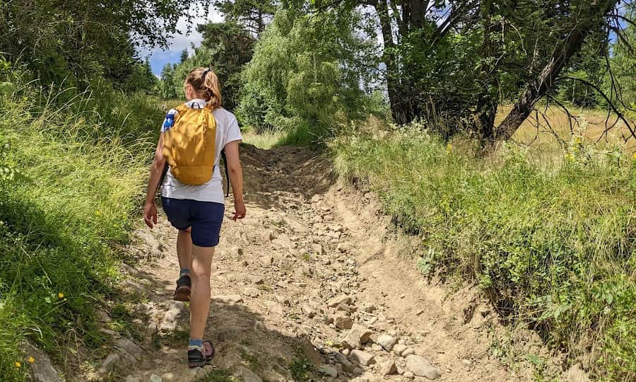
The ascent to Niemcowa involves steep forest paths, such as this one:
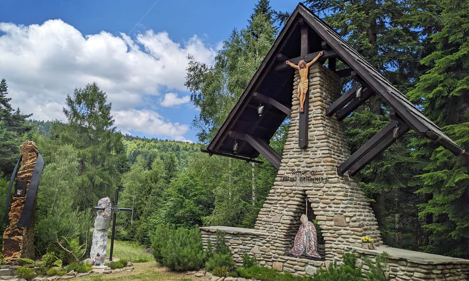
Just before the end of the trail, there is another beautiful scenic spot with a chapel, benches, and a place for a bonfire:
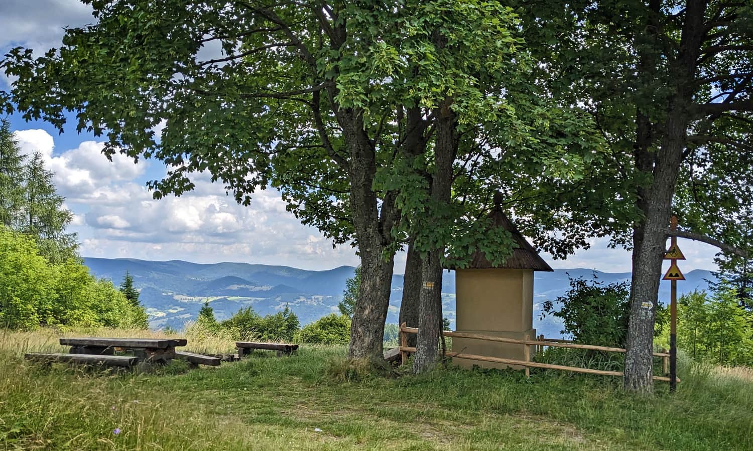
From here, it is only a 20-30 minute walk through the forest until we reach the junction of the yellow and red trails (Rytro - Radziejowa), marked as "Niemcowa". During the season, rich blueberry fields surround us!
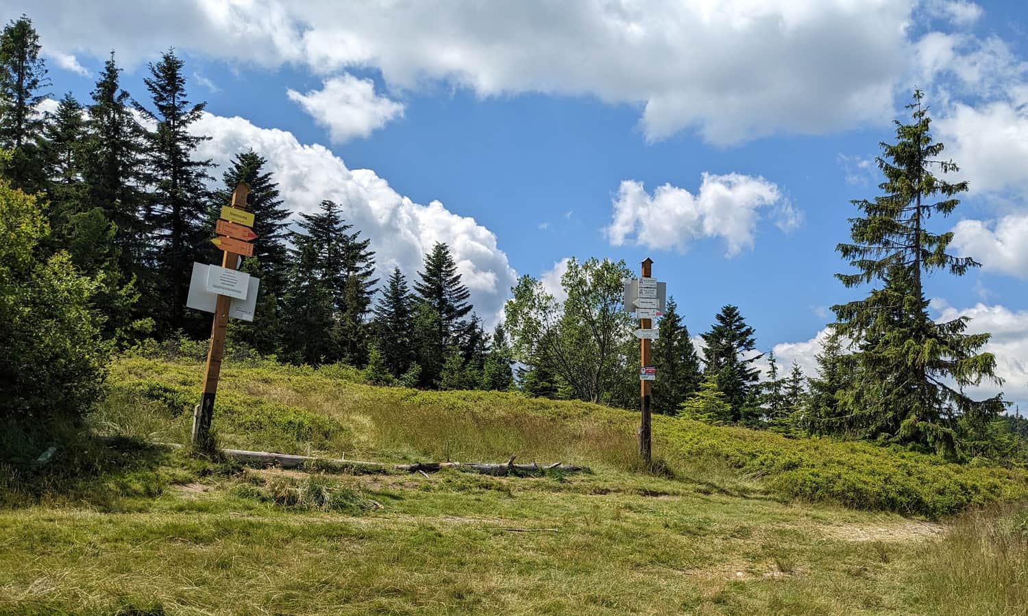
In fact, we are now just below the summit of Trześniowy Groń (1001 m above sea level), and the former settlement of Niemcowa is located a few hundred meters below this point, down the red trail.
Niemcowa and what's next?
Firstly, you can return to Piwniczna Zdrój from here - the descent will take less than 2 hours.
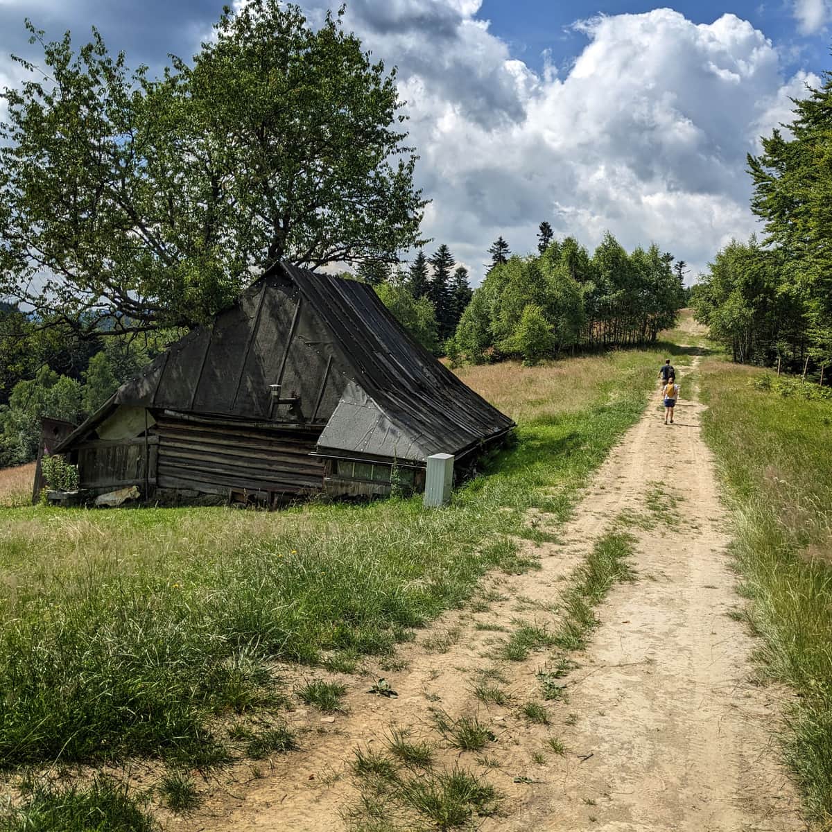
If you want to see the "real Niemcowa," you should descend about 800 meters down the red trail towards Rytro. At the edge of the forest, you will see the location of the highest school in Poland - the so-called "School above the clouds":
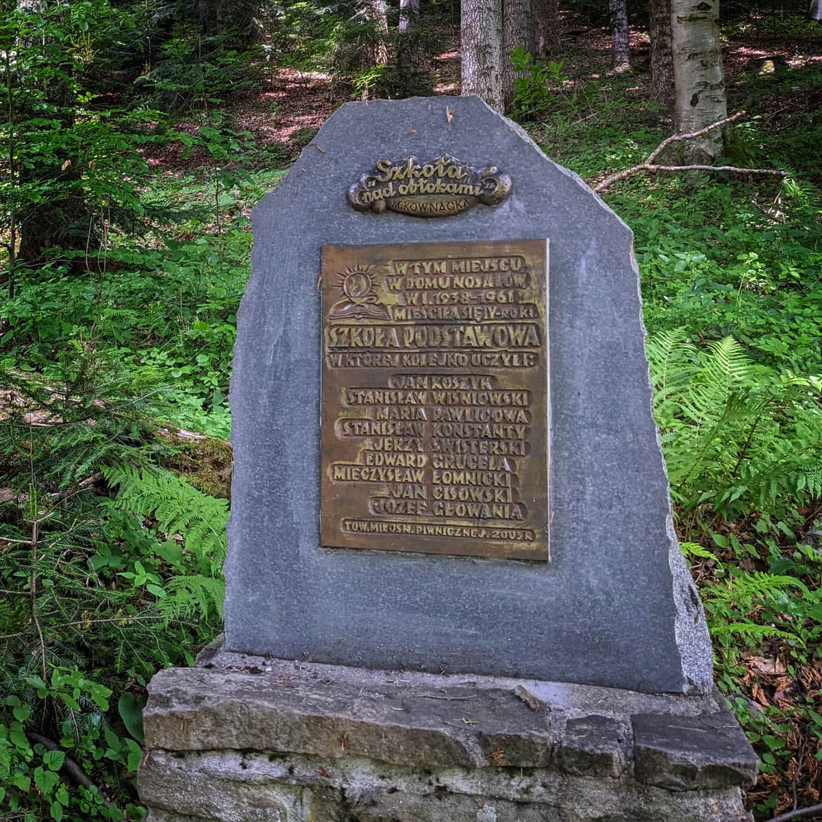
Mountain "School above the Clouds" on Niemcowa - facts and curiosities
The mountain school on Niemcowa, known as the "School above the Clouds" from Maria Kownacka's book, was located on a meadow below the summit of Niemcowa from 1938 to 1961. It was the highest school in Poland (1026 meters above sea level). ...
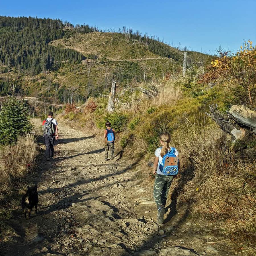
You can also continue down the red trail all the way to Rytro - approximately 1 hour and 40 minutes (and then return to Piwniczna by bus or train). This will be a very scenic trail through the meadows of Niemcowa, Poczekaj, Kordowiec, and Brzozowy Gronik:
Medium
From Rytra to Niemcowa through Kordowiec

In the opposite direction, the red trail will lead us to Radziejowa (1266 m above sea level) - the highest peak of the Beskid Sądecki. It will take less than 2 hours from the trail junction at Niemcowa:
Medium
From Piwniczna Zdrój to Radziejowa

PS. This trail has been included in our list of the most beautiful trails in the Beskid Sądecki. Discover the others:
TOP 5 Beskid Sądecki - the most beautiful scenic trails
Beskid Sądecki is a long forested ridge of the Radziejowa and Jaworzyna Krynicka ranges, rising above the picturesque bends of the Poprad River. Here, you will find kilometers of hiking trails, lookout towers, and vast meadows with beautiful panoramas. Which routes offer the most stunning views? ...
Publish Date: