Radziejowa from Jaworek - red trail
Nearby: Szczawnica| Distance | 8.8km |
|---|---|
| Time | 4h 5min |
| Ascents | 754m |
| Descents | 101m |
wb_sunny Route in the sun
directions_car Access by car
directions_bus Can be reached by bus
The red trail from Jaworek to Radziejowa through Wielki Rogacz is a very scenic route. There are expansive meadows along the way, plenty of sunshine, and quite a bit of climbing. At the destination, there is a tower with breathtaking panoramic views.
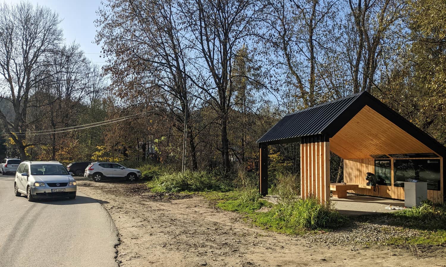
Starting point of the trail to Radziejowa in Jaworki
The most convenient way to reach the parking lot at the entrance to Biała Woda Reserve (paid, with toilets) is by car. Alternatively, you can park earlier in Jaworki at the free parking lot (marked in the route map above).
For a while, we walk along an asphalt road, always accompanied by the yellow trail to Biała Woda Reserve:
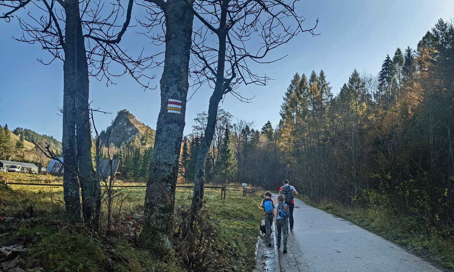
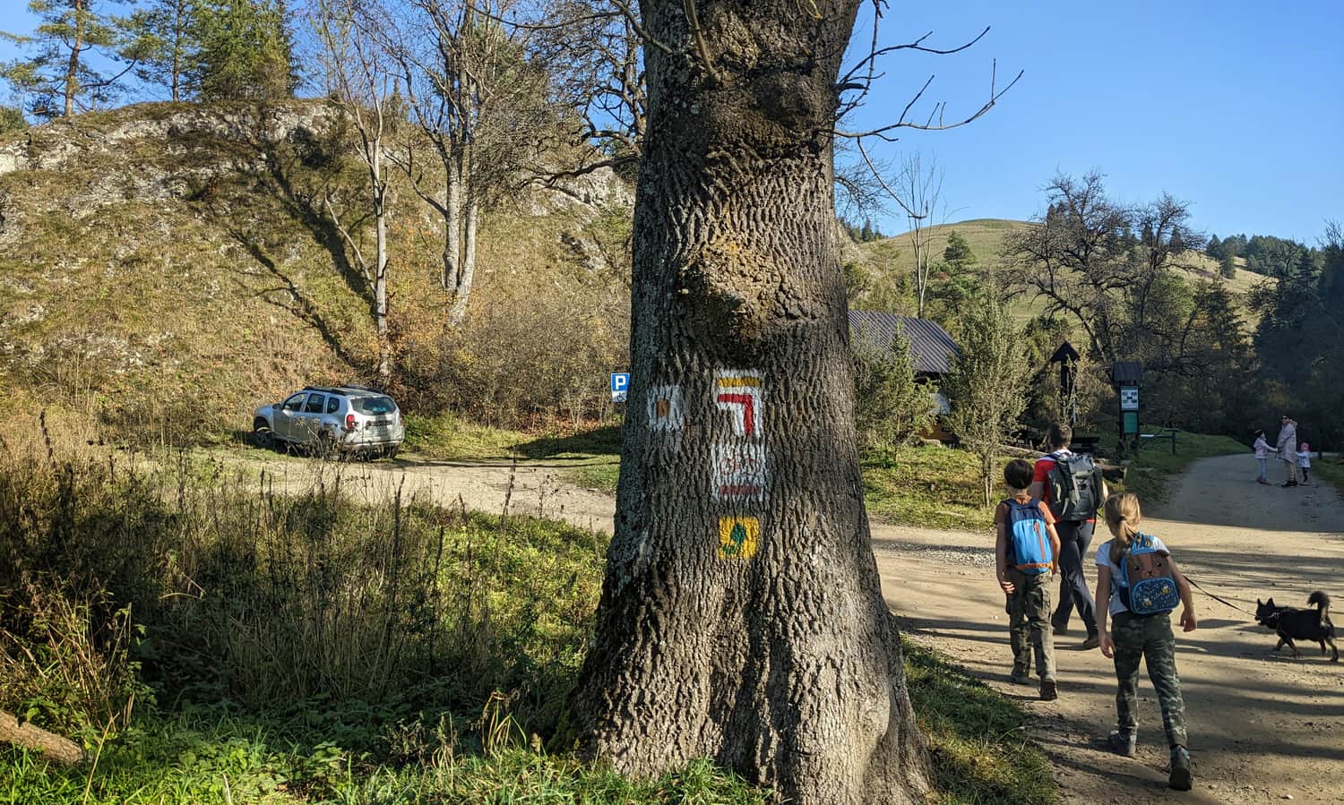
We turn left only at this shelter:
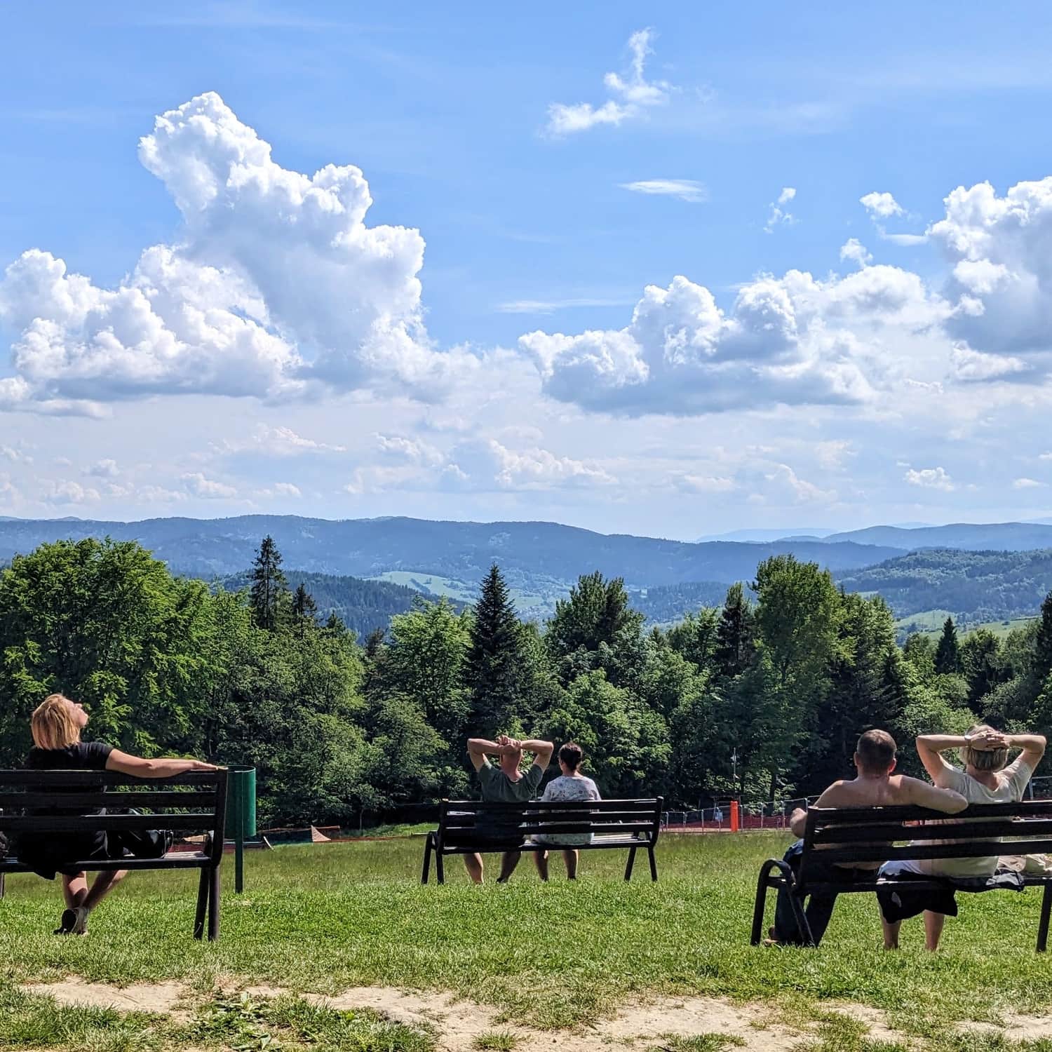
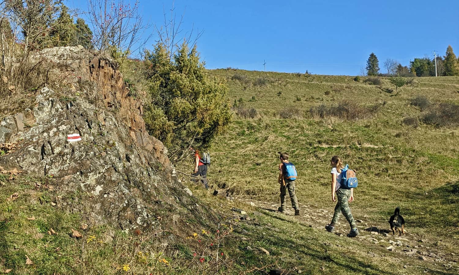
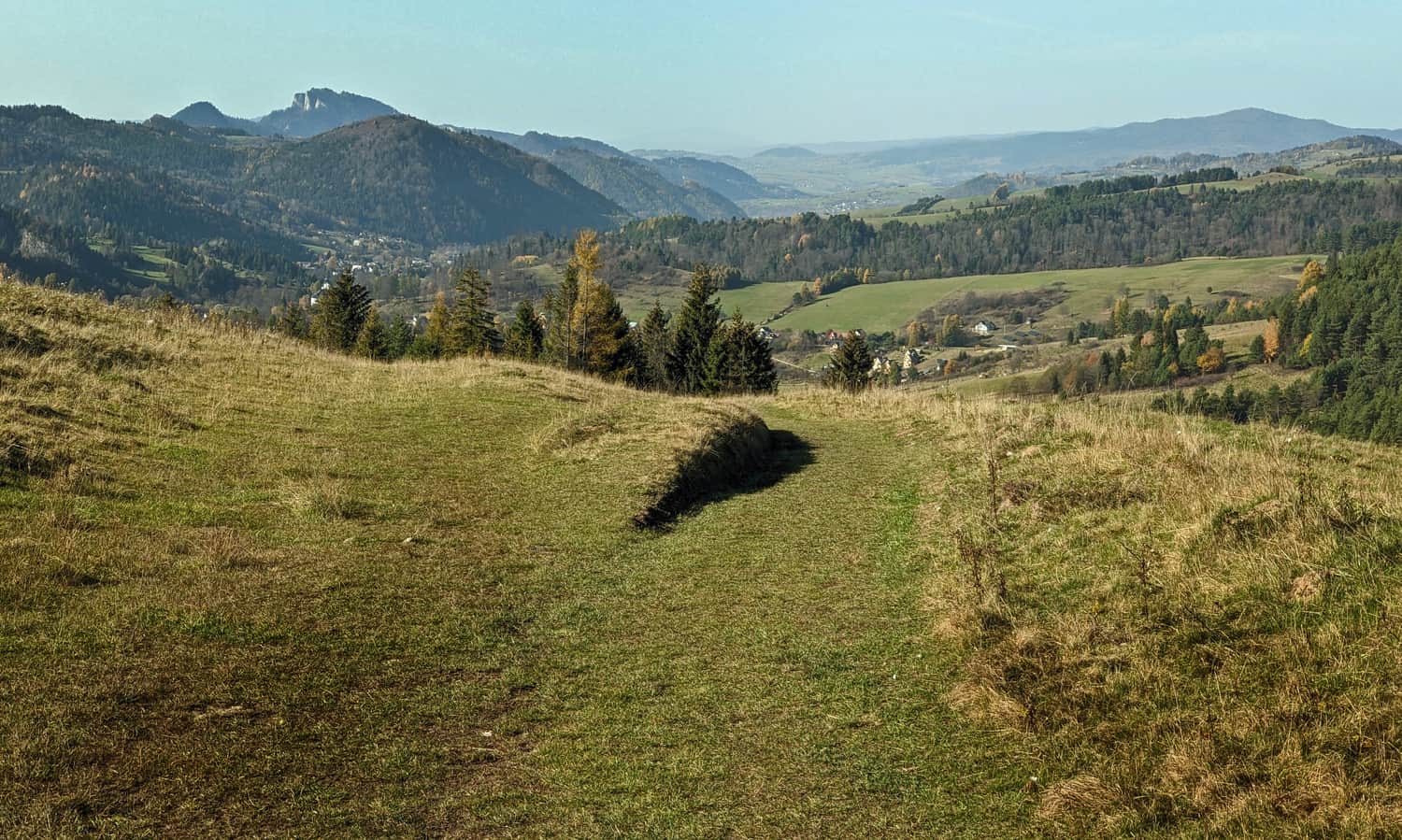
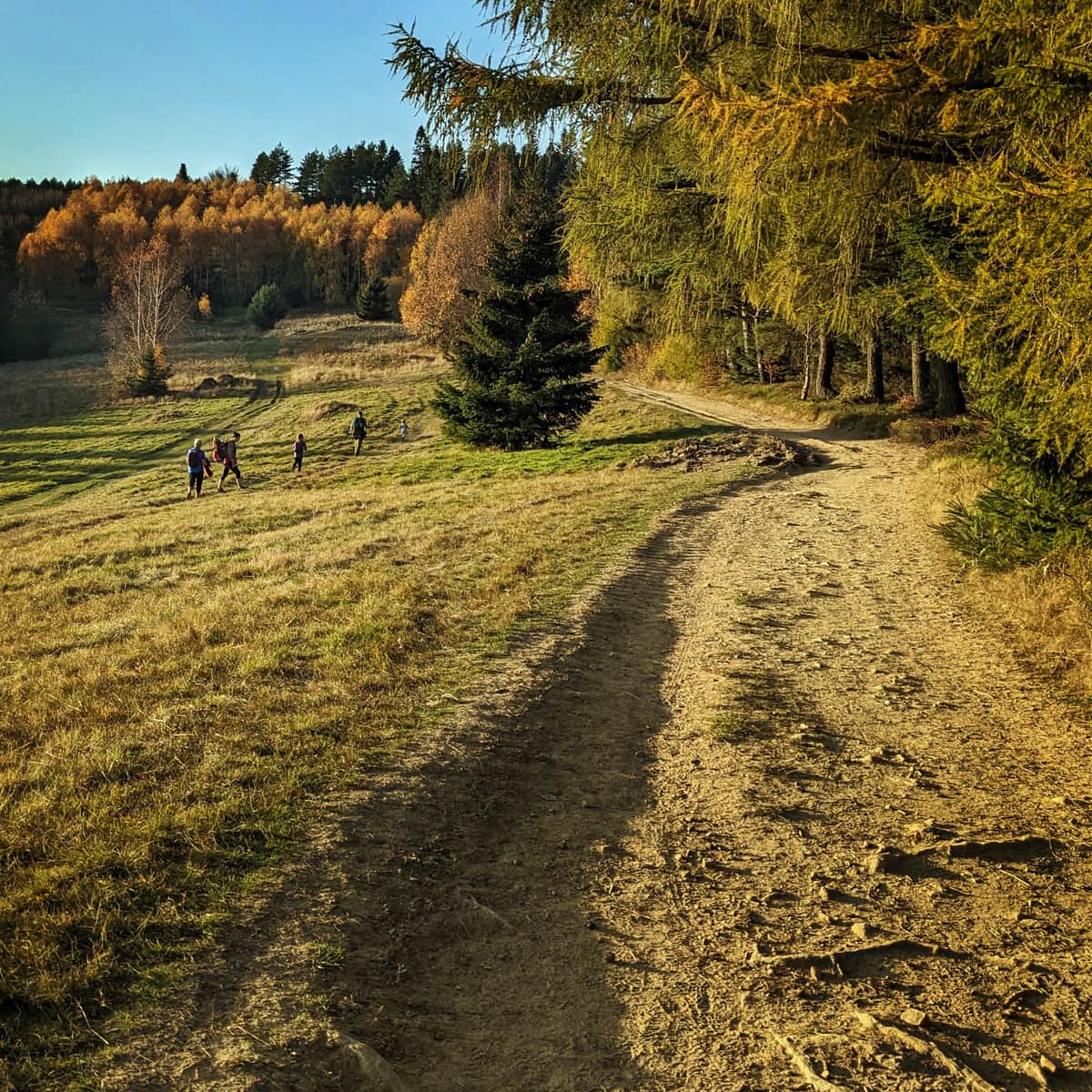
Scenic meadows above Jaworki
The first part of our climb consists of sunny meadows above Jaworki. Yes, it can be tiring, especially on a sunny day, but it's worth it!
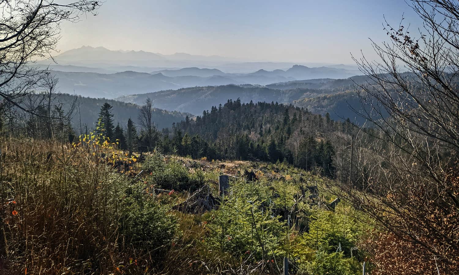
Soon, we will see Biała Woda Reserve from above, the range of the Small Pieniny with Wysoka, Trzy Korony shining with white rocks, the dark massif of Lubań on the right, and far in the background, the barely visible Babia Góra.
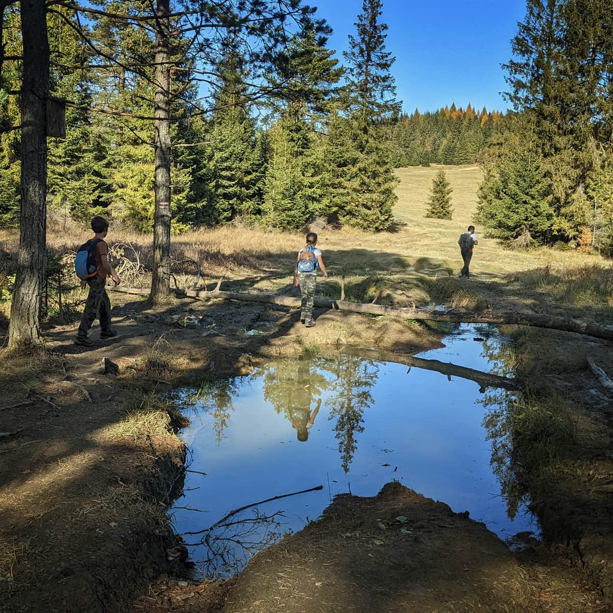
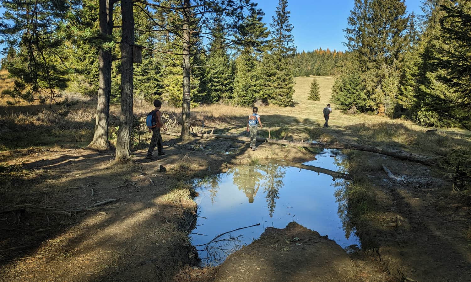
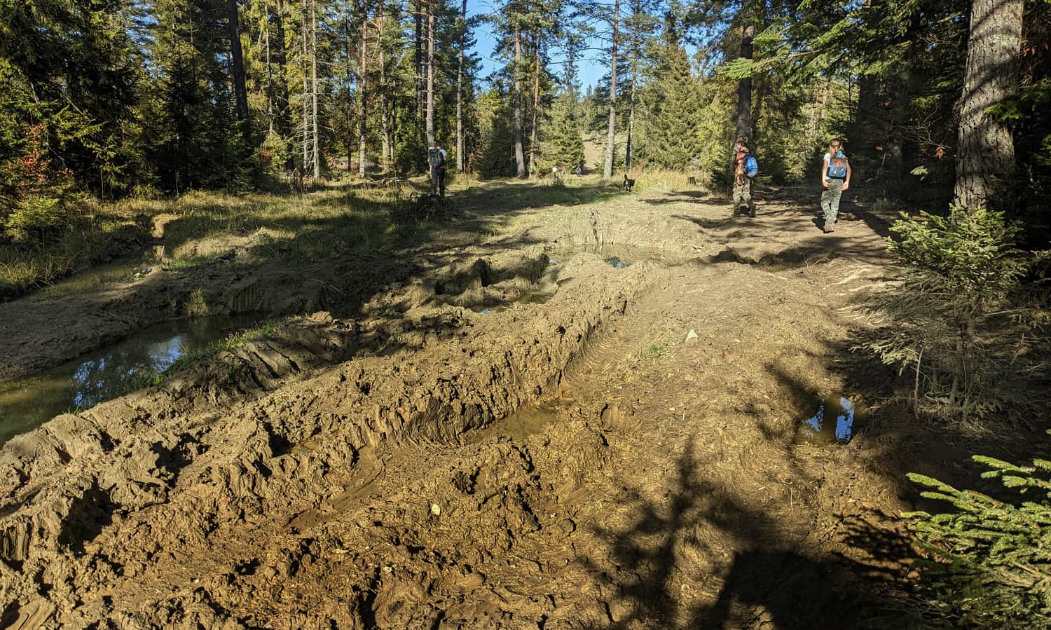
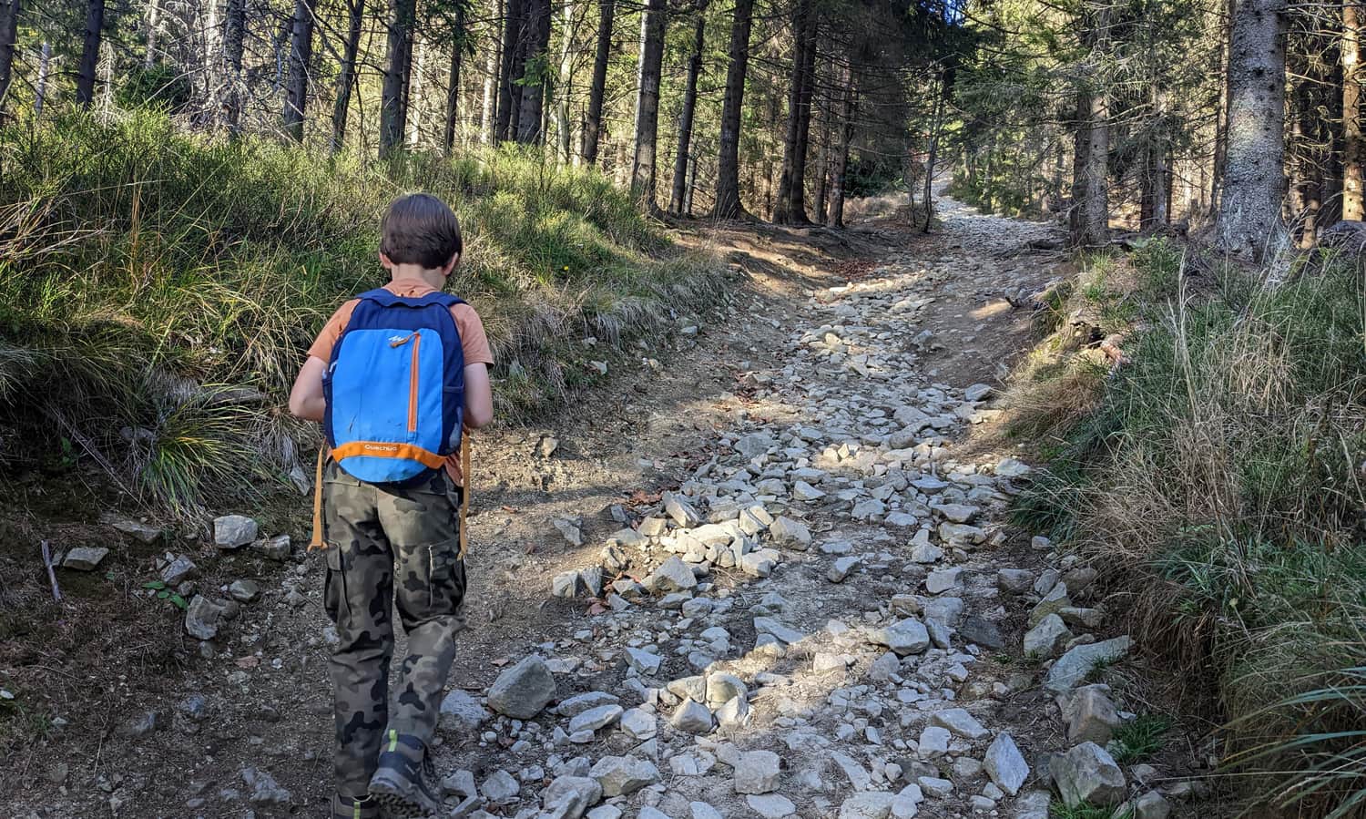
In a moment, we will rest in the forest: there will be more shade, and the road will be wide, even, with minimal incline. The only obstacle here might be mud...
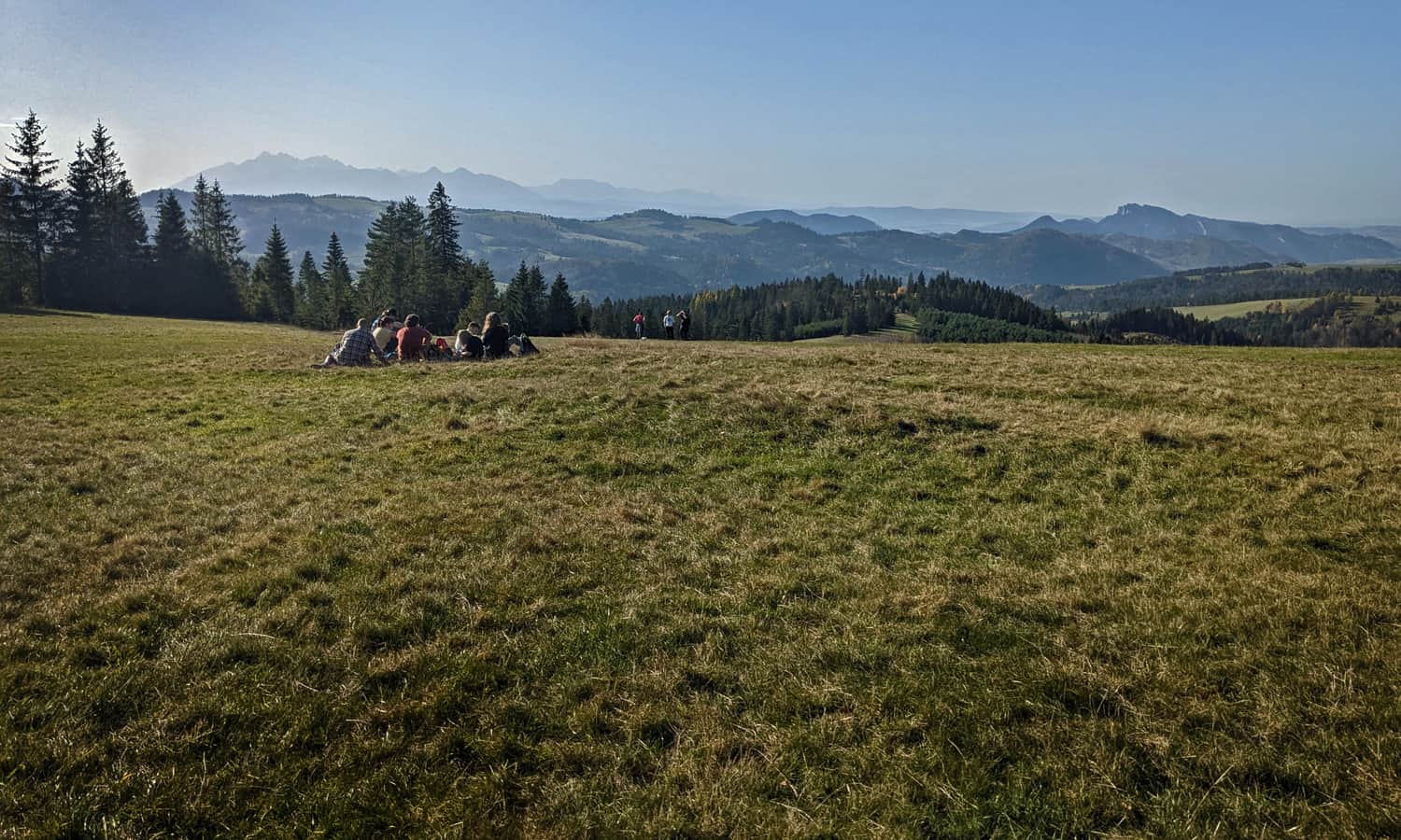
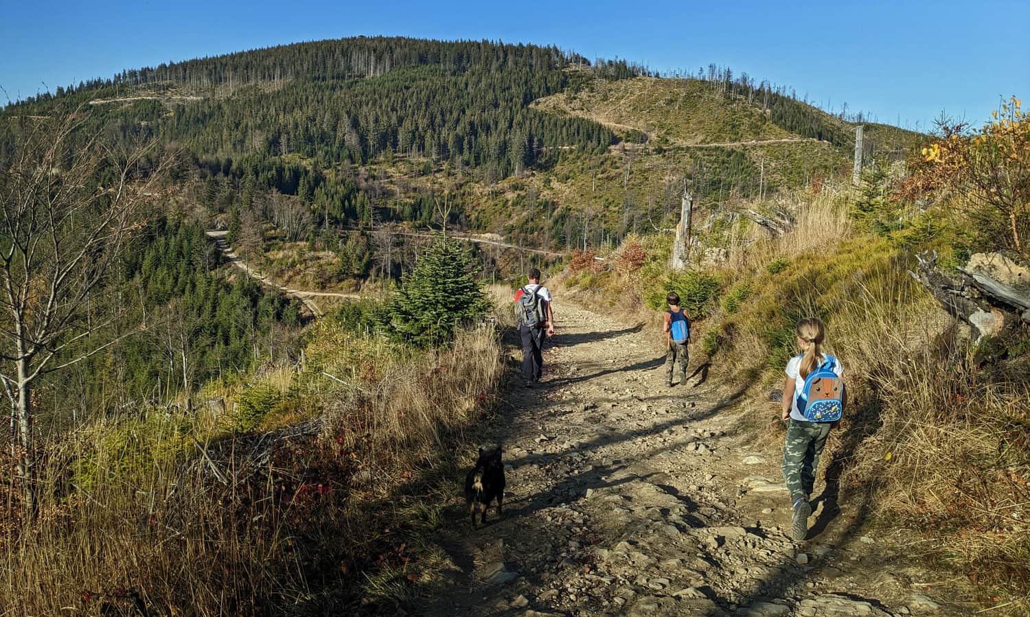
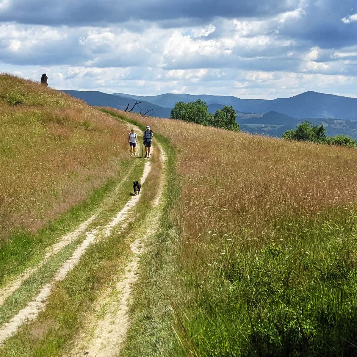
Scenic meadow below Ruski Wierch
More views, but different this time, with the High Tatras in the lead, await us on the vast meadow below Ruski Wierch. It's worth taking a longer break here, especially since a climb awaits us soon...
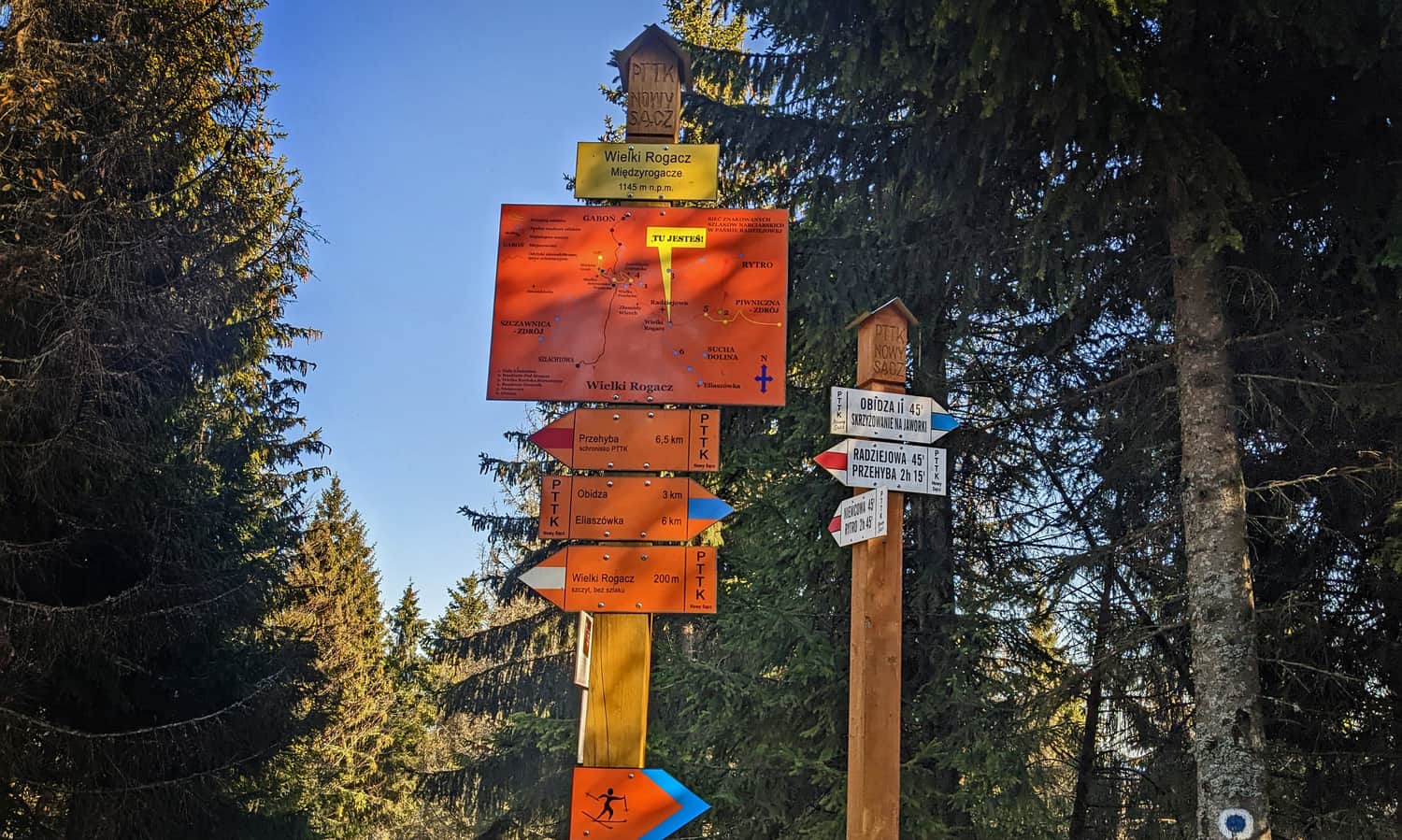
Blue trail to Wielki Rogacz
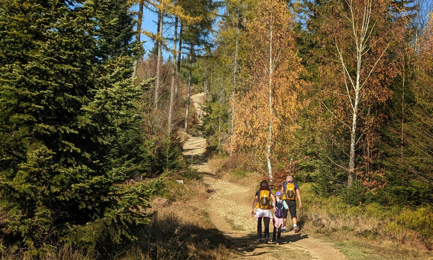
Ahead of us is a stretch of forest walk and a change of trail: the red markers descend to Piwniczna, while we turn left and start the ascent to Wielki Rogacz on the blue trail.

Now the path will become narrower, rocky, and above all steep, and on a cloudless day, it will be strongly sunny as well. This is another challenging moment on the way to Radziejowa...
Red trail Wielki Rogacz - Radziejowa
On the forested summit of Wielki Rogacz, we can catch our breath in the shade, this time without any special views. Here, we end our adventure with the blue trail and rejoin the red trail:
After the summit of Wielki Rogacz, we will have a moment of calmer walking without climbing. And once again, we will see the Tatra Mountains! Again, in the company of the ridges of the Small Pieniny and the Proper Pieniny with the characteristic silhouette of Trzy Korony.
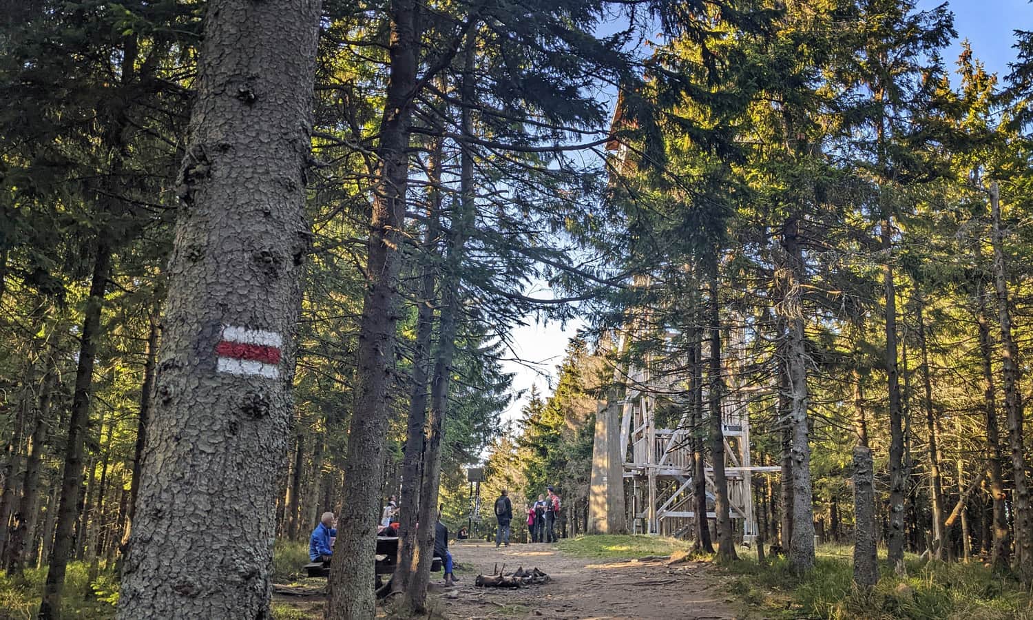
From this spot, we can also see our destination: the forested ridge of Radziejowa with the observation tower barely protruding above the treetops:
Ascending Radziejowa on the red trail
After resting on the wide, comfortable road from Przełęcz Żłobki, a difficult section awaits us: a short (0.8 km), but very steep (with a height difference of 150), ascent to the summit of Radziejowa. This is a test of our strong will: do we really want to conquer the highest peak of the Beskid Sądecki? It's not easy, but we won't give up just below the tower!
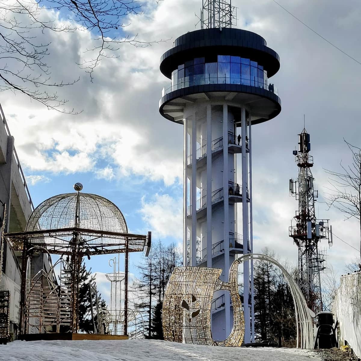
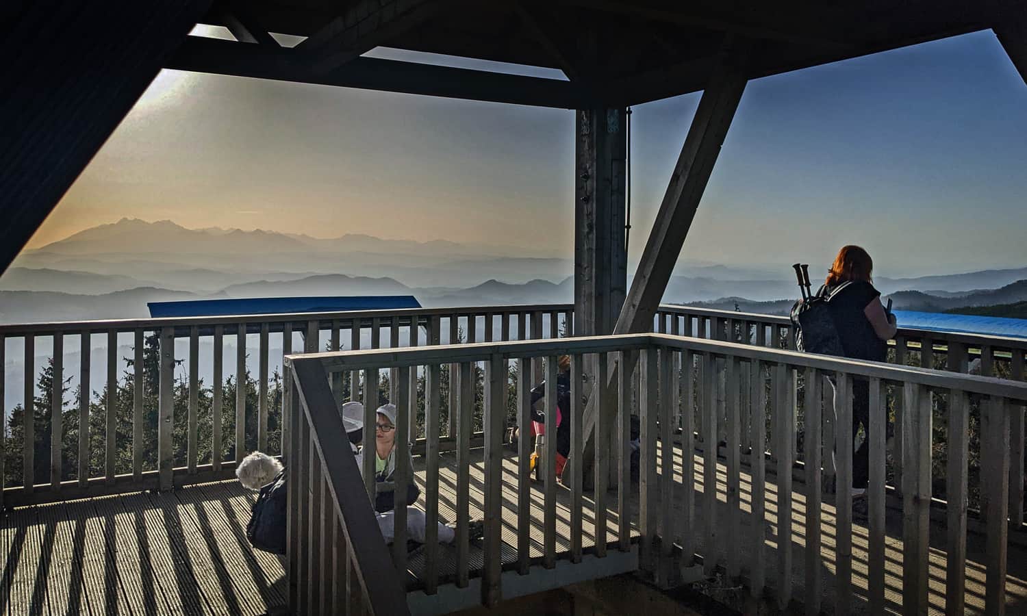
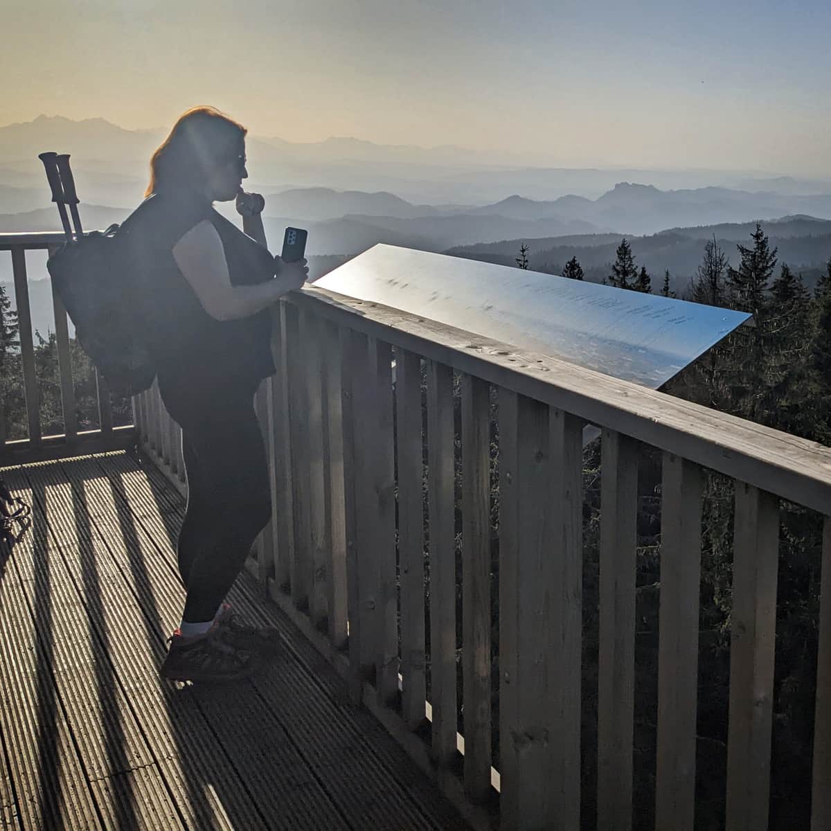
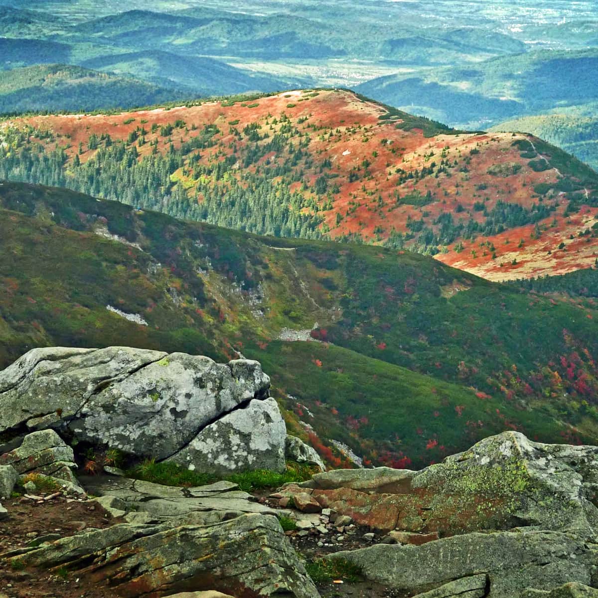
Observation tower on Radziejowa
How fortunate that there is a tower! Otherwise, we wouldn't see anything from the forested summit...
The metal structure lifts us above the treetops and reveals a panorama of all four cardinal directions: the Tatras and Pieniny to the south, the Gorce to the west, the Beskid Sądecki and mysterious Slovak hills to the east!
More information about the summit of Radziejowa, the observation tower, as well as alternative routes to avoid the steep section at the top and other trails:
Radziejowa - all trails and observation tower
Radziejowa is the highest peak in the Sądecki Beskids (1266 m above sea level), included in the Crown of Polish Mountains and the Crown of the Beskids. Thanks to the new observation tower on the forested summit, we can enjoy a panorama of the Tatras, Pieniny, Gorcys, and the Beskids. ...
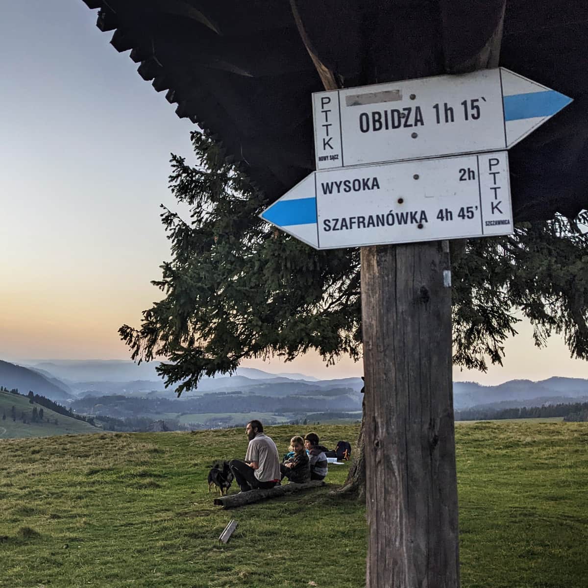
Back to Jaworek, we can return the same way - it should take us about 2-2.5 hours downhill to reach the starting point of the trail.
If we have more time, we can make a loop on the blue trail through Obidza, Przełęcz Rozdziela, and the yellow trail through Biała Woda Reserve - descending from Radziejowa this way will take us about 3 hours.
Described here are the "entrances using these trails"
Medium
Obidza via Biała Woda from Jaworki

Medium
From Obidza to Radziejowa Peak

PS. This route has been included in our list of the most beautiful trails in the Beskid Sądecki. Discover the others:
TOP 5 Beskid Sądecki - the most beautiful scenic trails
Beskid Sądecki is a long forested ridge of the Radziejowa and Jaworzyna Krynicka ranges, rising above the picturesque bends of the Poprad River. Here, you will find kilometers of hiking trails, lookout towers, and vast meadows with beautiful panoramas. Which routes offer the most stunning views? ...
...and in the article "Beautiful scenic trails in the Beskidy Mountains". Here are the rest of them:
Beautiful Scenic Trails in the Beskids
Beskidy is not just forests! It's also scenic meadows and open ridges, offering breathtaking panoramas of the entire mountain range! ...