From Piwniczna Zdrój through Hala Pisana to Hala Łabowska
Nearby: Nowy Sącz| Distance | 12.1km |
|---|---|
| Time | 5h 13min |
| Ascents | 881m |
| Descents | 224m |
wb_sunny Route in the sun
restaurant Restaurant or bar nearby
directions_car Access by car
train Access by train possible
wc Toilet along the route
The trail from Piwniczna Zdrój to the PTTK shelter on Hala Łabowska is a quite long but very scenic route that leads through picturesque meadows in the Jarzębaki neighborhood above Łomnica Zdrój.
Starting point of the yellow trail from Piwniczna Zdrój to Hala Łabowska
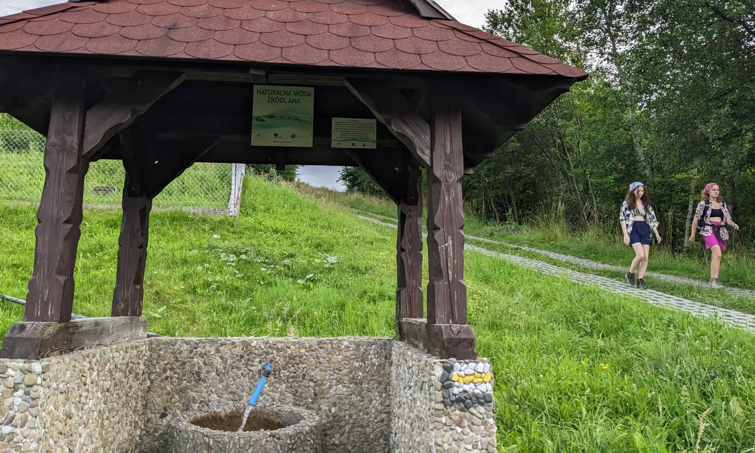
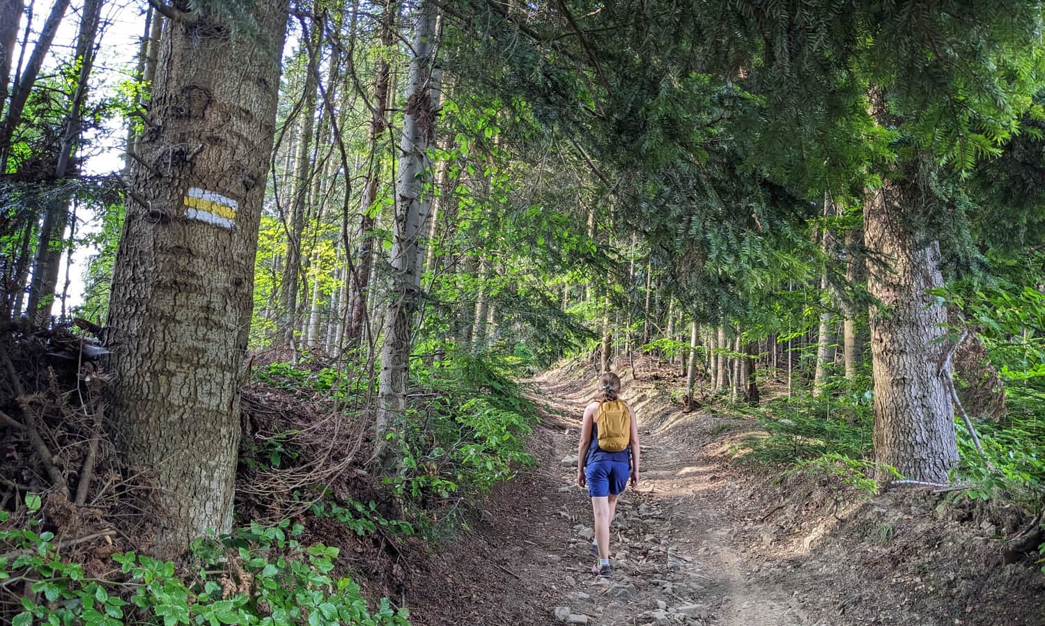
You can enter the yellow trail in the center of Piwniczna-Zdrój (at the Market Square), at the train station, or near the Spa Park by the Poprad River (parking area). If you want to shorten your hike on the asphalt road, you can also drive to the spring (see map) and leave your car in the bay. This way, you will reduce the distance by about 2 km and 40 minutes of walking.
From Piwniczna to Jarzębaki
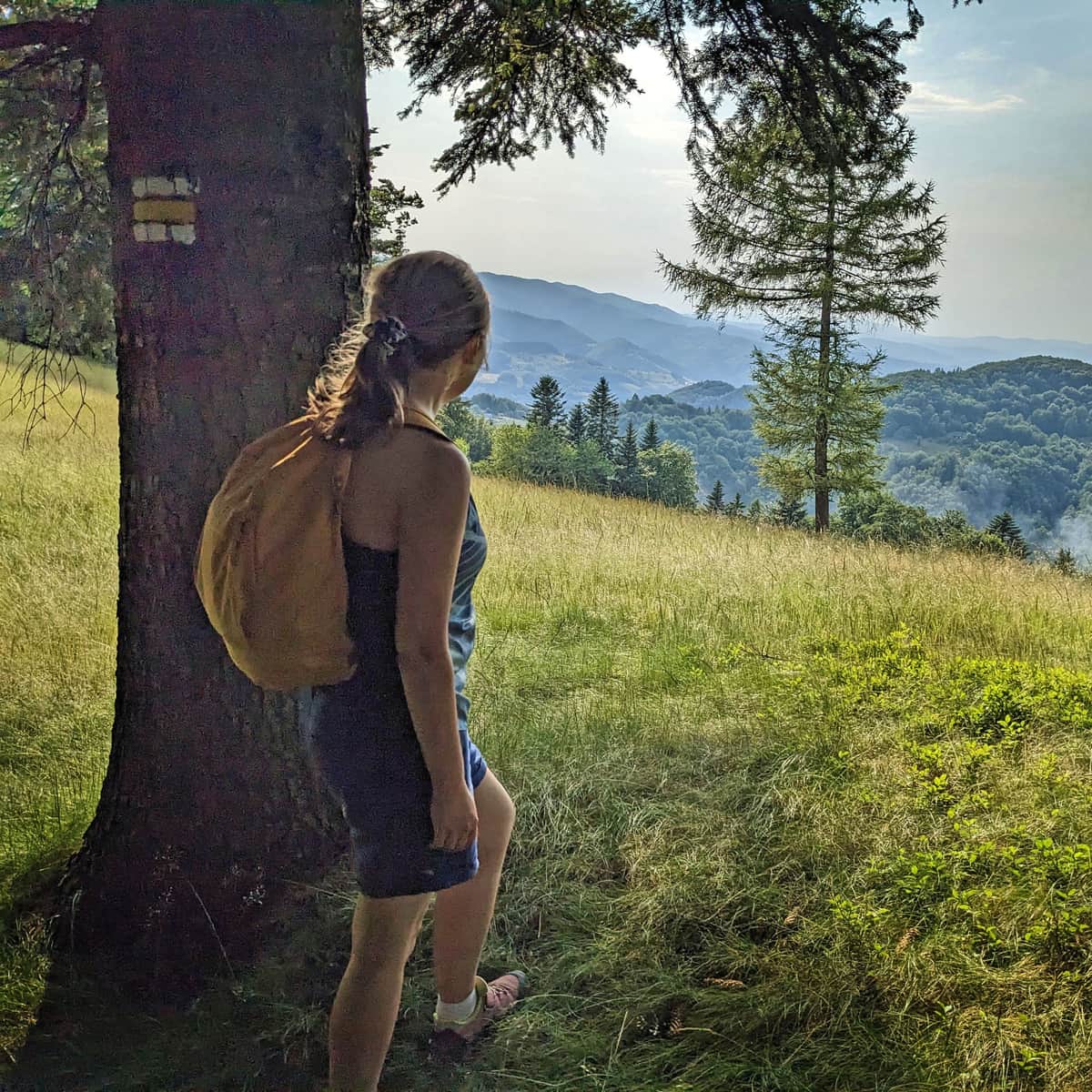
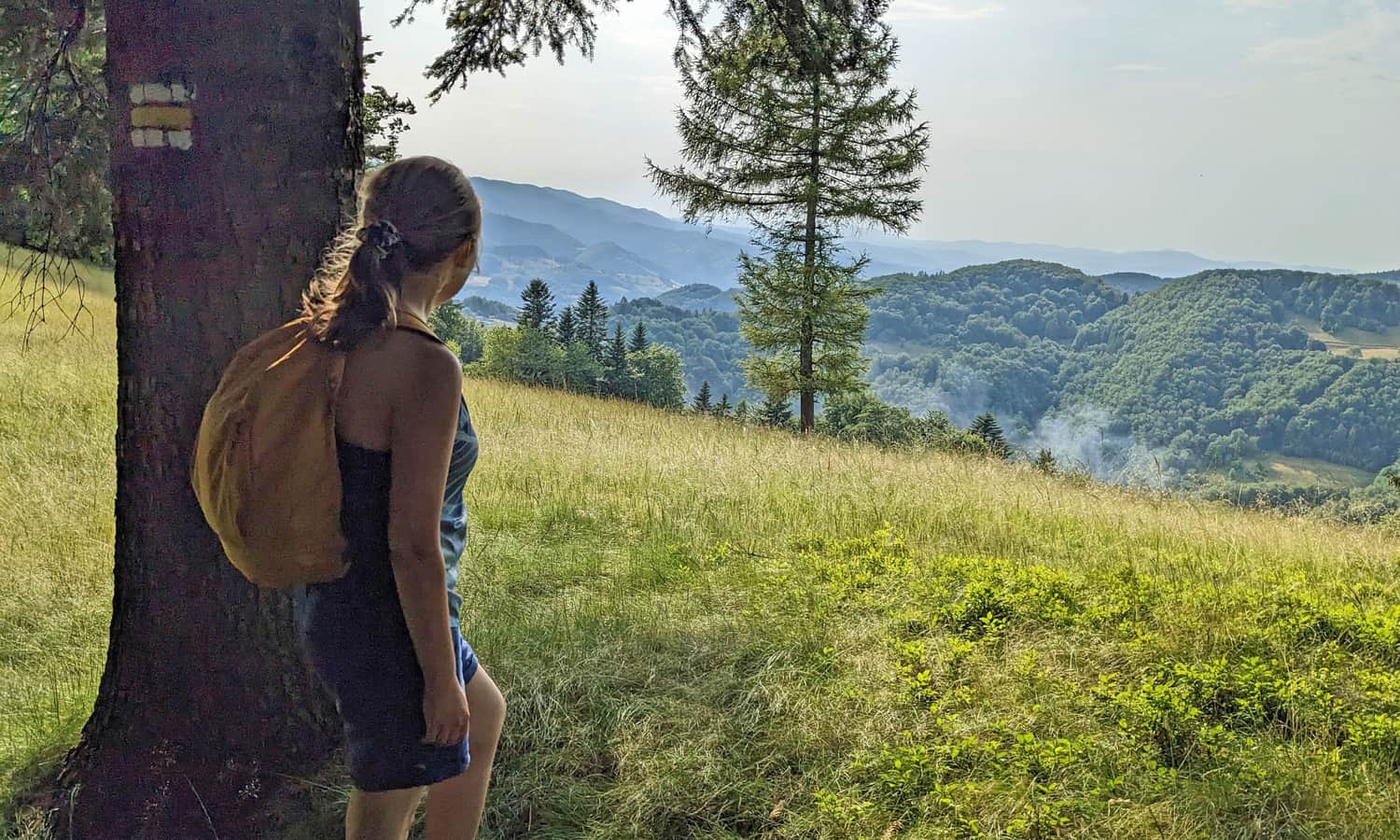
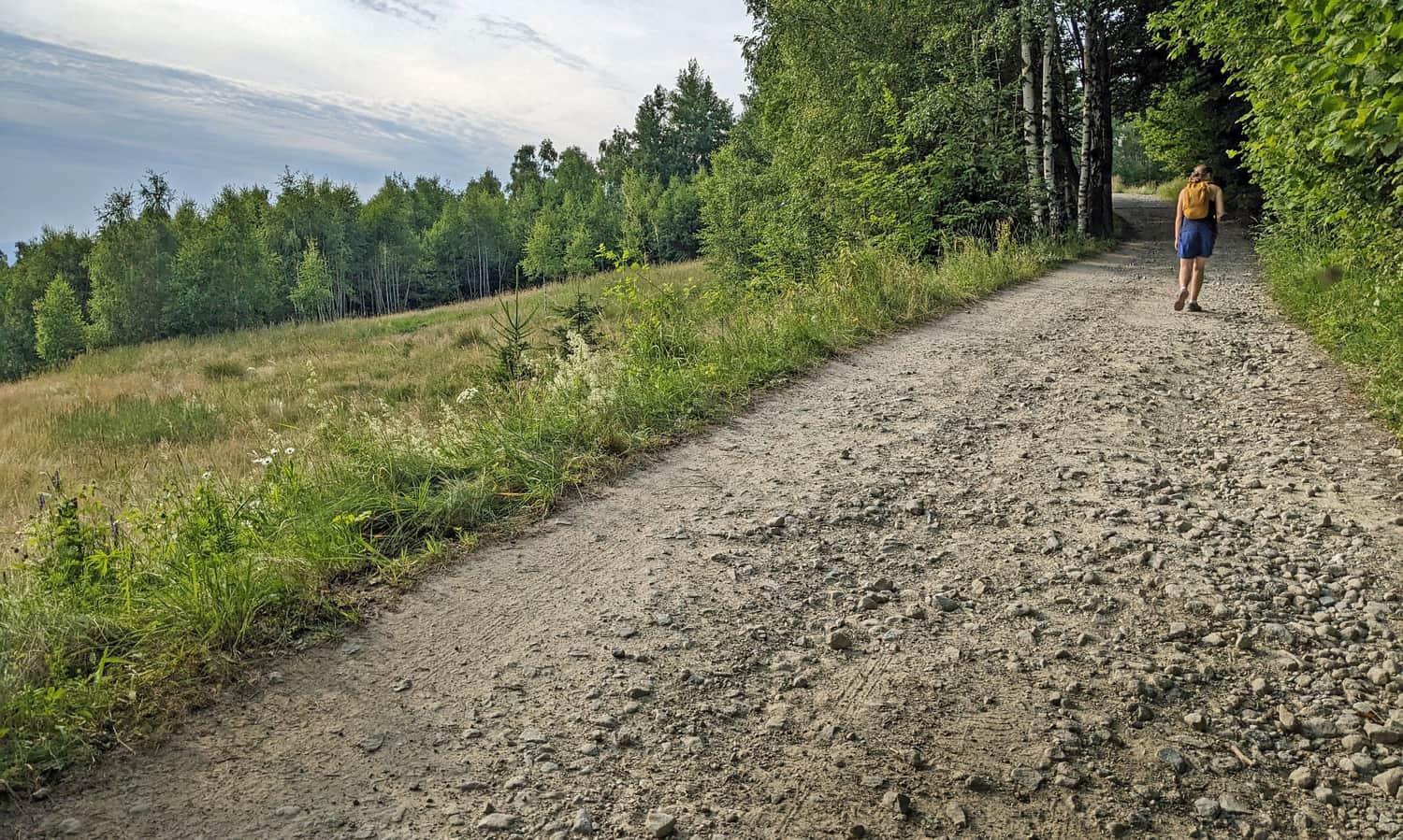
The first part of our hike is an ascent, first on an asphalt road, then on a concrete and stony path to the Jarzębaki neighborhood above Łomnica Zdrój. Along the way, we pass a spring with delicious cold spring water.
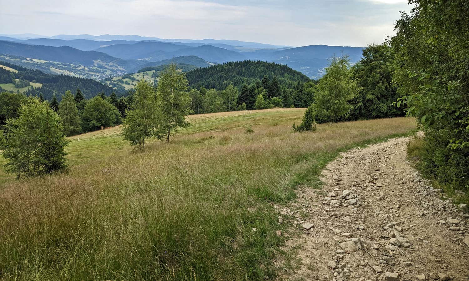
The road goes uphill quite steeply, mostly through meadows or along the edge of the forest. However, gradually, wider panoramas of the Poprad Valley and the neighboring Radziejowa Range open up to us.
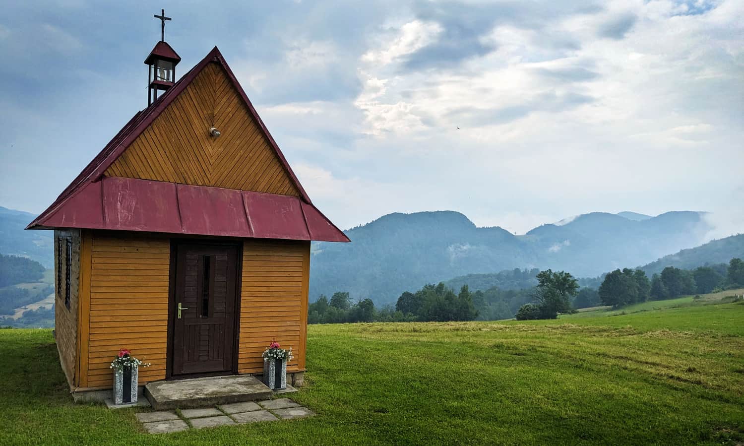
Jarzębaki Settlement - Views and Chapel
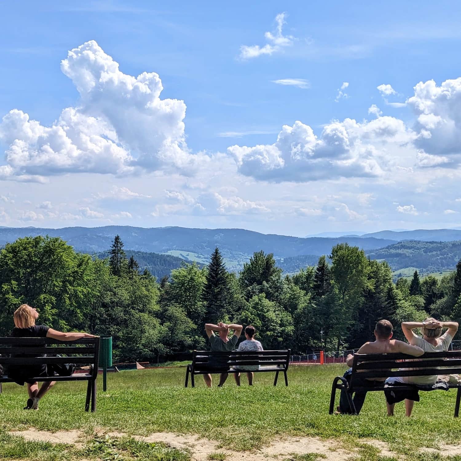
After about 1.5 hours of climbing, we will reach the picturesque Jarzębaki neighborhood. The views that unfold both to the west and east are so beautiful that it is worth planning a longer break here, for example, by the atmospheric chapel.
From Jarzębaki to the Ridge of Pasma Jaworzyny Krynickiej
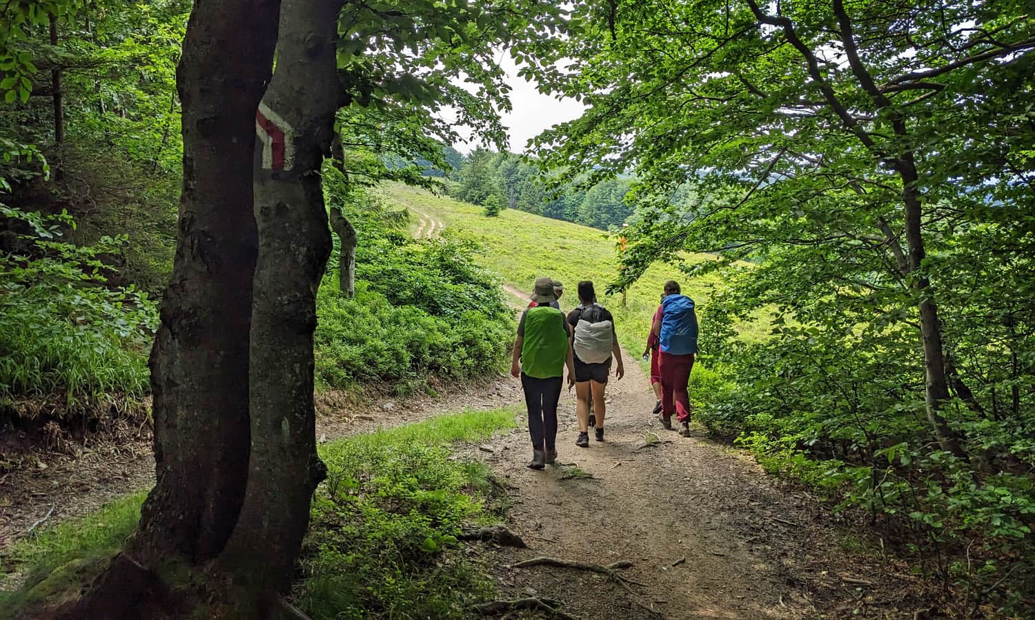
After resting on the wide meadows in the Jarzębaki settlement, it's time for the next stage of the ascent. As we enter the forest, the terrain becomes steeper.
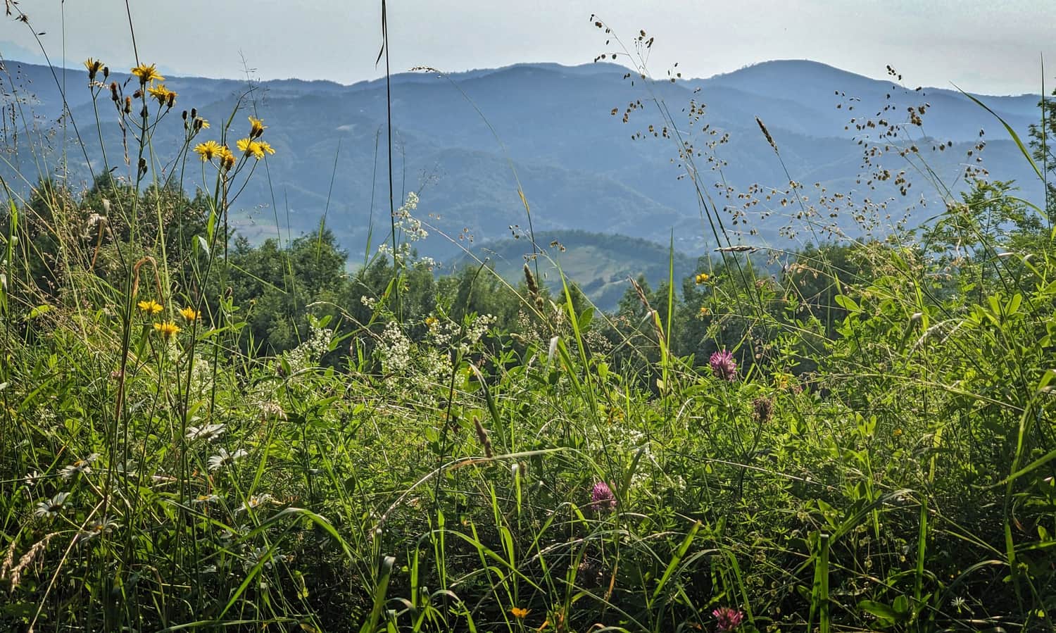
On this wooded section, there are also scenic clearings waiting for us, and as we ascend higher, the view also changes. It's worth turning around from time to time - from Hala Szałasy Jarzębackie and Hala Bukowina, on a clear day, we can even see the sharp peaks of the Tatra Mountains!
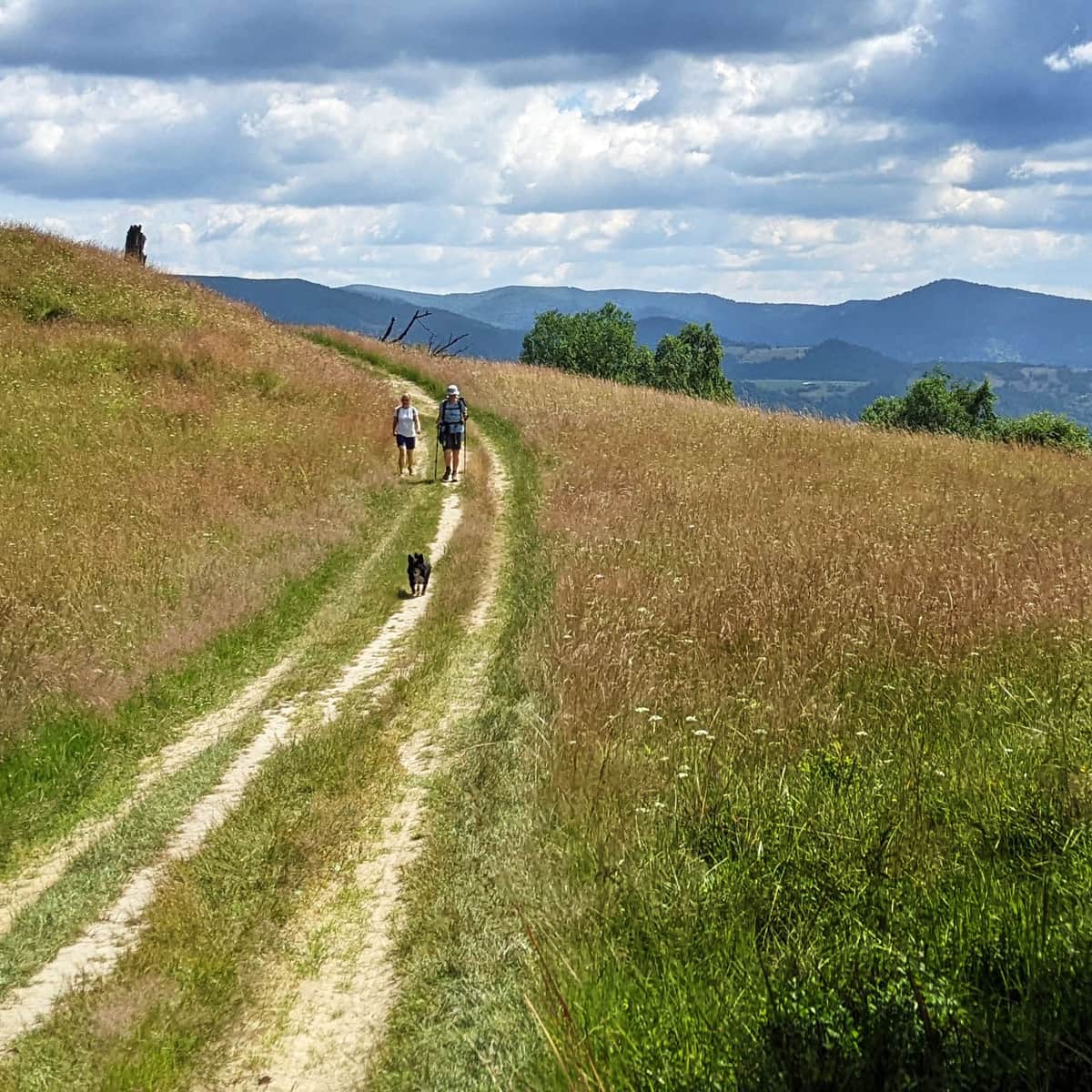
Red trail: Przełęcz Bukowina - Hala Pisana - Czarci Wierch
After reaching the ridge of Pasma Jaworzyny Krynickiej at Przełęcz Bukowina, we turn right and follow the wide forest road marked with red signs of the Main Beskid Trail (our yellow trail will eventually turn left, downhill towards Frycowa).
On this section, there won't be any steep ascents anymore: sometimes slightly uphill, slightly downhill, or completely flat. Occasionally, we will have views to the south (e.g., Hala Pisana) and to the north (Hala Średnia and Czarny Kamień).

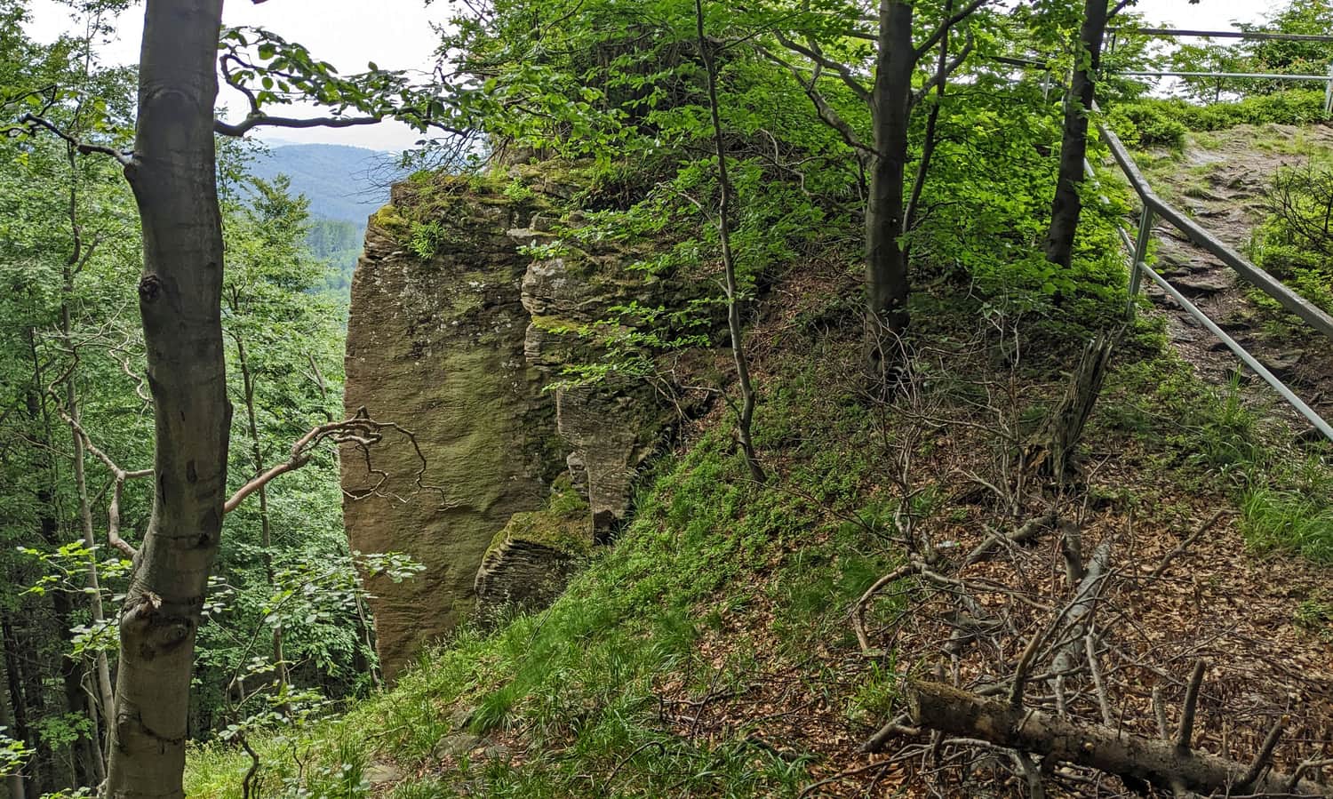
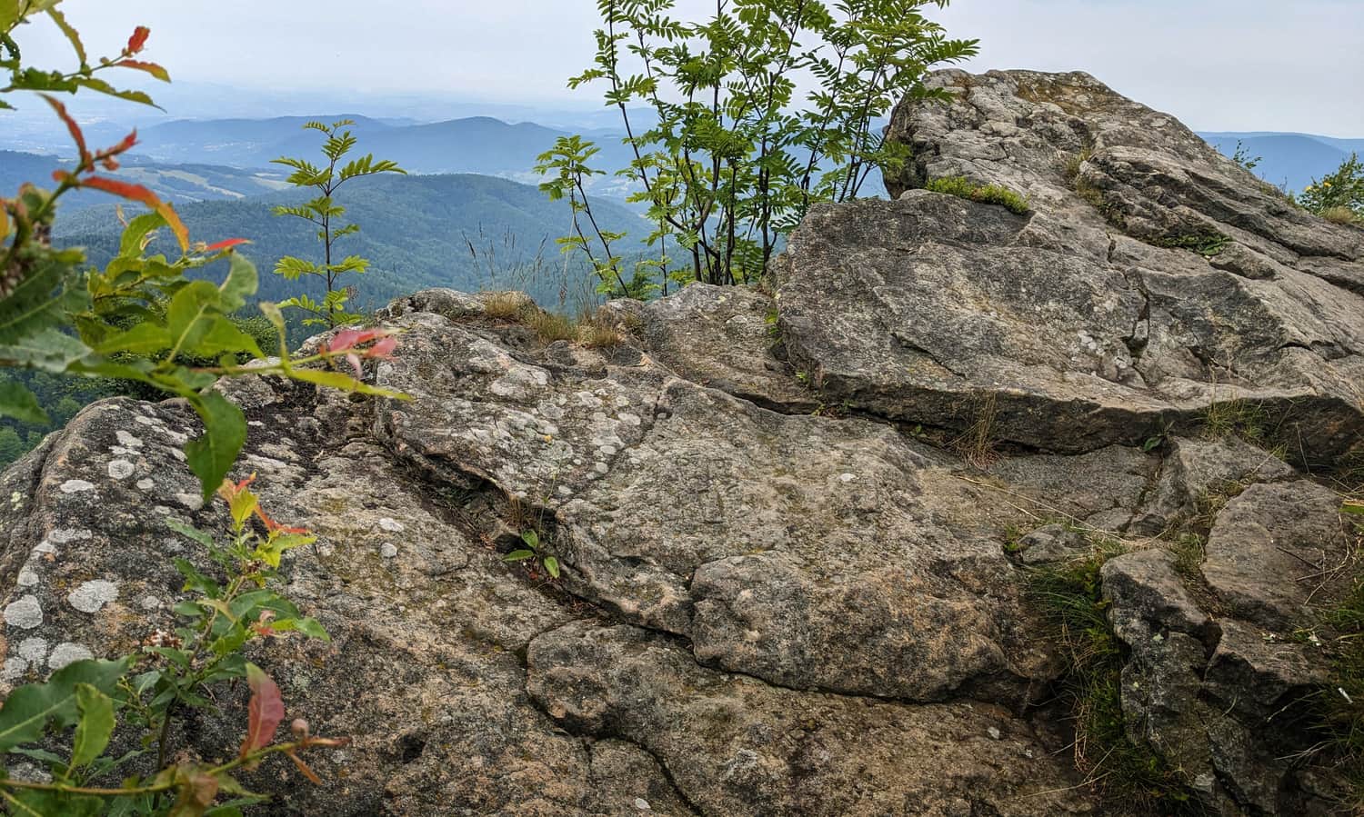
To reach the interesting rock formation called "Czarci Kamień," we need to briefly deviate from the red ridge and follow the signs of the green nature trail (white and green triangle, check the photo locations on the map).
And this is how the rock formation and the view from it look like:
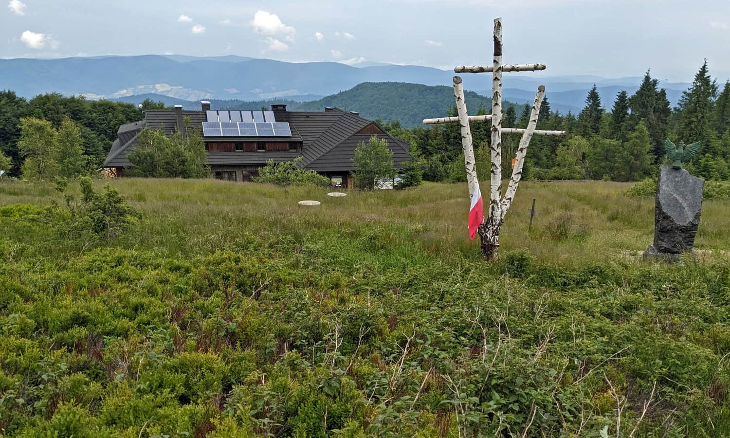
Hala Łabowska and PTTK Shelter
After about 1.5 hours from entering the red trail (or about 2 hours if we detour to Czarci Kamień), we will reach the scenic Hala Łabowska, where the PTTK shelter awaits us, offering home-cooked meals, sweets, and drinks.
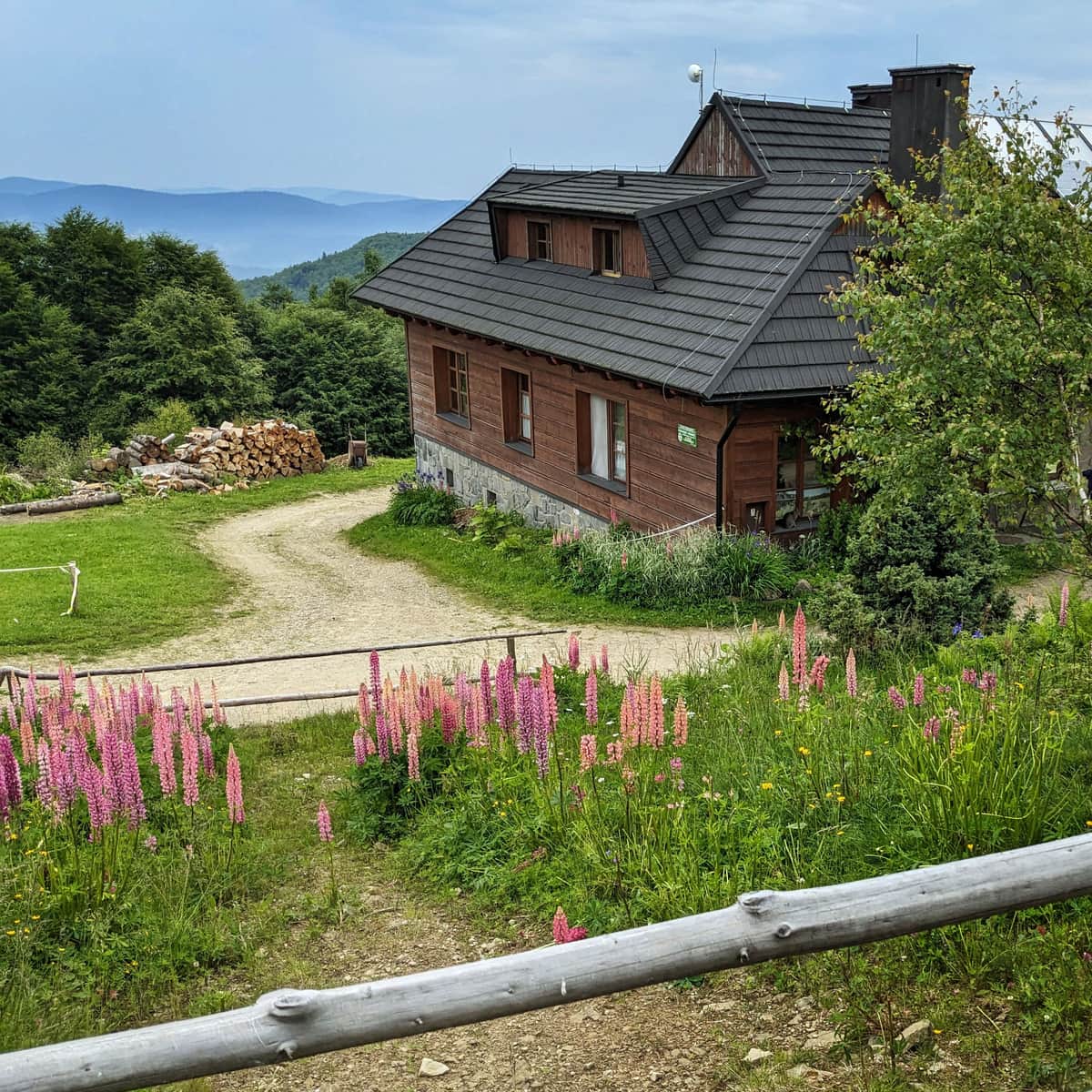
Hala Łabowska - Shelter, Trails, Views, and Fun Facts
The PTTK Shelter on Hala Łabowska is a beautiful place in the middle of the Jaworzyna Krynicka range. Hala Łabowska is a beautiful scenic meadow, and the shelter serves as a resting place on a mountain trail and a starting point for many nearby hiking trails. ...
Back to Piwniczna Zdrój
To return to Piwniczna Zdrój, you can go back the same way - the descent to the center takes about 3.5 hours. Alternatively, for a change, you can descend using the blue trail through the Łomniczanka Valley and Łomnica-Zdrój, and then, via Walczaki and the northern slopes of Kicarz, reach Piwniczna Zdrój - this route takes about 3 hours.
PS. This trail has been included in our selection of the most beautiful trails in the Beskid Sądecki. Discover the rest of them:
TOP 5 Beskid Sądecki - the most beautiful scenic trails
Beskid Sądecki is a long forested ridge of the Radziejowa and Jaworzyna Krynicka ranges, rising above the picturesque bends of the Poprad River. Here, you will find kilometers of hiking trails, lookout towers, and vast meadows with beautiful panoramas. Which routes offer the most stunning views? ...