
TOP 5 Żywiec Beskid - the most beautiful scenic trails
Beskid Żywiecki is a mountain range on the border of Silesian and Lesser Poland Voivodeships, known for its scenic meadows and expansive panoramas. Which trails should you choose for hiking in the Żywiec Beskid?
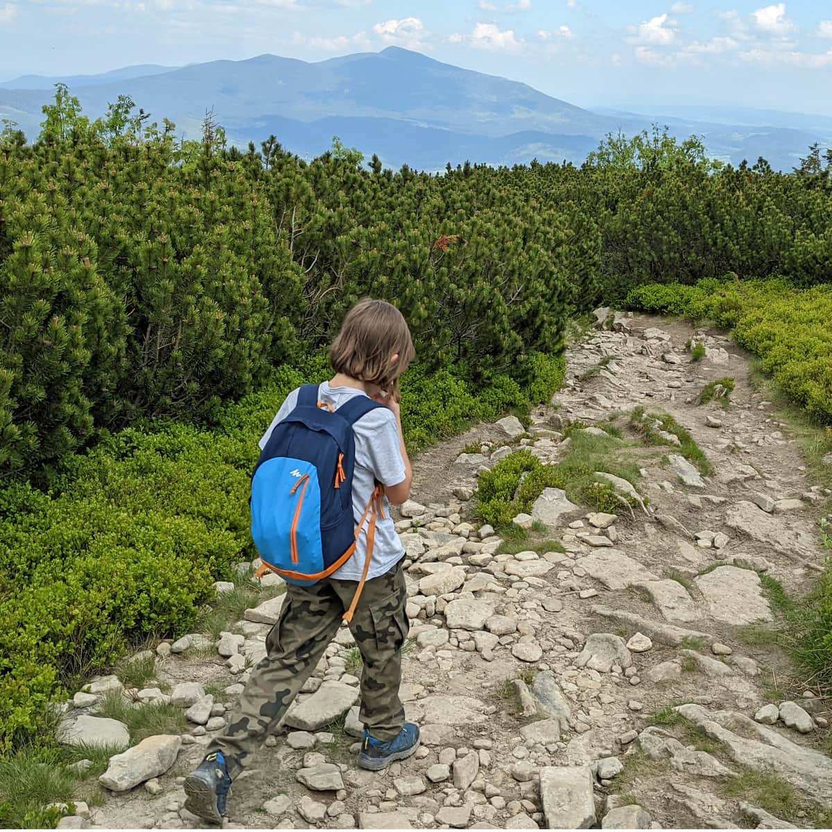
1. Scenic loop around Żabnica
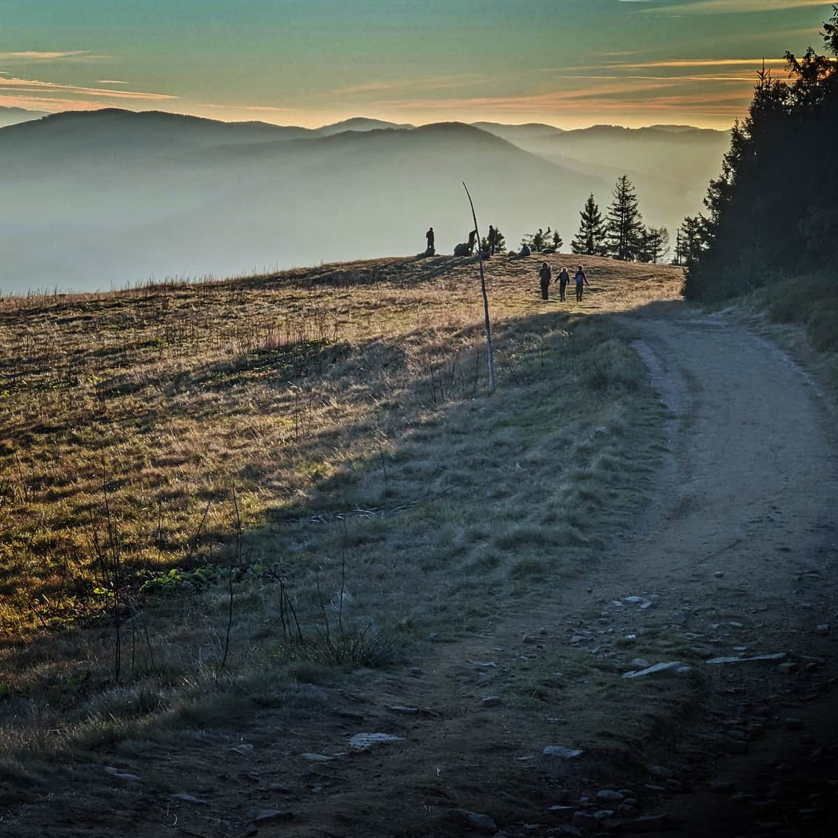
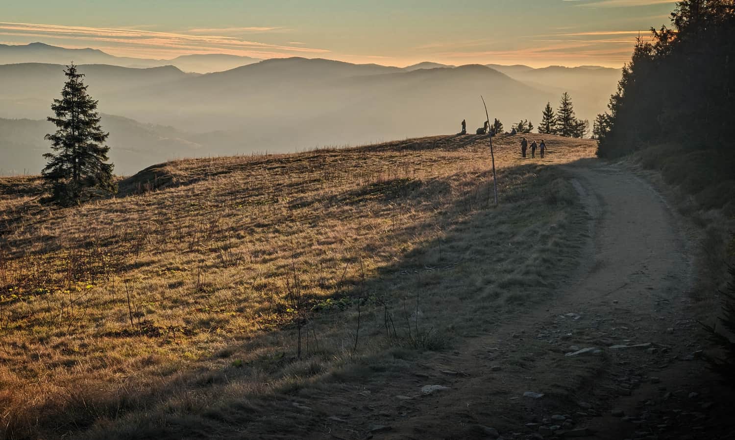
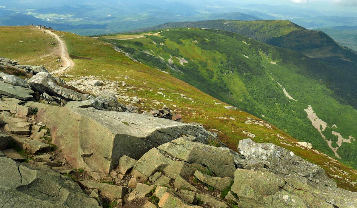
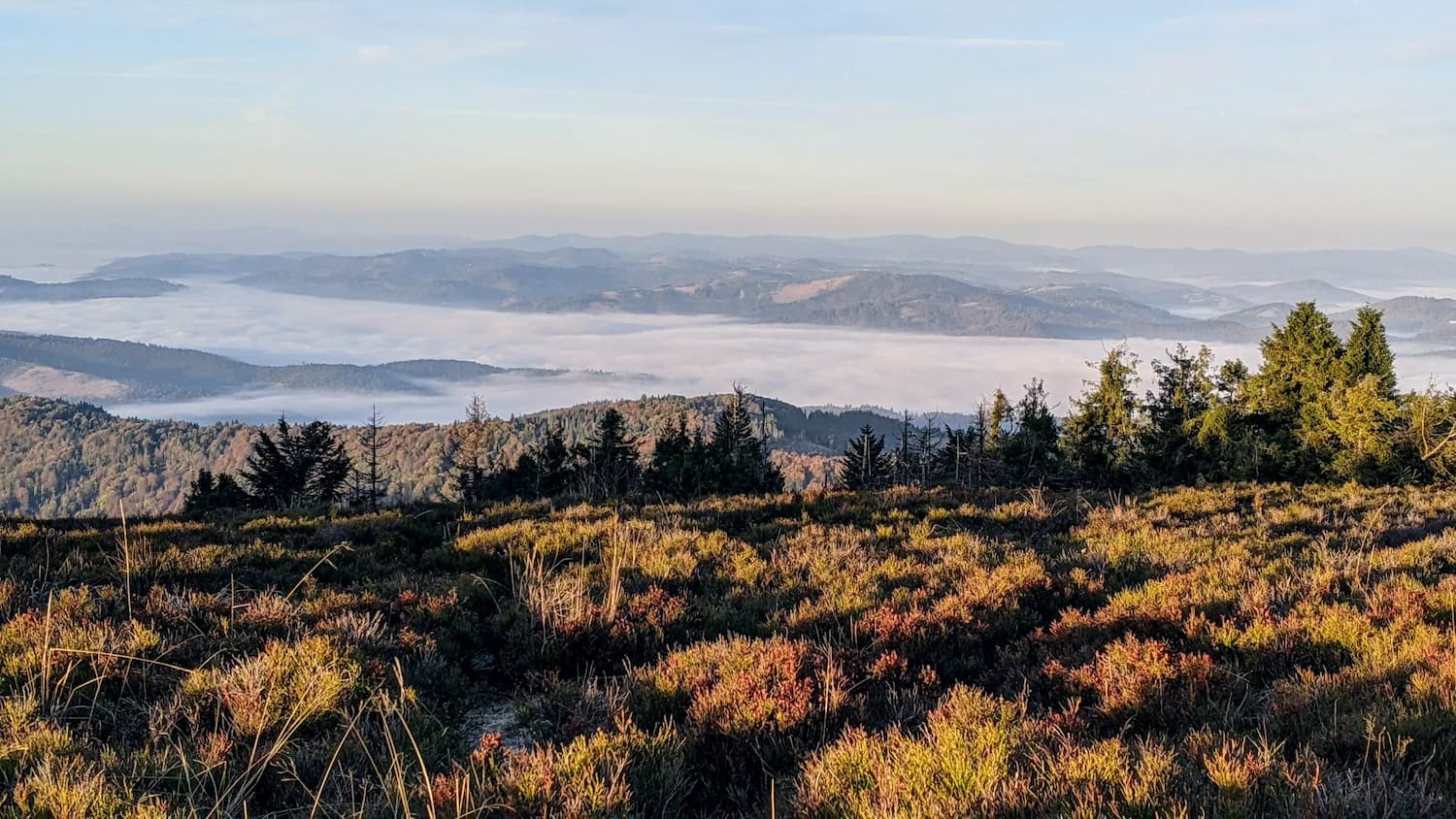
If you're thinking about a scenic route in the Żywiec Beskid, the number one choice must be the loop around Żabnica. This trail takes you through picturesque meadows such as Rysianka, Lipowska, Redykalna, and Boracza. The easiest "minimum version" is the hike from Boracza Meadow to Redykalna Meadow (5 km round trip). The "basic version" is the full loop: Rysianka - Lipowska - Redykalna (16 km), and the "maximum version" includes Słowianka and Romanka (plus from Romanka to Rysianka via Martoszka and Pawlusia Meadow, total: 20 km).
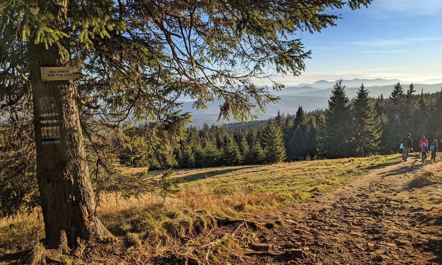
On this trail, you'll pass several mountain huts (Słowianka, Rysianka, Lipowska, Boracza) and numerous scenic meadows!
Medium
Rysianka, Lipowska, Redykalna, Boracza Hall - loop from Żabnica

2. Loop to Babia Góra
Babia Góra (1725 m above sea level), also known as the Queen of the Beskids, offers panoramas of the entire surrounding Carpathian world. Unfortunately, unpredictable weather at the summit may result in seeing only fog instead of the expected "views"... Another downside is the high traffic on the most popular trail from Krowiarki to Babia Góra (plus descent through Brona Pass to the Markowe Szczawiny hut and return via the blue trail).
If you're eager to conquer the highest peak in the Polish Beskids and at the same time traverse the entire scenic ridge from Diablak (the highest summit of the massif) to Cyl, also known as Mała Babia, we recommend the route on the Slovak side:
Difficult
Babia Góra from Slovakia - loop through Mała Babia

3. Pilsko from Korbielów
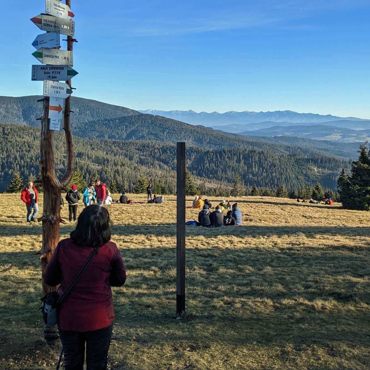
Pilsko (1557 m above sea level) is the second highest peak in the Żywiec Beskid. When hiking to Pilsko from Korbielów, you can ascend and descend using different trails, and along the way, you can stop twice at the Miziowa Meadow hut. Beautiful views await you already on the meadow below the hut:
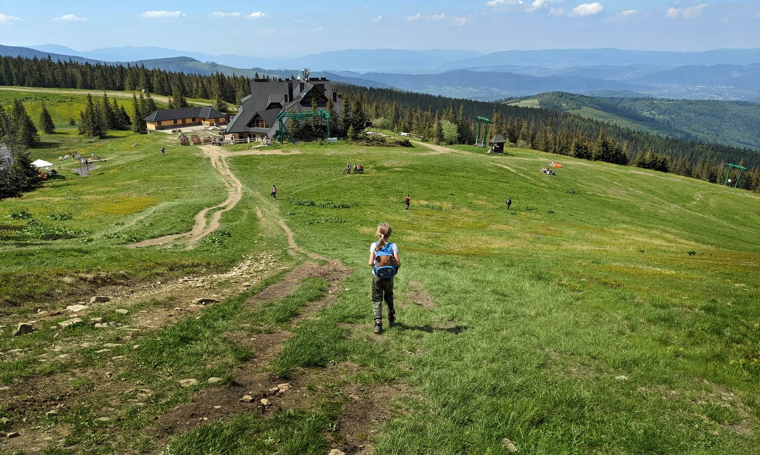
...during the hike to the summit and at the top of the massif.
For the ascent to Pilsko from Korbielów, we recommend the following route: ascent from Korbielów to Miziowa Meadow via the yellow trail > from Miziowa Meadow to Pilsko via the black trail > descent from Pilsko to Miziowa Meadow also via the black trail (or optionally the more challenging yellow trail) > descent from Miziowa Meadow to Korbielów via the green trail; total: 12.5 km.
4. Wielka Racza
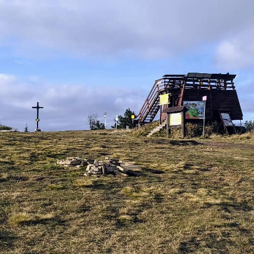
Wielka Racza (1236 m above sea level) is the furthest southwest massif of the Żywiec Beskid, famous for breathtaking panoramas! An even wider view than from the meadows can be seen from the viewing platform. You can rest and have a meal at the hut below Wielka Racza after the hike.
The shortest and easiest trail leads here from Rycerka-Kolonia:
Easy
Wielka Racza - Yellow Trail from Rycerka

If you're up for a longer, full-day hike with views along the way, you can also set off to Wielka Racza from Zwardoń (note: it's a 15 km one-way hike!).
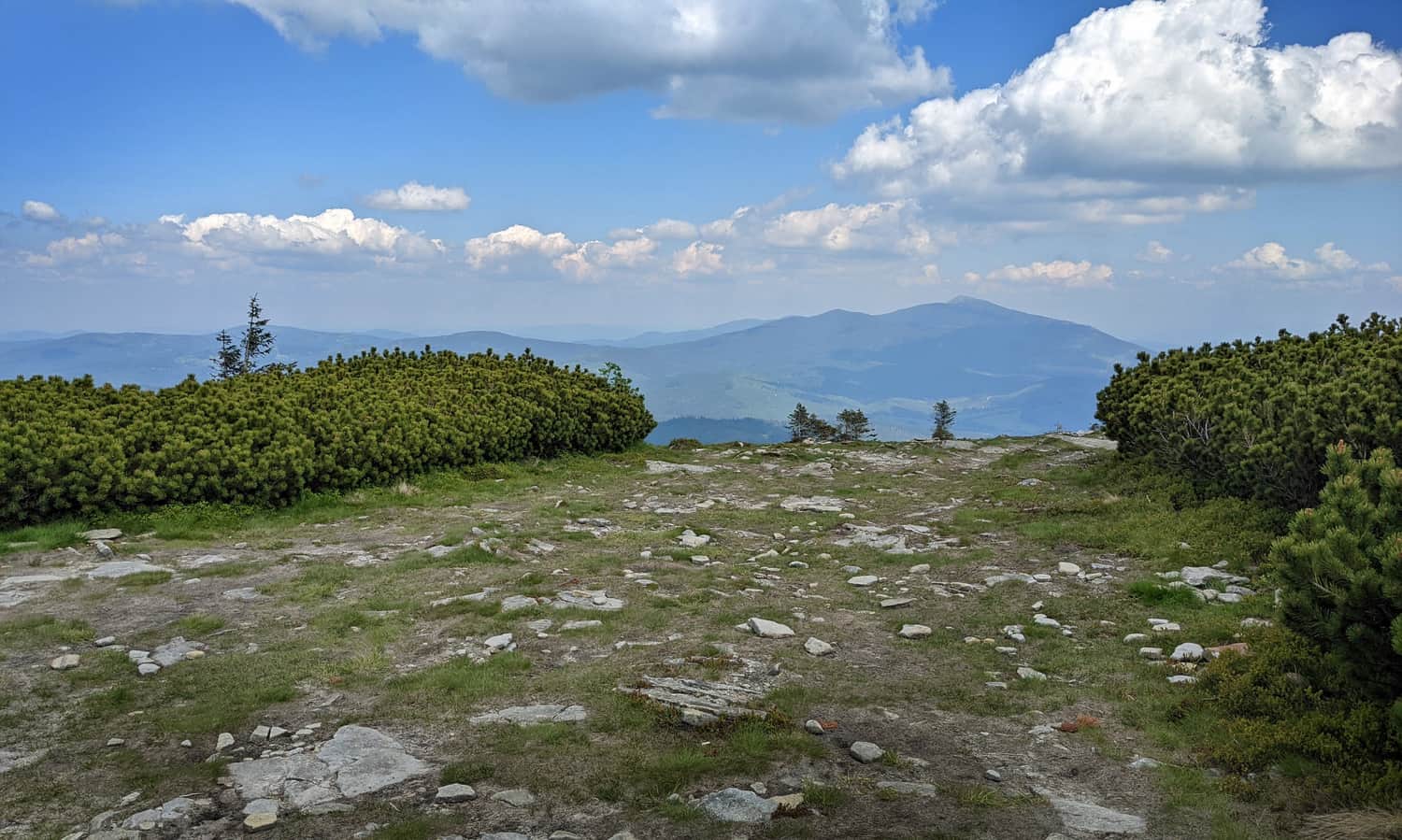
5. Jałowiec from Stryszawa
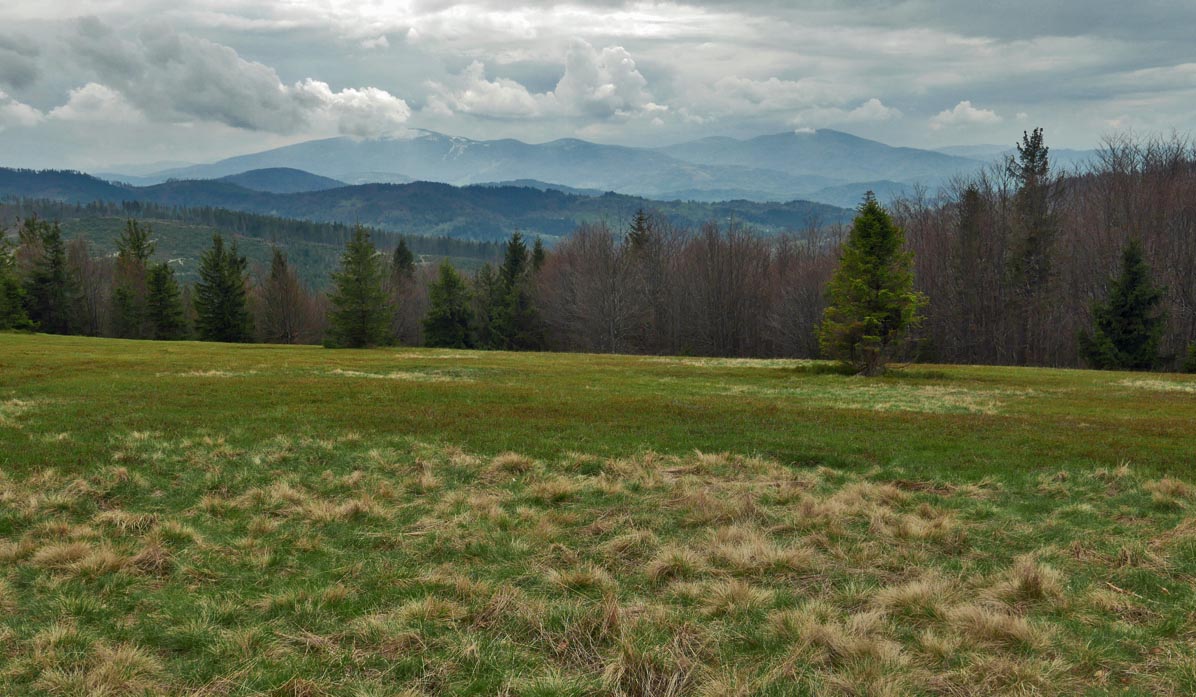
Can we find less crowded trails and scenic meadows without dozens of picnicking tourists in the Żywiec Beskid? If you value tranquility on the trail, choose a route without a mountain hut! For example, the loop to Jałowiec (1111 m above sea level). Compared to the previous peaks, it's not a very "prominent" elevation, but the meadow at the top also offers beautiful views, including the massifs of Babia Góra (slightly protruding above the forest line), Pilsko, and Romanka.
There are several trails leading to Jałowiec, and we recommend, for example, a short forest loop from Stryszawa-Matusy, passing through the scenic Kolędówki and Opaczne Passes along the way:
Medium
Stryszawa Matusy - Jałowiec, loop

Scenic trails in the Żywiec Beskid - trail map
You can see all the described trails above (along with links to more detailed descriptions) and the location of the photos on the comprehensive map in the article header.
You can find more trail descriptions and interesting places in the Żywiec Beskid in this section:
Żywiec Beskids
The Żywiec Beskids is a mountain range located south of Żywiec. It stretches between Zwardoń in the west, and Sucha Beskidzka, Maków Podhalański, and Jordanów in the east. ...
