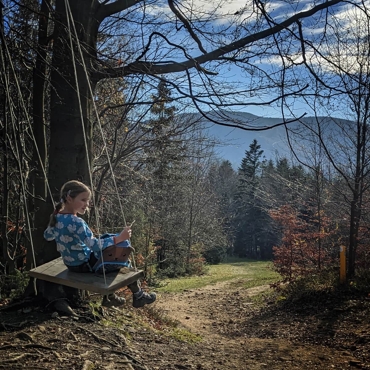
Babia Góra from Slovakia - loop through Mała Babia
Town: Oravska Polhora Nearby: ZawojaCountry: Słowacja, Polska
| Distance | 19.1km |
|---|---|
| Time | 7h 31min |
| Ascents | 1098m |
| Descents | 1098m |
wb_sunny Route in the sun
restaurant Restaurant or bar nearby
directions_car Access by car
A trail connecting the peaks of Babia and Mała Babia Góra, which starts and ends in Slovakia at the tourist base Chata Slana Voda (Oravska Polhora), is a beautiful and very scenic route. The trail is difficult due to its length and the elevation difference that needs to be overcome, as well as a challenging section: descending from the summit over large boulders.
Babia Góra and Mała Babia from Slovakia
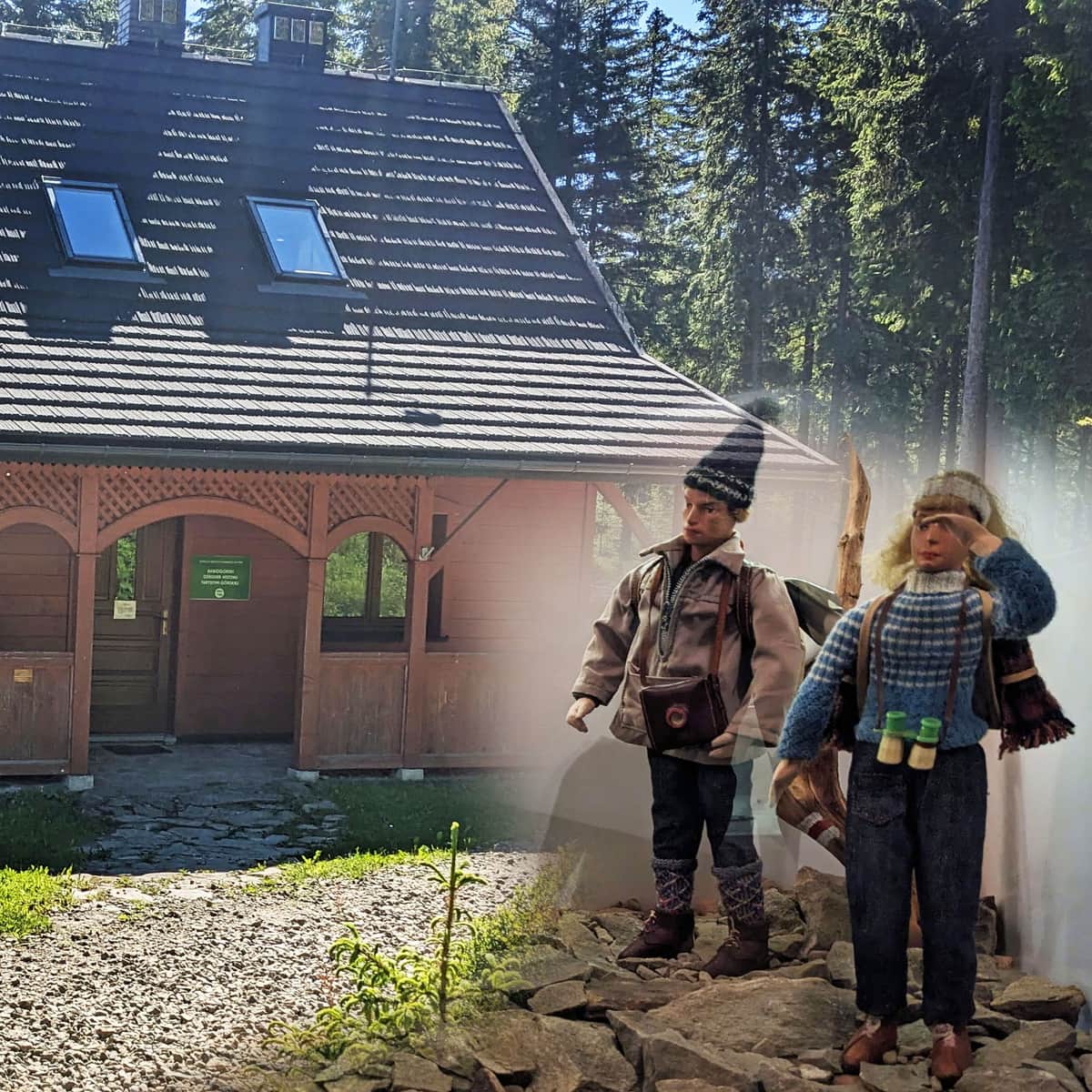
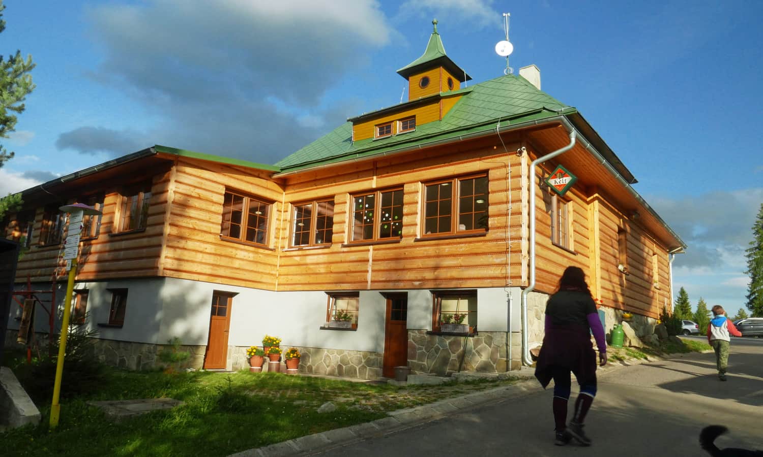
The proposed route combines the yellow and red trails, entirely on the Slovak side, outside (or on the border of) the Polish Babiogórski National Park. We start our hike at the tourist station Chata Slana Voda (accommodation, snacks, souvenirs).
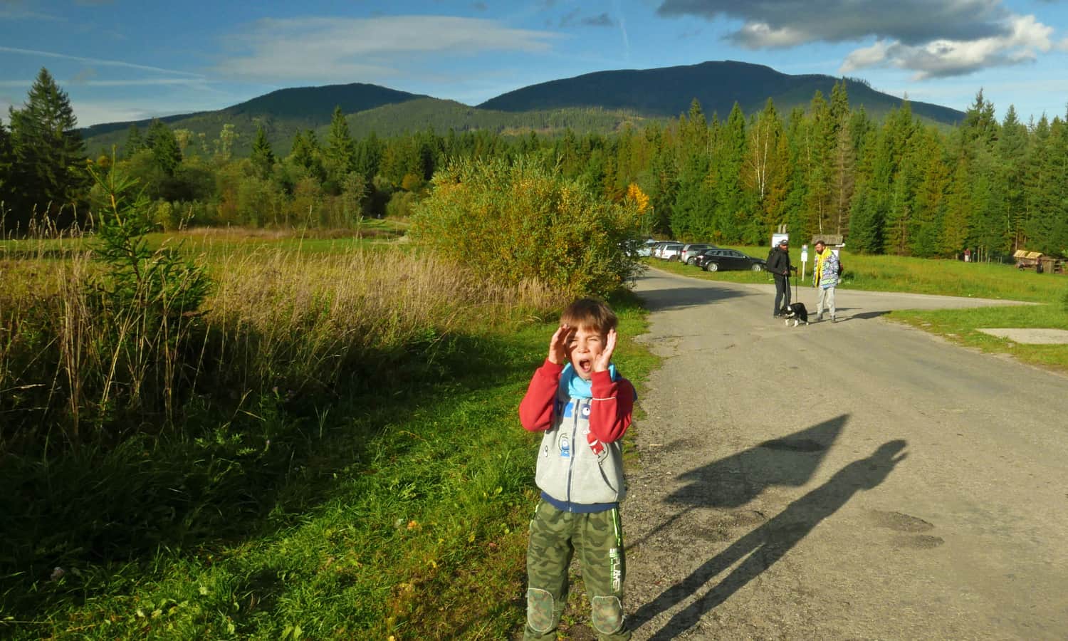
Slana Voda - parking
The parking area is spacious, free, and not overcrowded, unlike the one at Krowiarki, but of course, the earlier we arrive, the easier it will be to find a spot.
We can, of course, complete the loop in both directions. However, please note that the yellow trail is more scenic, sunny, and "civilized", while the red trail is wild, forested, and less popular. We chose to ascend on the yellow trail and descend on the red trail.
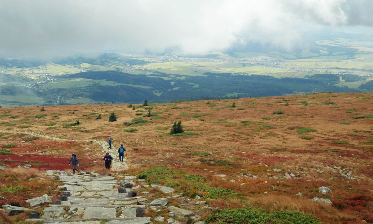
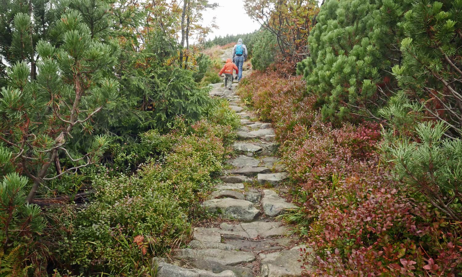
Yellow trail to Babia Góra
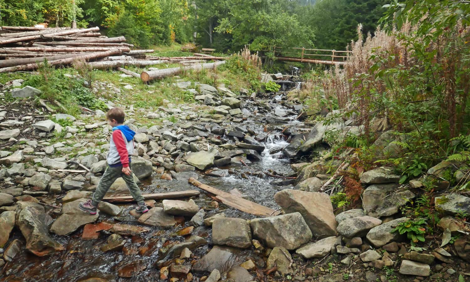
The first stage of the hike is a somewhat boring walk along a flat road - first a rocky path, then an asphalt road next to the Muzeum Mila Urbana.
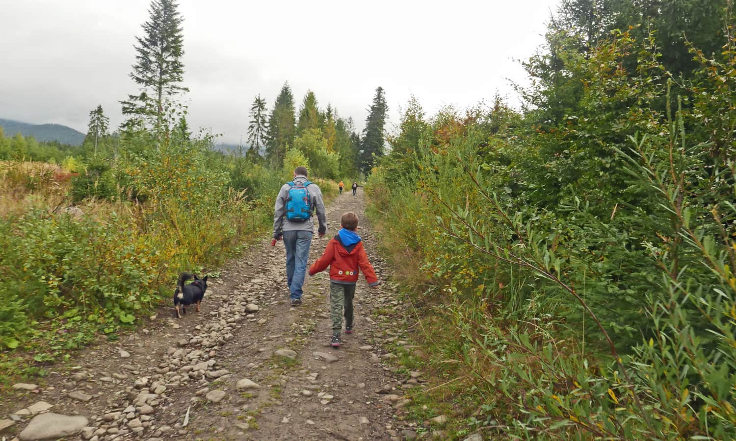
From there, we enter the forest, but the road is still wide and comfortable until we cross a stream. Then, the steep climb up the forested slope begins.
Along the way, we pass several shelters, educational stops, and even two lookout towers: one near the museum and one at the intersection of Staviny roads.
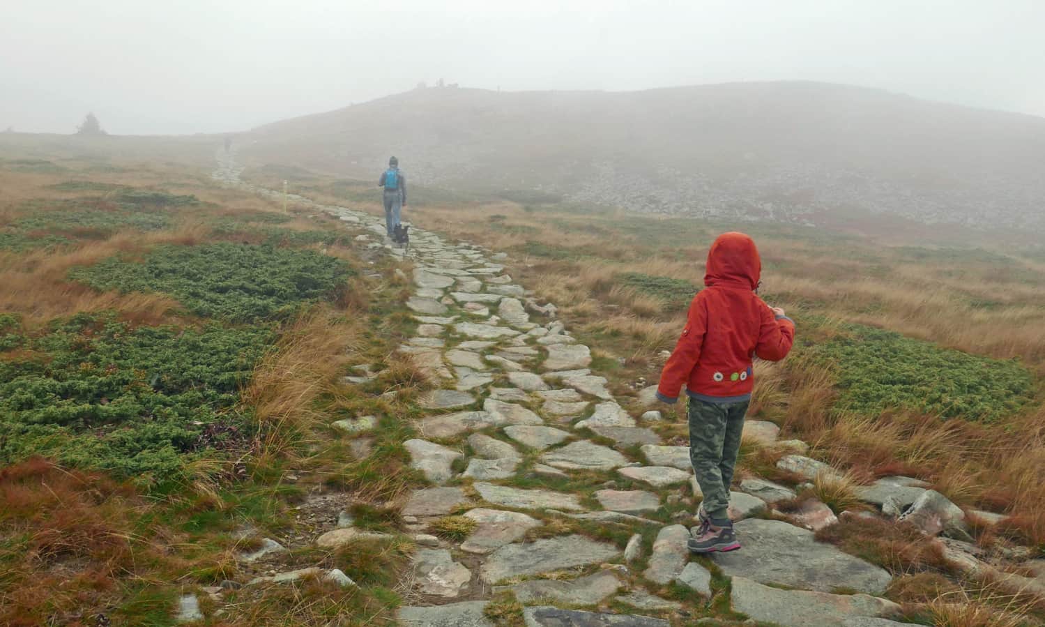
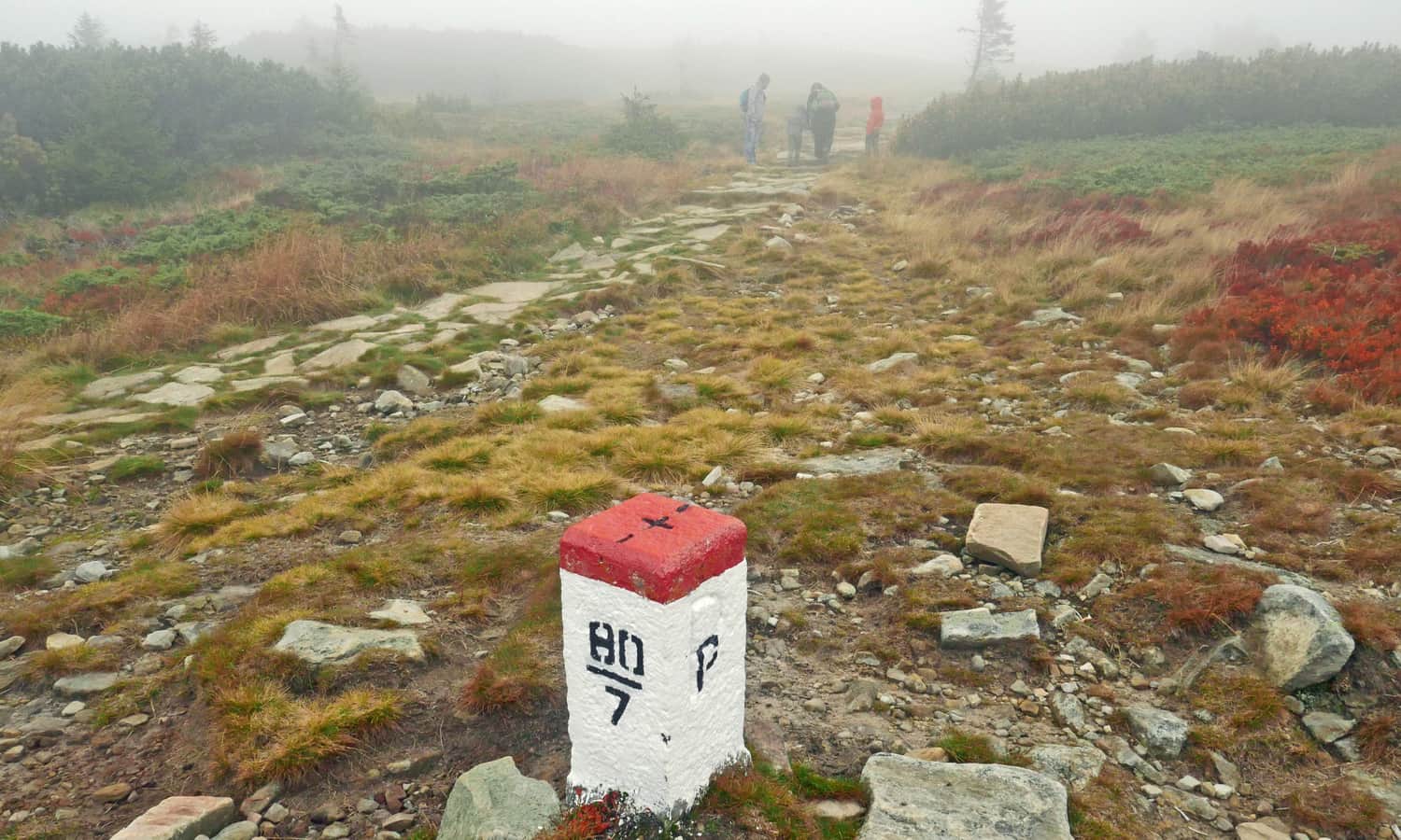
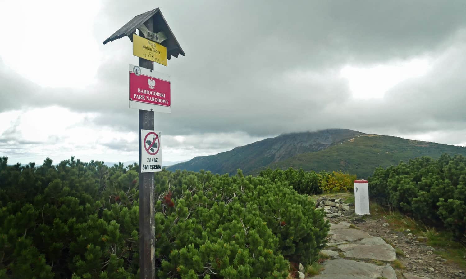
We enter the subalpine zone from the forest, and when we reach the border markers, it's a sign that we will soon reach the summit.
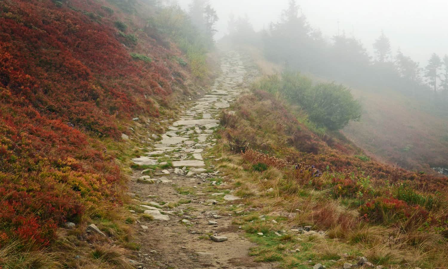
P.S. The yellow trail looks different on a sunny summer day, see it here:
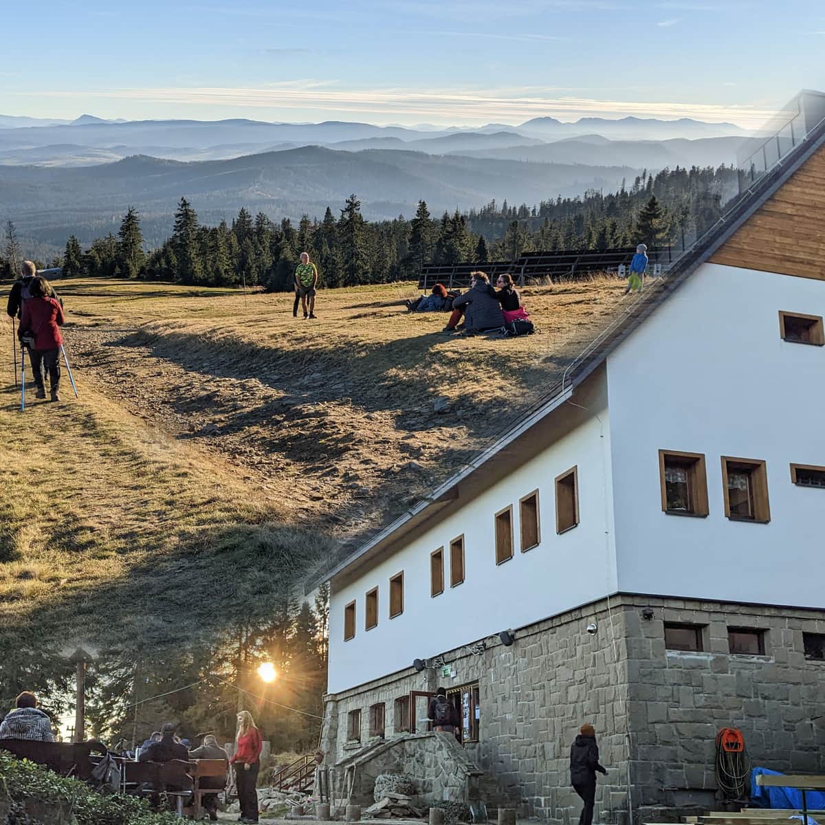
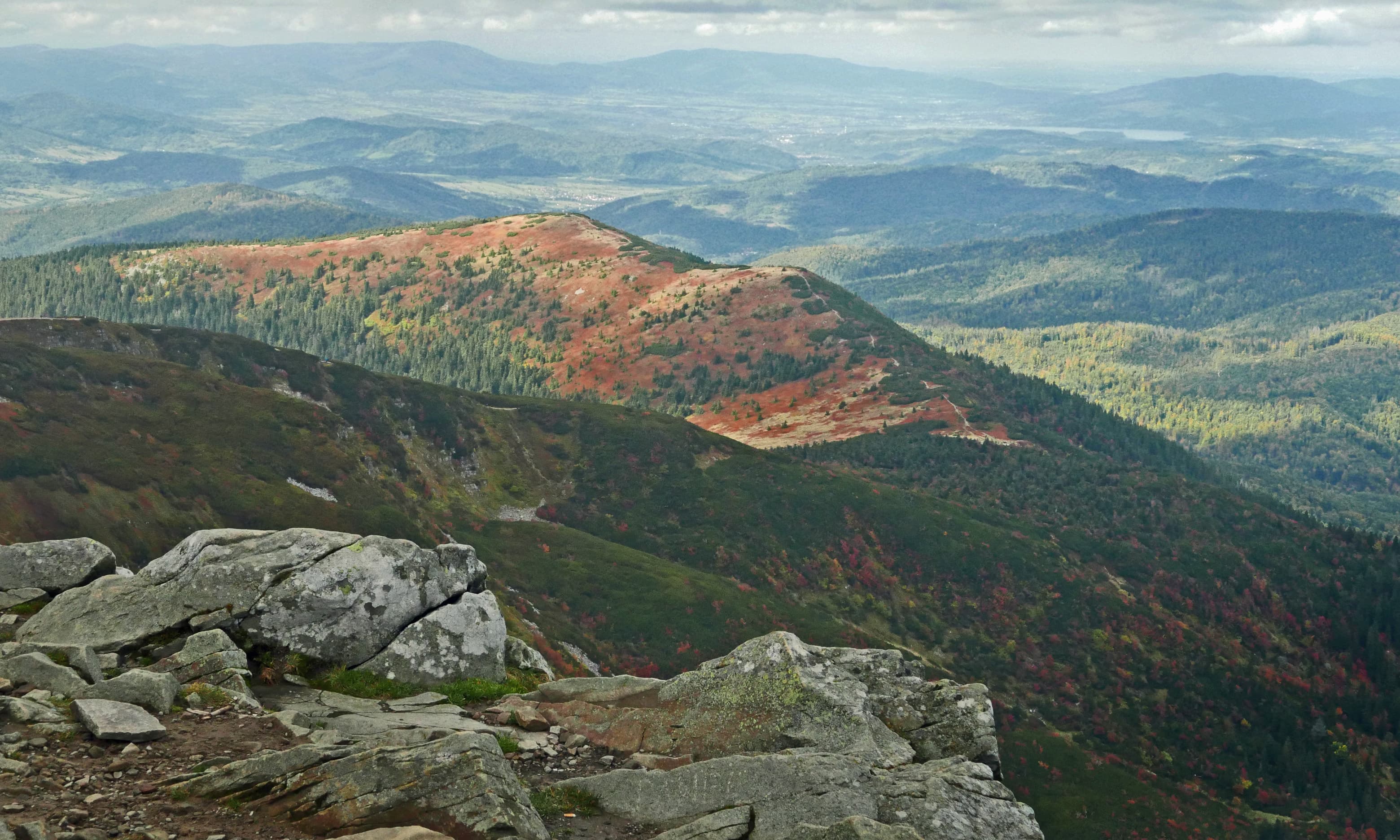
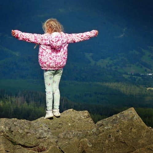
At the summit of Babia Góra
The views from the summit are breathtaking, almost as strong as the gusty wind! Don't forget warm jackets and hats - gloves may even come in handy! Sometimes, Babia Góra-Kapryśnica might be covered in clouds, but nothing can take away the satisfaction of meeting the Queen!
We hiked the last hour in the clouds, without hope for anything other than the "white milk" around us...
Literally 5 minutes before reaching the summit, the wind blew away the clouds - as if it was just for us! The Tatras appeared to the south, and countless ranges of the Beskids - "subjects of the Queen" - to the north:
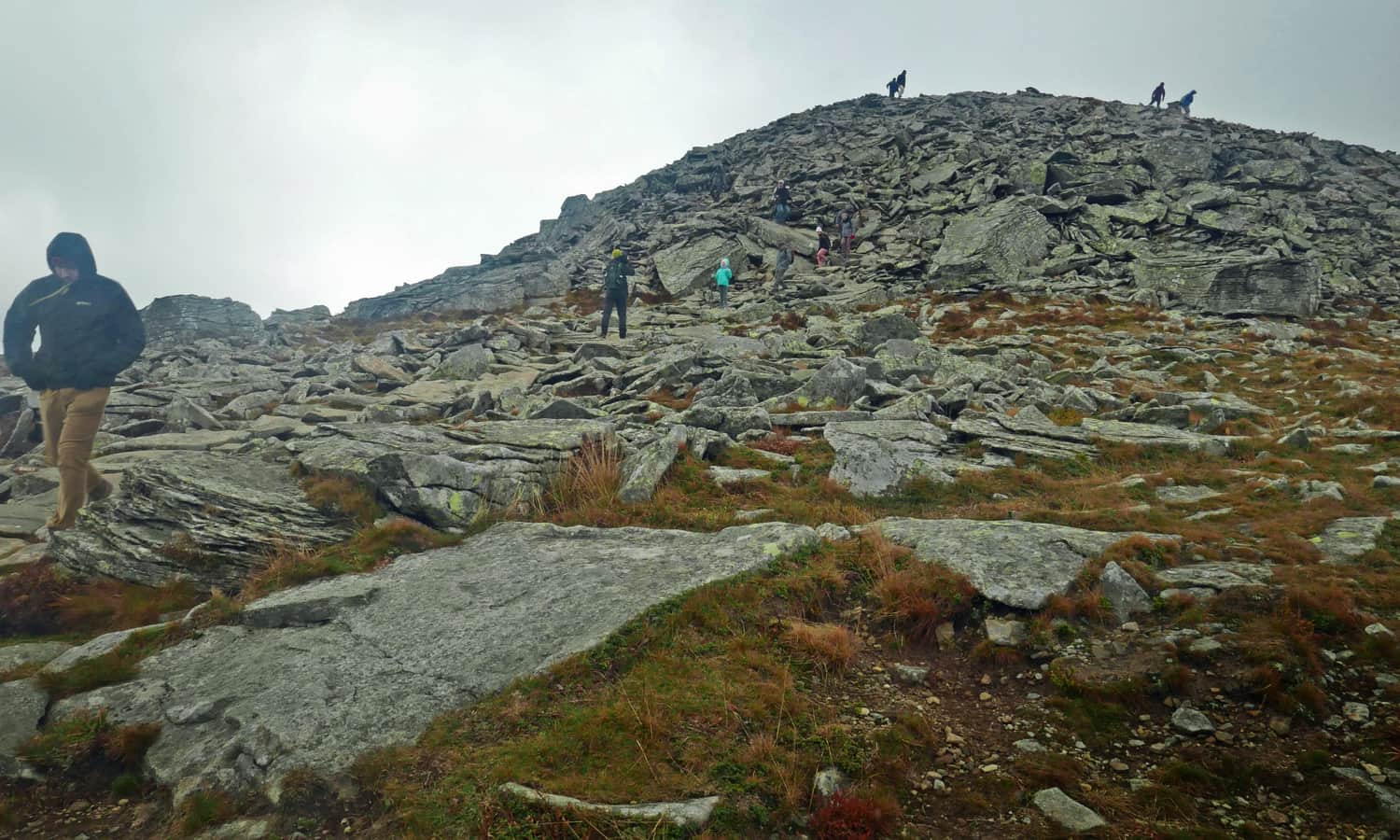
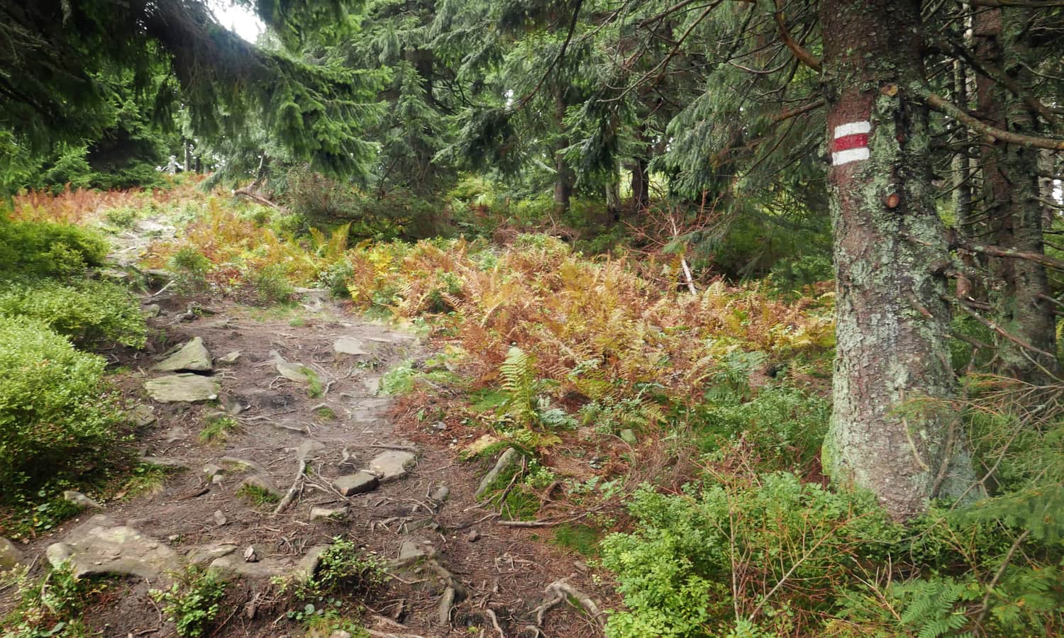
Red trail Babia Góra - Przełęcz Brona - Mała Babia Góra
Despite the magnificent views at the summit, it is not possible to stay for too long. We descended on the red trail towards Przełęcz Brona. Here, we encountered the most challenging section - descending over large boulders, accompanied by the gusty wind... It will certainly be a big challenge for little legs!
Later, the path follows the ridge, descending on stone steps, but not as steeply. We are partially protected from the wind by the subalpine vegetation (in this case, it will be easier with smaller vegetation). On the section between the summit of Babia Góra and Przełęcz Brona, where the trail branches off to the Markowe Szczawiny shelter, we experienced what we wanted to avoid: walking in a line of descending hikers constantly passing those ascending...
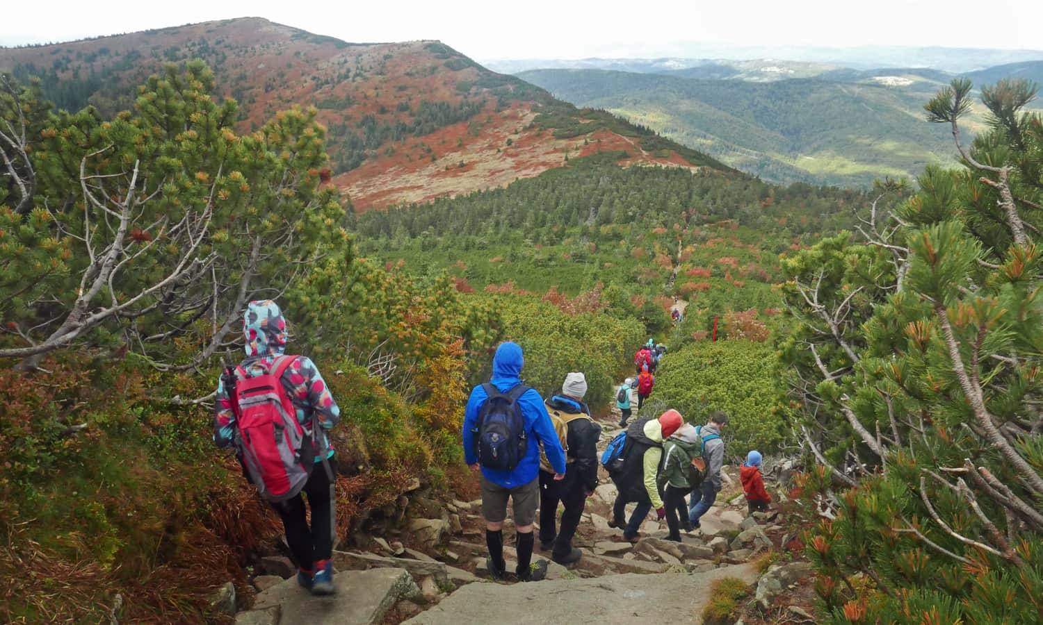
What bothered us the most was that, walking in a line, there was no possibility to hold a child's hand to secure them in a more difficult moment (it is quite narrow, and hikers constantly pass us in the opposite direction), it is even difficult to have a conversation, stop, and enjoy the beauty around us together...
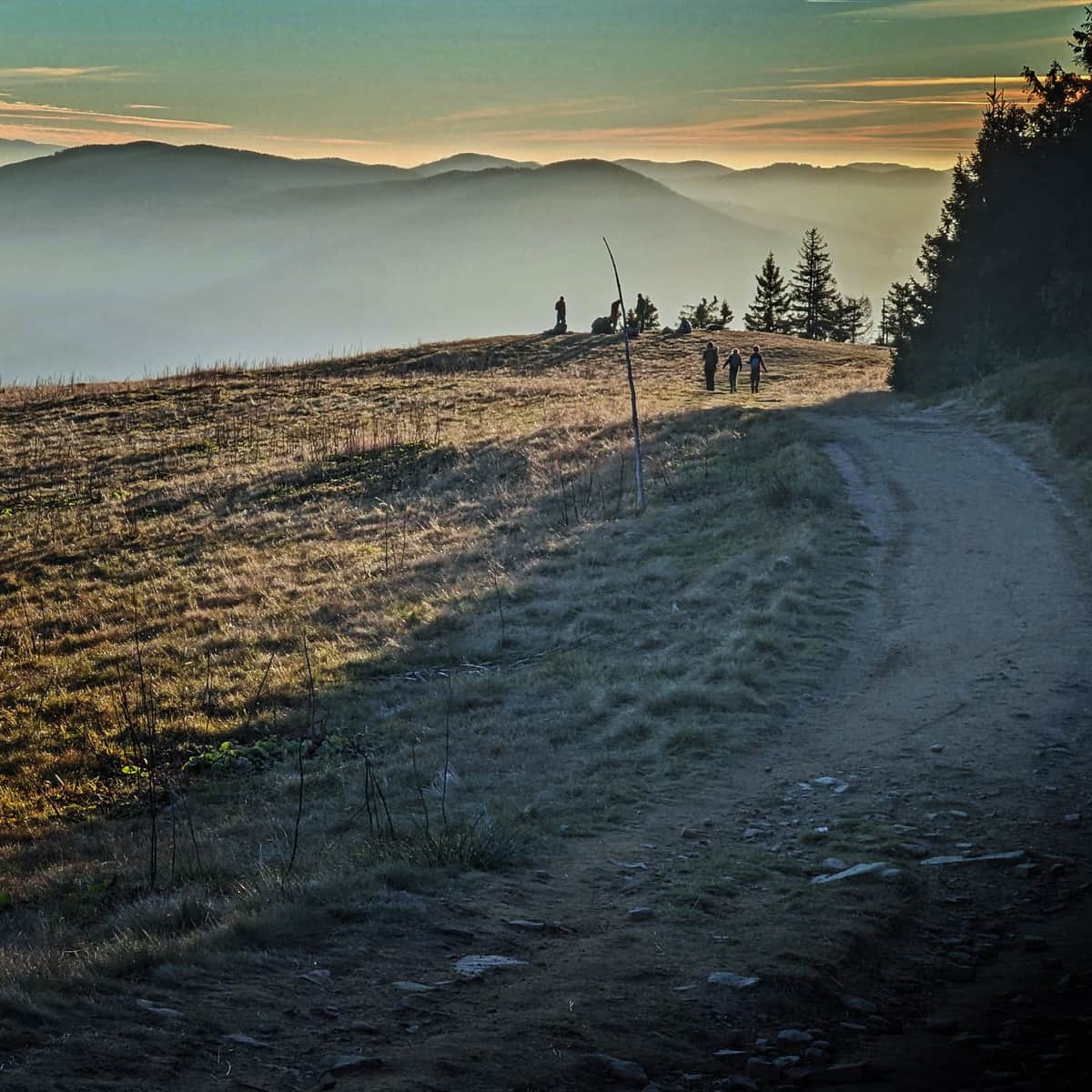
However, after Przełęcz Brona, on the way to Mała Babia, the entire trail is ours again! After about 30 minutes, we reach the summit, and here... we have another view of the "big" Babia.
Mała Babia Góra - descent to Slana Voda
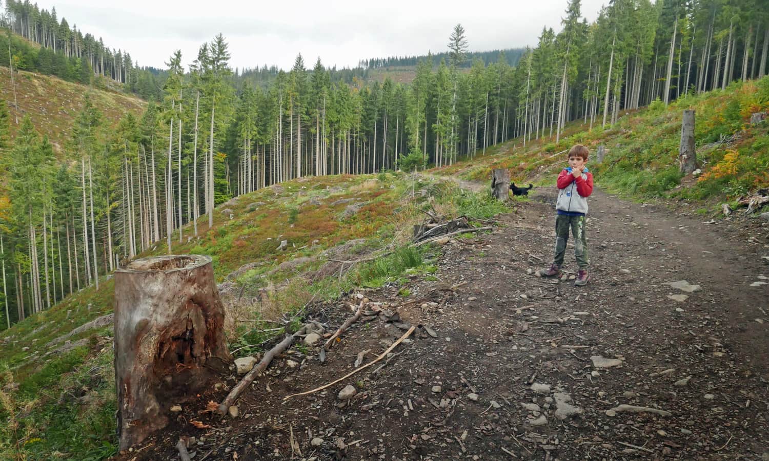
From the summit of Mała Babia Góra, the red trail descends into the forest. The forest path brings us down quite steeply. Compared to the yellow trail, the red trail is much wilder (we won't find comfortable stone-paved paths, shelters, or lookout towers here) and probably less frequented.
In many places, we had to search for the way among deep muddy gullies damaged by timber transportation...
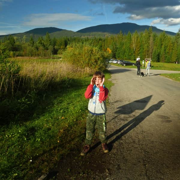
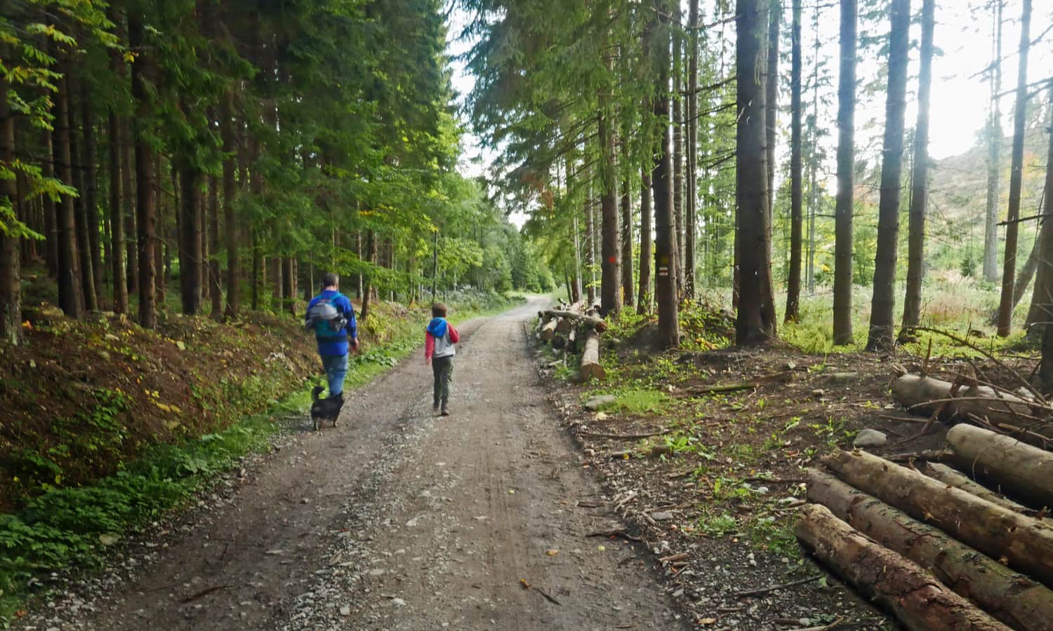
The final section of the red trail (last 45 minutes of the hike) is a flat road: first gravel, then asphalt (vehicle traffic is only available to residents). Along the way, we pass a forest education center (which was closed), then an enclosure with wild animals, and return to Chata Slana Voda, where a well-deserved rest and a warm meal await us!
Other routes and trails to Babia Góra
There are many routes leading to the Queen of the Beskids, take a look here:
Babia Góra - all trails. For children and more
undefined ...
P.S. This route has been included in our ranking of the "TOP 5 Beskid Żywiecki - most beautiful scenic trails". Would you like to know the others?
TOP 5 Żywiec Beskid - the most beautiful scenic trails
Beskid Żywiecki is a mountain range on the border of Silesian and Lesser Poland Voivodeships, known for its scenic meadows and expansive panoramas. Which trails should you choose for hiking in the Żywiec Beskid? ...

Publish Date:
Last Updated: