Rysianka, Lipowska, Redykalna, Boracza Hall - loop from Żabnica
Nearby: Żywiec| Distance | 16.0km |
|---|---|
| Time | 6h |
| Ascents | 805m |
| Descents | 805m |
beach_access Route in the shade
wb_sunny Route in the sun
restaurant Restaurant or bar nearby
directions_car Access by car
directions_bus Can be reached by bus
wc Toilet along the route
Scenic route through several halls of the Żywiec Beskids: Pawlusia, Rysianka, Lipowska, Bieguńska, Redykalna, and Boracza with beautiful panoramas of the Żywiec Beskids, Silesian Beskids, Tatra Mountains, and endless hills of the Beskids... and even 3 shelters along the way! In the season, an additional attraction: blueberry fields and blueberry pastries (or dumplings with blueberries) in the shelters.
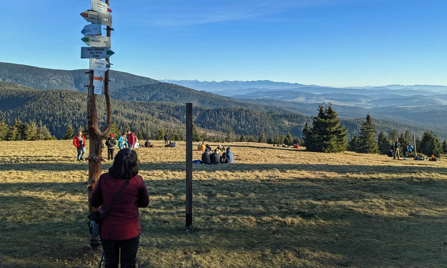
Żabnica - parking and trailhead
There is no shortage of parking in Żabnica: private paid parking, public free parking - for example, near the final bus stop and entrance to the green and black trails. There are also gastronomic facilities on-site: bars, stalls with oscypek (traditional smoked cheese) and fast food.
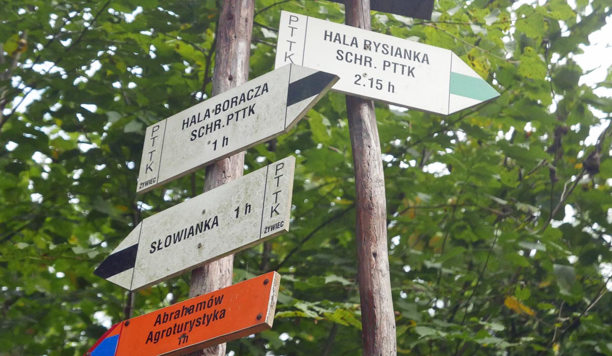
As usual with loops, the direction is optional. If we take the green trail to Rysianka, we will climb to the first shelter and then descend to the next two. If we choose the black trail to Boracza, the ascent will be longer "from shelter to shelter," but the descent will be shorter and steeper. We chose the first option.
Green trail to Rysianka
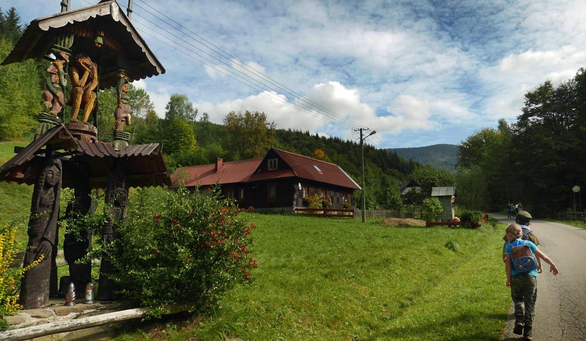
Initially, we walk on asphalt through the village:
...and through the forest along the stream:
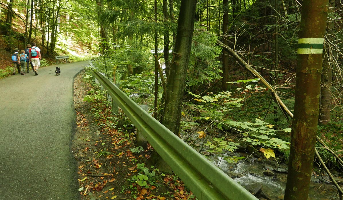
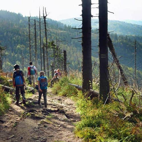
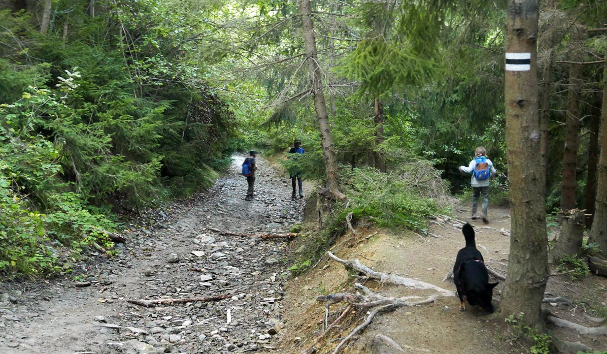
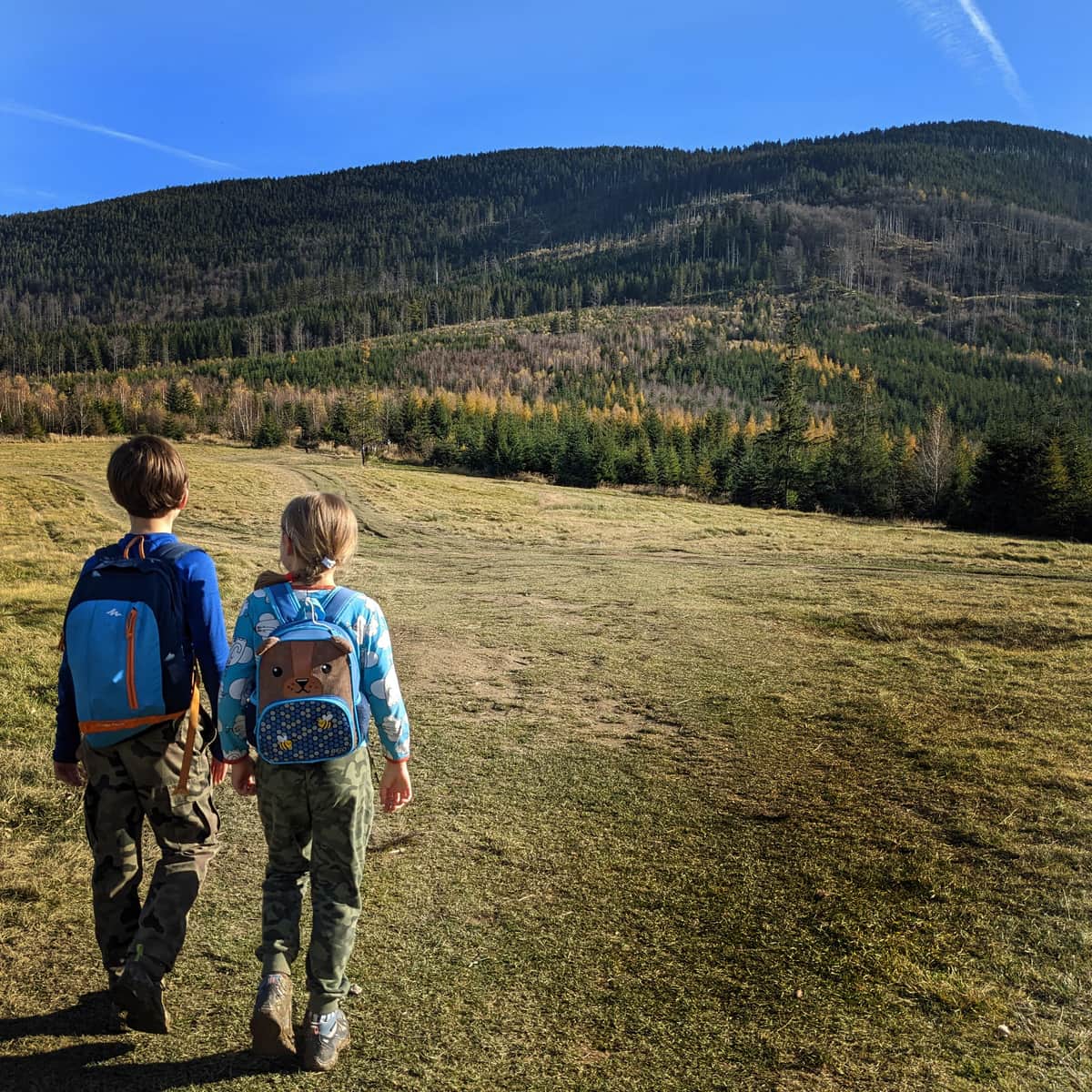
When we enter the forest, the path varies: it is mostly wide, with varying degrees of incline, but quite comfortable.
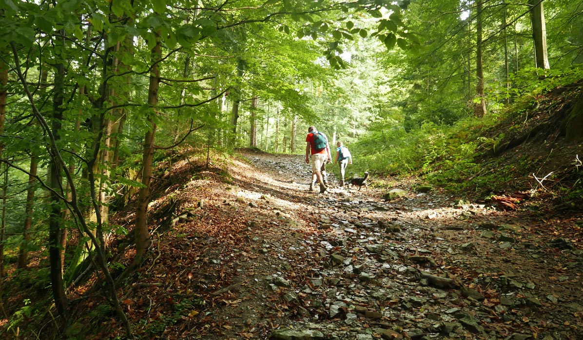
At some point, there is a steep shortcut (to the right), but we followed the narrow path marked with green signs. We followed it all the way to the "highway": a wide forest road with views!
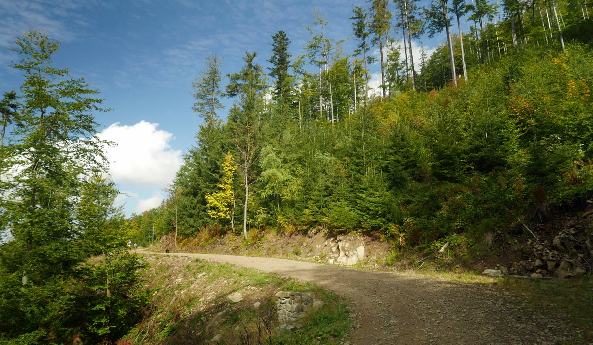
What is good and easy quickly comes to an end... After a while, another forest climb awaits us: about 30-40 minutes of the most challenging section.
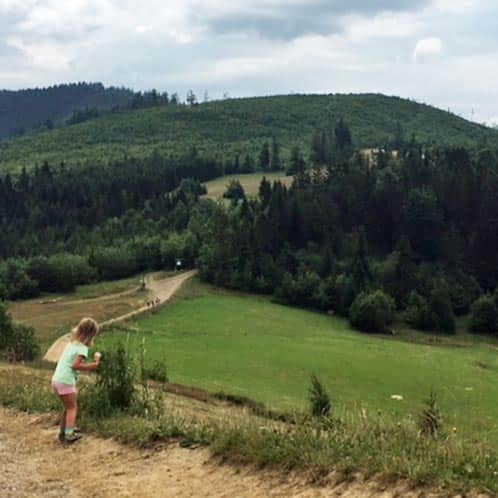
20 minutes before Rysianka, a reward for brave climbers: scenic Pawlusia Hall
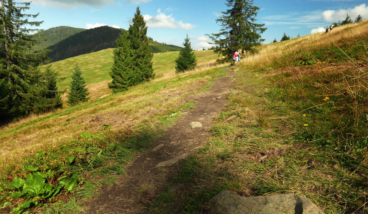
The path to the shelter ascends more gently, and we are accompanied by views to the east: towards Babia Góra and Pilsko, so our legs carry us effortlessly!
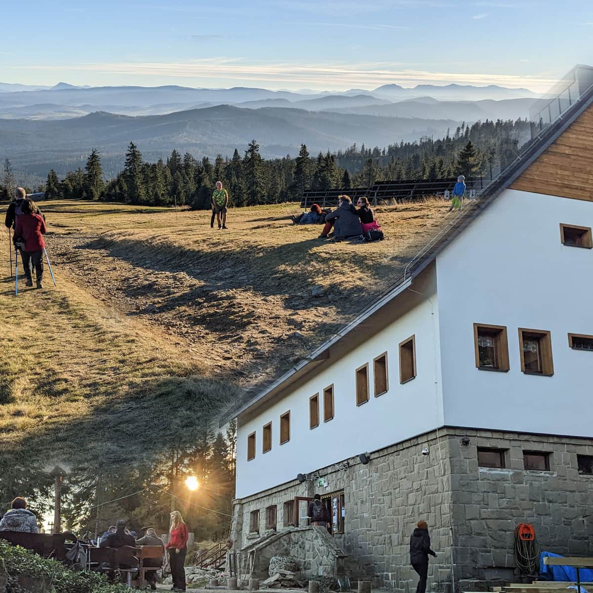
PTTK Shelter on Rysianka and Rysianka Hall
Here we can rest, have a snack, get stamps, and buy souvenirs.
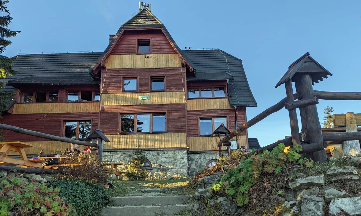
And above all, we will admire the beautiful panorama!
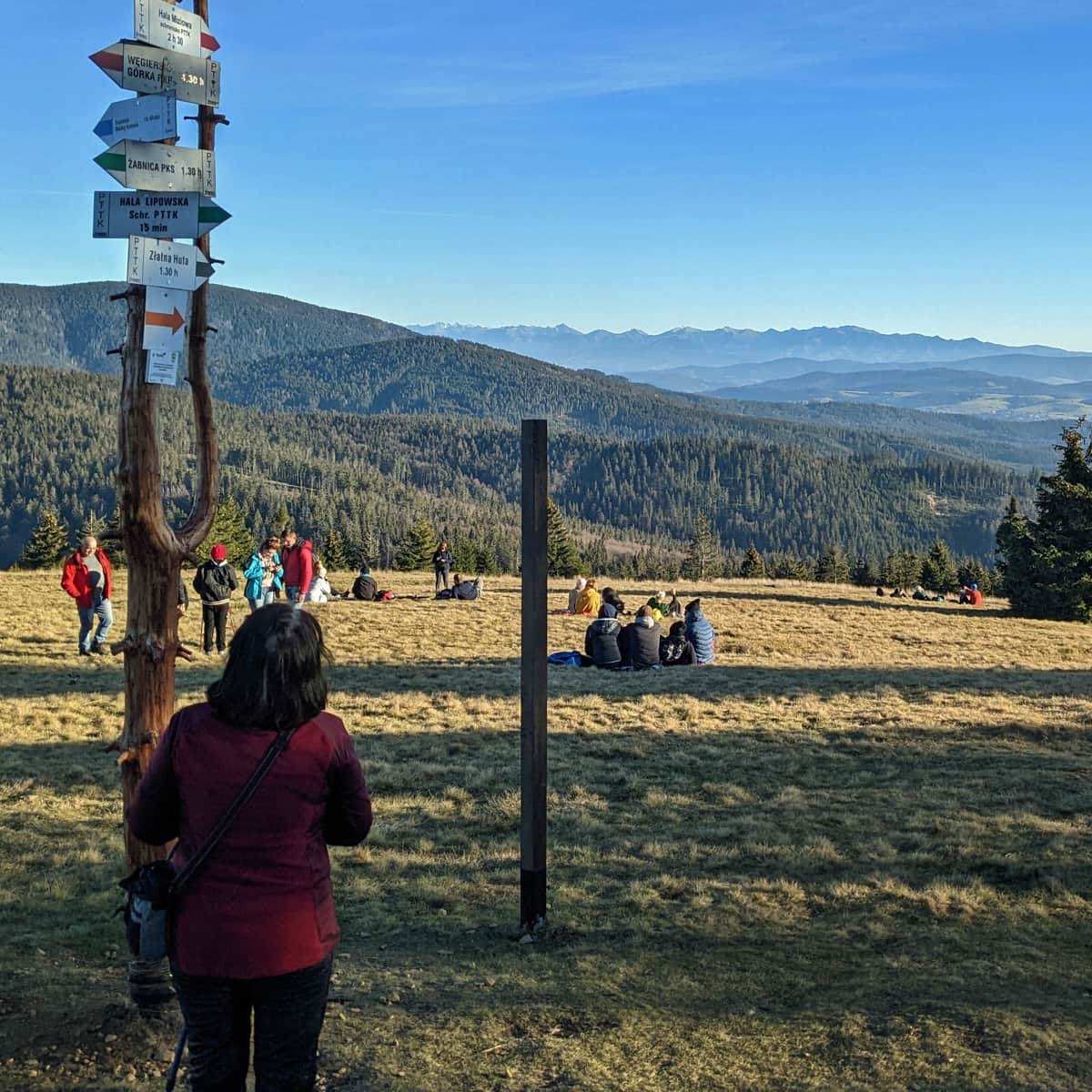
Panorama from Rysianka
To the left in the distance, Babia Góra, in the middle, Pilsko. Behind the massif of Pilsko, the High Tatras chain, followed by the Low Tatras. Slightly to the right, the distinctive solitary peak of the Slovak mountain Choc, and further to the right, the Great and Little Fatra. See for yourself!
From Rysianka to Lipowska
The path to the next shelter is only 10-15 minutes away. It is a wide, fairly flat path through the forest.
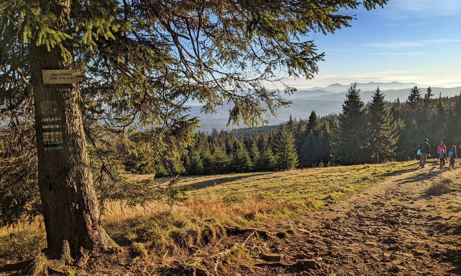
PTTK Shelter on Lipowska Hall
Next to the renovated shelter on Lipowska Hall, there is a vast meadow, and even a small playground.
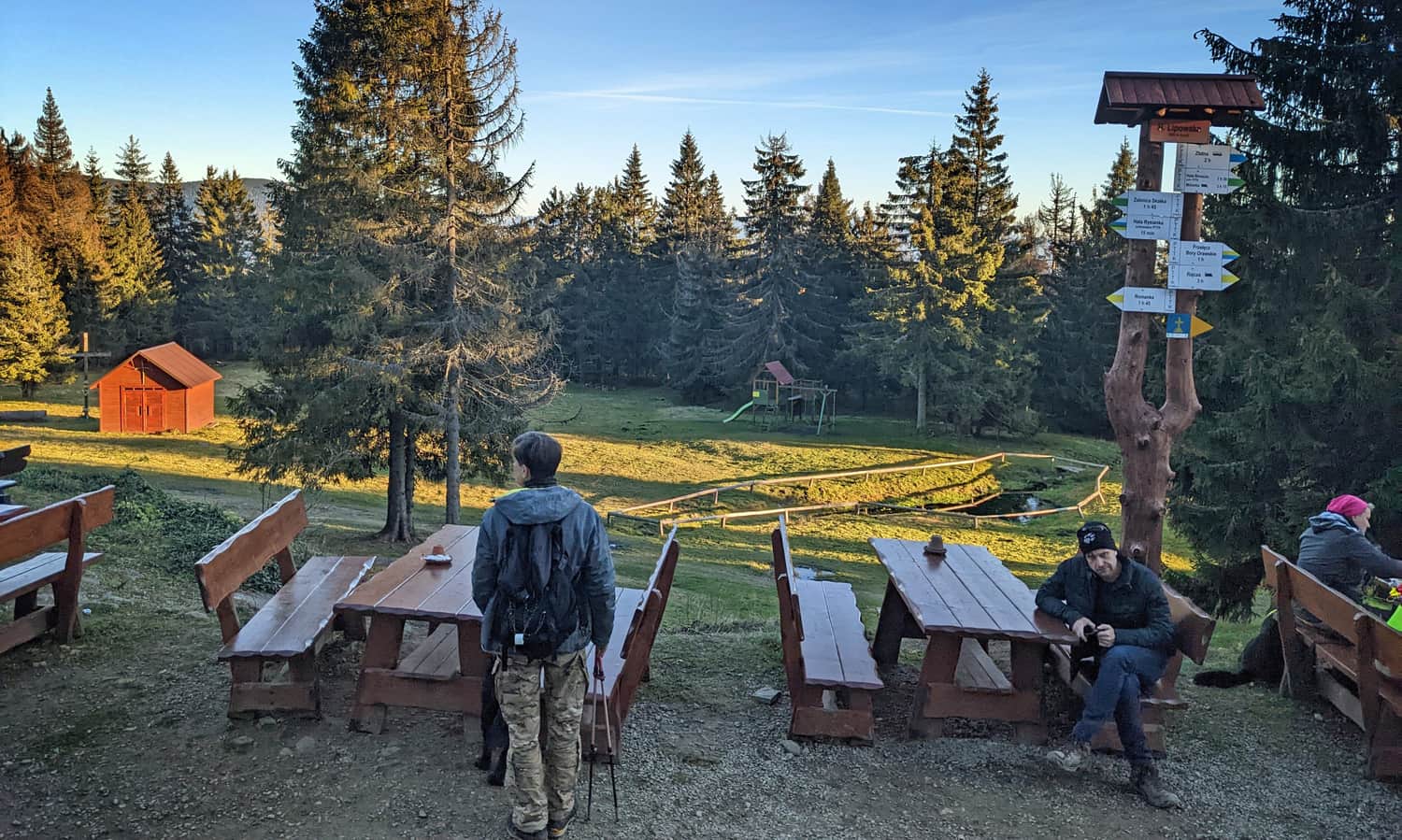
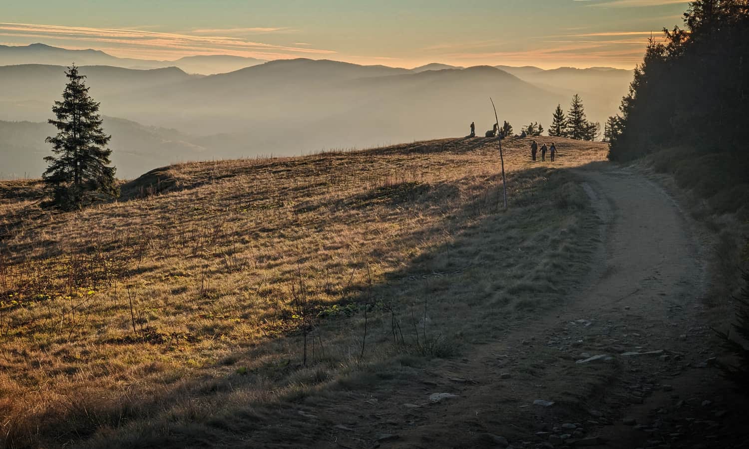
For better views, it is worth going a bit further west on the yellow and green trails, to the meadow with a ski lift.
From Lipowska Hall to Boracza Hall
Just after the shelter on Lipowska Hall, the yellow trail turns left, and the green trail turns right. So we can choose one of two paths: either the yellow trail to Redykalna Hall and then the black trail to Boracza Hall (here, there will be more sun on the extensive southern meadows), or the forest green trail to Boracza Hall, leading through the northern, forested slopes - this way will be slightly shorter and through the forest, with scenic viewpoints to the northwest.
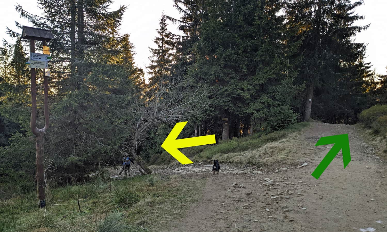
We choose the yellow trail. For those interested, here is a description of the section with the green trail:
Medium
Green Trail: Boracza - Lipowska

Yellow Trail: Bieguńska Hall, Motykówka, and Redykalna Hall
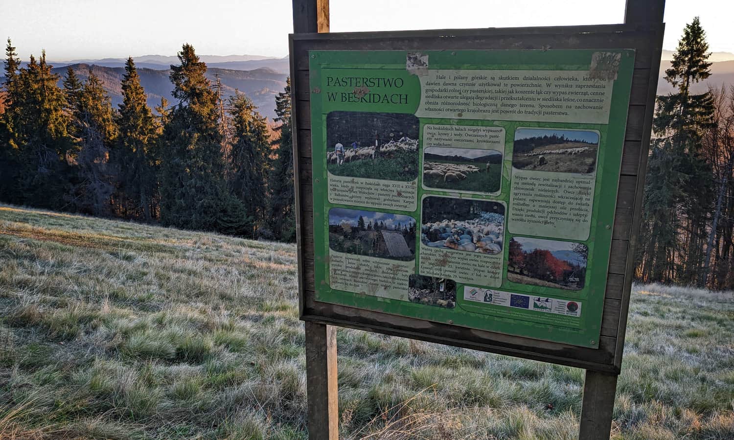
The yellow trail from the departure of the green signs is almost entirely beautiful, scenic meadows. The path is wide, comfortable, with a slight incline. Along the way, there are several boards with natural and historical curiosities from the region.
Walking along the yellow trail, we pass successively: the vast Bieguńska Hall:
The small Motykówka Hall, also known as Bacmańska:
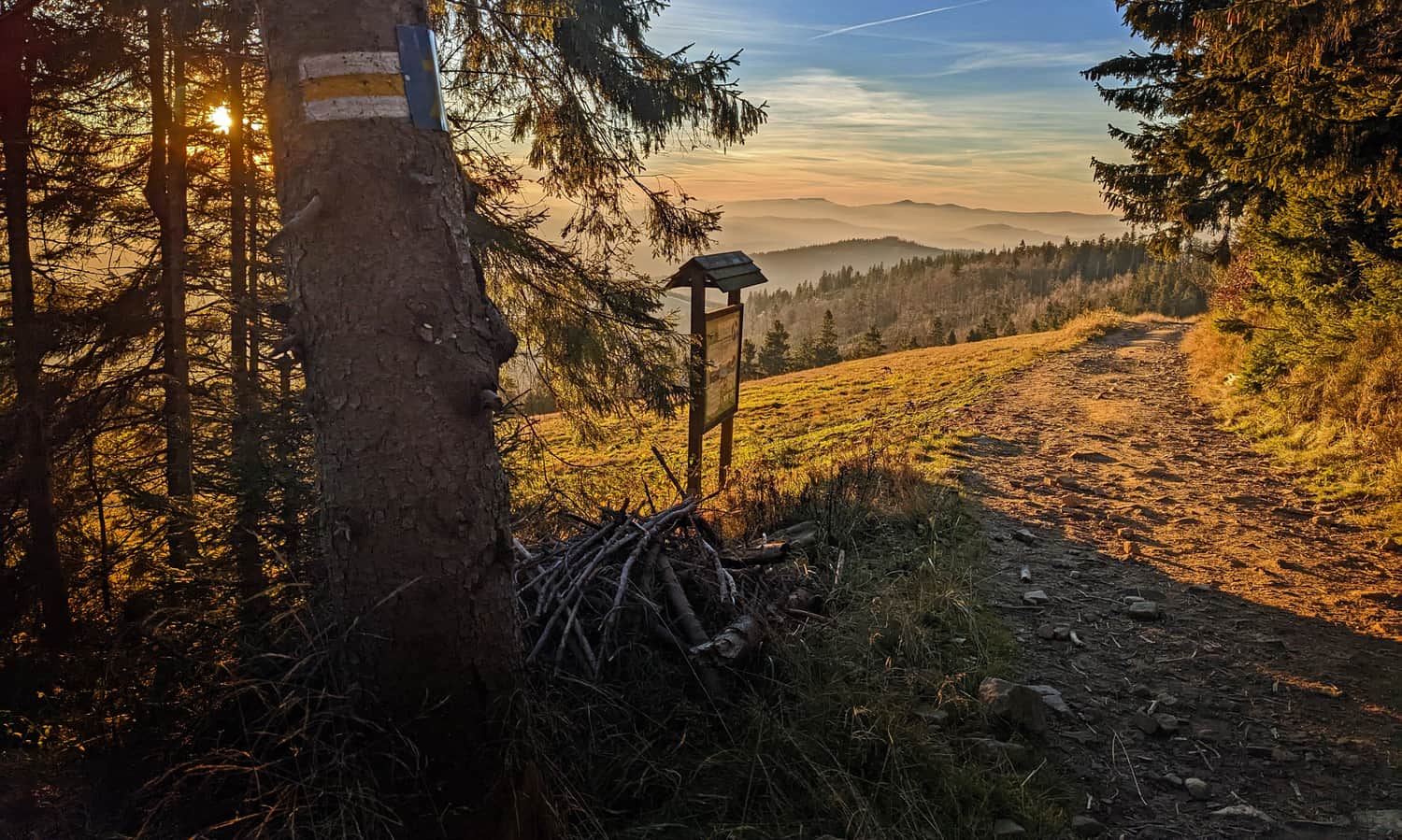
...until we reach the Redykalna Hall below Redykalny Wierch:
Redykalna Hall - Boracza Hall
We finish the yellow trail at Redykalna Hall and descend through the forest to Boracza Hall following the black signs.
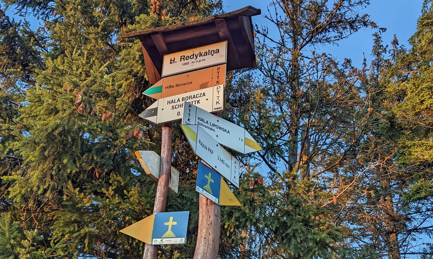
After about 20 minutes of descent through the forest to Polana Cukiernica, we join the green trail, and after another 10-15 minutes, we reach Boracza Hall, the last shelter on our route.
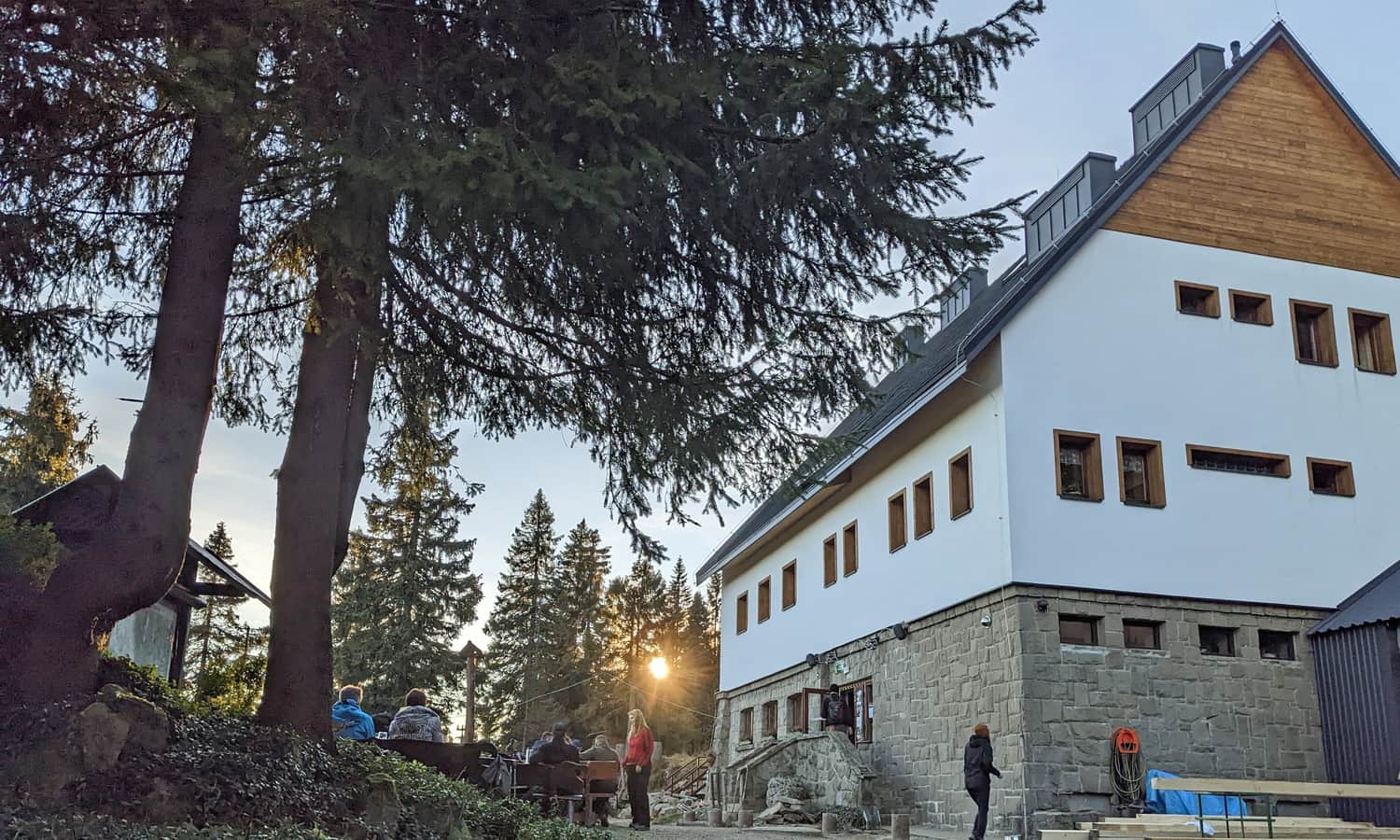
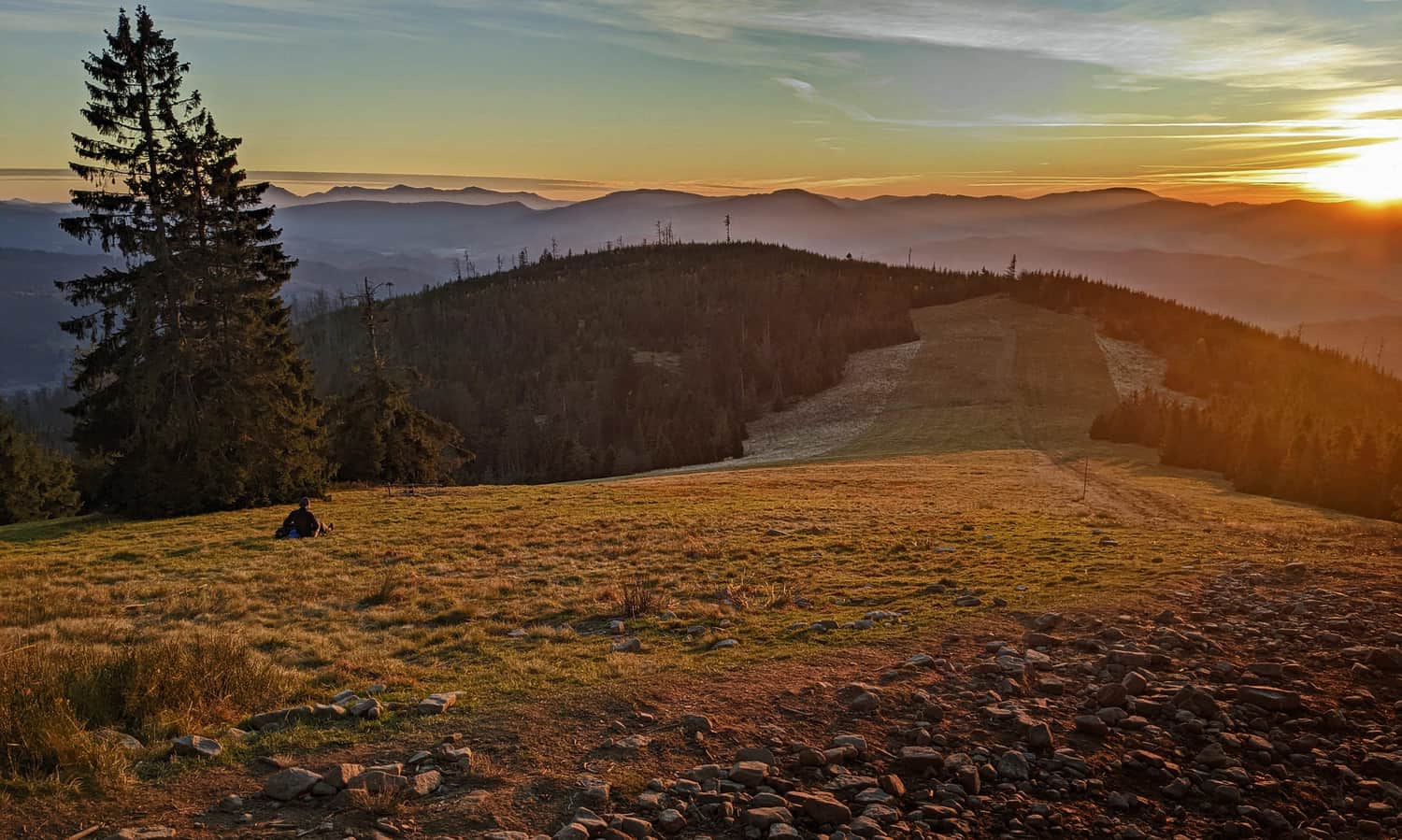
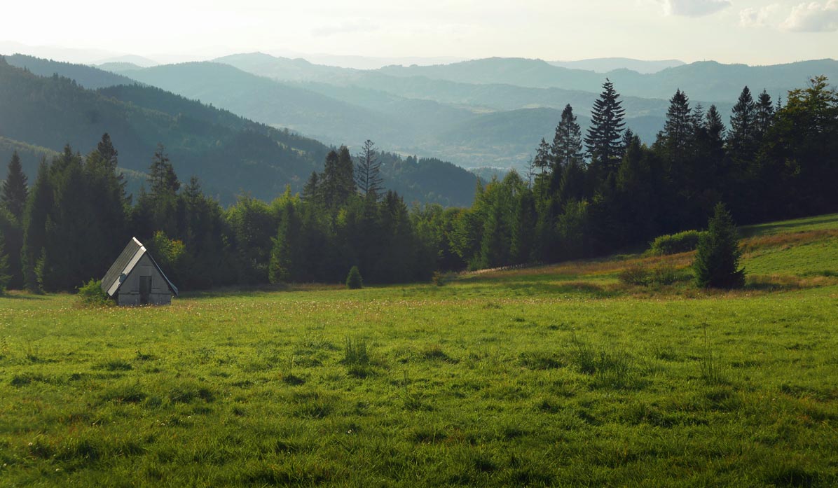
PTTK Shelter on Boracza Hall
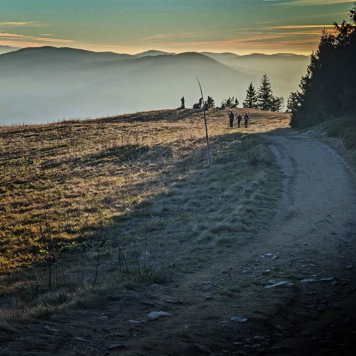
The proximity of civilization means that Boracza Hall can be quite crowded (it can be easily reached by road from the neighboring Milówka settlement), but the views are also beautiful: to the west, towards the Silesian Beskids, and to the nearby massif of Romanka, Lipowski, Boraczy, and Redykalny Wierch.
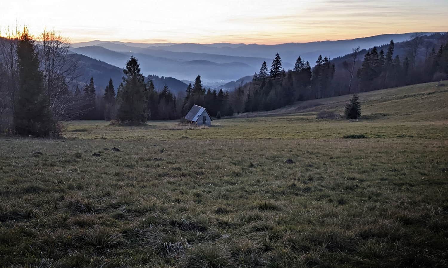
...and the same place after an early autumn sunset:
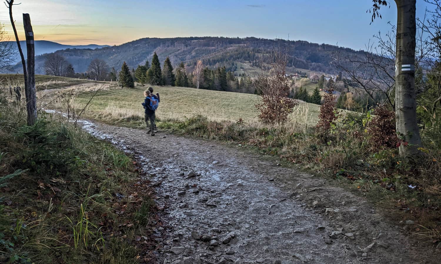
Return from Boracza Hall to Żabnica via the black trail
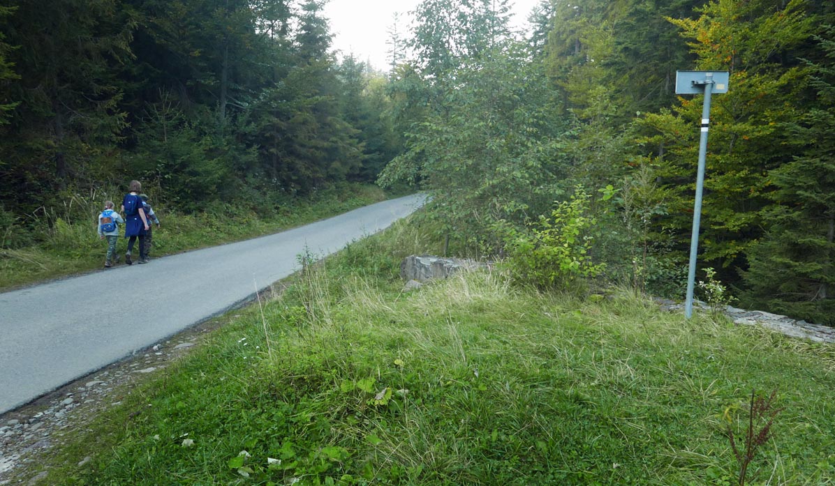
To reach the trailhead, we descend from Boracza Hall following the black trail (about 45 minutes) - initially through the forest:
...then along an asphalt road:
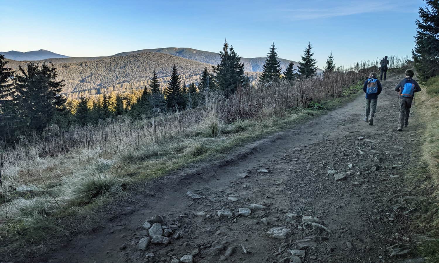
Note: the entire route is theoretically calculated for about 5-5.5 hours, but it is worth adding numerous stops along the way when the steep ascent or (more often!) stunning panoramas take your breath away, as well as at the shelters (if we want to order a meal, we have to consider waiting in line + time for serving the meal + time for eating), and there are as many as 3 shelters... hardly any child will pass by them indifferently! In summary, it is better to start earlier and enjoy the whole day hike without rushing.
PS.1. If this route is still too long for you, we propose the "mini" version, which includes Boracza Hall and Redykalna Hall:
Easy
From Hala Boracza to Hala Redykalna

PS.2. Or maybe you feel like taking an even longer loop? We suggest going to Pawlusia Hall and Rysianka "the circular way," i.e., through Słowianka, Romanka, and Martoszka:
Medium
Romanka from Żabnica through Słowianka

...and then as mentioned above: Lipowska, Redykalna, and Boracza. This will be a 20 km route, with 1000 m of ascent (which takes 6-7 hours), 4 shelters along the way, and so many scenic meadows that it is hard to count!
PS. This route has been included in our ranking of the "TOP 5 Żywiec Beskids - the most beautiful scenic trails." Want to know the others?
TOP 5 Żywiec Beskid - the most beautiful scenic trails
Beskid Żywiecki is a mountain range on the border of Silesian and Lesser Poland Voivodeships, known for its scenic meadows and expansive panoramas. Which trails should you choose for hiking in the Żywiec Beskid? ...
...and also in the article "Beskids - the most beautiful trails and routes for children":
Beskids - the most beautiful trails and routes for children
The Beskids are gentle, forested slopes, scenic meadows and pastures, hundreds of kilometers of trails: easy, but also sometimes quite demanding. Which trail in the Beskids to choose for a trip with children? ...

Publish Date:
Last Updated: