Romanka from Żabnica through Słowianka
Nearby: Żywiec| Distance | 7.1km |
|---|---|
| Time | 3h 46min |
| Ascents | 803m |
| Descents | 42m |
beach_access Route in the shade
restaurant Restaurant or bar nearby
directions_car Access by car
directions_bus Can be reached by bus
wc Toilet along the route
Romanka (1366 meters above sea level) is one of the highest peaks in the Żywiec Beskids, after Babia Góra, Pilsko, and just behind Polica. The shortest route leads from Sopotnia Wielka (5.5 km). We propose a slightly longer route from Żabnica (7 km). The difference in altitude to overcome is very similar, but more spread out in time, and along the way, we also have a stop at the secluded "Słowianka".
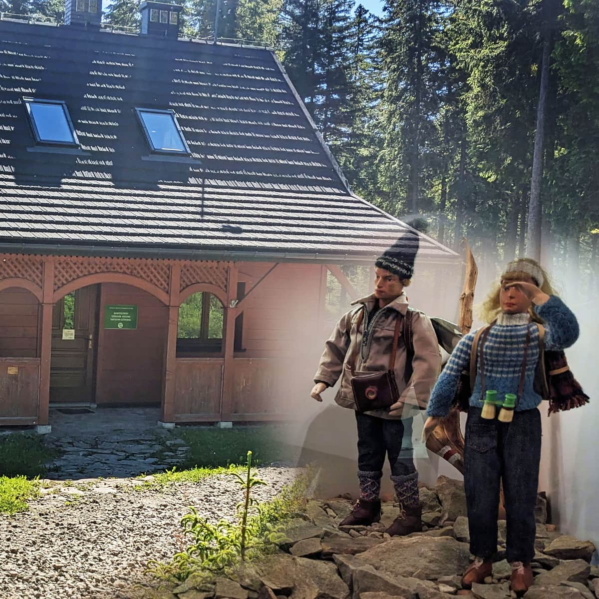
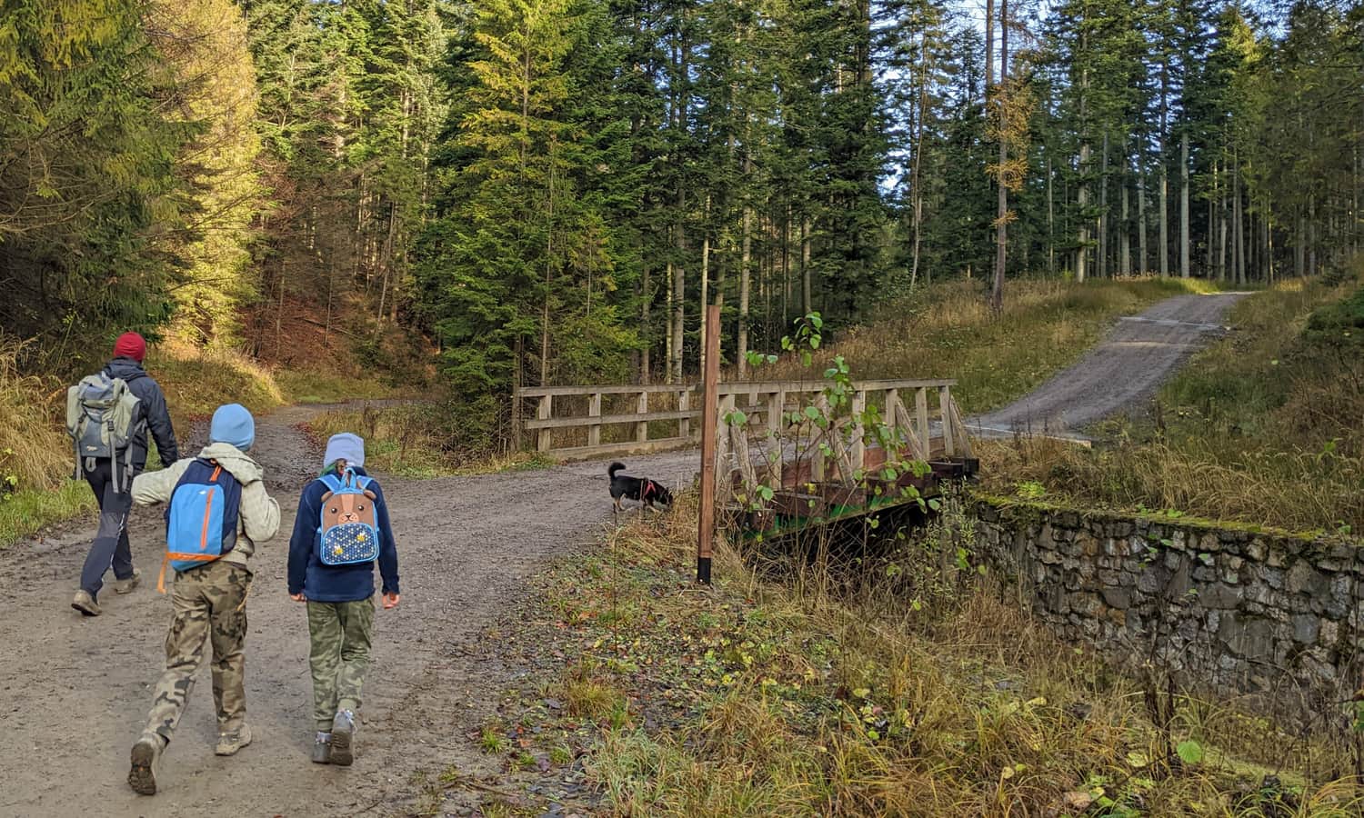
Start of the trail to Romanka in Żabnica
To reach Romanka from Żabnica, we can take two routes - both start in Żabica-Skałka (ample free parking plus several paid parking lots). The longer, but more scenic route leads through Hale Pawlusia, Martoszka, and Hala Łyśniowska, while the shorter route goes through Słowianka.
Through Słowianka to Romanka
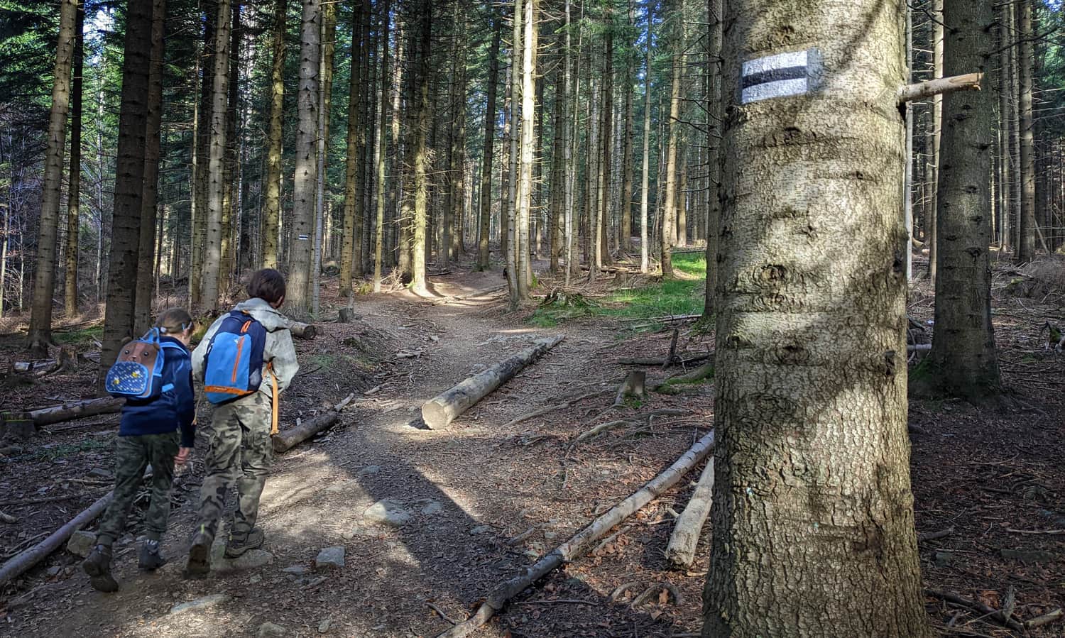
By choosing the route through Słowianka, we follow the black trail. More than half of the trail leads us along a comfortable path alongside the Suchy stream.
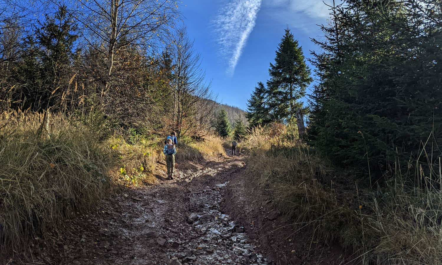
Only the last 30 minutes will be a climb through the forest:
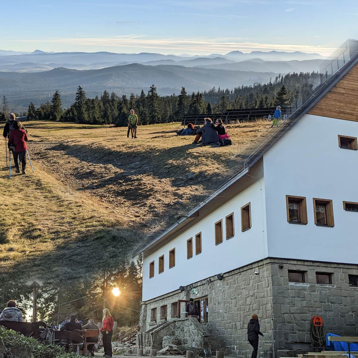
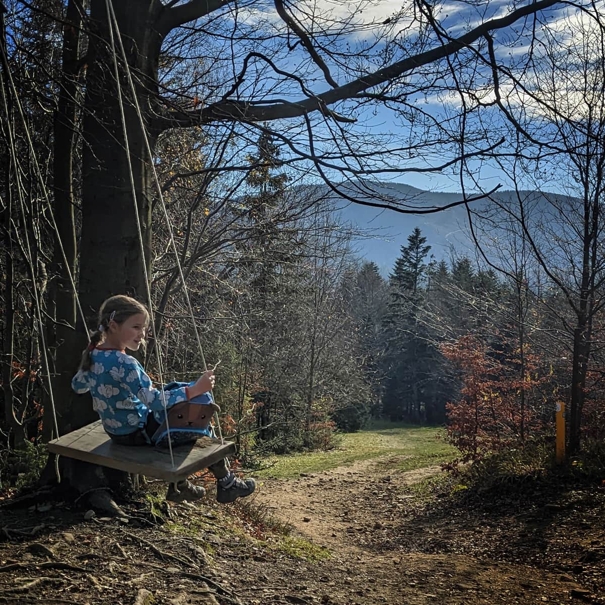
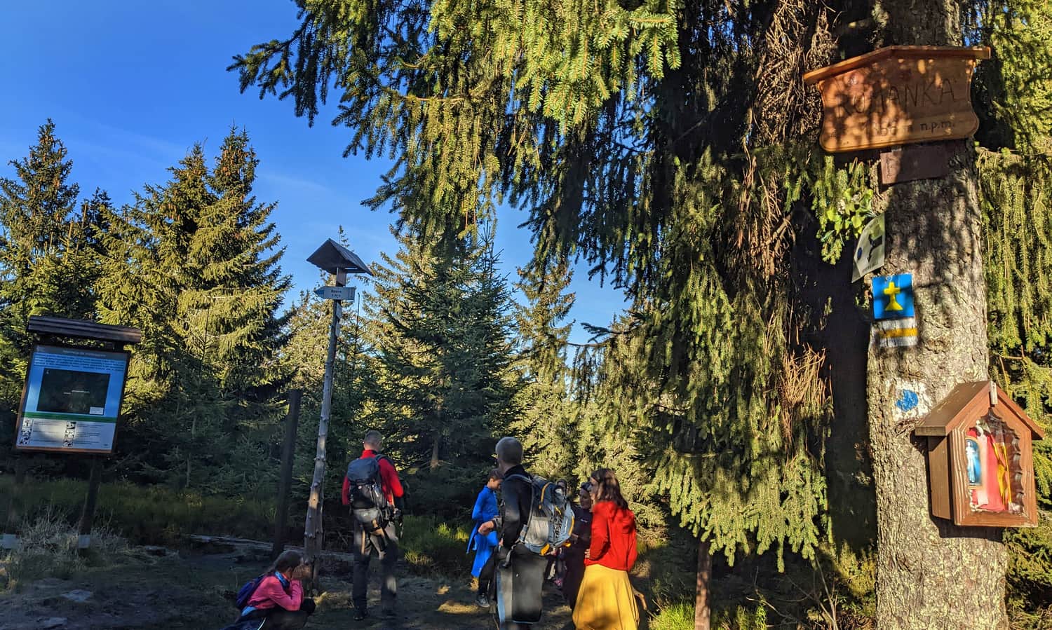
In about 1 hour from leaving Żabnica, we will reach the Słowianka Tourist Station.

Here, we can rest, have a snack, swing on a swing... and then continue!
Easy
Słowianka from Żabnica

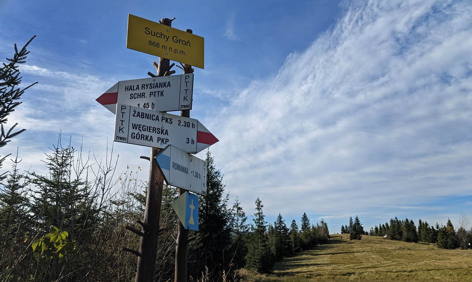
Słowianka - Suchy Groń
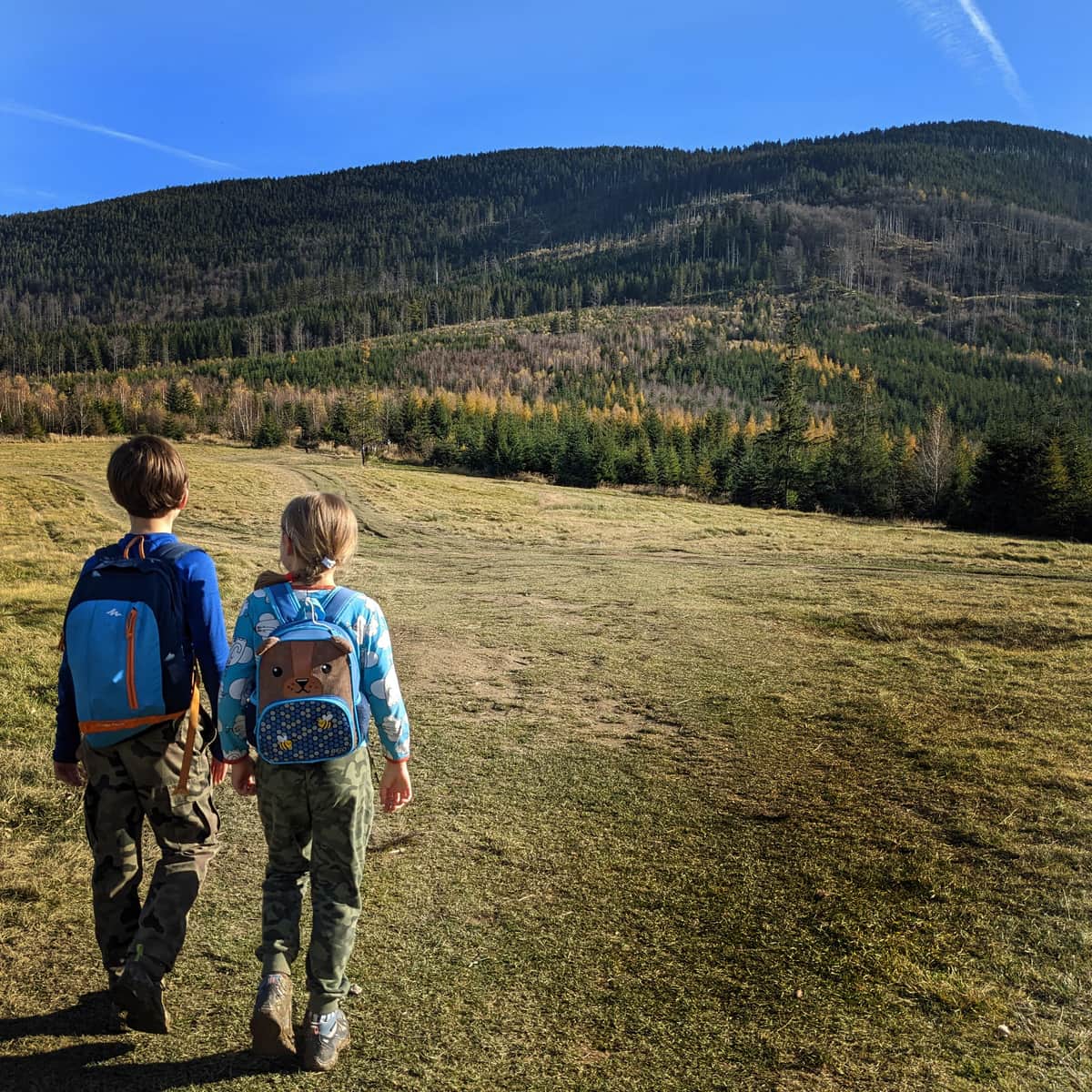
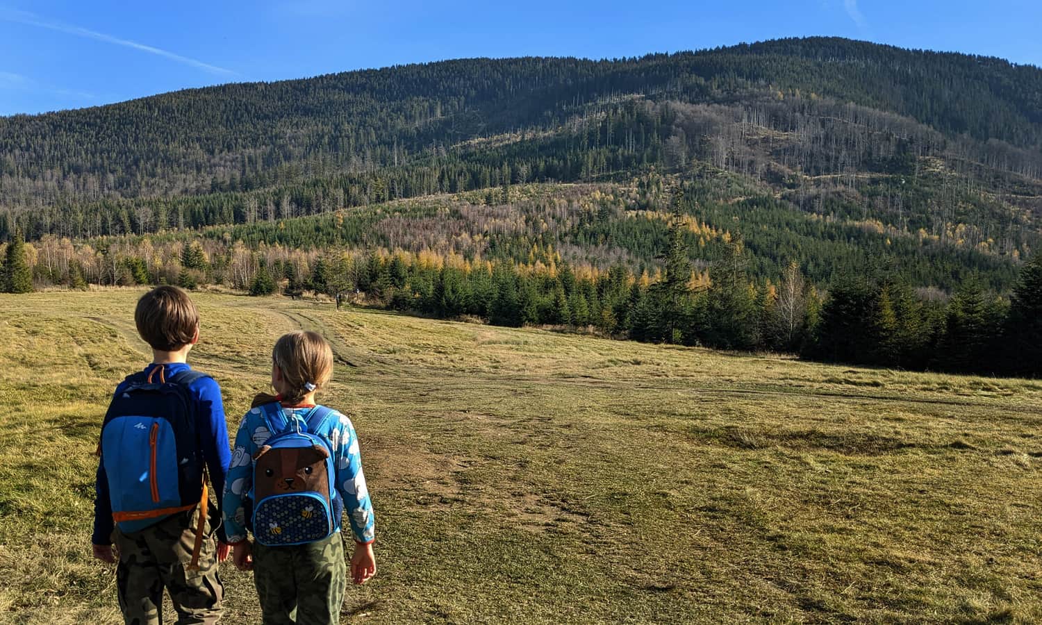
From Słowianka, we continue on a comfortable field-forest road to the meadows on Suchy Groń. It is a pleasant walk before the upcoming climb.
At Suchy Groń, the blue and red trails diverge - the red one goes downhill, along the slopes of Romanka, towards Przełęcz Pawlusia. We choose the blue signs and head towards the summit!
Blue trail to the summit of Romanka
From Suchy Groń to the summit of Romanka, we have to overcome a height difference of 500 meters...
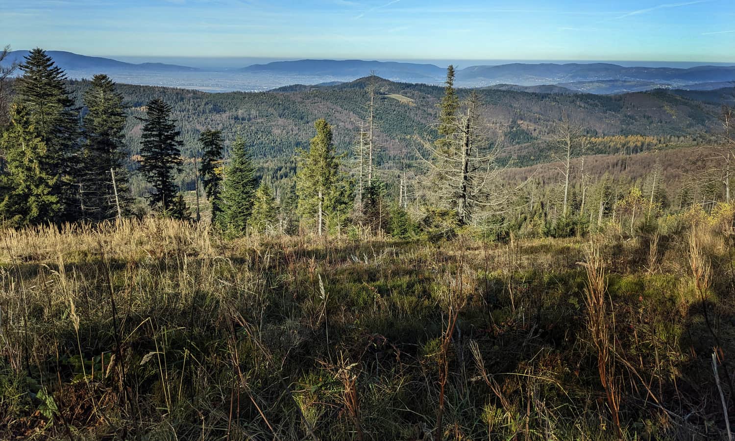
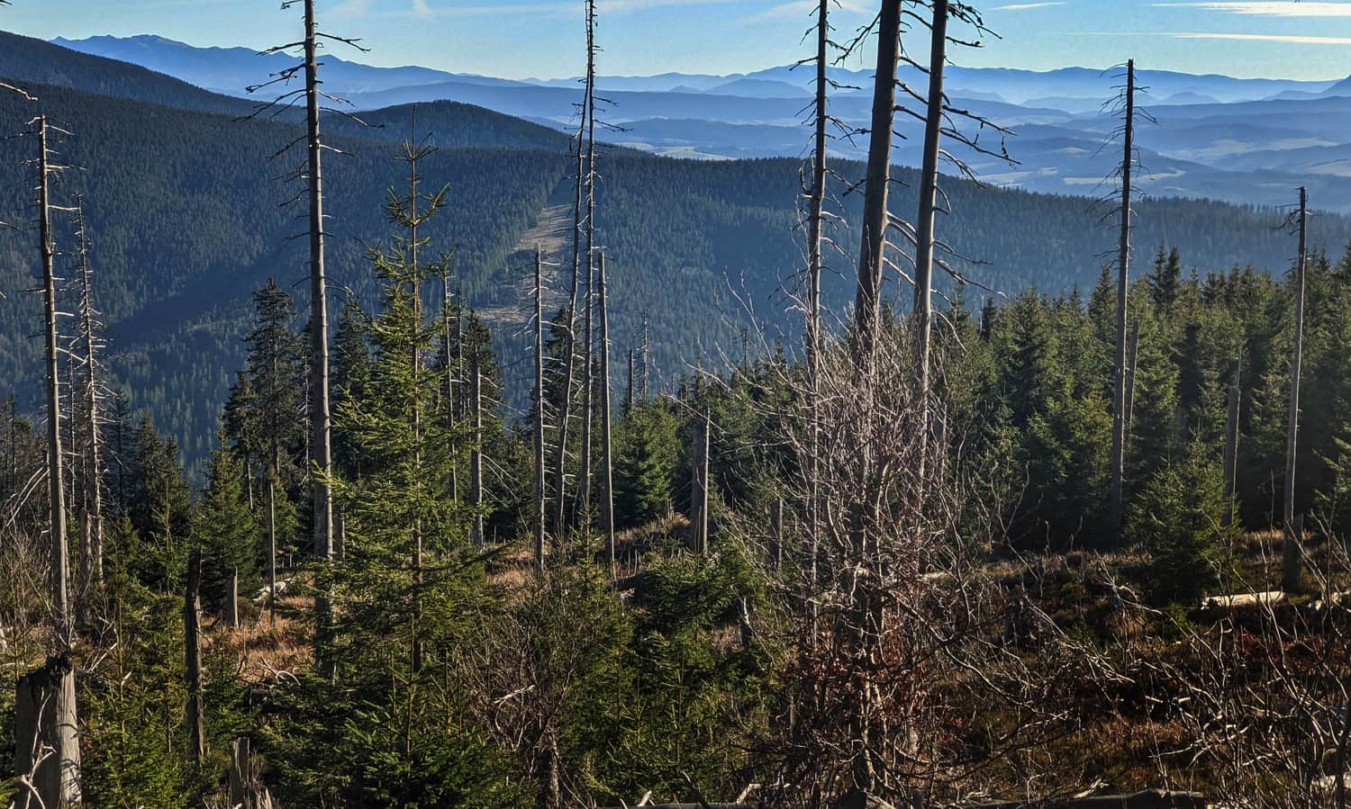
Yes, it will be uphill, sometimes steep, but along the way, we will be rewarded with views to the northwest (including Skrzyczne with its characteristic mast).
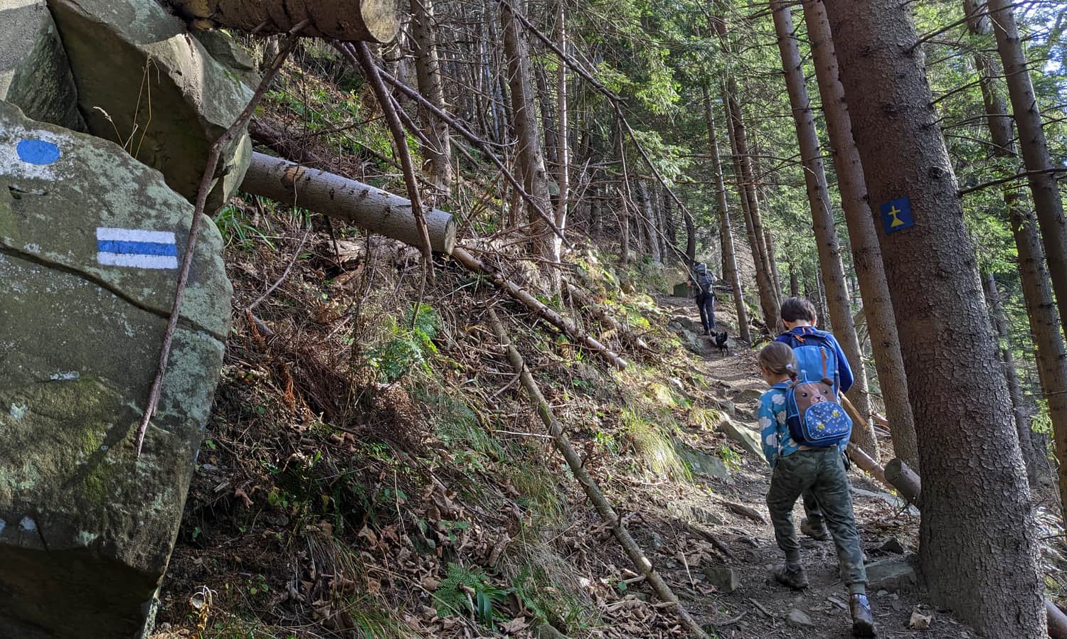
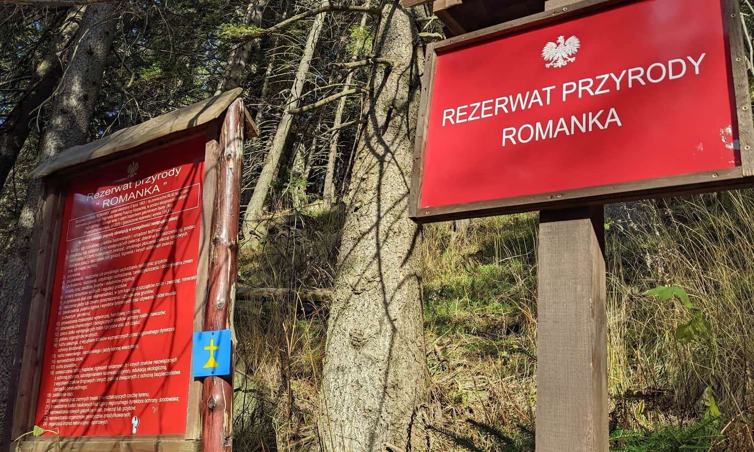
Just below the peak, already within the Romanka Nature Reserve, the trail will wind its way along a narrow path across the slope - we will be ascending, but at a moderate pace:

Romanka - summit at 1366 meters above sea level
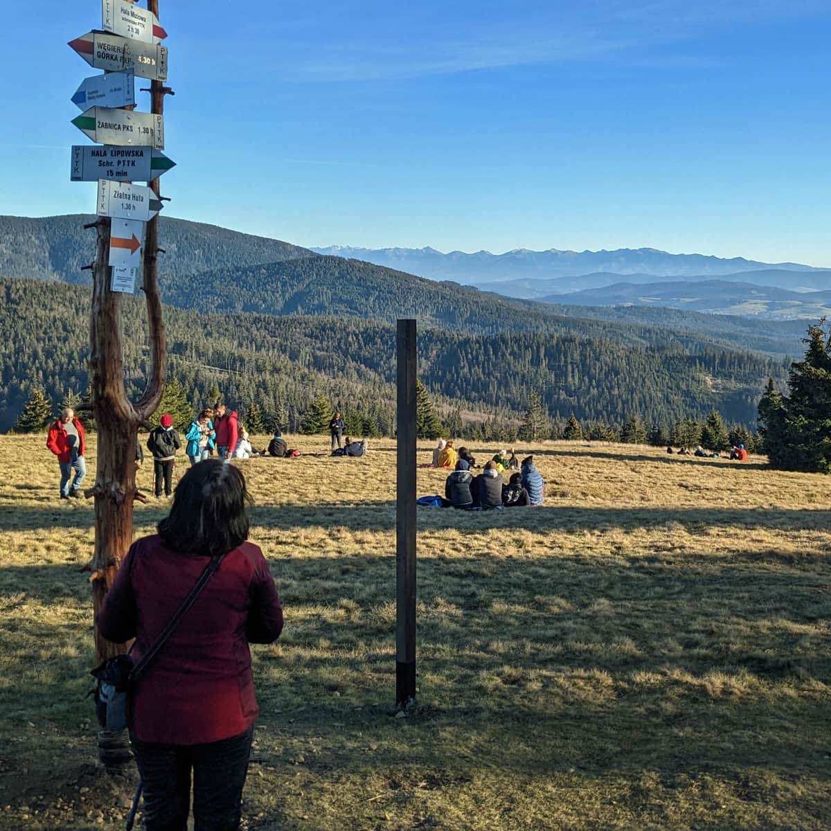
The summit of Romanka is forested. Apart from a signpost and a small rock, there is nothing interesting here...
To enjoy the views, we need to descend a bit - the best way is to take the yellow trail towards Rysianka. Just 5-10 minutes from the summit, a beautiful panorama of the southeast awaits.
PS. The immediate vicinity of the Romanka summit is part of the Romanka Nature Reserve - if you do not want to violate its regulations, dogs are not allowed here...
Romanka - return to Żabnica
We can return to Żabnica the same way (the descent takes less than 2 hours), or take the yellow trail down through Przełęcz Pawlusia (amazing views!!!) to Hala Pawlusia, and then continue on the green trail straight to the parking lot in Żabnica (the descent time is practically the same as through Słowianka - about 2 hours).
...Alternatively, we can continue further through the picturesque meadows of Rysianka, Lipowska, Redykalna, and Boracza. This "loop around Żabnica": Żabnica - Słowianka - Romanka - Rysianka - Lipowska - Redykalna - Boracza - Żabnica is 20 km, 6.5 hours of hiking, and offers the most beautiful views of the Beskids throughout the entire route! See it for yourself:
Medium
Rysianka, Lipowska, Redykalna, Boracza Hall - loop from Żabnica