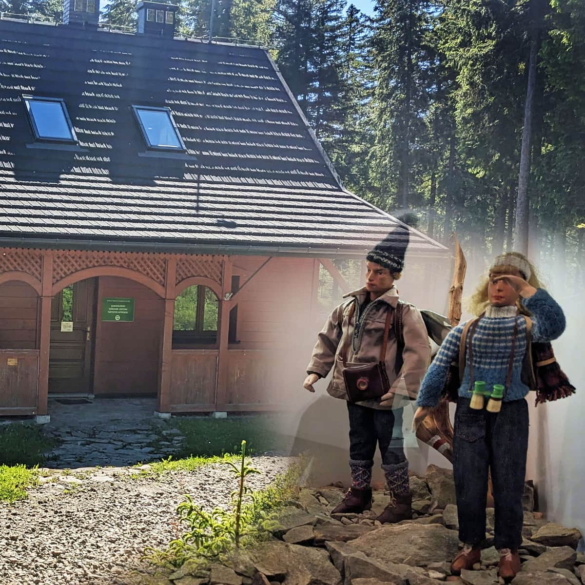
Słowianka from Żabnica
Nearby: Żywiec| Distance | 3.1km |
|---|---|
| Time | 1h 25min |
| Ascents | 263m |
| Descents | 16m |
beach_access Route in the shade
restaurant Restaurant or bar nearby
directions_car Access by car
directions_bus Can be reached by bus
wc Toilet along the route
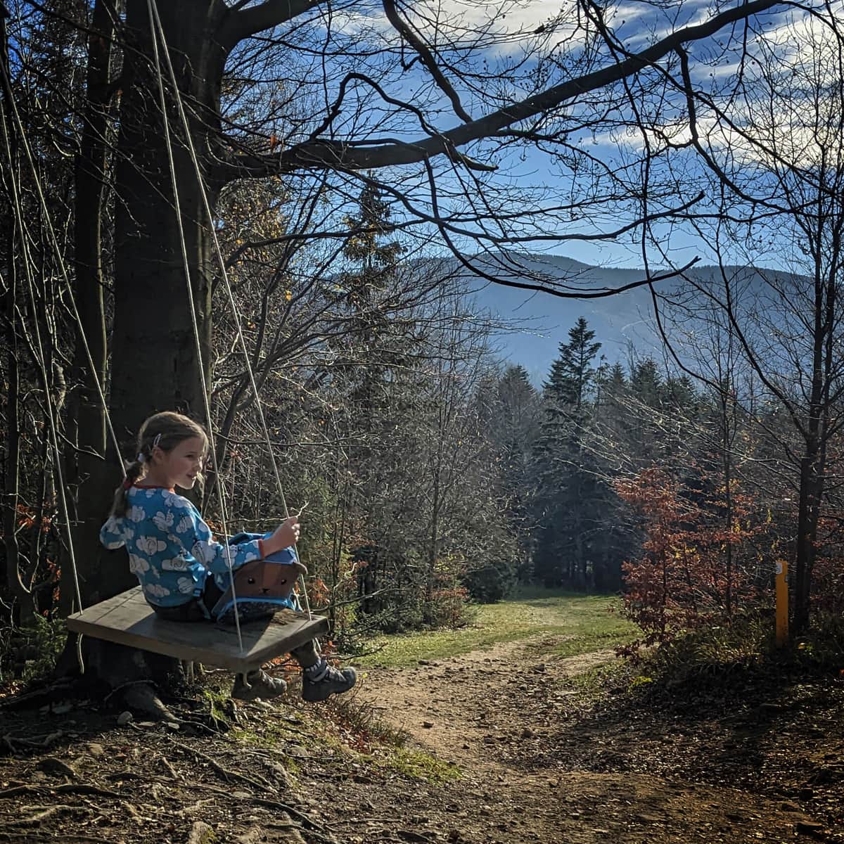
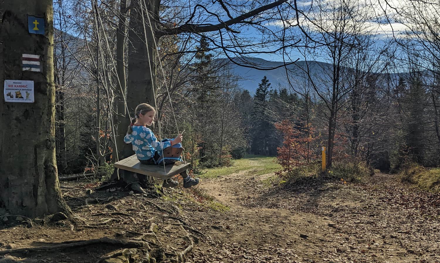
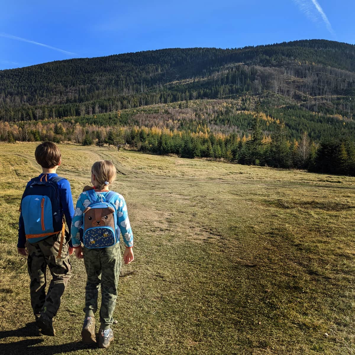
An easy, short route for a family mountain walk. On-site, you will find scenic meadows, a tourist station, and a place for a bonfire... and of course, a swing!
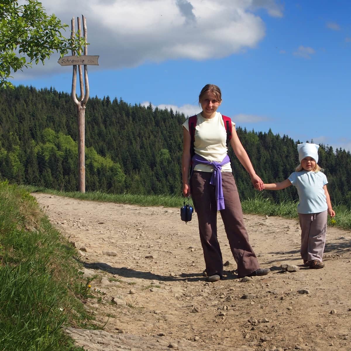
From Żabnica to Słowianka
There are two trails leading from Żabnica to the Mountain Tourist Station Słowianka: the longer red trail starts from the town center (takes less than 3 hours and covers nearly 8 km one way), and the shorter black trail starts from Żabnica Skałka.
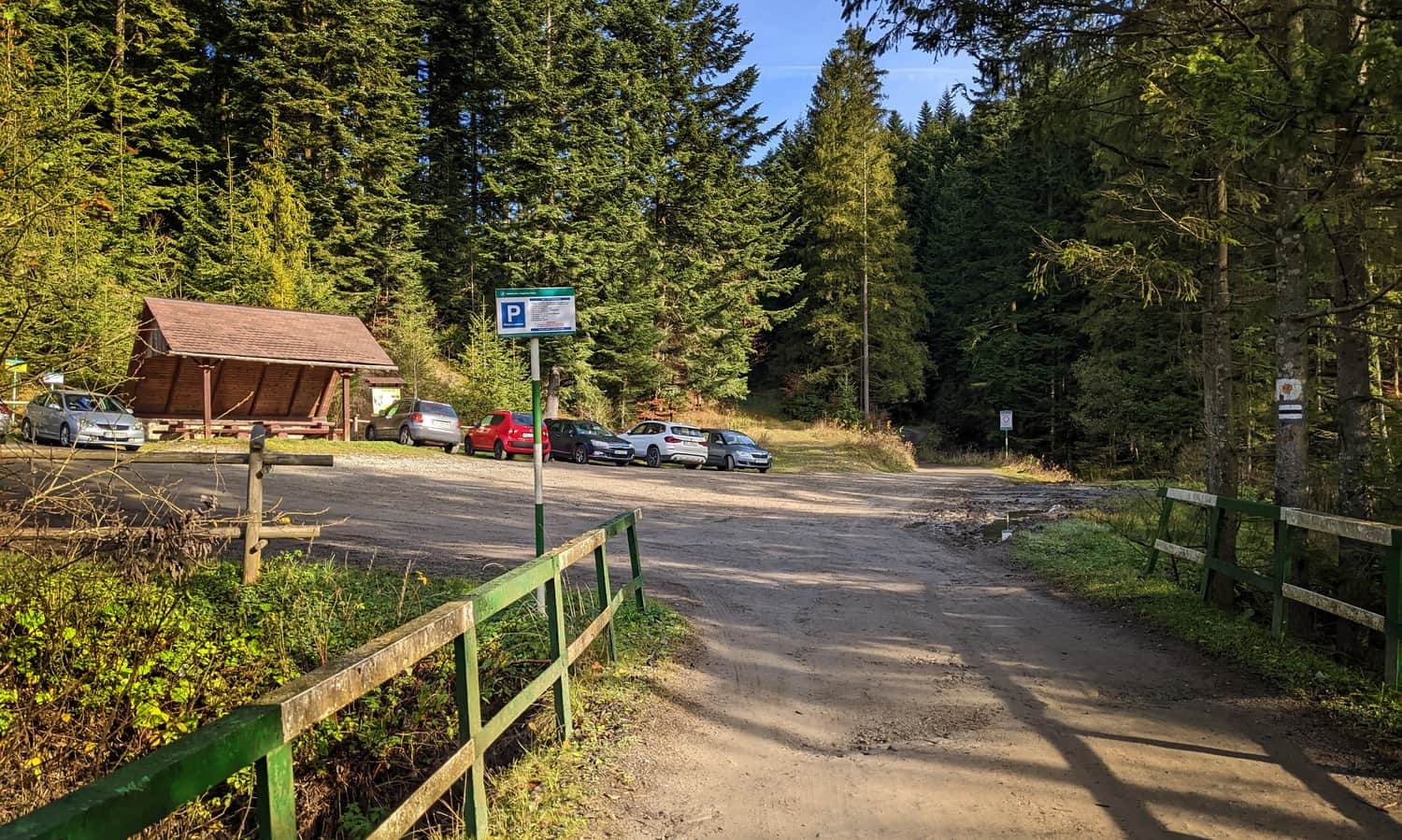
You can find parking at Żabnica Skałka at the end of the asphalt road (free and a few paid spots), but also a bit further at the forest border (see the photo on the map):
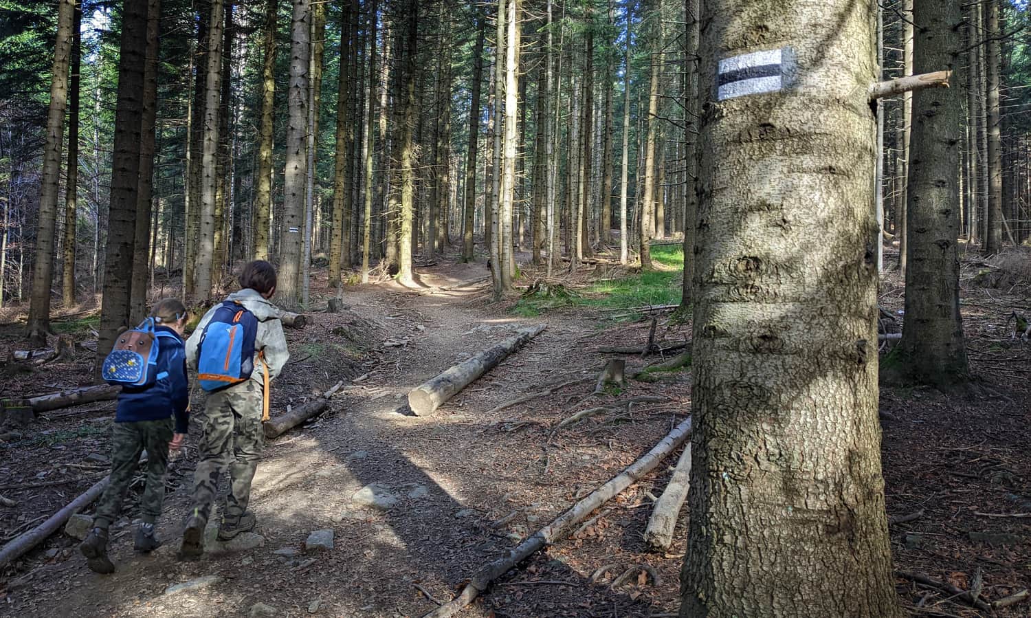
Black Trail to Słowianka
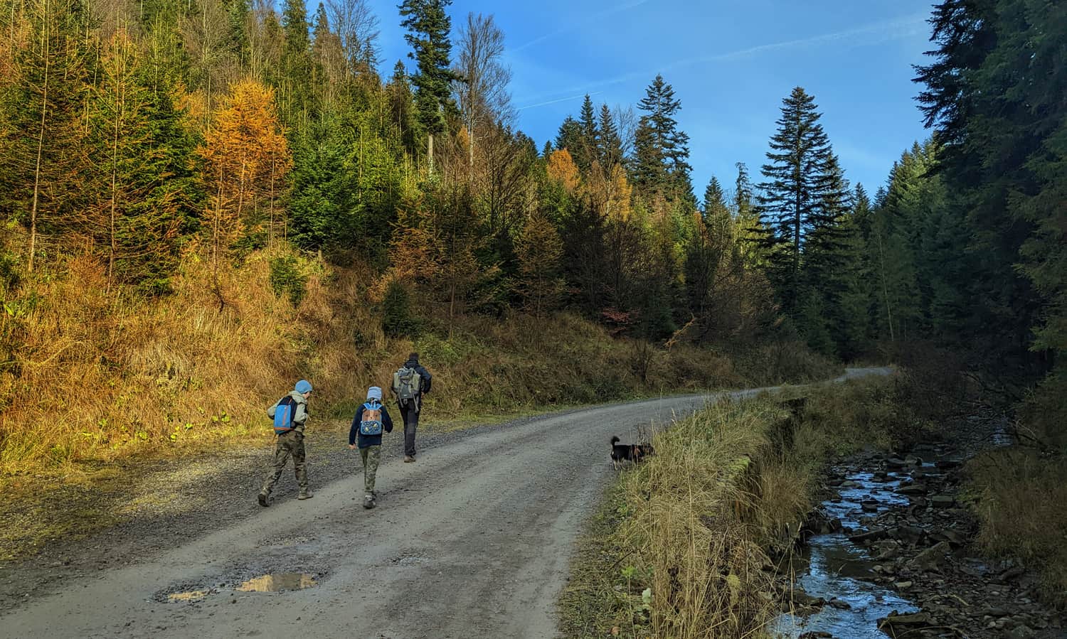
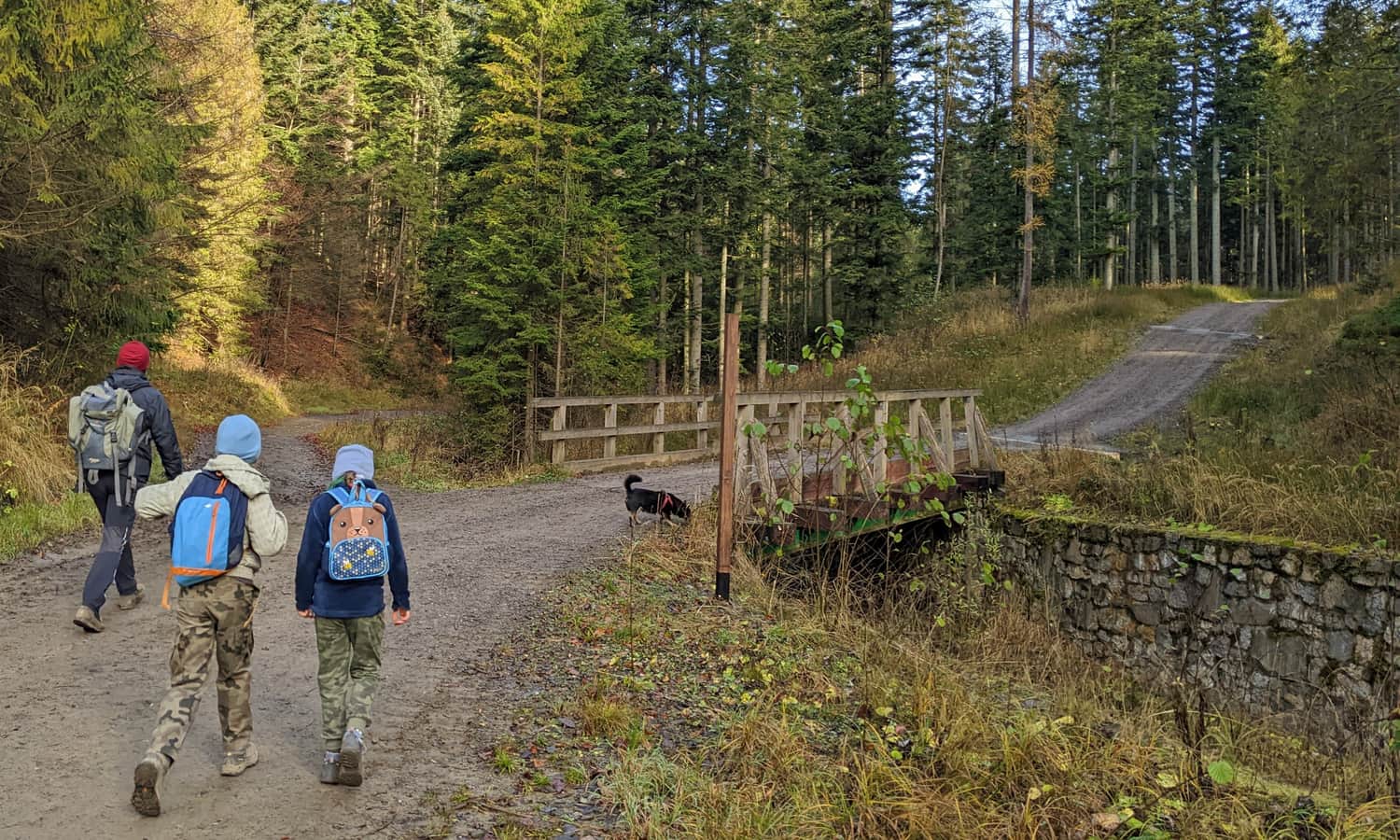
The black trail leads us through the valley of the Suchy stream for almost two kilometers on a wide paved road. The trail is comfortable enough that you can easily take a stroll with a stroller with larger wheels on this section.
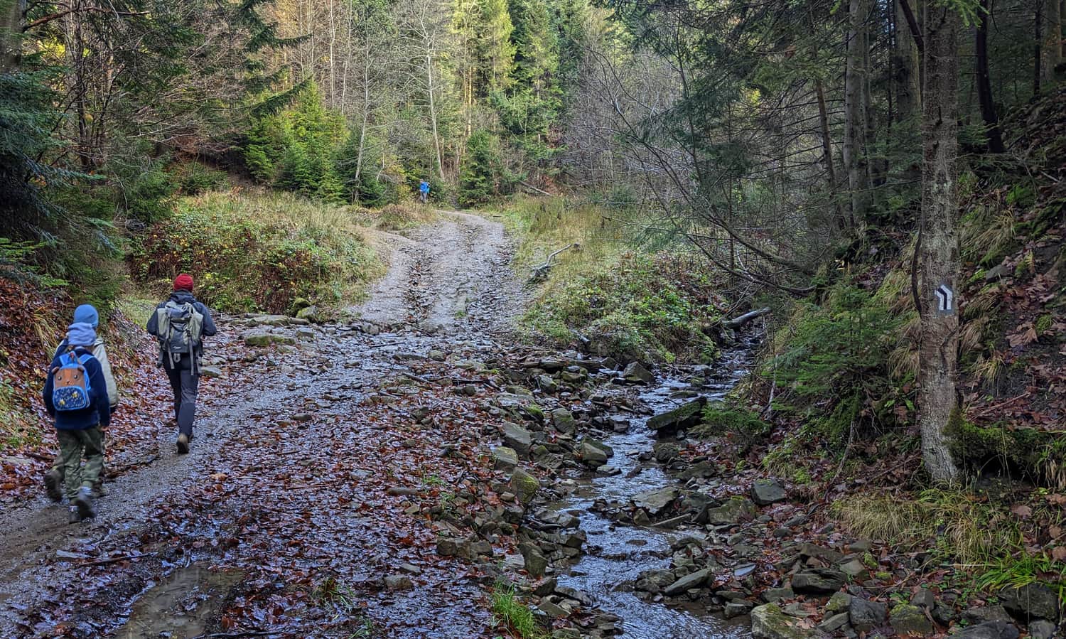
Only the last 30 minutes of the route involve a typical forest climb (over a distance of 1 km, we cover a height difference of 150 m):
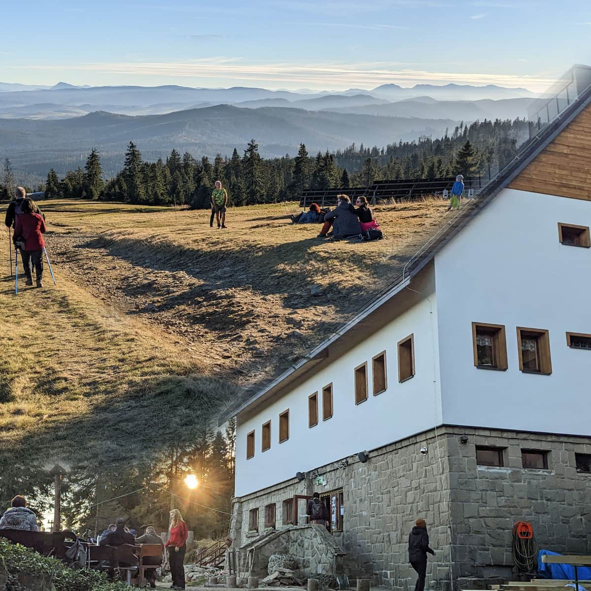
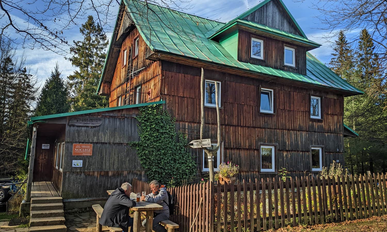
Mountain Tourist Station Słowianka - Attractions
Słowianka is a peaceful place (accommodation available). On a small meadow, you will find several benches, tables, a place for a bonfire... and a swing! At Słowianka, you can buy snacks and drinks (no hot dishes).
Słowianka - Trails and Views
From Słowianka, you can admire the massif of Romanka (to the left) and Lipowski Wierch (to the right).
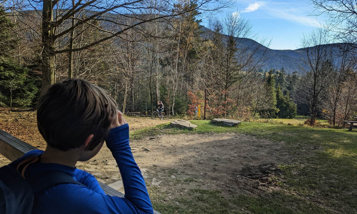
For better views, you can take a 15-minute walk to the nearby Hala na Suchym Groniu - from there, you can also see Skrzyczne and the surrounding hills of the Silesian Beskids.
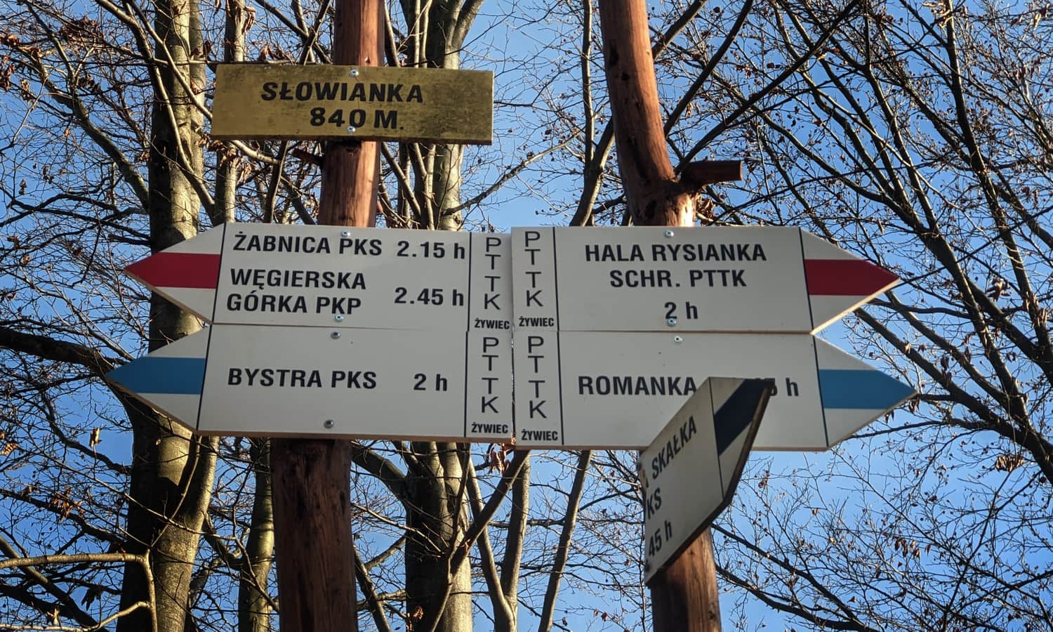
...and from Słowianka, you can, for example, head to the highest peak in the area, Romanka:
Medium
Romanka from Żabnica through Słowianka

PS. We have chosen this route for our ranking "TOP 15: Easiest Mountain Trails for First Hikes with Children". Discover them all!
TOP 15: Easiest mountain trails for the first hikes with children in Poland
When our toddler outgrows the carrier and wants to hike on their own, we need to choose a trail that suits their abilities. The satisfaction of conquering their first summit will be invaluable and will remain in the child's memory... and the parents' memory too! ...

Publish Date:
Last Updated: