
Jałowiec - Trails and Loops
Jałowiec is a peak located on the border of the Silesian and Lesser Poland Voivodeships, belonging to the Żywiec Beskids (or formerly the Maków Beskids). It is not a very high hill, easy to climb, and it offers a beautiful panoramic meadow at the top.
Jałowiec - Mountain No. 1!
And the height! 1111 meters above sea level! As our children said, it's a mountain for those "less skilled" students ;) Some claim that the summit is slightly higher, but shh... let's not change that sign!
Jałowiec and Hala Trzebuńska - Views
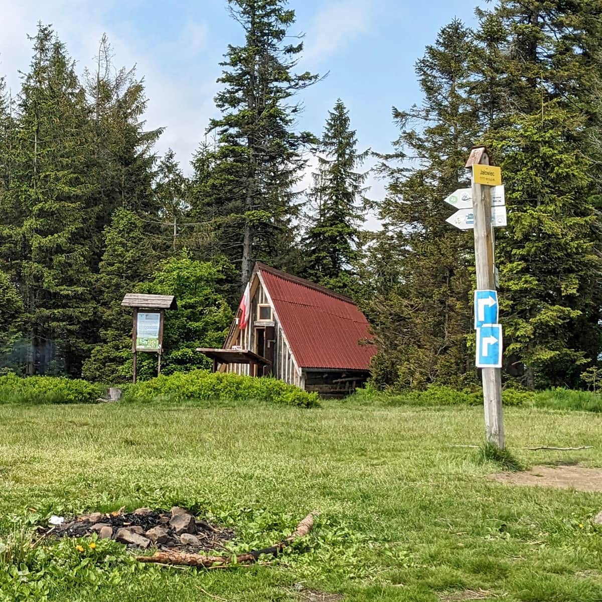
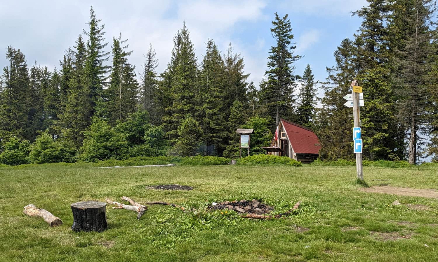
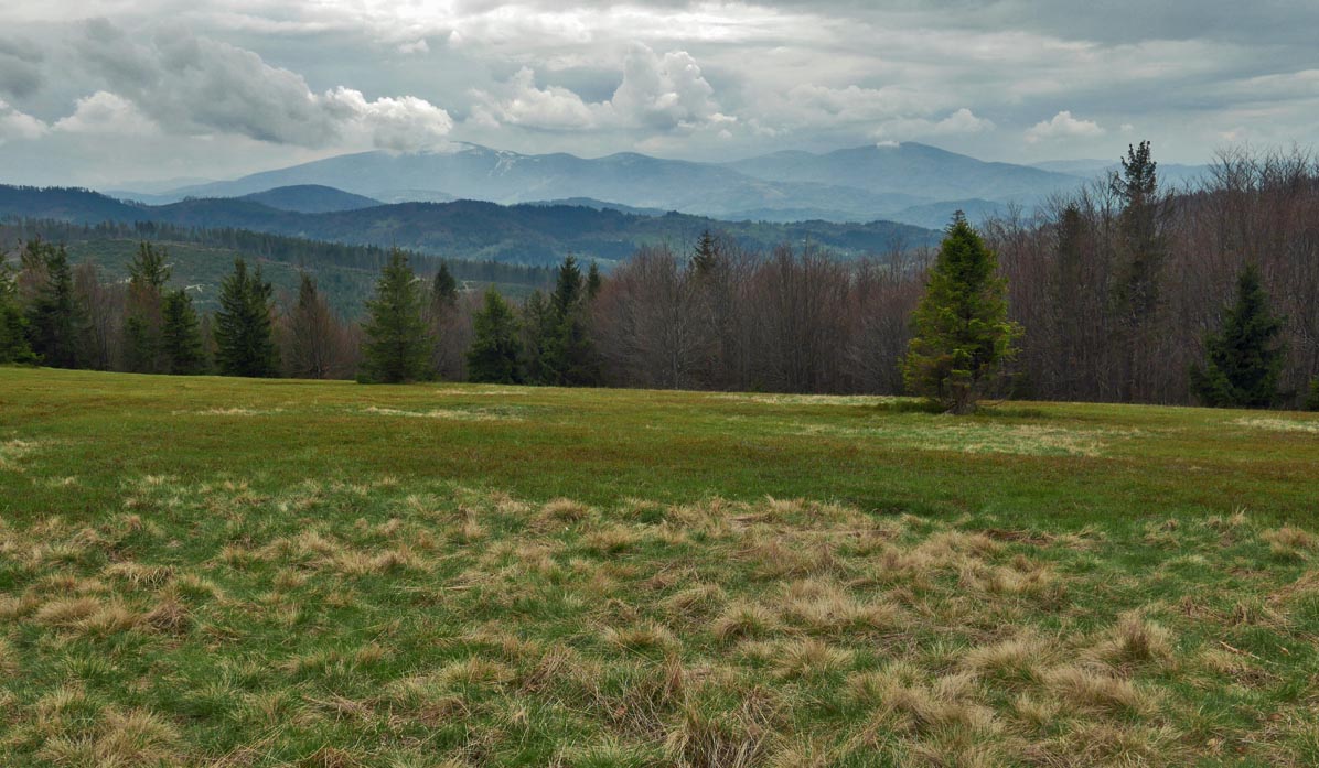
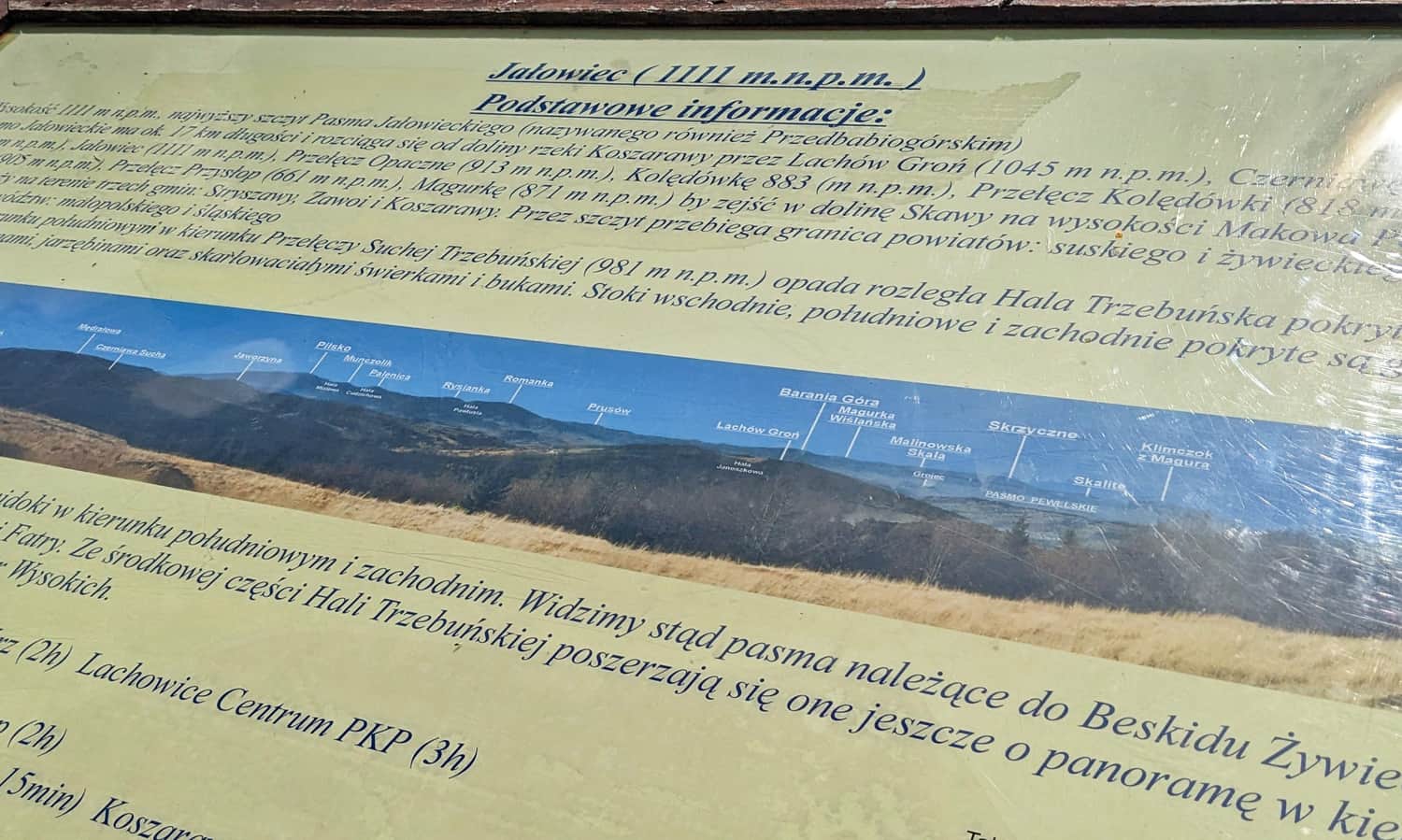
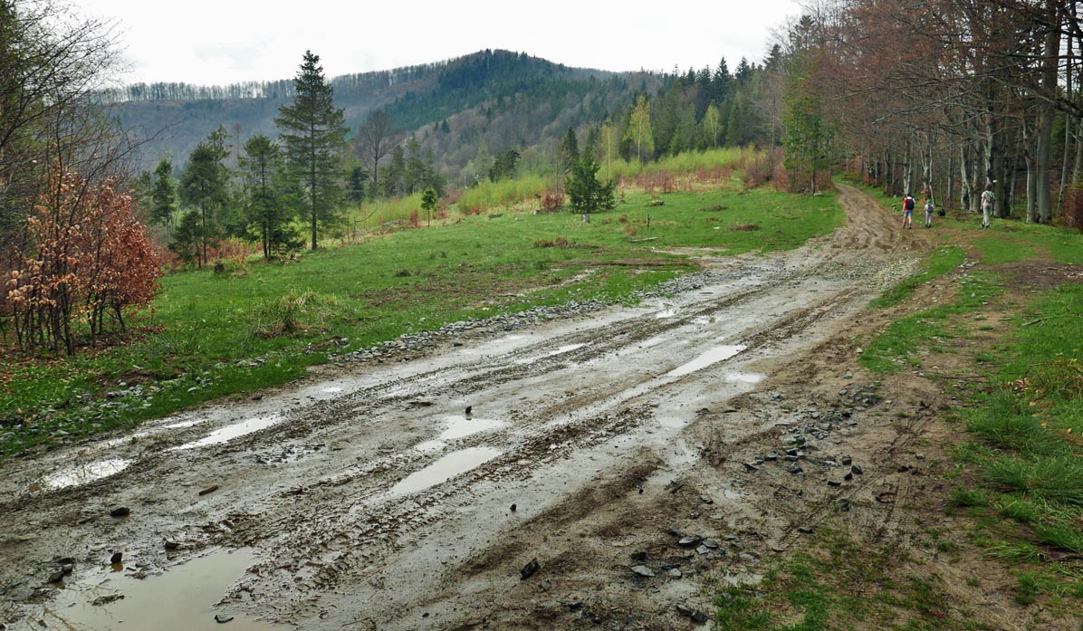
At the top of Jałowiec, there is a shelter, a place for a bonfire, but above all, breathtaking views! Panorama from Babia Góra (barely visible above the trees), through Pilsko, Rysianka, Romanka, to Barania Góra.
Individual peaks are described on the board near the shelter:
There is currently no catering facility - we bring our own supplies! The privately owned shelter at Przełęcz Opaczne is currently closed (as of June 2023).
Jałowiec - Interesting Facts
Today, the border between voivodeships runs through here, but in the past, it was a state border. During World War II, there were border guard posts here, marking the border between the General Government and the Third Reich. Ruins of border guard posts can be found in the vicinity of the summit (behind the shelter) and at its foot, at Przełęcz Cicha (at the junction of the blue trail to Lachowice and the "cieżka chatkowa" with red houses on a white background).
How to Get to Jałowiec?
There are many trails leading to the summit of Jałowiec. The shortest trails to Jałowiec start from Koszarawa (1 hour and 30 minutes one way), from Stryszawa Roztoki (1 hour and 45 minutes one way), and from Zawoja Wełcza (1 hour and 45 minutes one way). Others include the blue, green + yellow trail from the center of Zawoja (3 hours one way), the yellow trail from Koszarawa through Lachów Groń (3 hours one way), and the green + blue trail from Kaczorówka (3 hours and 15 minutes one way).
Jałowiec - Trail Loops
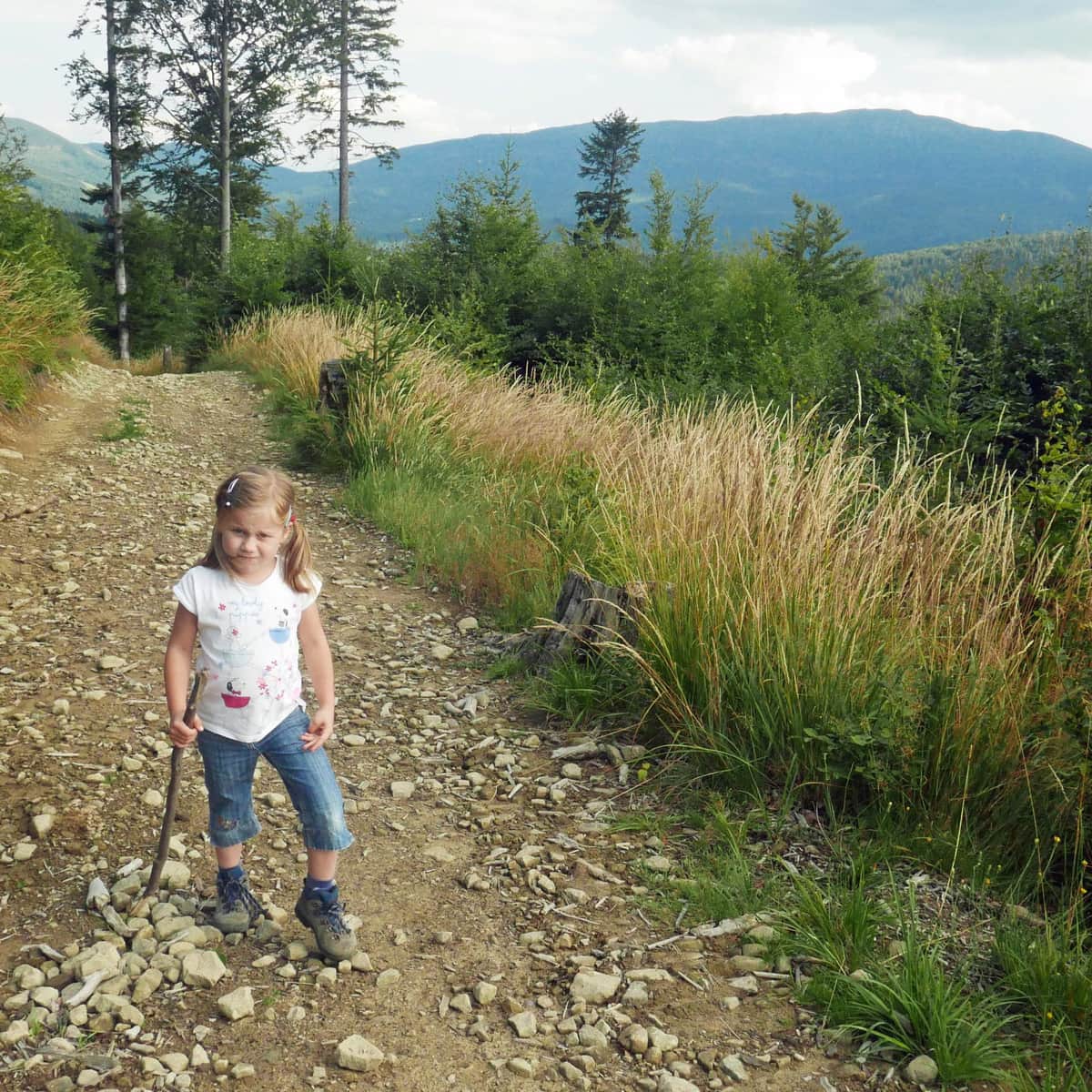
We propose two trail loops to Jałowiec, both of which are not very difficult and offer scenic views.
Loop to Jałowiec from Stryszawa:
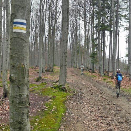
We ascend on the green trail to Przełęcz Kolędówki, then take the yellow trail through Przełęcz Opaczne to the summit of Jałowiec, and descend on the blue trail towards Lachowice through a picturesque floodplain beech forest to the hamlet of Wsiórz.
Medium
Stryszawa Matusy - Jałowiec, loop

Loop to Jałowiec from Zawoja:
From Zawoja Wełcza, we ascend on the blue trail to Jałowiec, descend on the yellow trail through Przełęcz Opaczne, and then take the asphalt road (cycling trail) from Przełęcz Kolędówki.
Medium
From Zawoja to Jałowiec - loop

PS. If you are planning to visit Jałowiec, we recommend visiting the extraordinary museum in Stryszawa:
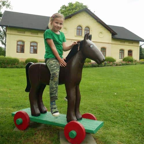
Stryszawa: Beskid Wooden Toy Center
The Best Toy Museum? One where we can play! ...And even literally "enter the world of toys": Beskid C ...

Publish Date:
Last Updated: