From Zawoja to Jałowiec - loop
Town: Zawoja Nearby: Sucha Beskidzkabeach_access Route in the shade
restaurant Restaurant or bar nearby
directions_car Access by car
directions_bus Can be reached by bus
wc Toilet along the route
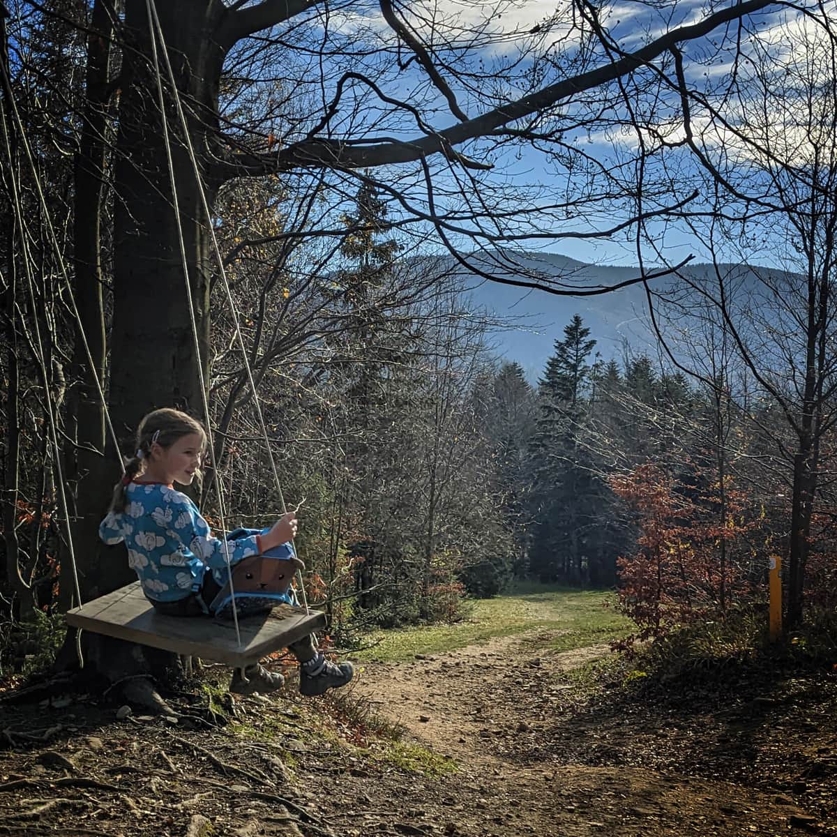
Jałowiec is not a very high (1111 meters above sea level) and not very difficult to reach peak with a beautiful viewpoint meadow. It is located in the Żywiec Beskids (formerly Makowski). We can reach it by following the blue trail from Zawoja Wełcza and make a loop by descending through Opaczne and Kolędówki.
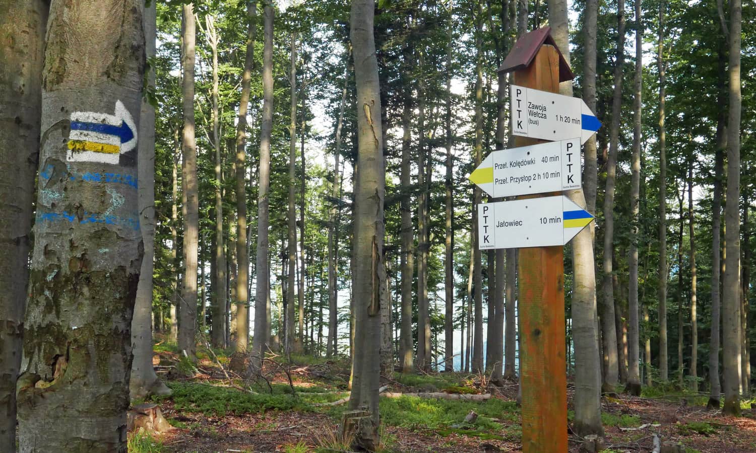
Beginning of the Blue Trail from Zawoja Wełcza to Jałowiec
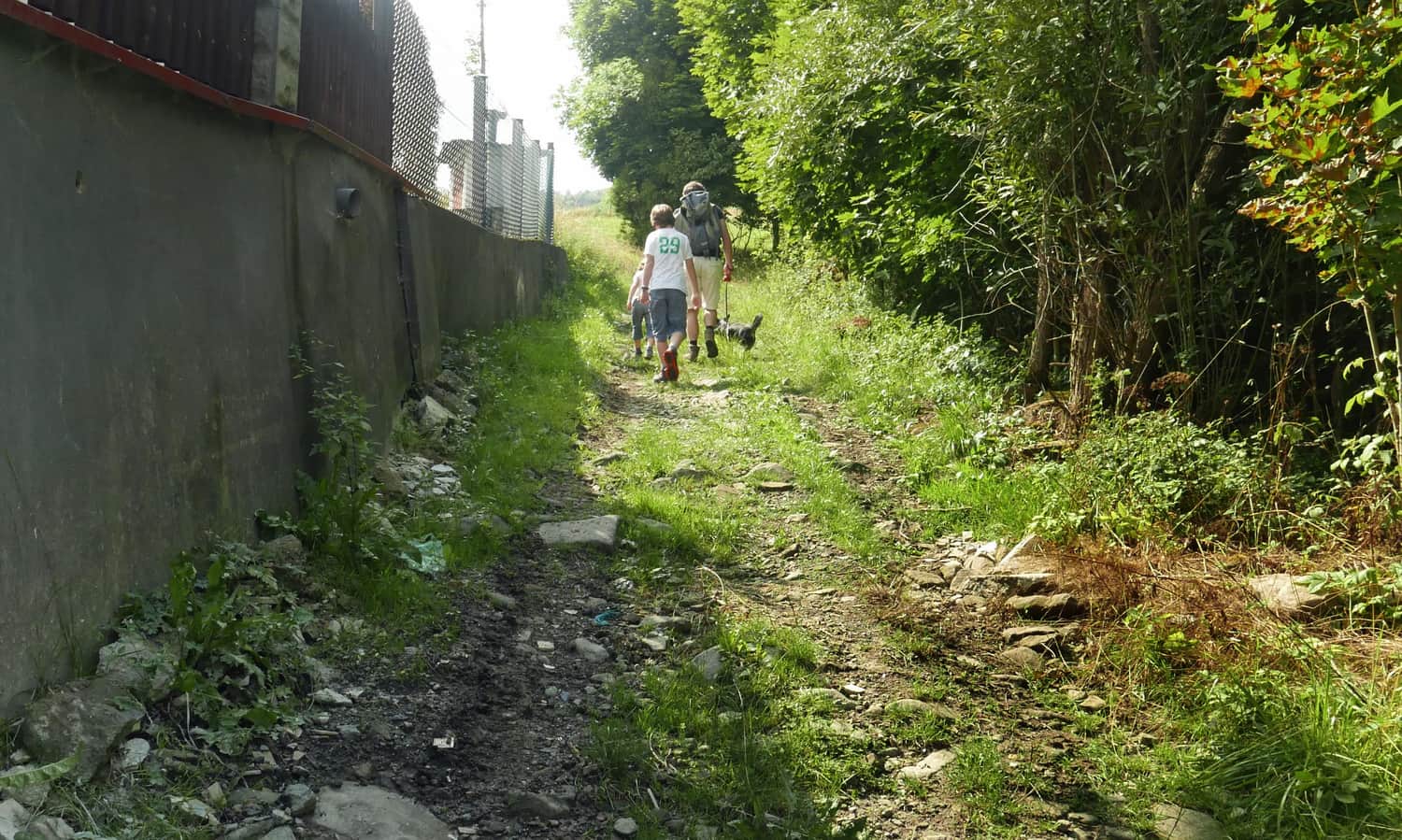
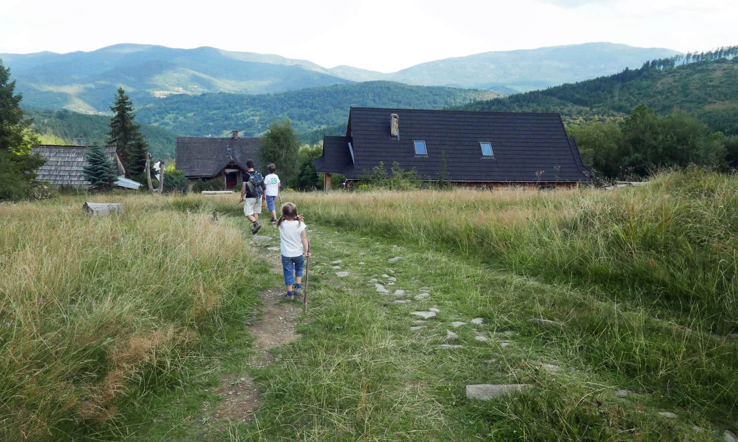
The blue trail to Jałowiec from Zawoja Wełcza starts right next to the PTSM shelter (parking, grocery store, bus stop). You can also park in a small bay near the bus stop where the blue trail turns off the asphalt road and goes uphill.
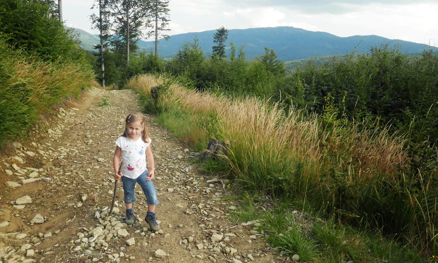
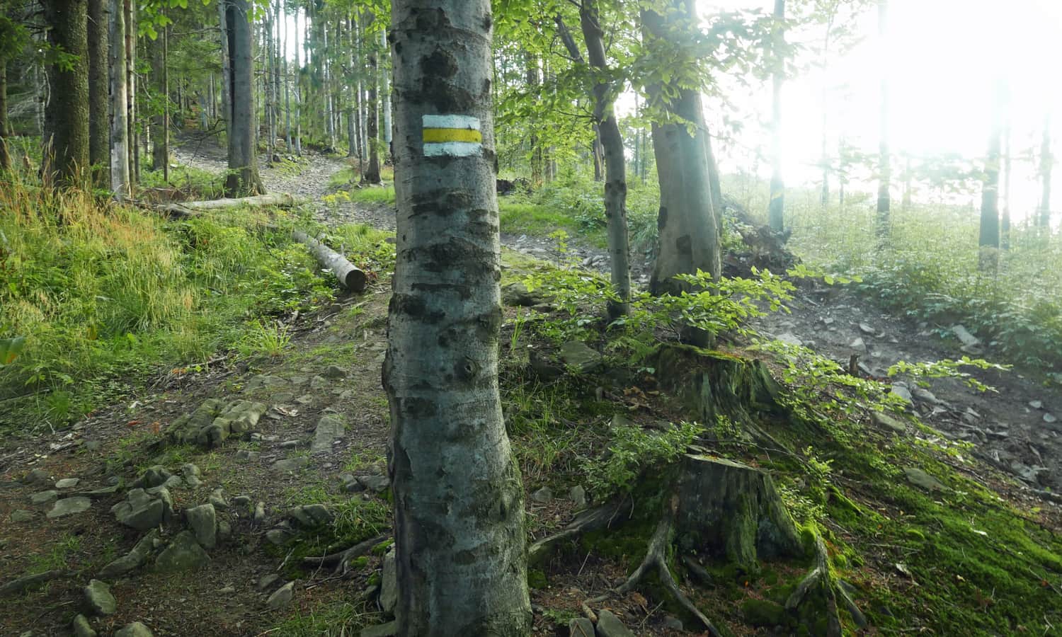
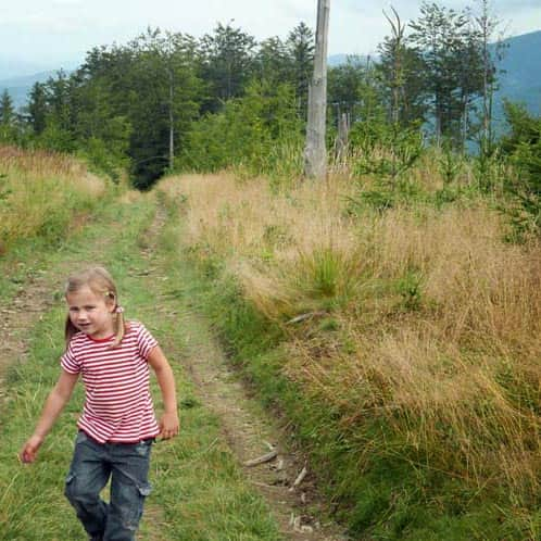
Initially, we walk along the edge of meadows and gradually ascend higher. After crossing a forest road, we continue to climb, but now we are accompanied by views - of course, of the Queen of the area: Babia Góra!
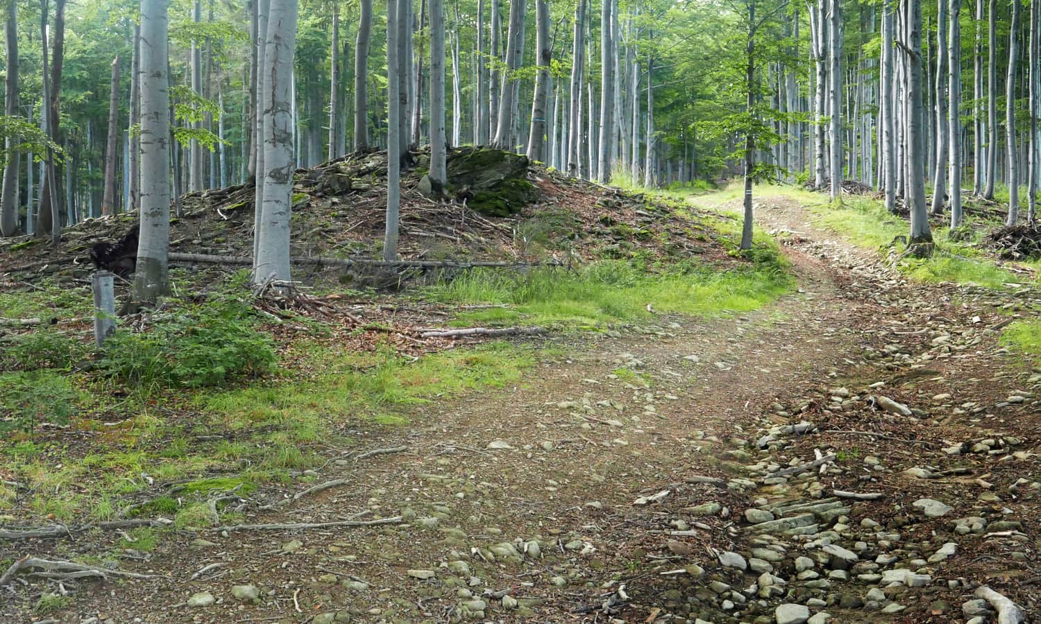
Upon reaching the ridge, we are greeted with a view of the opposite slopes of the Jałowiec range. From here, it's only about 10 minutes to the intersection with the yellow trail, and another 10 minutes of flat path to the summit.
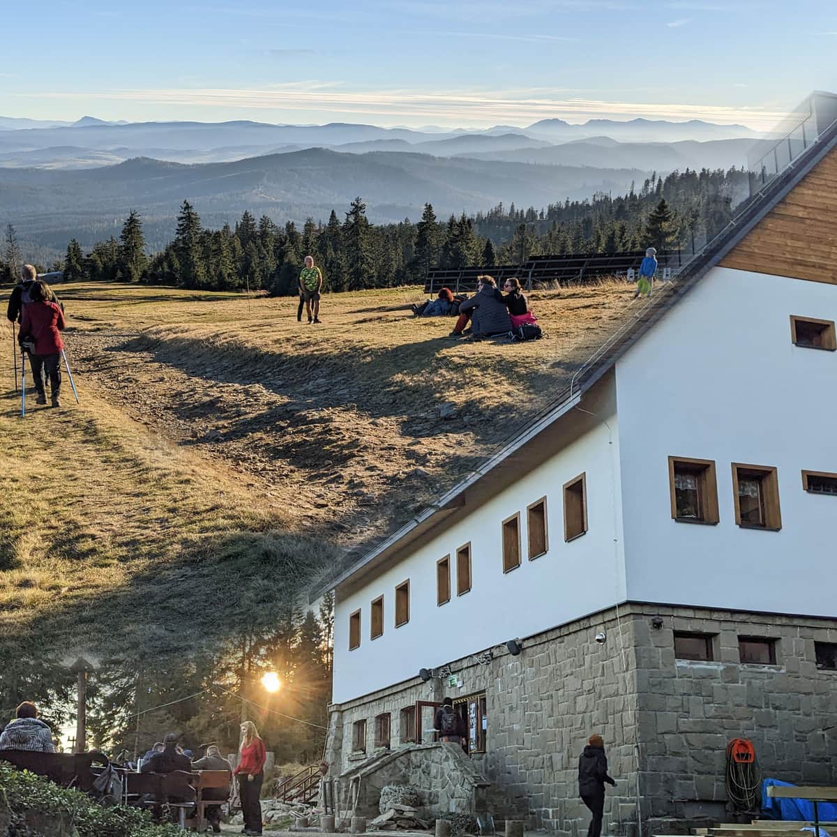
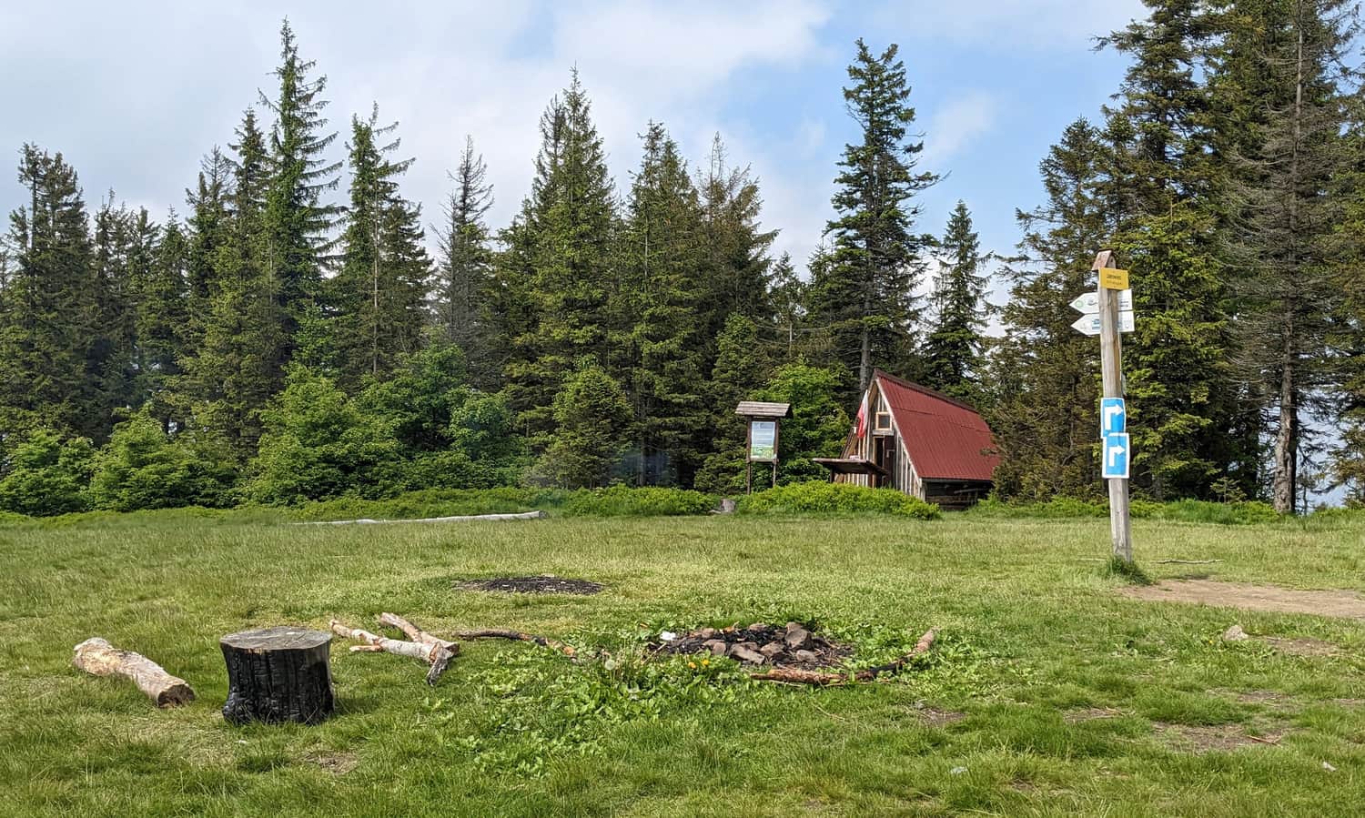
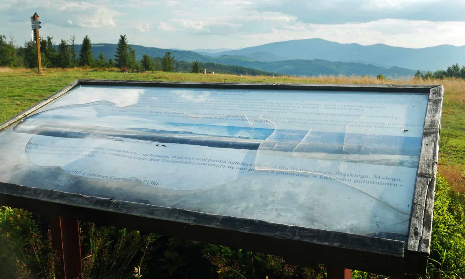
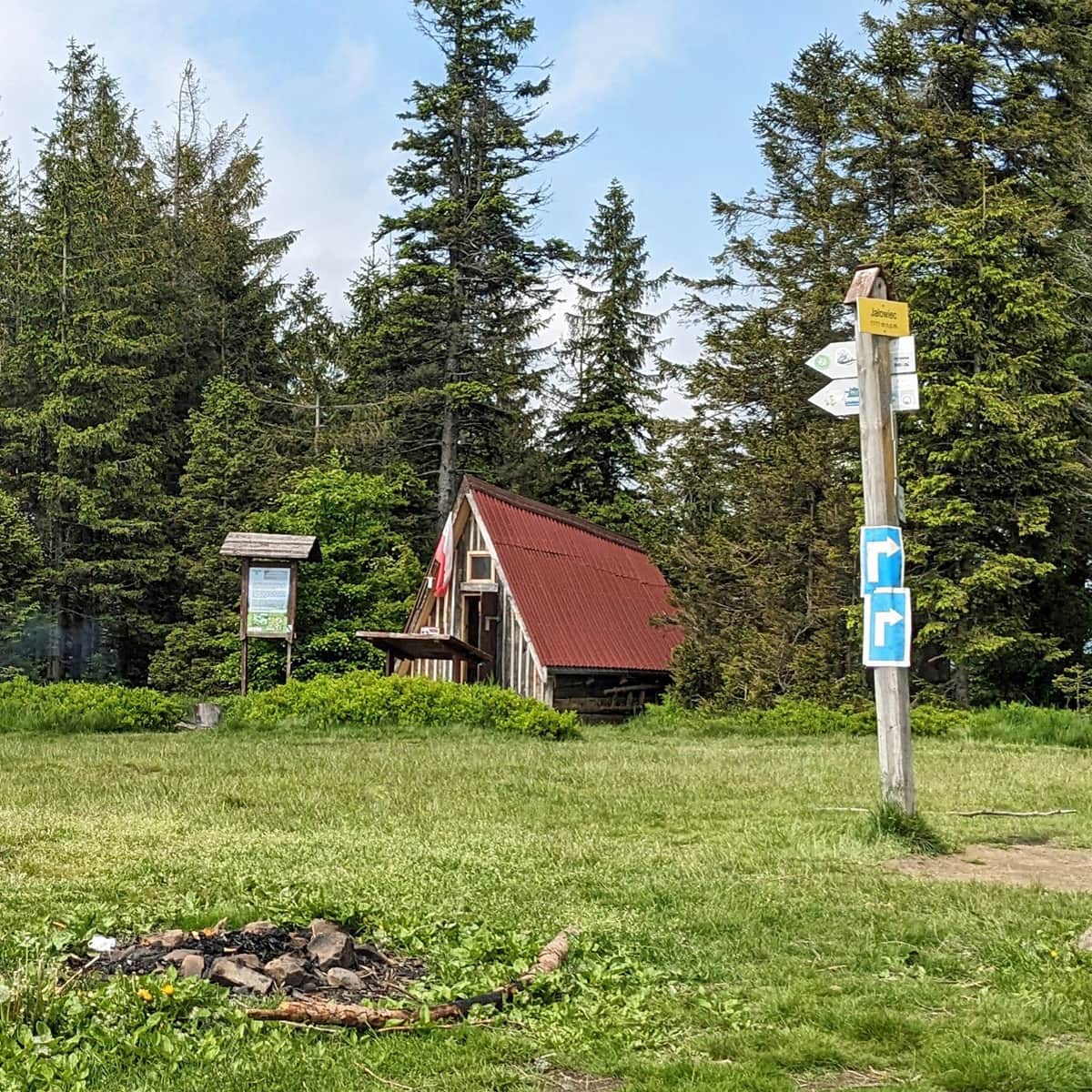
At the top of Jałowiec, there is a wide meadow, a shelter, a place for a bonfire, but above all, a panorama with a view of Pilsko, Rysianka, and Romanka.
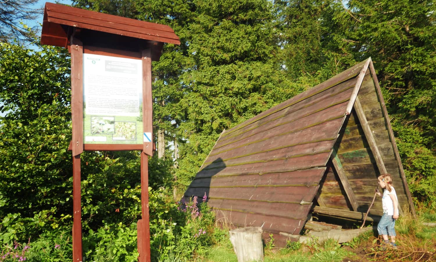
While descending from Jałowiec, we decided to visit a private shelter in the Opaczne neighborhood. So we followed the yellow trail (quite steep in some places!) and after about 30 minutes from the summit, we turned towards the meadow with the shelter. The shelter "W murowanej piwnicy" (In the Brick Basement) named after Rev. Prof. J. Tischner used to offer accommodation as well as simple meals, drinks, and sweets.
ATTENTION! Update - the shelter is standing (it even lights up), but closed, signs removed... Apparently, from time to time, the hostess opens a small shop with drinks and snacks.
We planned to reach a forest road from there and return to the blue trail from it, but finding the path was not easy, and the evening was getting closer, so we decided to return to the yellow trail from the shelter.

We reached the Kolędówka Pass in about 15 minutes along a straightforward and peaceful ridge route. There is a small bay for cars at the pass, and we descended on the asphalt road (red cycling trail) to Zawoja Wełcza - see the map in the article header. We had to walk back to the starting point, the PTSM shelter, for about 15 minutes along the main road.
OTHER TRAILS TO JAŁOWIEC:
Jałowiec - Trails and Loops
Jałowiec (1111 m above sea level) is a peak located on the border of the Silesian and Lesser Poland Voivodeships, belonging to the Żywiec Beskids (or Maków Beskids). ...
PS. This route has been included in our article "Around Babia Góra. Trails around Zawoja". Would you like to learn about the others?
Around Babia Góra. Trails in the vicinity of Zawoja
Where to go for a mountain hike from Zawoja? Not just to Babia Góra! The surrounding mountain ridges offer kilometers of beautiful scenic trails accessible to everyone! ...