Stryszawa Matusy - Jałowiec, loop
Nearby: Sucha Beskidzka| Distance | 12.7km |
|---|---|
| Time | 4h 54min |
| Ascents | 693m |
| Descents | 689m |
beach_access Route in the shade
directions_car Access by car
directions_bus Can be reached by bus
Jałowiec is a not very high and not too difficult to reach peak with a beautiful scenic meadow. It is located in the Żywiec Beskids (or formerly Makowski). We can get here, for example, by taking the green trail from Stryszawa and make a short and easy loop around the village.
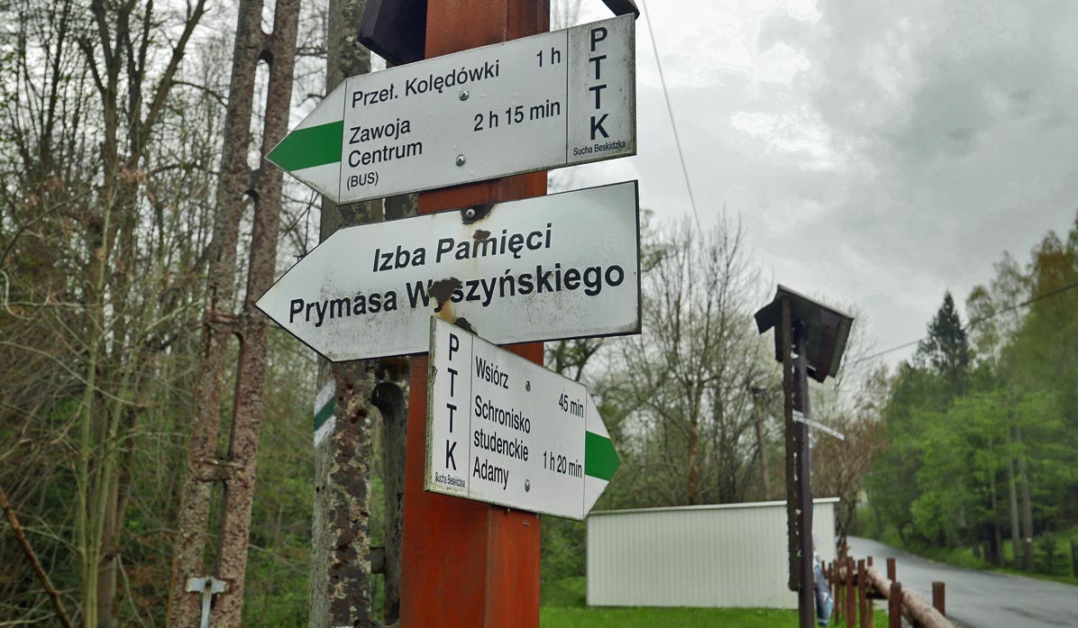
Start of the green trail to Jałowiec - Stryszawa Matusy
The green trail crosses the road right next to the Stryszawa Matusy bus stop.
There is a small bay here (for 3-4 cars). A designated parking lot is located near the Sisters of the Resurrection Monastery, but it is marked as "private property" - perhaps it is possible to arrange something?
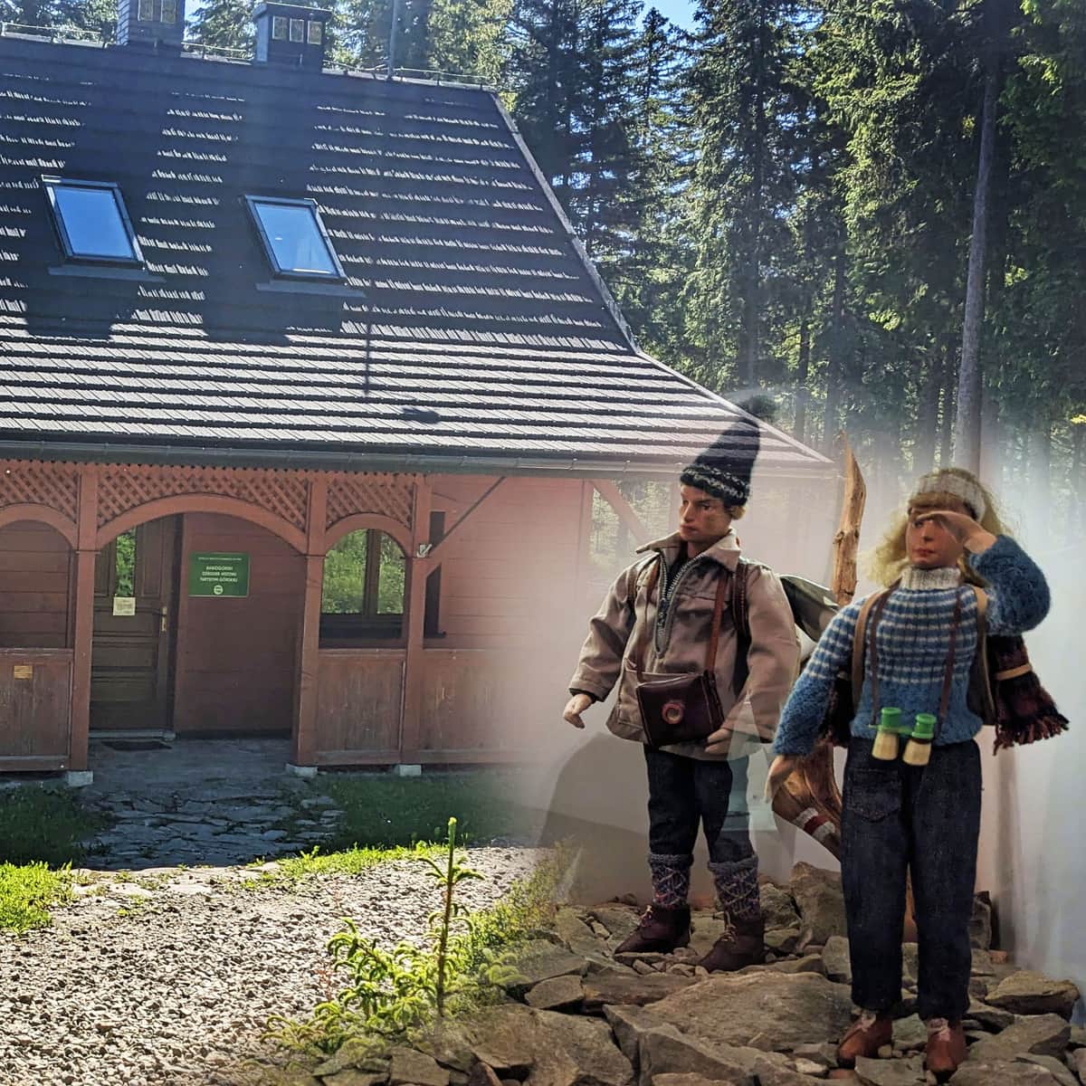
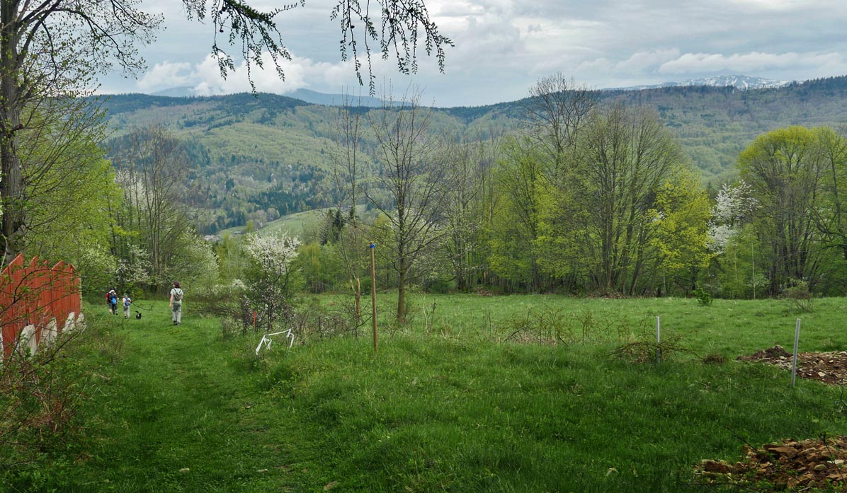
Initially (10-15 minutes), we climb the asphalt road to the wooden building - the Zmarwychwastanek Monastery. Right next to it is a memorial room dedicated to Cardinal Stefan Wyszyński.
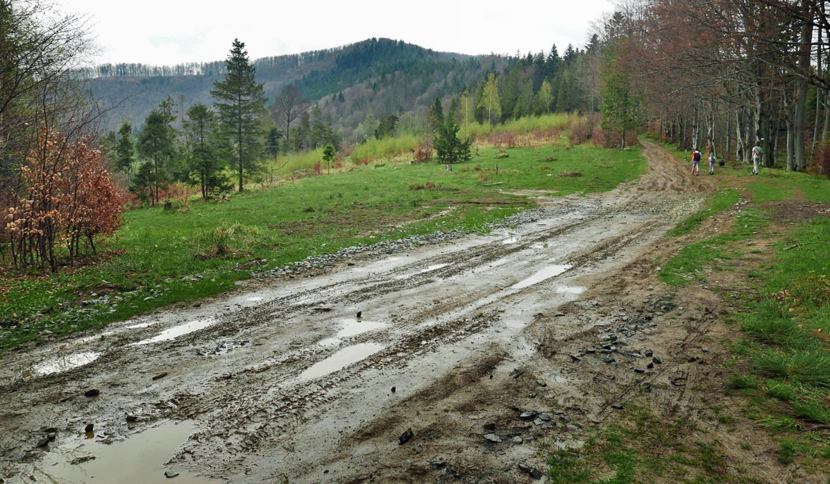
Once we enter the forest, it becomes steep...
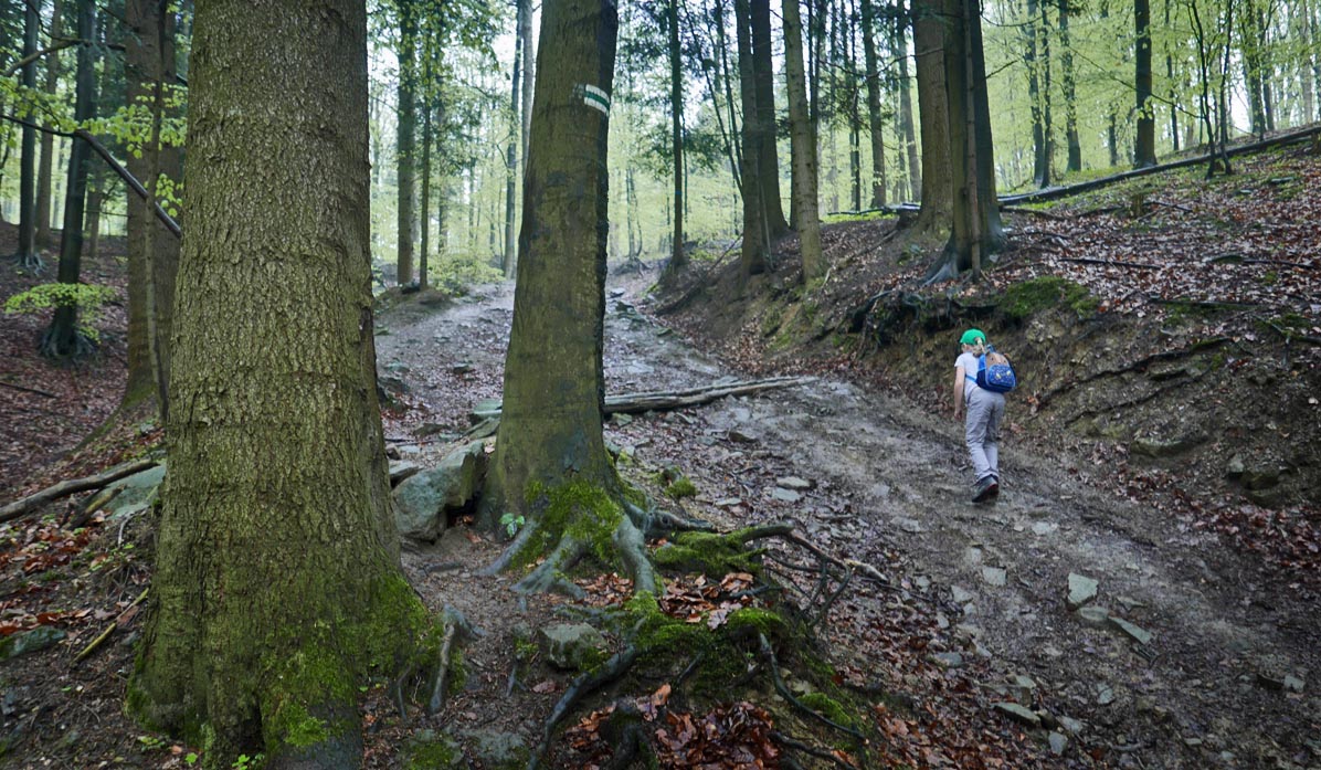
Don't be discouraged! This won't be a long stretch, and after about half an hour, we will reach the scenic Przełęcz Kolędówki.
Przełęcz Kolędówka - views!
After the forest climb, we reach Przełęcz Kolędówka above Zawoja. Here awaits us a view of the Queen of the Beskids: Babia Góra. At this point, we switch from the green trail (which descends to Zawoja) to the yellow trail.
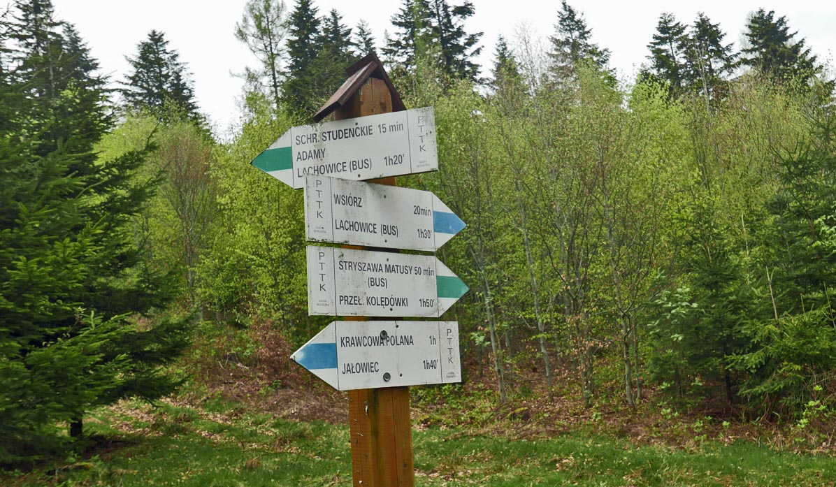
From Przełęcz Kolędówka to Przełęcz Opaczne
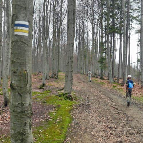
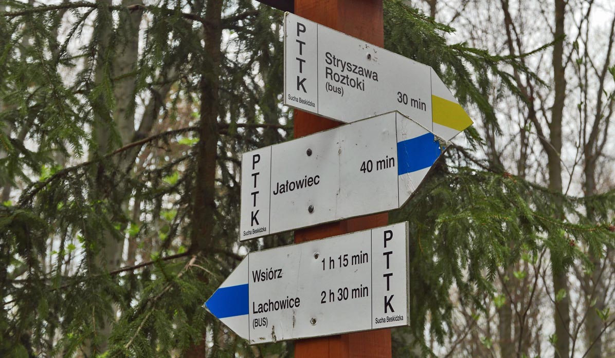
Now, we follow the yellow trail, a comfortable wide forest road along the ridge until we reach the next pass: Opaczne. Our hiking destination, the summit of Jałowiec, is very close now!
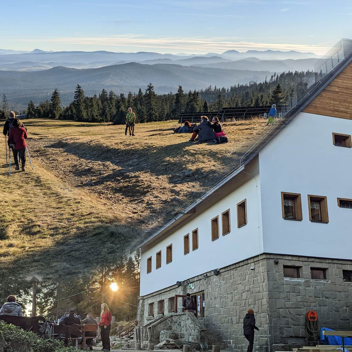
There is a small (marked on the map) private shelter called "W murowanej piwnicy" (In the Masonry Basement). A few years ago, we visited it (we even have a stamp). Unfortunately, in May 2022, it was closed, with signs removed... If anything changes, let us know!
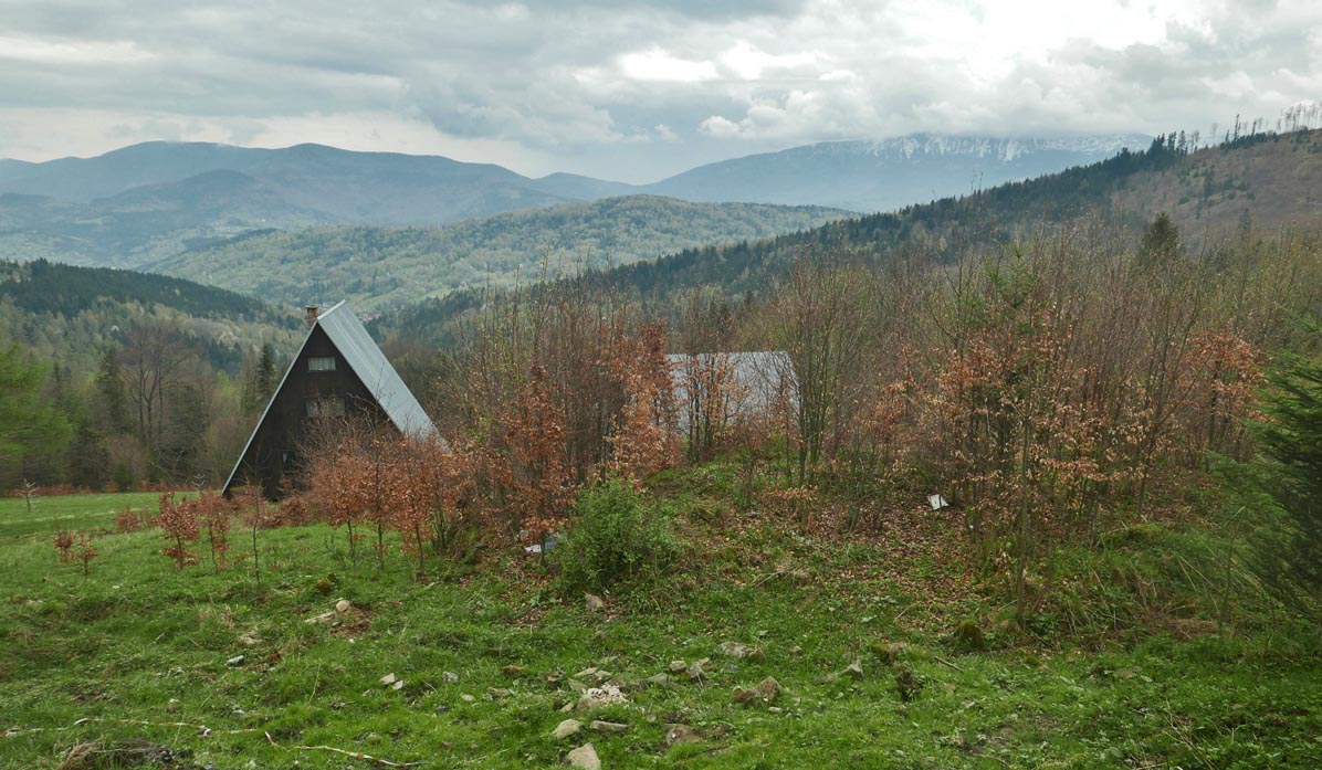
However, the views from Przełęcz Opaczne of Policę, Mosorny Groń, and Babia Góra always amaze:
Yellow trail from Przełęcz Opaczne to Jałowiec
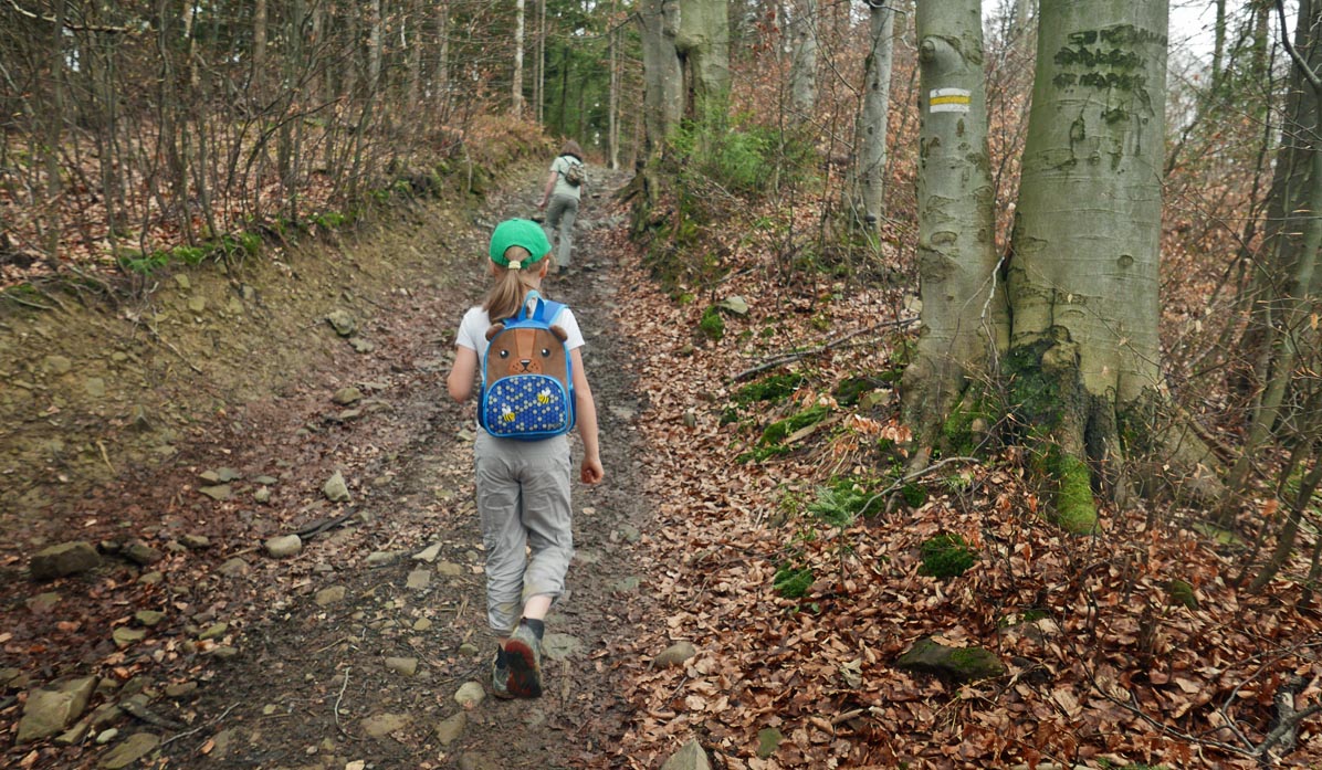
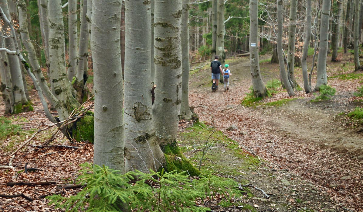
This is the final ascent (about 30-40 minutes). The stone path rises through a beech forest. On the right, there are glimpses of the hills, along the slopes of which we will return to Stryszawa.
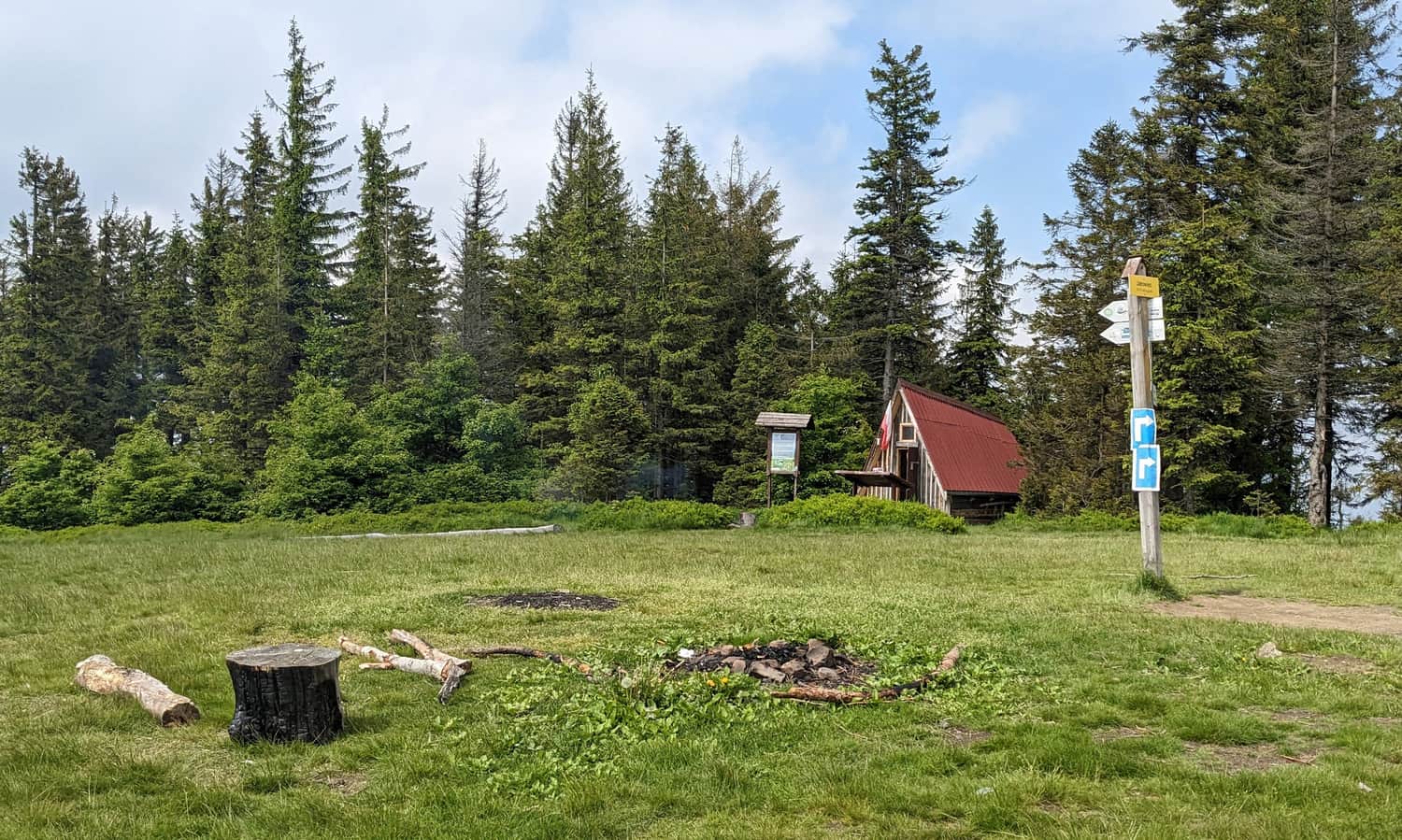
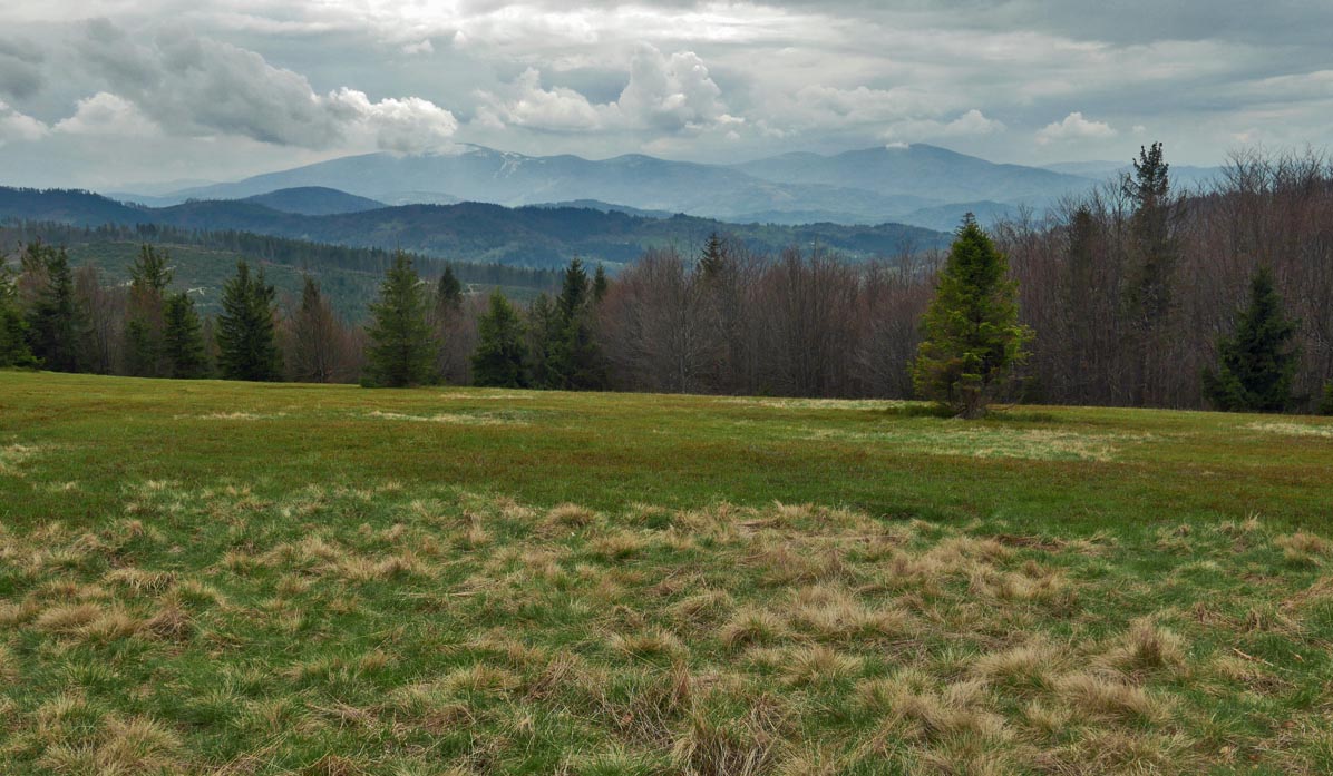
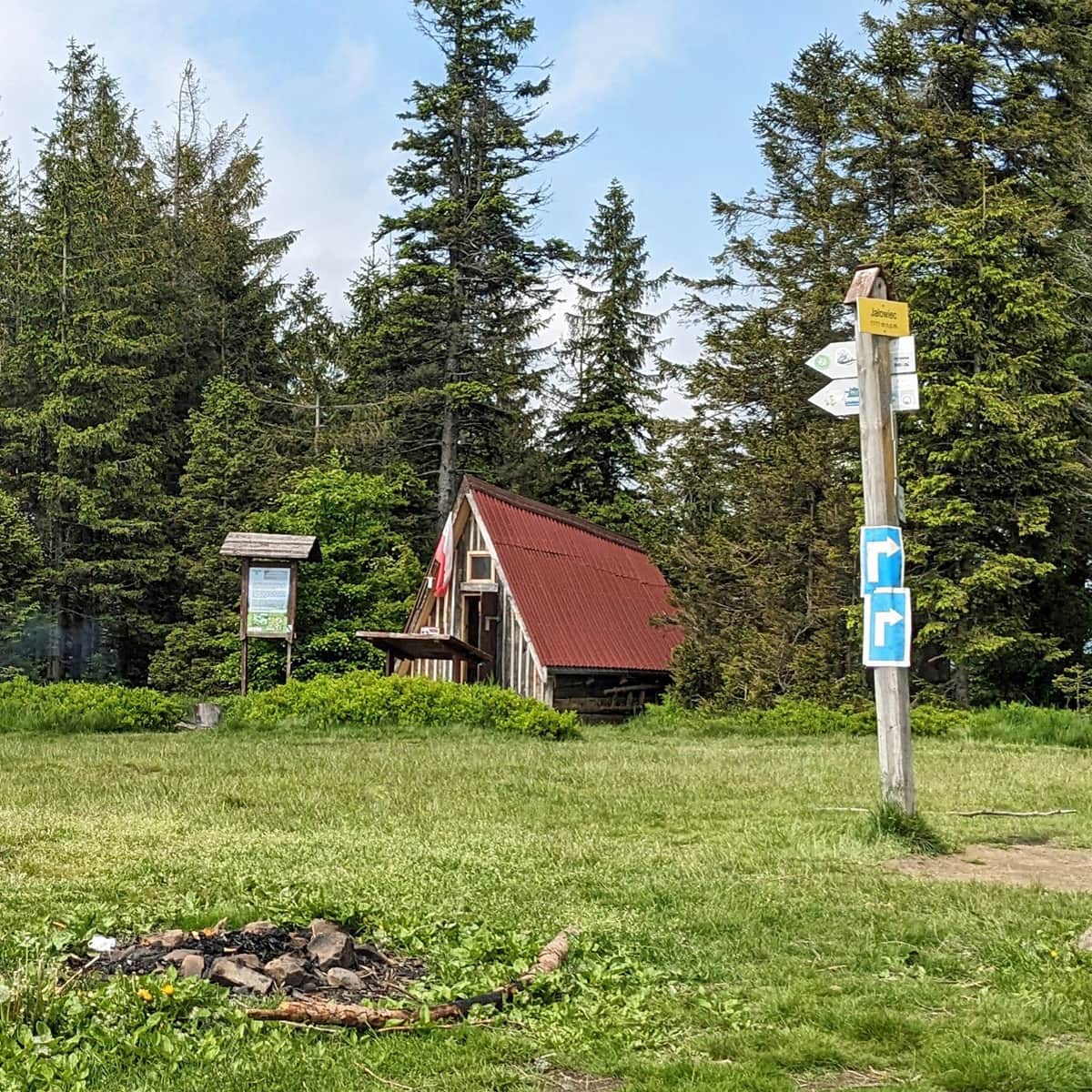
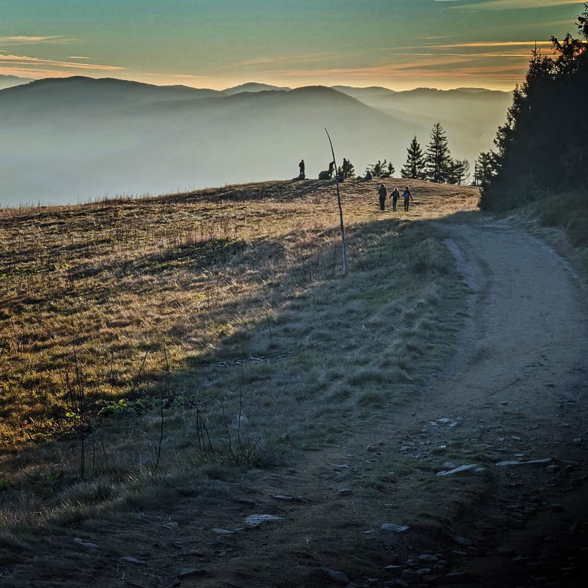
Jałowiec 1111 m above sea level - summit and views
At the top, a scenic meadow called Hala Trzebuńska awaits us. A description of the wide panorama can be found on a board near the shelter.
From Jałowiec through Wsiórz to Stryszawa Matusy
We can return to the starting point by the same path or make a loop. Instead of going back, we continue on the blue trail towards Lachowice. Initially, we encounter a rather steep descent through a beech forest.
If we have had enough, we can turn from the blue trail onto the yellow trail - this is the fastest way back to Stryszawa.
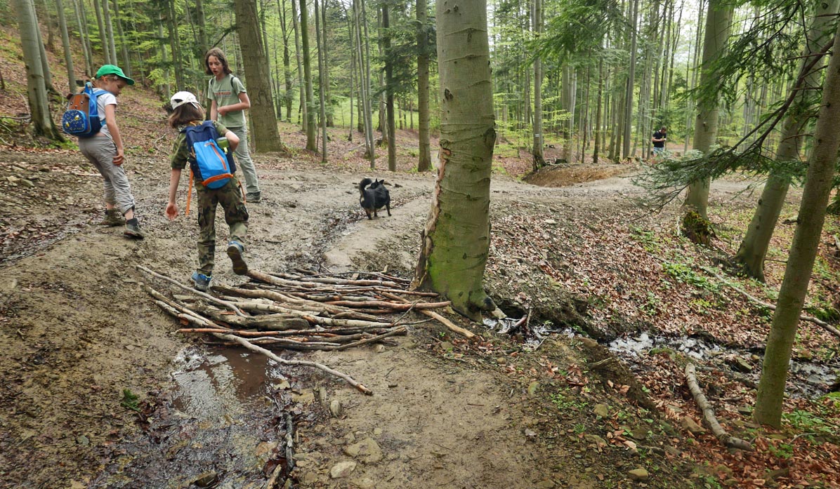
If we are not in a hurry, we recommend sticking to the blue trail and descending through the Roztoka stream valley.
Attention! At the point where the trail with red houses on a white background joins us, we can turn left for a moment and see the ruins of a border guard station from the time of World War II (the border between the Third Reich and the General Government passed through here).
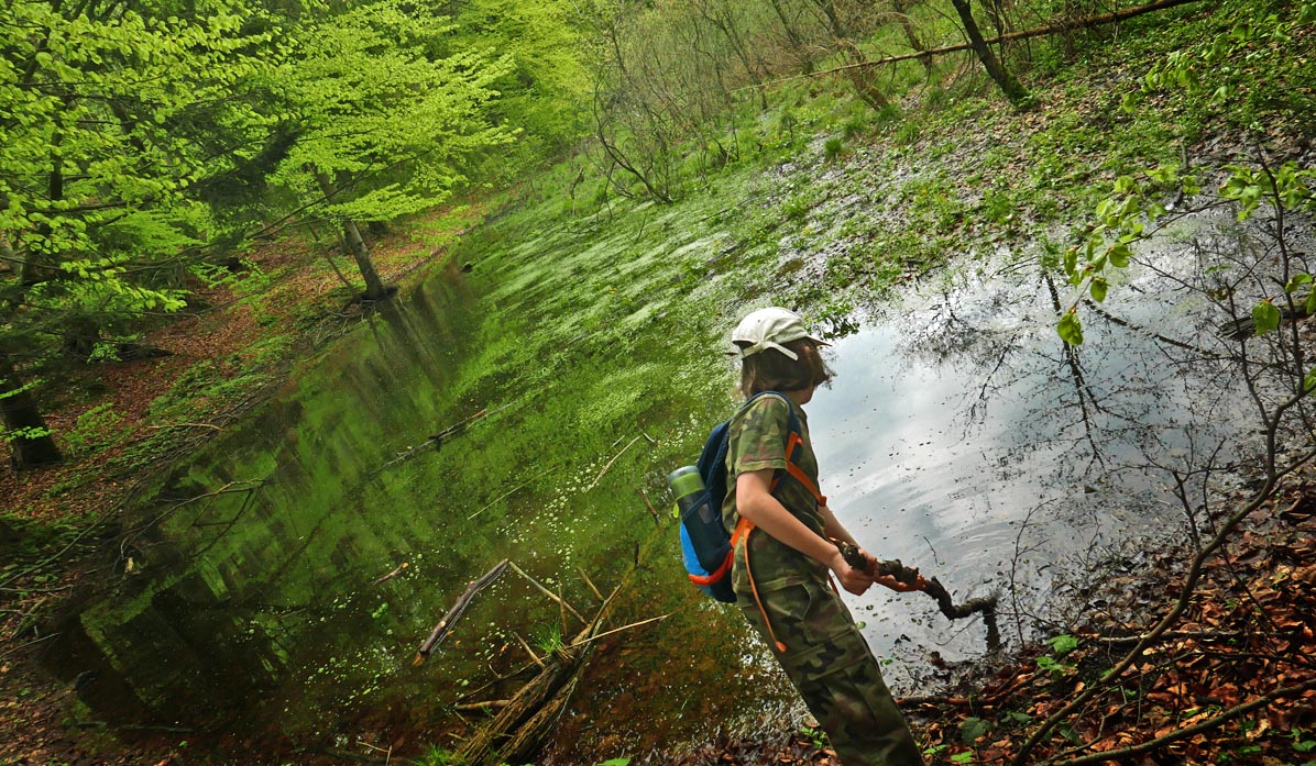
Then, we walk along a forest path through a beautiful beech forest, full of backwaters, marshes, and forest ponds.
We basically continue straight all the time, with a small hill waiting for us before reaching the green trail.
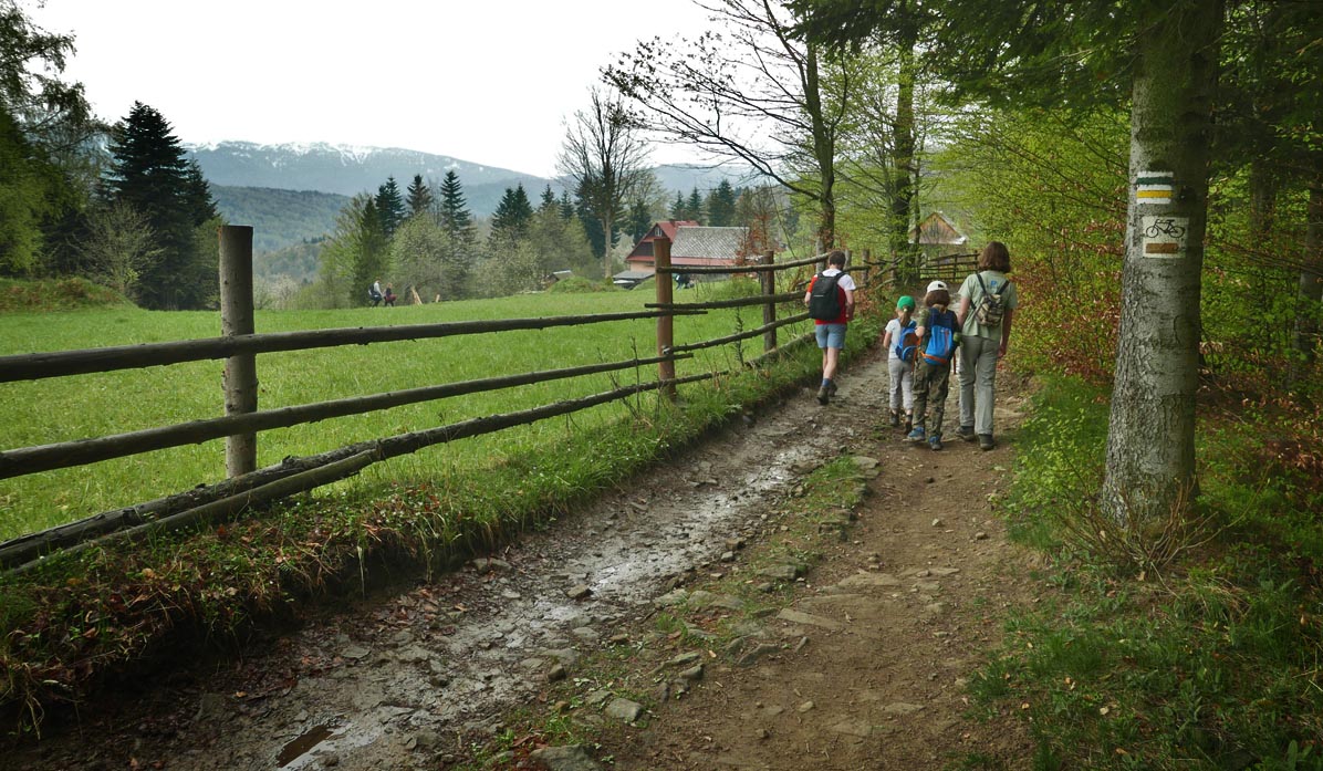
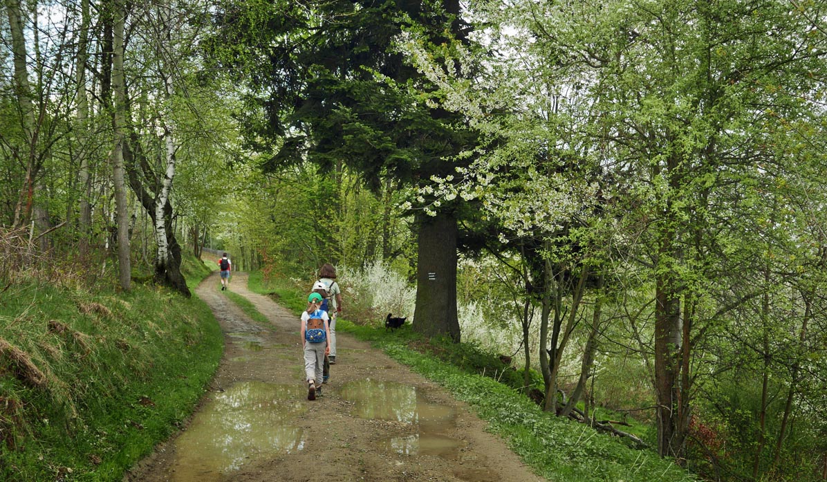
Now, the trail leads us along a village road to a hamlet with an interesting name: Wsiórz.
On the right, we enjoy views of the Jałowiec Range, behind which Babia Góra can be seen.
In the hamlet of Wsiórz, the green trail turns downhill towards Stryszawa Matusy.
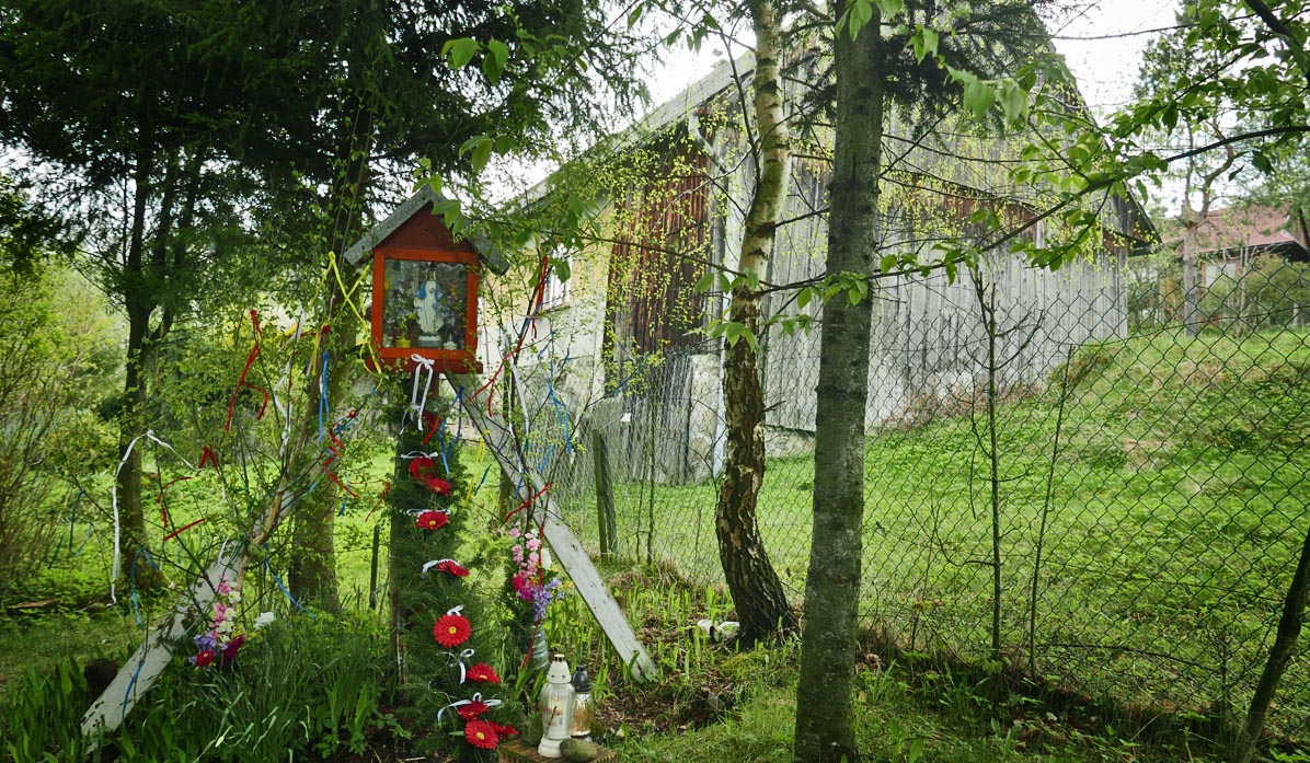
We pass by a chapel, cross a meadow and a forest, and arrive at the starting point of the trail: the Stryszawa Matusy bus stop.
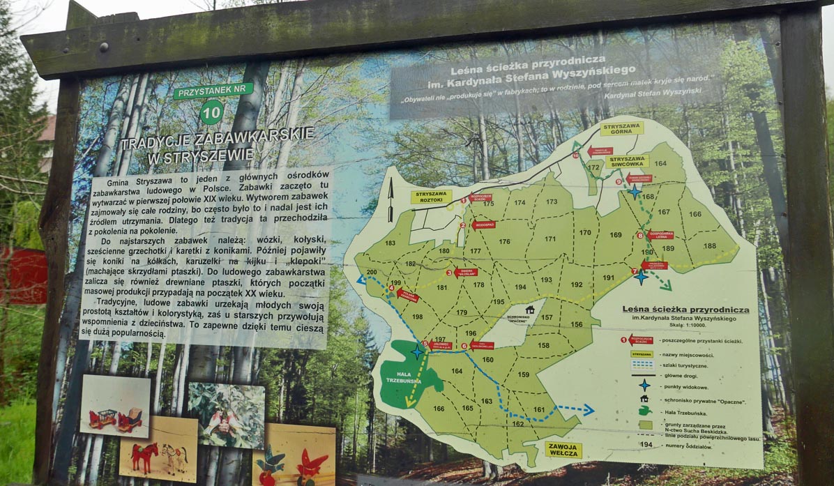
PS. Nature Trail in Stryszawa
By following the described route, we will pass through most of the Cardinal S. Wyszyński Nature Trail (by taking the shortcut with the yellow trail, we will walk the entire trail). Therefore, we will come across information boards and benches along the way.
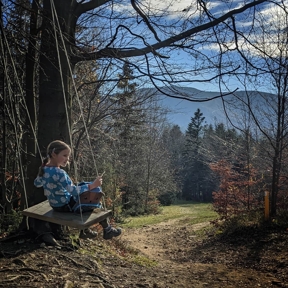
While in Stryszawa, don't forget to visit the extraordinary museum:
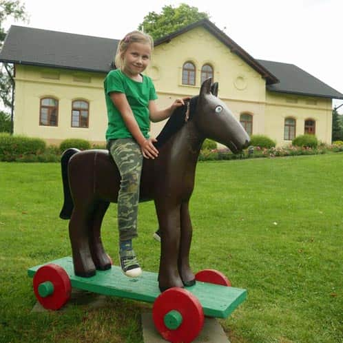
Stryszawa: Beskid Wooden Toy Center
The Best Toy Museum? One where we can play! ...And even literally "enter the world of toys": Beskid C ...
Other trails to Jałowiec:
Jałowiec - Trails and Loops
Jałowiec (1111 m above sea level) is a peak located on the border of the Silesian and Lesser Poland Voivodeships, belonging to the Żywiec Beskids (or Maków Beskids). ...
PS. This route has been included in our ranking of the "TOP 5 Żywiec Beskids - most beautiful scenic trails". Would you like to know the others?
TOP 5 Żywiec Beskid - the most beautiful scenic trails
Beskid Żywiecki is a mountain range on the border of Silesian and Lesser Poland Voivodeships, known for its scenic meadows and expansive panoramas. Which trails should you choose for hiking in the Żywiec Beskid? ...