Babia Góra - loop from Krowiarki through Markowe Szczawiny
Nearby: Zawoja| Distance | 13.7km |
|---|---|
| Time | 5h 46min |
| Ascents | 941m |
| Descents | 935m |
wb_sunny Route in the sun
restaurant Restaurant or bar nearby
directions_car Access by car
directions_bus Can be reached by bus
wc Toilet along the route
warning No dogs allowed
The most popular route to climb and descend Babia Góra:
from Krowiarki - Sokolica - Babia Góra - Przełęcz Brona - Markowe Szczawiny - Krowiarki.
The route is relatively fast (without breaks, approximately 5.5 hours round trip), incredibly scenic, with a rest stop at the shelter, so it's no wonder that it's often crowded...
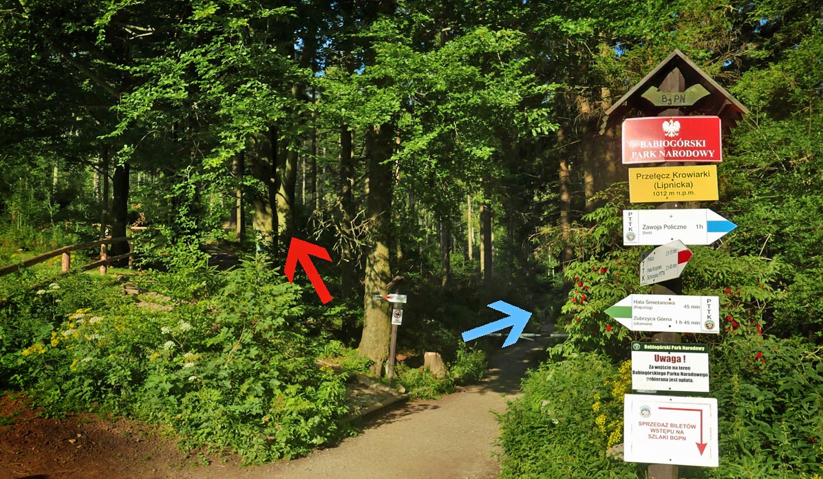
The downside of the route is the crowded paid parking at Przełęcz Krowiarki (Lipnicka). During the season and on weekends, you need to arrive early in the morning to find a spot...
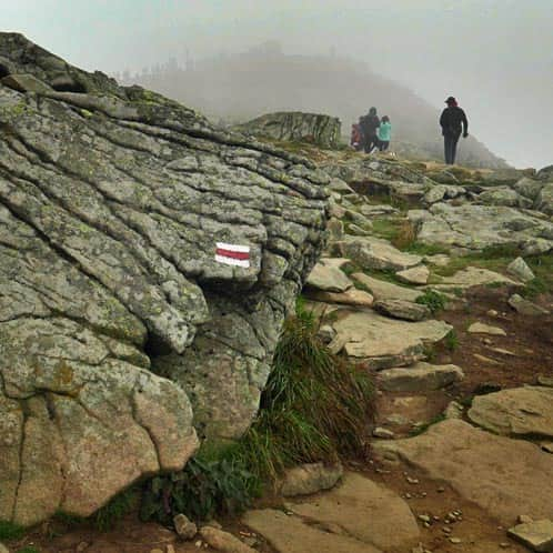
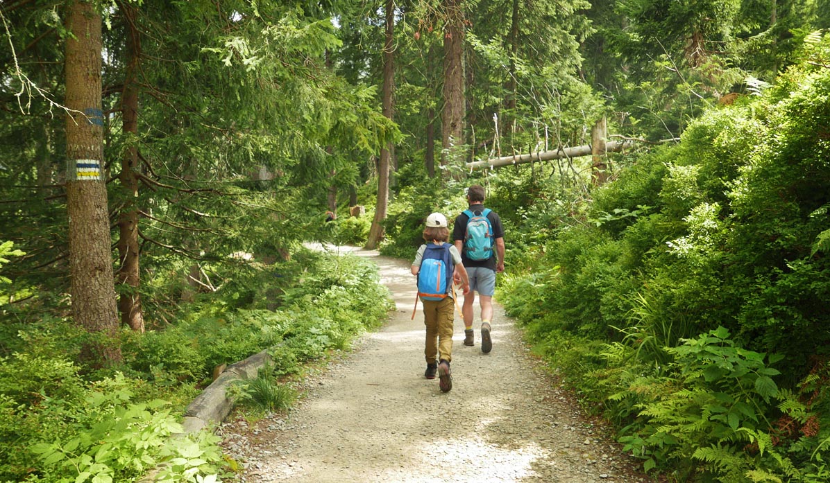
Climbing the red trail through Sokolica, Kępa, and Gówniak to Babia Góra
We have to overcome over 700 meters of elevation gain, with the first half being a steep climb to Sokolica.
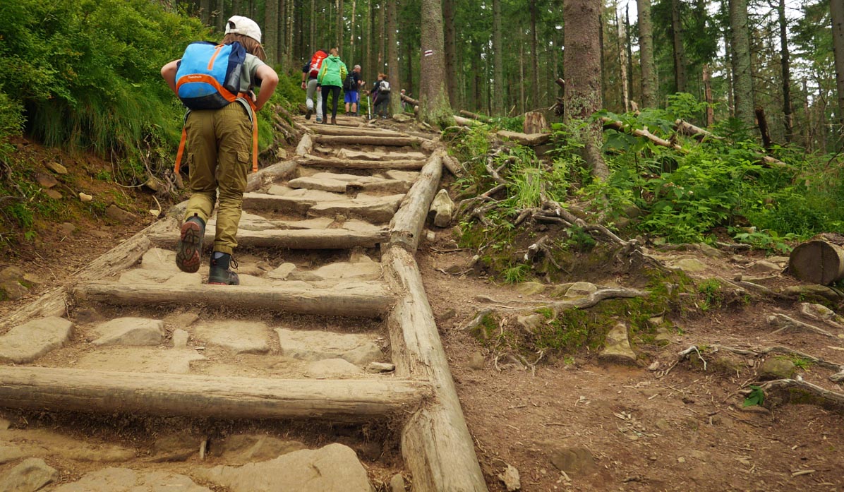
The second half will be much easier - we will still be climbing, but on a scenic ridge, with the awareness that the most difficult part is behind us.
More photos from the red trail to Babia Góra from Krowiarki:
Difficult
Red Trail: Krowiarki - Babia Góra

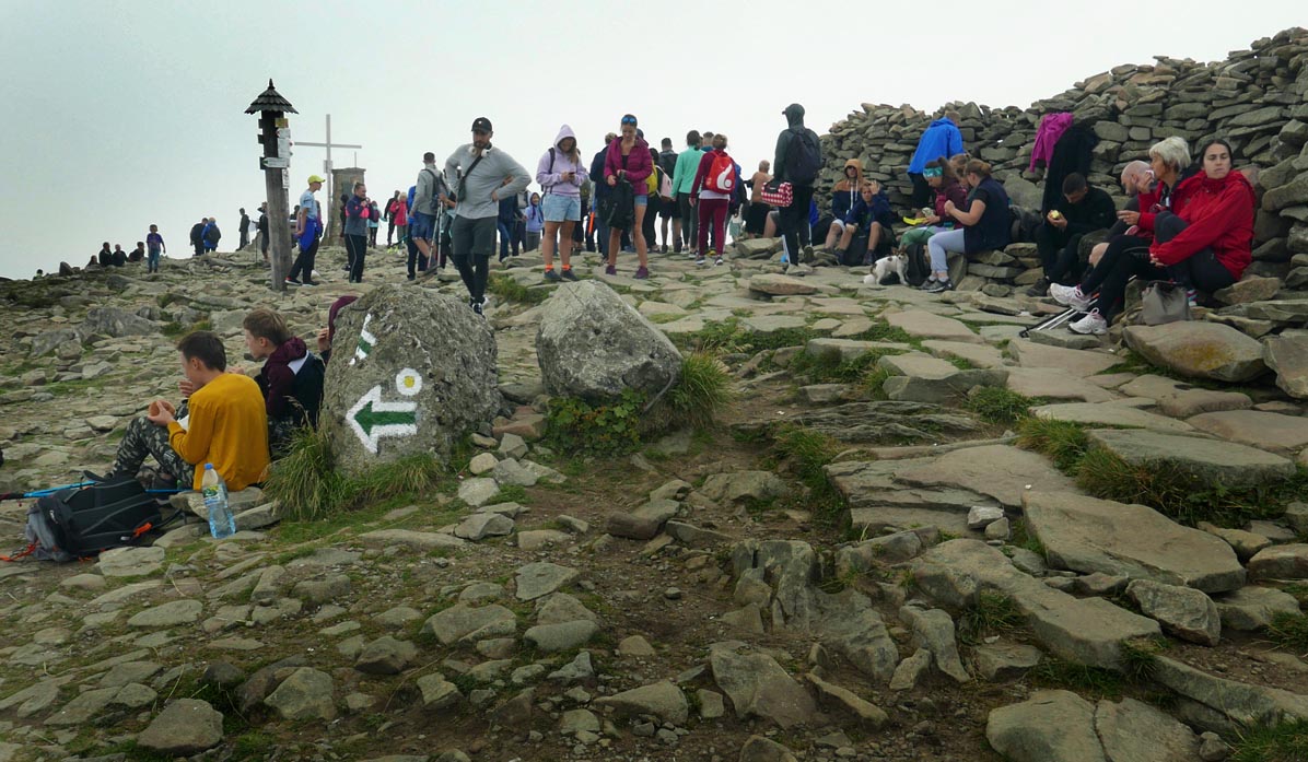
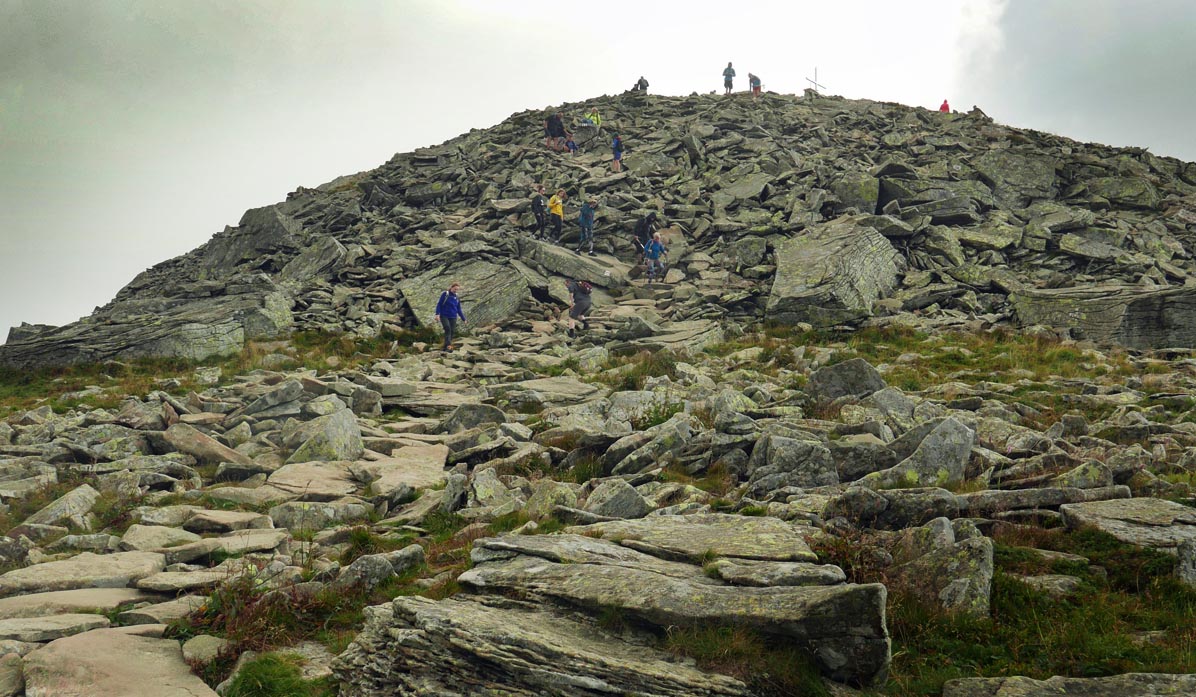
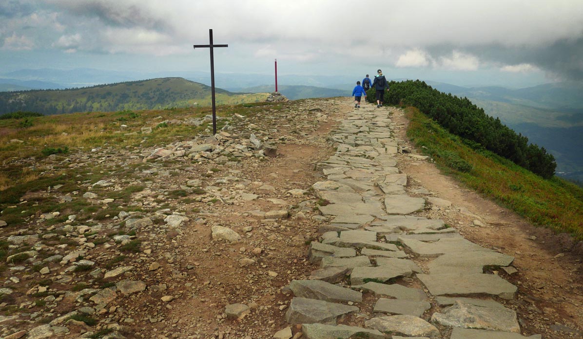
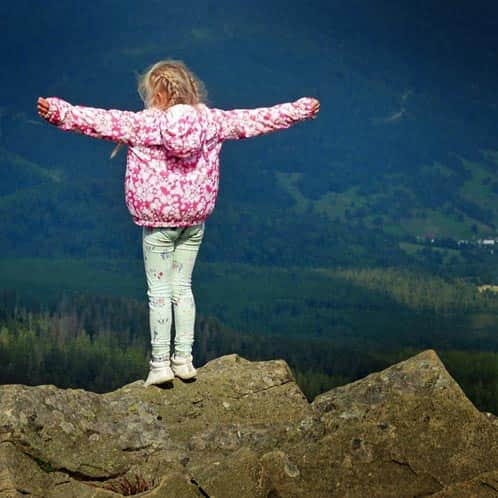
At the summit of Babia Góra - the Queen of the Beskids
Attention! It's always windy on Babia Góra - it's worth bringing jackets and hats! After enjoying the conquest of the highest peak of the Beskids, taking photos of the beautiful views (if temporarily obscured by clouds - let's wait, the weather changes very dynamically here!), we continue westward.
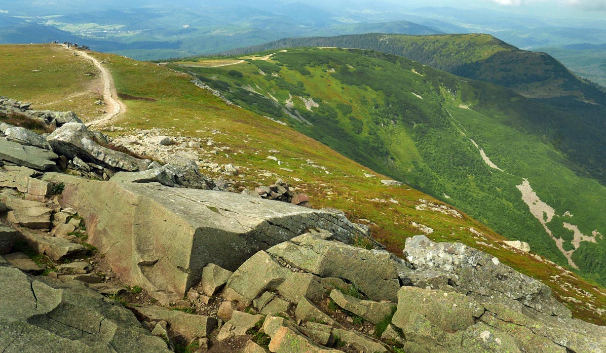
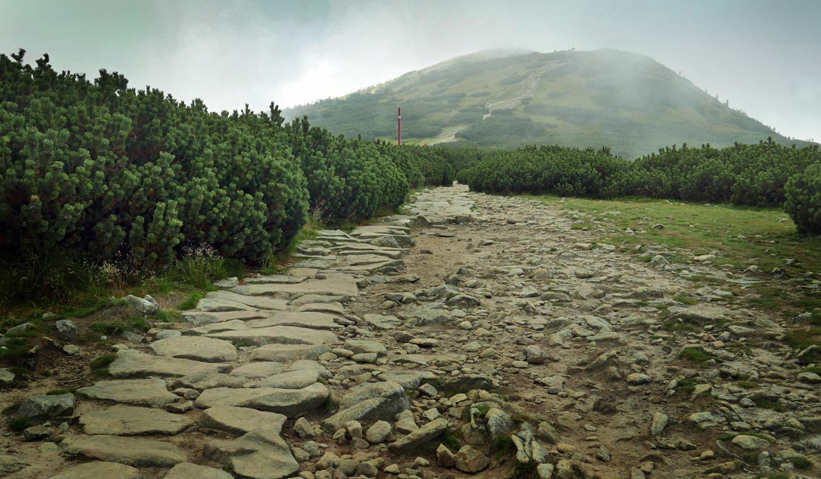
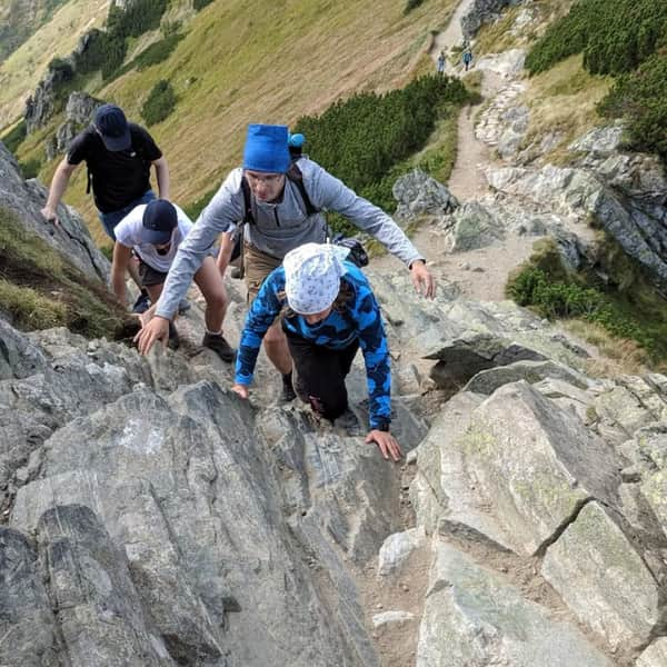
Descending to Przełęcz Brona and the Markowe Szczawiny shelter
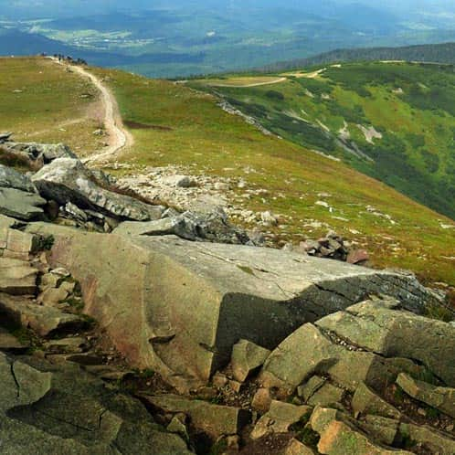
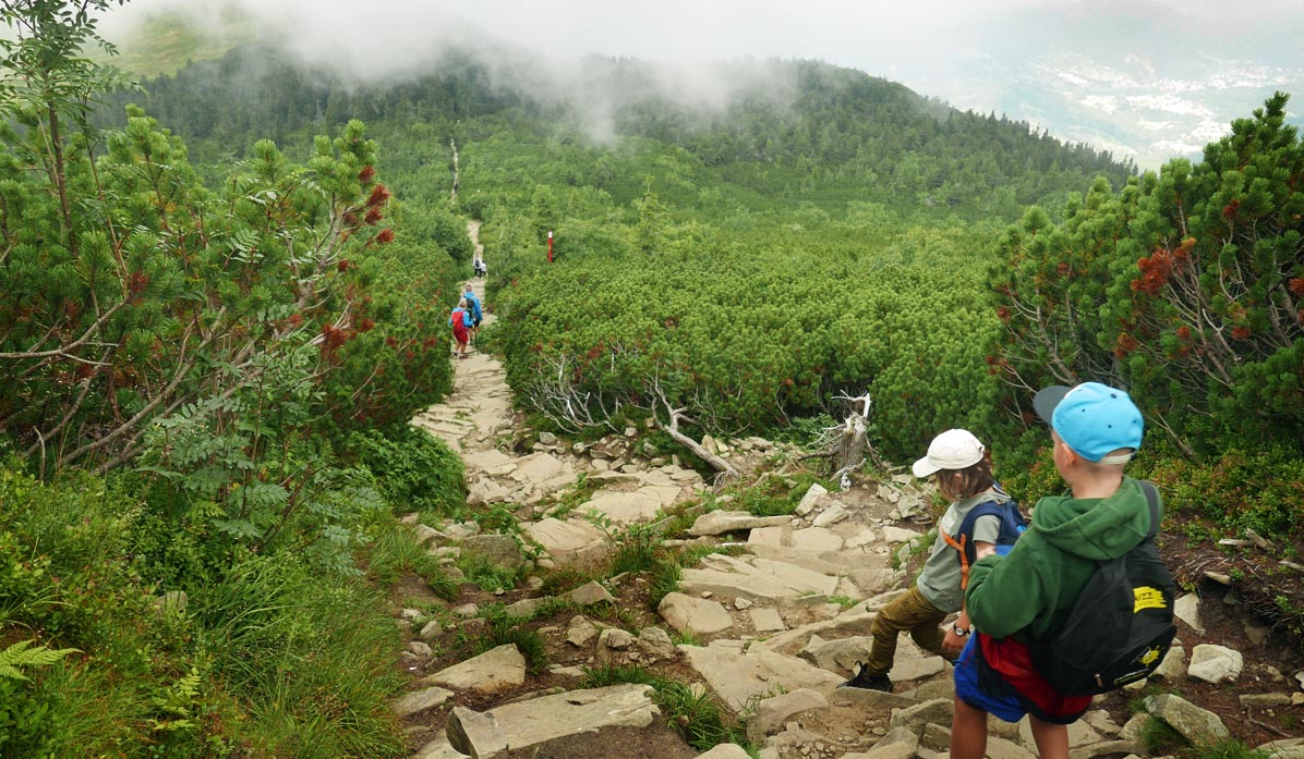
The second part of our loop is downhill. Initially, it won't be easy - we have to carefully descend from a large rocky scree:
Then the path along the ridge among the dwarf mountain pines becomes very pleasant:
although it can also be steep - and even though it's "downhill", it's not that easy:
Or maybe you feel like going to Mała Babia Góra from Przełęcz Brona? It's just under half an hour of easy climbing (45 minutes round trip).
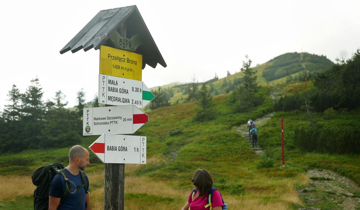
From Przełęcz Brona to Markowe Szczawiny, it takes about 20 minutes to descend - be aware that it can be quite steep in some places.
In total, it should take about 1-1.5 hours from leaving the summit of Babia Góra to reach the shelter... it just depends on how long we admire the beautiful views around!
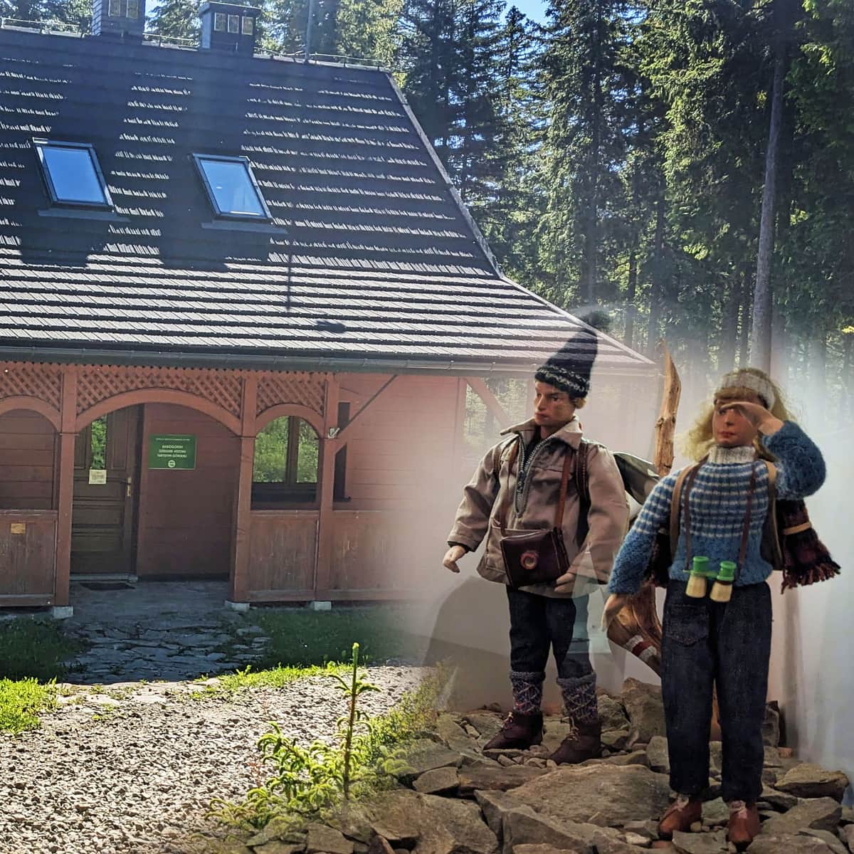
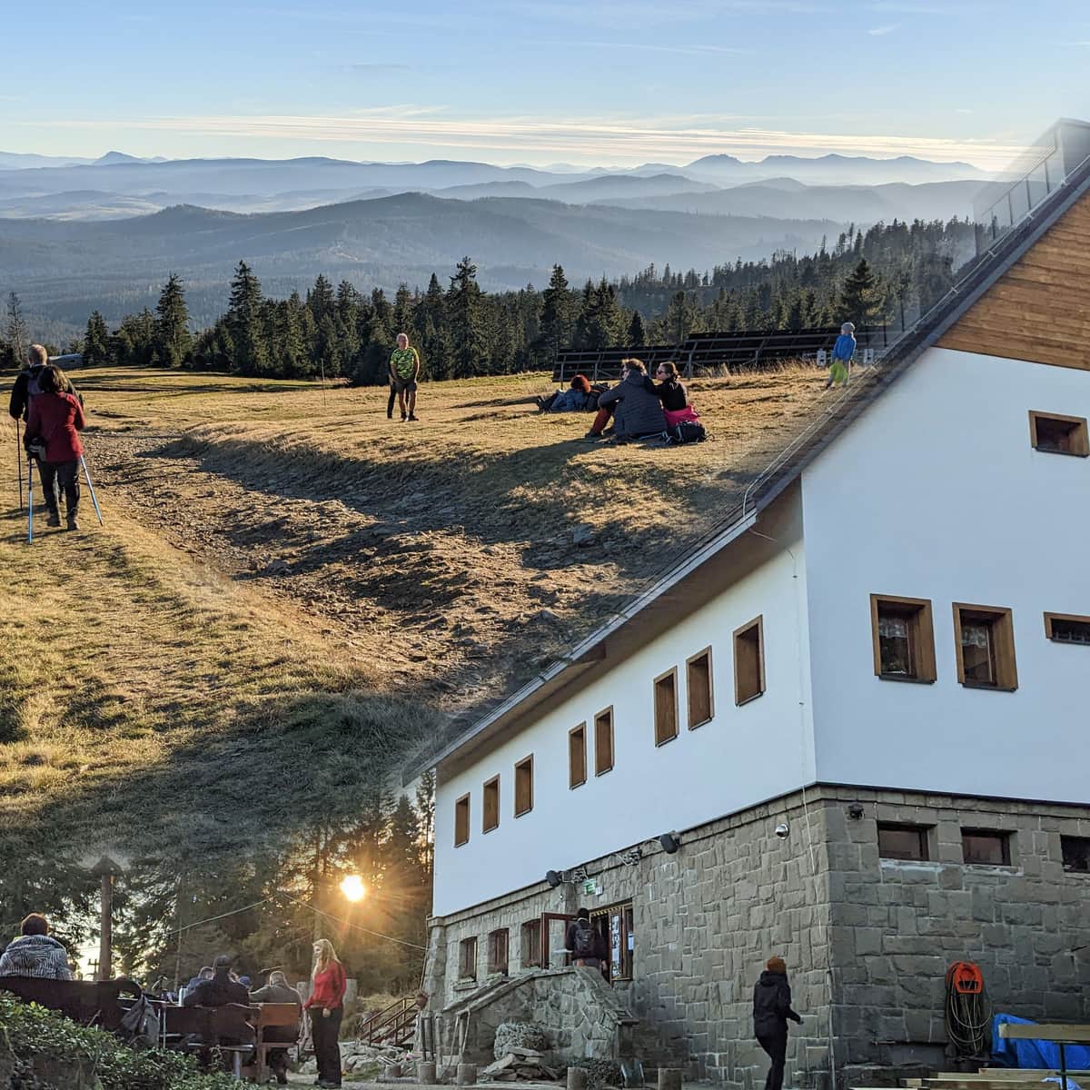
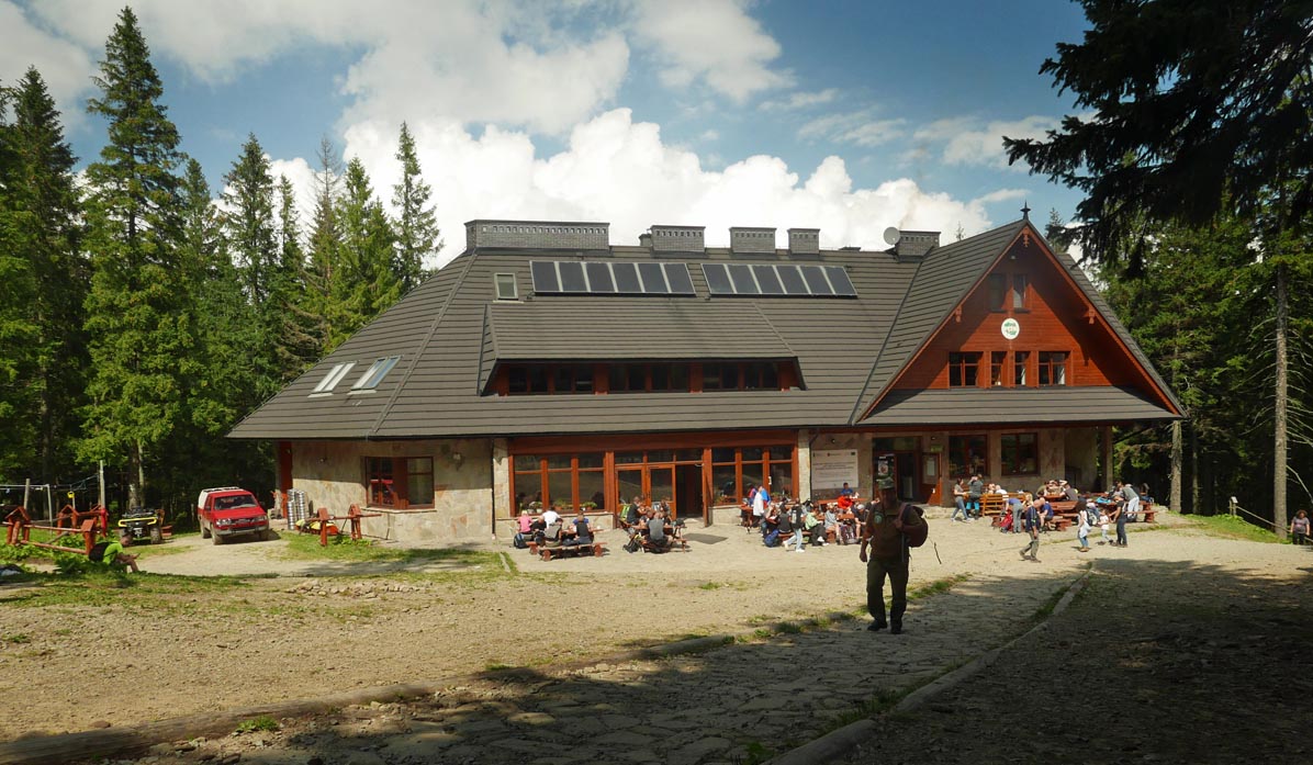
Markowe Szczawiny PTTK shelter
After the hike, we deserve a rest at the shelter, which offers lunch dishes, snacks, drinks, and souvenirs.
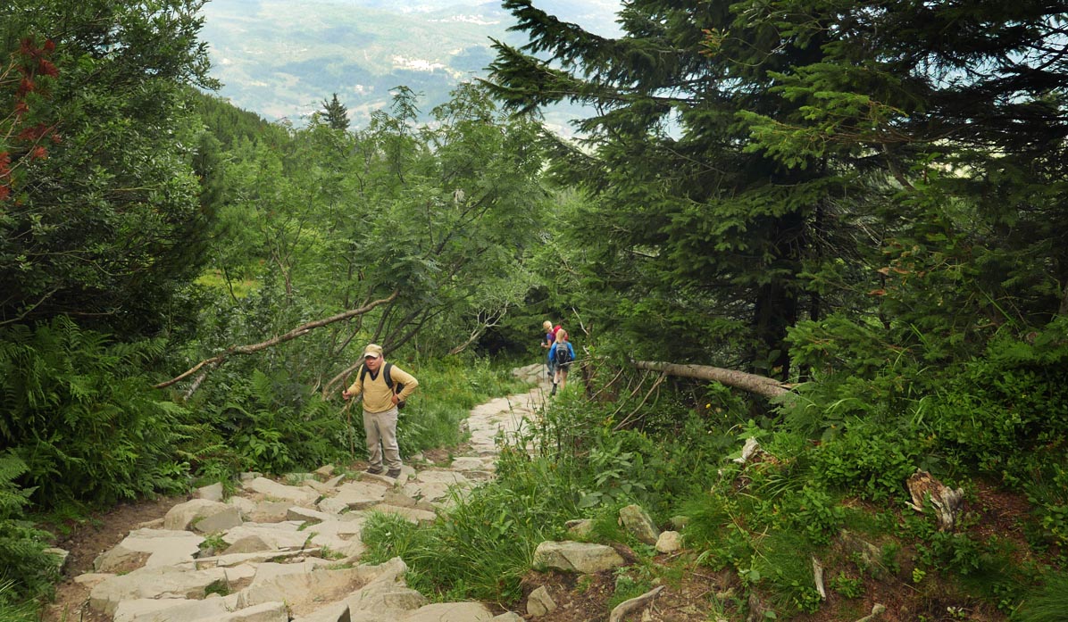
...and the blue trail to Przełęcz Krowiarki
We will return to the parking lot at the pass via a straightforward path along the slopes of Babia Góra, the comfortable blue trail (approximately 1.5-2 hours).
More photos from the blue trail Markowe Szczawiny - Przełęcz Krowiarki:
Other trails to Babia Góra:
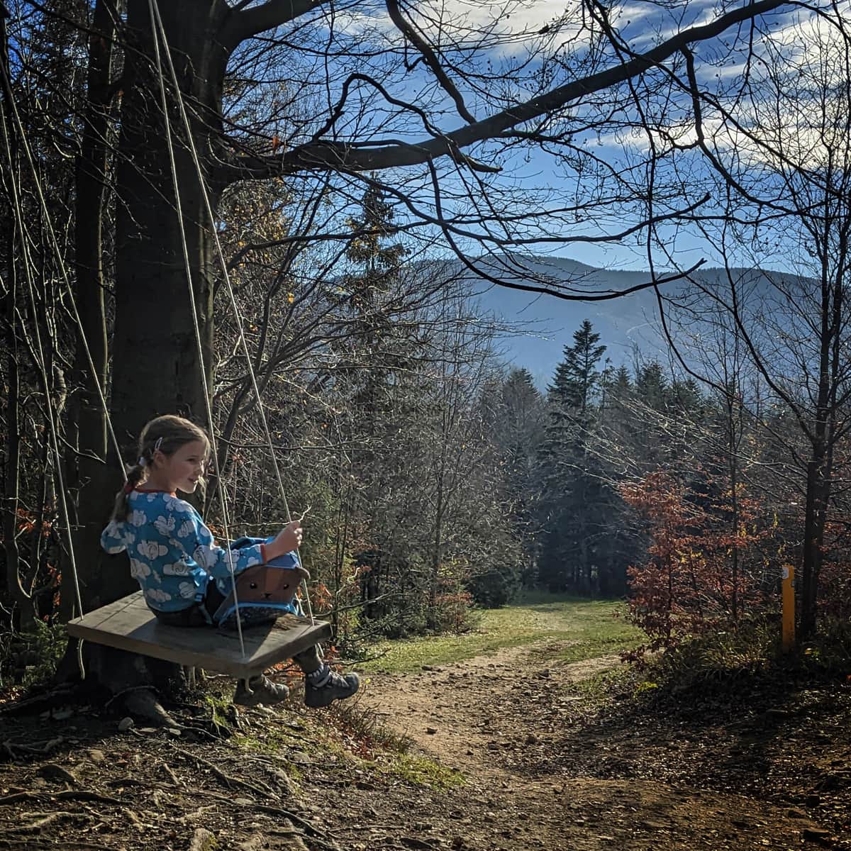
Babia Góra - all trails. For children and more
undefined ...
PS. We included this route in the article "Małopolska - routes for active families". Check out the rest of them!
Małopolska - Trails for Active Families
Are you an active family who loves sports all year round and wants to test your fitness in the great outdoors? We have a few ideas on how to combine training with a tourist trip. ...

Publish Date:
Last Updated: