
TOP 10 Short mountain trails for winter near Krakow
Short mountain hikes on short winter days? We have a few ideas for you for short routes with good and quick access from Krakow. Perfect for winter family walks!
- Mountain trails up to 10 km around Krakow
- 1. From Lipnik to Lubomir (4 km)
- 2. To Sucha Polana from Lipnik (5 km)
- 3. Koskowa Góra and Parszywka (5 km)
- 4. Śnieżnica from Gruszowiec (5.5 km)
- 5. Trzemeśnia - Trupielec 6 km (with Glichowiec 10 km)
- 6. Chyszówki - Mogielica (7 or 9 km)
- 7. Kamionna from Żegocina (8 km)
- 8. Kudłacze from Poręba (8.5 km)
- 9. Lubień - Szczebel - Lubień (10 km)
- 10. From Obidowa to Turbacz (17 km)
- Short winter trails near Krakow - map
Mountain trails up to 10 km around Krakow
For the shortest winter days, we recommend a few trails that do not exceed 10 km in total. These routes will take you approximately 4-5 hours to complete, which is perfect for a short mountain hike.
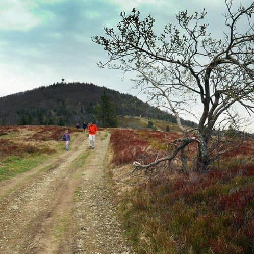
1. From Lipnik to Lubomir (4 km)
To reach the summit and return to the parking lot in 2 hours, you can use the free parking in Lipnik and take the green trail to the top of Lubomir, which takes about 1-1.5 hours. If you have more time, you can also hike to the picturesque Sucha Polana or the shelter on Kudłacze Glade.
Medium
Green Trail from Lipnik and Kobielnik to Lubomir

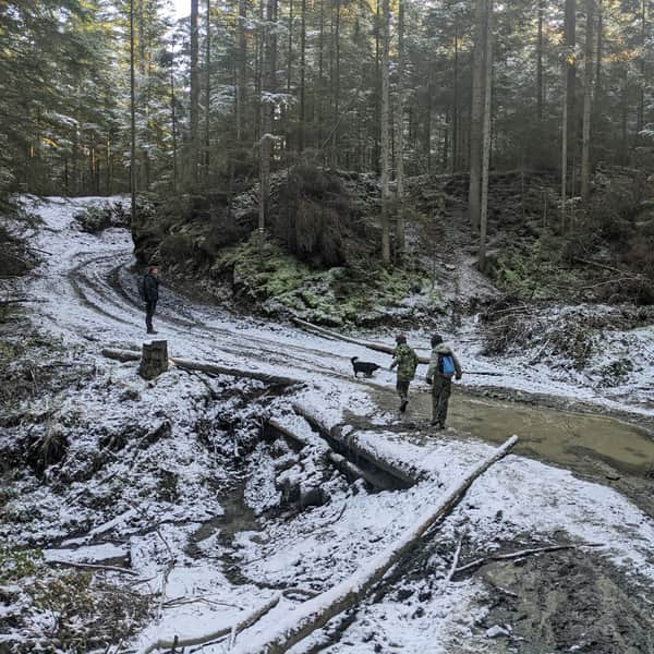
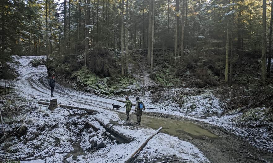
2. To Sucha Polana from Lipnik (5 km)
A short and easy trail along a wide forest road. Although it doesn't lead to a summit, it takes you to a picturesque meadow with a place for a bonfire. If you have more time, you can also hike to the summit of Lubomir or the shelter on Kudłacze Glade.
Easy
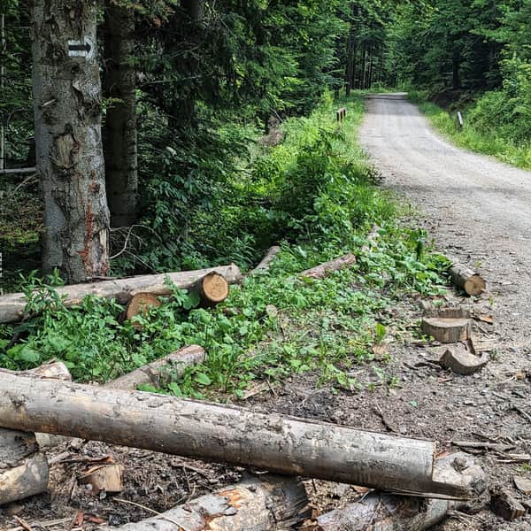
New black trail to Polana Sucha

3. Koskowa Góra and Parszywka (5 km)
Conquering two small peaks will take you about 1.5 hours in total. The trail is mostly flat with minimal inclines. If you want to make it more challenging, you can start from Bieńkówka instead of driving to the ridge (in that case, the round trip will be 11 km).
Easy
Koskowa Góra and Parszywka

4. Śnieżnica from Gruszowiec (5.5 km)
If you're looking for snow in the mountains, it's worth checking if it has accumulated on... Śnieżnica! Completing a short loop using the blue and green trails will take you about 2-2.5 hours. The trail mainly goes through the forest, but there are also scenic viewpoints along the way!
Medium
Śnieżnica from Gruszowiec, blue and green trail

If you take the train from Kasina Wielka, it will take you less than half an hour to reach the summit:
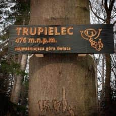
5. Trzemeśnia - Trupielec 6 km (with Glichowiec 10 km)
An easy stroll with a small elevation gain, and the story of mysterious burial mounds adds an extra thrill to the hike! The walk from Trzemeśnia to Trupielec and back takes about 2 hours. If you want to complete the entire range and continue to Glichowiec via Ostrysz, the trail will be 10 km long (approximately 3-4 hours).
Easy
Glichowiec Range: Trupielec and Ostrysz

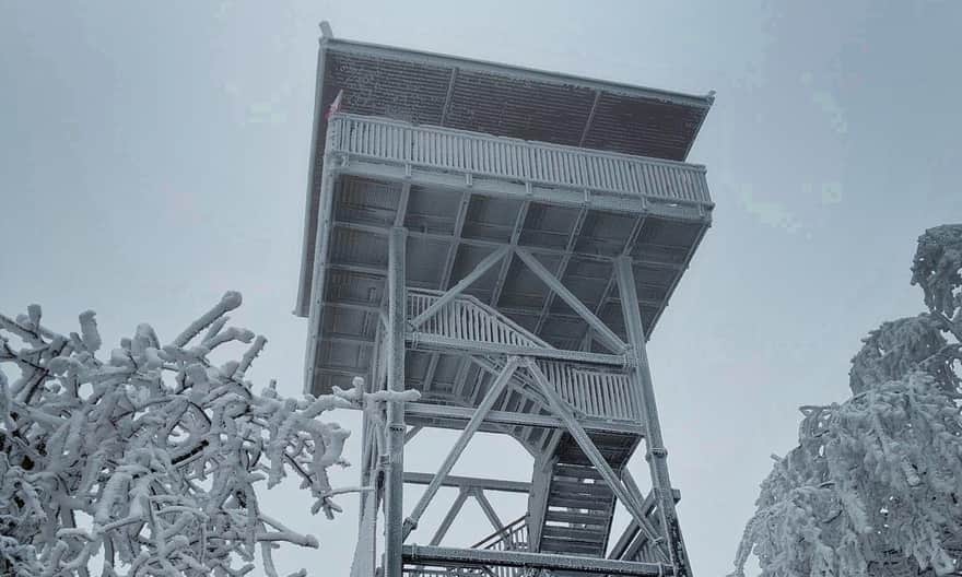
6. Chyszówki - Mogielica (7 or 9 km)
The trail from Przełęcz Rydza Śmigłego in Chyszówki to the highest peak of the Beskid Wyspowy range (1170 m above sea level) with a new observation tower is only 7 km long, but it involves an elevation gain of almost 700 m! Note: there will be steep ascents! Alternatively, you can take the gentler, but longer, yellow trail (9 km round trip):
Mogielica: trails, routes, and loops
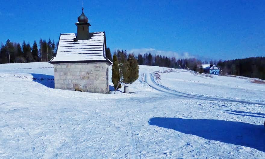
Mogielica is the highest peak of the "Beskid Wyspowy" , part of the Crown of Polish Mountains (1170 meters above sea level). At the prominent and quite steep summit, there is a new observation tower. The nearby Polana Stumorgowa is also famous for its beautiful views. ...
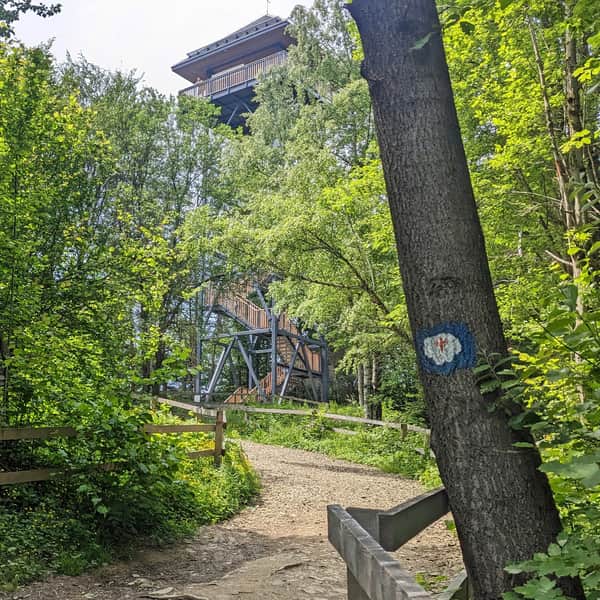
7. Kamionna from Żegocina (8 km)
The trail goes through the forest, uphill, but without particularly steep or difficult sections. Along the way, you'll pass a viewpoint near a ski lift, and at the summit, there's a brand new observation tower (open in autumn 2023). If you've already seen it, be sure to enter the competition at konkurs.trasadlabobasa@gmail.com
Medium
Kamionna from Żegocina - yellow trail

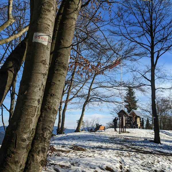
8. Kudłacze from Poręba (8.5 km)
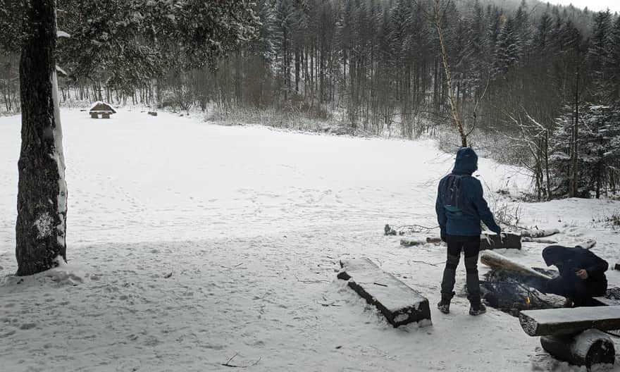
The PTTK Shelter on Kudłacze Glade is our favorite place to visit in any season!
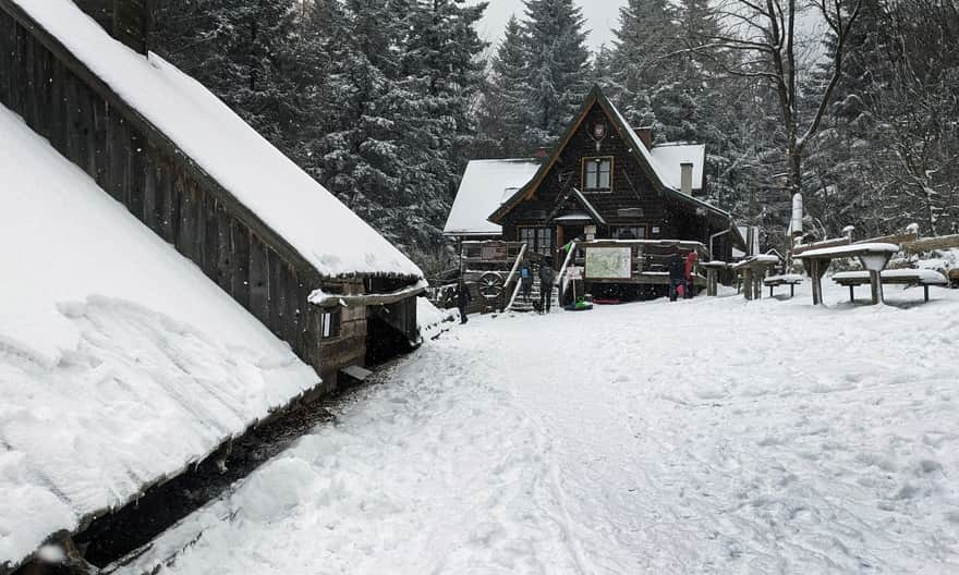
You can drive here from Pcim (remember that the road is narrow, steep, and winding in winter) and then take a leisurely walk to Lubomir (Kudłacze - Lubomir - Kudłacze is a 7.5 km comfortable forest path with a gentle incline of 250 m). If you prefer not to risk the steep road, you can reach Kudłacze from Poręba via Działki:
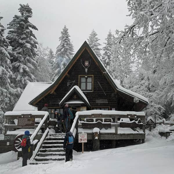
Easy
Winter hike to Kudłacze

9. Lubień - Szczebel - Lubień (10 km)
Easy and quick access to the start of the trail in Lubień. The route is not long, and the peak is not the highest (977 m above sea level), but be prepared for a long, steep ascent along the way.
This is a suggestion for those who want to climb and feel the satisfaction of reaching the summit! Fortunately, the views will make up for the effort!
Medium
Szczebel - black trail from Lubien

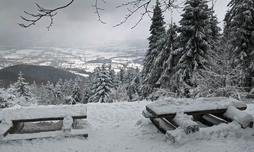
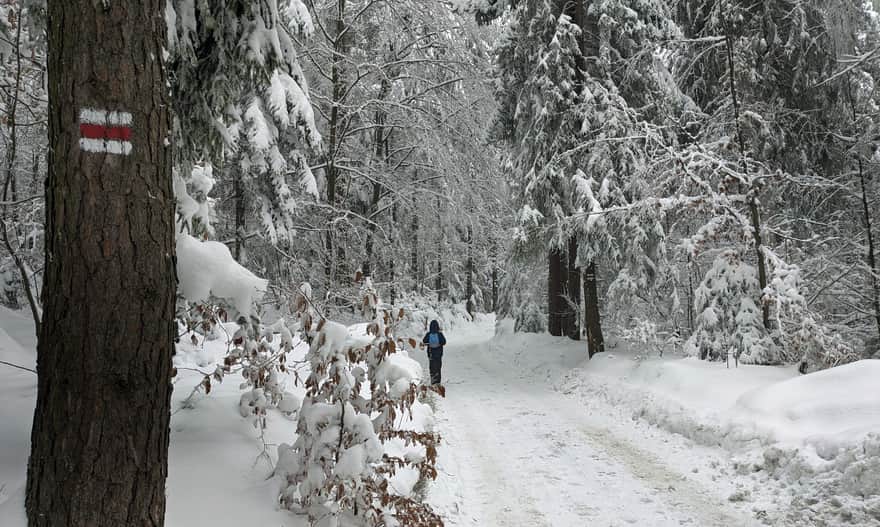
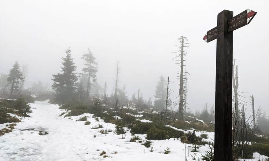
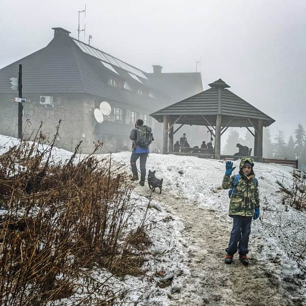
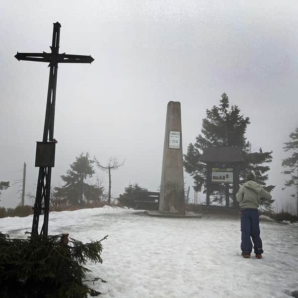
10. From Obidowa to Turbacz (17 km)
This is a slightly longer trail, but perfect for winter: no steep ascents + two mountain shelters where you can rest and warm up along the way. You'll also enjoy the views, as long as you're not caught in winter fog...
To reach Obidowa from Krakow, it's about 80 km, but you can take the expressway (with a new tunnel!). The journey took us less than an hour, and the entire loop (with short stops at both shelters) took 6.5 hours.
We ascended Turbacz via Bukowina Obidowska:
Medium
Turbacz from Obidowa in Winter

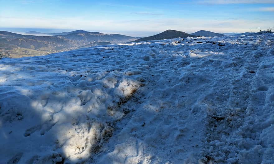
...and descended via Stare Wierchy:
Medium
From Obidowa through Stare Wierchy to Turbacz - winter

Short winter trails near Krakow - map
Here is the location of the described trails on the map:

Publish Date:
Last Updated: