Green Trail from Lipnik and Kobielnik to Lubomir
Nearby: Myślenicebeach_access Route in the shade
directions_car Access by car
directions_bus Can be reached by bus
The green trail to Lubomir from Lipnik and Kobielnik is one of the shortest routes to the highest peak of the Beskid Makowski and the astronomical observatory located on it. By choosing this route, you can also visit the picturesque Polana Sucha and the atmospheric PTTK shelter on the scenic Polana Kudłacze.
Starting point of the green trail in Lipnik / Kobielnik
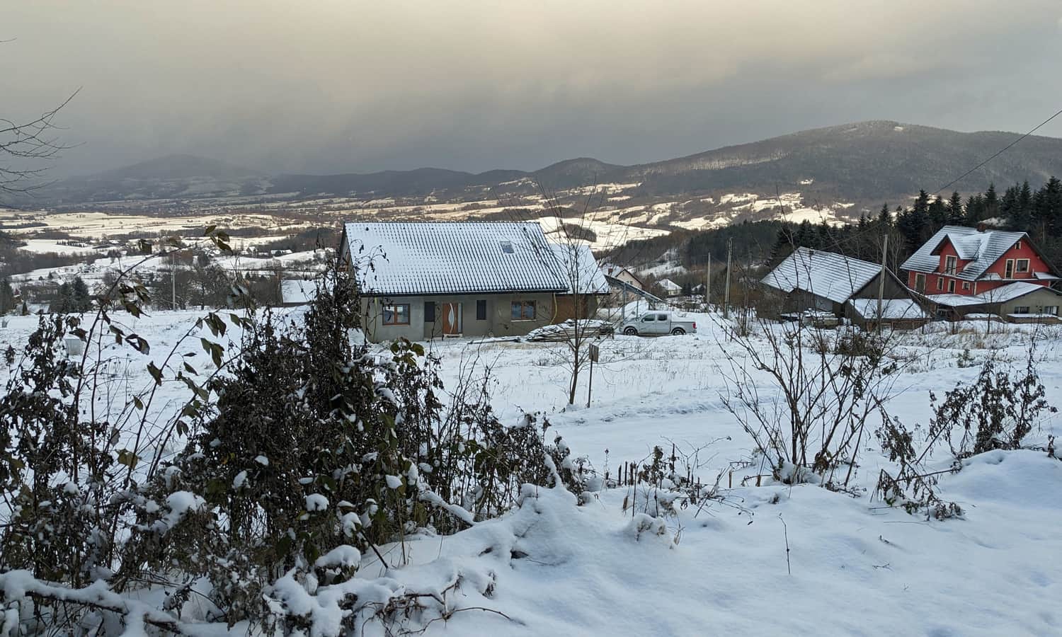
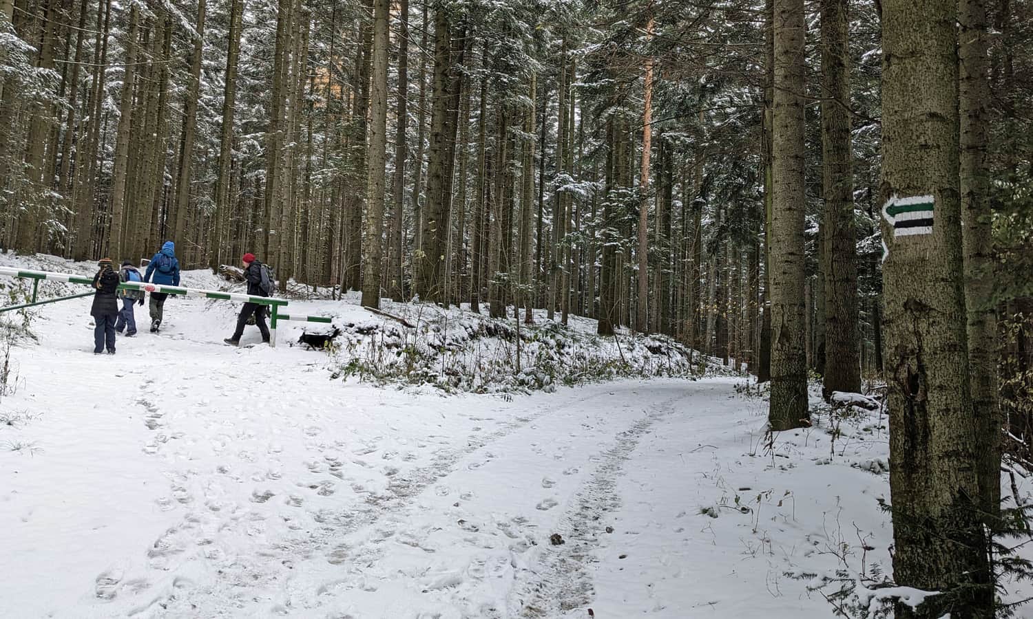
The green trail to Lubomir starts from Wiśniowa through the PKS Lipnik Granice bus stop, but you can also reach it from the PKS Kobielnik Wirchy bus stop. Those with vehicles can drive to the free parking at the end of the asphalt road, just before the trail entrance. The parking lot can accommodate several cars. From the parking lot, you can already enjoy a beautiful view of Kotlinka Wiśniowa, the Krzyworzeka valley, and the entire Cietnia Range: from the cone-shaped Grodzisko (on the left) to the massive Ciecień.
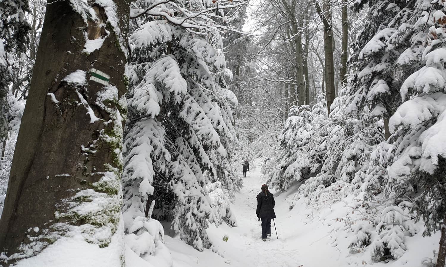
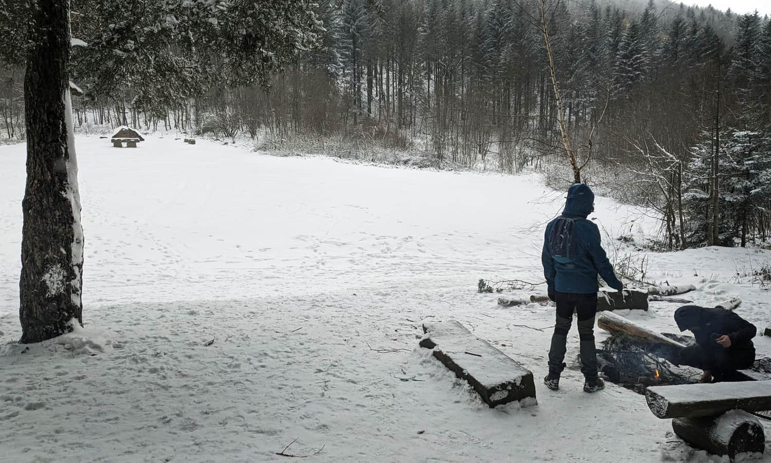
Green trail from Kobielnik to Lubomir
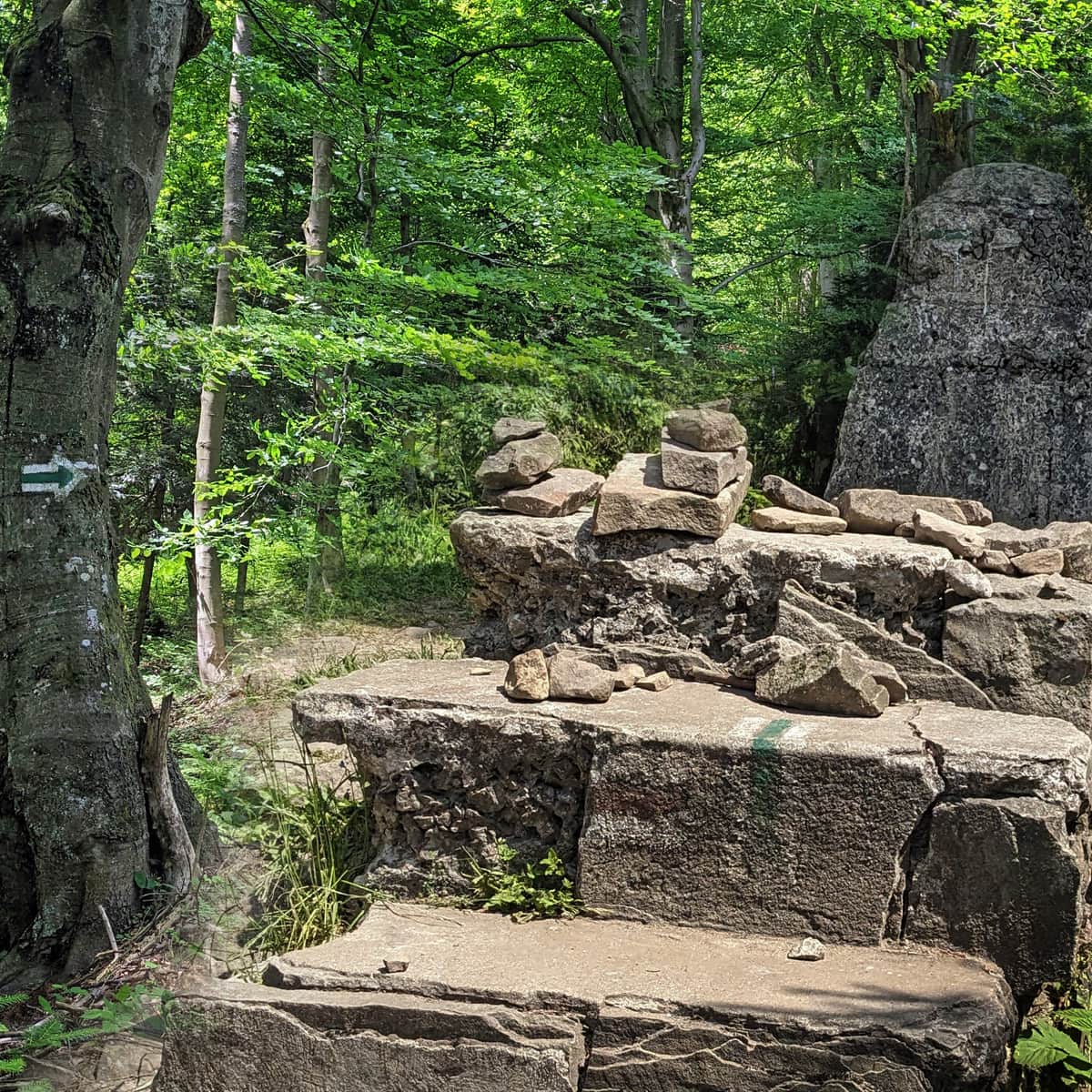
Right after the parking lot, the trail enters the forest and separates from the accompanying black markings. The forest path climbs the rather steep northeast slopes of Lubomir.
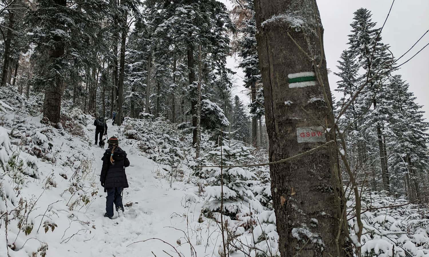
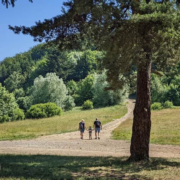
The second half of the trail is much gentler and leads us comfortably along the ridge to the summit of Lubomir and the astronomical observatory located there.
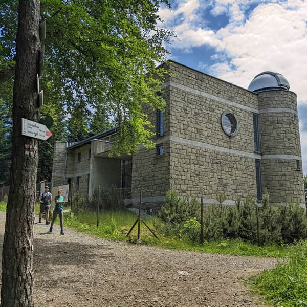
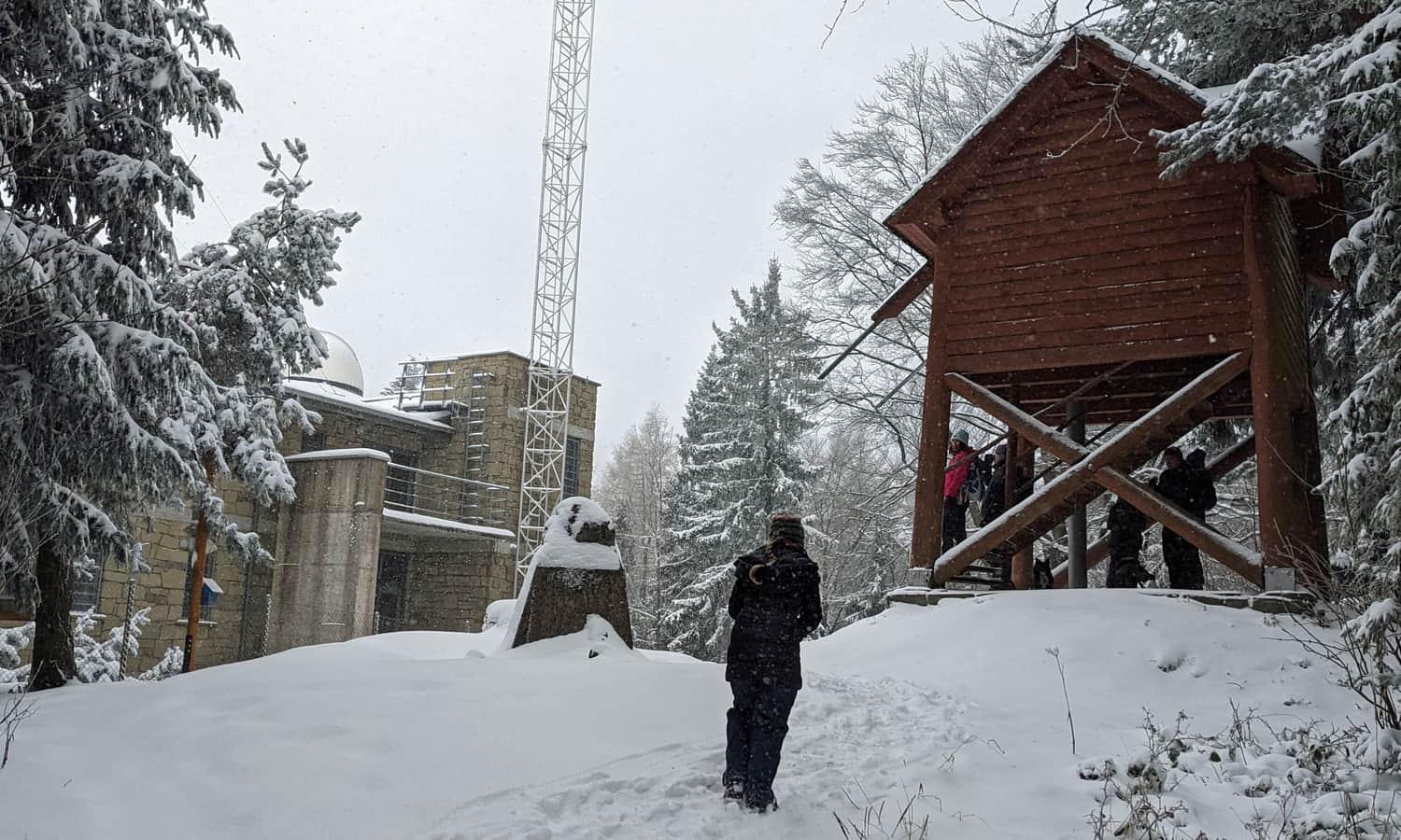
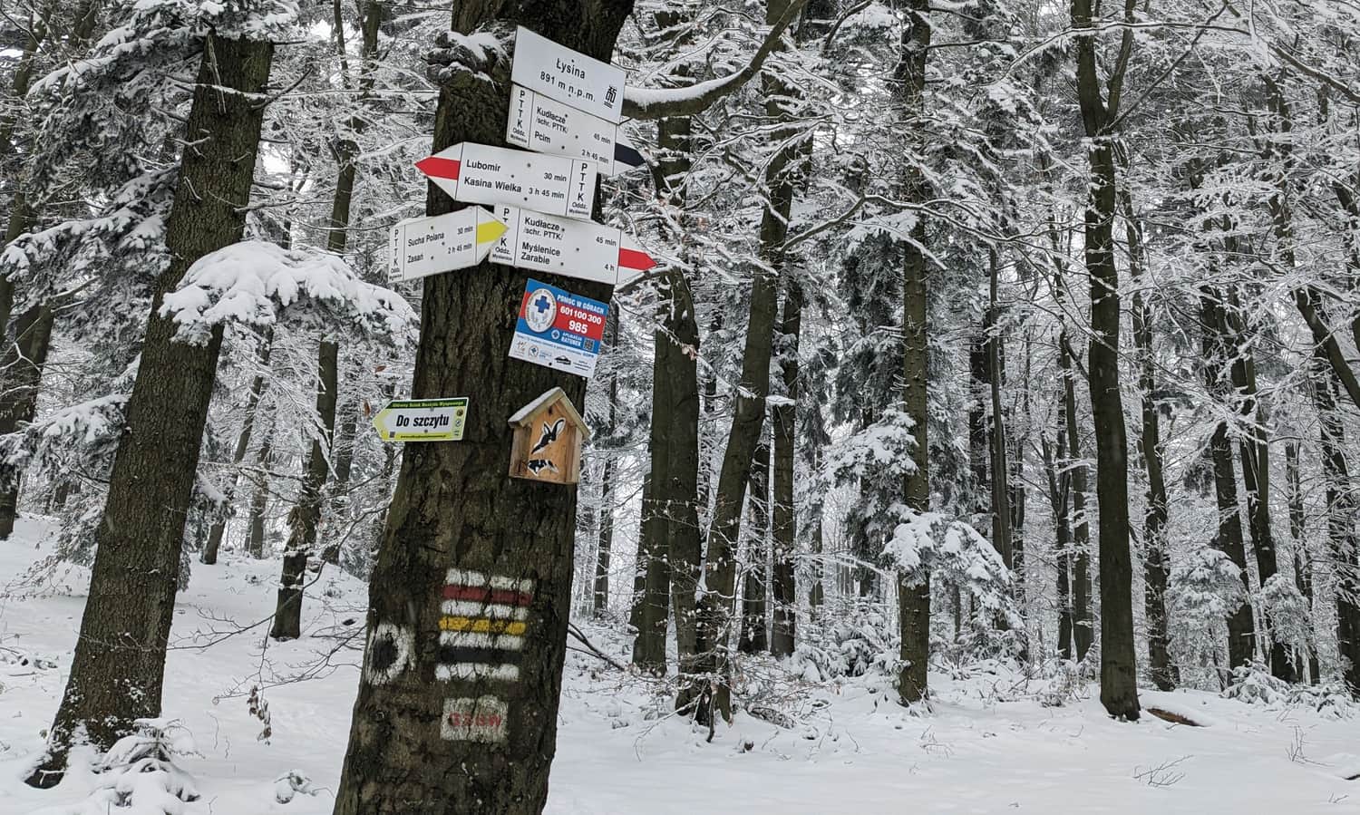
Lubomir, 904 meters above sea level - the highest peak of the Beskid Makowski
Congratulations! You have reached the highest peak of the Beskid Makowski range! It is the lowest peak of the Korona Polskich Beskidów (Crown of Polish Beskids) and also belongs to the Korona Gór Polski (Crown of Polish Mountains). Here, you will find a box with a stamp that will document your summit conquest in the appropriate booklet (e.g., for the GOT PTTK badge).

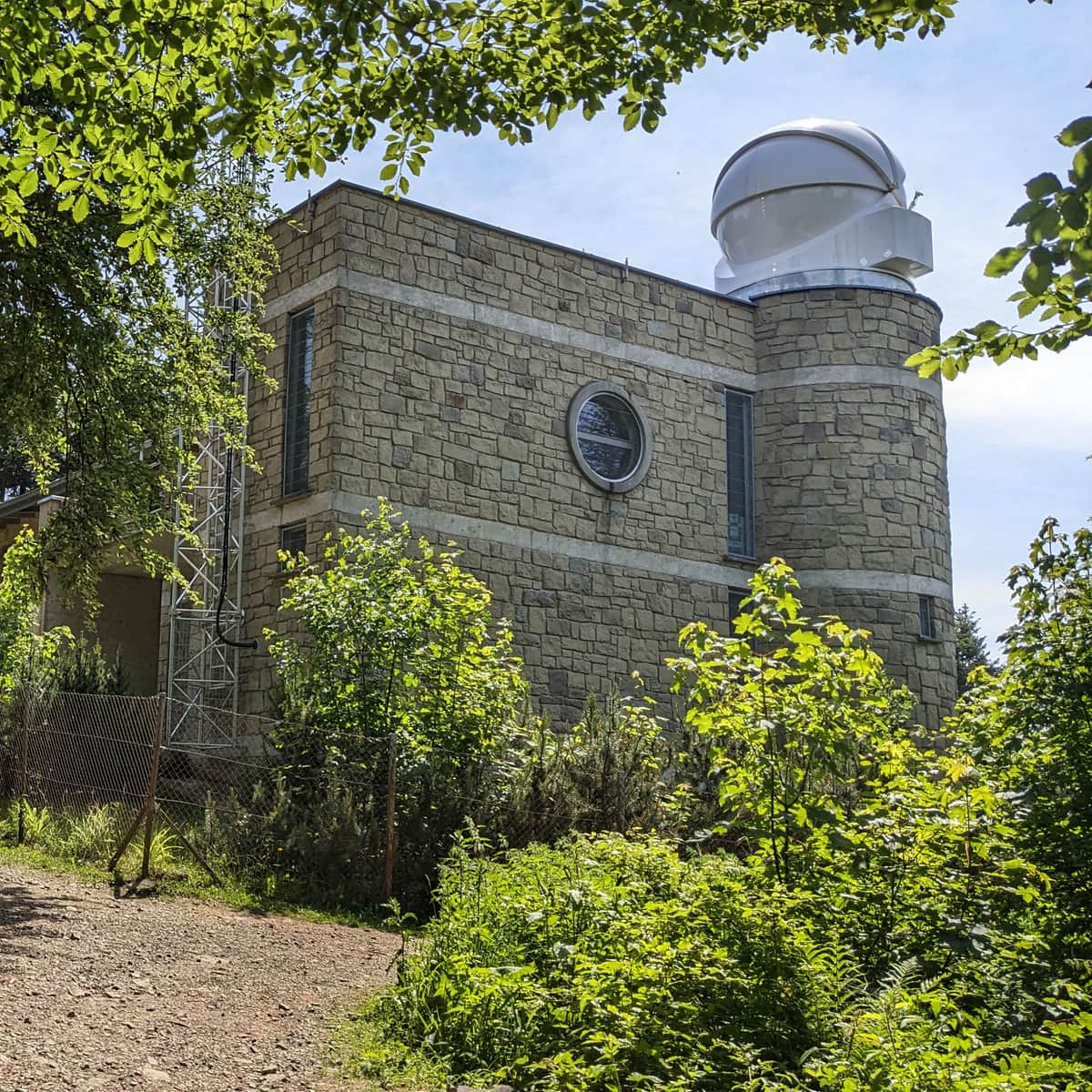
T. Banachiewicz Astronomical Observatory on Lubomir
Undoubtedly, one of the attractions of the highest peak of the Beskid Makowski is the astronomical observatory, which can be visited during specified periods. Night sky shows are also organized here. You can find up-to-date information about visiting and shows on the observatory's website.
You can find all the interesting facts about the summit of Lubomir and the observatory, as well as descriptions of other trails to the summit, here:
Lubomir - all trails, facts, and interesting information
Lubomir, at an elevation of 904 meters above sea level, is the highest peak of the Makowski Beskid, belonging to the Crown of Polish Mountains and the Crown of Polish Beskids. One of the attractions at the summit is the opportunity to visit an active astronomical observatory. What should tourists know about Lubomir and the trails leading to its summit? ...
Lubomir Summit... and what's next?
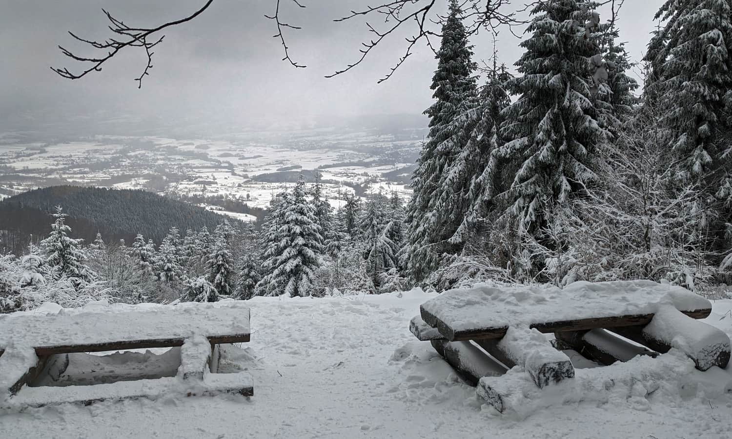
Firstly, you can return to the trail entrance the same way (the descent will take about 20-30 minutes). It is definitely worth walking a few hundred meters further on the red trail to the viewpoint in the north, 10 minutes from the summit of Lubomir (exact location on the map at the end of the article).
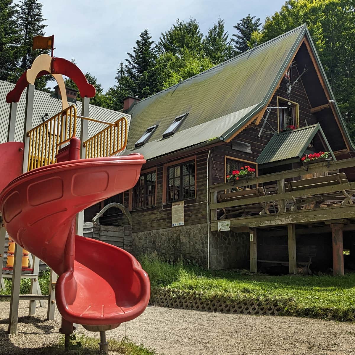
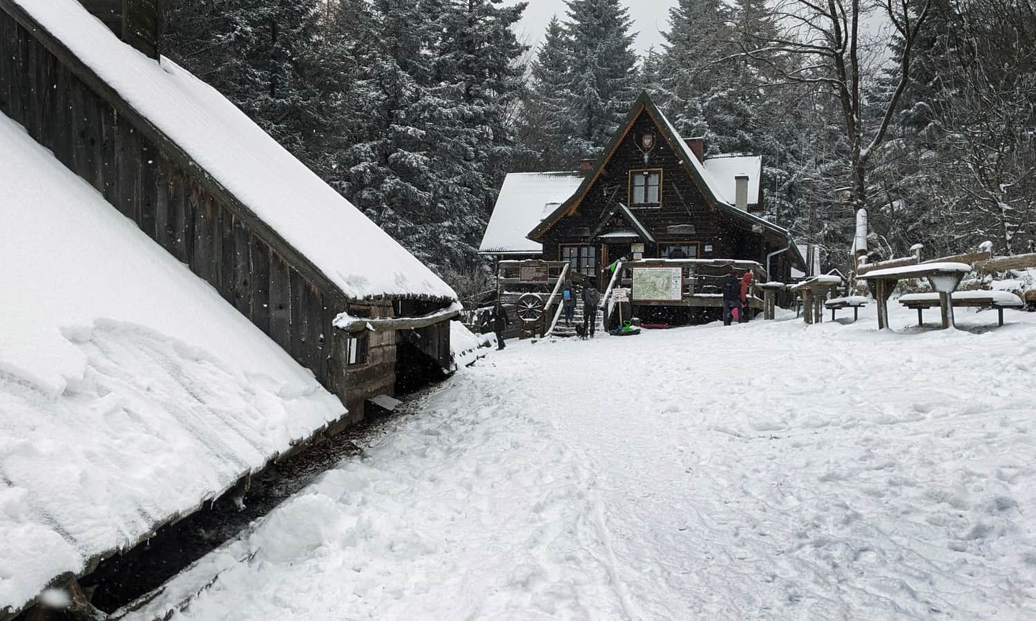
Taking the same red trail, you can reach the PTTK Kudłacze Shelter in about 1 hour:
...and by turning from the red to the yellow trail, you can descend to the picturesque Polana Sucha in about 40 minutes:
Loop from Lipnik: Lubomir - Kudłacze - Sucha Polana
After reaching Lubomir on the green trail, you can make a loop by walking along the ridge through Łysina on the red (or less frequented black) trail to the PTTK Kudłacze Shelter. Then, descend to Polana Sucha on the green trail and return to the parking lot on the new black trail.
During such a trip, covering a distance of about 10 km with an elevation difference of about 400 meters, you will not only conquer the highest peak of the Beskid Makowski, Lubomir (904 meters above sea level), and the astronomical observatory but also visit the viewpoint, the atmospheric PTTK shelter on the scenic Polana Kudłacze, and the picturesque Polana Sucha, which is important for the region's history.
PS. You can also shorten the loop by using the steep yellow Łysina - Polana Sucha trail. In this case, you will not visit the shelter at Kudłacze, but your trip will be reduced to 6.5 km (with a 330 m elevation difference, to be covered in about 2 hours).
Lubomir - trail map and points of interest
You can see all the described trails and the location of interesting places in the Lubomir summit area on this map:

Publish Date:
Last Updated:
More in the Region Beskid Makowski (Beskid Makowski)