
Beskid Makowski Mountrange
Beskid Makowski, also known as the Middle Beskids, is a mountain range located between the Little Beskids and Żywiec Beskids (to the west) and the Island Beskids (to the east). The Makowski Beskid also includes the region traditionally called "Beskid Myślenicki".
The main centers and trail junctions are Maków Podhalański, Myślenice, and Pcim. The most popular peaks to conquer are Babica and Koskowa Góra in the central part of the range, as well as the highest peak of the range: Lubomir (904 meters above sea level) in the eastern part of the range.
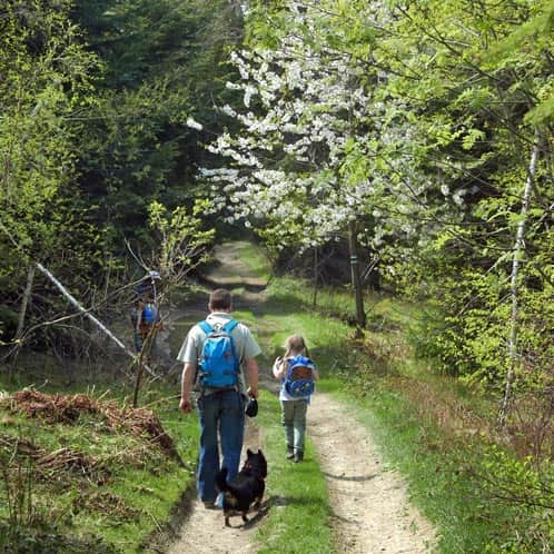
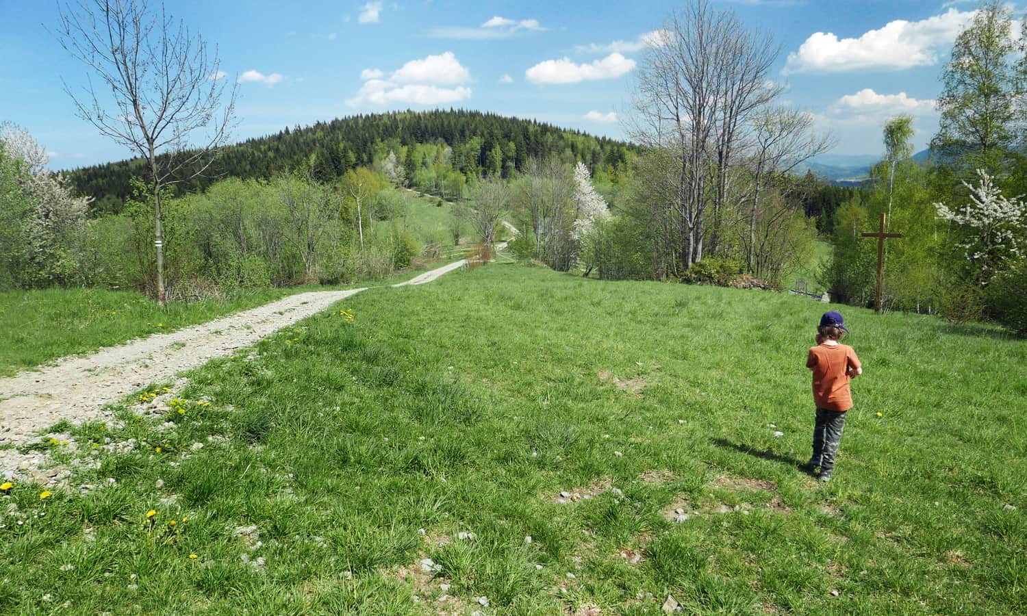
Beskid Makowski with Children
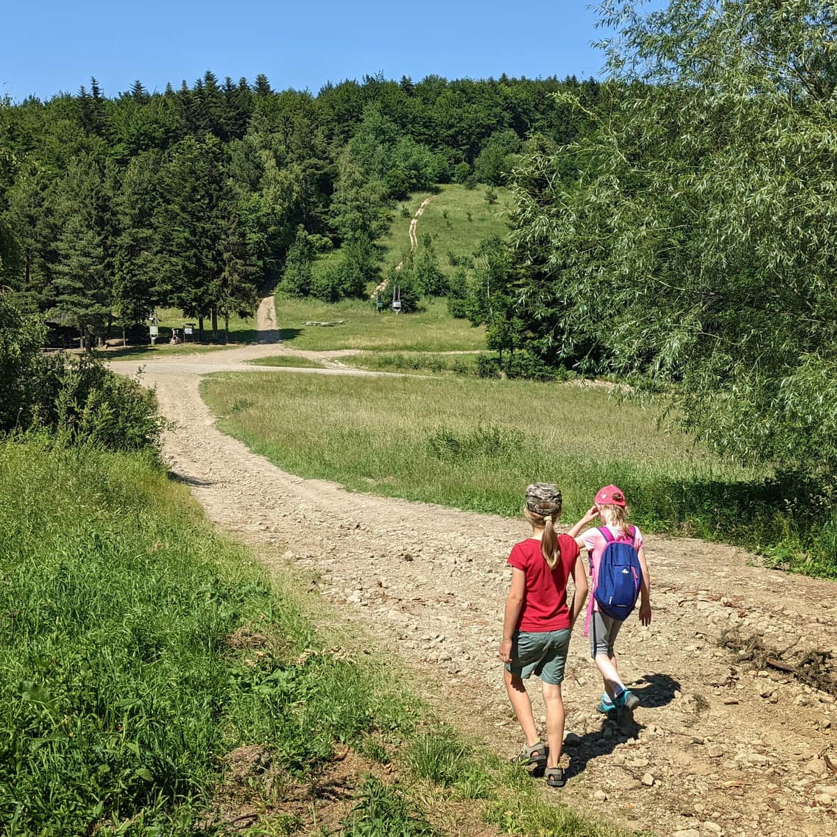
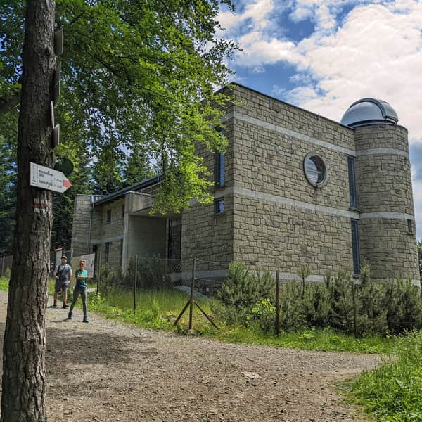
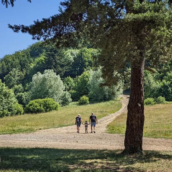
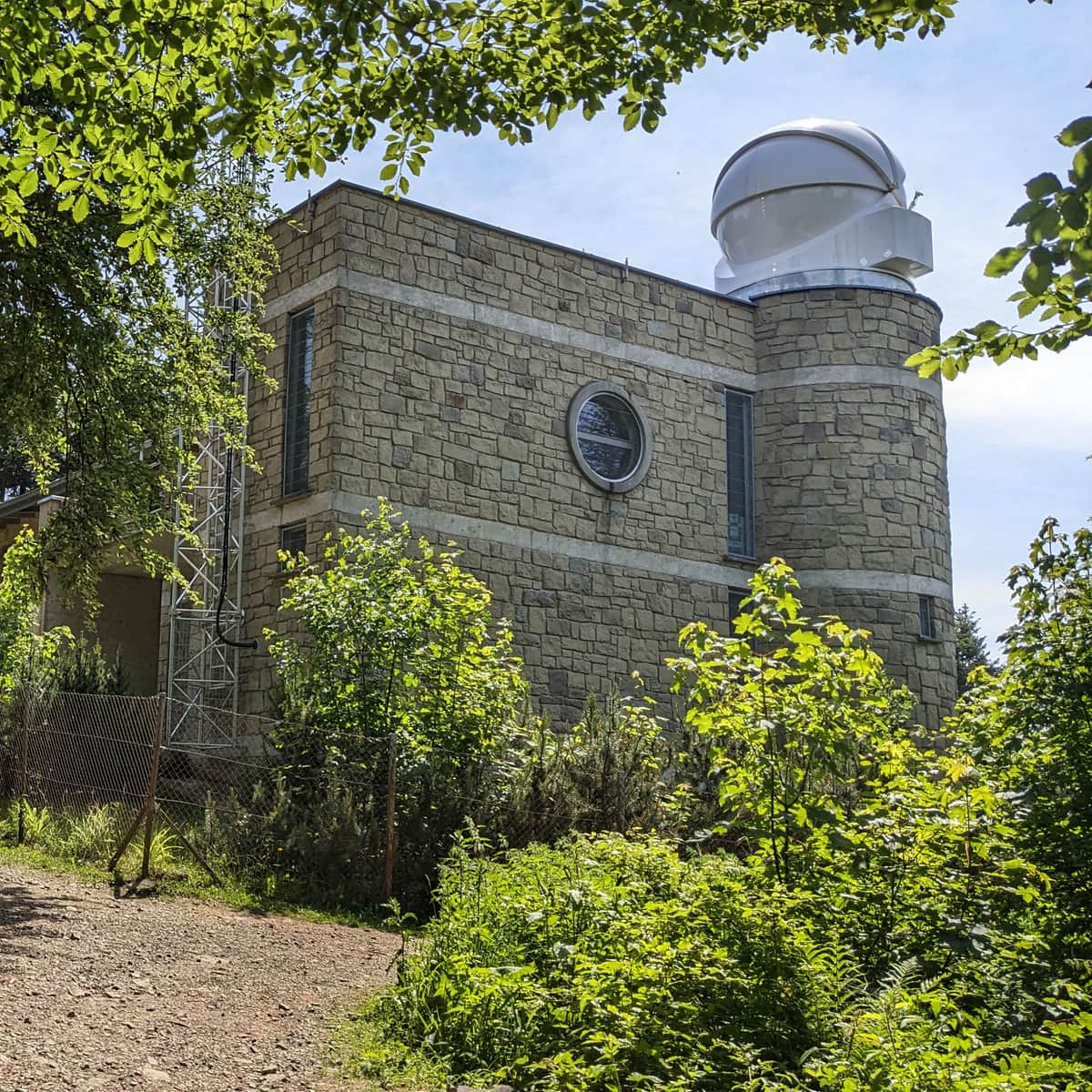
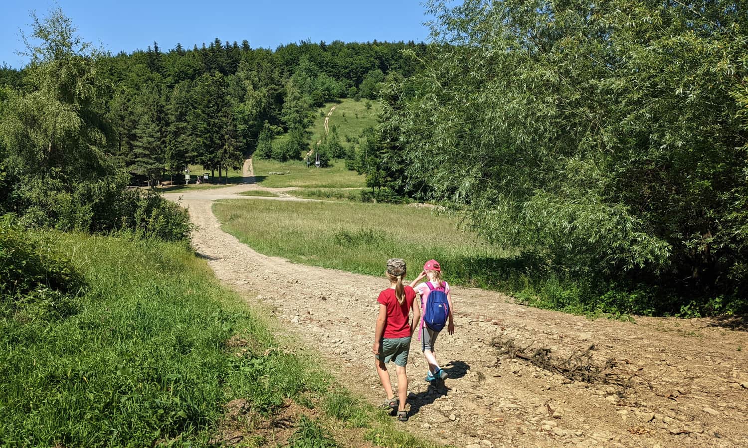
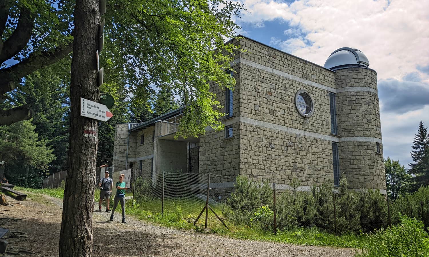
Beskid Makowski is mainly composed of forests and gentle hills. The mountain trails are short and easily accessible. For a family trip in the Makowski Beskid, we recommend the area around the Kudłacze shelter, a walk to Sucha Polana, and a visit to the observatory on Lubomir.
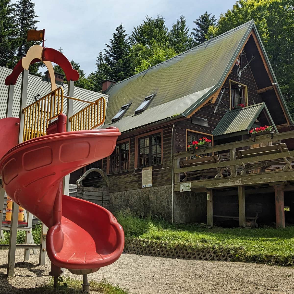
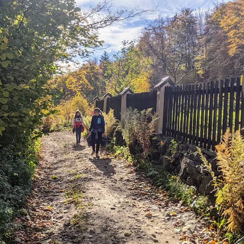
PTTK Shelter on Kudłacze Meadow
PTTK Shelter at Kudłacze - so close to Krakow that you can visit for an afternoon family walk. ...
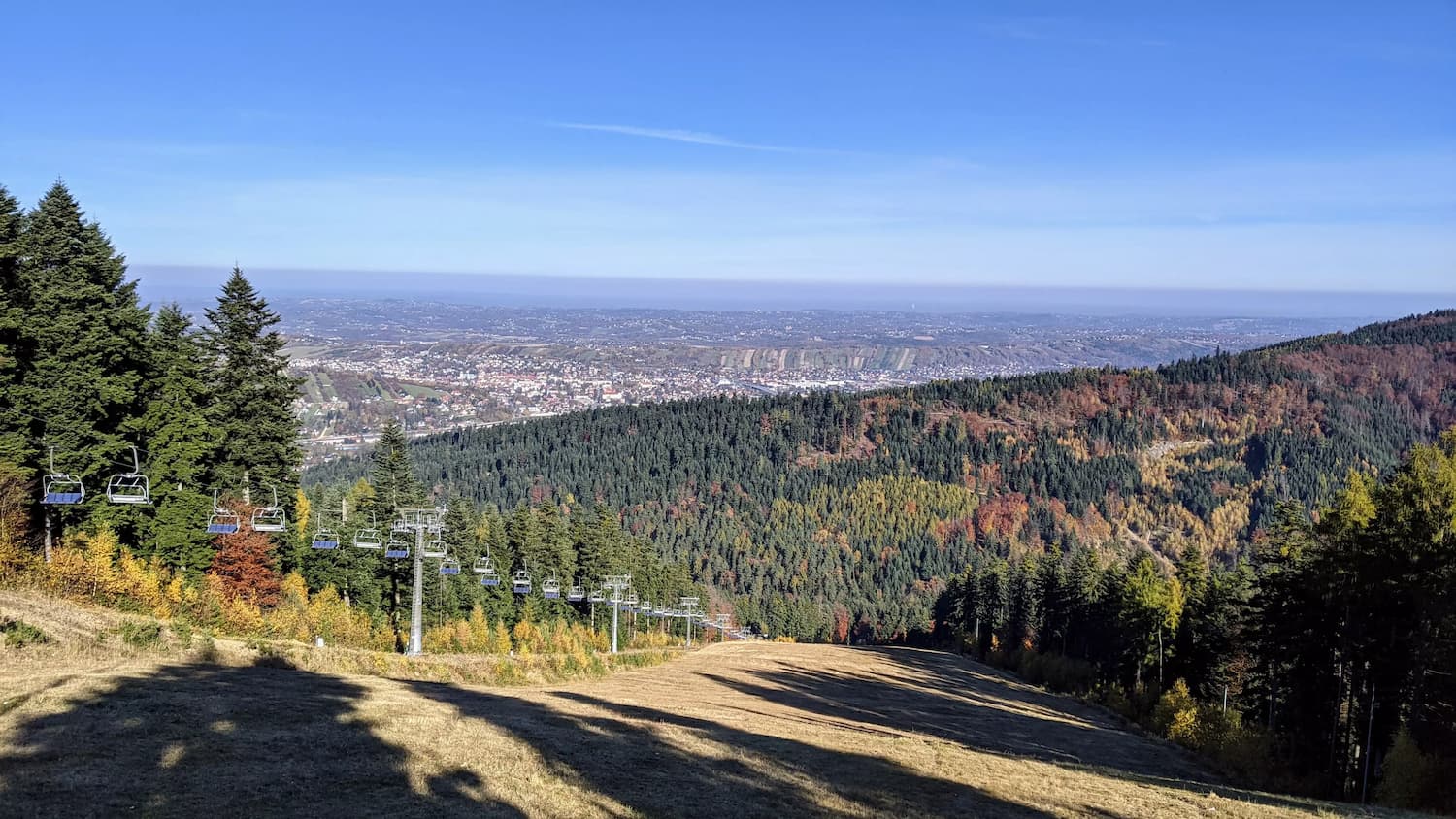
Beskid Makowski - Most Beautiful Views
Despite the relatively low heights of the peaks in the Makowski Beskid, there are several places with beautiful views, such as the meadows on Babica (with a view of Babia Góra), the clearing on Groń, and the "window" on the way to Lubomir...
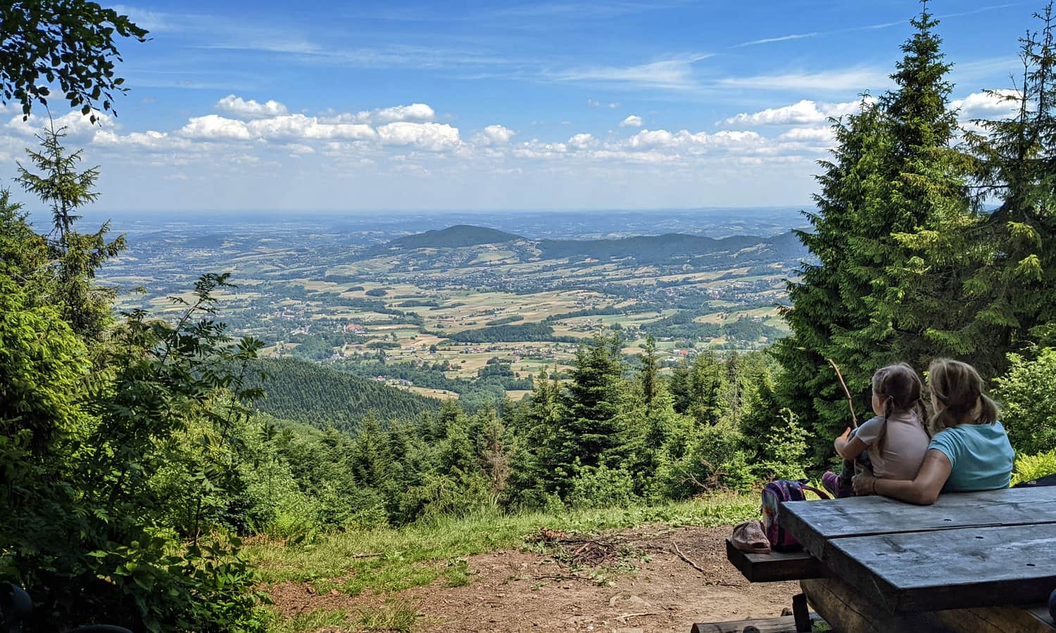
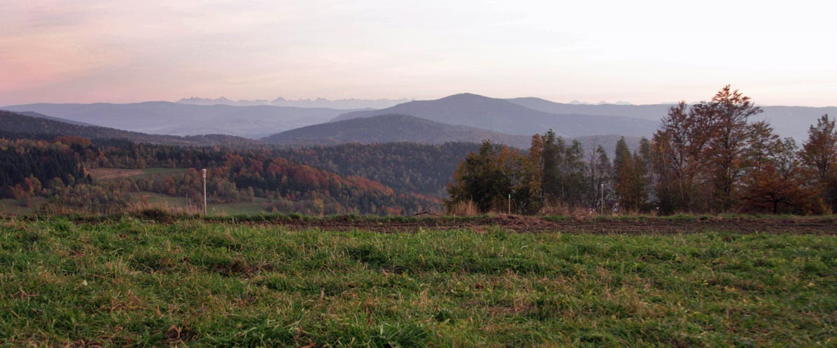
... and from the meadow just below Kudłacze, we can even see the Tatra Mountains chain:
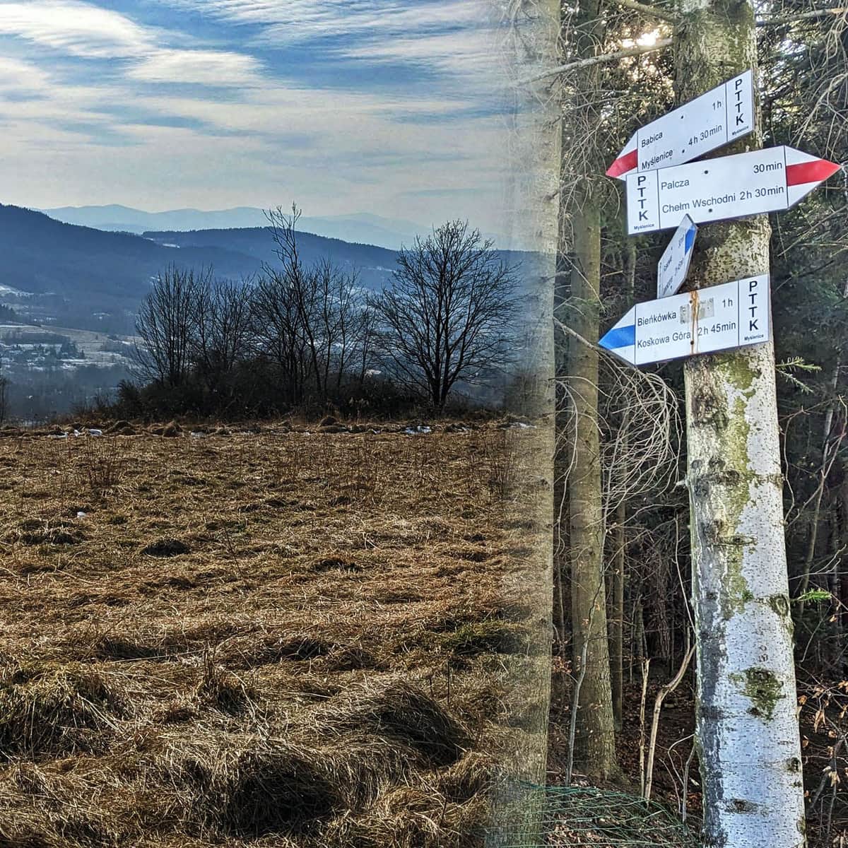
Trails in the Makowski Beskid
The Makowski Beskid is crossed by the long-distance red trail called the Mały Szlak Beskidzki (full route is 137 km, starting in Bielsko-Biała Straconka in the Little Beskids and ending at the summit of Luboń Wielki in the Island Beskids).
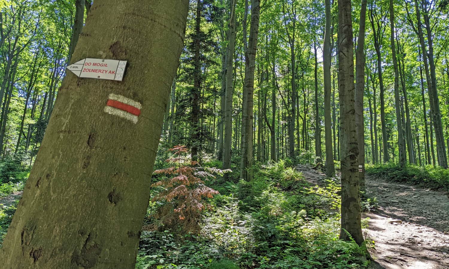
However, there are many other colorful trails that can be combined into longer and interesting loops, such as Stołowa Góra and Groń with Skomielna Czarna, or Babica and Cisy Raciborowskiego with Harbutowice:
Easy
Stołowa Góra and Groń from Skomielna Czarna

Medium
Beskid Makowski: Babica and Raciborski Yews

If you are up for a longer hike, we recommend reaching Kudłacze from Myślenice. You can use the chairlift to the top of Chełm, but you can also choose a different route and walk 10 km in one direction, and after a rest in the shelter, another 10 km back:
Medium
Easiest route from Myślenice to the Kudłacze shelter

A significant advantage of most trails in the Makowski Beskid is their low popularity (except for Mount Chełm near Myślenice, the Kudłacze area, and Lubomir), which means a certain "wildness" and a lack of tourist traffic. If you are looking for a trail where you won't encounter anyone (or almost anyone), we recommend Beskid Makowski!
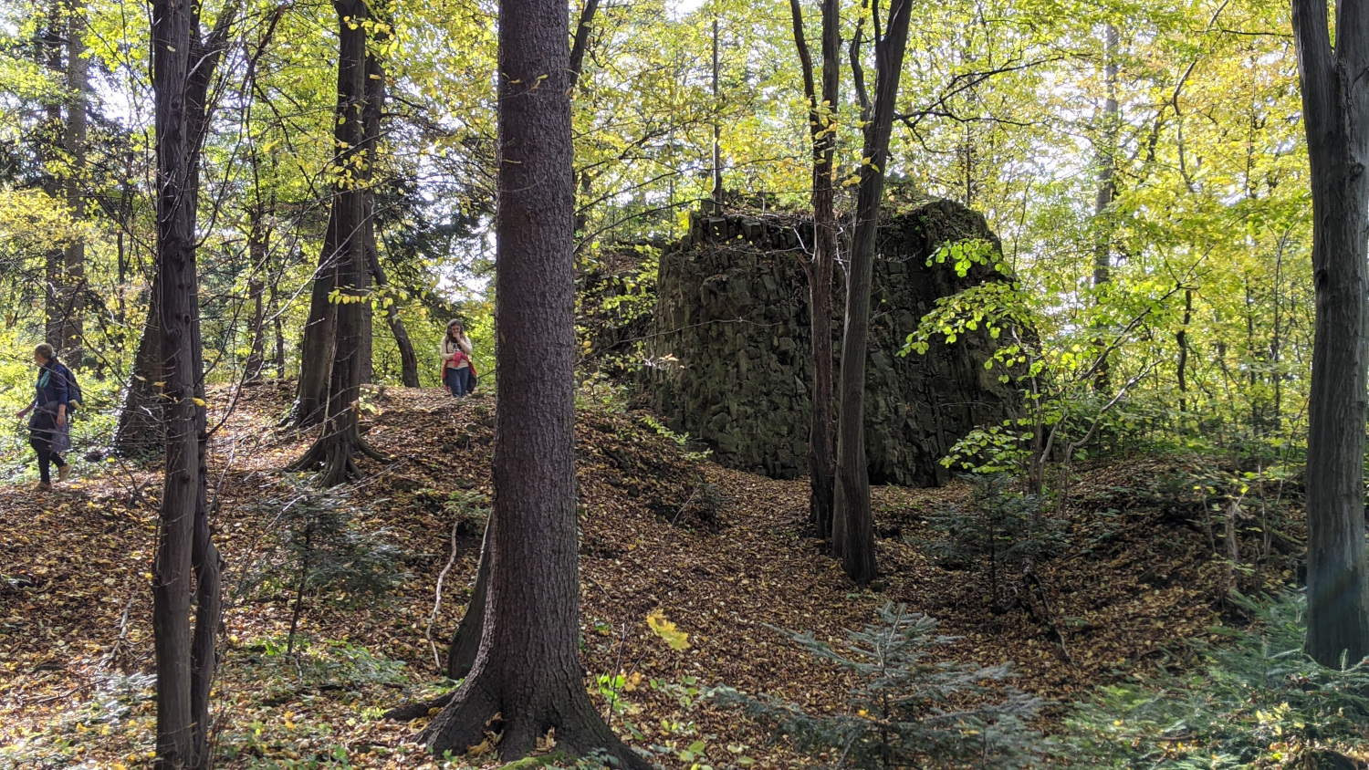
Beskid Makowski - Attractions for Children and More!
An attraction that requires little effort in the Makowski Beskid is definitely taking a ride on the Chełm chairlift, having fun at the Zarabie in Myślenice (numerous playgrounds), or taking an easy walk along the educational forest path.
You can also search for the ruins of the Myślenice Castle in the area:
On the northern side, Beskid Makowski borders Lake Dobczyce - you can sunbathe, engage in water sports, and visit the Royal Castle and the small open-air museum in Dobczyce.
Ps. New Borders of Beskid Makowski / Middle Beskids
To establish the borders of the region, we rely on the latest findings of the Polish Academy of Sciences, namely the monograph Regional Physical Geography of Poland published in 2018. Therefore, for accuracy, in the "Beskid Makowski" tab on our website, you will find trails and places from the Makowski Beskid mesoregion 513.48. This also means that our tab includes the Łysina and Lubomir ranges (previously often classified as part of the Island Beskids or Myślenice Beskids), while the Jałowiec Range and Mędralowa (classified by some as part of the Makowski/Middle Beskids) can be found in the Beskid Żywiecki tab.