Beskid Makowski: Babica and Raciborski Yews
Town: Harbutowice Nearby: Myślenicewb_sunny Route in the sun
directions_car Access by car
directions_bus Can be reached by bus
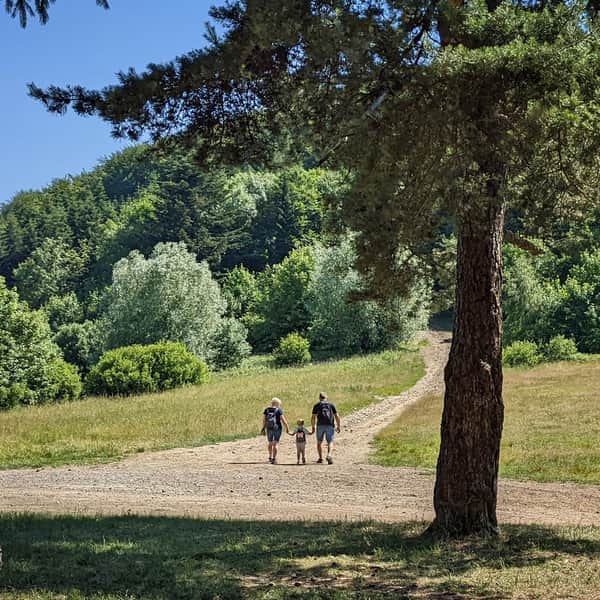
A route for a pleasant sunny walk with beautiful views!
Attractions: forest, sunny meadows, moderately empty paths, beautiful views of Babia Góra and the surrounding ranges, Raciborski Yews (two 600-year-old natural monuments)
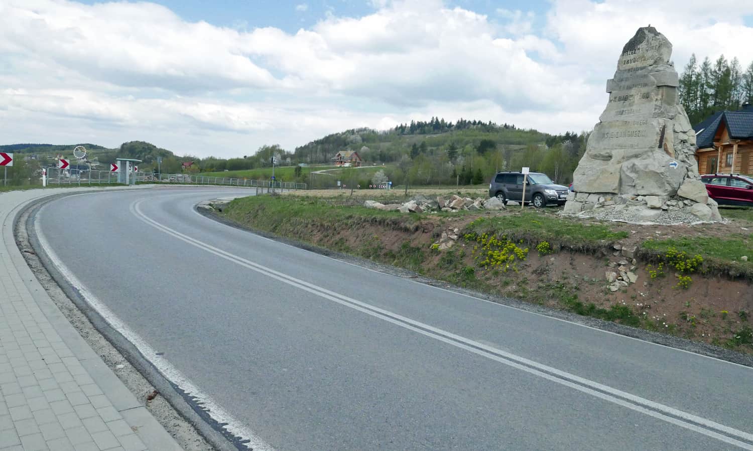
Easy access: The route starts at Sanguszki Pass (small parking lot, bus stop/PKS) near the village of Harbutowice. There is a characteristic memorial rock at the pass.
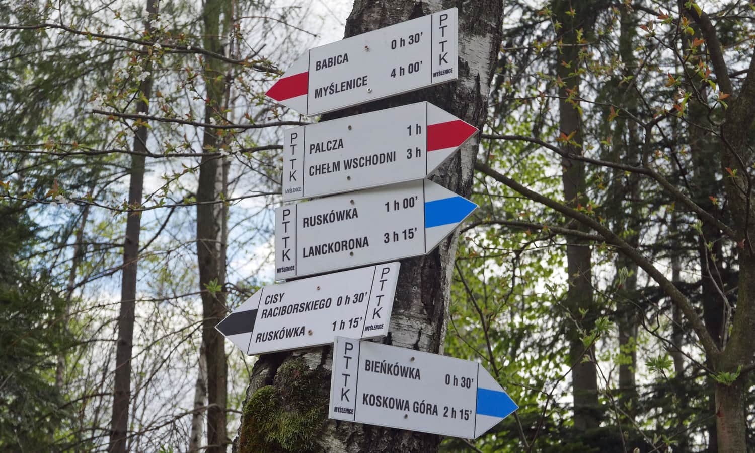
Blue trail from Sanguszki Pass
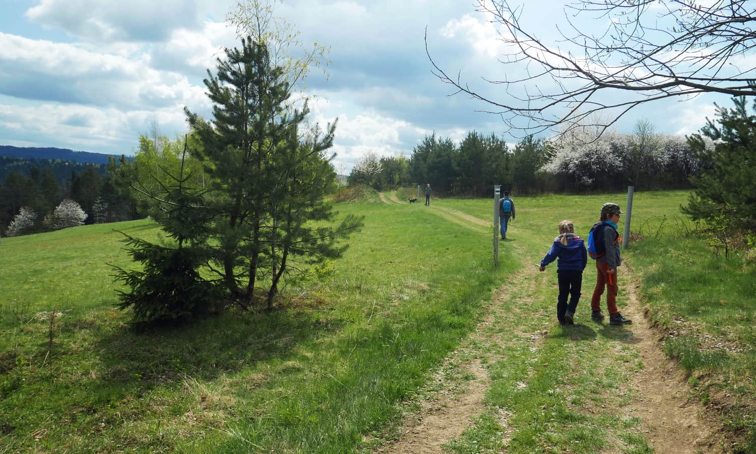
From the pass, head south on a narrow asphalt road gently ascending through picturesque meadows to the small settlement of Ruskówka.
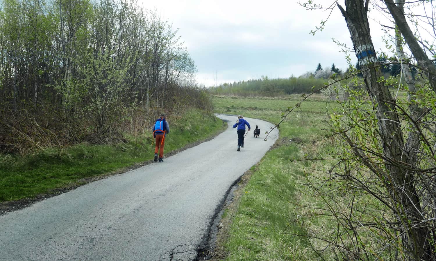
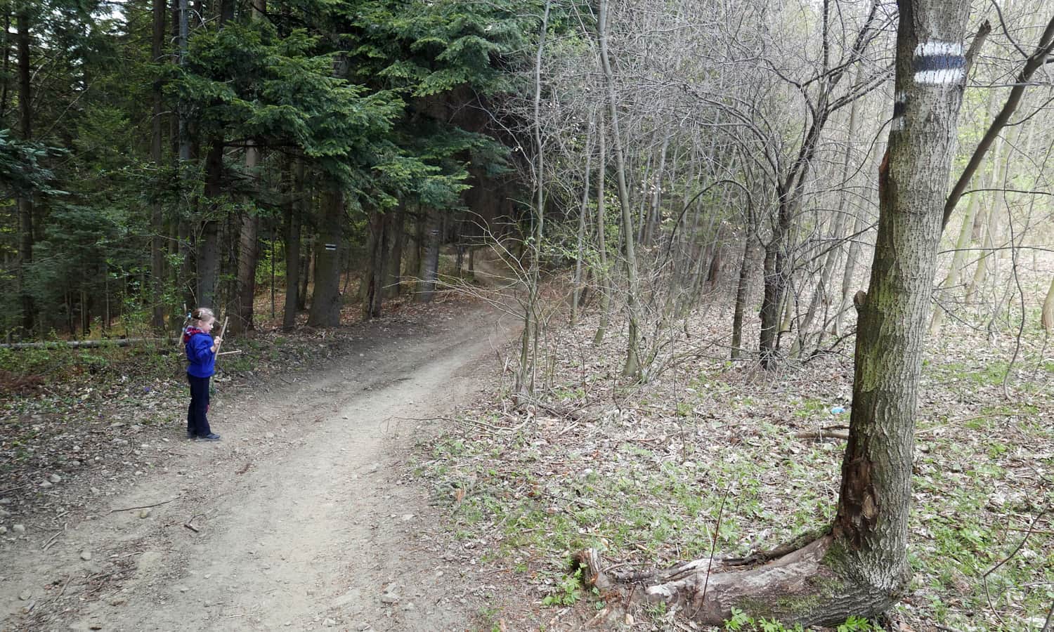
Here, the blue trail merges with the black trail (which we will return on), but for now, follow the blue signs along a shaded path that will lead us into the forest. The forest is rather sparse, with numerous clearings - this is a walk for those who enjoy the sun and open space!
The trail descends to an asphalt road near the village of Końcówka (we only pass through it) and joins the red signs of the Mały Szlak Beskidzki (Little Beskids Trail). Here awaits the most challenging section: a fairly steep forest ravine.
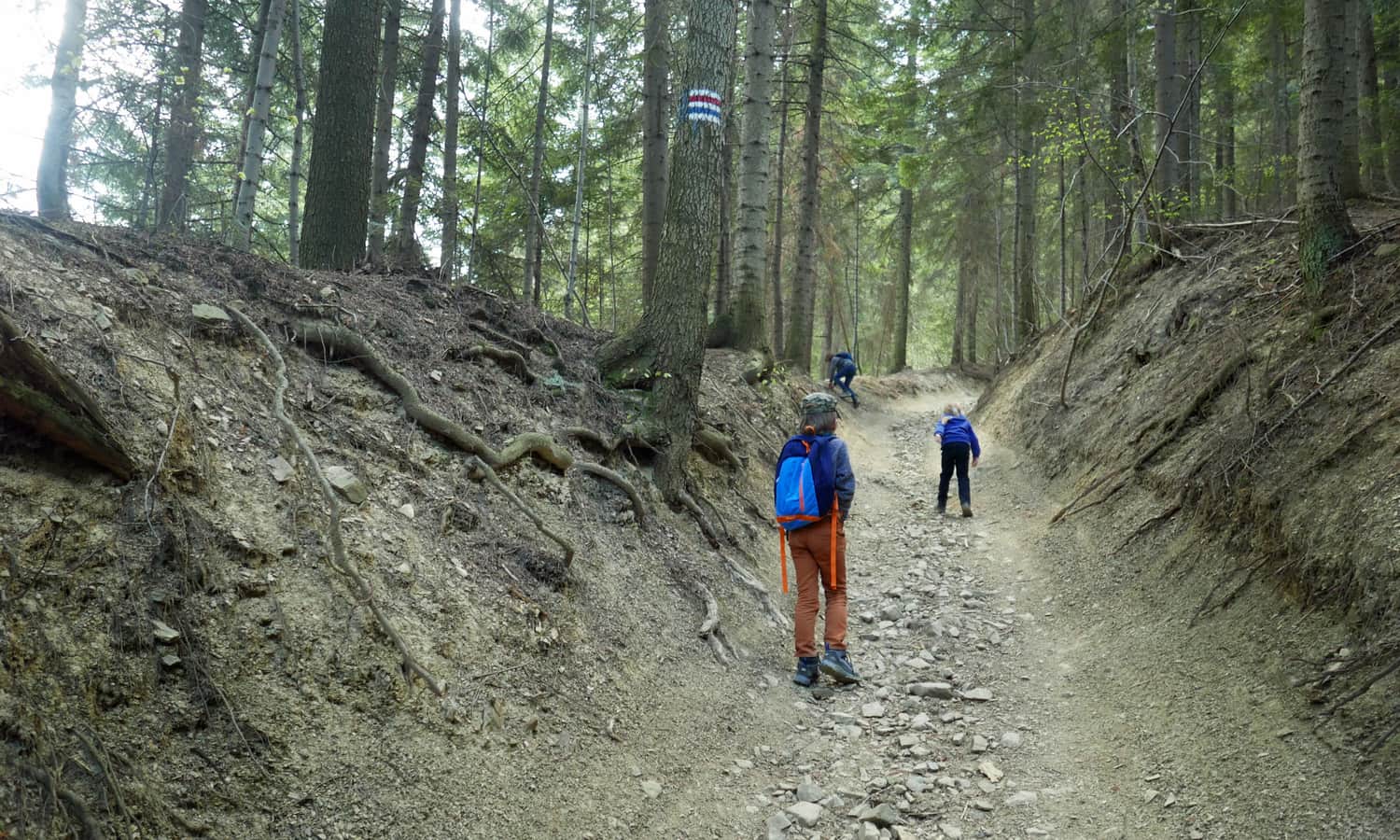
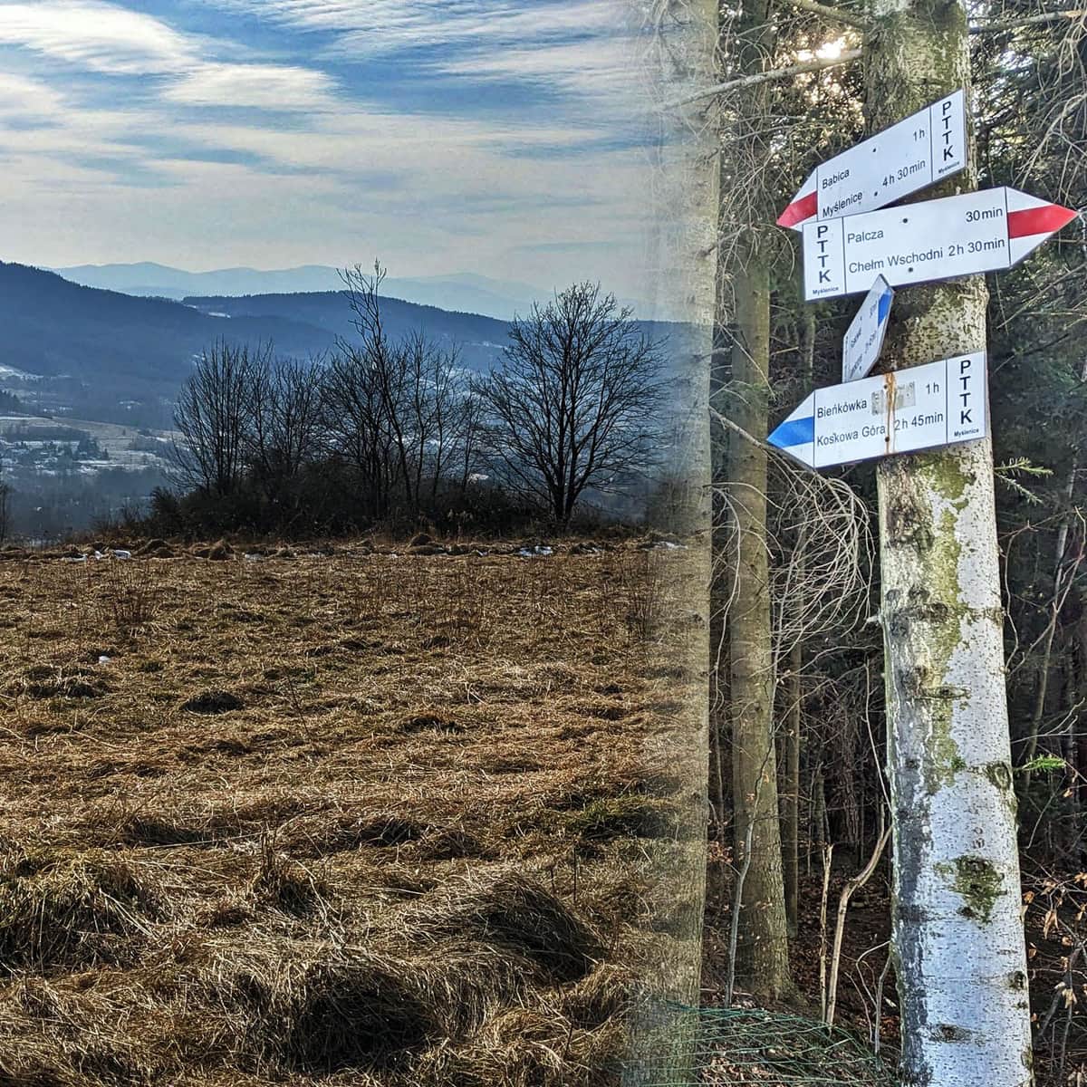
After about 15-20 minutes, we reach the ridge of Babica, where...
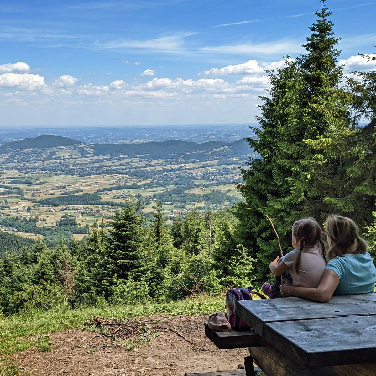
Meadows with a view of the queen: Babia Góra
...and the surrounding ranges, including Policę and Pilsko, await.
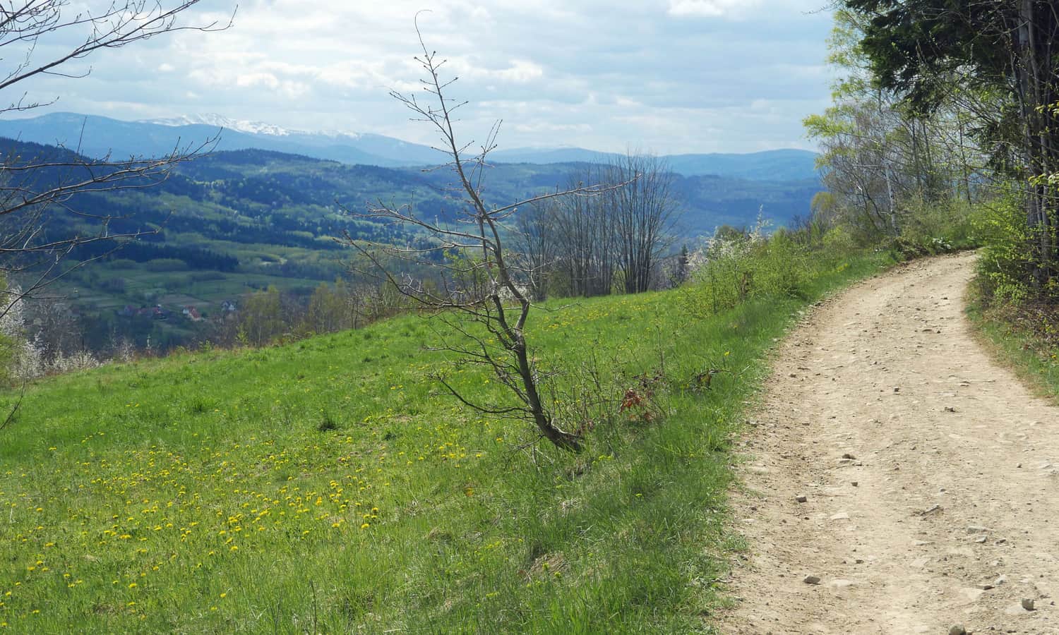
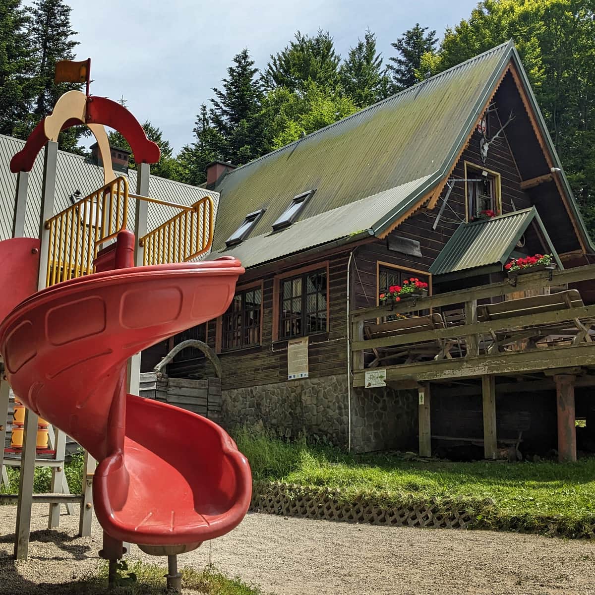
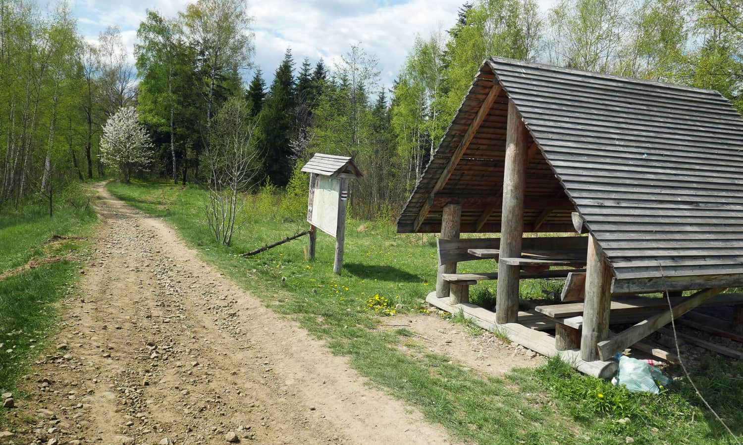
Now, a wide field road leads along the broad ridge through meadows and small groves (those seeking shade will find some relief here). Along the way, there is a wooden shelter (with a "chess point"! unfortunately, the board is in poor condition...).
The only downside is that this road is accessible, which means you may encounter quads, motorcycles, and off-road vehicles (officially, motorized vehicles are not allowed on this road!).
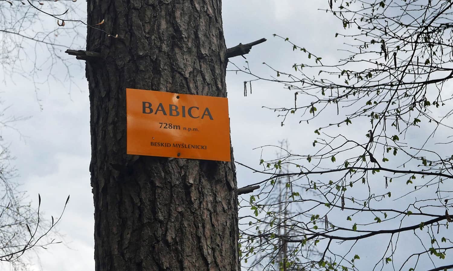
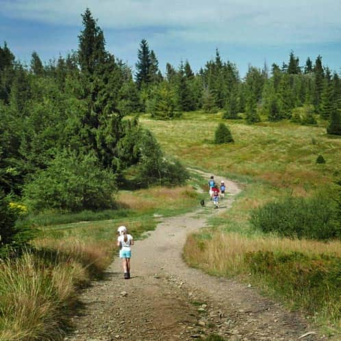
Ridge and summit of Babica in Beskid Makowski
In contrast to the forested ridge, the summit of Babica (728 m above sea level) is entirely covered in trees. Supposedly, there are fortifications from World War I in the vicinity of the summit (on the northern slope). We didn't find them, but we weren't specifically looking either. If you find them, please let us know!
Black trail Babica - Raciborski Yews - Ruskówka
We return along the same initial route, but just before the shelter, we turn right onto the black trail.
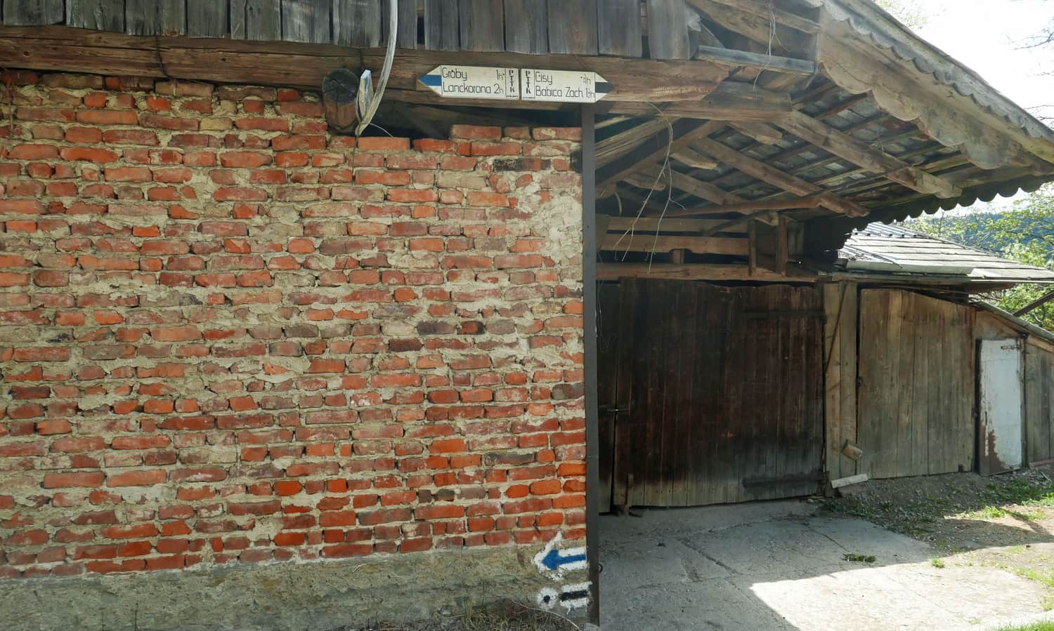
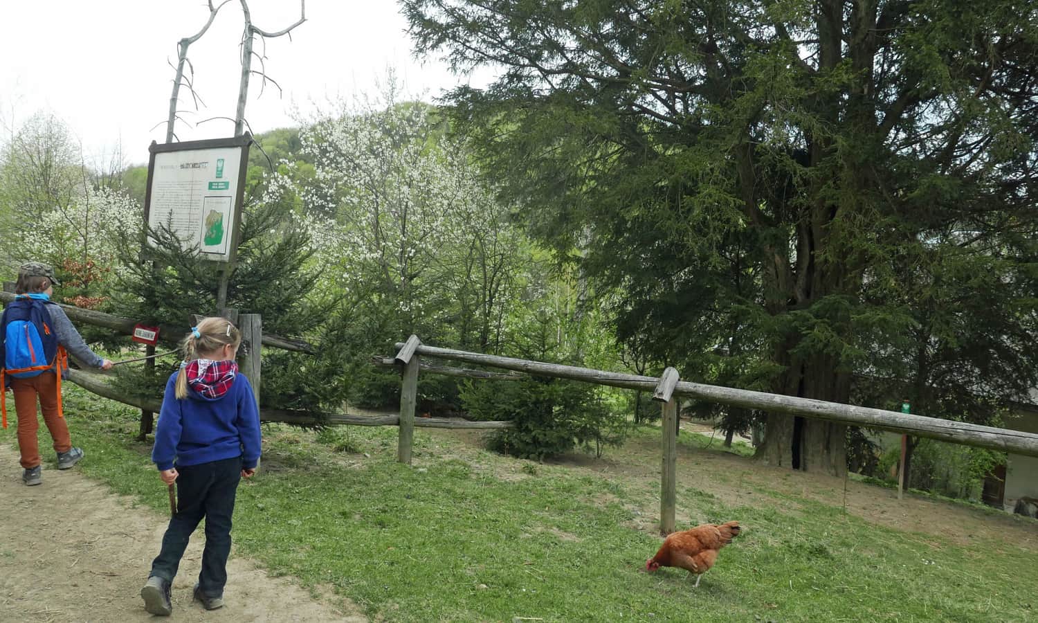
The black trail is much steeper than the blue trail and more forested (= shaded). We exit the forest near the village of Podlesie. Here, right by the path, within one of the farms, there are two natural monuments: 600-year-old yews, as well as a signboard with interesting facts and a bench.
Further, the road descends to the lower part of the village until an asphalt road. We must walk a few dozen meters along the road and then turn left into the forest. A short forest path ascends to the village of Ruskówka: here, we return to the blue trail and follow it back to Sanguszki Pass.
PS. This route has been included in our article "TOP 5 Beskid Makowski - the most beautiful trails with views". Would you like to learn about the others?
TOP 5 Beskid Makowski: the most beautiful trails with views
Beskid Makowski (also known as Średni or Myślenicki) is a region full of easy and scenic mountain trails, perfect for family hikes. ...
...as well as in the article "Mountain routes for family hikes near Krakow":
Mountain trails for family hikes near Krakow
Where to go from Krakow for a short mountain trip? Hundreds of kilometers of hiking trails south of the capital of Małopolska. ...
...and in the article "Beautiful scenic trails in the Beskids":
Beautiful Scenic Trails in the Beskids
Beskidy is not just forests! It's also scenic meadows and open ridges, offering breathtaking panoramas of the entire mountain range! ...

Publish Date:
Last Updated:
More in the Region Beskid Makowski (Beskid Makowski)