
TOP 5 Beskid Makowski: the most beautiful trails with views
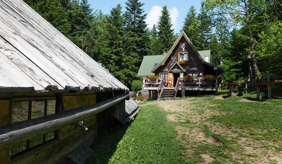
Beskid Makowski (also known as Średni or Myślenicki) is a region full of easy and scenic mountain trails, perfect for family hikes. One of the advantages of Beskid Makowski is the good and quick access from Krakow, as well as the wealth of additional attractions: including the Chełm and Zarabie railway with playgrounds and the mysterious ruins of the castle in Myślenice, Kudłacze mountain shelter, and the observatory on Lubomir.
We recommend 5 trails in Beskid Makowski of varying difficulty, you will definitely find something for yourself!
1. From Kudłacze to the observatory on Lubomir
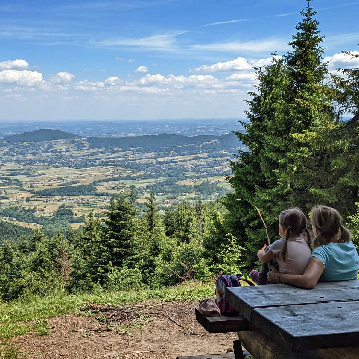
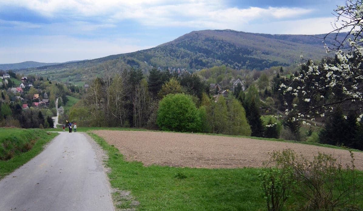
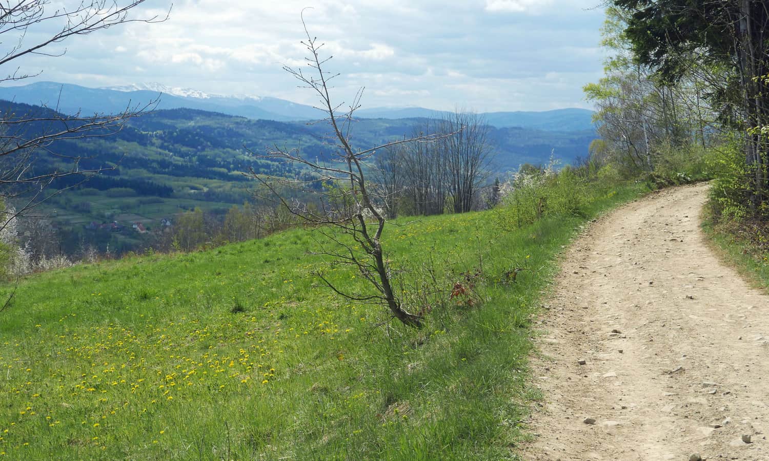
This hike is of a difficulty level similar to a longer walk in a city park. You can drive to the Kudłacze mountain shelter (parking a few dozen meters below the shelter, paid). Then, you set off on a wide forest road following the red trail to Łysina and then to Lubomir, which is 904 meters above sea level - the highest peak of the Beskid Makowski range, included in the Crown of Polish Mountains!

On the way, just before the summit, be sure to stop at the viewpoint with a panorama to the north:
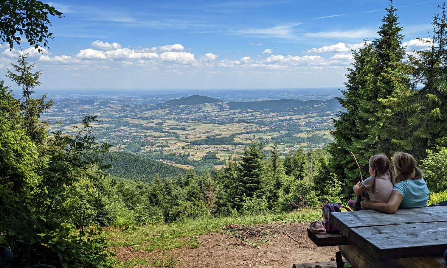
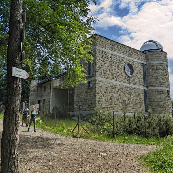
There is an Astronomical Observatory on Lubomir, which can be visited (for a fee). We return to Kudłacze using the same road, or a more wild and empty black trail.
Easy
From Kudłacze to Lubomir

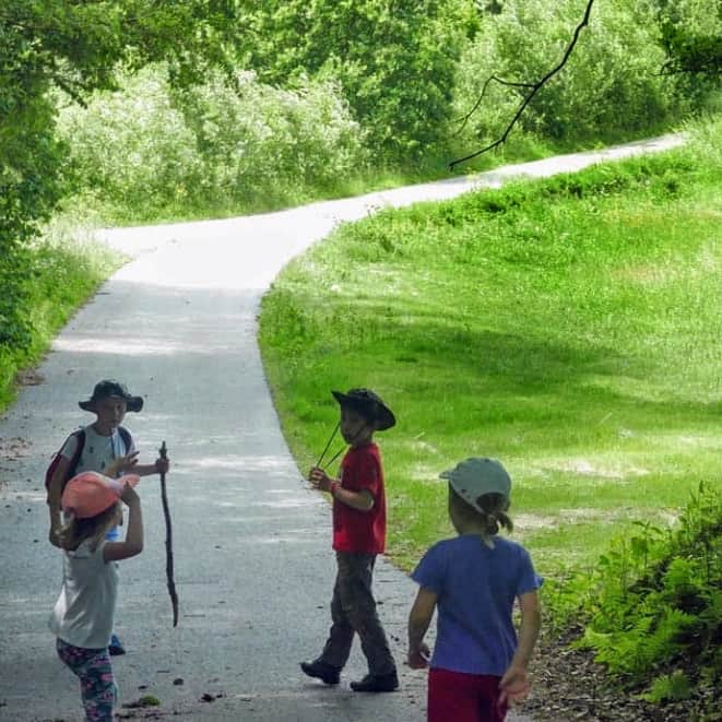
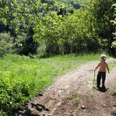
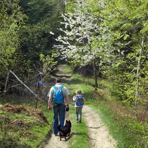
2. From Poręba through Działek to Kudłacze
If you do not want to drive to the mountain shelter but prefer to walk to the destination, the shortest route leads from Poręba through Działek. Initially, we ascend on an asphalt road, but later we enter the forest.
There will be a few uphill sections, but you will surely manage!
Easy
From Poręba to Kudłacze via Działek

3. Kamiennik, Sucha Polana, and Kudłacze
There is another beautiful route that leads to the Kudłacze mountain shelter: through Kamiennik. This time there will be a bit more climbing, but along the way, we will visit the picturesque Sucha Polana. Did you know that it is the northernmost natural habitat of crocuses?
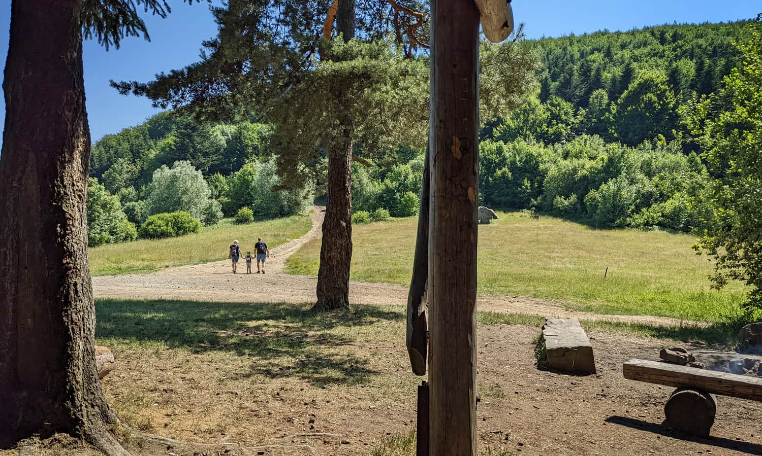
From Sucha Polana, we ascend to Kudłacze following the green trail. We can return to Poręba using the same road or a shorter trail through Działek (described above).
Medium
From Poręba to Kudłacze Shelter via Kamiennik

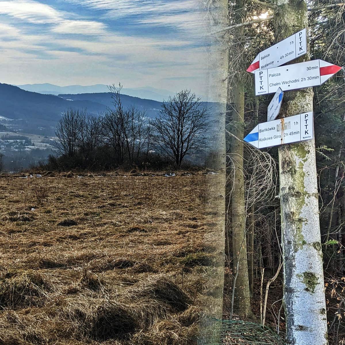
4. Babica and Cisy Raciborskiego
The Babica range is famous for its beautiful panorama to the south and southwest. From here, we can easily see the majestic massif of Babia Góra, and under good conditions, we can also catch a glimpse of the Tatra Mountains.
We can climb Babica from many sides: following the red trail from Palcza (5 km) or from Myślenice (15 km), or the blue trail from Bieńkówka (3 km). We can also go here from the Sanguszko Pass in Harbutowice and, in the meantime, "tick off" Krowia Góra and the Cisy Raciborskiego Reserve:
Medium
Beskid Makowski: Babica and Raciborski Yews

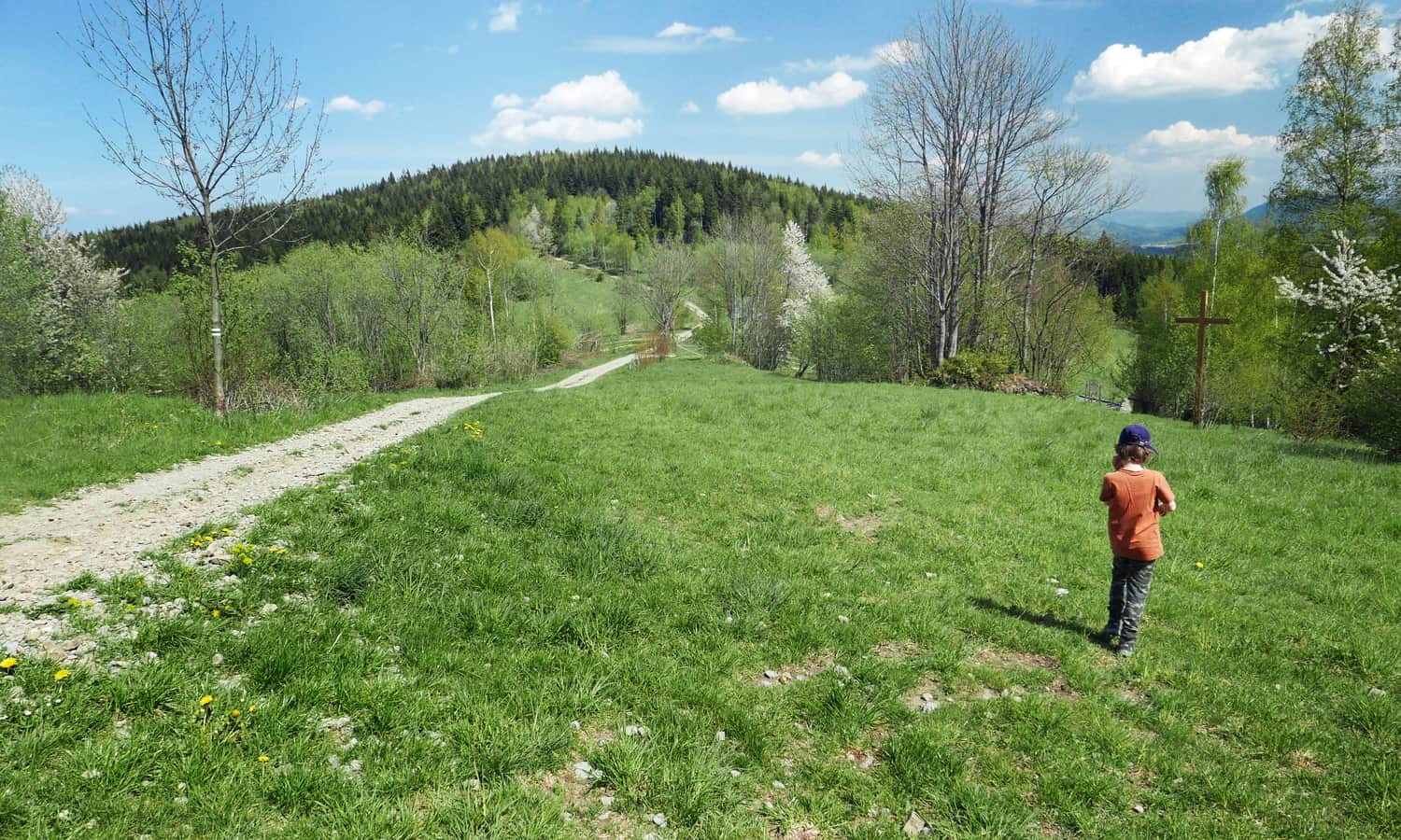
5. Stołowa Góra and Groń
This will mainly be a forest loop with one extensive meadow called Pod Groniem. The undeniable advantage of this trail is its minimal popularity. Apart from the meadow Pod Groniem, where off-road vehicles sometimes arrive, you most likely won't meet anyone here, and you will have charming forest paths and small clearings with panoramic windows to the south "all to yourselves".
Easy
Stołowa Góra and Groń from Skomielna Czarna

There are, of course, many more recommended trails in Beskid Makowski! For example, if you feel like going on a really long hike, choose to go to Kudłacze from Myślenice (it will be 10 km to the shelter and 10 km back), and if you go to Kudłacze via Chełm, it will be a bit further (4 km from Myślenice to Chełm and 7 km from Chełm to Kudłacze). We would also love to hear about your favorite trails in the Beskids!
Scenic trails in Beskid Makowski - map
You can find all the trails described above, along with the exact location of the photos, on the map in the article header.

Publish Date:
Last Updated: