Kudłacze - Łysina. Black Trail
Nearby: Myślenice| Distance | 3.8km |
|---|---|
| Time | 1h 37min |
| Ascents | 268m |
| Descents | 97m |
beach_access Route in the shade
restaurant Restaurant or bar nearby
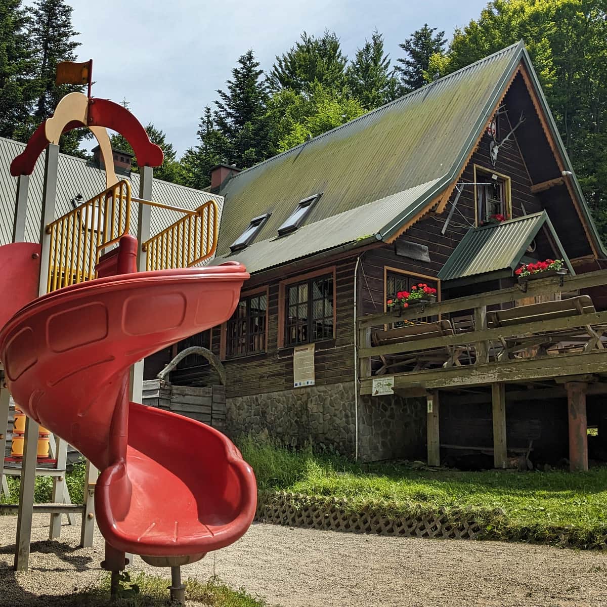
sports_basketball Playground along the route
wc Toilet along the route
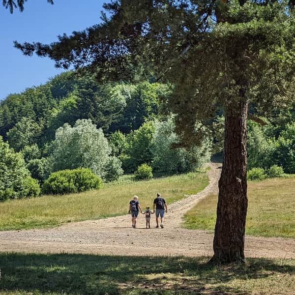
The Black Trail from Kudłacze to Łysina is an alternative route from the PTTK shelter at Polana Kudłacze to the summit of Łysina (or vice versa). Compared to the red trail to the astronomical observatory on Lubomir, it is much less crowded, almost empty, but it can be steeper in some places.
This trail is for people who don't like crowds but are ready for challenges!
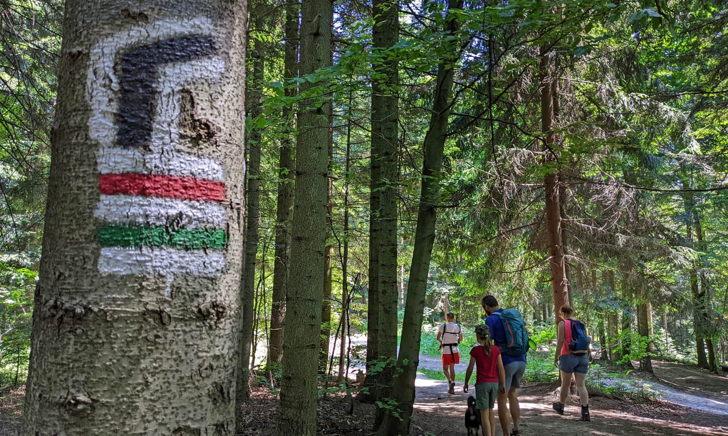
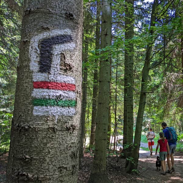
The Black Trail diverges from the red and green trails and leads to a narrower path along the southern slopes of Łysina.
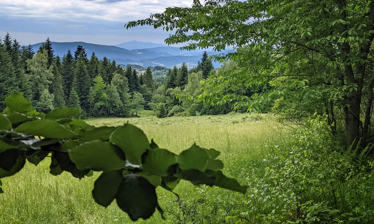
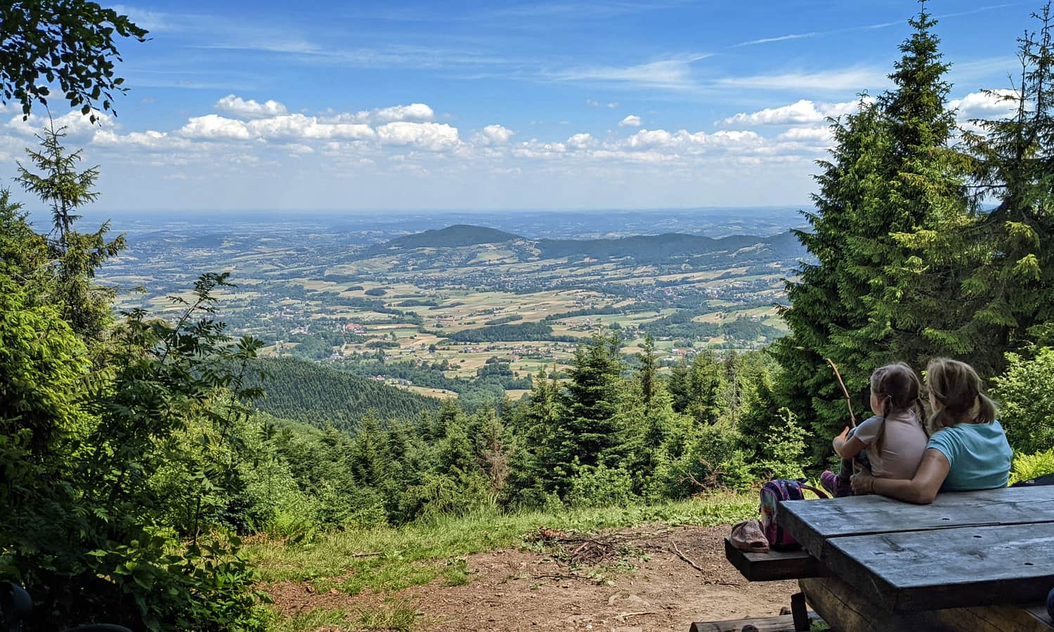
Although we walk through the forest, in the shade, without views, at some point we pass a "window" with a view of Babia Góra:
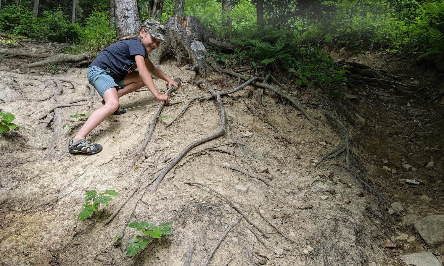
Attention! Some sections of the black trail are steep and can be slippery and dangerous, especially during rain.
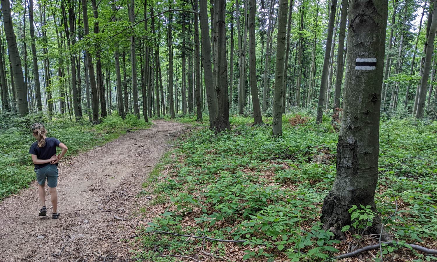
Closer to the summit of Łysina, the path becomes easier and more comfortable.
Łysina - Lubomir
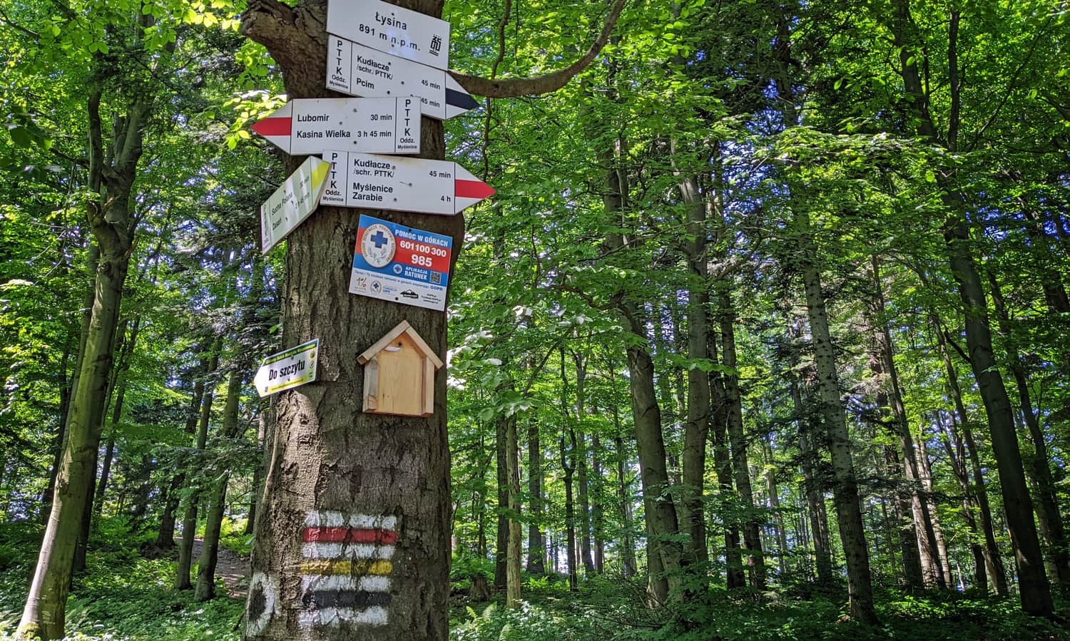
At the top of Łysina, there is a sign and a small intersection of trails, and basically nothing more...
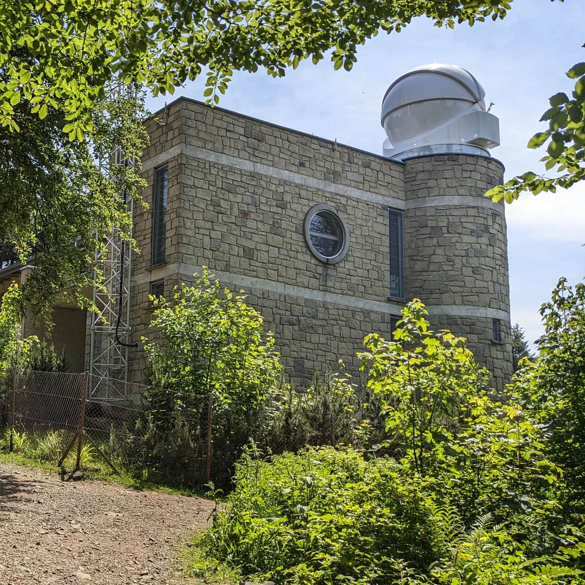
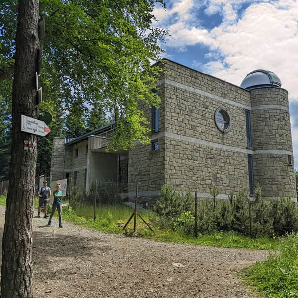
If we want to reach the viewpoint and observatory on Lubomir from Łysina, we continue our hike along the ridge on the red trail. It is about 1.5 km (30 minutes) from the intersection of trails.
Easy
From Kudłacze to Lubomir


Publish Date:
Last Updated:
More in the Region Beskid Makowski (Beskid Makowski)