From Kudłacze to Lubomir
Town: Pcim Nearby: Myślenice| Distance | 3.6km |
|---|---|
| Time | 1h 28min |
| Ascents | 231m |
| Descents | 60m |
beach_access Route in the shade
restaurant Restaurant or bar nearby
sports_basketball Playground along the route
sports_tennis Attractions for children
directions_car Access by car
wc Toilet along the route
An interesting and easy forest trip to Lubomir (904 m above sea level), the highest peak of the Makowski Beskid (although some tourists classify it as the Wyspowy Beskid, the Main Trail of the Wyspowy Beskid even runs here...)
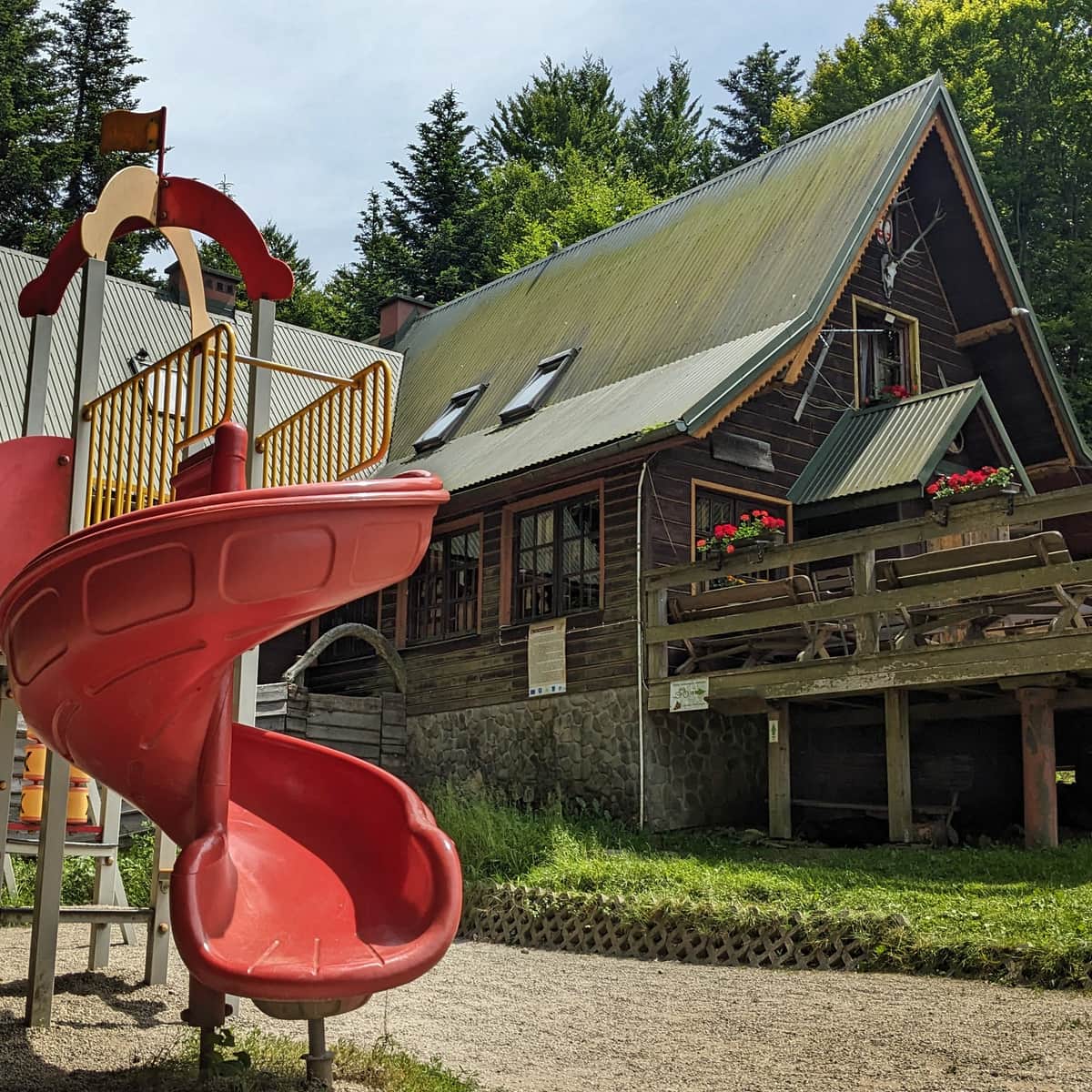
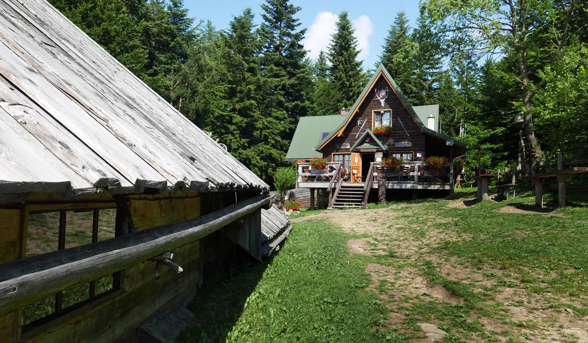
The route has the advantage that it starts and ends at the PTTK Shelter in Kudłacze, which can be reached by car. The entire trail leads through the forest, without major terrain difficulties, but with a viewpoint and the attraction of visiting an astronomical observatory.
Getting there: From Zakopane, turn towards Pcim and follow the signpost to Kudłacze. The narrow, but asphalt road leads us almost directly to the shelter. From the designated parking lots on private meadows, we reach the shelter via a black trail in about 10 minutes.
Trails from Kudłacze to Lubomir
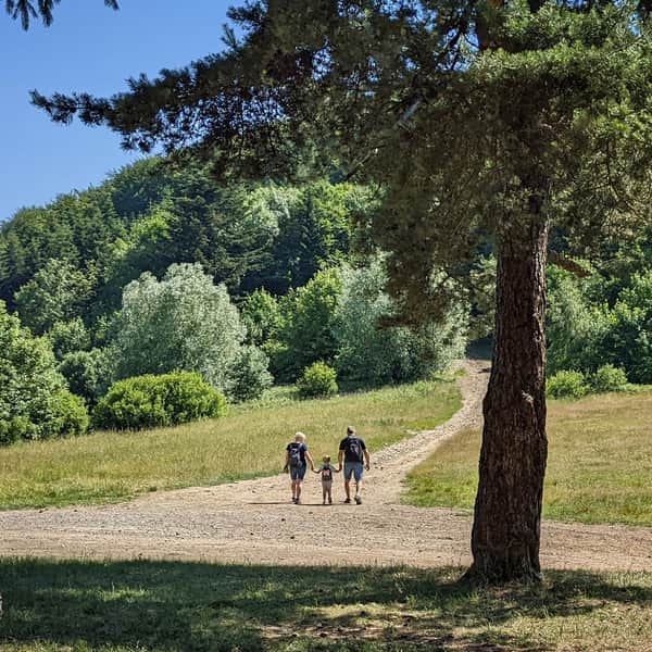
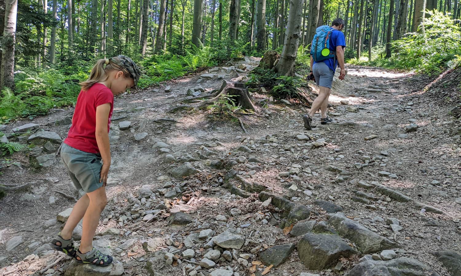
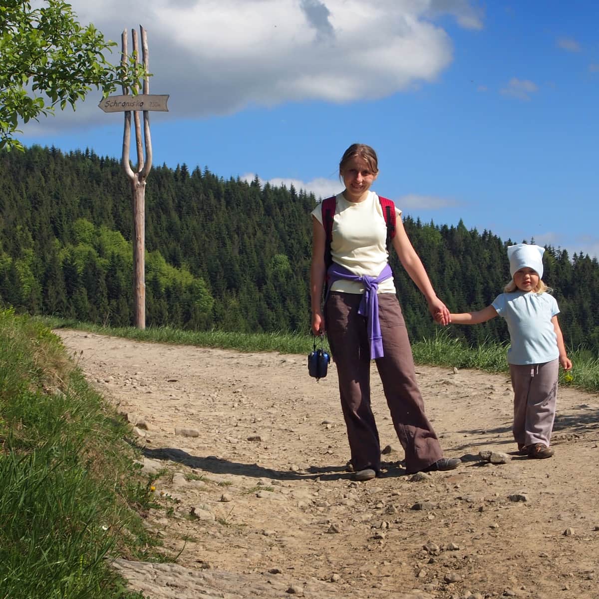
From the PTTK Shelter in Kudłacze, it is worth taking a walk to the astronomical observatory on Lubomir. It is an easy forest walk along the ridge, with only a few uphill sections. There are 3 routes to choose from: the red trail (the most popular), the black trail (more difficult and less frequented), and the green + yellow trail (via Sucha Polana, the longest). You can see the others in the "routes" tab.
Red trail from Kudłacze to Lubomir
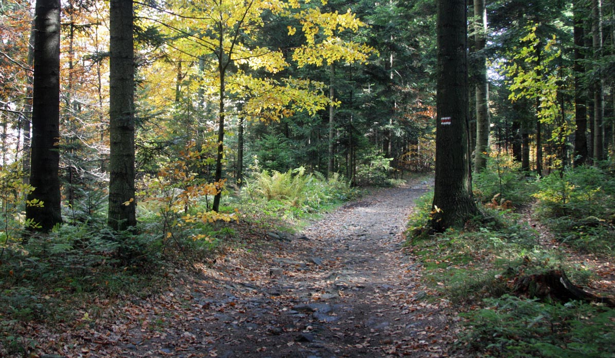
The easiest and most popular trail is the red trail. It leads through the forest, along a wide road:

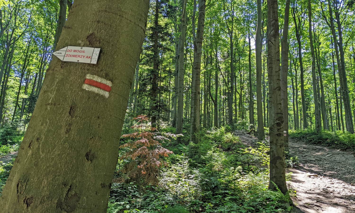
Just before the ascent to the summit of Łysina, there is a path to the left that leads to the grave of partisans (5 minutes from the main road):

Difficulties on the trail?
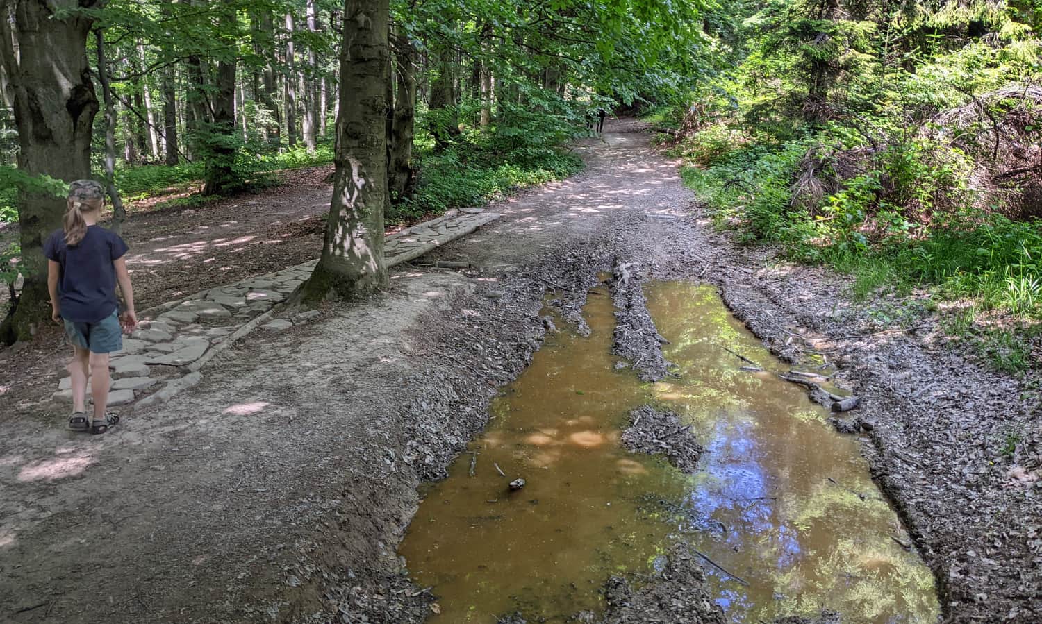
The only steeper section (short) awaits us before reaching the summit of Łysina:
This is what the "difficult section" of the trail looks like in autumn:
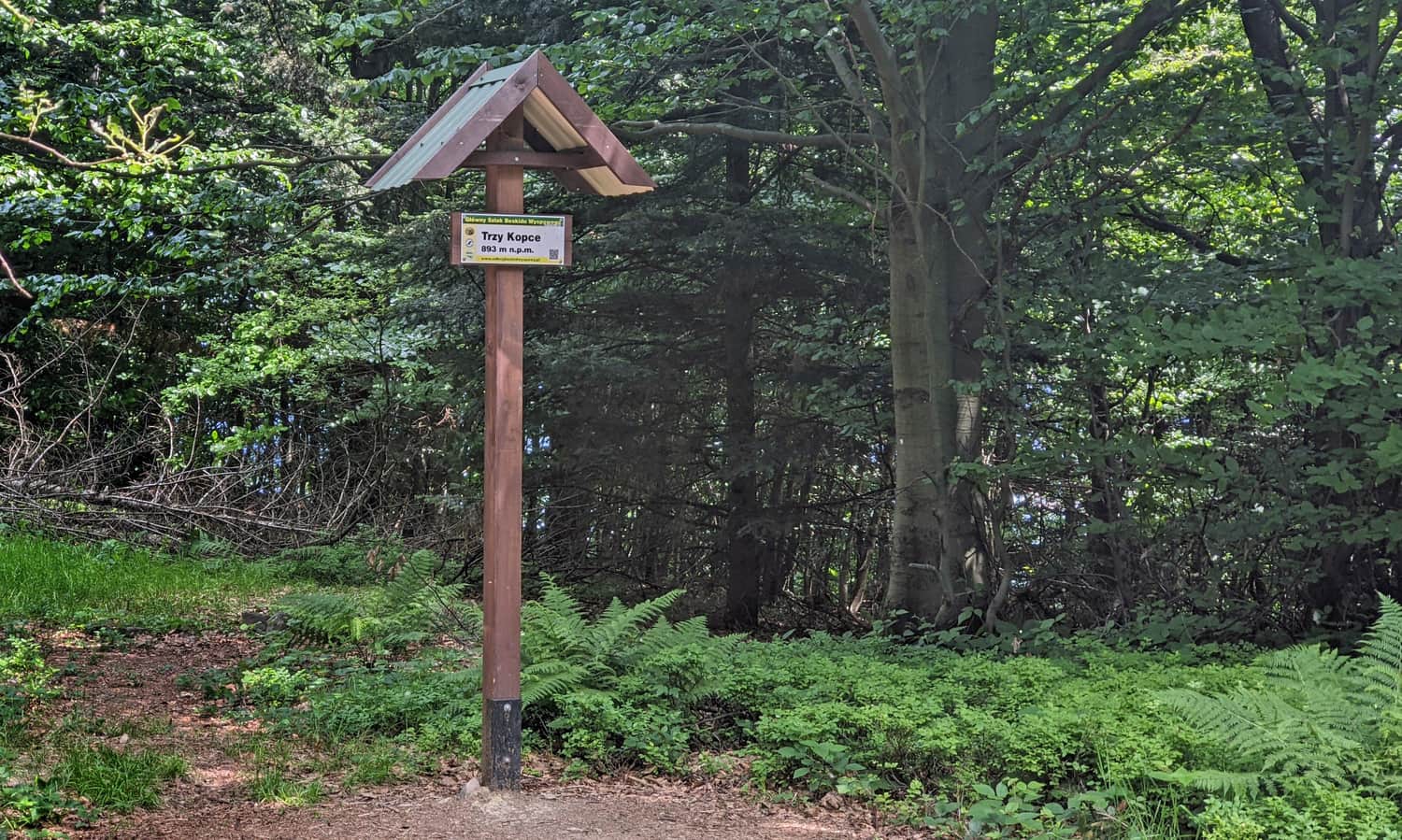
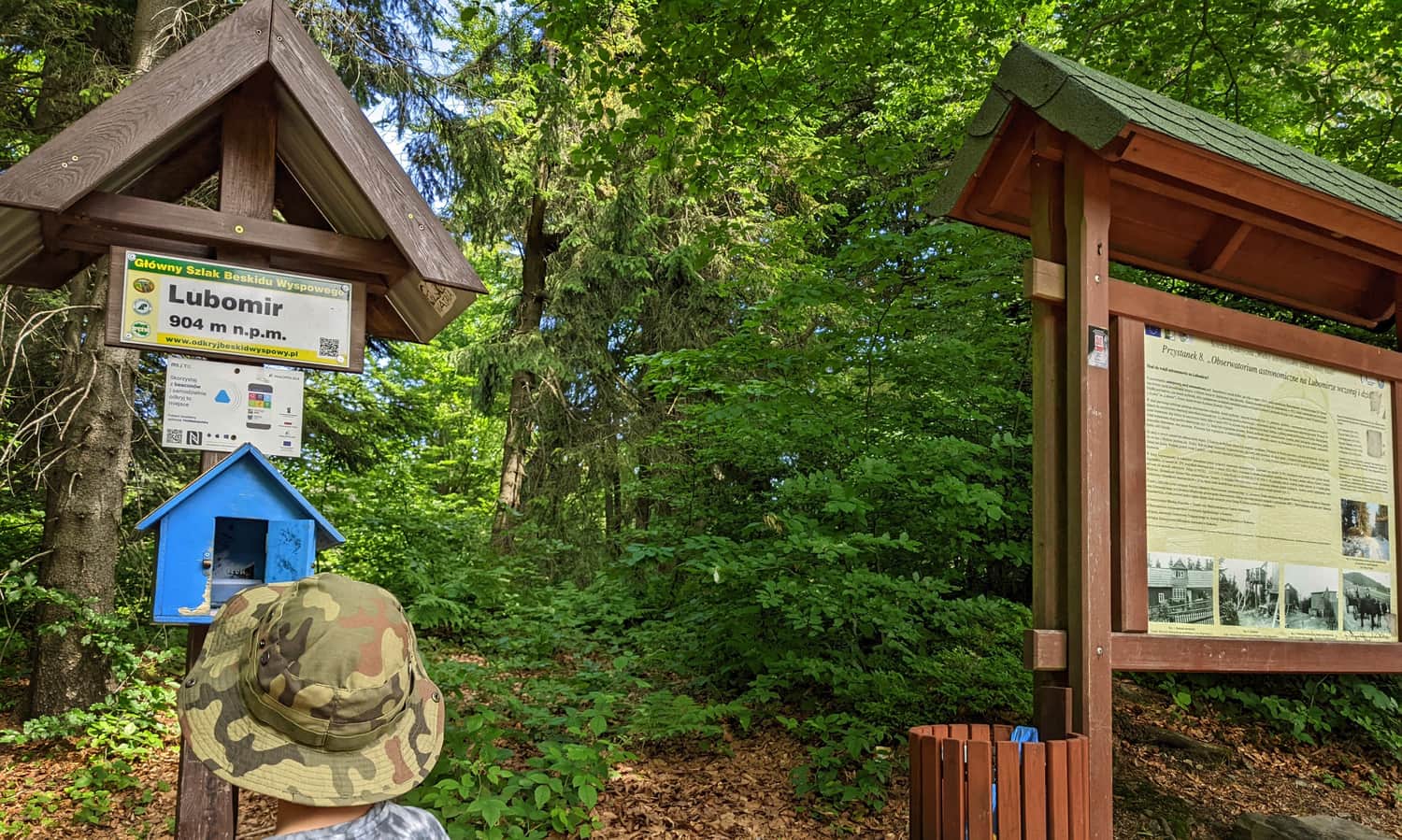
Summit of Łysina on the Kudłacze-Lubomir trail
The forested summit of Łysina is a junction of trails:
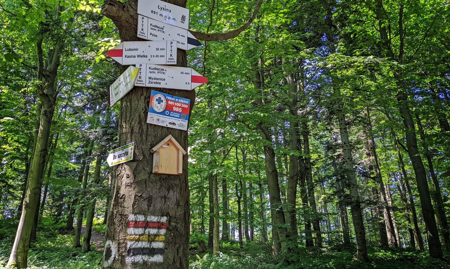
To reach the summit of Łysina, take a short, narrow path (branches off from the red trail near the intersection with the yellow trail). The summit of Łysina, as well as the nearby summit of Trzy Kopce, is marked with a sign:
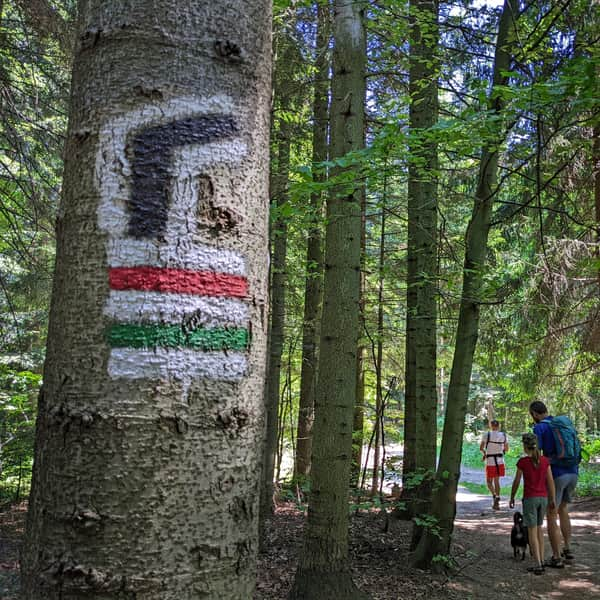
Main Trail of the Wyspowy Beskid
Have you noticed that we are accompanied by the marking GSBW, which stands for Main Trail of the Wyspowy Beskid?
To make the trip more interesting, we suggest coming up with your own expansion of the abbreviation, for example: Górski Szlak Bez Wygód (Mountain Trail Without Comforts), Górskie Sandały Bardzo Wygodne (Very Comfortable Mountain Sandals), Górski Sklep Bez Warzyw (Mountain Shop Without Vegetables), Górskie Stwory Bez Wątroby (Mountain Creatures Without a Liver), Górskim Szlakiem Biegniesz Wolniej (You Run Slower on the Mountain Trail). What ideas do you have?
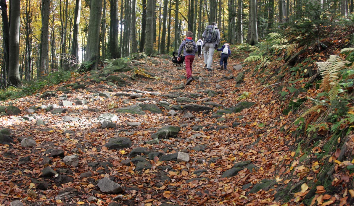
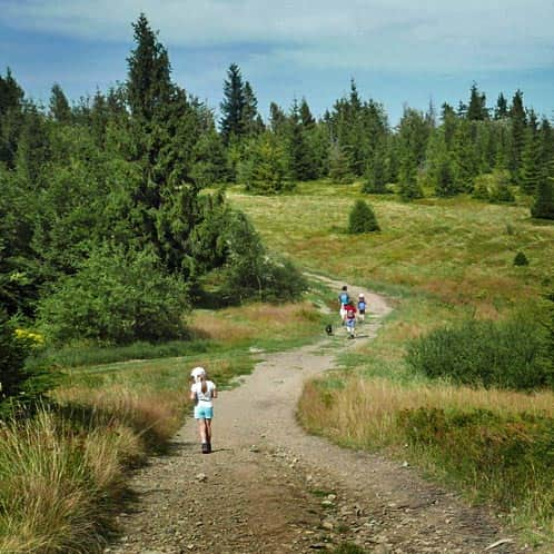
Between Łysina and Lubomir, we again walk along a wide and comfortable road:
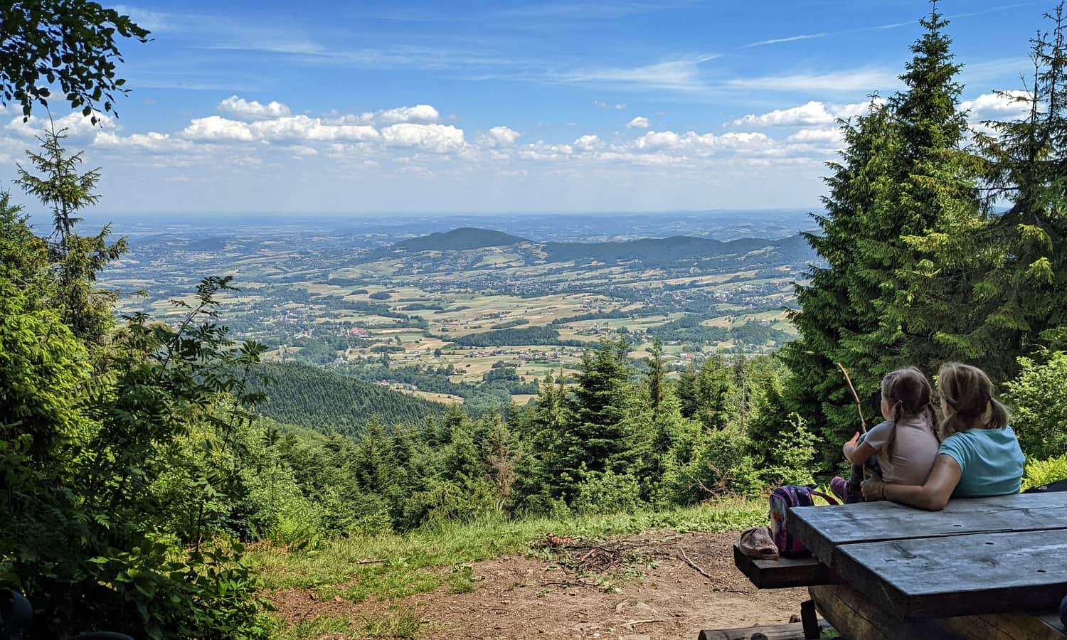
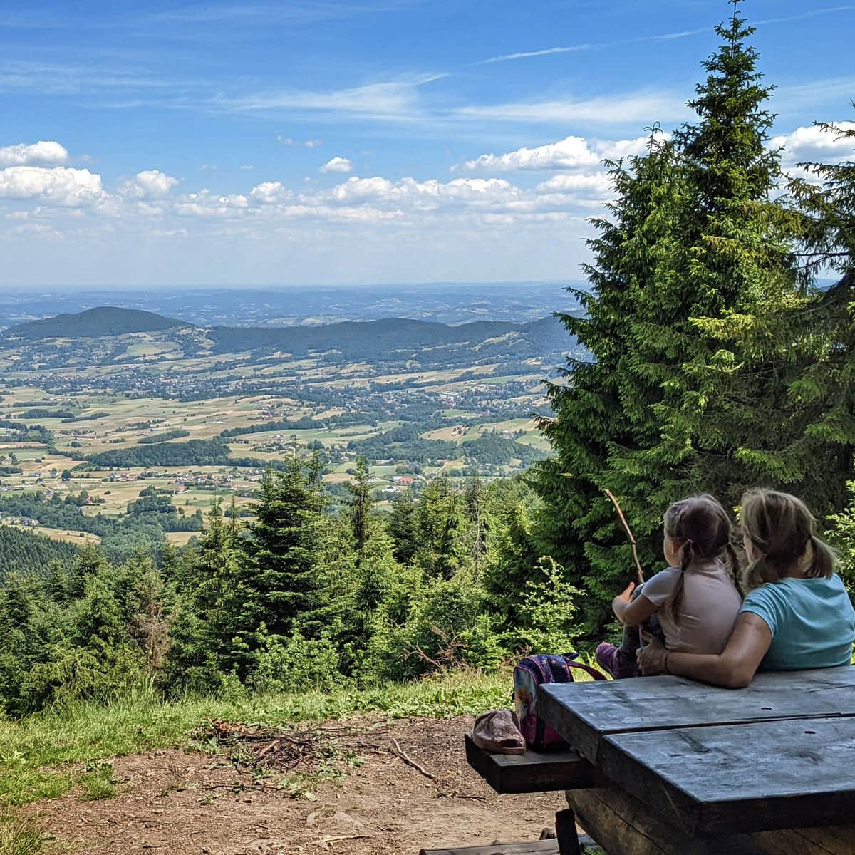
Viewpoint on Lubomir
Just before the summit of Lubomir, there is a beautiful viewpoint to the north:
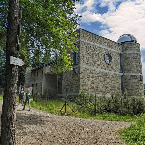
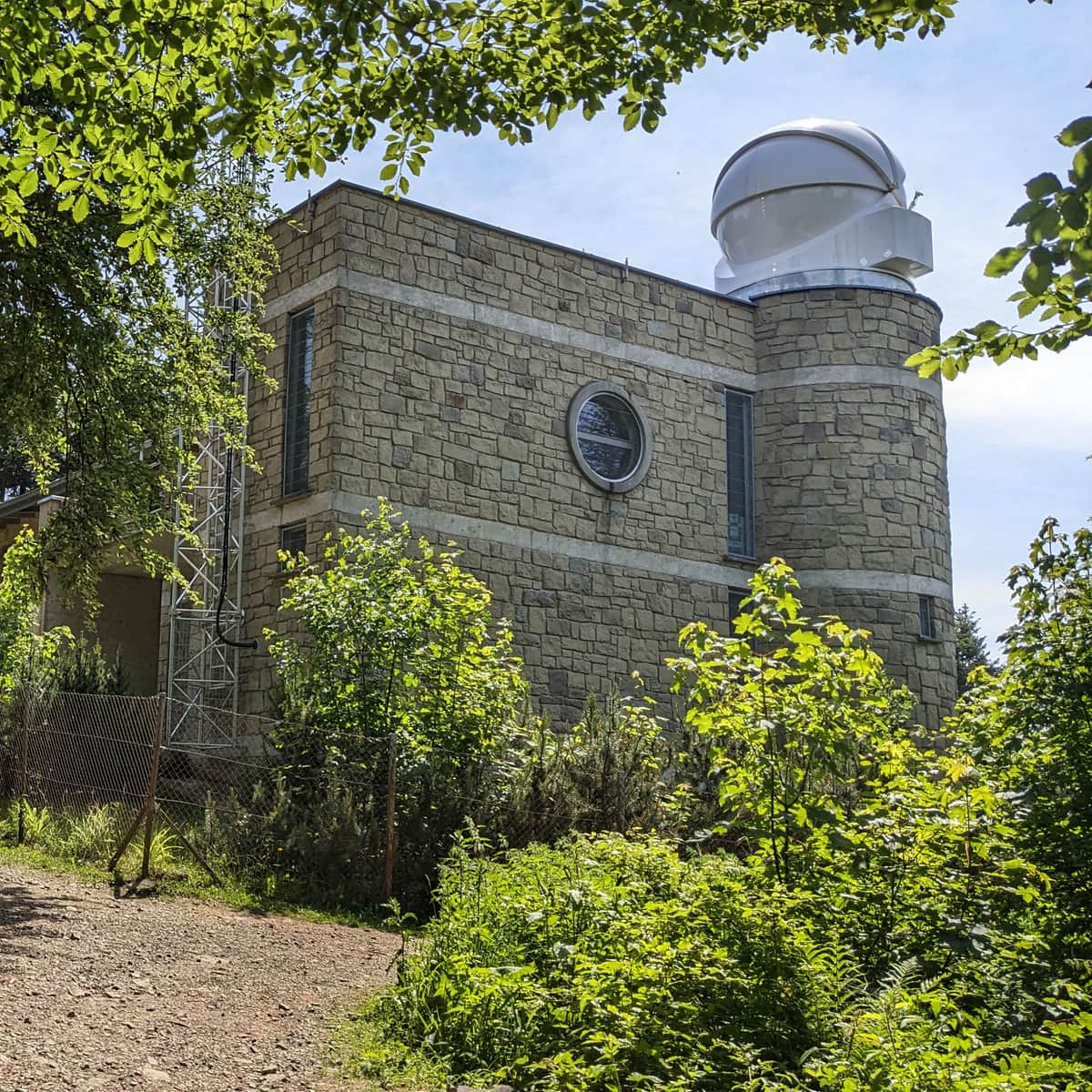
Observatory on the summit of Lubomir
On the summit of Lubomir, we have views, but not of the mountains... but of the sky! There is an active astronomical observatory here:
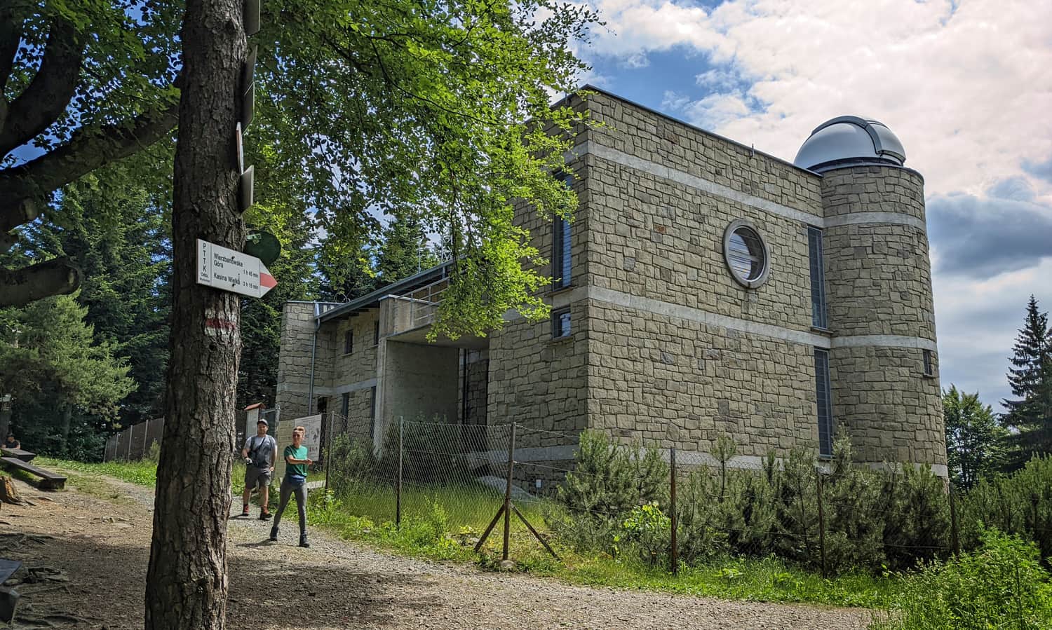
Visiting, including sky shows (weather permitting), takes place every hour and lasts about 45 minutes. Admission is charged. There are only benches at the observatory - no catering points or public toilets. Night shows are also organized at the observatory (calendar, reservations, and details on the observatory's website).
In addition, you will also find a board with information about the history of the observatory and a box with a souvenir stamp:
You can find all the interesting facts about the summit of Lubomir and the observatory, as well as a description of other trails to the summit, here:
Lubomir - all trails, facts, and interesting information
Lubomir, at an elevation of 904 meters above sea level, is the highest peak of the Makowski Beskid, belonging to the Crown of Polish Mountains and the Crown of Polish Beskids. One of the attractions at the summit is the opportunity to visit an active astronomical observatory. What should tourists know about Lubomir and the trails leading to its summit? ...
From Lubomir to Kudłacze
Return from the observatory to Kudłacze using the same red trail or an alternative trail. For example, at Łysina, you can turn left onto the black trail. It also leads to Kudłacze, but in a more interesting way:
Medium
Kudłacze - Łysina. Black Trail

Loop: Kudłacze - Lubomir - Sucha Polana - Kudłacze
Or maybe you can combine several trails into a loop? Our favorite version is:
Kudłacze - red trail - Lubomir - yellow trail - Sucha Polana - green trail - Kudłacze:
Route: PTTK Shelter in Kudłacze - PTTK Shelter in Kudłacze | mapa-turystyczna.pl
PS. This route has been included in our article "TOP 5 Beskid Makowski - the most beautiful trails with viewpoints". Would you like to know the others?
TOP 5 Beskid Makowski: the most beautiful trails with views
Beskid Makowski (also known as Średni or Myślenicki) is a region full of easy and scenic mountain trails, perfect for family hikes. ...
We have also selected it for our ranking "TOP 15: easiest mountain trails for first hikes with children". Get to know them all!
TOP 15: Easiest mountain trails for the first hikes with children in Poland
When our toddler outgrows the carrier and wants to hike on their own, we need to choose a trail that suits their abilities. The satisfaction of conquering their first summit will be invaluable and will remain in the child's memory... and the parents' memory too! ...
and for the article "Mountain trails for family hikes near Krakow":
Mountain trails for family hikes near Krakow
Where to go from Krakow for a short mountain trip? Hundreds of kilometers of hiking trails south of the capital of Małopolska. ...

Publish Date:
Last Updated:
More in the Region Beskid Makowski (Beskid Makowski)