
Lubomir - all trails, facts, and interesting information
Lubomir, at an elevation of 904 meters above sea level, is the highest peak of the Makowski Beskid, belonging to the Crown of Polish Mountains and the Crown of Polish Beskids. One of the attractions here is the opportunity to visit an active astronomical observatory. What should tourists know about Lubomir and the trails leading to its summit?
- Lubomir, 904 m above sea level - attractions and views
- How to get to Lubomir?
- Shortest trail to Lubomir: green trail from Lipnik
- Easy and short route to Lubomir - red trail from Przełęcz Jaworzyce
- Easiest trail to Lubomir: red trail from Kudłacze
- Black trail Kudłacze - Łysina - Lubomir
- From Kudłacze via Sucha Polana to Łysina and Lubomir
- To Lubomir from Poręba: via Działek and Kudłacze or via Kamiennik and Sucha Polana
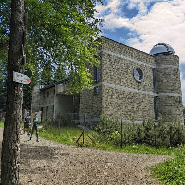
Lubomir, 904 m above sea level - attractions and views
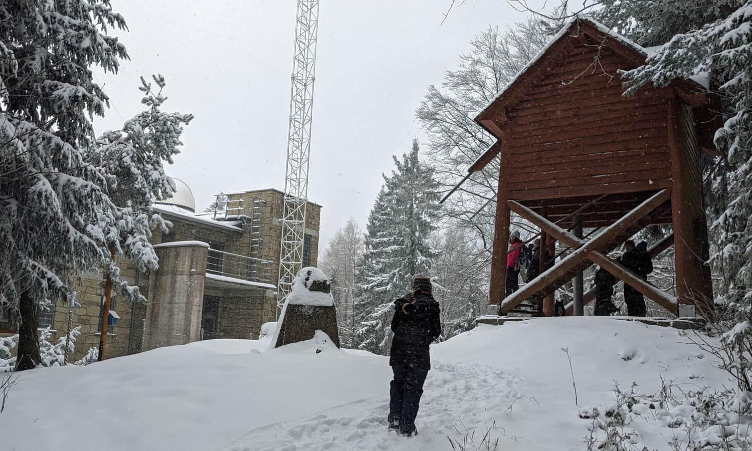
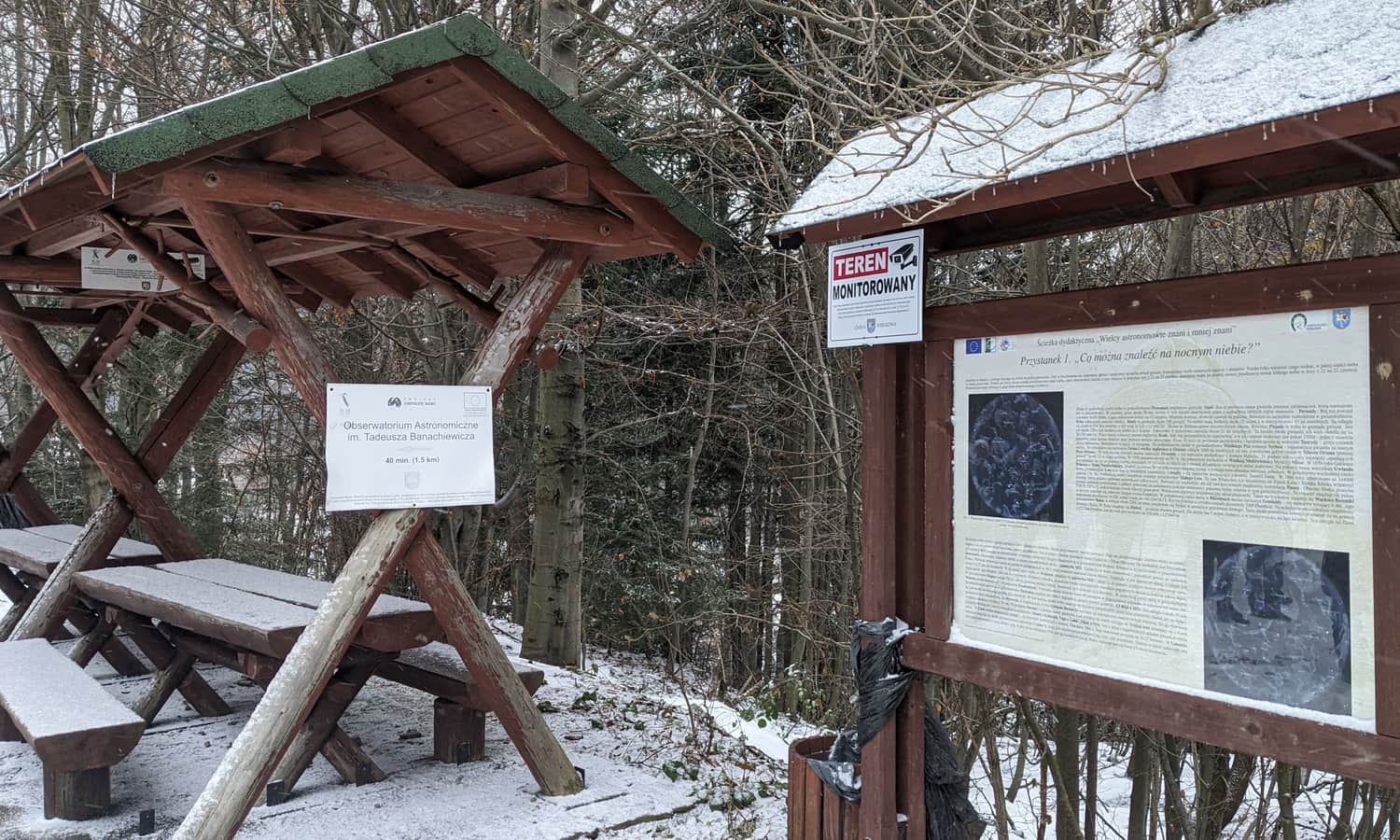
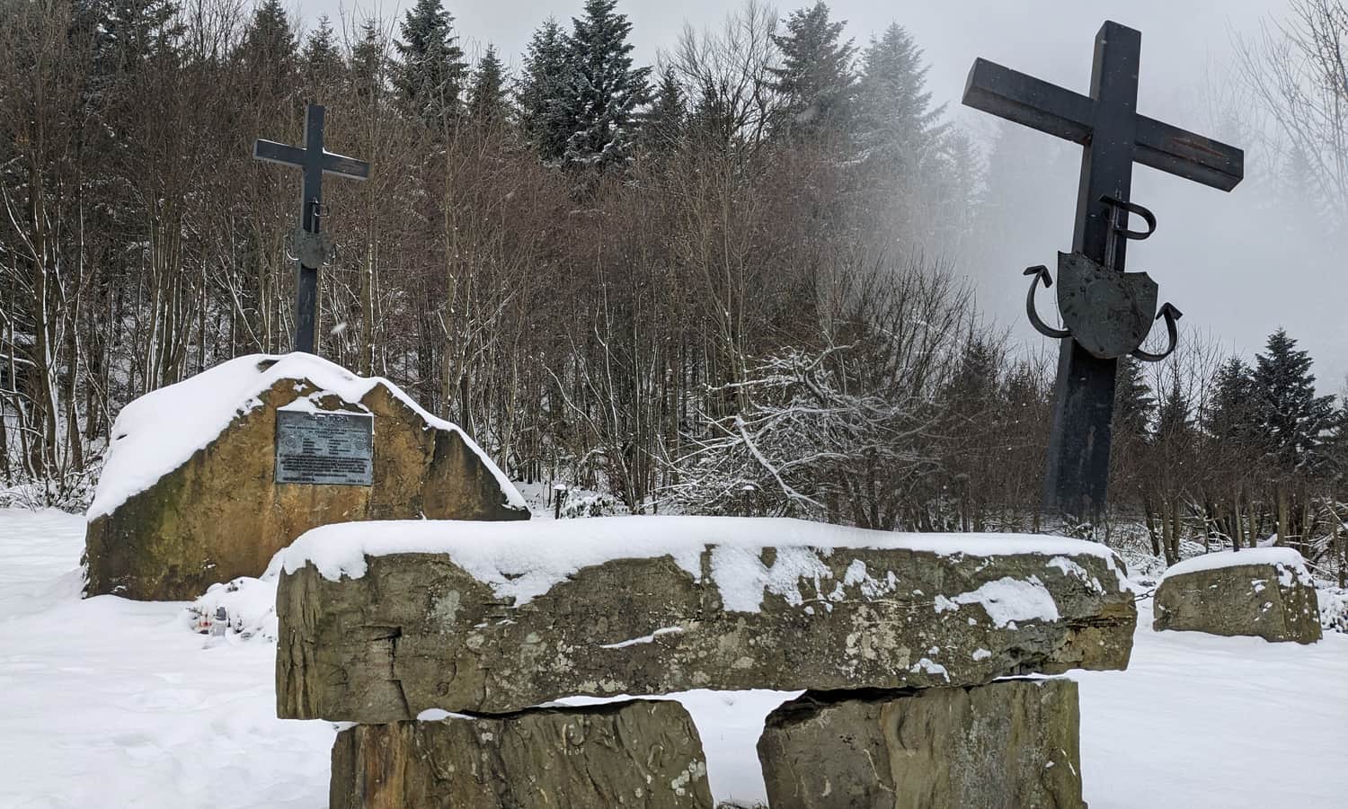
At the top, there are a few benches, a stamp box (useful if you collect points for the PTTK GOT badges), and information boards (history of the observatory, map of the trails in the area). A larger clearing with benches, tables, and a place for a bonfire can be found behind the observatory, along the red and green trails towards Węglówka.
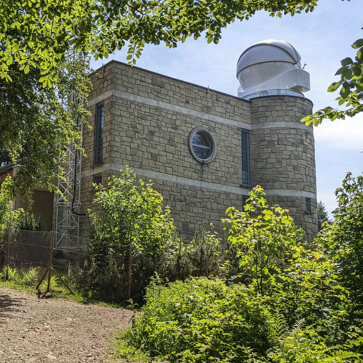
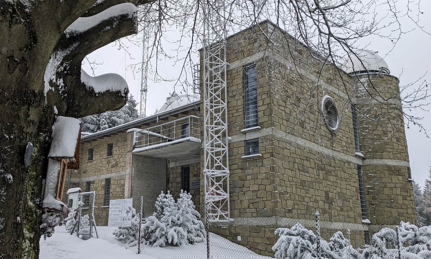
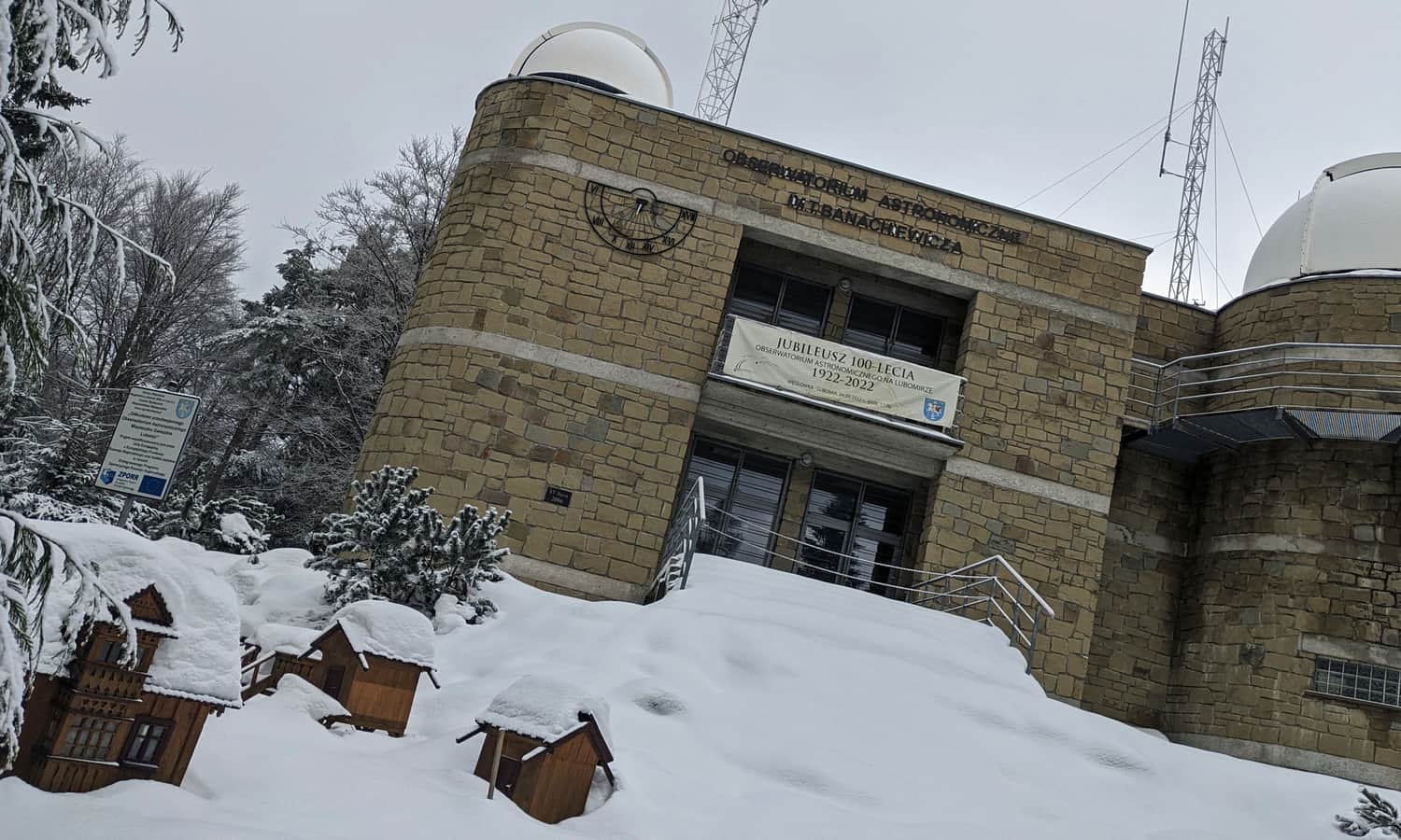
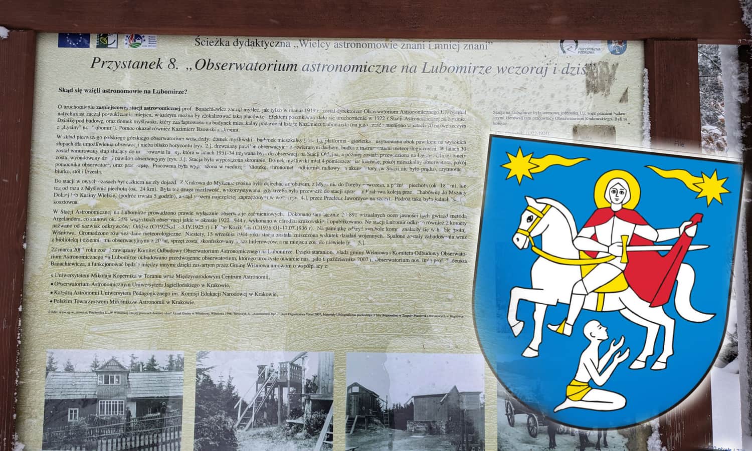
Undoubtedly, the biggest attraction (especially in terms of size!) on the highest peak of the Makowski Beskid is the astronomical observatory.
Visiting the Astronomical Observatory on Lubomir
The T. Banachiewicz Astronomical Observatory is an active scientific station, one of the few that allows visitors on its premises. Visiting is paid and takes place at specific hours and on specific days. In addition, special night shows are occasionally organized. It is worth checking the current information on the observatory's website.
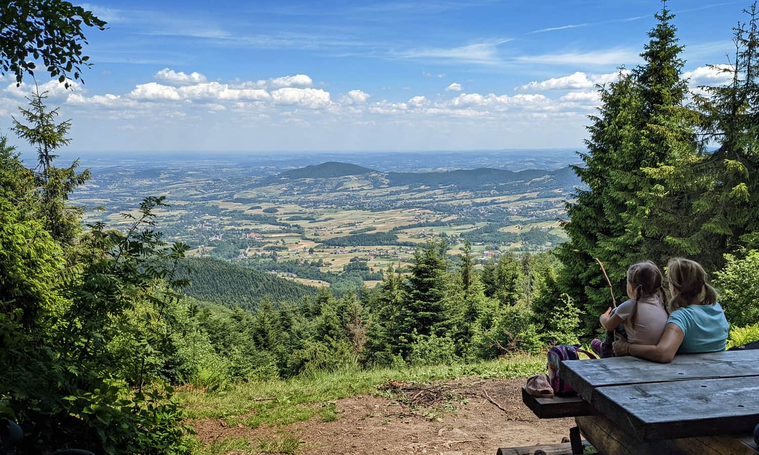
Lubomir - viewpoint
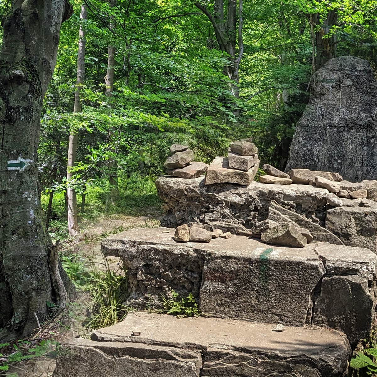
The summit of Lubomir is forested. To enjoy the views, we need to descend about 500 meters along the red trail towards Kudłacze. There, we will find a scenic viewpoint facing north.
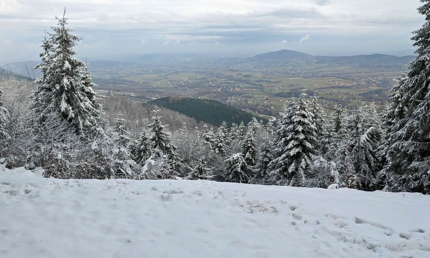
...and the same place in summer:
How to get to Lubomir?
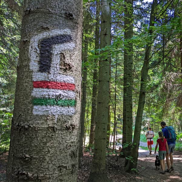
There are several forest paths and roads leading to the summit of Lubomir, and two trails intersect here: the red trail (Myślenice > Kudłacze > Przełęcz Jaworzyce > Kasina Wielka) and the green trail (Węglówka > Wiśniowa). Thanks to them, we can choose to take a short, quick walk or plan a full-day hike around the area.
Shortest trail to Lubomir: green trail from Lipnik
The distance to be covered on the green trail from the parking lot in Lipnik Majdówka to Lubomir is less than 2 km. However, there will be some climbing involved, with an elevation difference of about 275 m. The ascent to the summit should take about 1 hour (30 minutes to descend).
Medium
Green Trail from Lipnik and Kobielnik to Lubomir

Easy and short route to Lubomir - red trail from Przełęcz Jaworzyce
From the parking lot near Przełęcz Jaworzyce, it will also take about 1 hour to reach Lubomir. The distance to be covered is 2.2 km with an elevation gain of about 280 m. Importantly (especially in bad weather), the first half of the route is on an asphalt road to Gościńiec Pod Lubomirem (restaurant, accommodation). Only the last 1.2 km of the trail is a forest road.
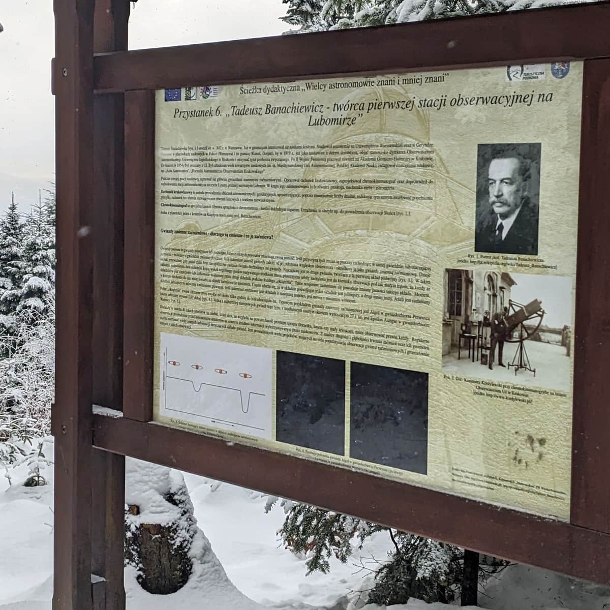
An additional attraction of this trail is the information boards of the educational path "Great Astronomers Known and Lesser Known," with the first one located at the parking lot on the pass, and the last two, numbers 7 and 8, at the observatory on the summit.
Easy
To Lubomir from Jaworzyce Pass

Easiest trail to Lubomir: red trail from Kudłacze
One of the easiest ways to reach the highest peak of the Makowski Beskid is the red trail starting from the PTTK Kudłacze shelter (you can practically drive to the shelter by car, parking fee required). A wide and comfortable forest path will lead us almost flatly to the summit in about 1.5 hours. The one-way distance to be covered is about 3.5 km with an elevation gain of 230 m.
Easy
From Kudłacze to Lubomir

Black trail Kudłacze - Łysina - Lubomir
If you don't want to take the easy red trail from Kudłacze, choose the black signs! This is a rarely frequented trail, more "wild" and slightly more demanding. However, it is quiet and peaceful. We will reach Łysina in about 1 hour and then Lubomir in about 30 minutes. In total, we have to cover less than 4 km with an elevation gain of 270 m.
Medium
Kudłacze - Łysina. Black Trail

From Kudłacze via Sucha Polana to Łysina and Lubomir
The third route from Kudłacze to Lubomir leads through the picturesque Sucha Polana. First, we descend to the meadow on the green trail, and then we climb steeply along the yellow trail to Łysina. From there, red signs will lead us to Lubomir. The entire route is about 4.5 km with an elevation gain of 285 m.
It is worth combining this route in a loop with the above-described red or black trail, which will result in a total distance of 8 km, taking about 2.5 hours, with an elevation gain of 330 m.
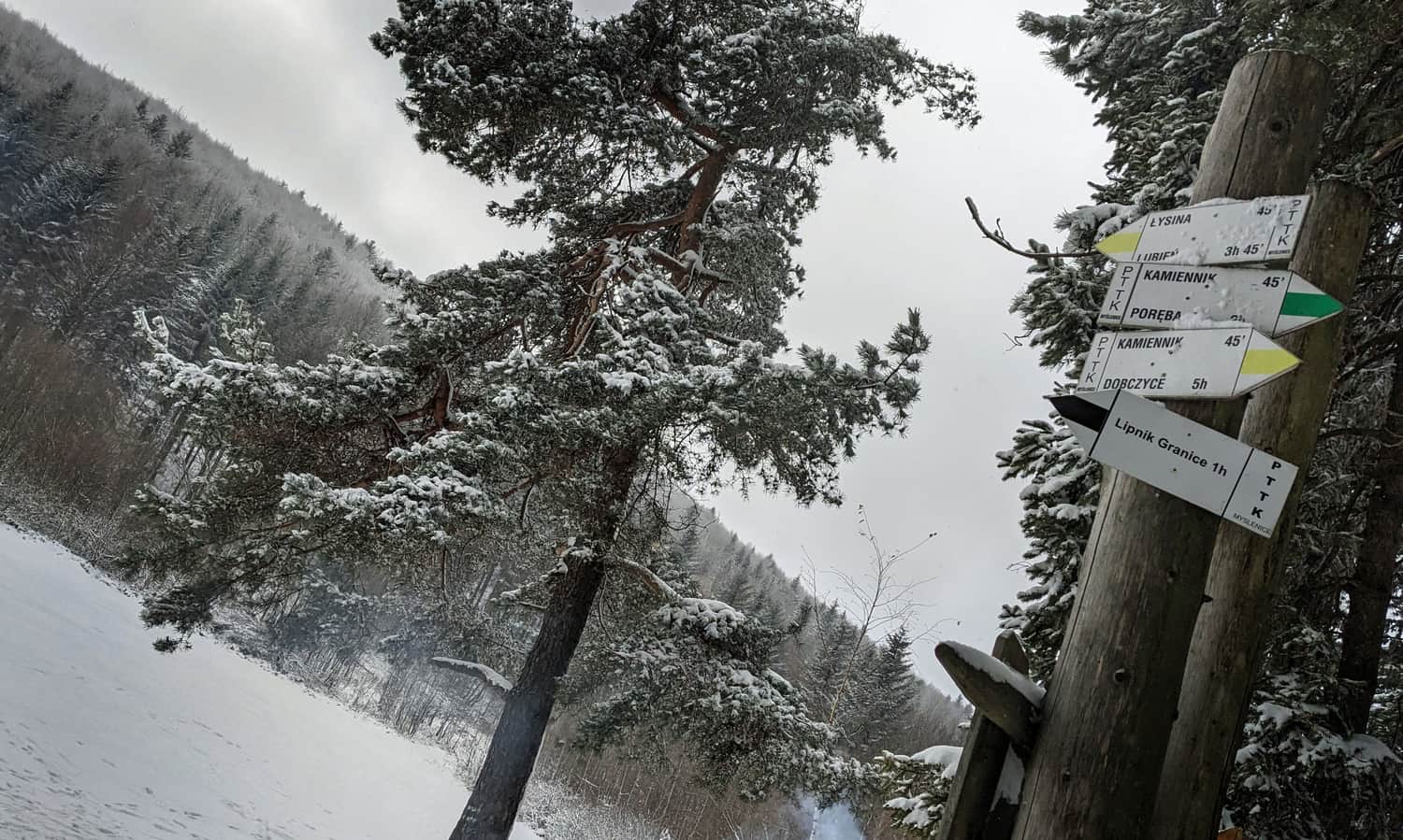
To Lubomir from Poręba: via Działek and Kudłacze or via Kamiennik and Sucha Polana
Another route to the summit of Lubomir is a trip from Poręba. Starting from this village (parking near the church), we have two options: a longer but easier route via Działek to Kudłacze and from there to Lubomir (8 km, 566 m elevation gain, about 3 hours one way) or a shorter but with steep sections route via Kamiennik, Sucha Polana, and Łysina (7.5 km, 640 m elevation gain, about 3 hours one way). Both routes can be combined in a loop, resulting in a total distance of 15 km, taking about 5 hours, with an elevation gain of 720 m.

On the summit of Lubomir, until the 1990s, there was a peculiar memento from those times: a metal badge with an anchor, the emblem of the Fighting Poland. It was placed here by Lieutenant Ryszard Mazur, pseudonym Rymsza, as a thank you and a memento of the rescue of his partisan unit from a German ambush on September 15, 1944. After Mr. Ryszard's death, the emblem was torn down and destroyed. It was stored in the Kudłacze shelter for some time and can now be seen on the field altar at Sucha Polana.
Według najnowszego podziału z 2018 r. Pasmo Lubomira i Łysiny zaliczane jest do Beskidu Makowskiego (zwanego też Średnim). Do tego czasu niektórzy geografowie (np. prof. Jerzy Kondracki) włączali Lubomir do sąsiedniego Beskidu Wyspowego. Być może stąd też lokalni działacze turystyczni nadal umieszczają tu tabliczki akcji "Odkryj Beskid Wyspowy" i oznaczenia GSBW: Głównego Szlaku Beskidu Wyspowego.

Publish Date:
Last Updated: