Easiest route from Myślenice to the Kudłacze shelter
Nearby: Myślenice| Distance | 9.6km |
|---|---|
| Time | 4h 4min |
| Ascents | 670m |
| Descents | 232m |
You can reach the Kudłacze shelter from Myślenice via three PTTK trails: red, blue, and green. All of them have narrow and steep forest sections. The following route is a comfortable, wide, walking path - a combination of the excellent educational trail called "Become a Forest Ranger's Assistant" and the blue and red trails. It may be difficult to find this route on PTTK trail maps because these trails do not connect directly. However, there is a convenient road paved with concrete slabs between them. In summary, the entire route from Myślenice to the Kudłacze shelter can be traversed on comfortable, wide, forested, and paved paths. This route is highly recommended by us for tourists from outside Poland!
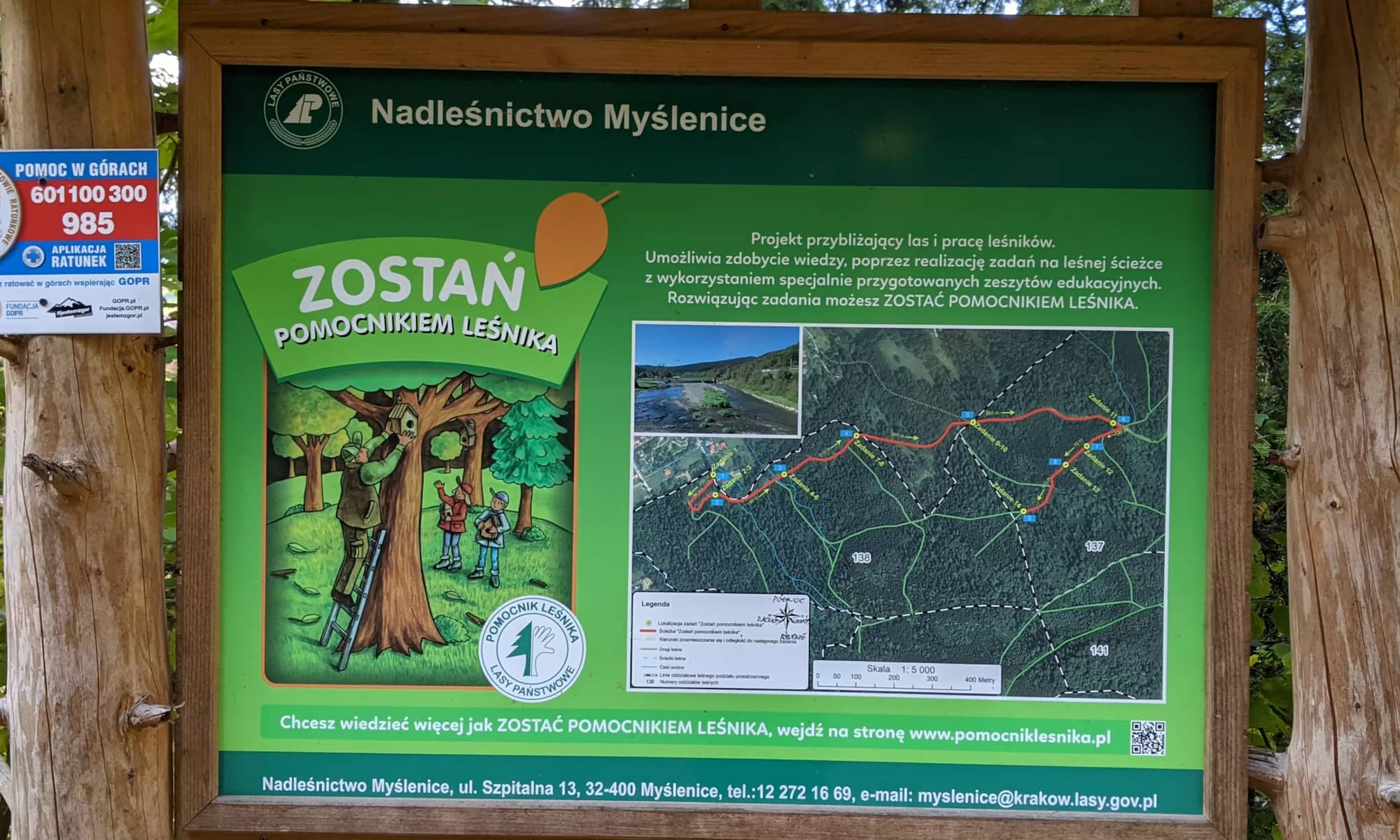
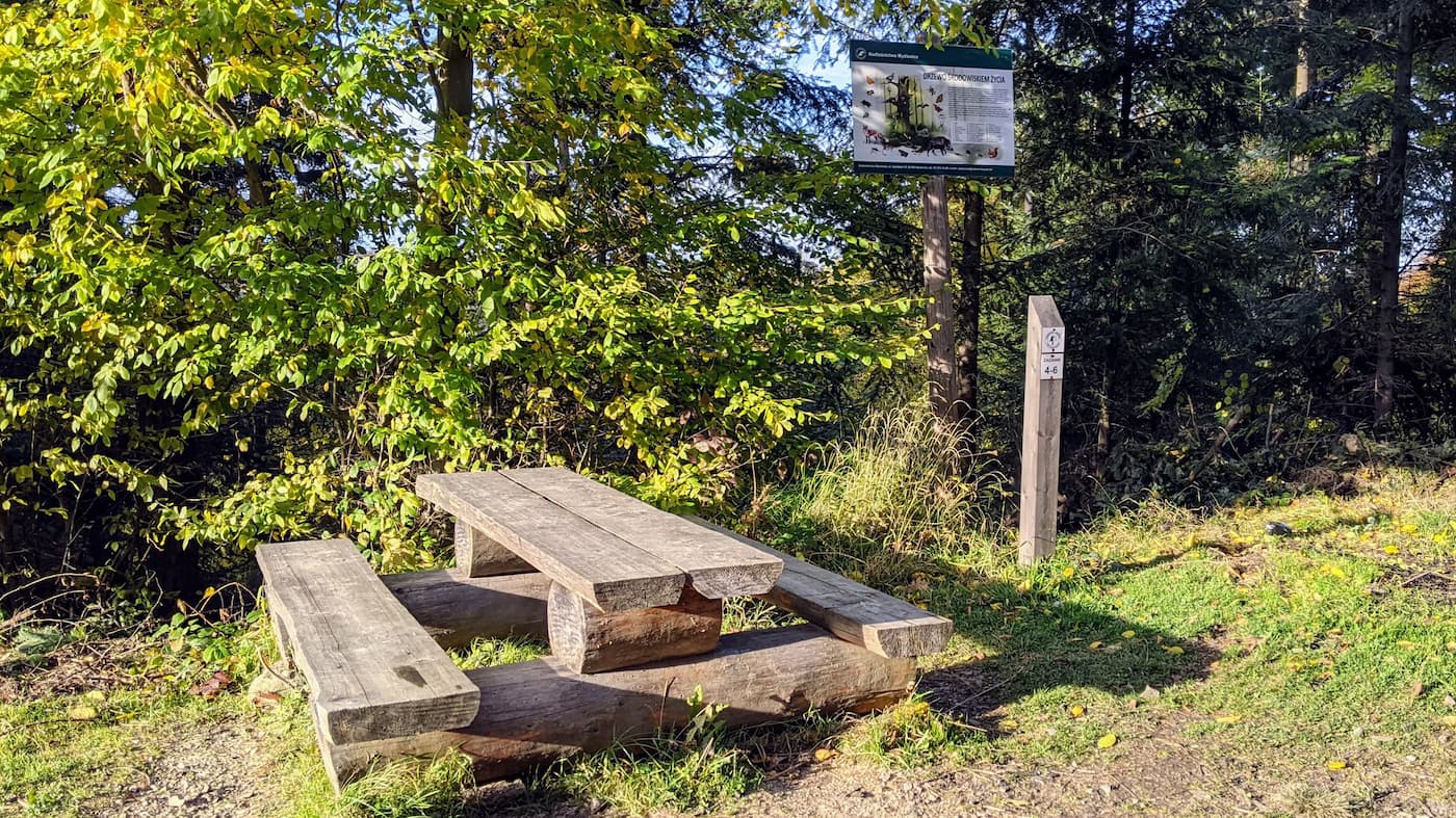
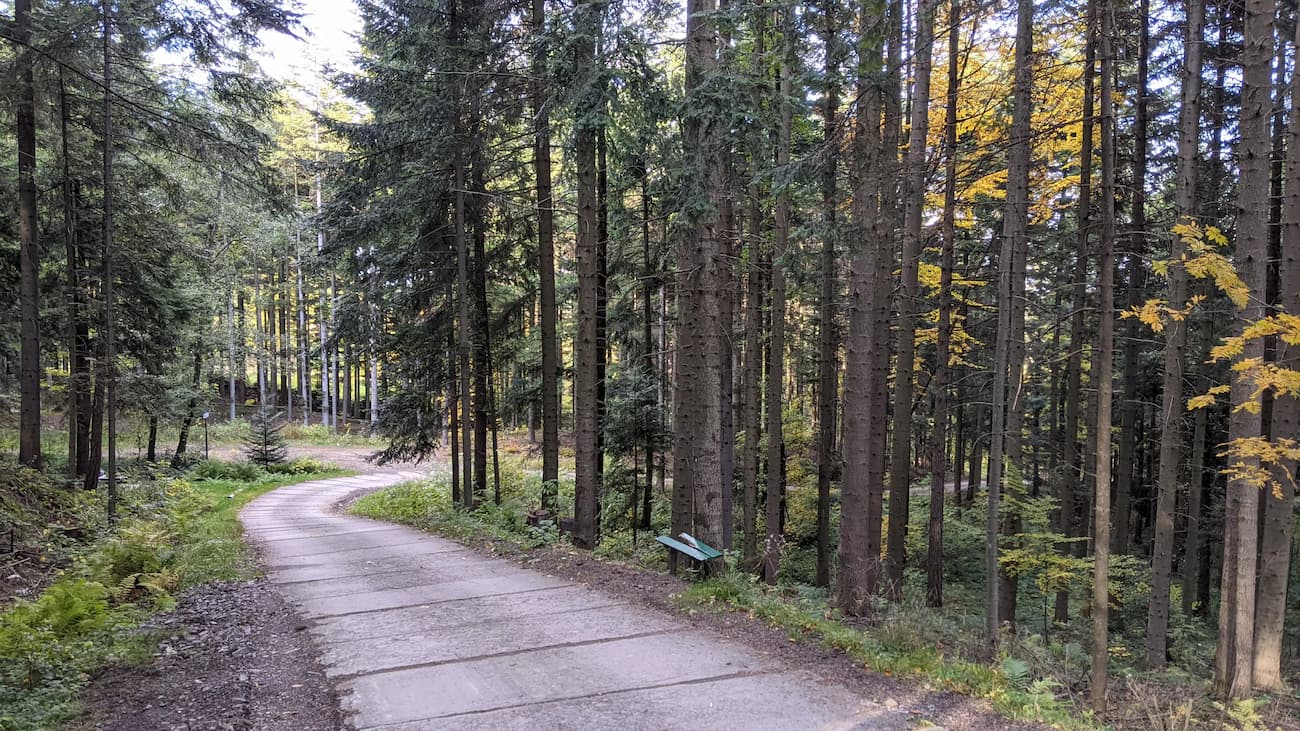
Starting point - "Forest Ranger's Assistant" educational trail
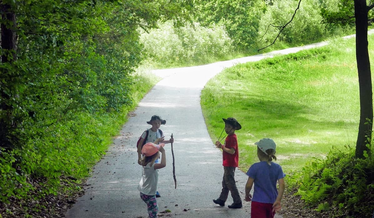
We start the route at Zacisze Street, which branches off from the roundabout near Zarabie in Myślenice - we follow it until the end, where we come across a wide forest path. This is the "Forest Ranger's Assistant" educational trail. Here, you will find numerous benches for family rest. If you plan your route in advance, you can pick up booklets with tasks from the forest district and solve them during the walk. However, keep in mind that the route to the shelter is quite long, so longer breaks at the beginning may not be a good idea, especially for children.
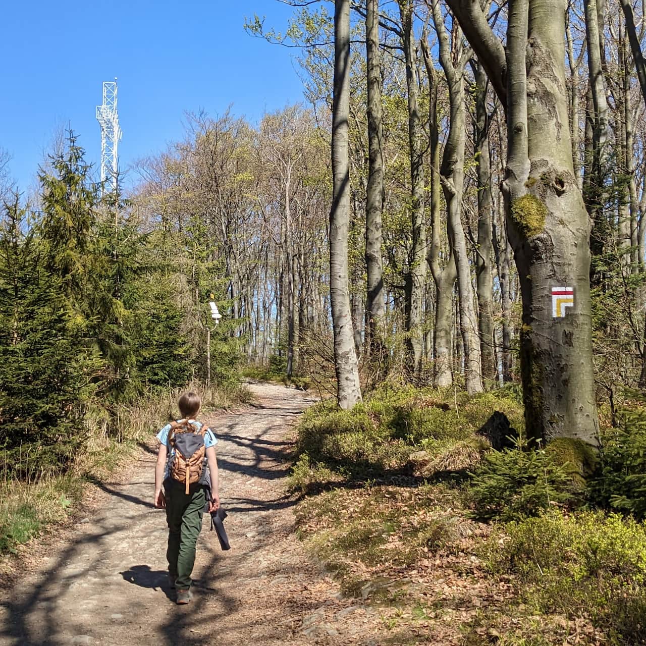
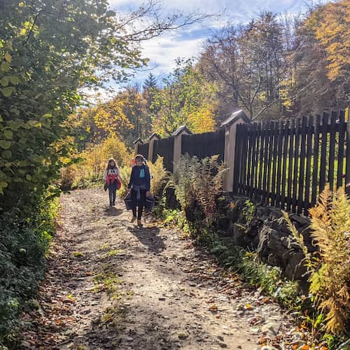
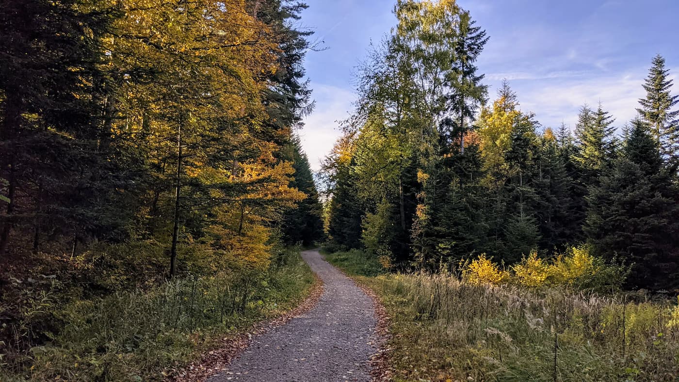
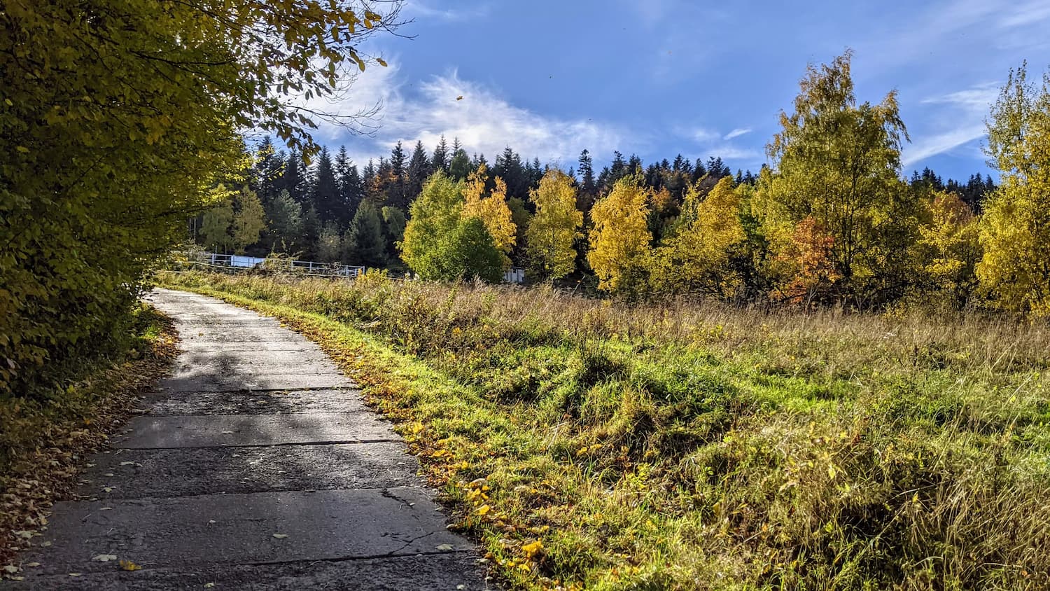
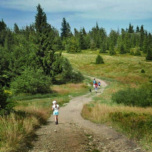
Blue trail
Following the "Become a Forest Ranger's Assistant" educational trail, we reach the blue trail, which we continue on - it becomes quite scenic in some places! It is important not to miss the moment when the blue trail turns towards Trzemeśnia - we go in the opposite direction, towards the Styrek hamlet!
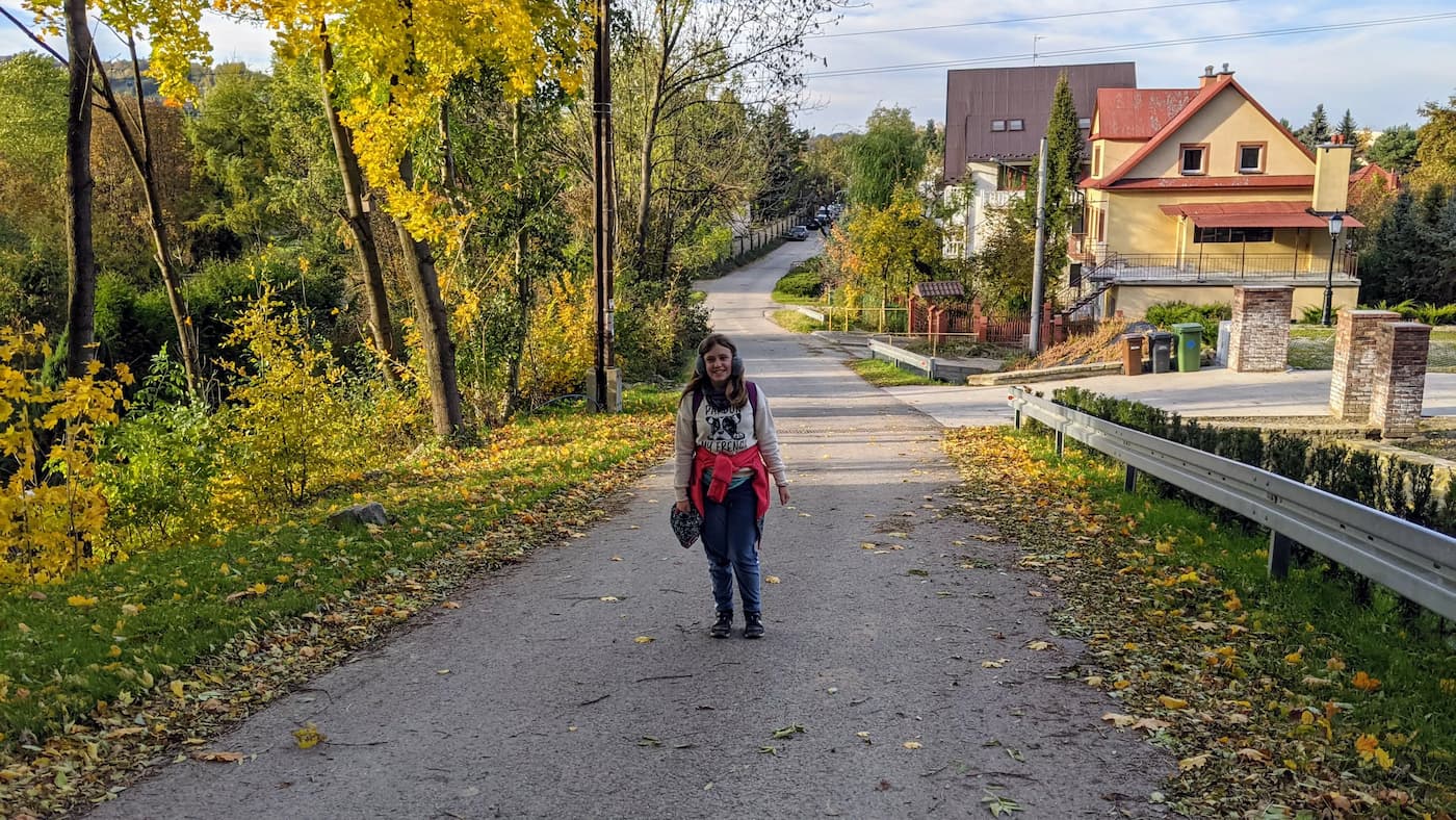
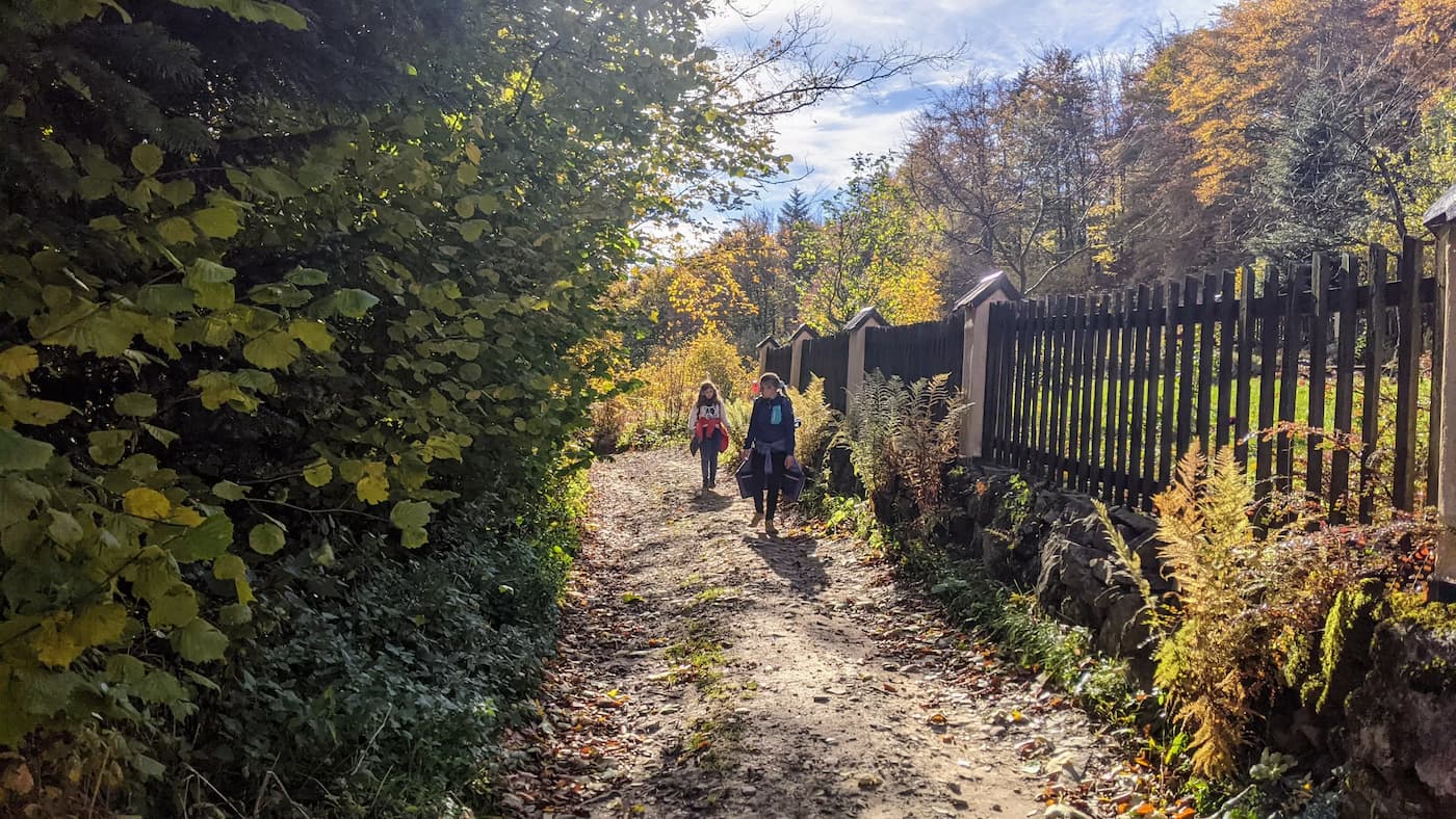
Between the blue and red trails
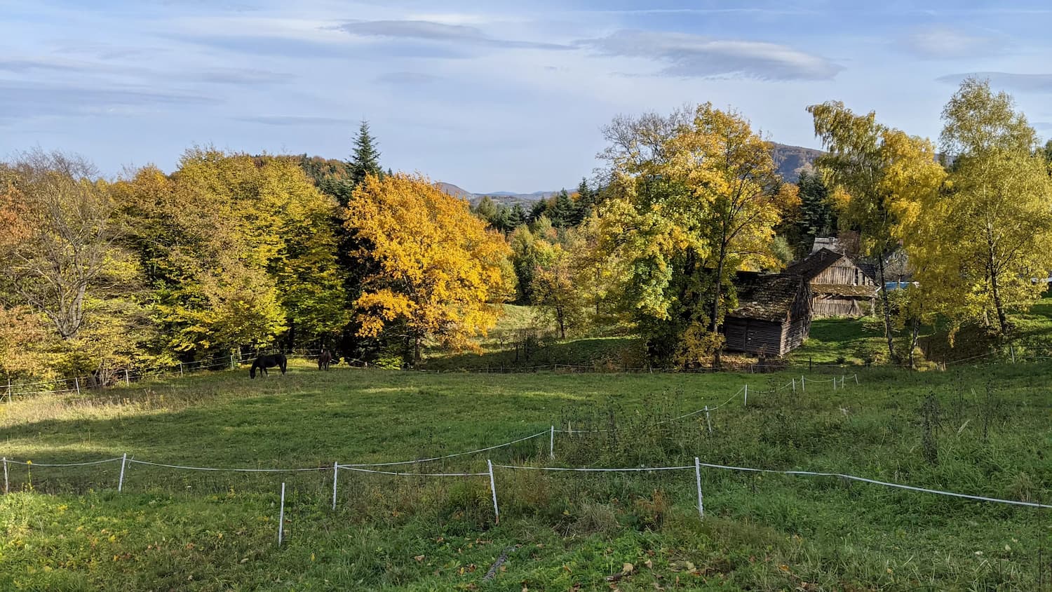
This is the most problematic moment on the route, as we deviate from the marked blue trail and have to switch to the red trail by passing through the Styrek hamlet. However, this section is very distinctive, wide, and built with concrete slabs. Here, we gain elevation, and the path is quite steep but comfortable!
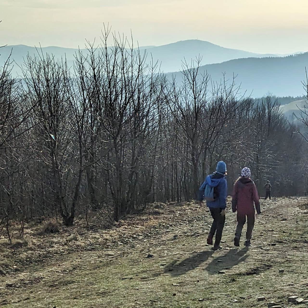
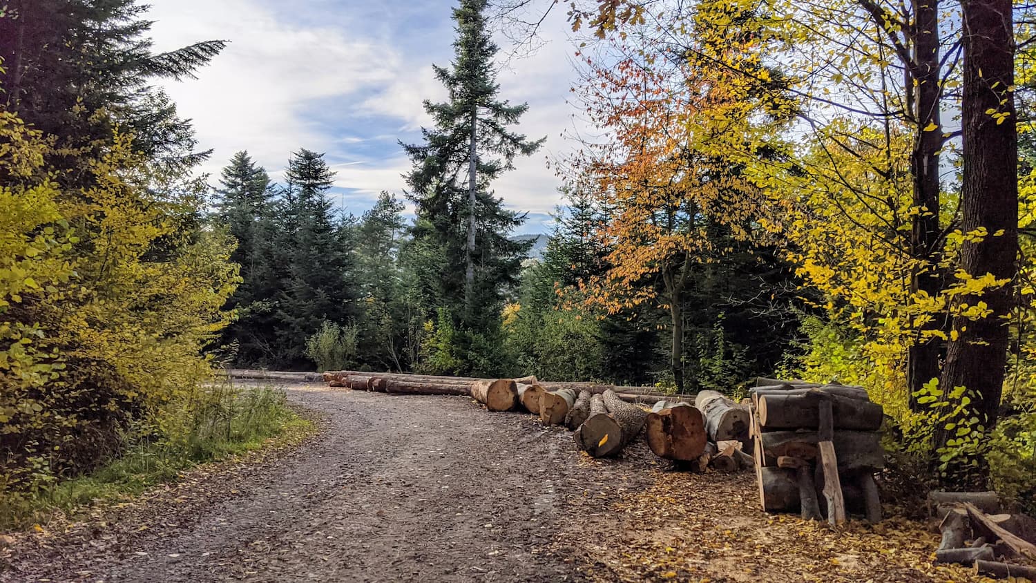
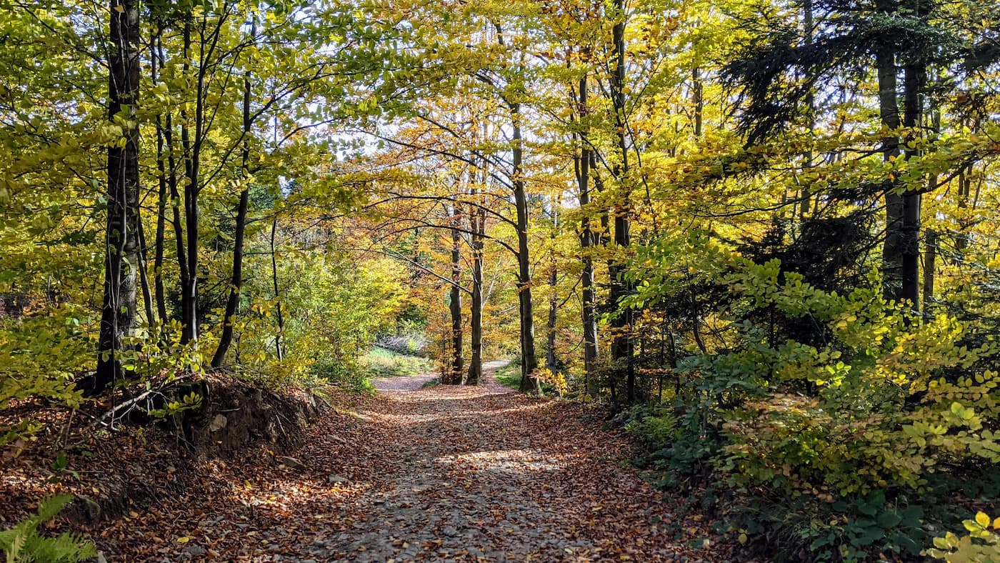
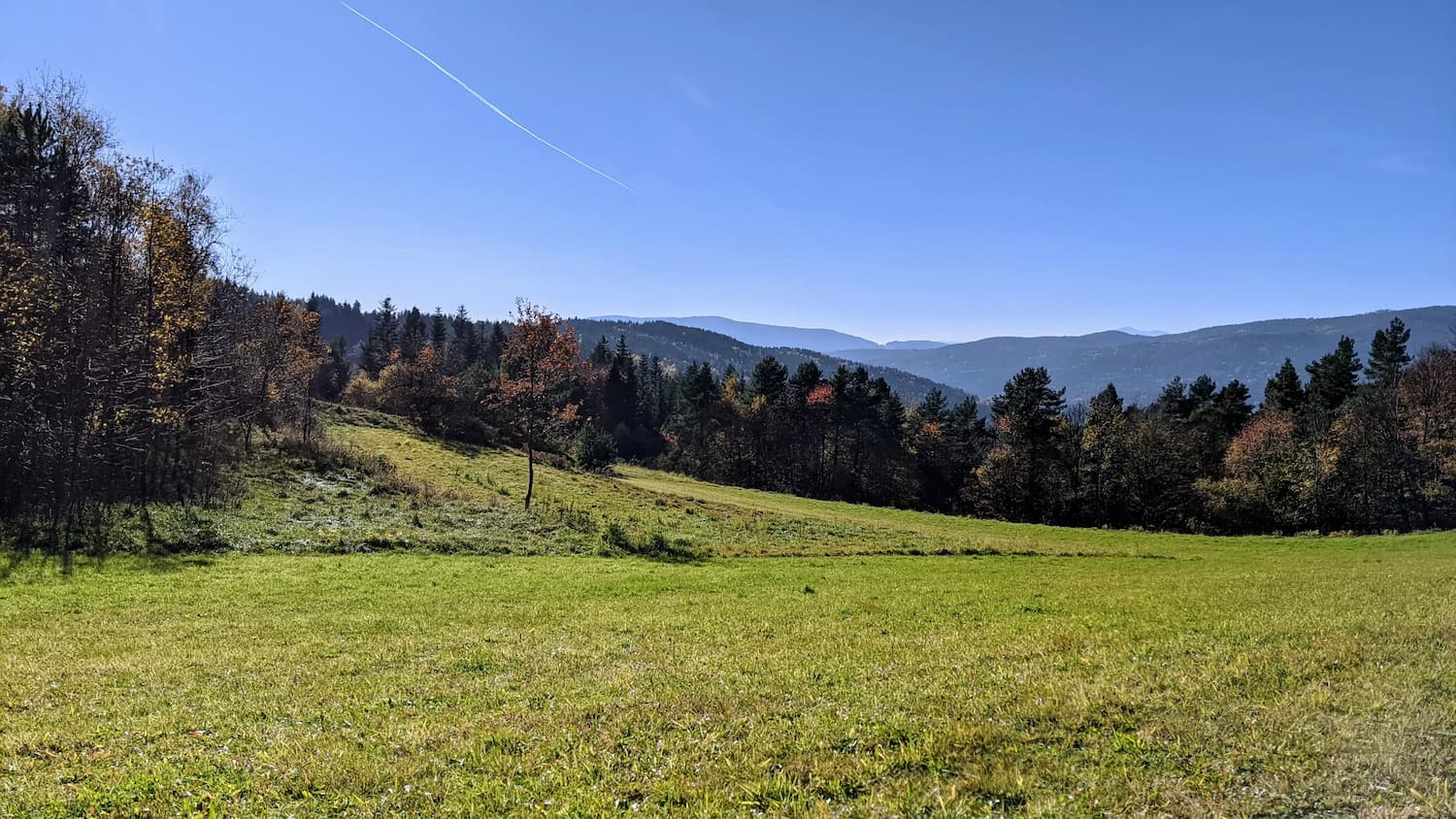
Red trail to the Kudłacze shelter
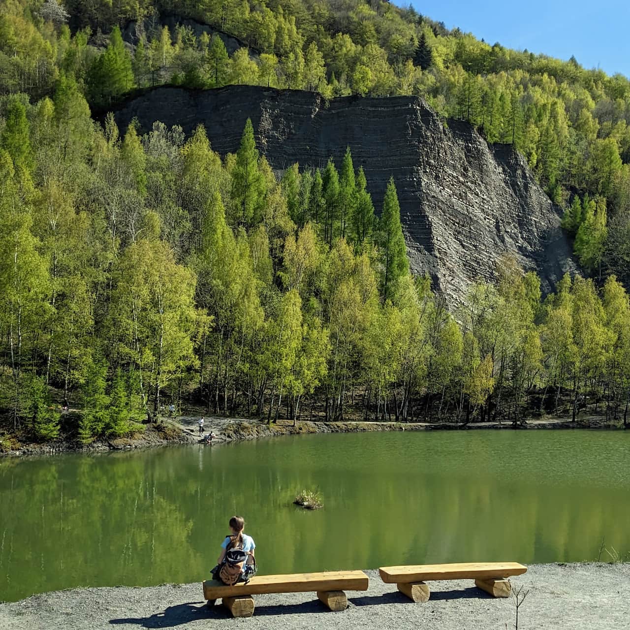
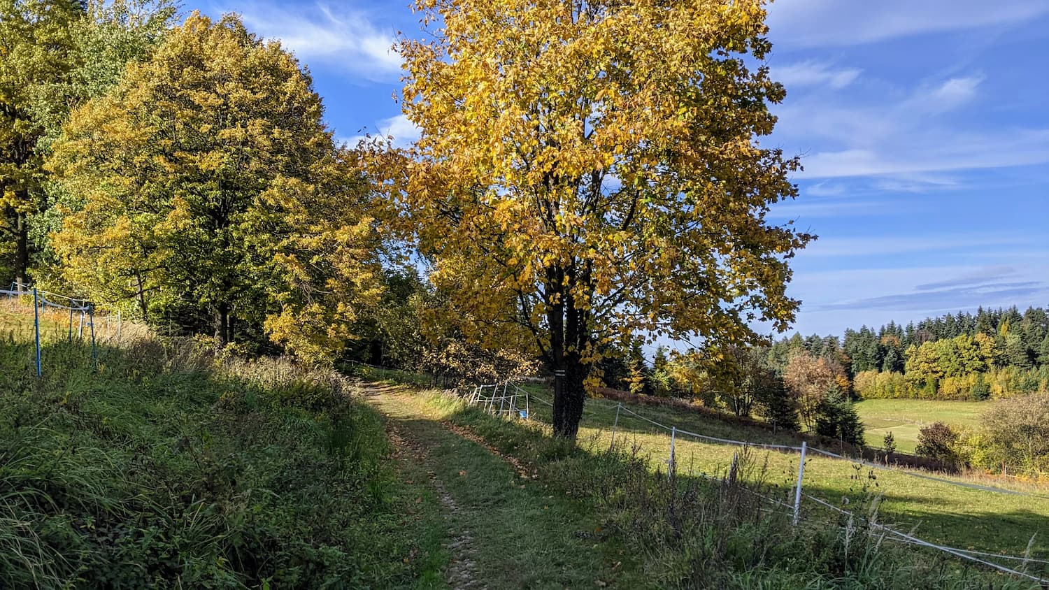
Next, we enter the marked red trail, which will lead us all the way to the shelter - partly along a less frequented asphalt road. Initially, we reach the peak of Działki, where we will find a resting place and clearings.
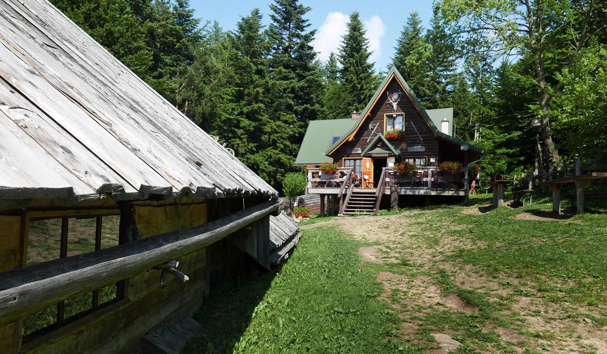
Kudłacze Shelter
Phew, we have finally reached our destination! A cozy, small shelter - and it's the closest one to Krakow! Here, we can enjoy a warm meal and take a rest. Children will find a playground near the shelter, and there is also a place for a bonfire.
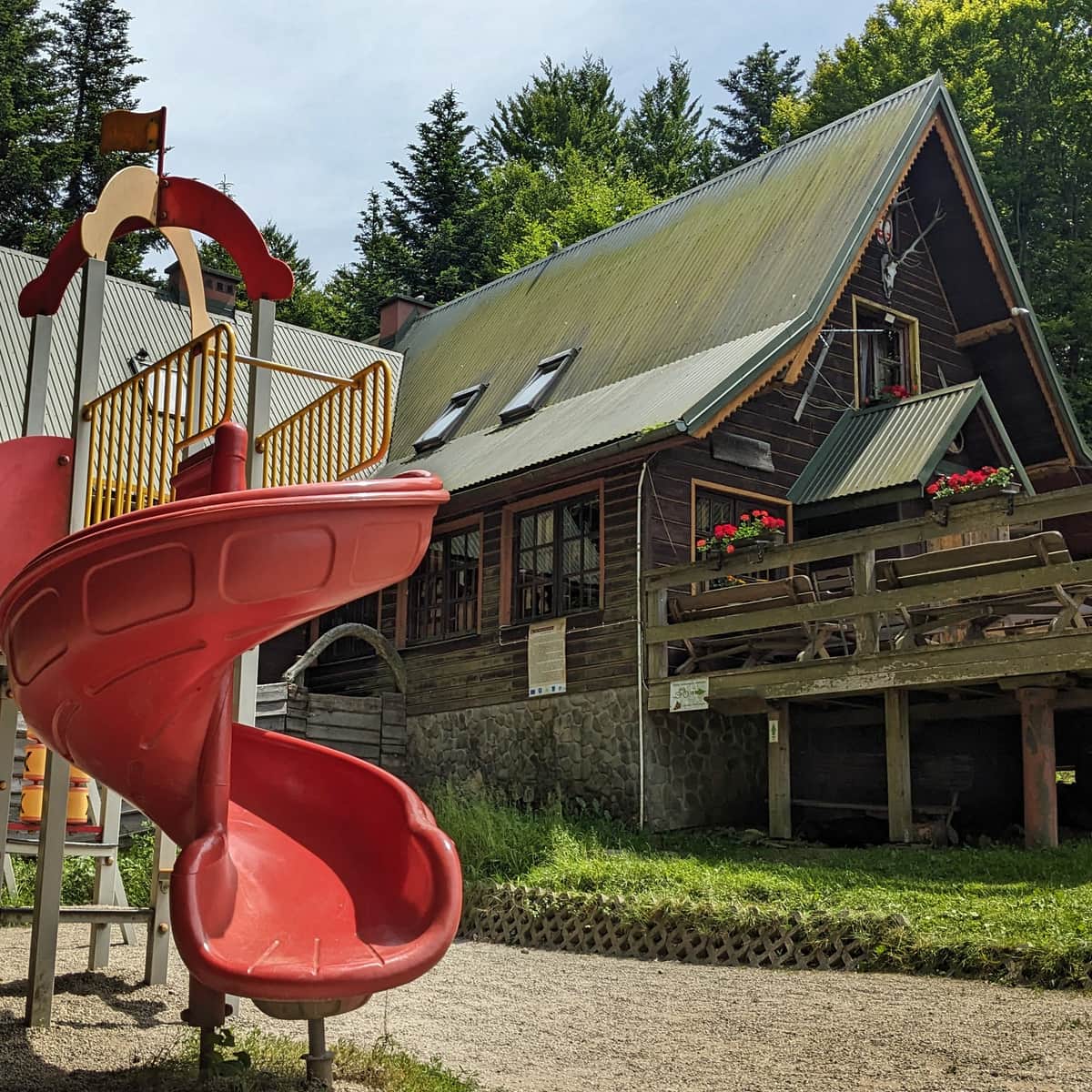
PTTK Shelter on Kudłacze Meadow
PTTK Shelter at Kudłacze - so close to Krakow that you can visit for an afternoon family walk. ...
PS. We have included this route in the article "Mountain routes for family hikes near Krakow". Discover the others as well!
Mountain trails for family hikes near Krakow
Where to go from Krakow for a short mountain trip? Hundreds of kilometers of hiking trails south of the capital of Małopolska. ...

Publish Date:
More in the Region Beskidy (Beskidy)