From Obidowa through Stare Wierchy to Turbacz - winter
Nearby: Rabka Zdrój| Distance | 8.2km |
|---|---|
| Time | 3h 33min |
| Ascents | 601m |
| Descents | 99m |
beach_access Route in the shade
restaurant Restaurant or bar nearby
directions_car Access by car
directions_bus Can be reached by bus
wc Toilet along the route
From Stare Wierchy to Turbacz, we can reach in about 2.5 hours primarily through a comfortable wide ridge trail (it gets steeper only near the summit).
Obidowa - Stare Wierchy
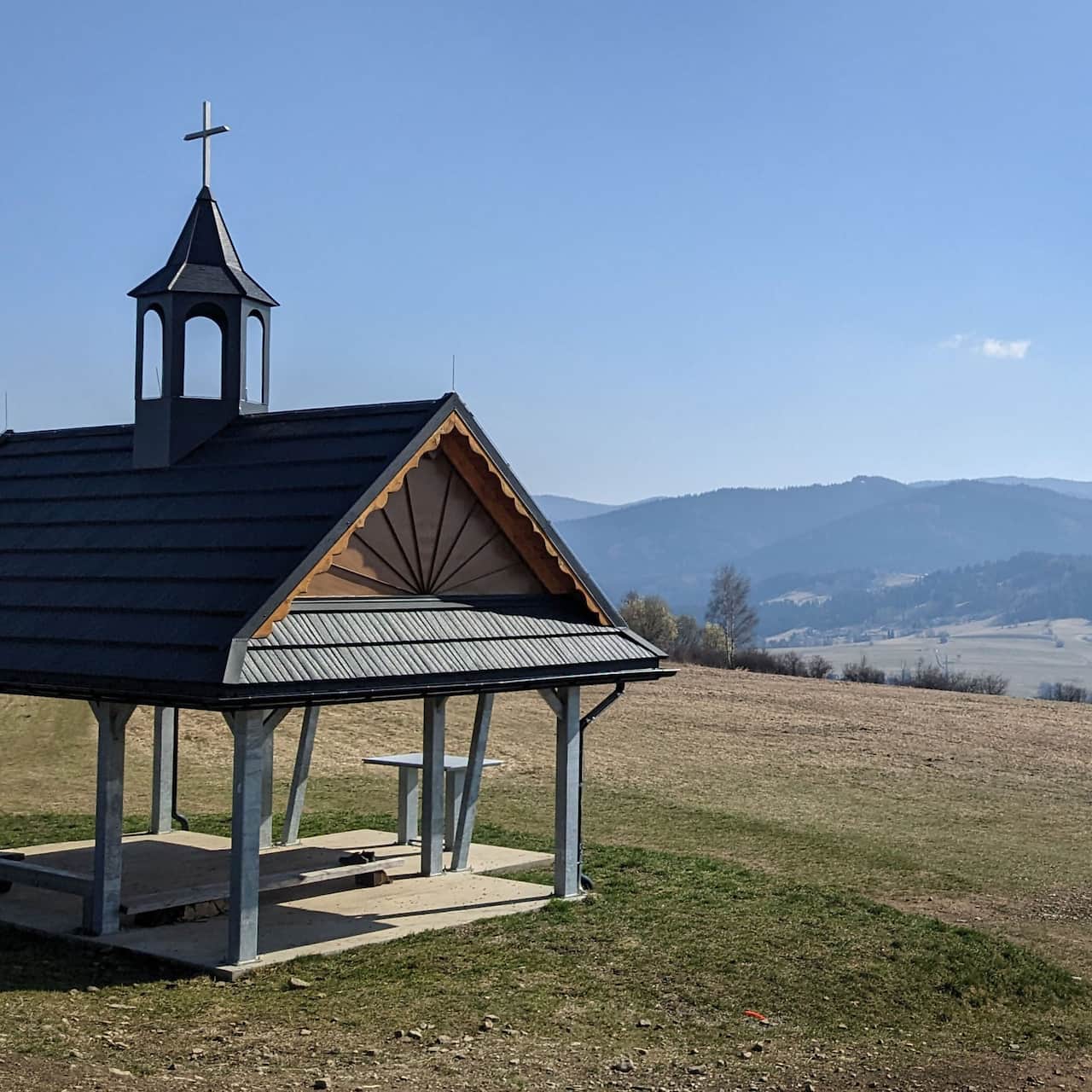
But first, we need to get to Stare Wierchy. The shortest and easiest route leads from Obidowa. We will reach the shelter in about 40 minutes using the green trail, which is a forest access road.
Easy
Stare Wierchy from Obidowa - winter

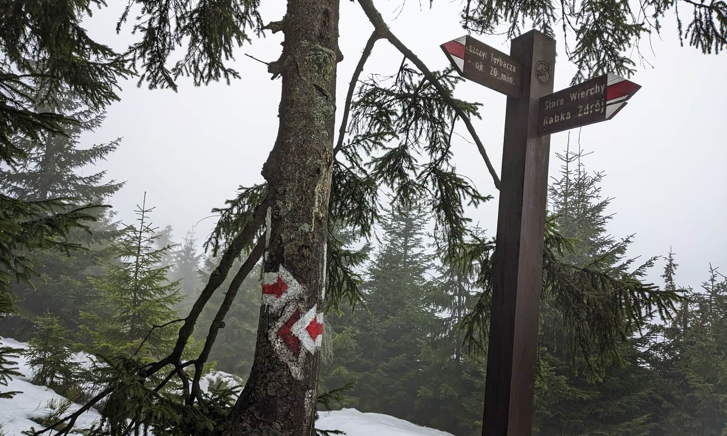
Stare Wierchy - red trail to Turbacz
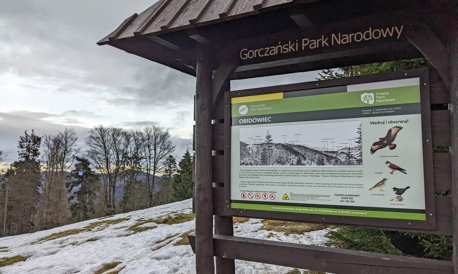
From the Stare Wierchy shelter, we start our journey on the red trail to Turbacz! We hike along a comfortable forest path that gently ascends to the summit of Obidowiec.
With a bit of luck, from the clearing at Obidowiec, we can see the Tatra Mountains - unfortunately, we were not able to...
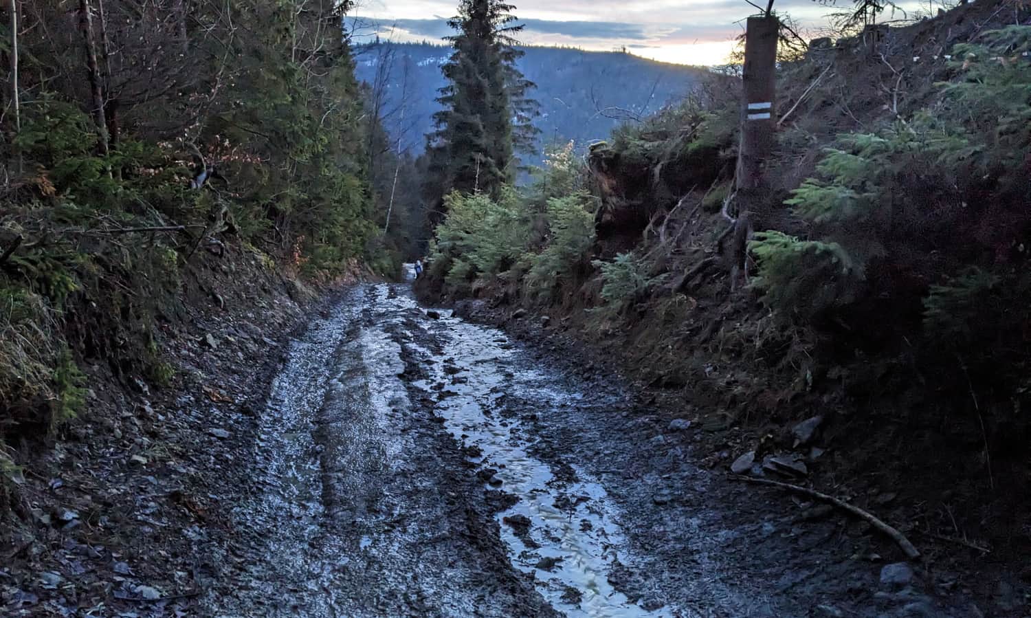
The next section of the trail is about 2 km long... mostly flat, wide asphalt road. Along the way, there are alternating forests and meadows.
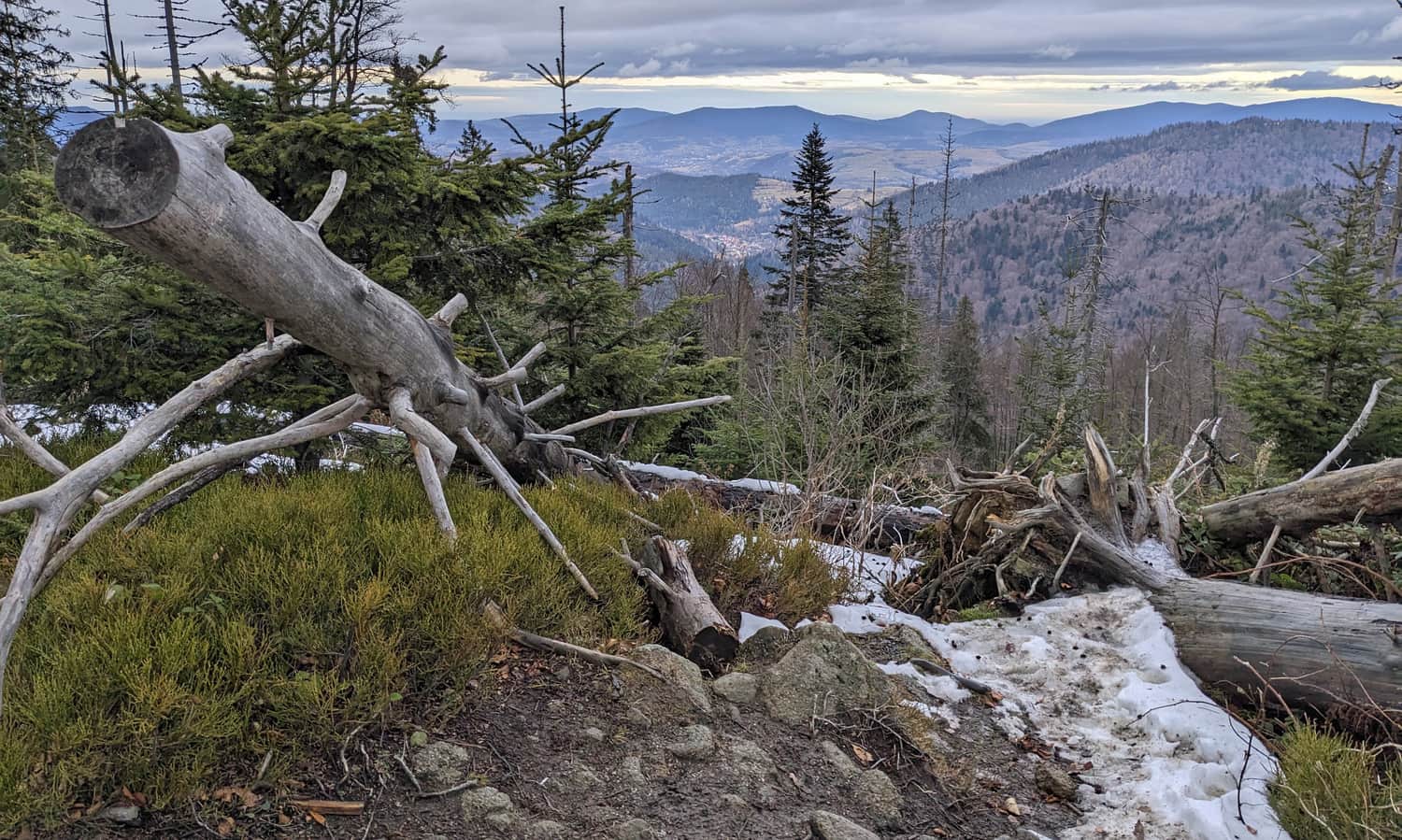
It is worth stopping at the site of the airplane crash in May 1973. At this location, there is a viewpoint to the northwest:
Red trail - ascent to the summit of Turbacz
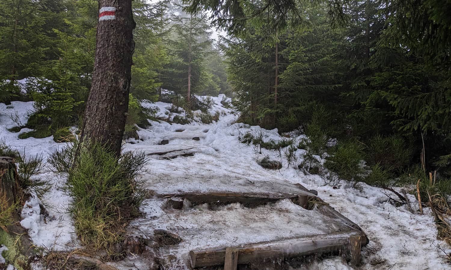
As usual, the "stairs" will start just below the summit. The most challenging section of our trail will be the last 30 minutes of the hike. It gets steeper, and there may even be stairs - caution: icy in winter!
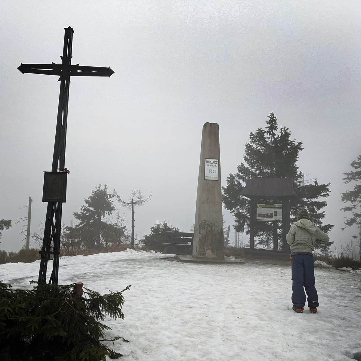
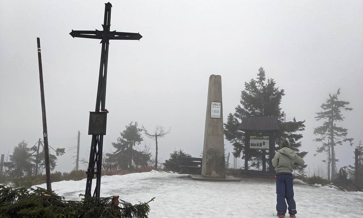
Turbacz - summit 1310 m above sea level
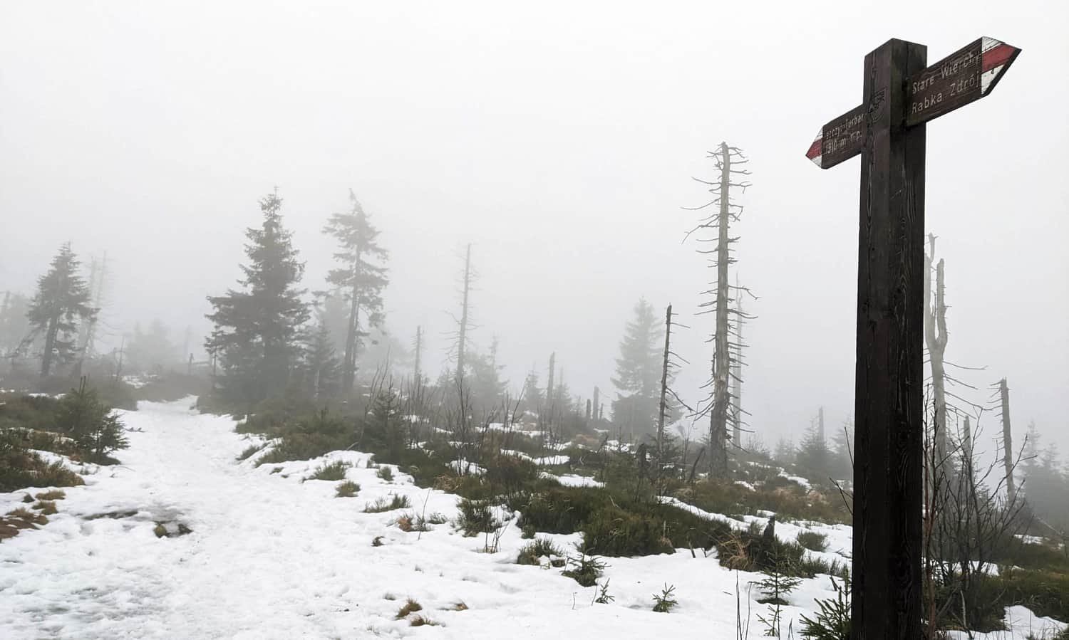
At the top of Turbacz, a distinctive obelisk, cross, and bench await us. There are fewer trees than in the past, so the "views" are probably visible. Unless there is fog, of course...
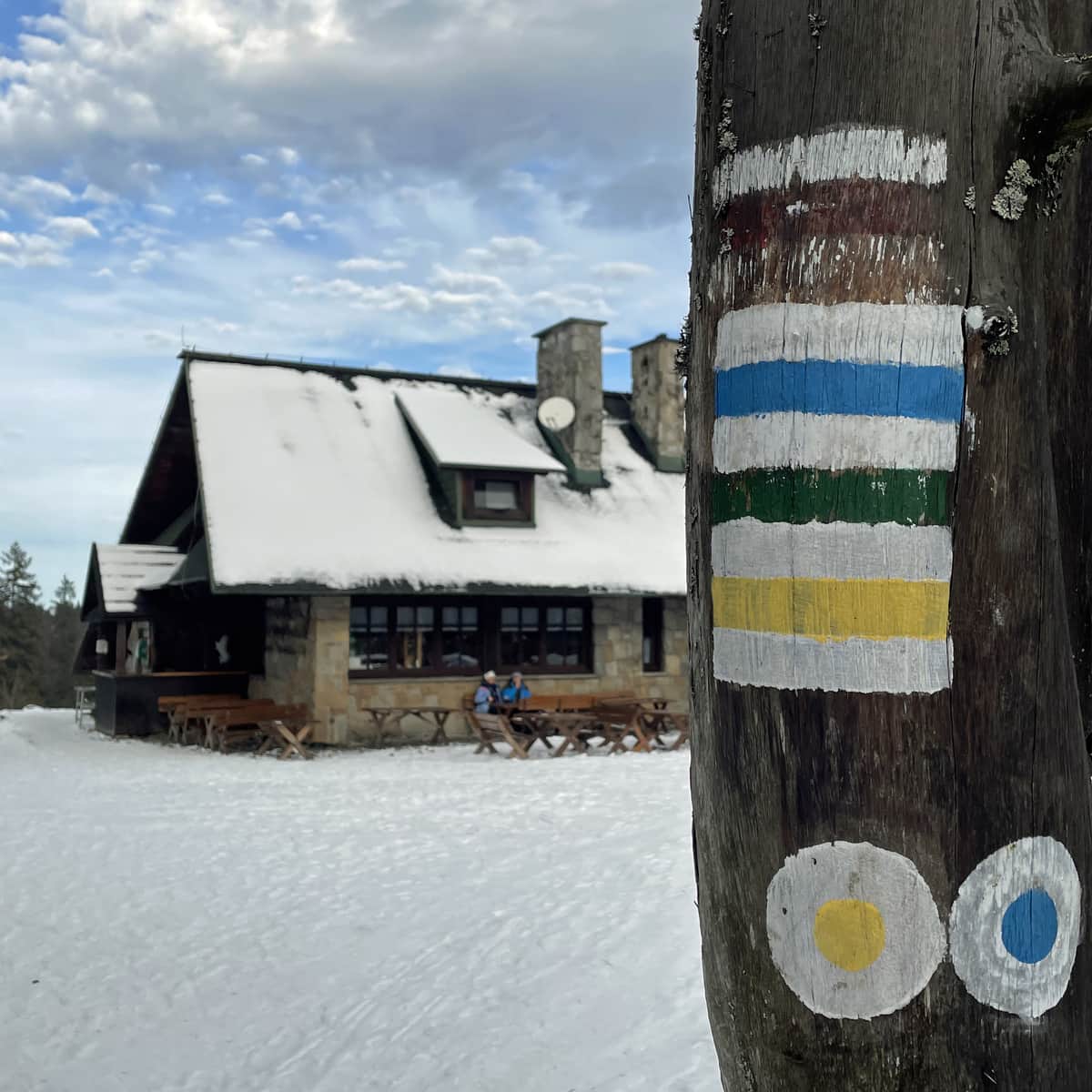
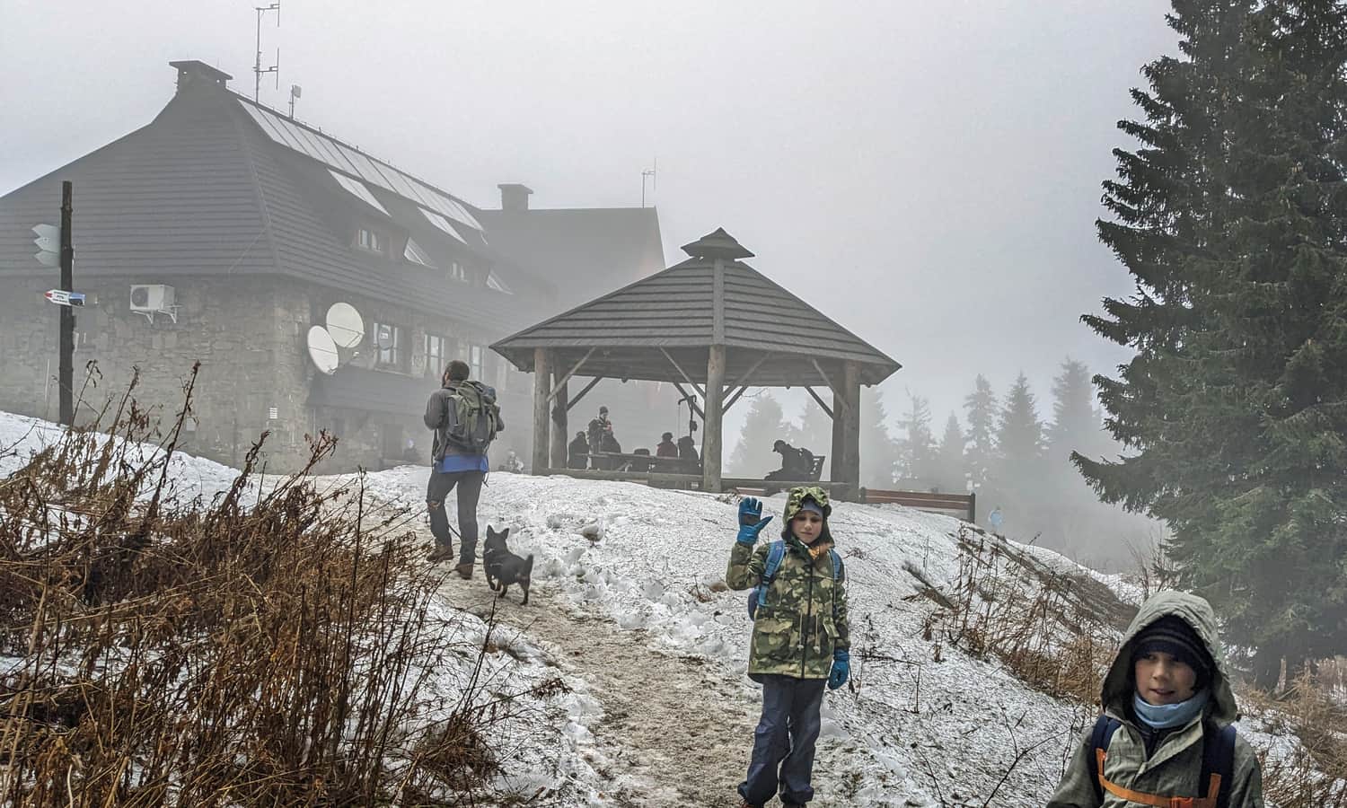
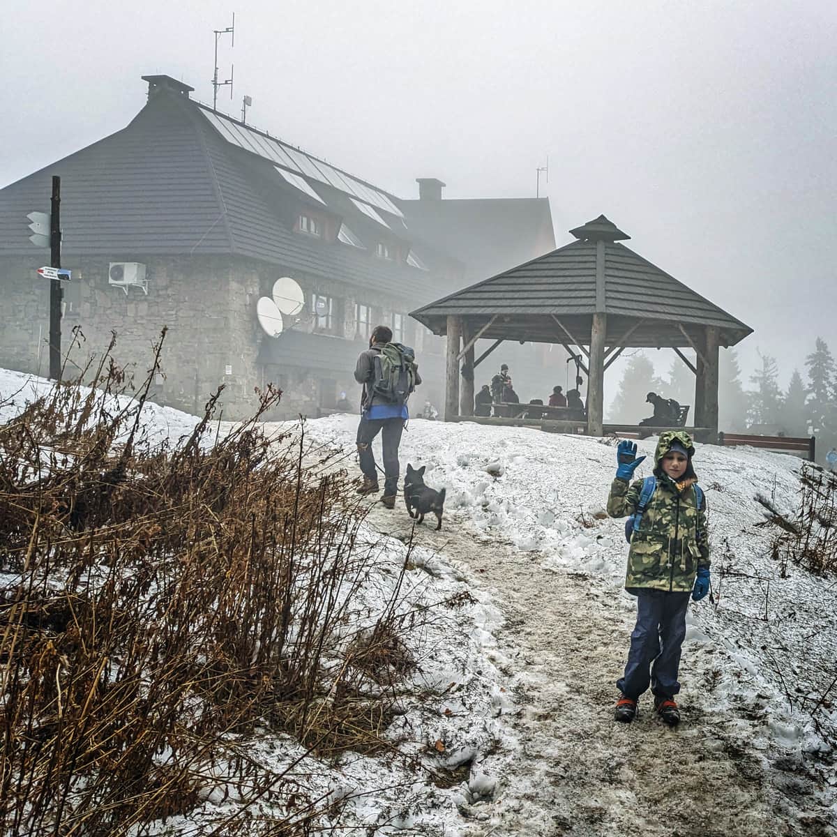
Shelter on Turbacz
Continuing on the red trail for about 10 minutes, we will reach a large PTTK shelter (hot meals, souvenirs, mini-museum of mountain tourism). From the Turbacz shelter, one of the most beautiful panoramas of the Tatra Mountains can be seen... unless there is fog, of course...
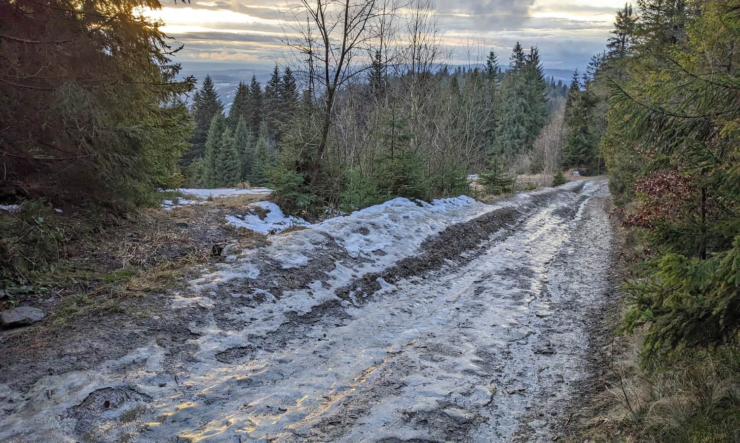
From Turbacz to Obidowa
On the way back, we can return by the same route through Stare Wierchy (it takes about 2 hours downhill), or make a loop passing through Bukowina Miejska (yellow trail), the black trail to Bukowina Obidowska, and descend using the green trail to the trailhead (it takes about 2.5 hours downhill) - here is the description of this trail:
Medium
Turbacz from Obidowa in Winter

More about Turbacz and other trails to the summit:
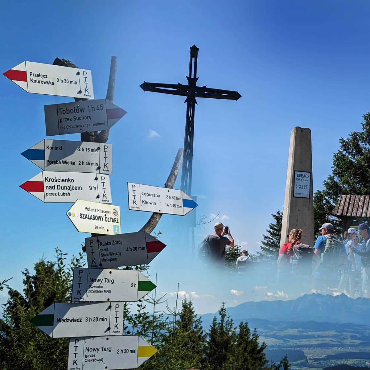
Turbacz - all trails, shelter, attractions
Turbacz (1310 meters above sea level) is the highest peak of the Gorce Mountains, famous for its stunning views of the Tatra Mountains. ...

Publish Date:
Last Updated:
More in the Region Gorce (Gorce)