Winter hike to Kudłacze
Nearby: Myślenice| Distance | 4.2km |
|---|---|
| Time | 2h 2min |
| Ascents | 395m |
| Descents | 80m |
restaurant Restaurant or bar nearby
directions_car Access by car
directions_bus Access by public transport
wc Toilet along the route
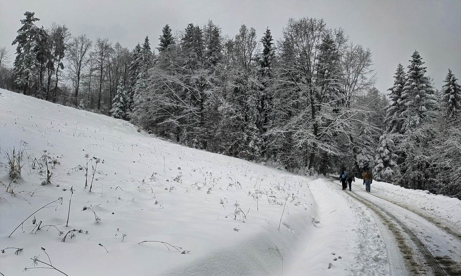
Easy route recommended for a family winter walk. The advantages of this trail are quick access from Krakow, no steep climbs along the trail, and the possibility to rest in a mountain hut. When hiking this trail in winter, it is also important to note that a large part of the trail follows a access road, so we won't be trudging through deep snow.
The fastest and easiest way to Kudłacze in winter
It is difficult to reach Kudłacze by car in winter - the road from Pcim is steep, winding, often not cleared of snow, and without chains and experience in driving in the mountains, it is better to avoid it! It is definitely better to go on foot, and the quickest way to get here is from Poręba through Działki.
Starting point of the trail to Kudłacze in Poręba
In Poręba, it is best to leave the car near the church (theoretically, you can drive further, but parking can be a big problem, especially in winter). There are also buses from Myślenice to Poręba.
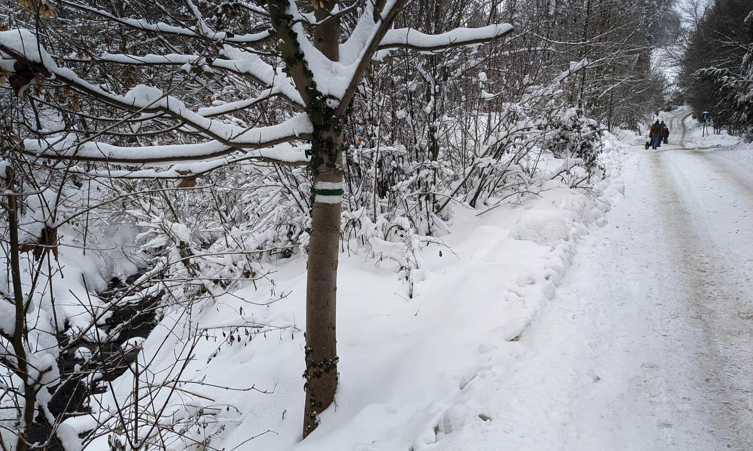
Green trail from Poręba
The green trail from Poręba leads either north, through Kamiennik to Kudłacze, or south towards the summit of Działki. We choose the direction towards Działki, which means turning right from the church, along the stream.
The first section of the trail is an asphalt road, which leads to only a few farms and the traffic is minimal.

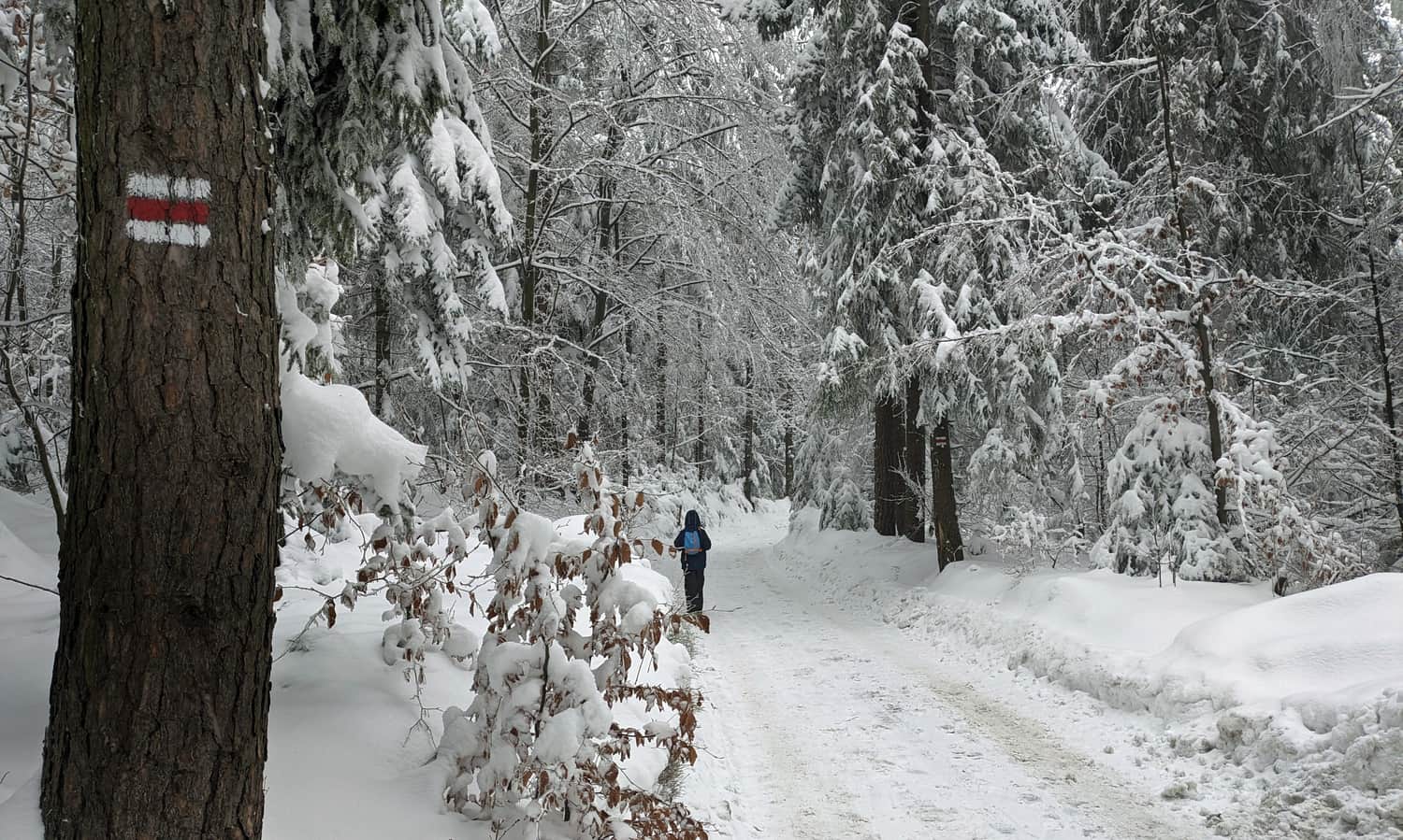
The road climbs up to the edge of the forest - here the path becomes narrow... and more beautiful!
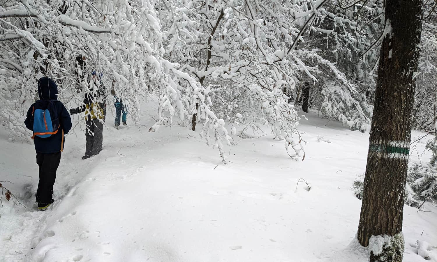
Soon we will reach the end of the green trail. We turn left at the red markers and, "checking off" the summit of Działki, we head east - this is already halfway to the mountain hut!
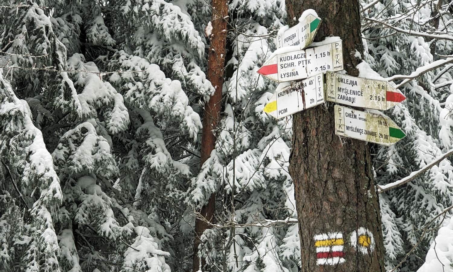
Działki - Kudłacze
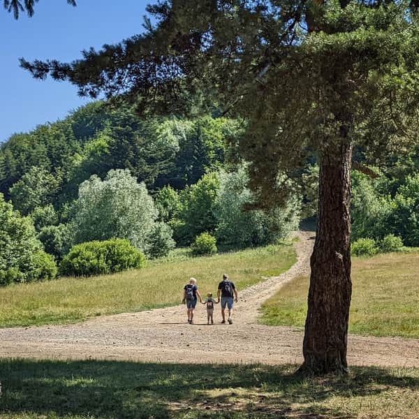
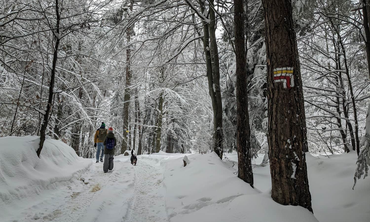
From Działki, we walk a considerable distance on a wide, asphalt road, which leads us through scenic meadows to the forest.
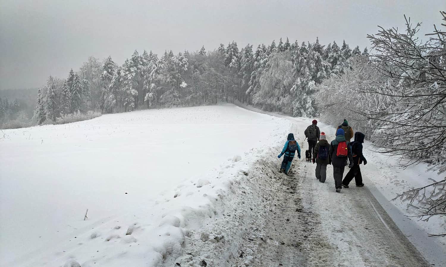
Climbing the forest path is the last section of our trail, and soon we will reach our destination!
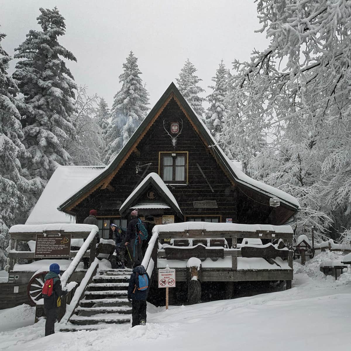
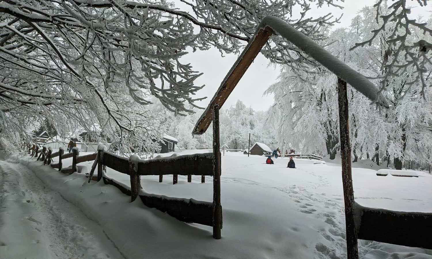
Mountain Hut at Polana Kudłacze
After about 2 hours (in our case, 1.5 hours) from starting in Poręba, we will reach Polana Kudłacze.
There is a small mountain hut here, serving hot meals, drinks, snacks, souvenirs, and stamps for your passport. There are also toilet facilities available.
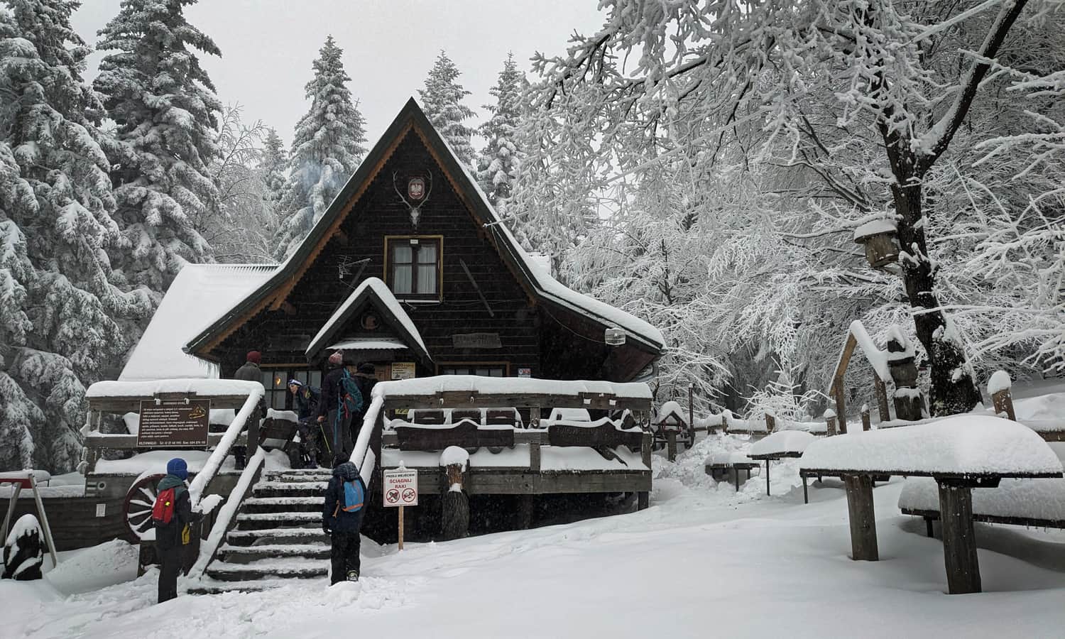
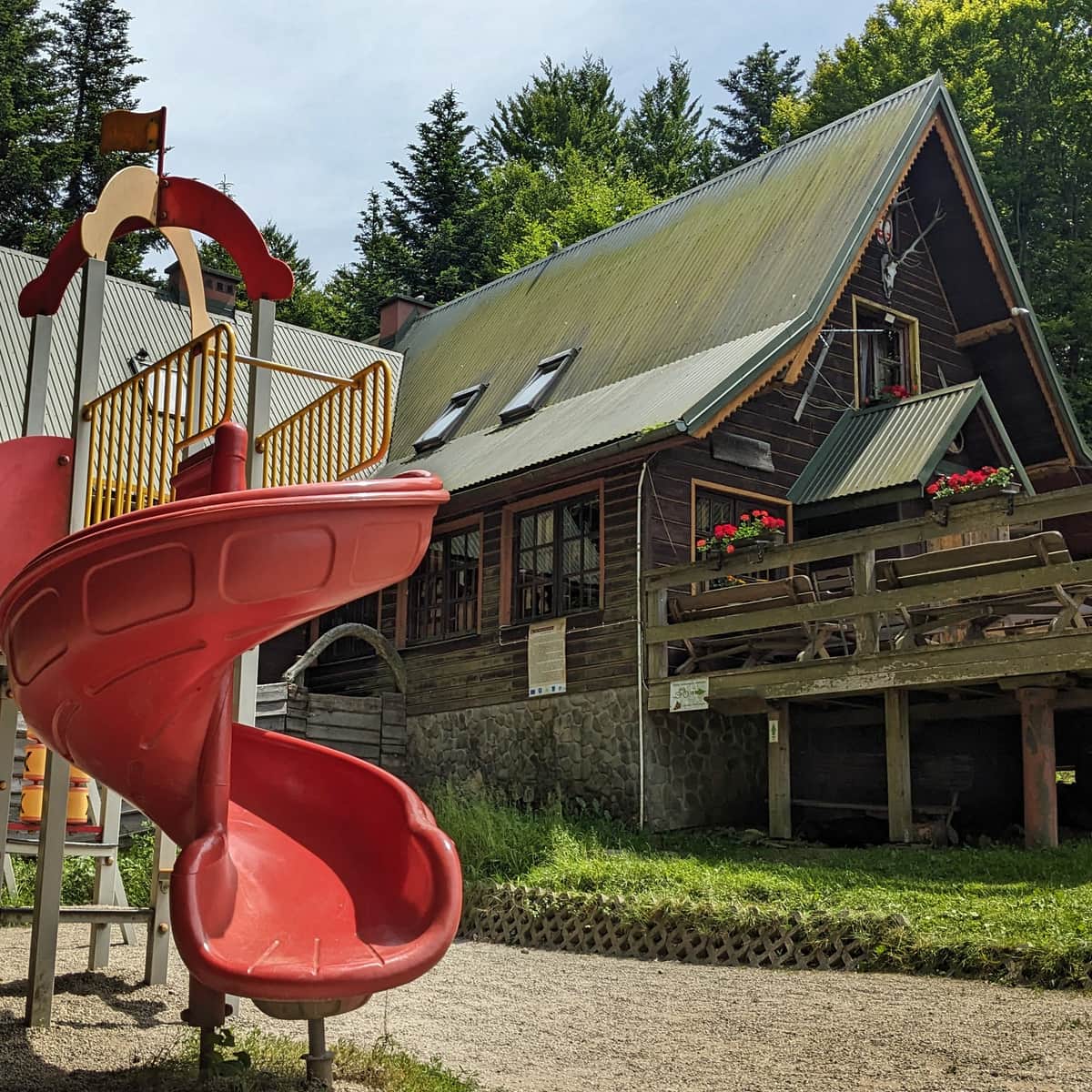
PTTK Shelter on Kudłacze Meadow
PTTK Shelter at Kudłacze - so close to Krakow that you can visit for an afternoon family walk. ...
From Kudłacze to Poręba
To return to Poręba, we descend the same way (about 1 hour). Alternatively, we can take the green trail down to Polana Sucha (there will be a few steep sections) and then follow the forest road to Poręba (about 1.5 hours). The third, longest option is to descend to Polana Sucha and pass through Kamiennik to Poręba (2.15 hours).
From Kudłacze to Lubomir
From the mountain hut at Kudłacze, there is an easy ridge trail to the highest peak of the Beskid Makowski: Lubomir, 904 meters above sea level. In winter conditions, you can reach it in about 1.5 hours.
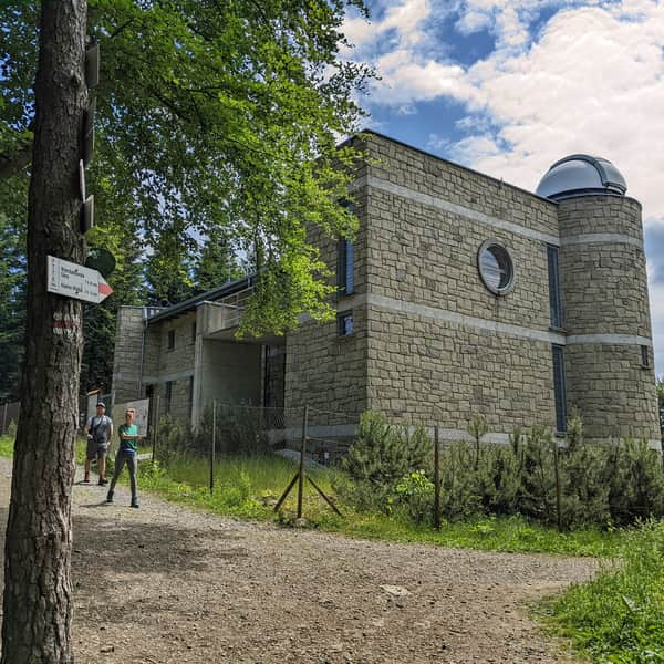
Lubomir - all trails, facts, and interesting information
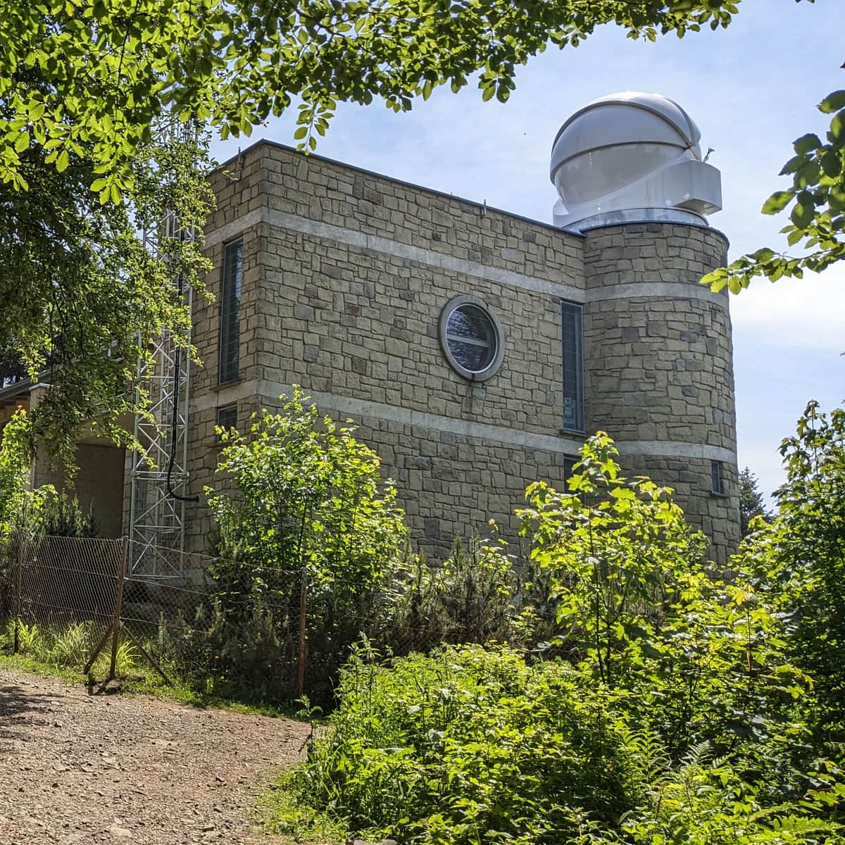
Lubomir, at an elevation of 904 meters above sea level, is the highest peak of the Makowski Beskid, belonging to the Crown of Polish Mountains and the Crown of Polish Beskids. One of the attractions at the summit is the opportunity to visit an active astronomical observatory. What should tourists know about Lubomir and the trails leading to its summit? ...

Publish Date:
Last Updated:
More in the Region Beskid Makowski (Beskid Makowski)