New black trail to Polana Sucha
Nearby: Myślenicestroller Route for a stroller with large wheels
beach_access Route in the shade
directions_car Access by car
directions_bus Can be reached by bus
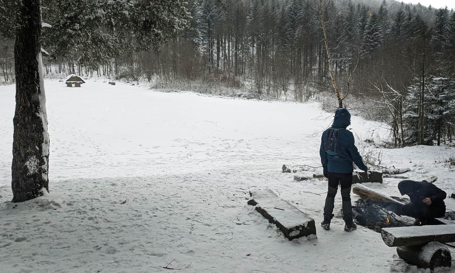
The black trail to Polana Sucha from Kobielnik and Lipnik is a short, convenient, and easy route that will take us to a picturesque meadow with a place for a bonfire. If you feel like continuing your hike, you can also reach the peaks of Łysina, Kamiennik, and the PTTK Kudłacze Shelter.
Starting point of the black trail in Lipnik / Kobielnik
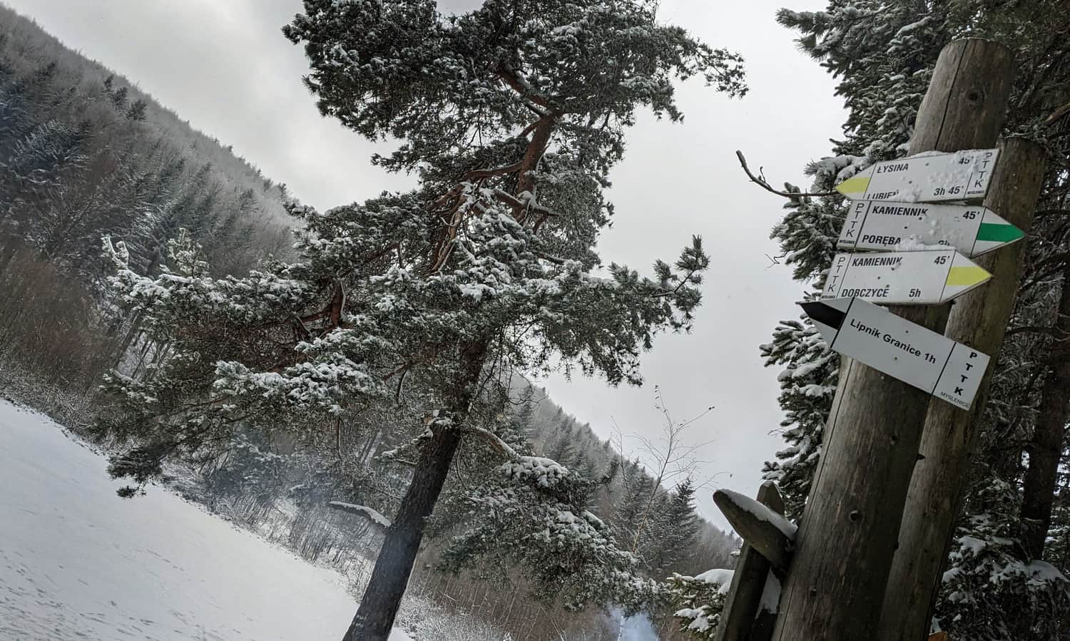
The black trail to Polana Sucha starts at the PKS Lipnik Granice bus stop, but you can also reach it from the PKS Kobielnik Wirchy bus stop.
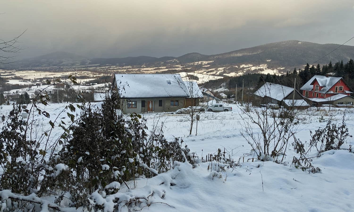
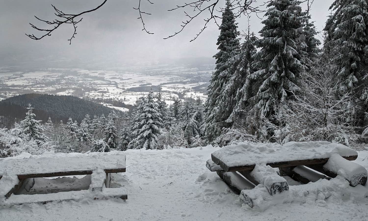
Motorists can drive to the free parking lot at the end of the asphalt road, just before the trail entrance. It can accommodate several cars. From the parking lot, you can already enjoy a beautiful view of Koltlinka Wiśniowa, the Krzyworzeka Valley, and the entire Cietnia Range: from the conical Grodzisko to the massive Ciecień.
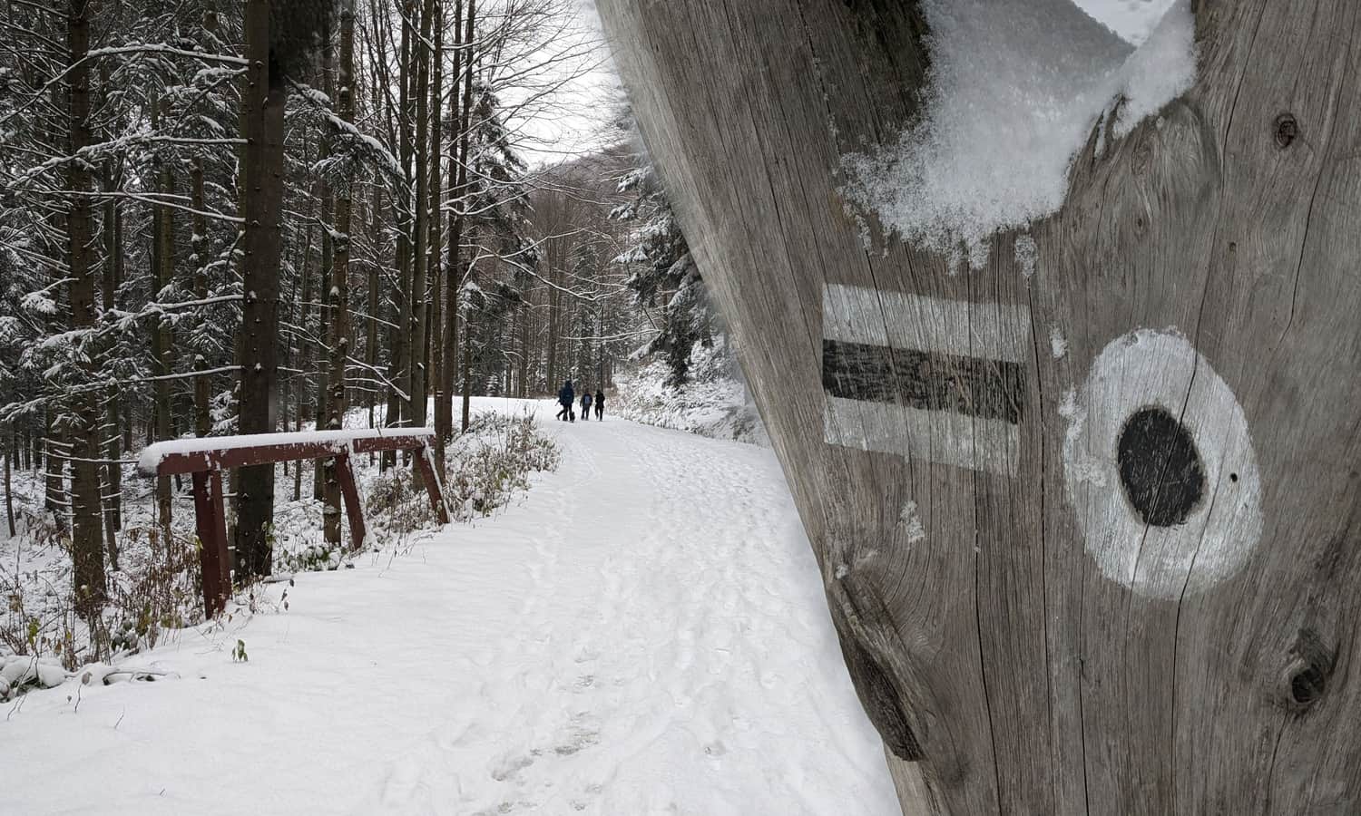
Black trail from Lipnik to Polana Sucha
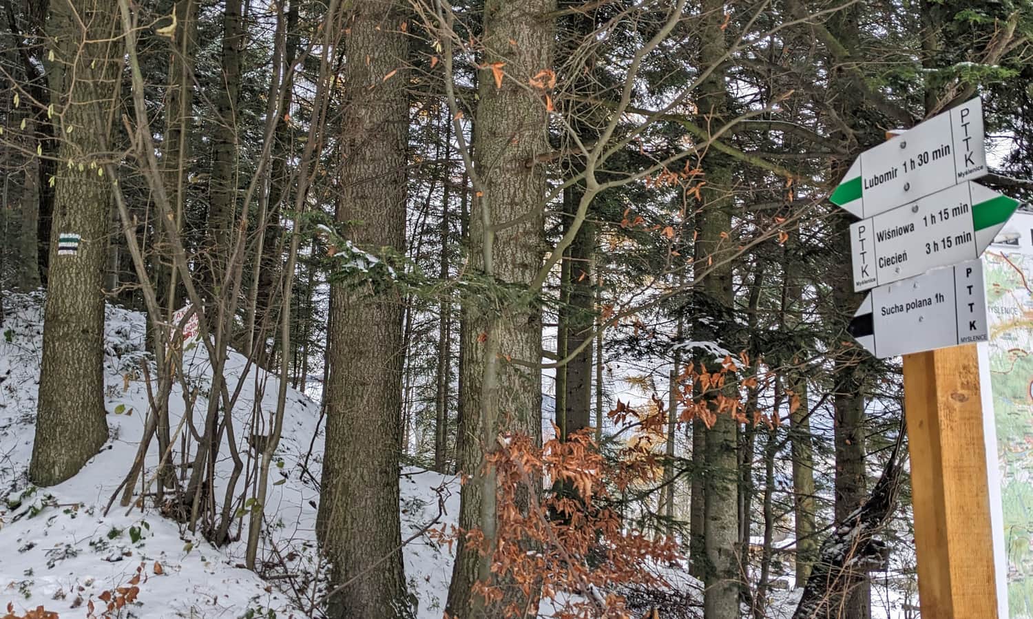
Right after the parking lot, the trail enters the forest and soon separates from the accompanying green signs, which turn left towards Lubomir.
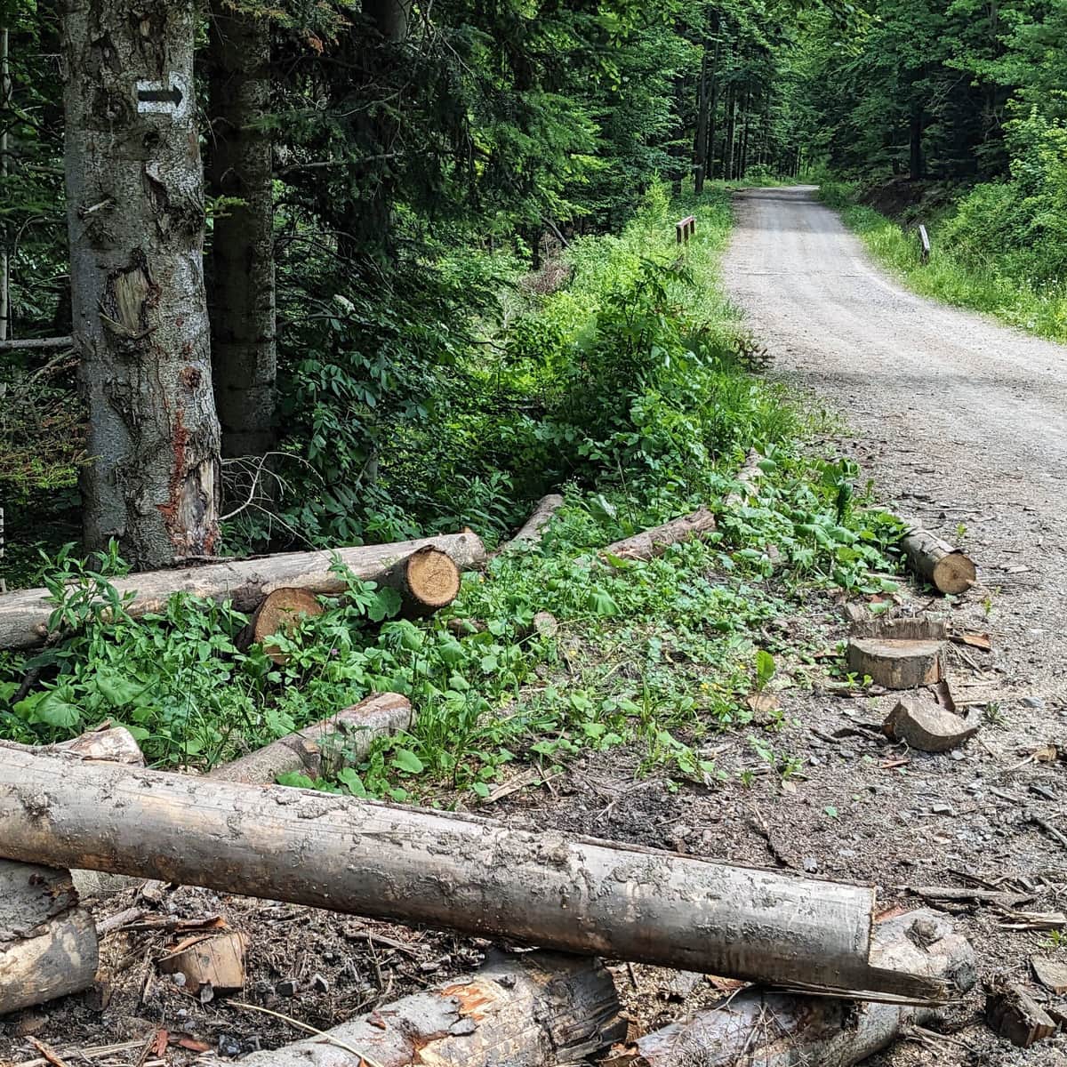
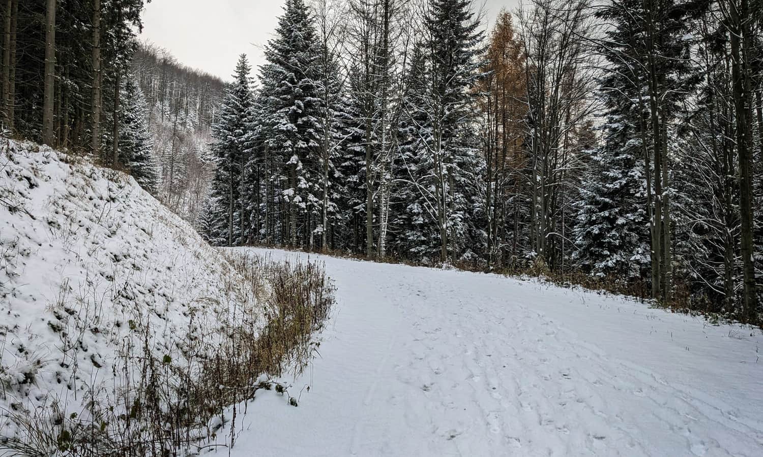
The entire route follows a wide forest road. Along the way, you will come across numerous streams flowing down from the slopes of Lubomir.
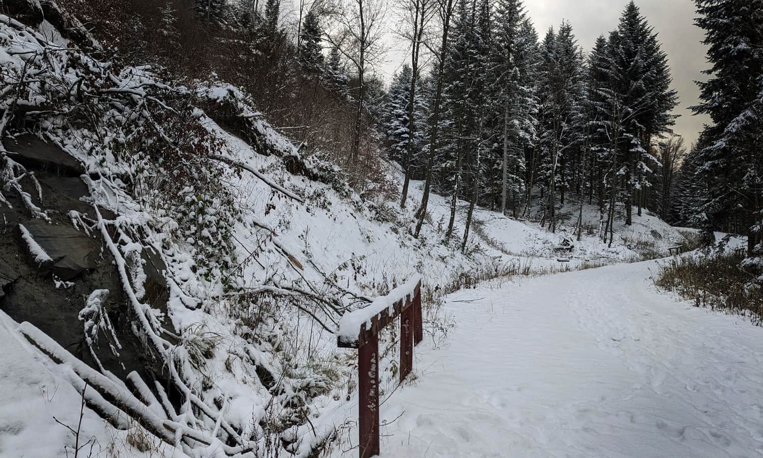
The road is wide enough and gently ascends to the meadow, making it suitable for a forest walk with a stroller (with large, off-road wheels) or a mountain biking excursion.
The only major obstacle here may be mud: the road is not paved, so after rainfall or spring-autumn thaws, you will definitely need to avoid numerous puddles.
Polana Sucha and what's next?
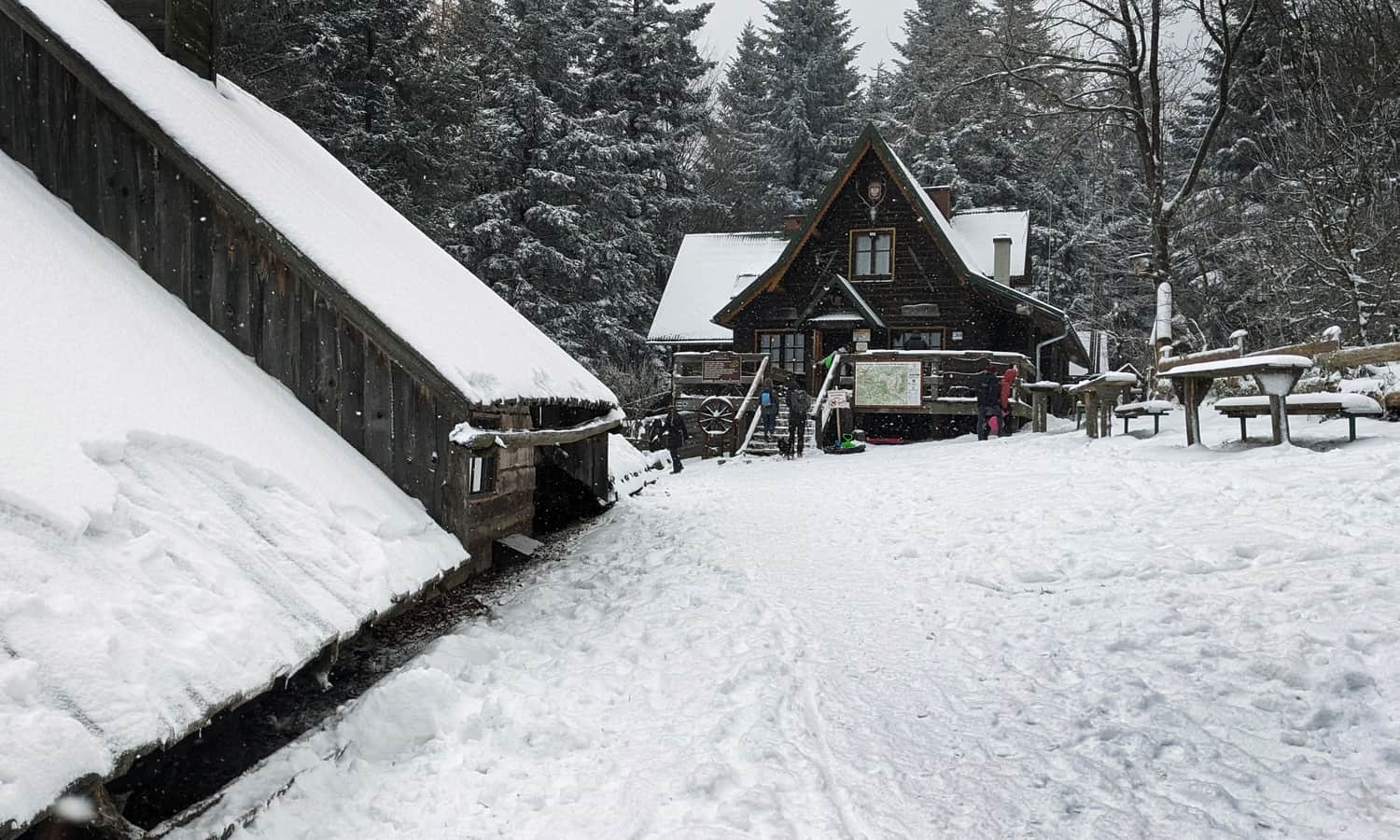
After about an hour of forest walking, you will reach the vast Polana Sucha. Here, you will find a covered shelter, a place for a bonfire, and a partisan altar.
You can find more interesting facts about Polana Sucha in this article:
Sucha Polana - trails from Poręba and Kudłacze
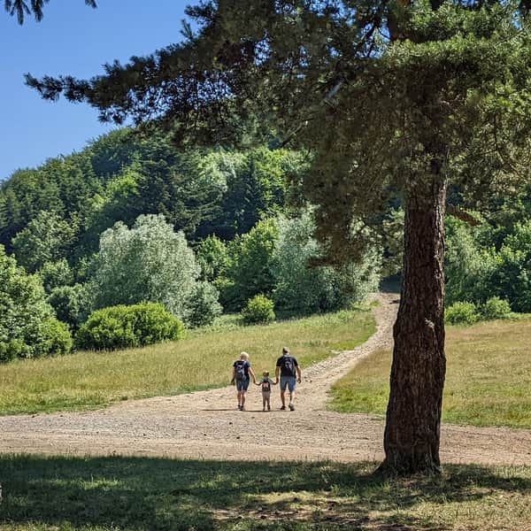
Sucha Polana on Sucha Pass (710 meters above sea level), near Poręba, is a picturesque and peaceful place between the ridges of the Beskid Wyspowy: Łysina and Lubomir in the south, and Kamiennik in the north. You can organize a family picnic here, have a bonfire... ...
If, after reaching Polana Sucha, you feel like continuing your hike, you can climb the neighboring peaks: Kamiennik Południowy or Łysina. You can also reach the highest peak of the Beskid Makowski, which is Lubomir (904 m above sea level) or visit the atmospheric PTTK Kudłacze Shelter.
Loop from Lipnik: Lubomir - Kudłacze - Polana Sucha
You can use the new black trail from Lipnik for a "loop hike," which means first taking the green trail to Lubomir and then crossing the ridge through Łysina using the red trail (or the less frequented black trail) to reach the PTTK Kudłacze Shelter. Then, descend to Polana Sucha using the green trail and return to the parking lot in Kobielnik via the black trail.
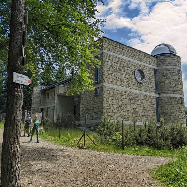
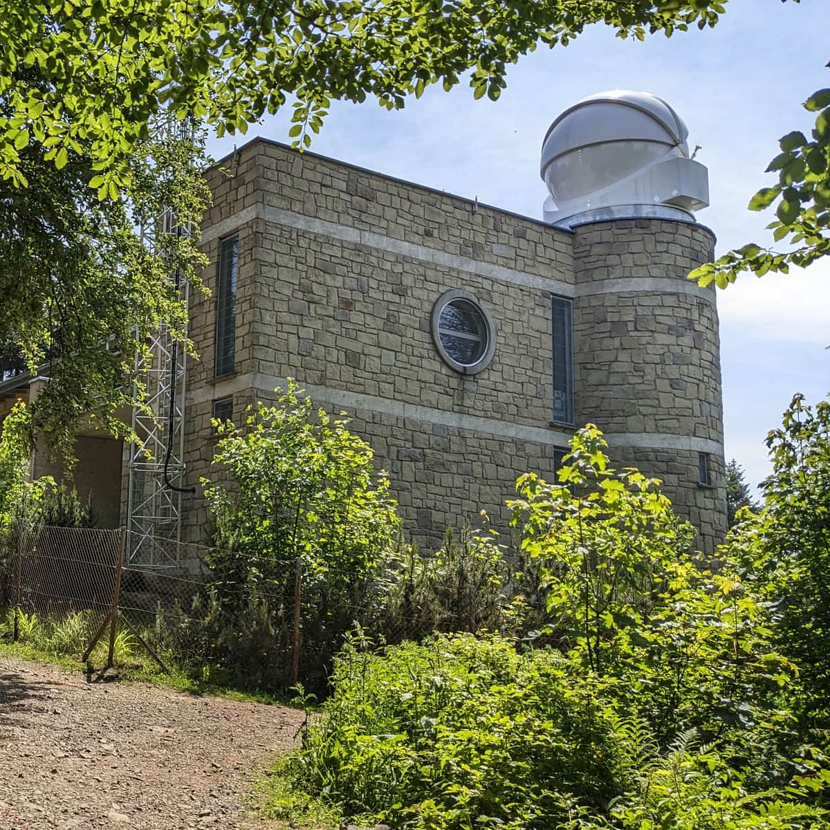
During such a trip, you will cover a distance of approximately 10 km in about 3 hours, with an elevation difference of around 400 m. You will also reach the highest peak of the Beskid Makowski, Lubomir (904 m above sea level), which features an astronomical observatory:
Lubomir - all trails, facts, and interesting information
Lubomir, at an elevation of 904 meters above sea level, is the highest peak of the Makowski Beskid, belonging to the Crown of Polish Mountains and the Crown of Polish Beskids. One of the attractions at the summit is the opportunity to visit an active astronomical observatory. What should tourists know about Lubomir and the trails leading to its summit? ...
...viewpoint below Lubomir:
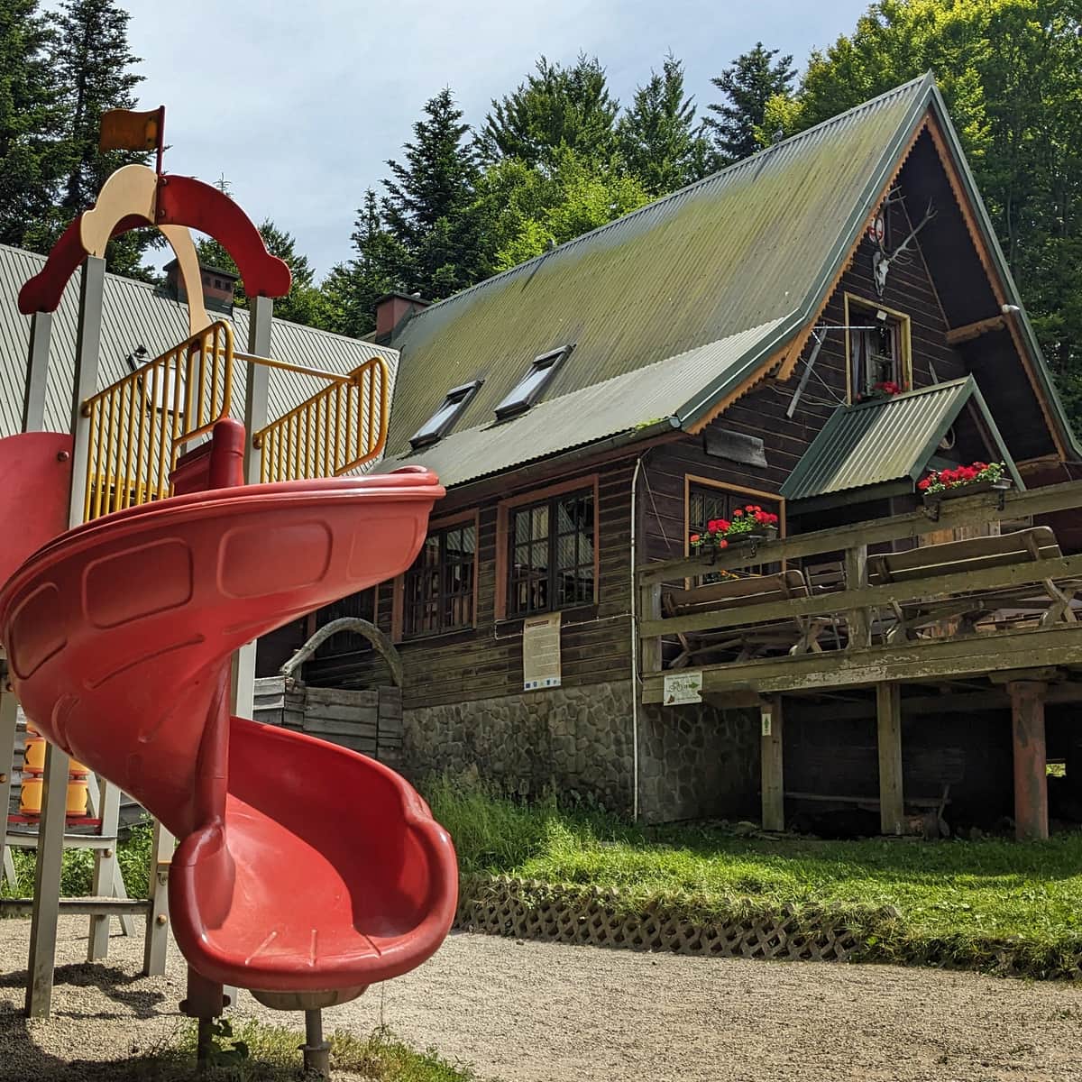
...and the atmospheric PTTK Shelter on the scenic Polana Kudłacze.
PS. You can also shorten the loop by using the steep yellow trail Łysina - Polana Sucha. In this case, you won't visit the shelter at Kudłacze, but your trip will be reduced to 6.5 km (with a 330 m elevation difference, to be covered in approximately 2 hours).
Polana Sucha - trail map and points of interest
You can see all the described trails and the location of points of interest around Polana Sucha on this map:

Publish Date:
Last Updated:
More in the Region Beskid Makowski (Beskid Makowski)