
Mogielica: trails, routes, and loops
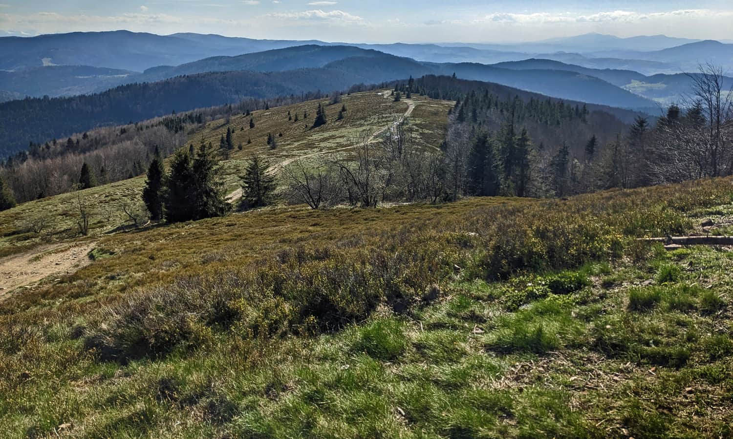
Mogielica (1170 meters above sea level) is the highest peak of the Island Beskids, which is part of the Crown of Polish Mountains and the Crown of Polish Beskids. At the prominent and quite steep summit, there is a new observation tower. Also, the nearby Polana Stumorgowa is famous for its beautiful views. In winter, the Mogielica massif is surrounded by kilometers of cross-country skiing trails.
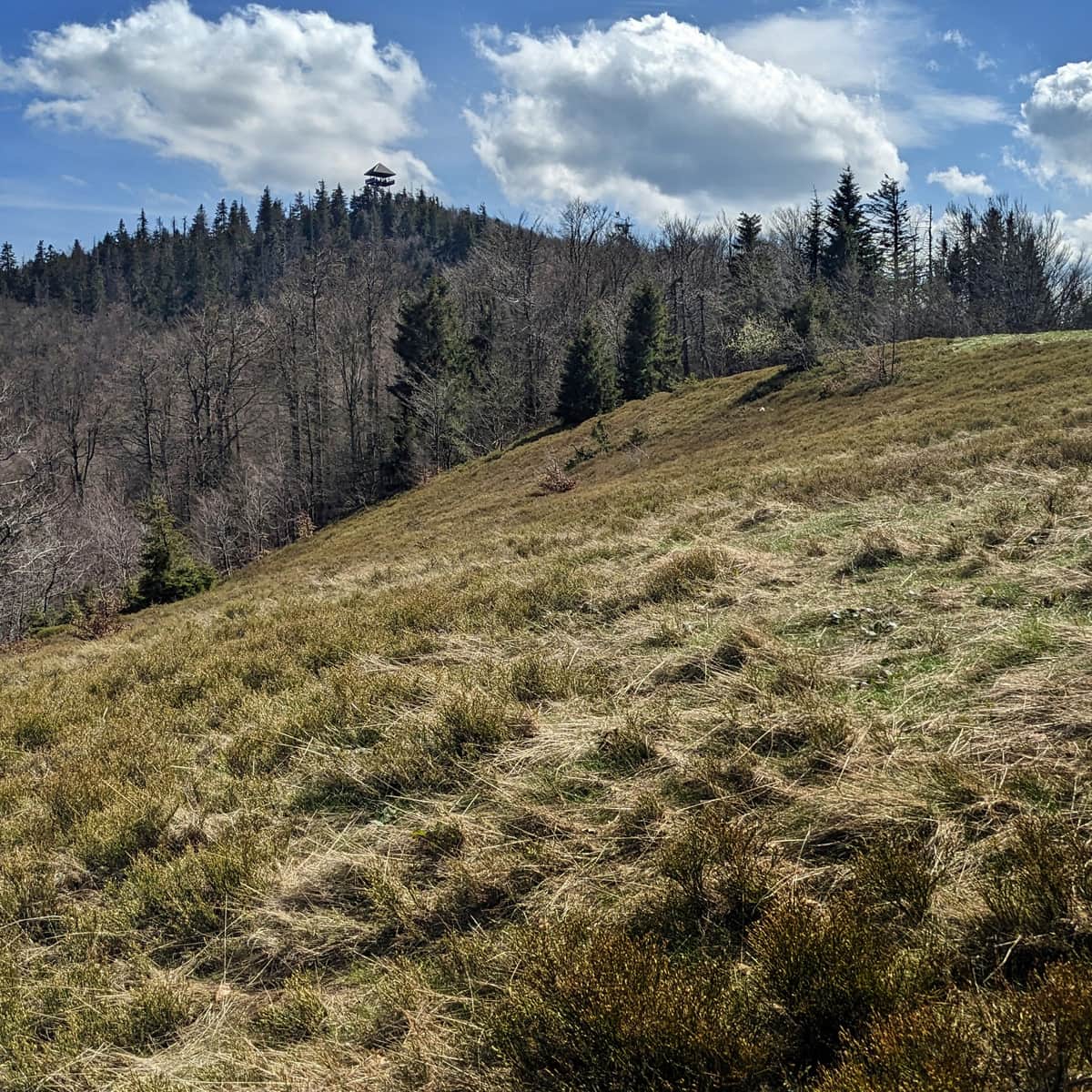
New observation tower on Mogielica
The new tower, built in the summer of 2022, is already standing on Mogielica!
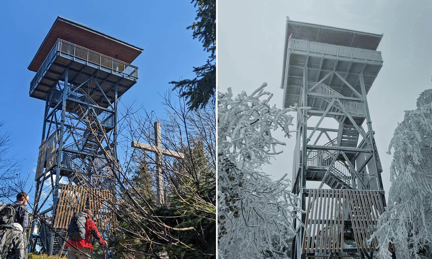
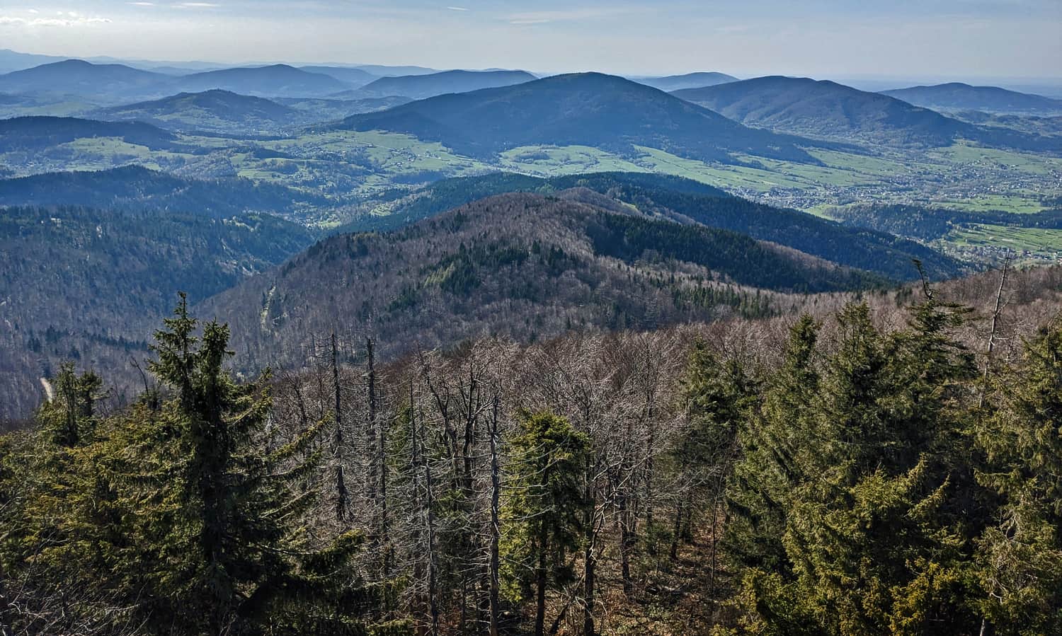
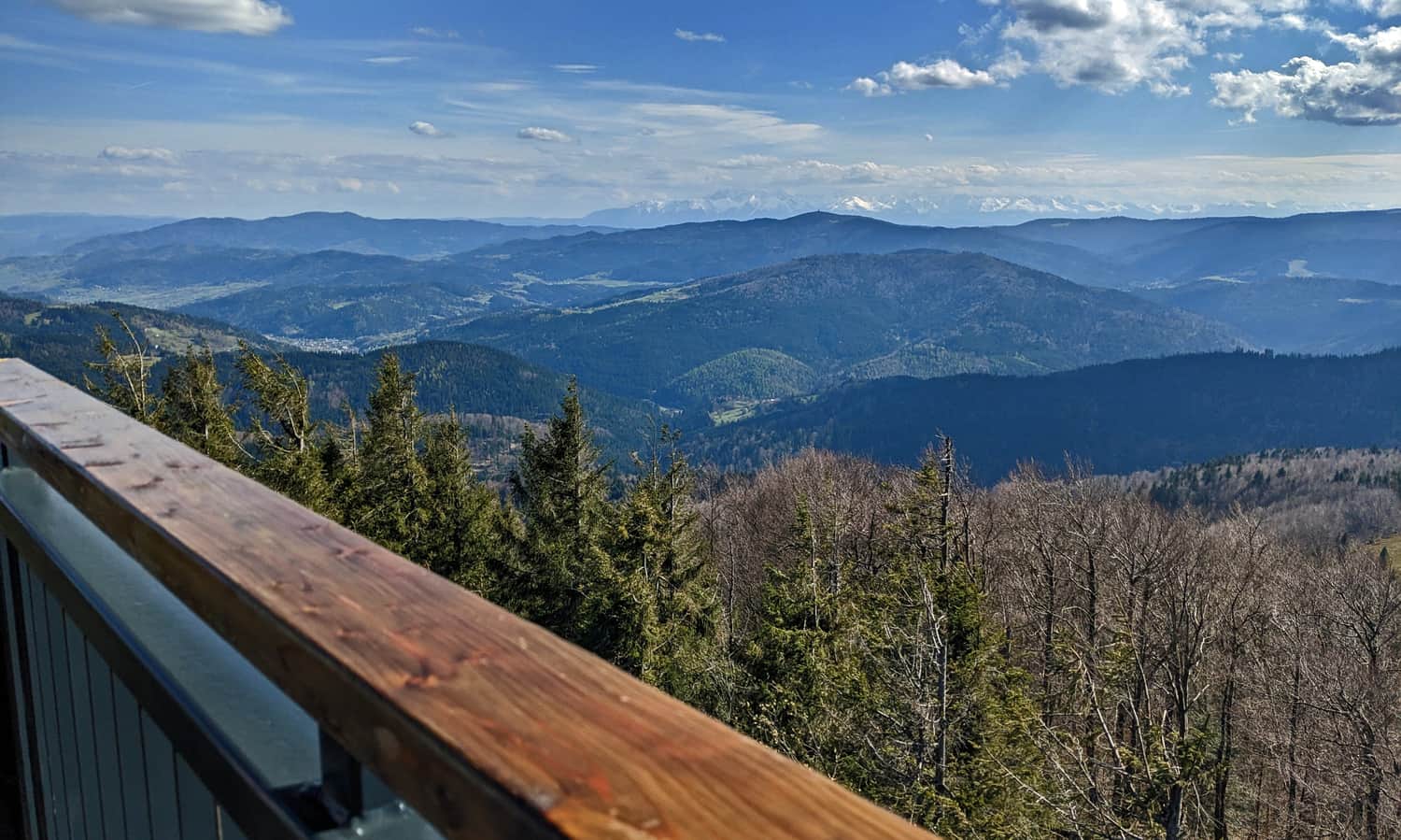
From the observation deck on the tower, you can enjoy views in all four directions. You can see all the "islands" of the Queen of the Island Beskids, including Lubon Wielki, Szczebel, Lubogoszcz, Ćwilin, Śnieżnica, Ciecień, Kostrza, Łopień, Kamionna, Pasmo Łososińskie, Jaworz, and Modyń. Beyond the "islands," you can also see the entire Gorce range with the characteristic peak of Gorca (with its tower), Luban and Turbacz peaks in the Beskid Sądecki, and Radziejowa in the distance (visible with binoculars). On the southern horizon, you can see the Tatra Mountains, on the western horizon - the Żywiec Beskids with Babia Góra, the Silesian, Makowski, and Mały Beskids, on the eastern horizon - the Low Beskids, and on the northern horizon - the buildings of Krakow.
P.S. There are still no information boards with descriptions of the panorama from the tower (as of May 2023). We are patiently waiting!
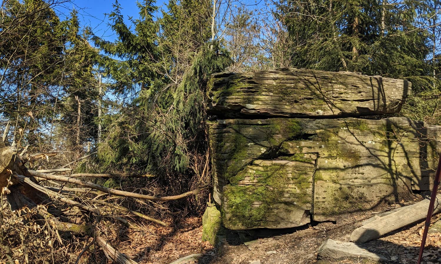
During World War II, partisan camps were located on the slopes of Mogielica. A German Heinkel plane also crashed here, and the partisans dismantled the necessary weapons from it.
Medium
From Jurków to Mogielica - the blue trail

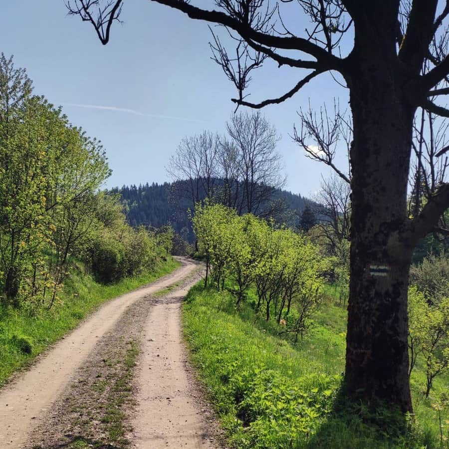
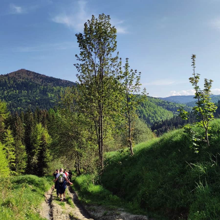
The same length (3.5 km) has the green trail from E. Rydz-Śmigły Pass in Chyszówki, but the hike takes a bit longer, about 2 hours, due to a greater elevation difference (almost 500 m). However, you will be rewarded with a convenient parking lot and beautiful views along the way (Polana Wyśnikówka).
Medium
The Green Trail to Mogielica from "Rydza Śmigłego" Pass

Medium
Yellow trail to Mogielica from Chyszówki-Słopnice road

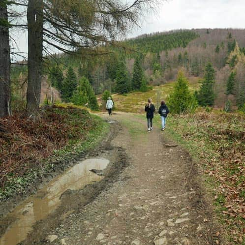
The longest, yellow trail from Rzek, through Jasień and Kutrzycę, leads through this one of the most picturesque meadows in the Beskids.
However, you don't have to hike the entire route (11 km one way) because there are also trails from closer towns that join the main yellow ridge trail: from Łętowe (green trail through Kiczora and Kobylica), from Półrzeczki (green trail), from Szczawa-Białe (green trail), and from Szczawa-Bukówka (blue trail). Here are the descriptions of selected trails:
Green trail from Półrzeczki
Medium
Szczawa Bukówka - Mogielica: blue trail

Green trail from Szczawa-Białe
Medium
To Mogielica from Półrzeczki

Route - loop to Mogielica
Medium
Białe - Mogielica. Green trail through Polana Wały

In addition, there is a large parking lot at the pass, a scenic route (including Polana Wyśnikówka along the way), and a gentle descent from the summit on the eastern slopes:
Route: E. Rydz-Śmigły Pass - Słopnice Królewskie | mapa-turystyczna.pl
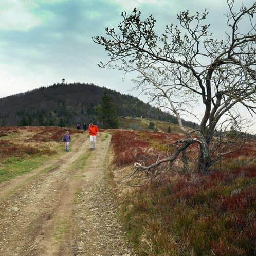
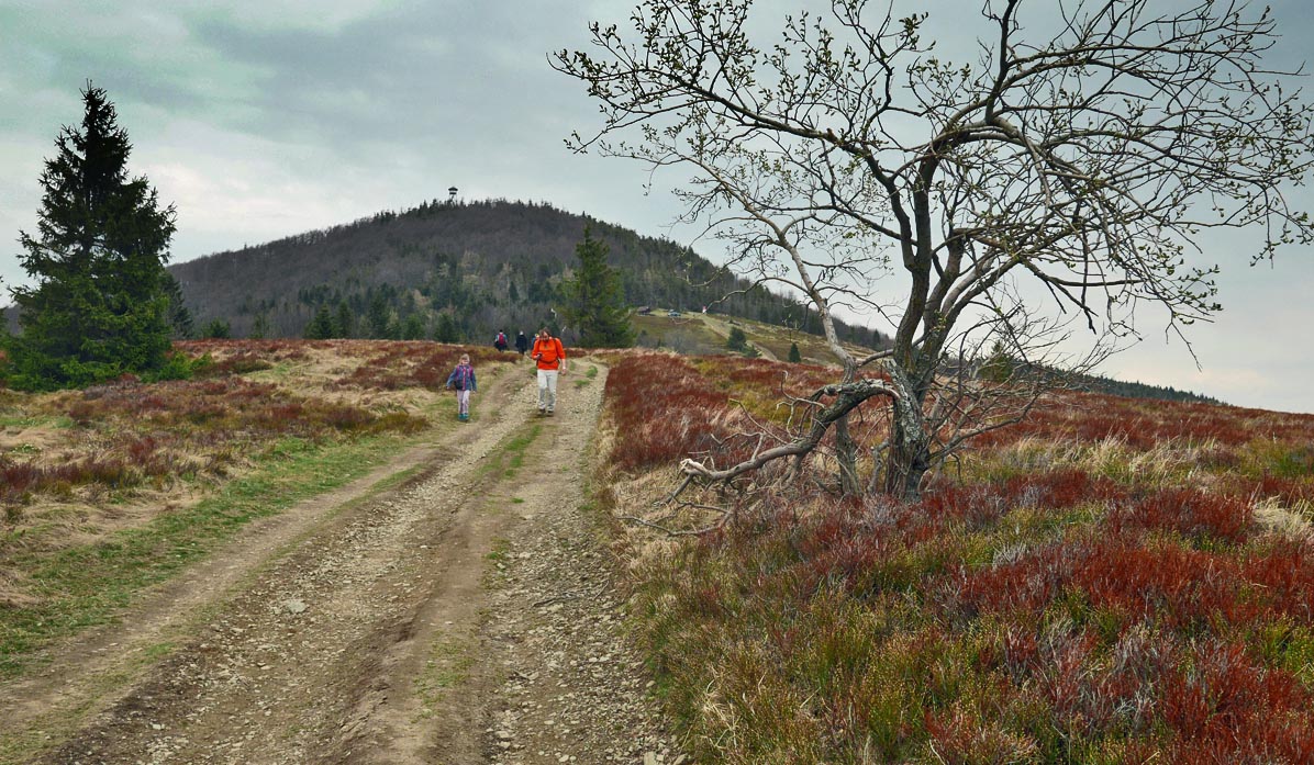
Along the way, you will pass through the scenic Polana Stumorgowa. After descending to Półrzeczki, you can return to Jurków via a peaceful village road (20-30 minutes).
Route: Jurków - Półrzeczki | mapa-turystyczna.pl
Route from: Białe | mapa-turystyczna.pl
The "Large loop" from Słopnice Górne is almost 20 km:
The "Small loop" from Wyrębice is only 12 km:

Publish Date:
Last Updated: