From Jurków to Mogielica - the blue trail
Nearby: Mszana Dolna| Distance | 6.0km |
|---|---|
| Time | 3h 13min |
| Ascents | 691m |
| Descents | 128m |
beach_access Route in the shade
directions_car Access by car
directions_bus Can be reached by bus
The blue trail to Mogielica from Jurków is one of the most popular routes to the highest peak of the Beskid Wyspowy mountains. It is not the shortest or easiest trail (at the end, there are very steep, narrow, and rocky sections), but Jurków offers the easiest access to parking spaces, gastronomic facilities (restaurants, pubs, and shops), and accommodations for tourists from outside Poland.
Starting Point of the Blue Trail to Mogielica
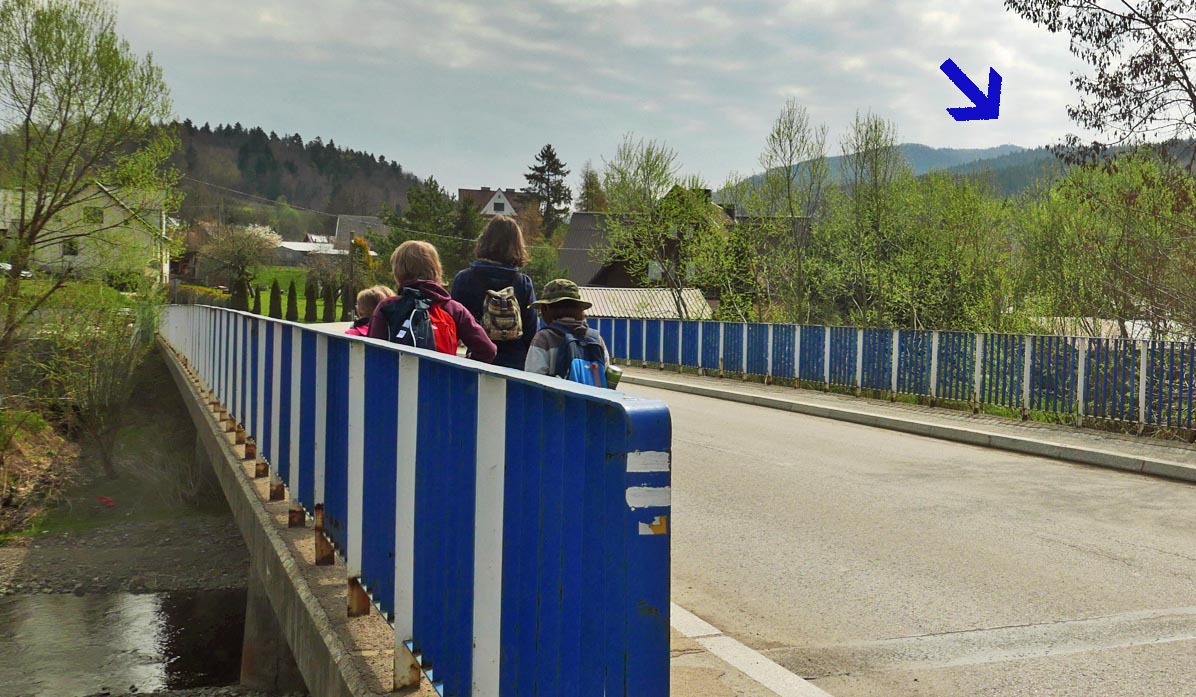
The trail starts in the center of Jurków, next to the church. There is a spacious public parking lot available for free. Additionally, parking spaces can be found near the church and cemetery (north of the church). It is also possible to reach the trail by bus (PKS bus stop near the church).
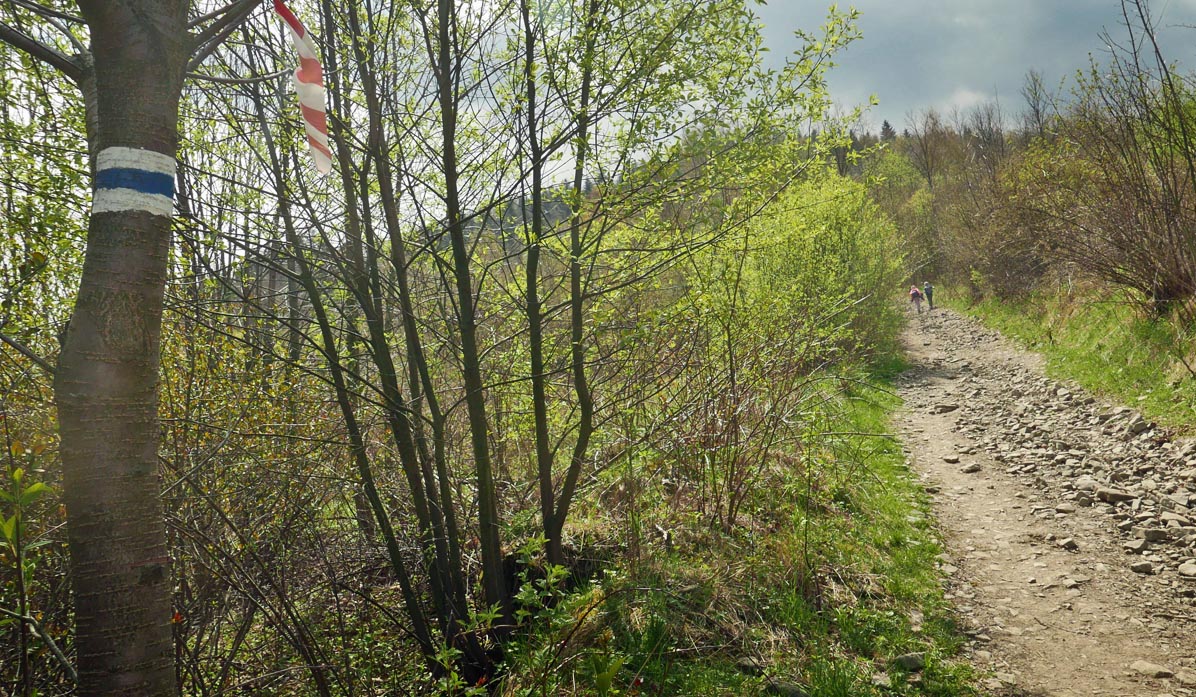
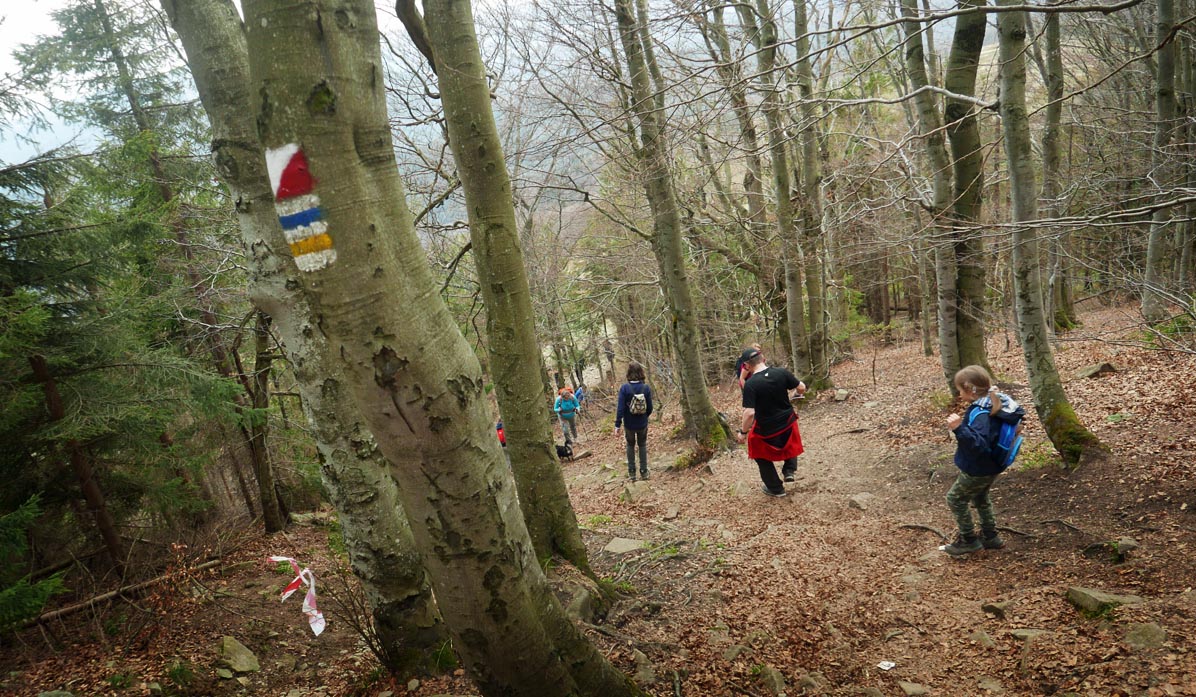
The first section of the hike follows a wide country road through meadows.
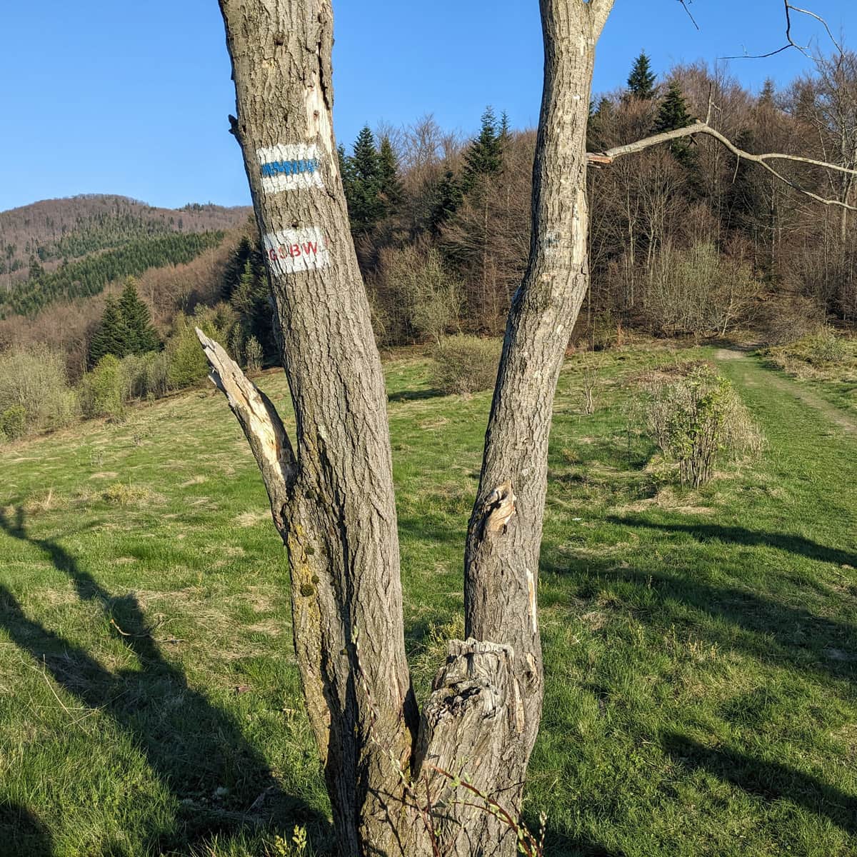
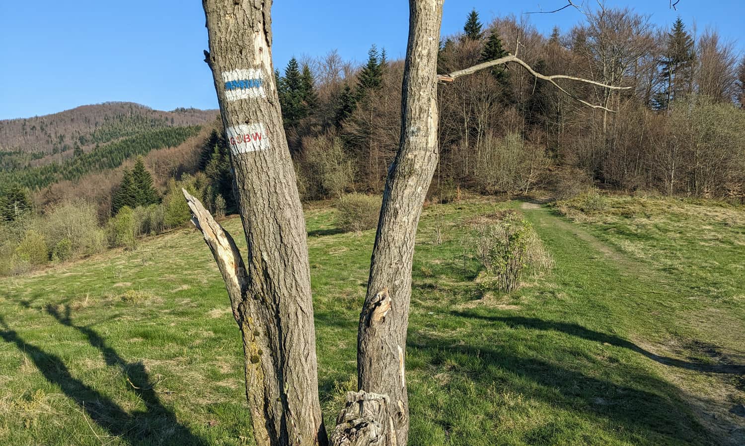
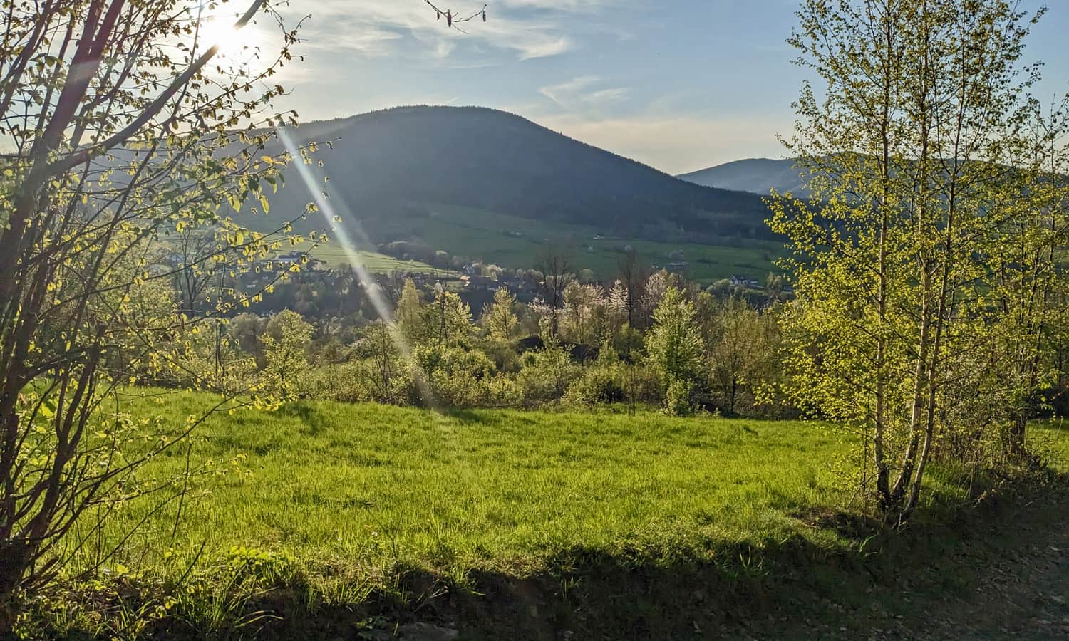
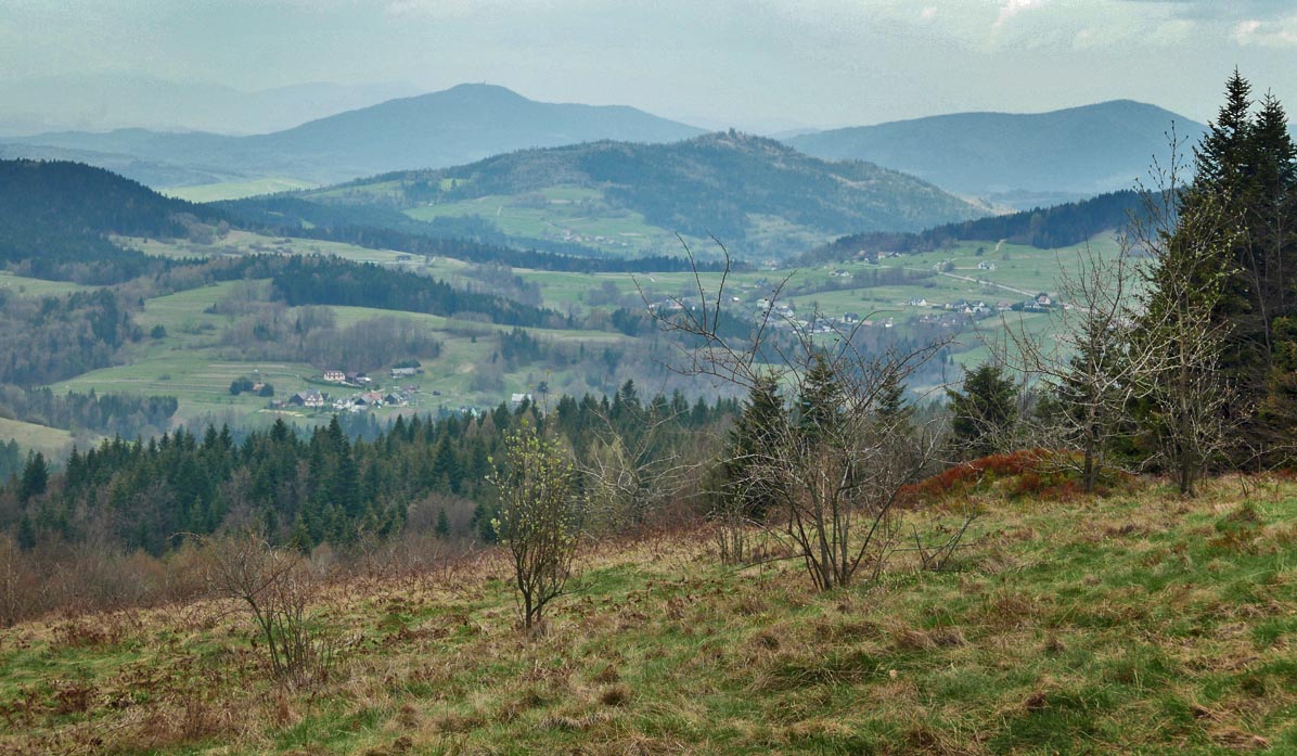
Along the way, it is worth stopping to admire the views that we will leave "behind us":
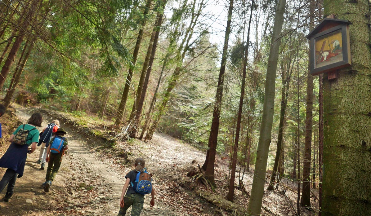
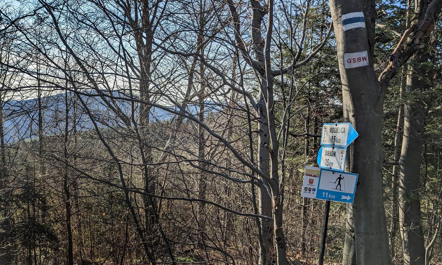
Soon, the trail will lead us into the forest. Pay attention to the roadside chapels with stations of the cross, which help us "measure the distance" and answer the question "how much farther?" (the final 14th station is, of course, at the summit).
Trail to Mogielica - Scenic Meadow at Cyrla
A longer break is worth planning at the scenic meadow called Cyrla. Note that the first meadow, with a wooden hut and young beech trees, is not the one! It is worth walking a bit further through the forest to reach the vast meadow with views of the east and west.
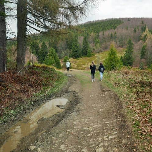
Soon, we will cross a wide ski trail...
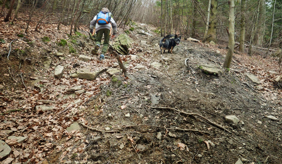
...and then we will begin a quite difficult steep ascent:
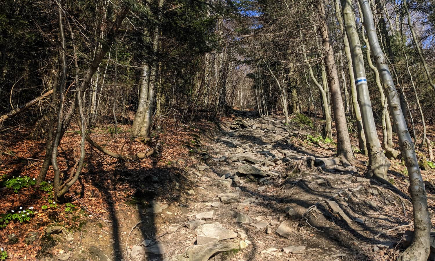
The most challenging part will be the last few meters: steep, narrow, and rocky - it will be quite a challenge for little legs (both going up and coming down!).
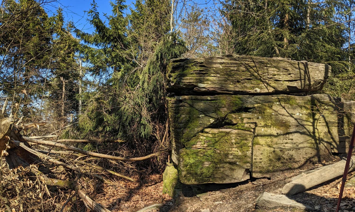
Zbójnicki Stół under Mogielica
Just below the summit, where the green trail from Chyszówki joins, it is worth stopping at an interesting rock formation called Zbójnicki Stół (Bandit's Table). According to legend, this is where local bandits divided their loot. Allegedly, they also hid their treasures in the mysterious caves and grottoes on the slopes of Mogielica.
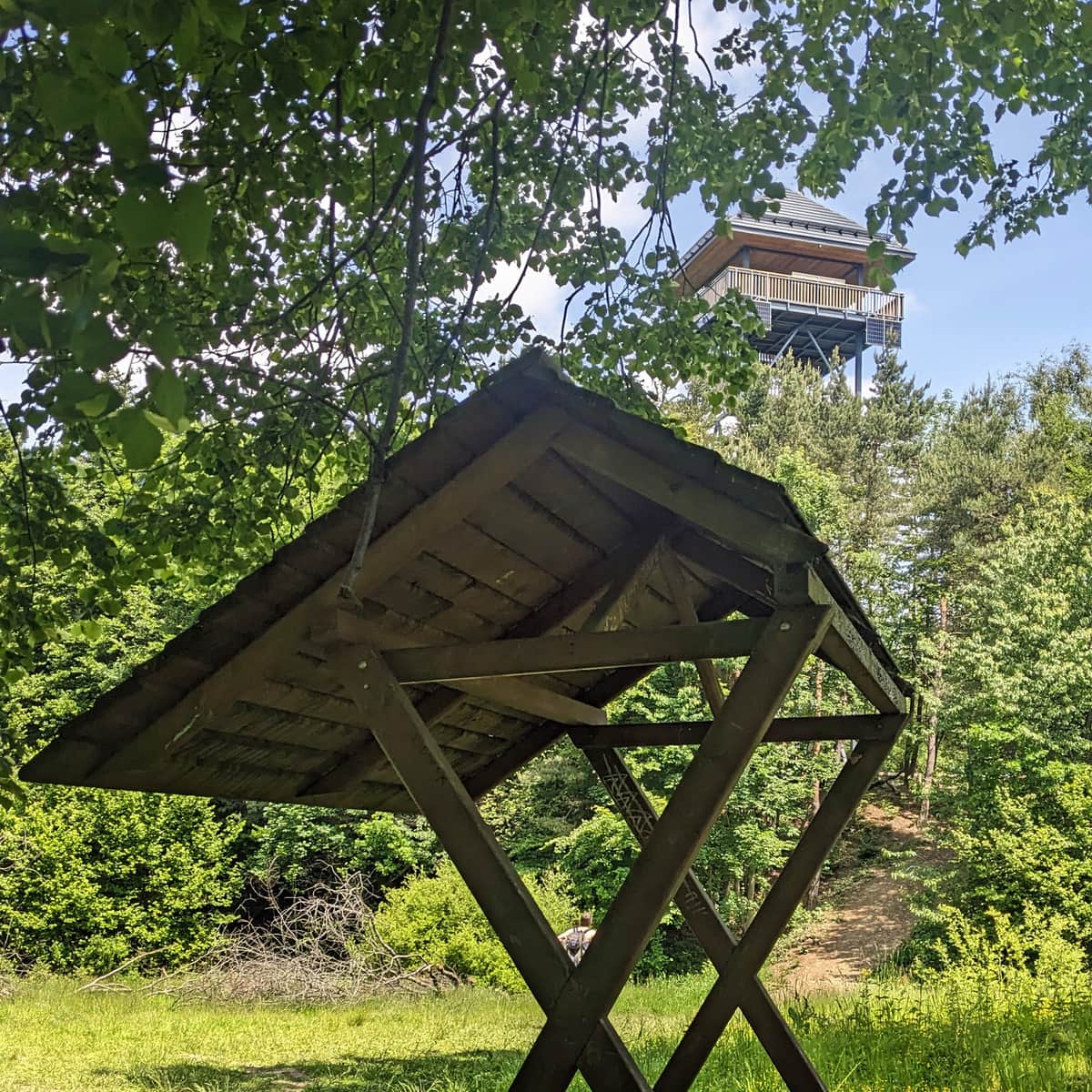
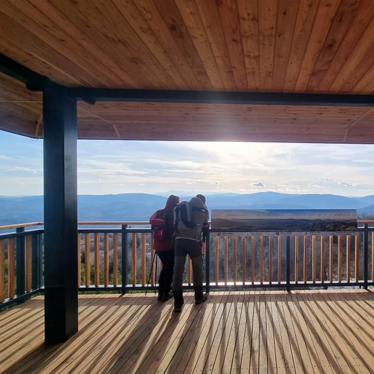
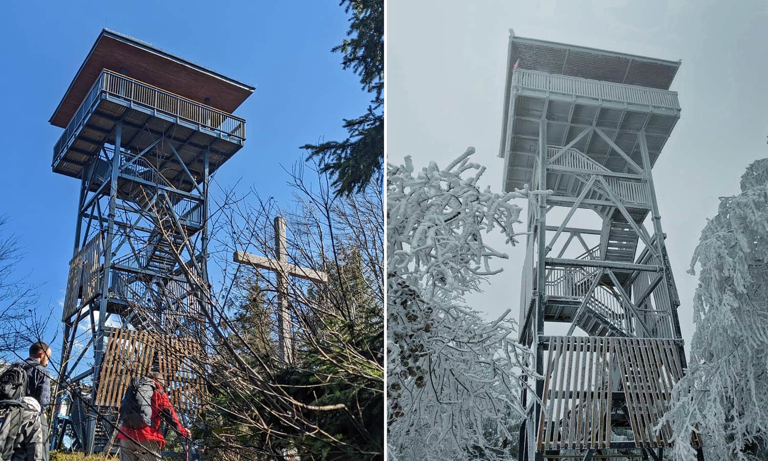
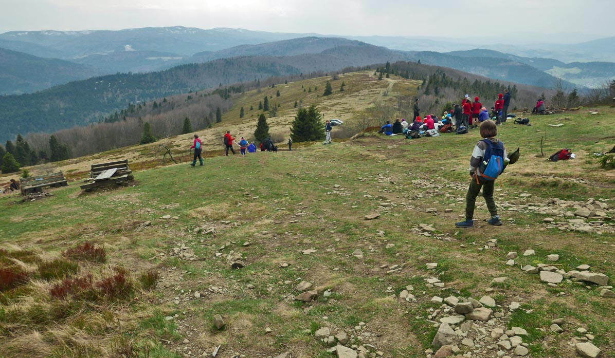
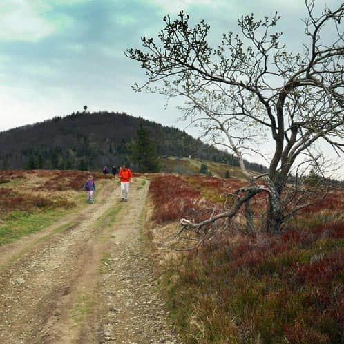
Mogielica Summit at 1170 meters above sea level - lookout tower
After a challenging climb, we will reach a forested summit with a brand-new lookout tower. There is also an opportunity to stamp a commemorative stamp (a box on the sign with the name of the summit).
The observation deck offers breathtaking panoramas in all four directions:
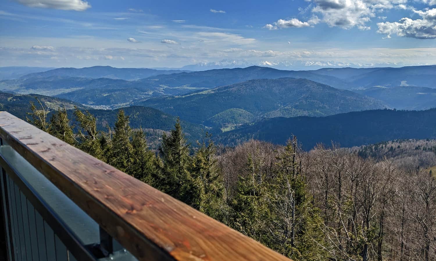
After visiting the tower, it is worth walking a few meters further to a small scenic clearing with a papal cross - from here, we can also see the Tatra Mountains!
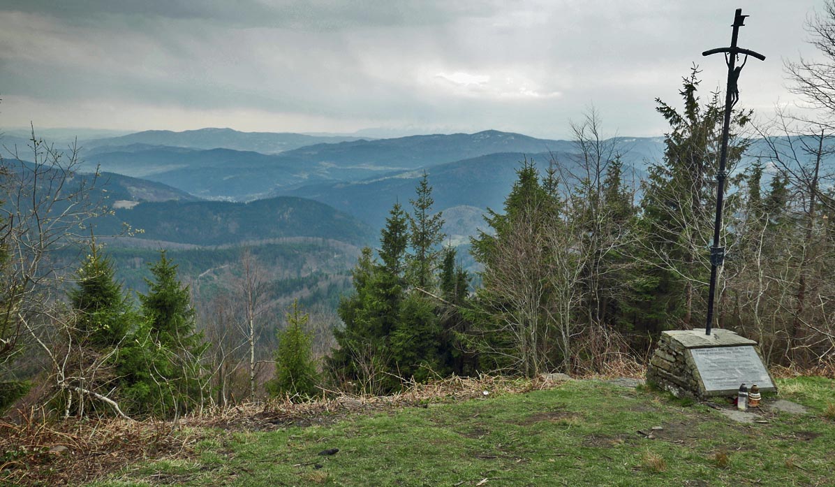
Stumorgowa Meadow under Mogielica
For the most beautiful views, we can continue descending from the summit along the blue trail to Stumorgowa Meadow.
Here, we will find a vast open space and a wide panorama!
Return from the Summit
We can return to the starting point of the trail using the same path, the blue trail (approximately 1.5 hours, remembering the steep descent...). If we want to avoid the steepest descent from the summit (and not return to the summit from Stumorgowa Meadow), we can head straight from the meadow onto an unmarked forest road - the one that branches off from the yellow trail opposite the departure of the red educational path. Soon, we will reach the blue trail via the wide forest road. This bypass is marked on the map.
Alternatively, we can make a loop by taking the yellow trail from Stumorgowa Meadow to Krzysztonów, descending via the green trail to Półrzeczki, and returning approximately 2 kilometers on an asphalt road to Jurków. The descent from Mogielica to Półrzeczki and the walk to Jurków will take about 2.5 hours in total.
Medium
To Mogielica from Półrzeczki

Other Trails to Mogielica
Mogielica: trails, routes, and loops
Mogielica is the highest peak of the "Beskid Wyspowy" , part of the Crown of Polish Mountains (1170 meters above sea level). At the prominent and quite steep summit, there is a new observation tower. The nearby Polana Stumorgowa is also famous for its beautiful views. ...

Publish Date:
Last Updated: