To Mogielica from Półrzeczki
Nearby: Mszana Dolna| Distance | 7.3km |
|---|---|
| Time | 3h 45min |
| Ascents | 773m |
| Descents | 187m |
beach_access Route in the shade
directions_car Access by car
directions_bus Can be reached by bus
Półrzeczki - Mogielica via: green and yellow trail through Krzysztonów
This is one of the many routes leading to Mogielica - the highest peak of the Beskid Wyspowy mountain range. Compared to other paths, this trail is less frequented, longer, but without very steep ascents (except for the last section, just below the summit). Its advantage is that it passes through an incredibly picturesque and scenic meadow called Polana Stumorgowa below Mogielica.
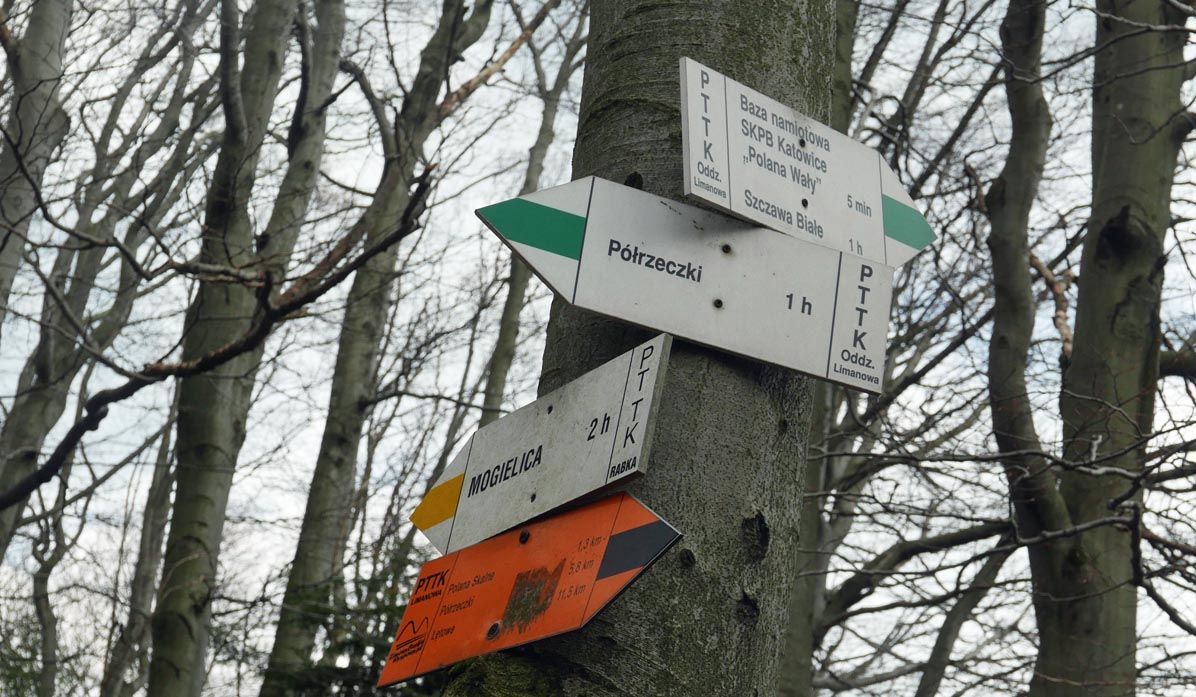
Starting point of the trail to Mogielica in Półrzeczki
Półrzeczki is a small village south of Jurków. Buses go there, but it is most convenient to reach by car. There is no parking right at the beginning of the green trail, but you can leave your car on the side of the road.
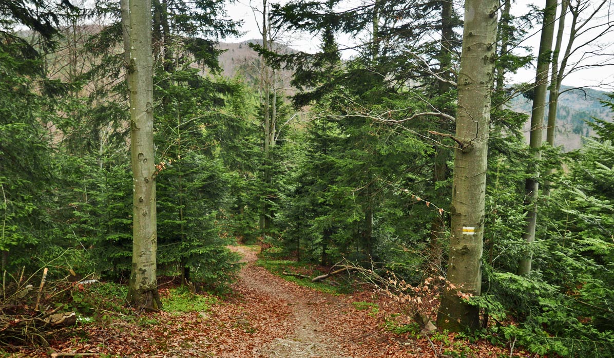
Green trail from Półrzeczki to Krzysztonów
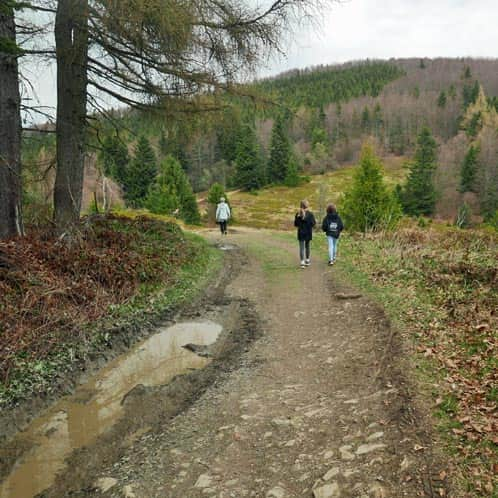
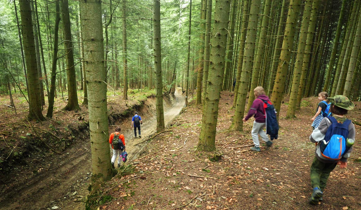
This is the first stage of our route. Initially, we walk along a wide road along the stream, passing farms and buildings.
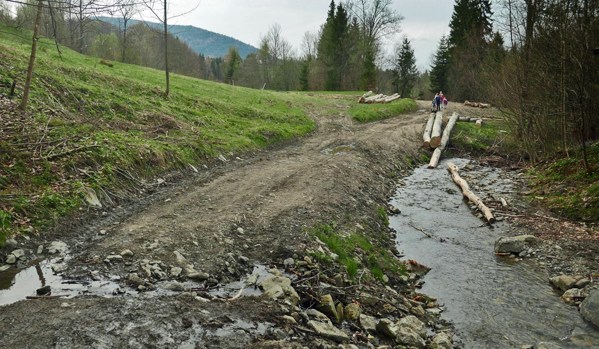
Perhaps due to the close proximity of the stream, or perhaps due to road damage caused by timber transport, the road can be muddy and puddle-filled, especially after spring thaws and heavy rainfall.
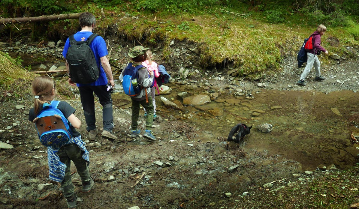
We will also have to "jump" over a small stream:
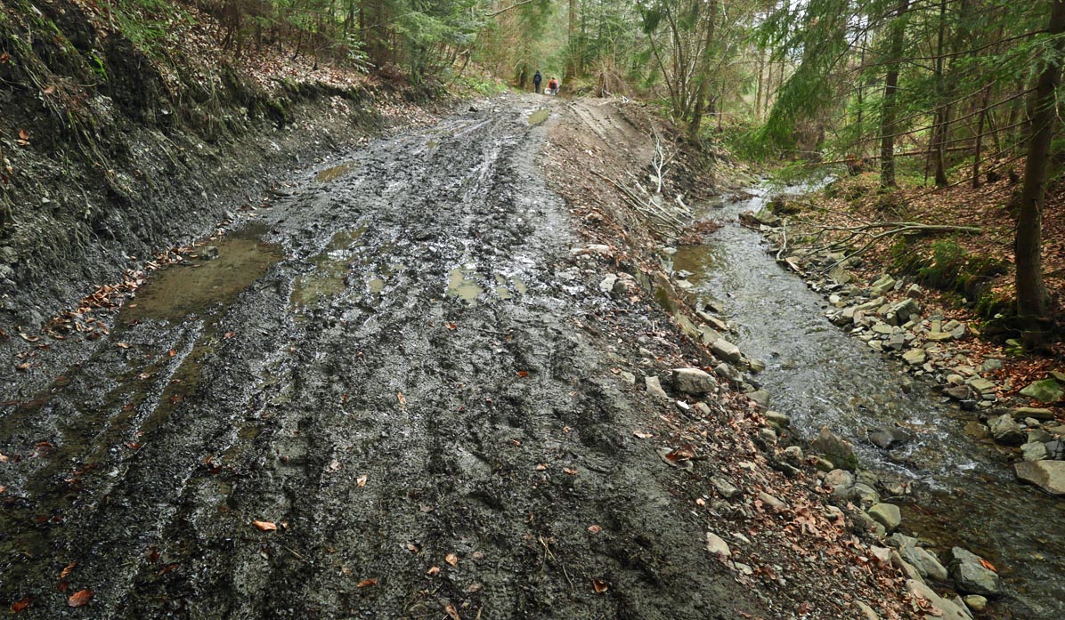
Then we climb through a forest ravine. When the lower road is muddy, you can take the upper path:
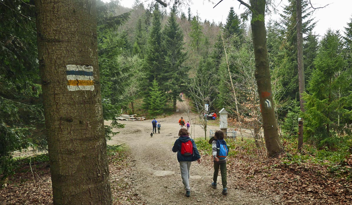
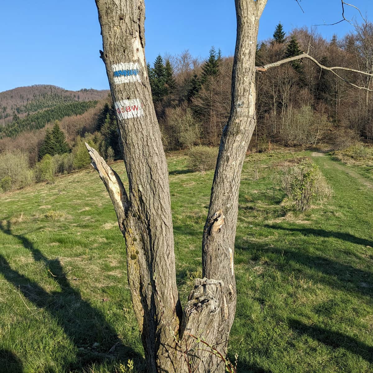
After about 1.5 hours of climbing, we will reach a junction with the yellow trail - we turn left towards the summit of Krzysztonów.
Krzysztonów and the yellow trail to Mogielica
We are already halfway to the summit! In the meantime, we will pass the peaks of Krzysztonów and Mały Krzysztonów and take a break from climbing for about half an hour.
The break will last until we merge with the blue trail at Przełęcz pod Małym Krzysztonowem (Pass below Mały Krzysztonów).
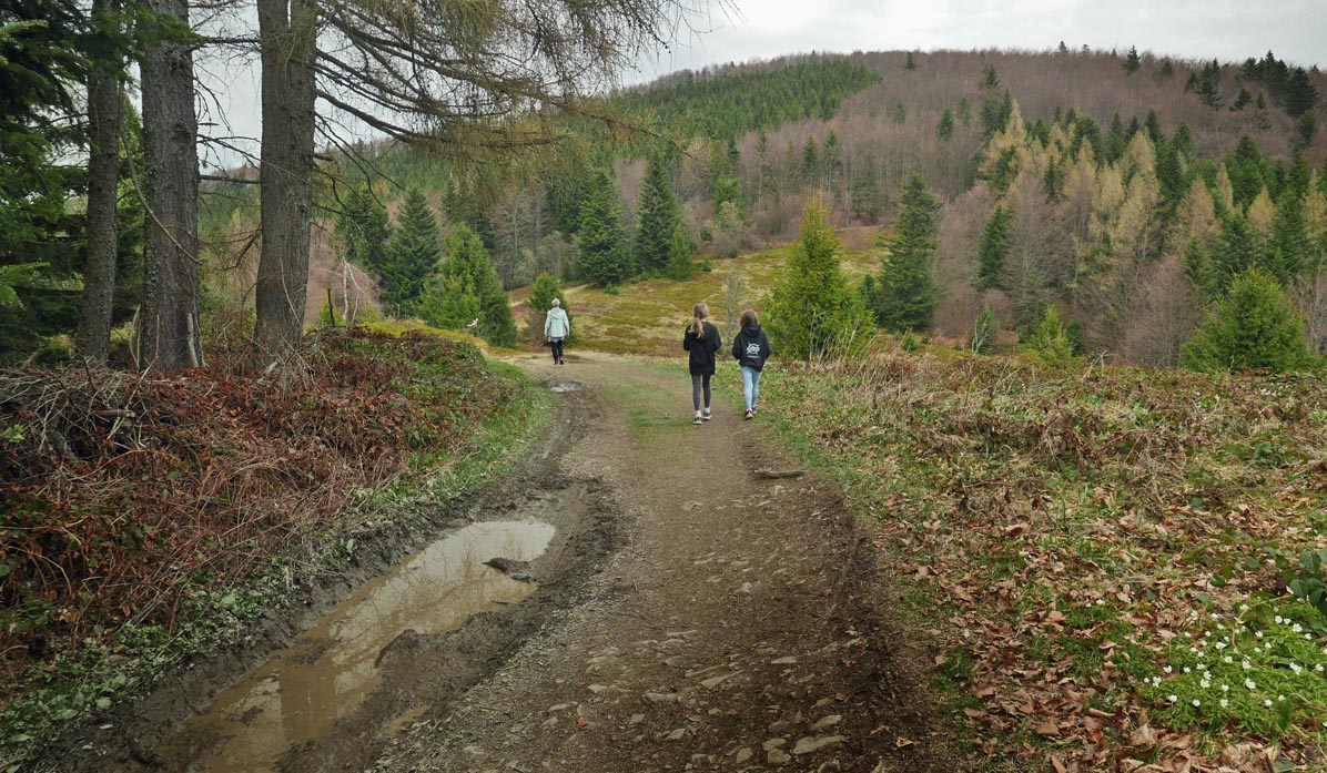
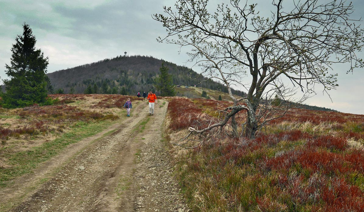
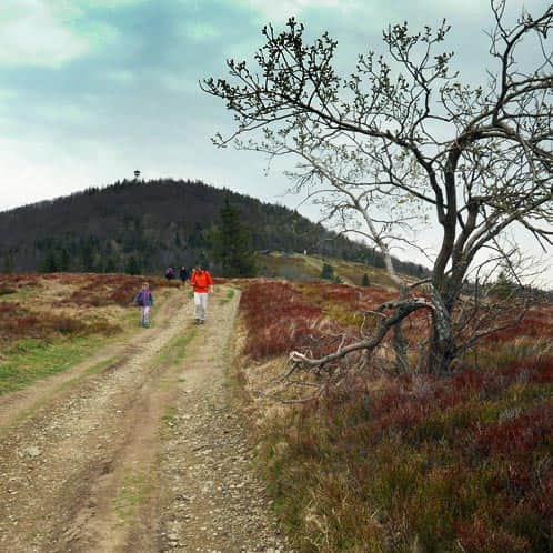
Blue-yellow trail to Mogielica via Polana Stumorgowa
Ahead of us is the final hour of climbing. Along the forest path, we pass through small clearings - the summit is still ahead of us!
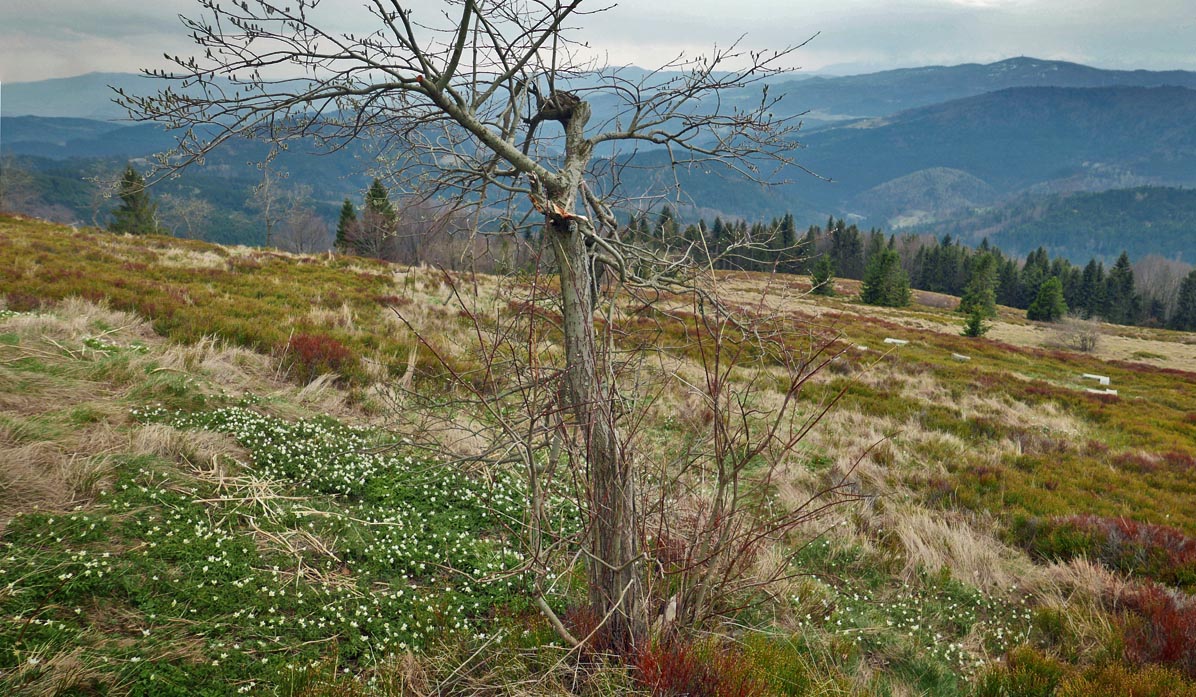
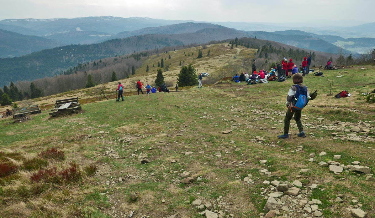
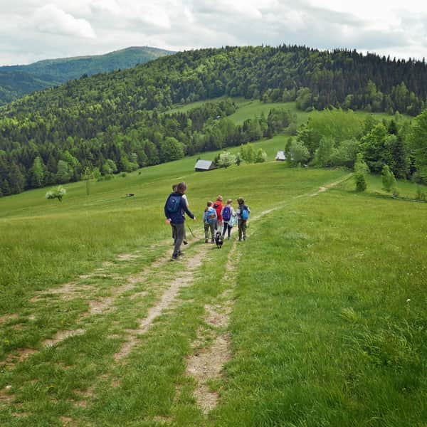
Polana Stumorgowa below Mogielica
Just before the summit, we reach an incredibly scenic meadow below Mogielica called Polana Stumorgowa.
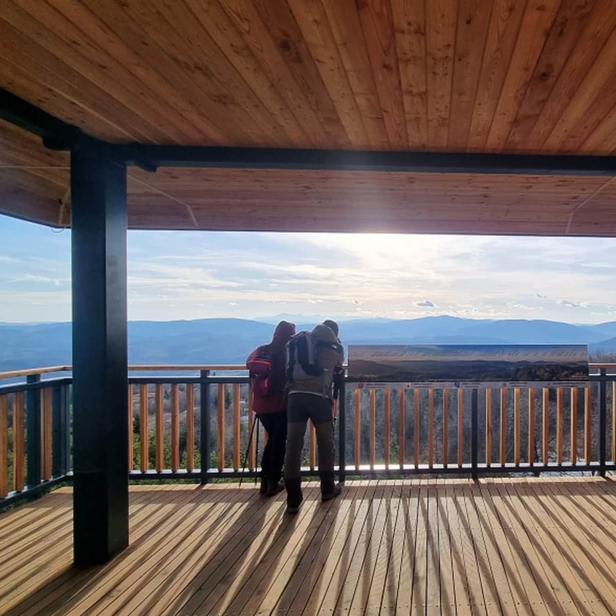
It is really worth stopping here for a while and enjoying the panorama on three sides of the world: the surrounding peaks of the Beskid Wyspowy, as well as the Gorce and Tatra Mountains. In the distance, we can also see the summit of Babia Góra.
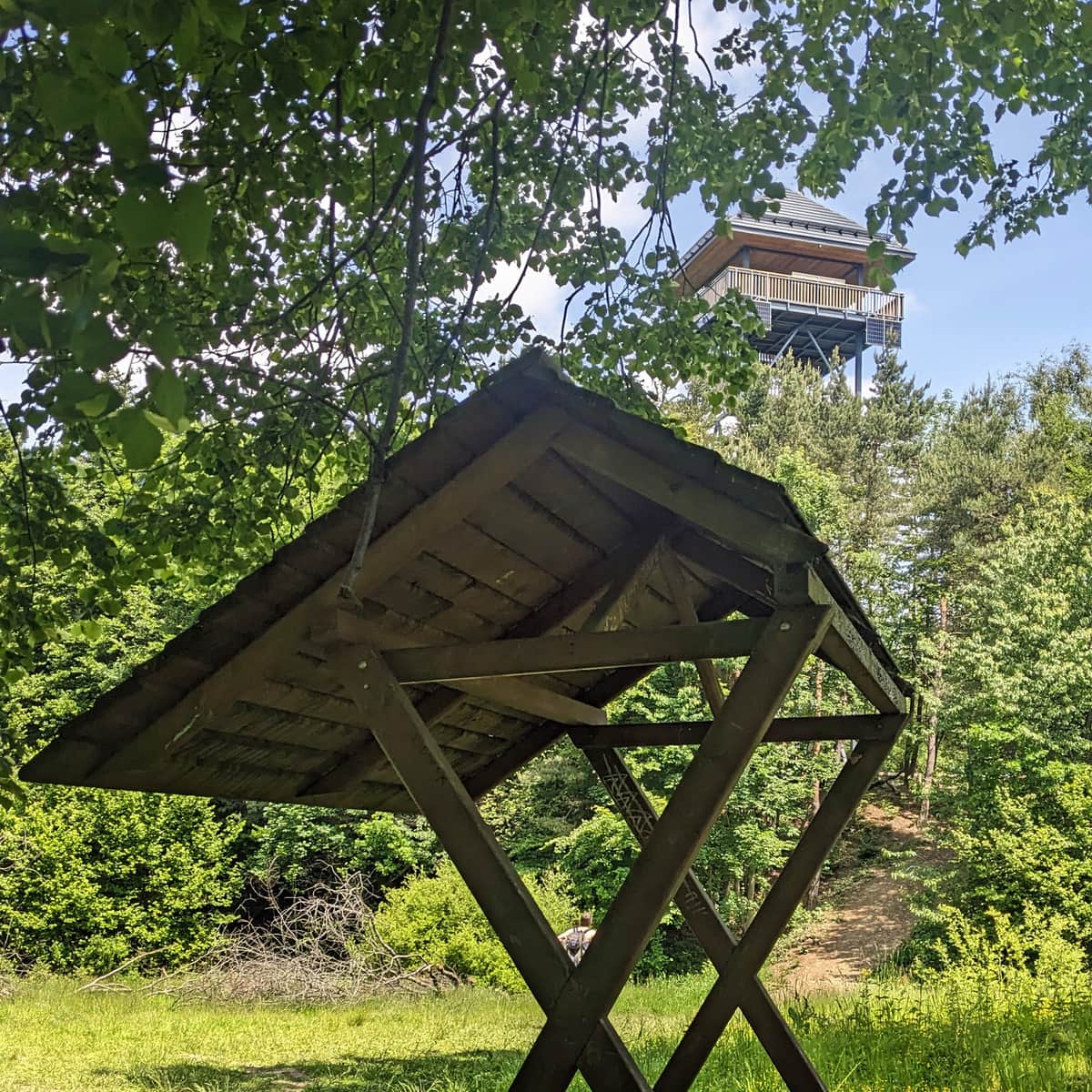
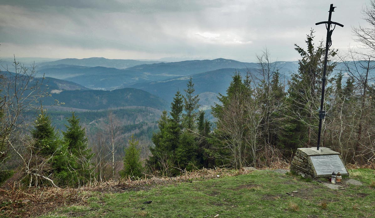
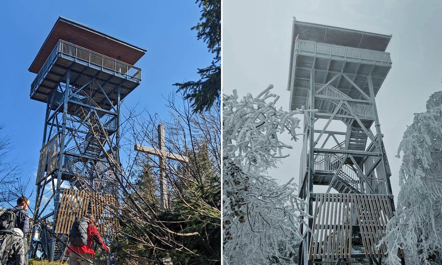
Mogielica - summit and new observation tower
A fairly steep but wide road leads to the summit. Just before the peak, it is worth turning right to a small clearing with a papal cross.
On the forested summit, there is a new observation tower! (and a box with a souvenir stamp).
Return route
We can return the same way (about 2 hours) or, for a change, descend via the blue trail to Jurków (about 1.5 hours). Attention! The beginning of the descent on the blue trail is very steep! If you want to return via the blue trail but avoid the steepest descent from the summit, you can return to Polana Stumorgowa and take an unmarked forest road - the one that branches off from the yellow trail opposite the red trail. Soon, we will reach the blue trail.
After descending to Jurków, we will have about 2 km on asphalt to return to the starting point in Półrzeczki (additional 30-40 minutes), and with a bit of luck, we can take a bus:
Medium
From Jurków to Mogielica - the blue trail

Other trails to Mogielica
...and a handful of interesting facts about the highest peak of the Beskid Wyspowy:
Mogielica: trails, routes, and loops
Mogielica is the highest peak of the "Beskid Wyspowy" , part of the Crown of Polish Mountains (1170 meters above sea level). At the prominent and quite steep summit, there is a new observation tower. The nearby Polana Stumorgowa is also famous for its beautiful views. ...
PS. This route has been included in our article "Beskid Wyspowy - 3 most beautiful scenic trails". Would you like to know about the others?
Beskid Wyspowy: 3 Most Beautiful Scenic Trails
Beskid Wyspowy is a range of the Beskids located southeast of Krakow, between the valleys of the Raba and Dunajec rivers, from Mszana Dolna to Limanowa. The hills are mostly forested, yet there are plenty of scenic spots and even scenic trails to be found here! ...