Szczawa Bukówka - Mogielica: blue trail
Nearby: Limanowa| Distance | 5.9km |
|---|---|
| Time | 3h 2min |
| Ascents | 627m |
| Descents | 41m |
beach_access Route in the shade
directions_car Access by car
The blue trail from Szczawa Bukówka to Mogielica leads us to the highest peak of the Beskid Wyspowy from the south, through the incredibly picturesque Stumorgowa Glade in the Kamienica Valley. The route offers stunning views and is relatively less crowded.
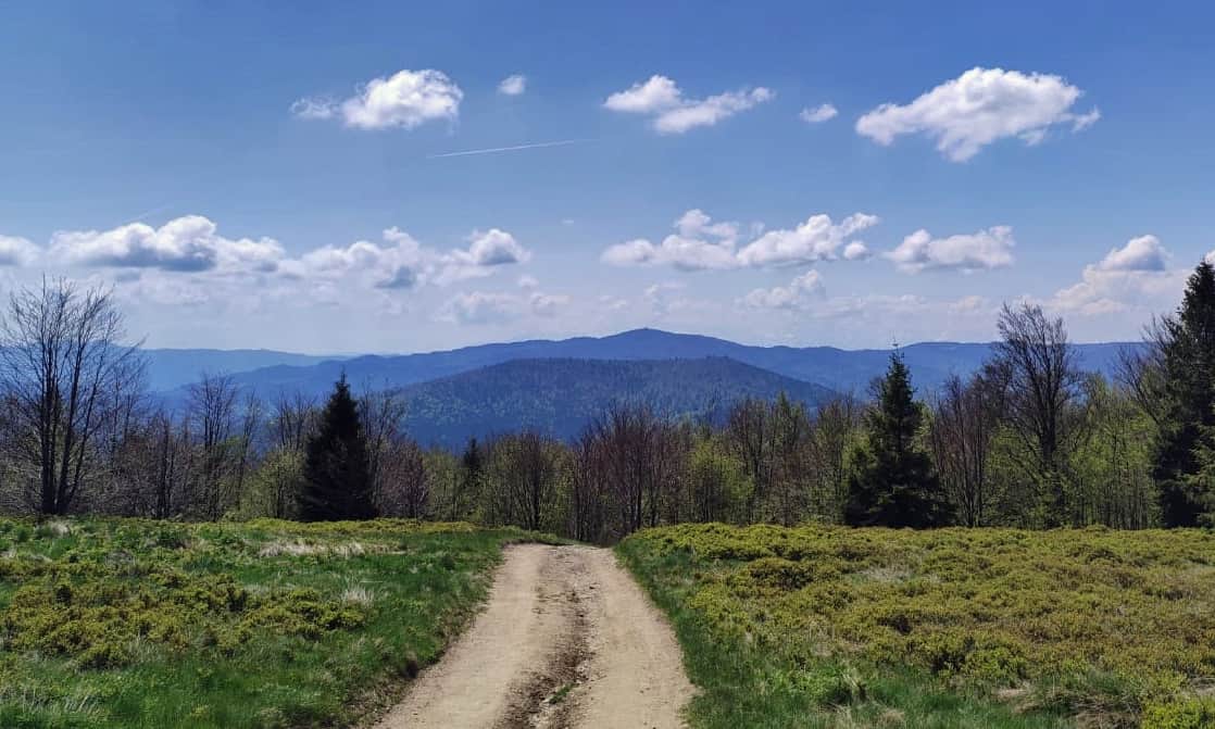
Starting point of the blue trail to Mogielica in Szczawa - Bukówka
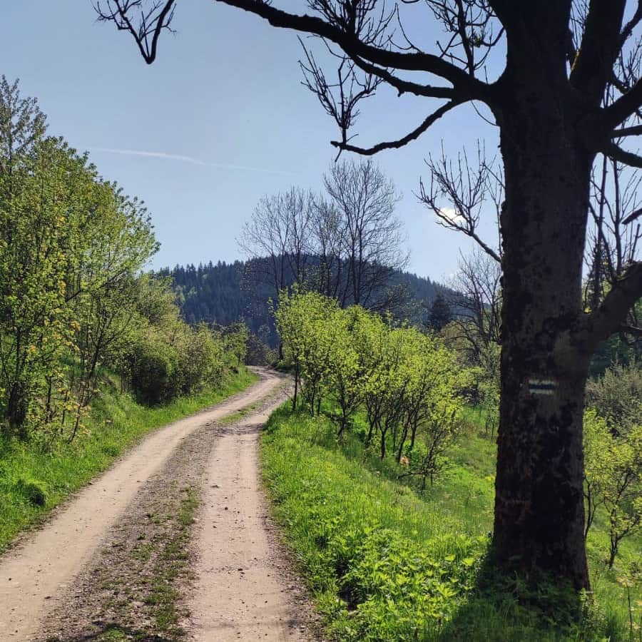
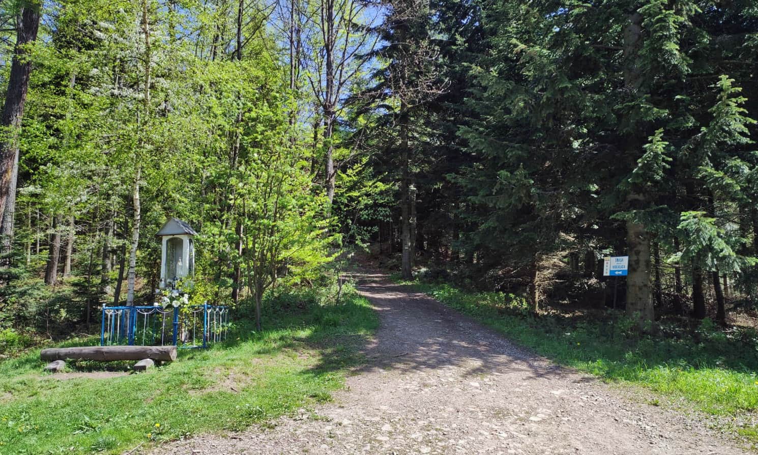
The blue trail starts in Szczawa (...and leads all the way to Krakow!). If we want to hike to Mogielica using this trail, it is best to start the hike in the hamlet of Szczawa - Bukówka. This way, we can avoid walking along the asphalt road for 3 km and enter the forest directly. Near the Bukówka hamlet, you will find the largest waterfall on the Kamienica River - Spad. There is a small parking lot and bus stops along the main road next to Kamienica.
Hiking to Mogielica from Bukówka on the blue trail
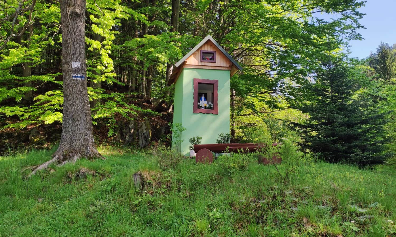
At the beginning of our hike, we pass through the Berkówka and Świstak neighborhoods. Along the way, we come across a charming little chapel:
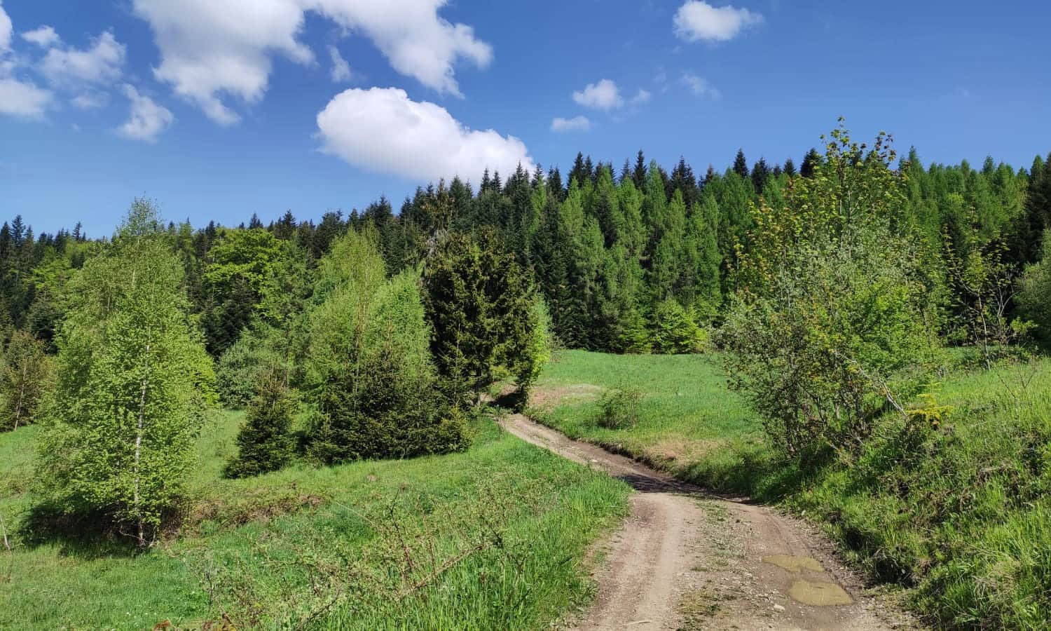
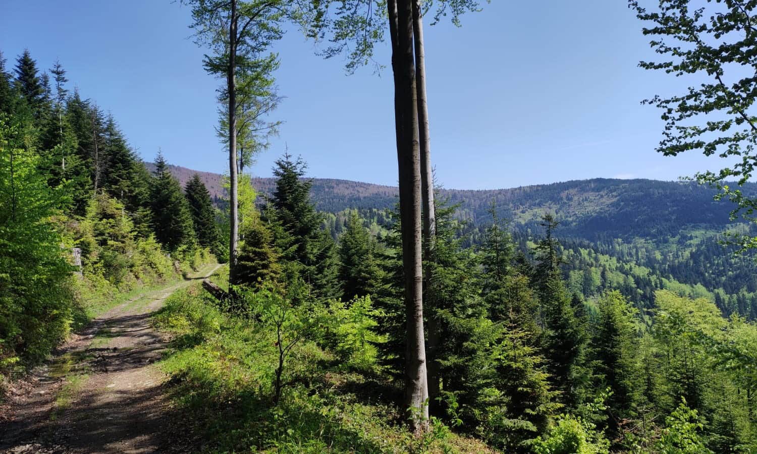
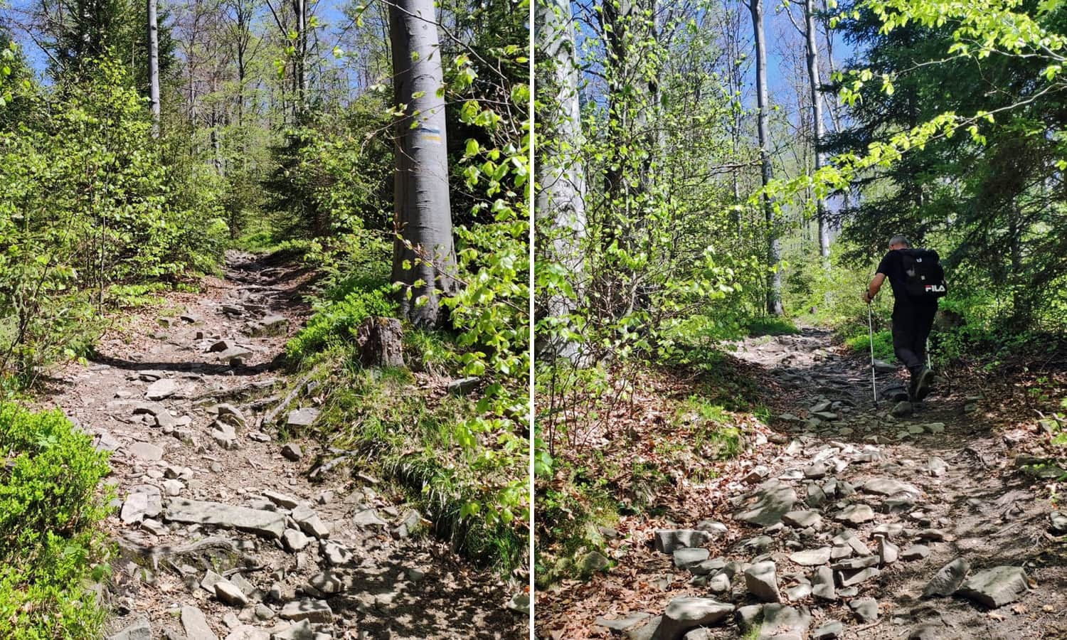
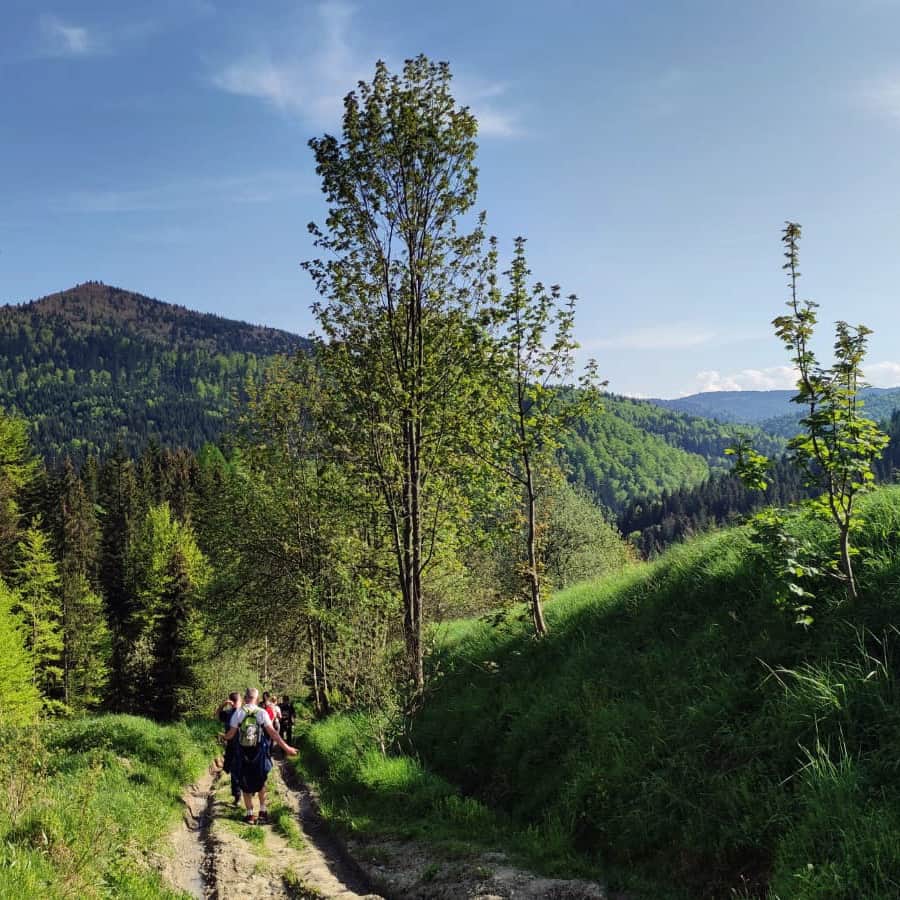
The blue trail leads us comfortably through the forest, ascending through wide bends to the ridge near Krzystonowe.
At the chapel (with benches - a good place to rest!), the blue trail merges with the yellow markings from Przysłop Pass.
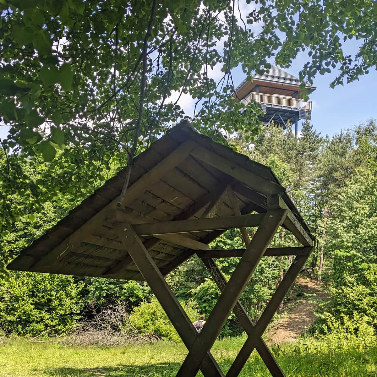
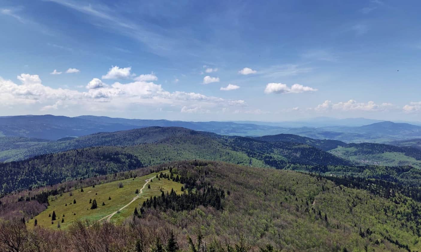
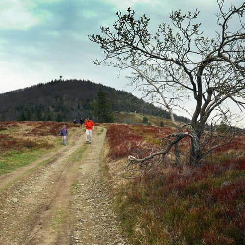
After a short climb, we reach the edge of the most beautiful glade in the Beskid Wyspowy - Stumorgowa Glade, where we see the goal of our hike: the summit of Mogielica with its observation tower!
Stumorgowa Glade below Mogielica - the views
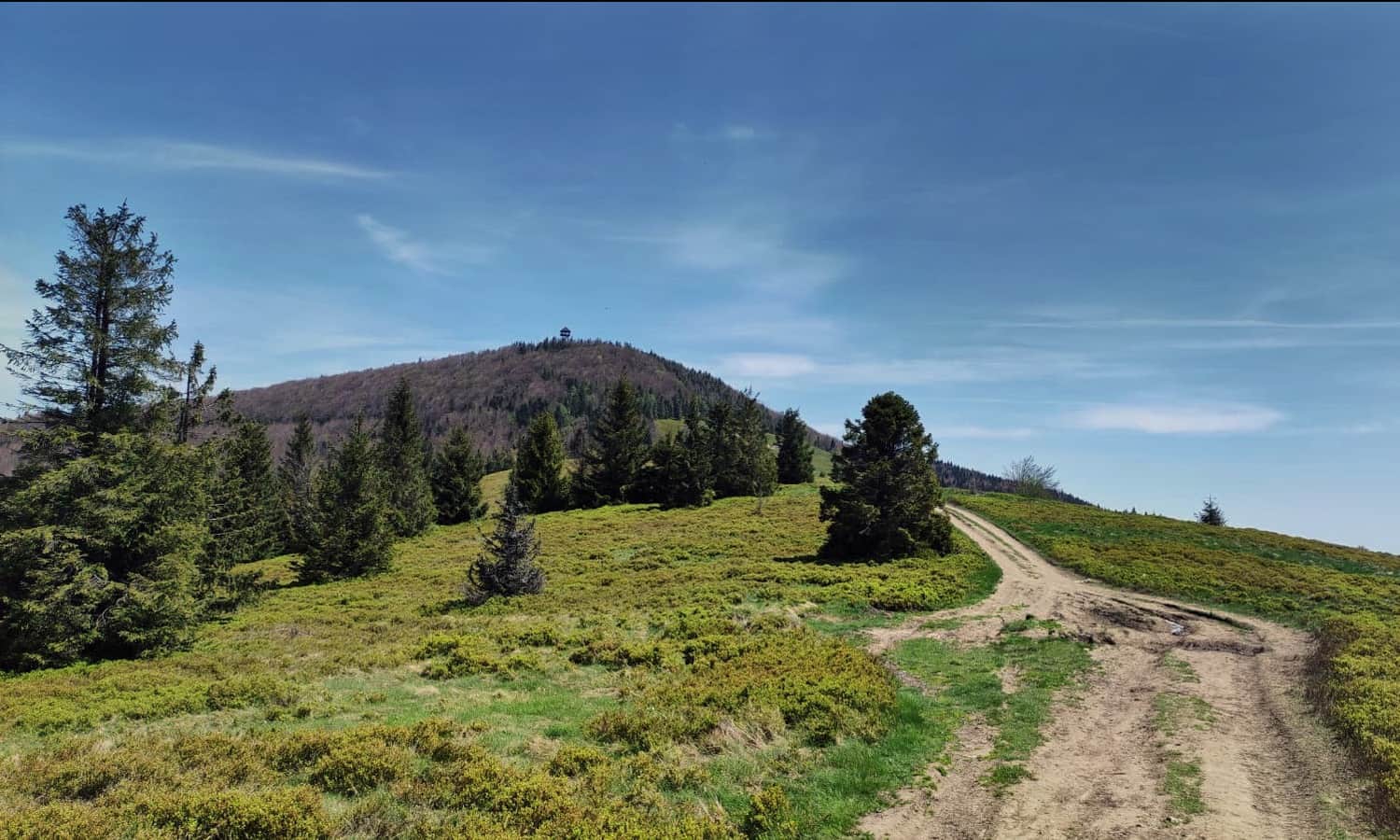
The glade below Mogielica, known as "Stumorgowa," is one of the most beautiful places in the Beskid Wyspowy. It is worth going higher, closer to the edge of the forest, where you will find benches, a shelter, and a resting area. From here, you can enjoy a panoramic view: from the neighboring Gorce Mountains to the forested hills of the western part of the Beskid Wyspowy, all the way to the Tatra Mountains on the horizon.
...and to the summit of Mogielica
From Stumorgowa Glade, we face a fairly steep ascent on a path with loose stones. It won't be easy, but fortunately, not very long either. After about 15 minutes, we should find ourselves at the foot of the tower.
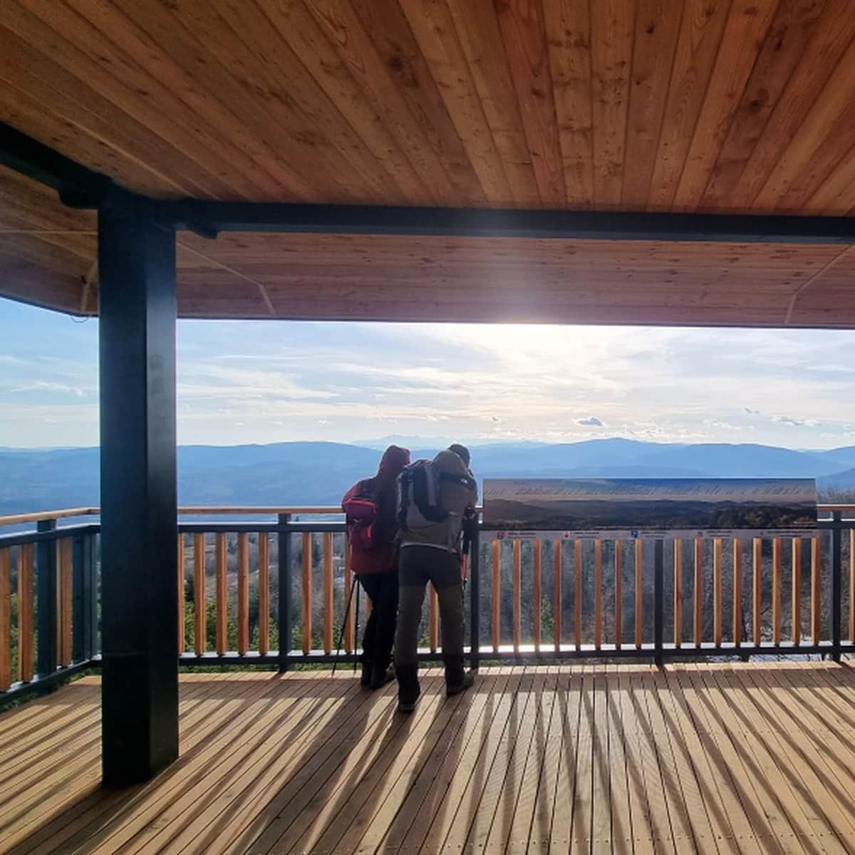
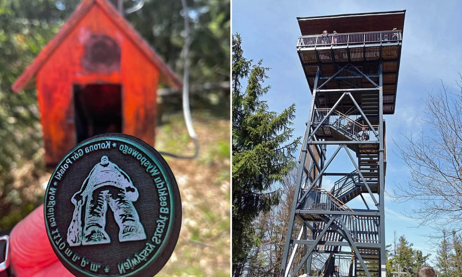
Mogielica summit (1170 m above sea level) is covered in trees (through a small window, you can catch a glimpse of the northeastern part of the Beskid Wyspowy). It is even more worthwhile to take advantage of the opportunity to admire the panoramic view in all four directions from the observation deck!
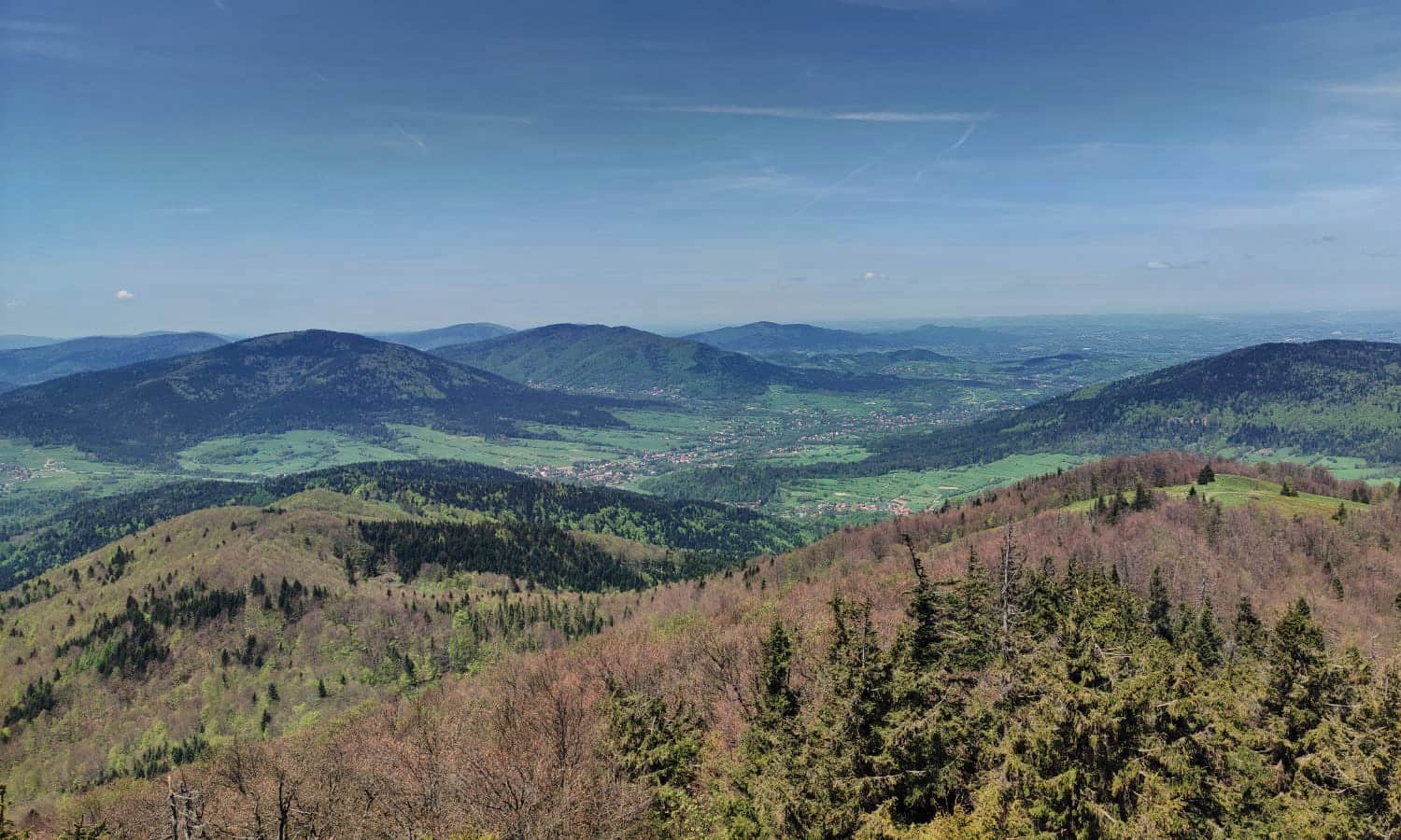
If, for various reasons, you do not feel like climbing the tower, we recommend walking to a small meadow with a papal cross - from there, you can also see the Tatra Mountains!
Below the tower, there is a place to rest, a box with a stamp, and informational boards.
Return from Mogielica to Bukówka
For the return journey, you can descend the same way (going downhill will take about 1.5 hours), or for a change, take the yellow and green trails to Szczawa - Białe, from where you can return to Szczawa - Bukówka either along the asphalt road or the path along the Kamienica River (about 2 km). Along the way, pay attention to the Spad waterfall on the Kamienica River!
Medium
Białe - Mogielica. Green trail through Polana Wały

You can find information about other trails to Mogielica and interesting facts about the highest peak of the Beskid Wyspowy in the article:
Mogielica: trails, routes, and loops
Mogielica is the highest peak of the "Beskid Wyspowy" , part of the Crown of Polish Mountains (1170 meters above sea level). At the prominent and quite steep summit, there is a new observation tower. The nearby Polana Stumorgowa is also famous for its beautiful views. ...

Publish Date: