Białe - Mogielica. Green trail through Polana Wały
Nearby: Limanowa| Distance | 6.5km |
|---|---|
| Time | 3h 26min |
| Ascents | 729m |
| Descents | 177m |
beach_access Route in the shade
directions_car Access by car
From Szczawa - Białe in the Kamienica Valley, we can hike to Mogielica (1170 m above sea level), the highest peak of the Beskid Wyspowy, by first taking the green trail and then switching to the yellow trail after Polna Wały. The route offers stunning views: it leads through Polana Stumorgowa, and at the top, a new observation tower awaits us!
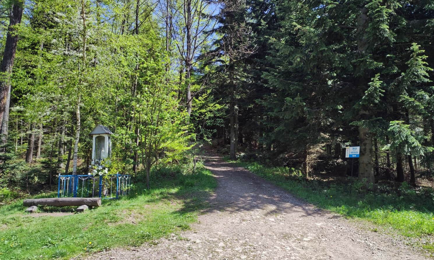
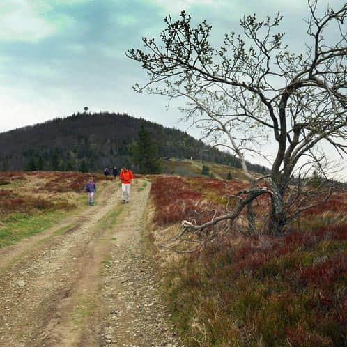
Start of the Green Trail in Szczawa - Białe
Białe is a hamlet in the Kamienica Valley, located above the Biały Potok stream. The settlement is known for being the home of the last local shepherds, including the shepherd from Polana Skalne, Wojciech Opyda, whom you could still meet here at the end of the 20th century. There is a PKS Szczawa-Białe bus stop here.
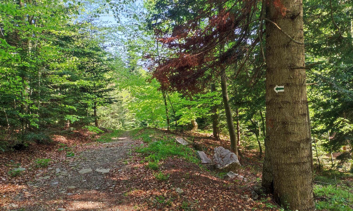
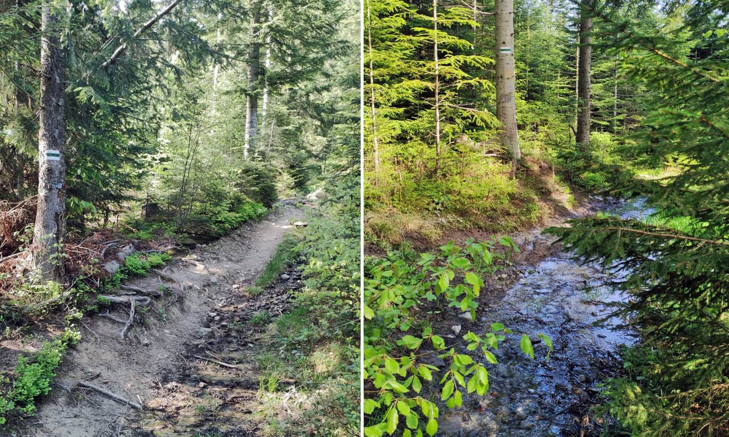
Green Trail to Polana Wały under Krzystonów
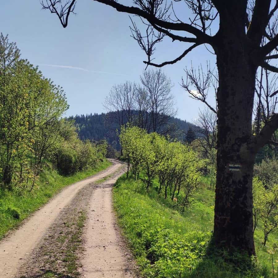
The green trail from Białe initially follows the Biały Potok stream up to the Klince hamlet. Once in the forest, it becomes quite steep in some places, and sometimes there is even a stream flowing along the path!
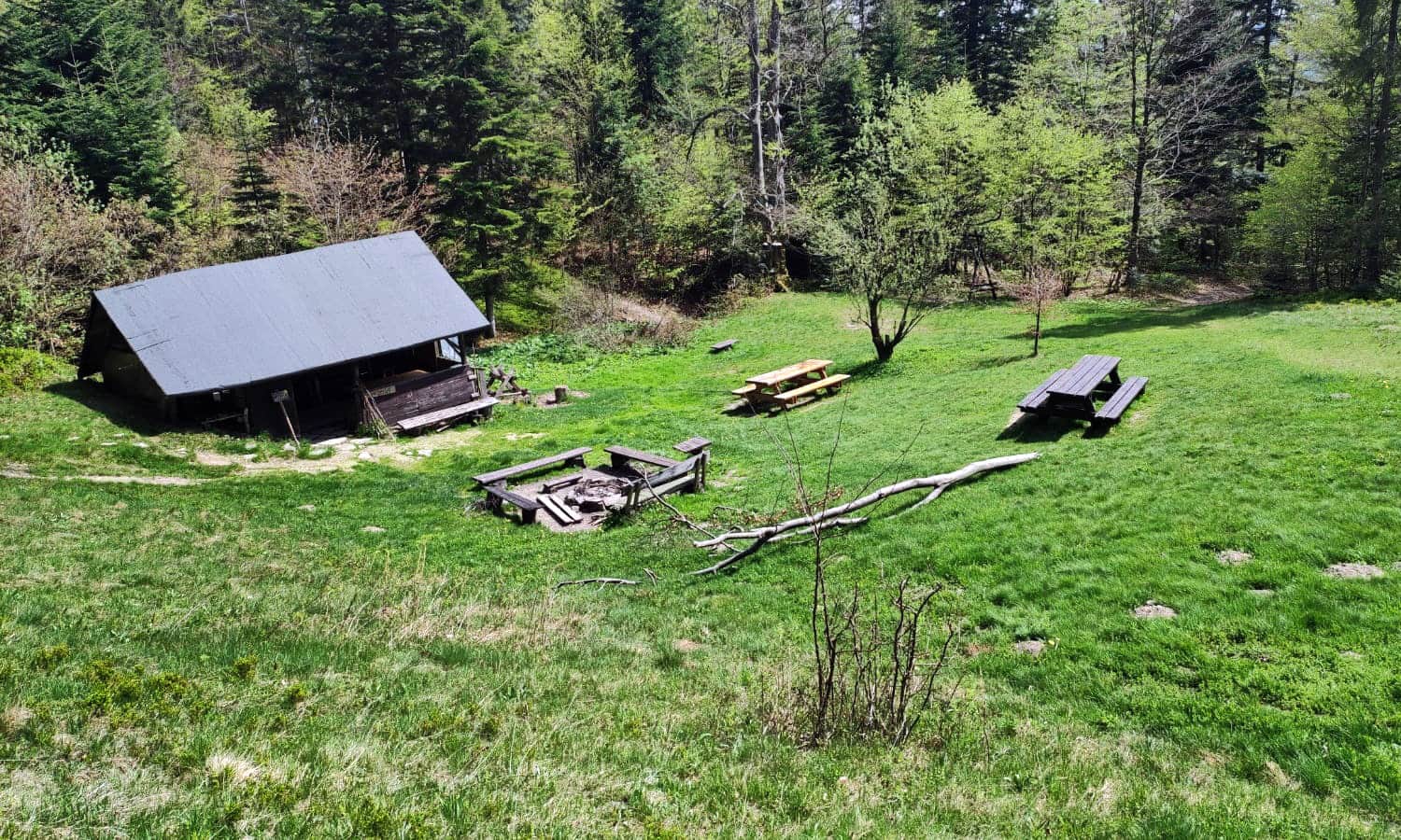
Polana Wały - Student Camping Base
Polana Wały is a seasonal base of the Student Association of Beskid Guides from Katowice. Besides vacations, you will find a spacious picnic and camping area here, with a shelter, benches, and even a toilet. It's worth taking a longer break here!
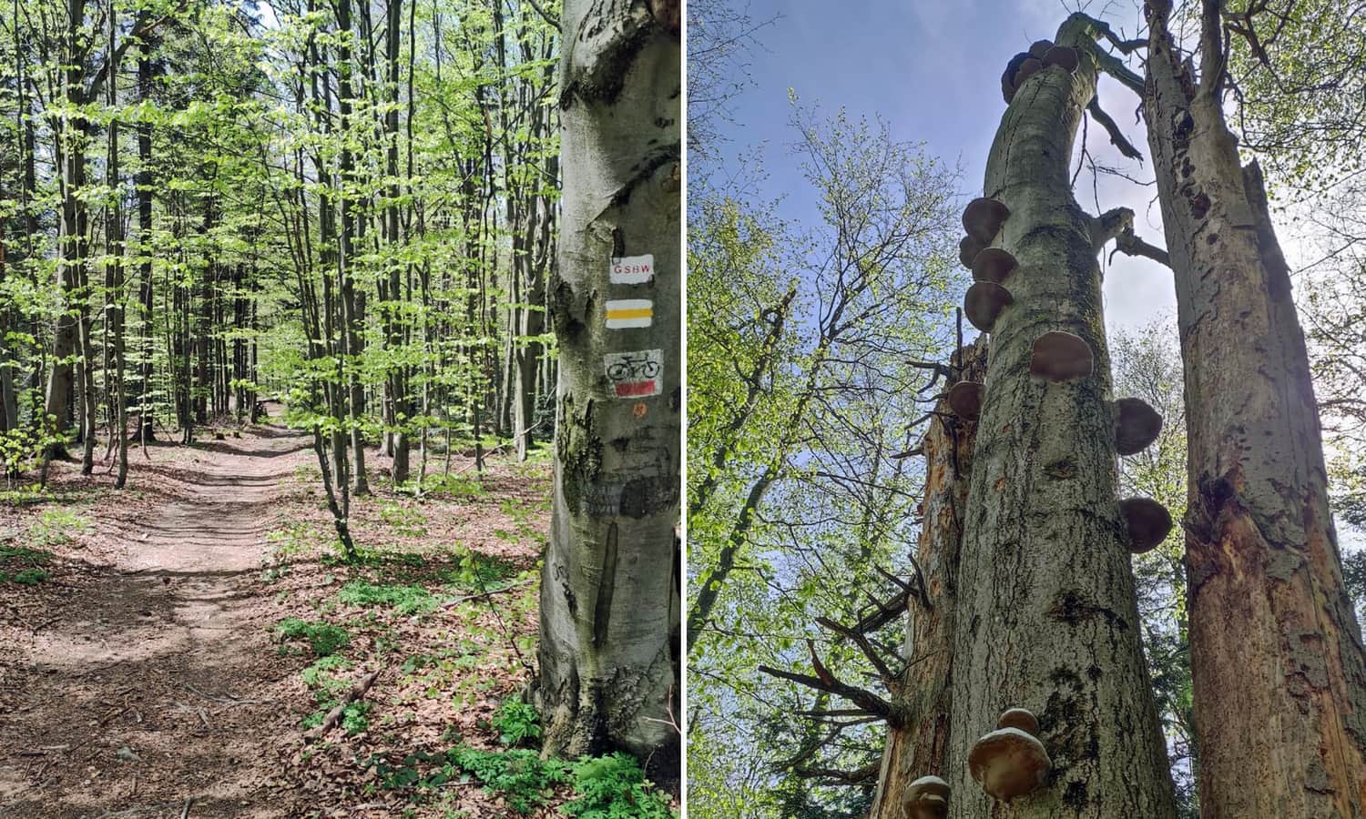
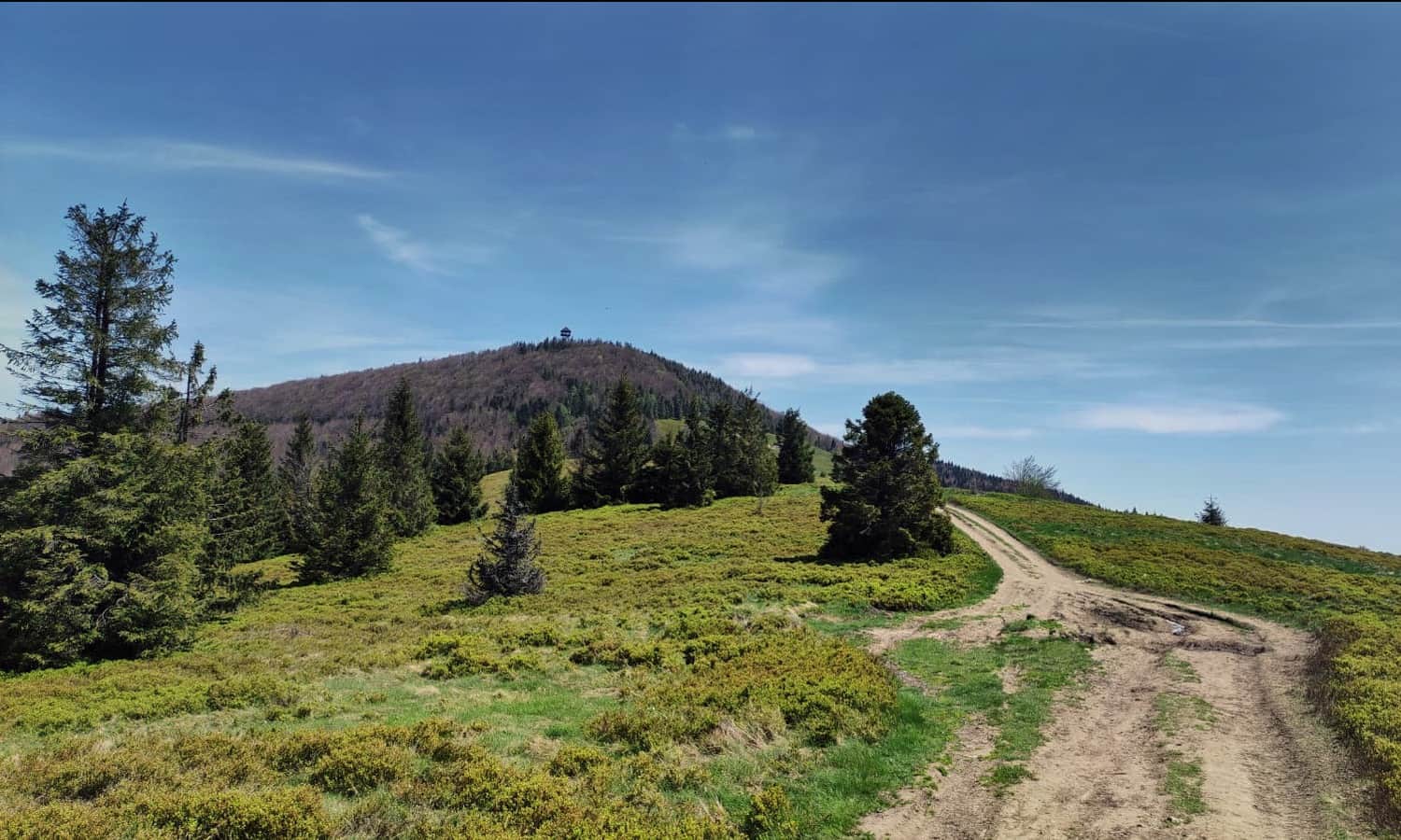
Yellow Trail Krzystonów - Mogielica
Above Polana Wały, the green trail intersects with the yellow trail just below the summit of Krzystonów. The green trail descends towards Półrzeczki, so if you want to reach the summit of Mogielica, you need to turn right following the yellow markers. You will hike along the ridge between Krzystonów and Kryzstonów Mały - there will even be a bit of a downhill!
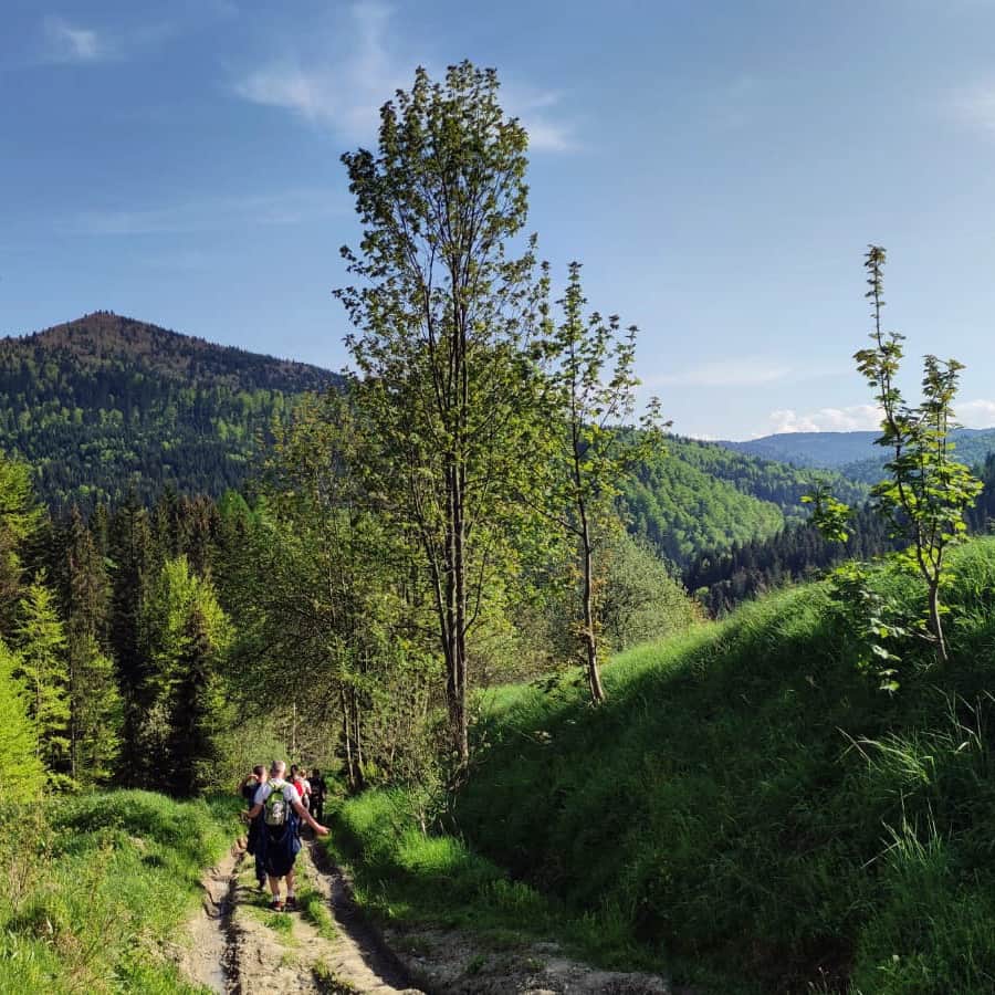
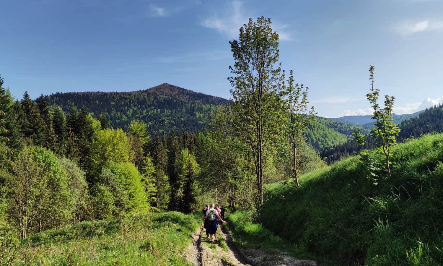
The ascent begins at the intersection with the ski slope and the junction with the blue trail from Szczawa - Bukówka. We climb through the forest until we reach the beautiful Polana Stumorgowa.
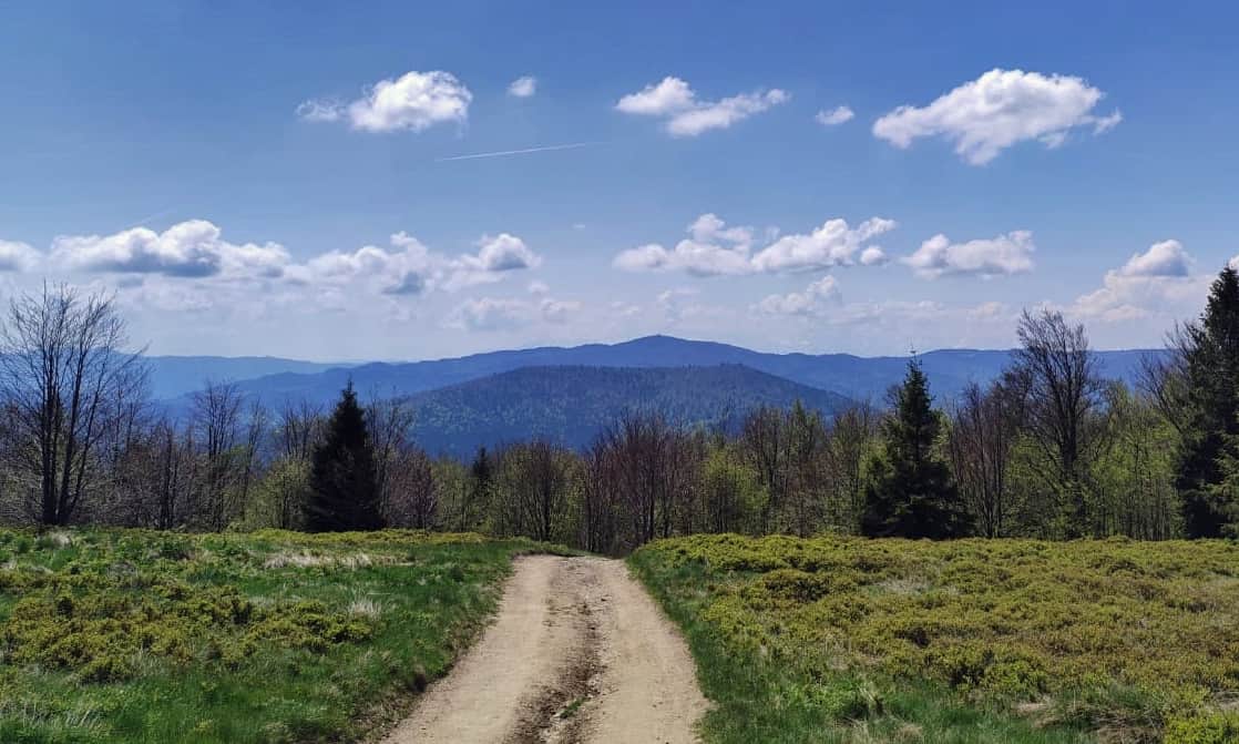
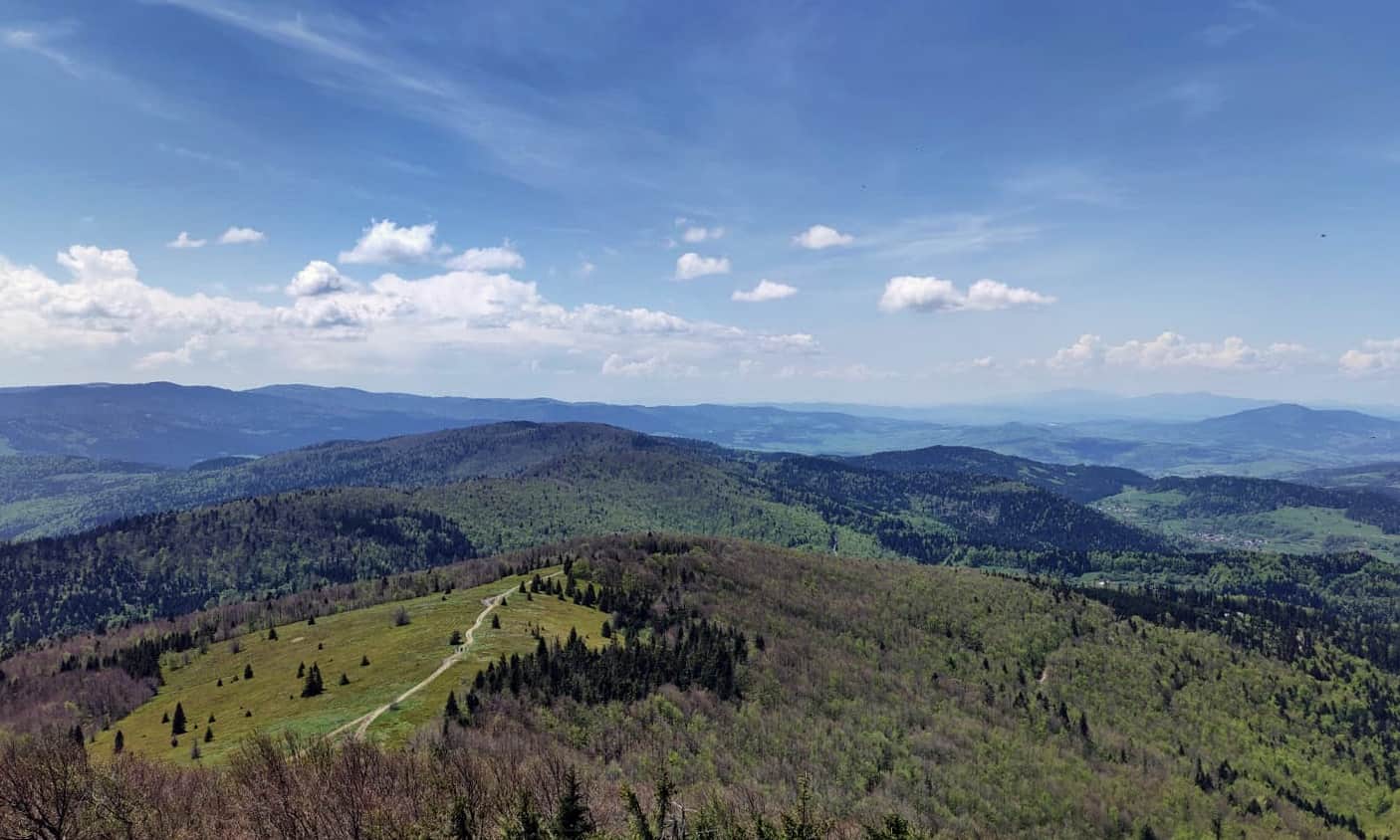
Views from Polana Stumorgowa under Mogielica
Polana Stumorgowa under Mogielica is one of the most scenic spots in the Beskid Wyspowy.
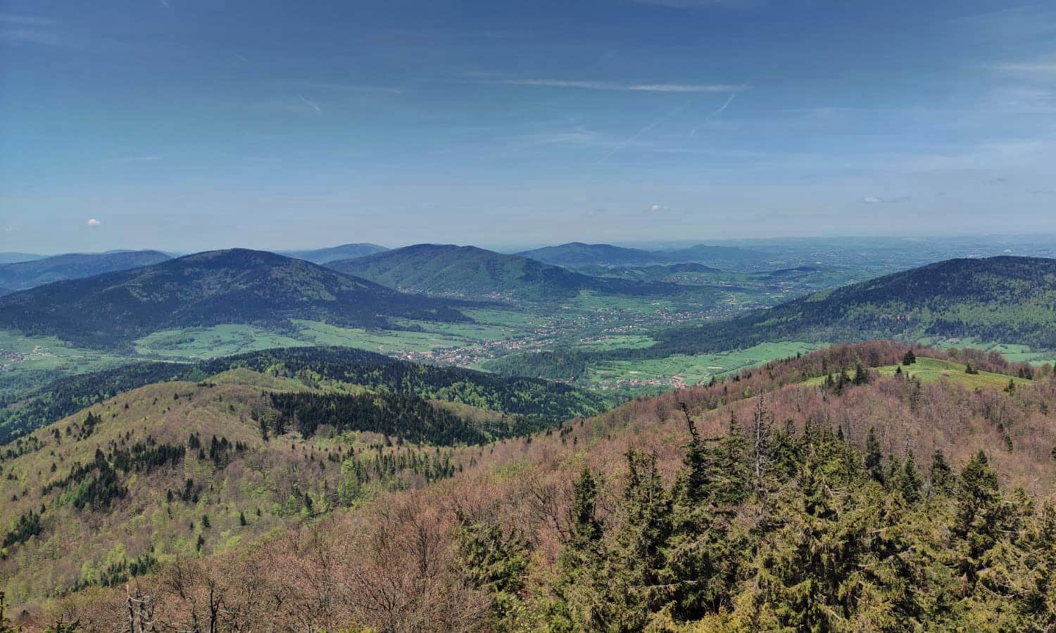
Walk higher, to the edge of the forest - benches, a shelter, and a resting place await you. The wide panorama from Polana Stumorgowa includes the green hills of the western part of the Beskid Wyspowy, the neighboring Gorce Mountains, and the towering Tatra Mountains above them.
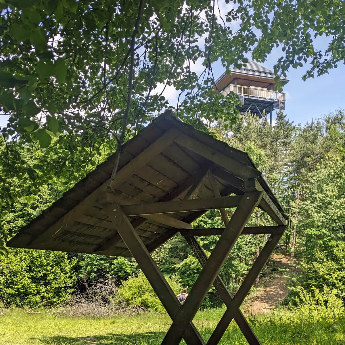
Mogielica Summit, 1170 m above sea level
From Polana Stumorgowa, we face a steep ascent on a path with loose stones. It won't be easy, but fortunately, it won't be very long either.
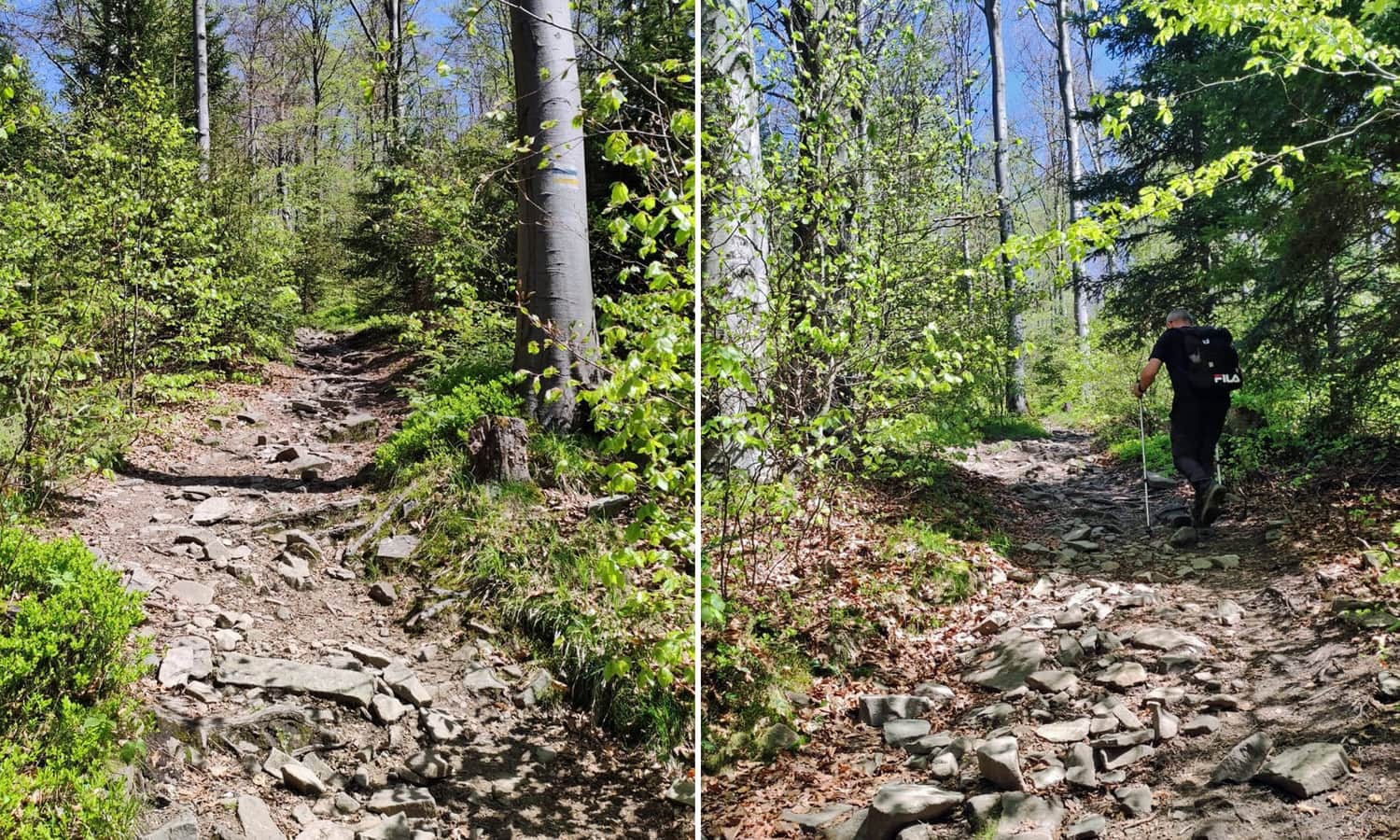
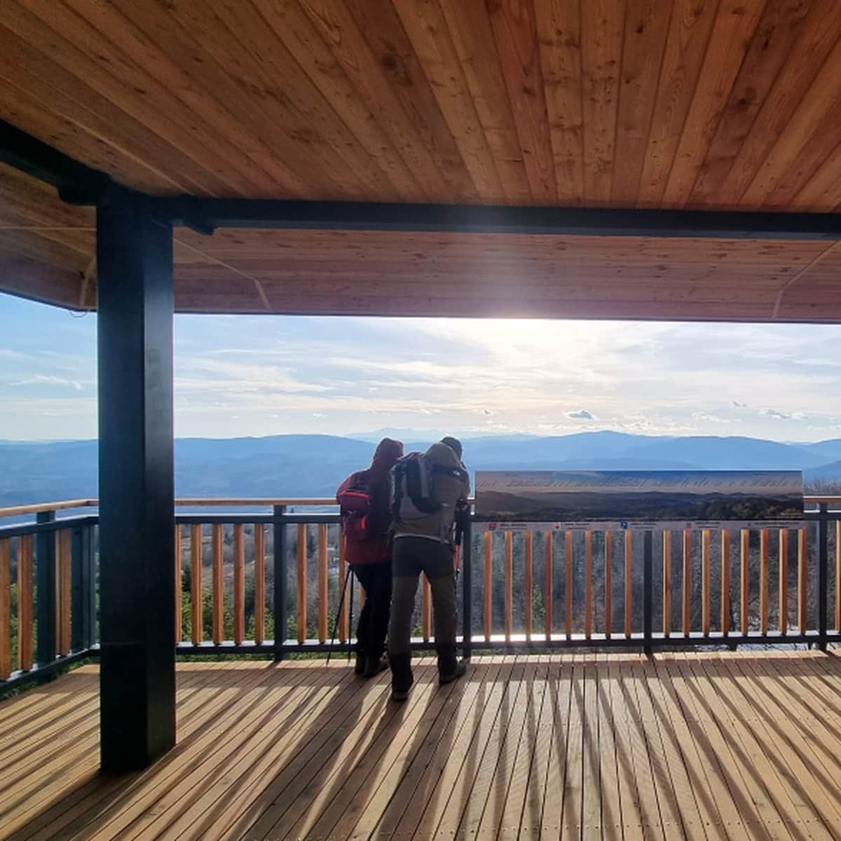
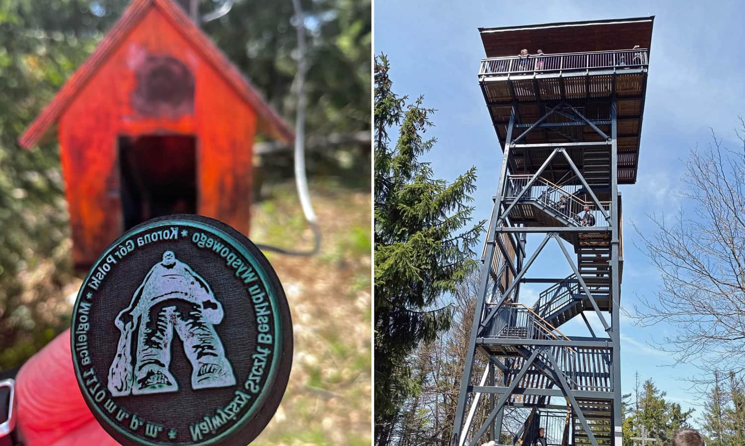
After about 15 minutes, we will find ourselves at the foot of the tower, which offers views in all four directions!
If, for various reasons, you don't feel like climbing the tower, we recommend walking to a small clearing with a papal cross - you will also see the Tatra Mountains from there! Through a small window under the tower, you can catch a glimpse of the northeastern part of the Beskid Wyspowy.
There is a resting place, a stamp box, and information boards below the tower.
Return from Mogielica to Szczawa-Białe
The return journey along the same path (yellow + green trail) will take about 2 hours. Alternatively, you can turn left from the yellow trail before Krzystonów, follow the blue markers, and descend to Szczawa-Bukówka (this descent takes about 1.5 hours), from where you can return to Szczawa - Białe either by the asphalt road or along the path next to the Kamienica River (about 2 km).
Medium
Szczawa Bukówka - Mogielica: blue trail

On the way, pay attention to the Spad na Kamienicy waterfall!
Other trails to Mogielica and interesting facts about the highest peak of the Beskid Wyspowy can be found in the article:
Mogielica: trails, routes, and loops
Mogielica is the highest peak of the "Beskid Wyspowy" , part of the Crown of Polish Mountains (1170 meters above sea level). At the prominent and quite steep summit, there is a new observation tower. The nearby Polana Stumorgowa is also famous for its beautiful views. ...

Publish Date: