
Potrójna - trails to the scenic peak in Beskid Mały
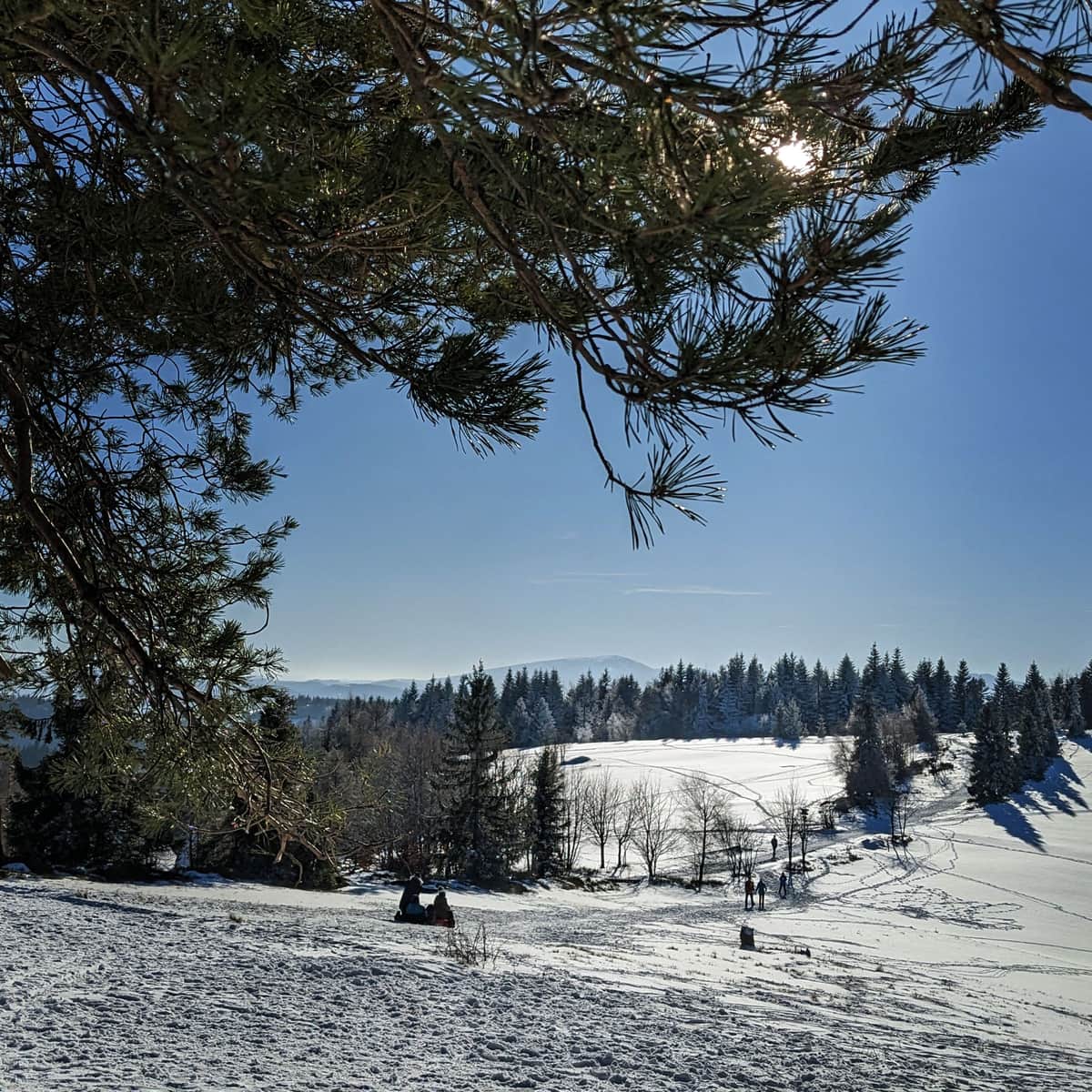
Potrójna (892 m above sea level) is a not very high, but an extremely scenic peak in the Beskid Mały range. You can reach it from places like Rzyki and Targanice near Andrychów. At the top, you will find vast meadows: perfect for picnics in the summer and sledding in the winter, a small secluded shelter "Chatka na Potrójnej", and most importantly, a beautiful panorama in all four directions!
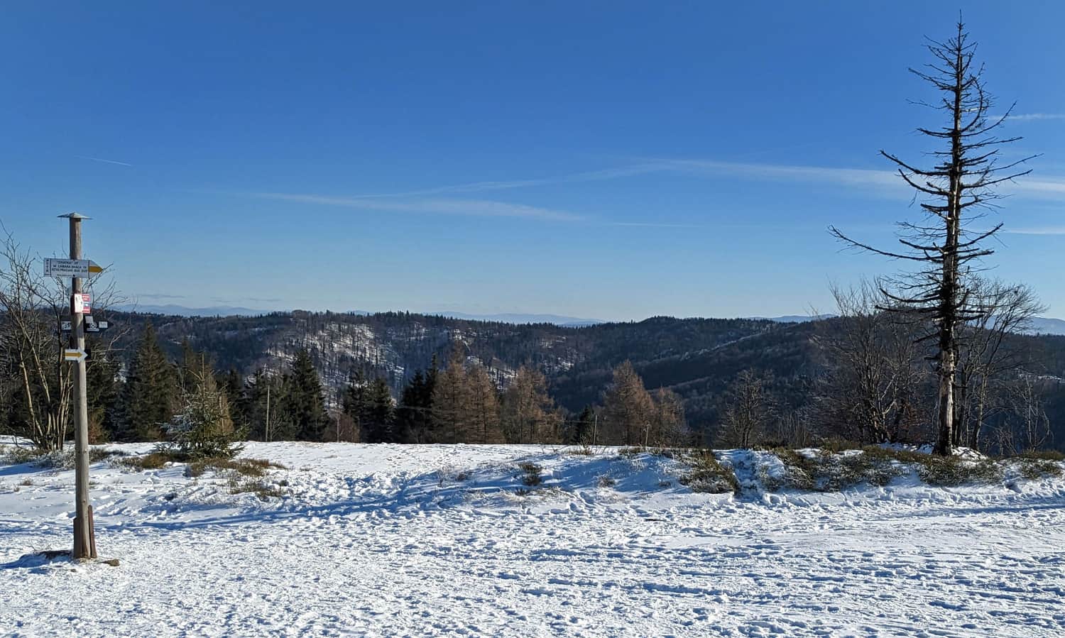
Potrójna - views from the top
Thanks to the vast meadows and open spaces, Potrójna offers beautiful views of the surrounding Beskid ranges. It's important to remember: Potrójna has three peaks: the southern one on the red trail (883 m above sea level), the highest middle one (892 m above sea level) and the northern one on the black trail from Rzyki (887 m above sea level). Each of these places offers a slightly different view, so instead of stopping in one place, it's worth walking around the meadows and enjoying different panoramas!
From here you will not only see the Tatras (including Gerlach, Rysy, Świnica), Babia Góra and Pilsko (photo above), but also the Silesian Beskids, from Barania Góra to Skrzyczne and Klimczok:
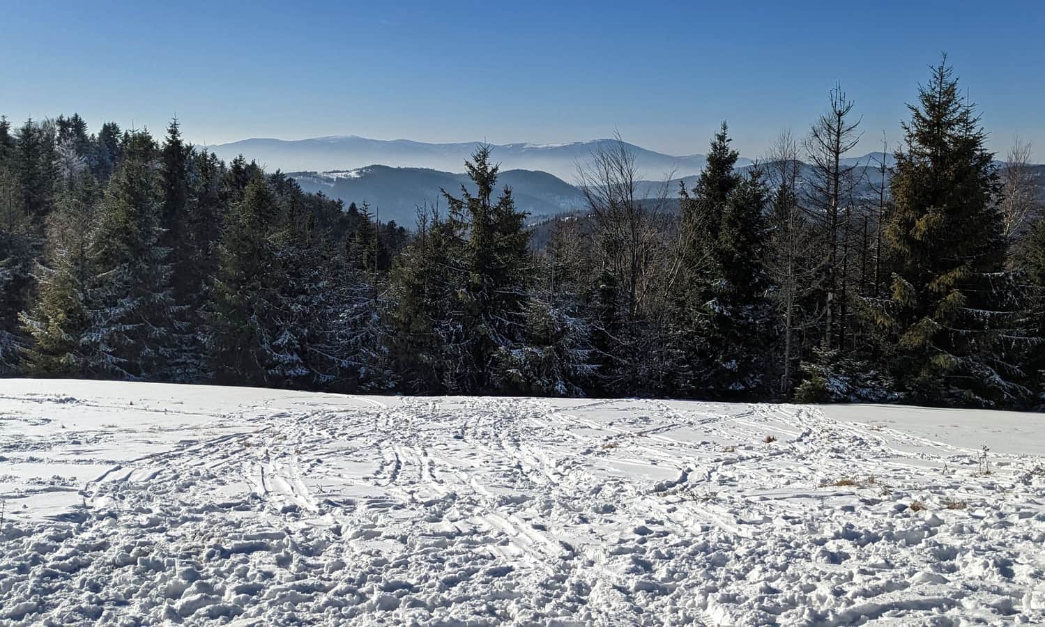
On the south-east, just beyond the neighbouring Łamana Skała and Leskowiec, the following ranges emerge: Beskid Makowski (including Lubomir, Parszywka and Koskowa Góra), Beskid Wyspowy (Śnieżnica, Lubogoszcz, Ćwilin, "queen" Mogielica, Szczebel and Luboń Wielki), as well as Gorce (including Gorc, Kudłoń and Turbacz):
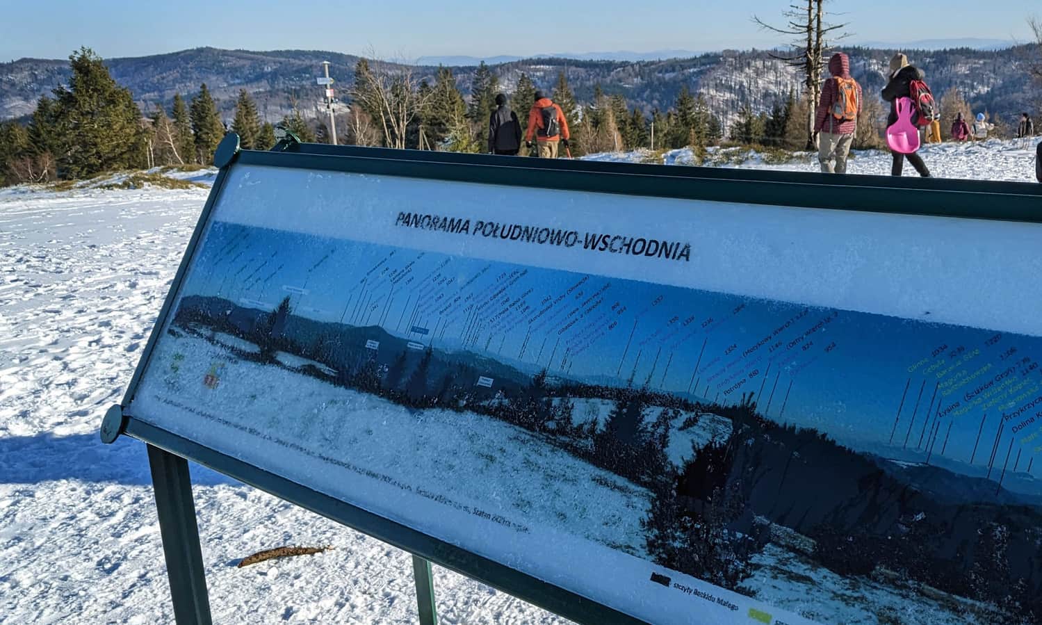
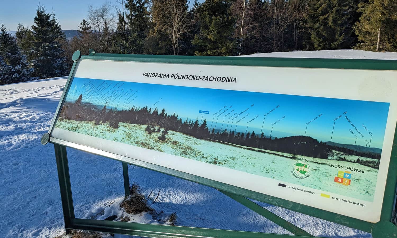
Description of the panorama from Potrójna
On the highest of the peaks, you will find boards with descriptions of the panorama:
Other attractions on Potrójna: shelter, rocks, curiosities
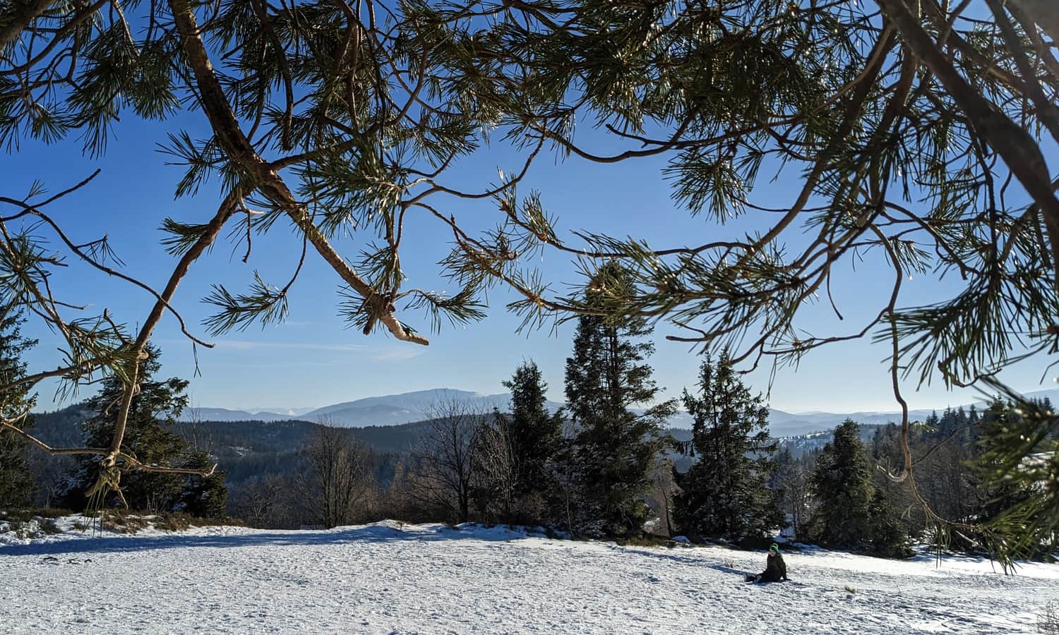
What else, besides the scenic meadows, awaits us at the top of Potrójna?
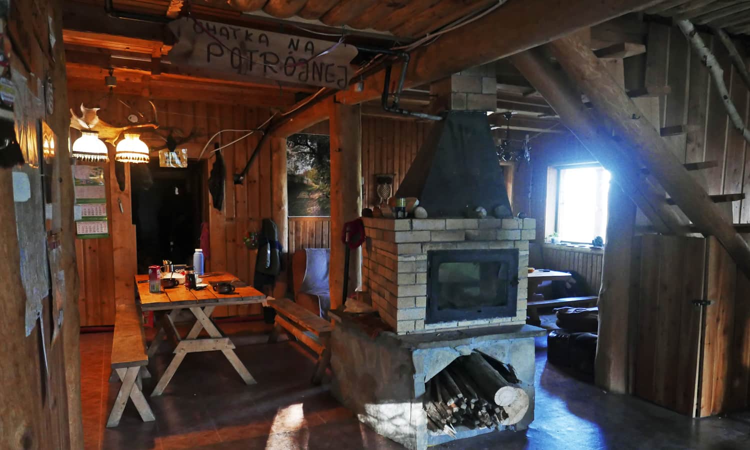
Chatka na Potrójnej - Chatka u Rafała
It's definitely worth visiting the small, private shelter "Chatka na Potrójnej". Here you can rest, have something hot to drink, eat a fresh bun, and even spend the night (it's better to arrange this in advance). The phone number for Rafał, the host of the Chatka is 889 697 250 (it's best to send a text message).
When looking for the Chatka on Potrójna, don't confuse it with the Chatka under Potrójna, which is a private accommodation object on the yellow trail between the Zakocierska Pass and the Pass on Przykra!
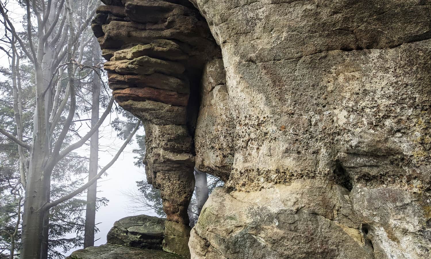
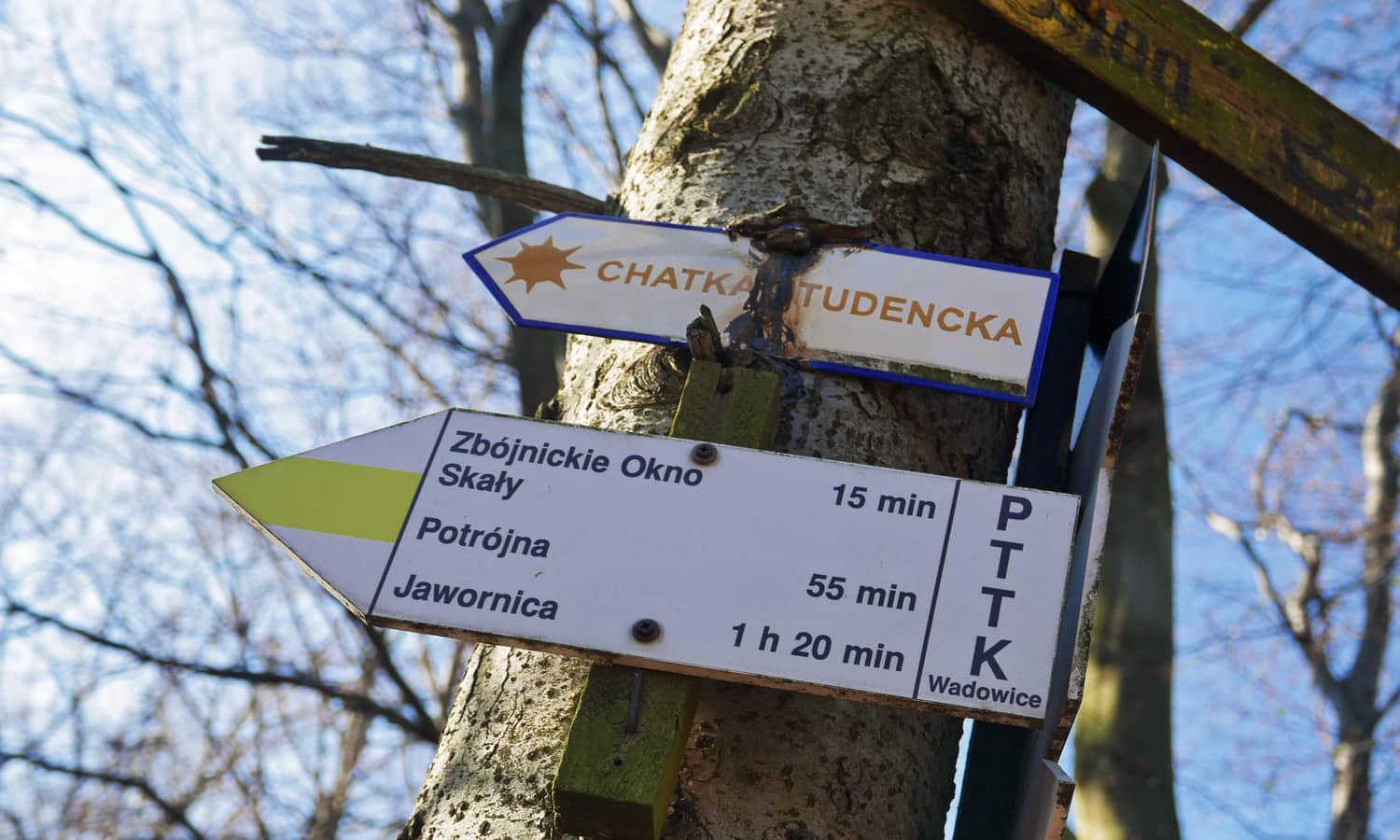
Robber's Window near Potrójna
Just half an hour's walk from the top of Potrójna, you will find the most interesting rock formation in the Beskid Mały. It's the so-called "Robber's Window" - a rock tower with a characteristic hole. You will find it on the yellow trail, about 1.5 km south of the peak.
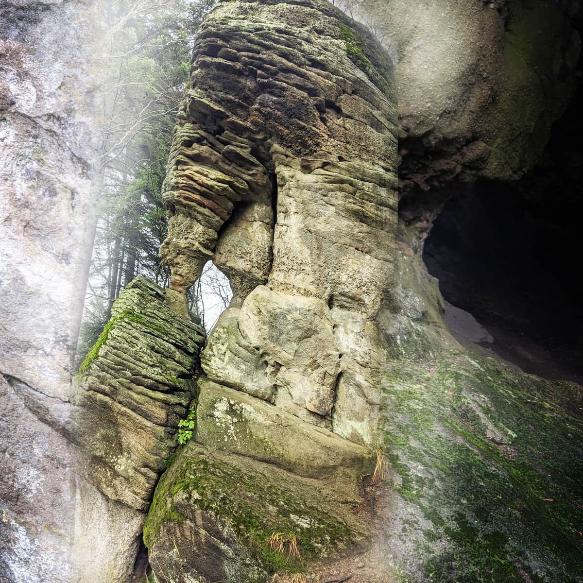
Zbojeckie Okno - the most interesting rock in the Beskid Maly mountains
Zbojeckie Okno is one of the largest and most interesting rocks in the Beskid Maly mountains. Its size, easy accessibility (right next to the trail), and above all, its unique "rock window" make it one of the most famous natural landmarks in the region. ...
Is Potrójna double?
Attention! When you look for the peak of Potrójna on the map of the Beskid Mały pay attention to the fact that there are two Potrójnas here, and both peaks with the same name are quite close to each other! We are describing the three-peaked Potrójna (883, 892 and 887 m above sea level) between the Zakocierska Pass and Czarny Groń. On the other side of the Pracica valley is a slightly lower peak with the same name: Potrójna (also known as Potrójna Góra) 847 m above sea level. You will find it on the red trail between the Beskidek Pass and the peak Na Beskidzie).
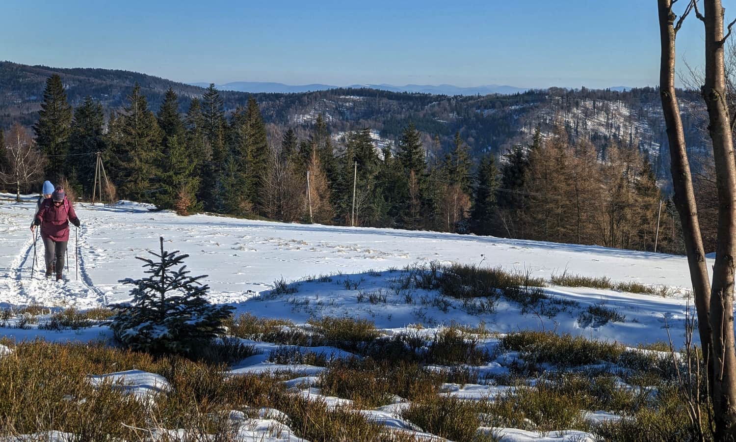
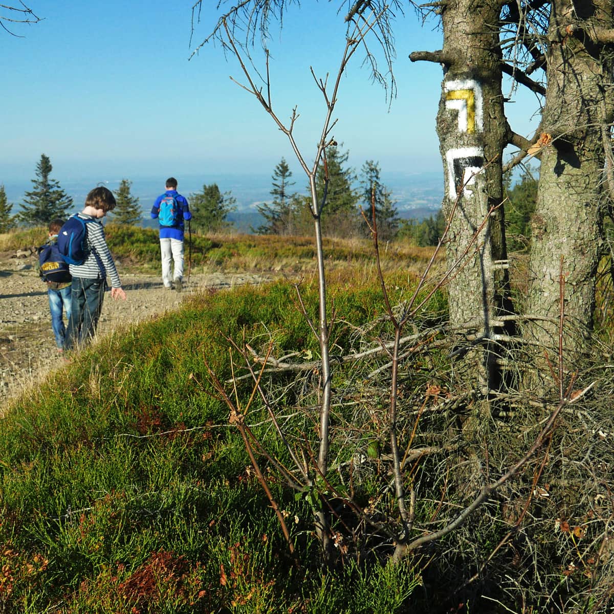
How to get to Potrójna? All trails to the top
Once we know exactly what awaits us at the top of Potrójna and in its immediate vicinity, it's worth considering how to get there. As usual, we have several options: easier and harder, shorter and longer.
Cable car to Potójna?
Can we take a cable car to Potrójna? Yes and no. Definitely not to the very top and not all year round. However, in winter there is indeed a chairlift from Rzyki Praciaki in the Czarny Groń ski resort. From the upper station near the Przykra Pass to the top of Potrójna, we only have 2.5 km to walk along a comfortable ridge route (the difference in altitude to overcome is only about 100 m).
Shortest trail to Potrójna
The shortest route to Potrójna starts from the PKS Kocierz Basie stop (there is also a small forest car park) - it's only 3.5 km. From here, you can reach Potrójna in about 1:20 hours, with about 300 m of altitude difference to overcome. The route is marked with yellow suns (this is the so-called shelter trail). Initially, it follows an asphalt road (Studencka Street), and then enters the forest. Unfortunately, the marking of the path leaves a lot to be desired... You have to be careful not to lose your way!
Easiest trail to Potrójna
Only slightly longer (about 3.7 km), but the easiest, as there is only about 220 m difference in altitude to overcome, is the red trail from the Kocierska Pass (car park). After reaching the southern peak of Potrójna, we follow the yellow signs to the scenic peak. It takes about 1 hour and 20 minutes one way.
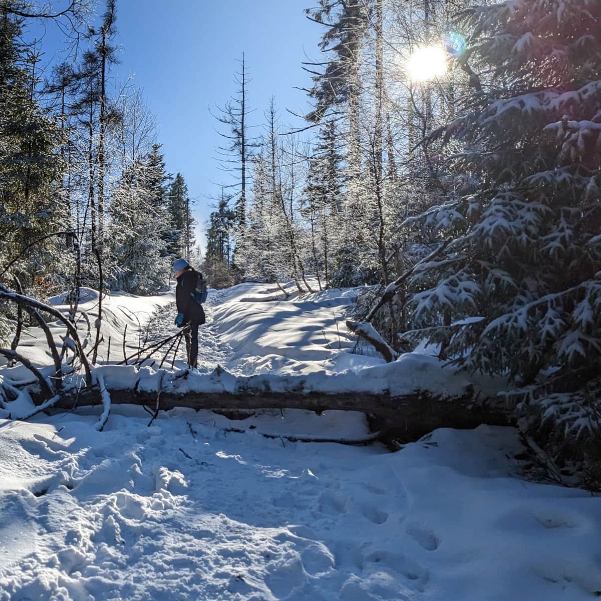
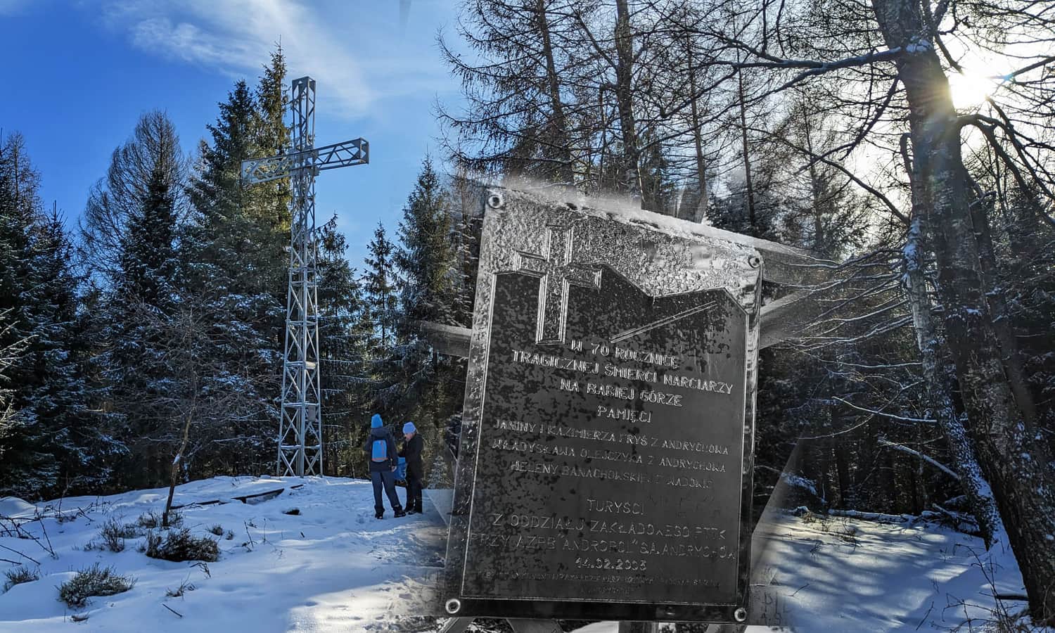
Recommended trail to Potrójna: from Targanice through Jawornica
Less frequented, because it's neither the shortest nor the easiest, is the yellow trail to Potrójna from Targanice through Jawornica, the so-called Frysiów Family Trail. After a fairly steep climb through the forest, an easy ridge route awaits you, and on the way, a place full of interesting (although unfortunately tragic) stories.
Medium
Jawornica and Potrójna - yellow trail Targanice

Loop to Potrójna from Rzyki
The combination of the yellow trail from Rzyki Praciaki through Łamana Skała (7 km, 500 m altitude differences) and the short, albeit quite steep, black trail (4 km, 420 m altitude differences) creates a 12-kilometre loop to walk in about 4.5-5 hours. Additionally, on the way, there will be an opportunity to pass through the picturesque Madohora reserve under Łamana Skała (an interesting and rocky wild spruce forest).
We especially recommend this route outside the ski season: then the large car parks in Rzyki will be empty and free of charge.
Medium
From Rzyki to Łamana Skała and Potrójna

Other trails to Portójna
Of course, you have many other routes to choose from, including:
- From Targoszów, the green trail to Rozstaje u Anuli and then the yellow one through Łamana Skała. One way 8.5 km, 560 m altitude differences, about 3 hours to walk.
- From Koconia, the blue trail to Rozstaje u Anuli and then the yellow one through Łamana Skała. One way 9 km, 530 m altitude differences, about 3 hours to walk.
- From Rzyki Jagódek, the black trail to the W. Midowicz Pass, then the red one through Leskowiec and Łamana Skała and the yellow one to the peak. One way 12 km, 700 m altitude differences, about 4 hours to walk.

Publish Date:
Last Updated: