
Skrzyczne - trails to the highest peak of the Silesian Beskids
Skrzyczne (1257 m above sea level) - the highest peak of the Silesian Beskids, part of the Crown of Polish Mountains and the crown of Polish Beskids, is famous for its exceptionally steep slopes and the most famous Beskids ski resort. What should you know about Skrzyczne peak, the shelter, and the trails leading here?
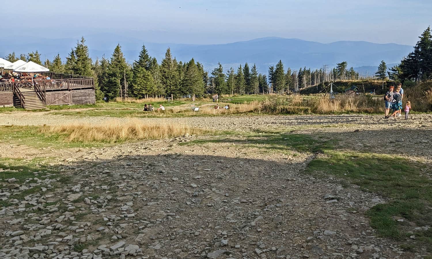
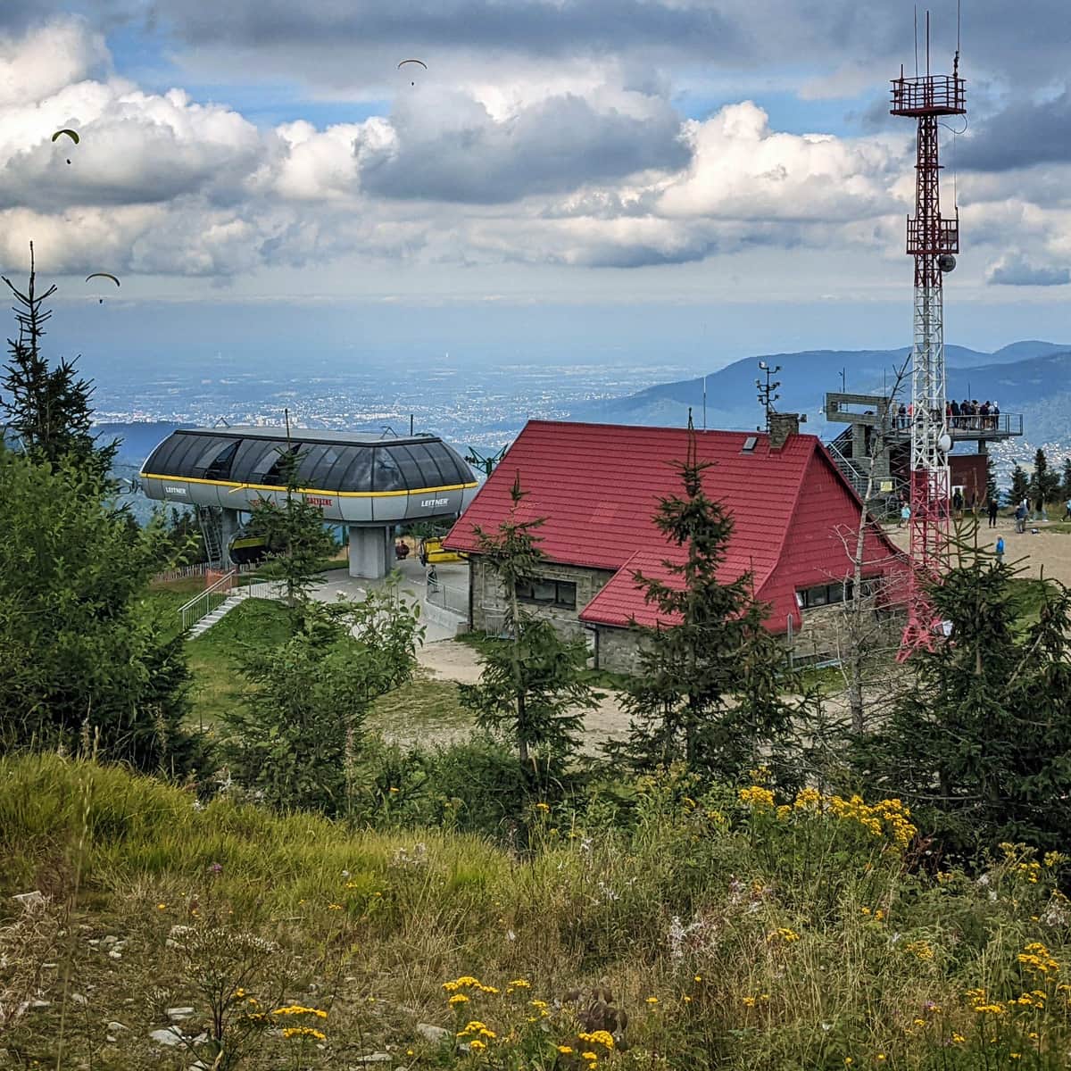
Skrzyczne - attractions at the peak
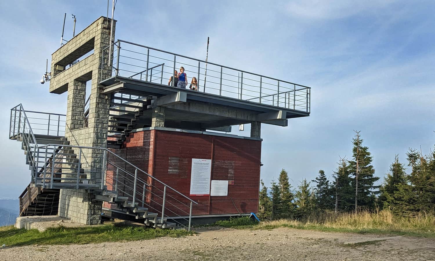
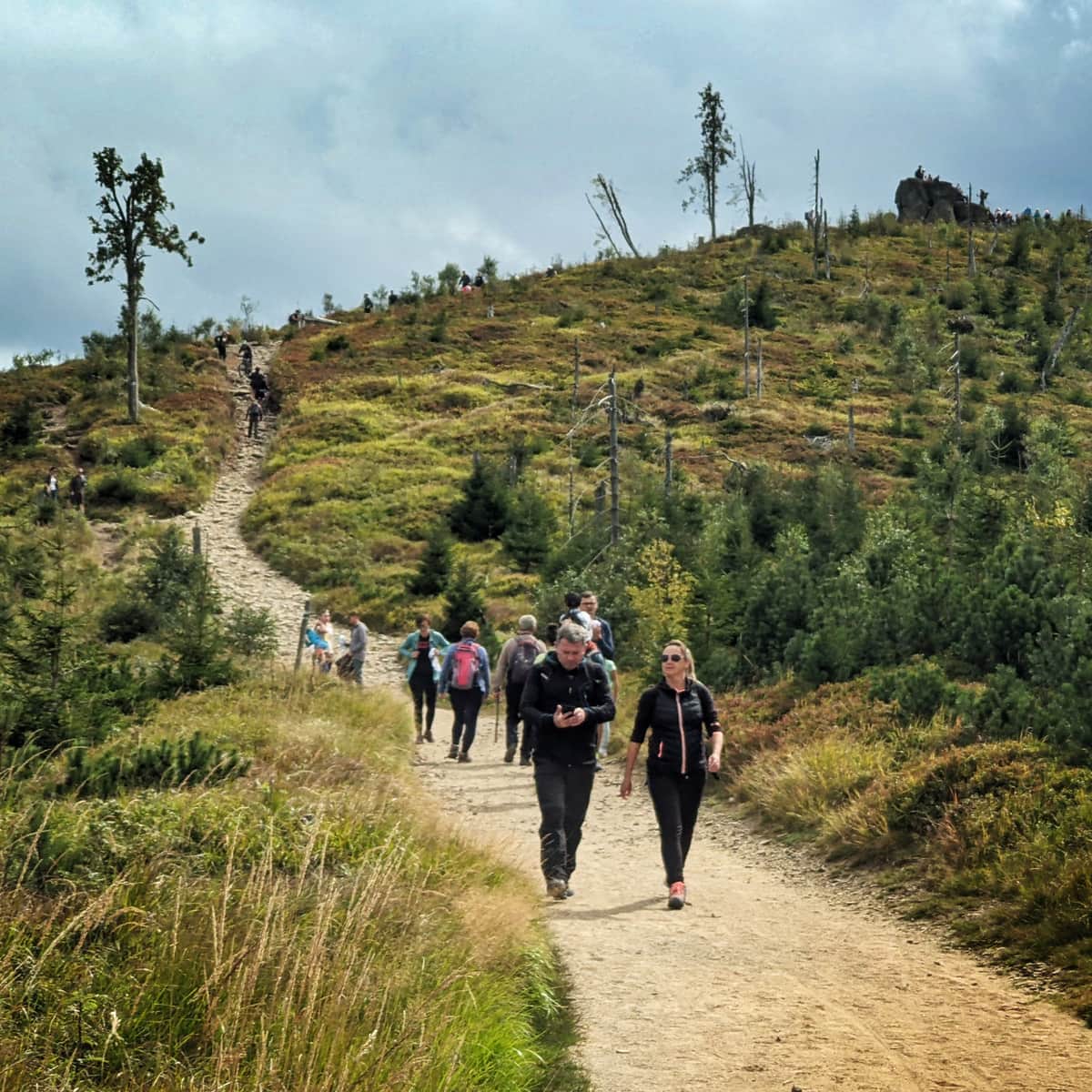
The highest peak of the Silesian Beskids is one of the most developed places in the Beskids. You can get here not by one, but even two cable cars. At the top cable car station, we have a viewing platform at our disposal.
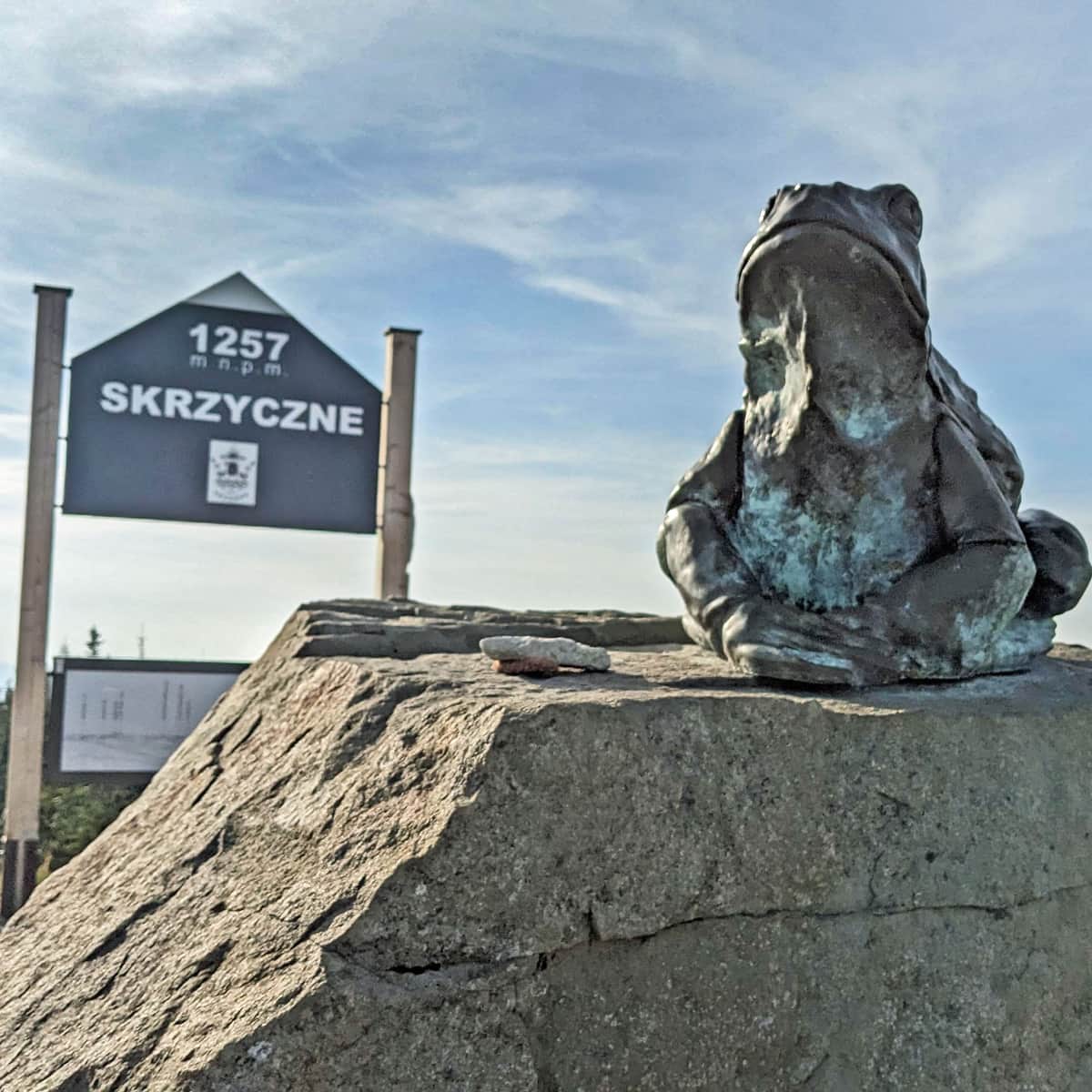
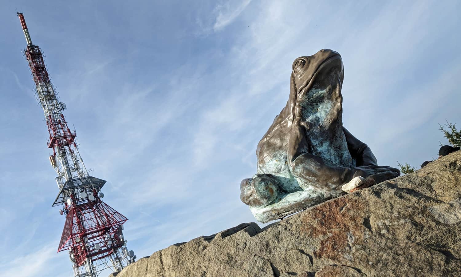
At the top, we will find an extremely high RTV mast (almost 100 m high!), a frog monument (we explain why below) and one of a series of carved Beskids benches.
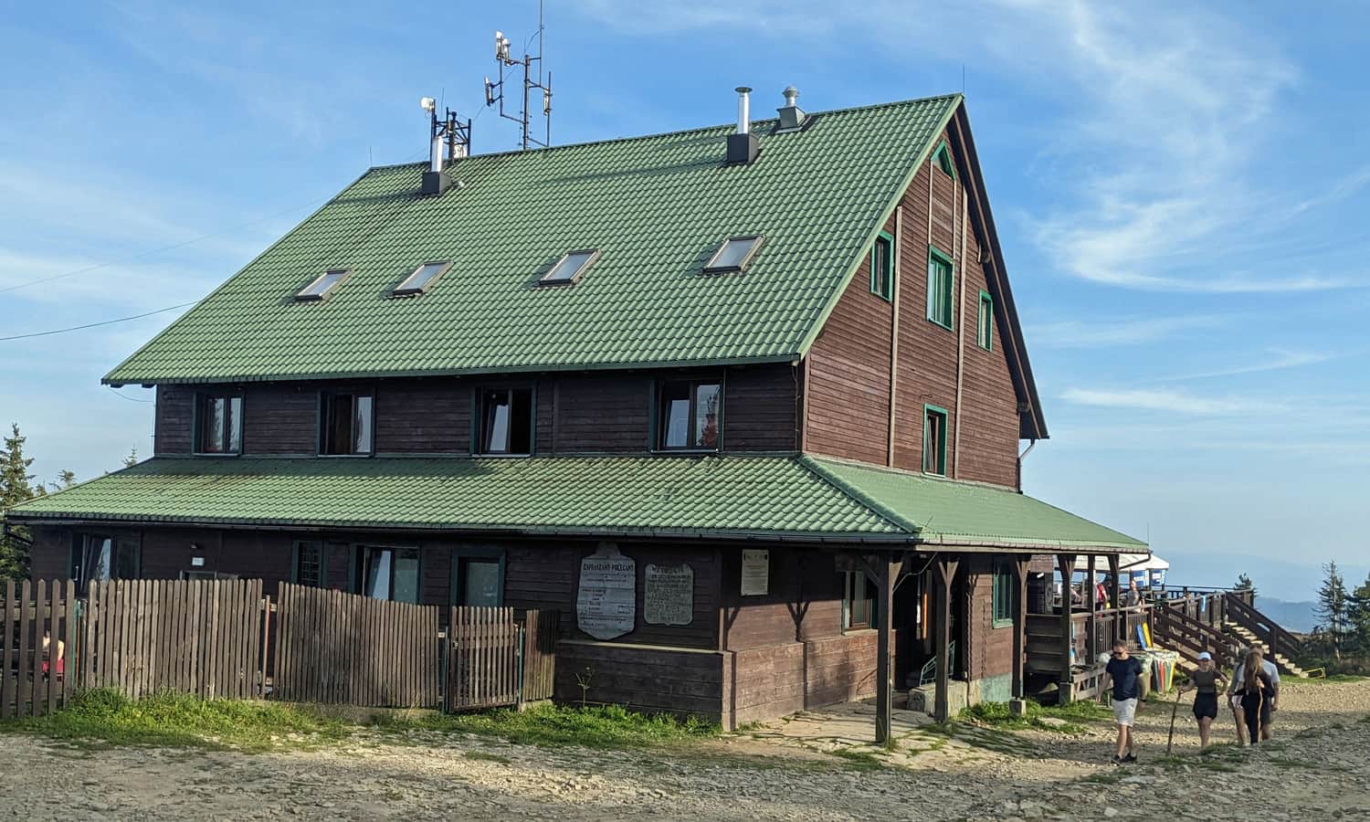
Skrzyczne - PTTK shelter
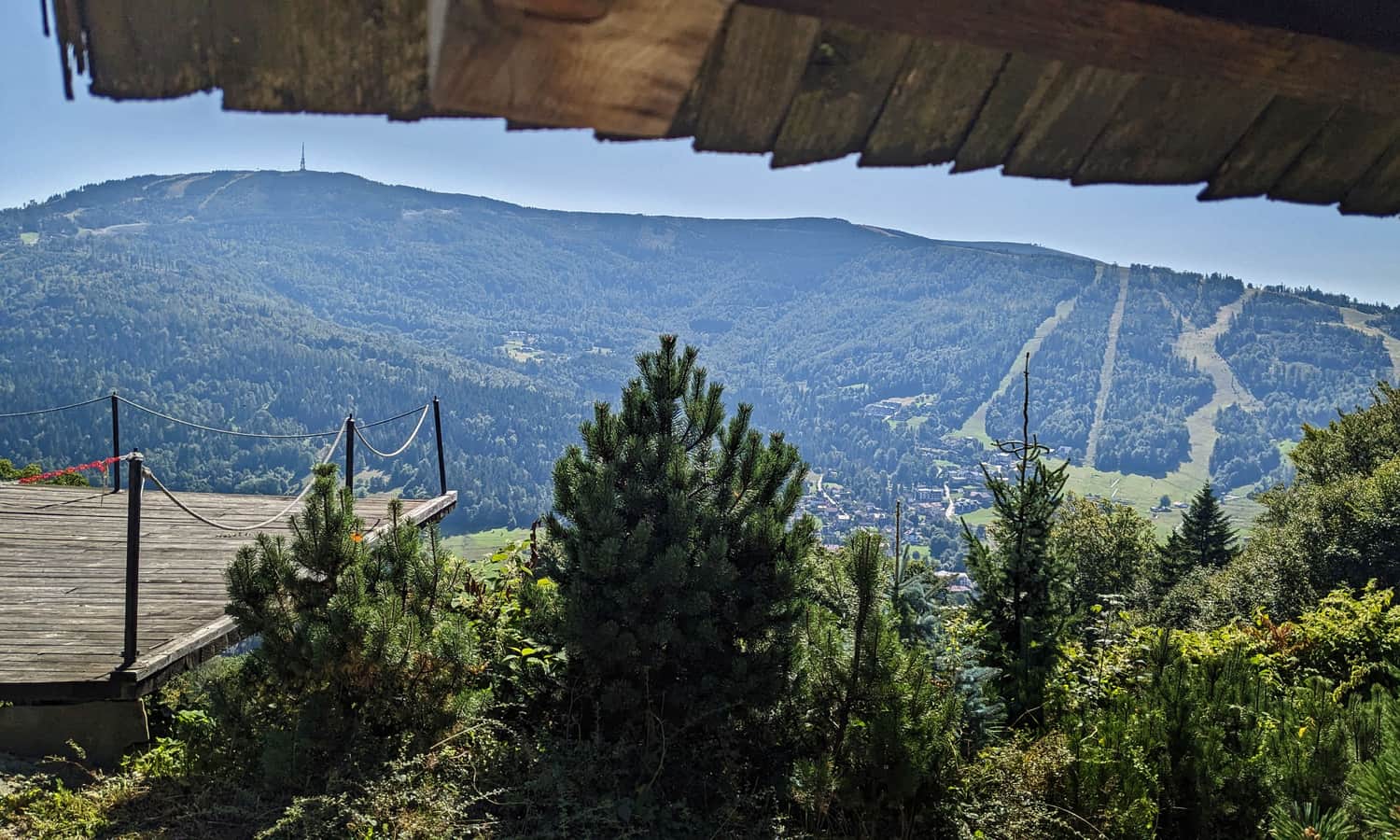
The PTTK shelter on Skrzyczne is located just below the peak. Here you can buy simple meals, sweets, drinks, and souvenirs, and above all, rest while admiring the beautiful panorama to the south and southeast (from the shelter's terrace or the extensive meadows next to it).
Skrzyczne - views
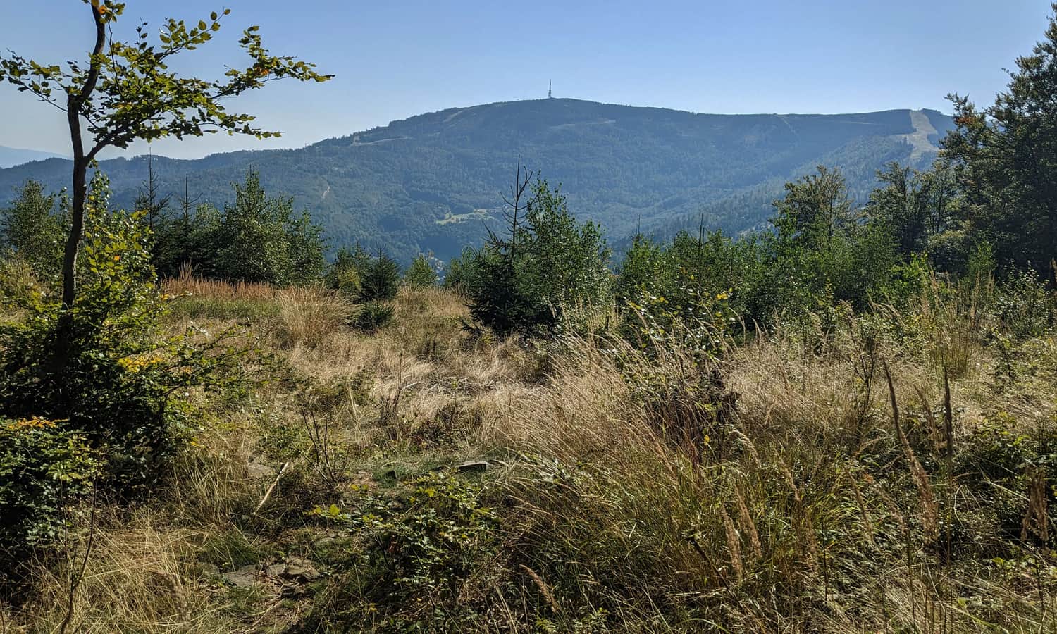
Beautiful views extend from the top of Skrzyczne: to the west (Czantoria and Stożek Range), north (Klimczok Range), northeast (Little Beskids).
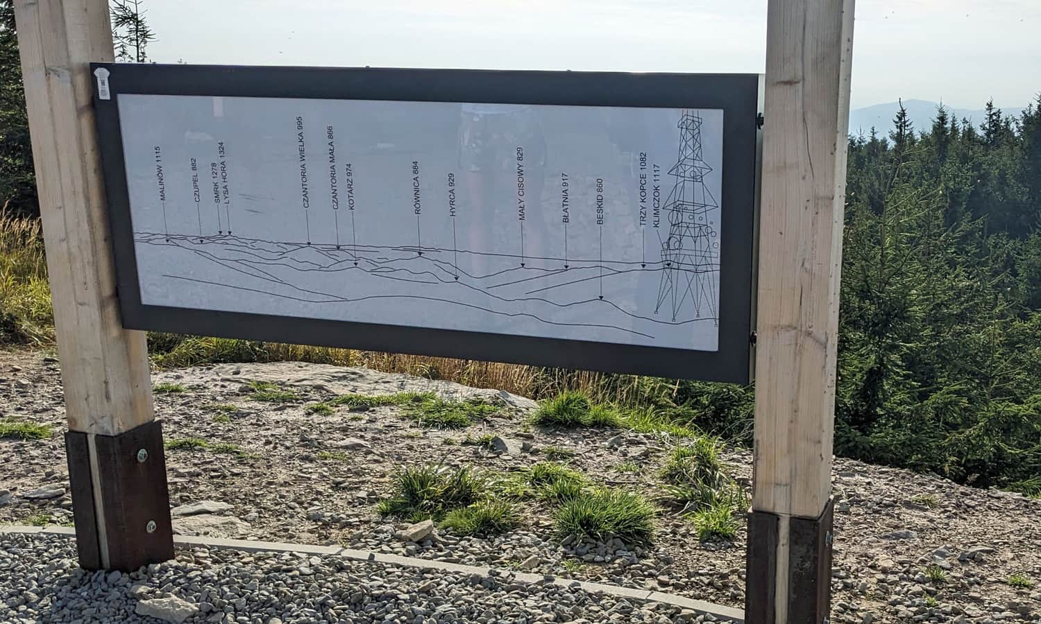
From the shelter, with good visibility, we will see not only the neighboring ranges of the Żywiec Beskids with Babia Góra and Pilsko in the main role, but also the Tatra chain.
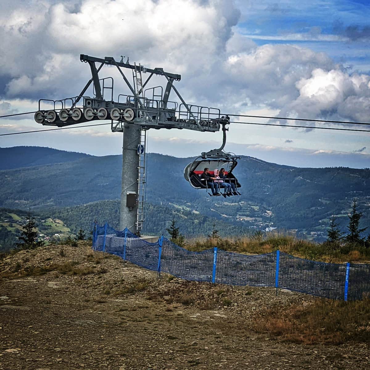
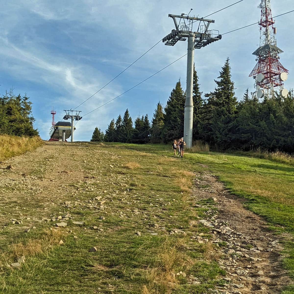
Cable car to Skrzyczne and the "Szczyrk loop"
The cable car, or even two year-round chairlifts and gondola - will take us practically to the top of Skrzyczne. We can combine the ride up and down the cable cars into the so-called "Szczyrk loop": that is, using a combined ticket, go up one route, walk a few hundred meters along the ridge and descend to Skrzyczne by the other cable car.
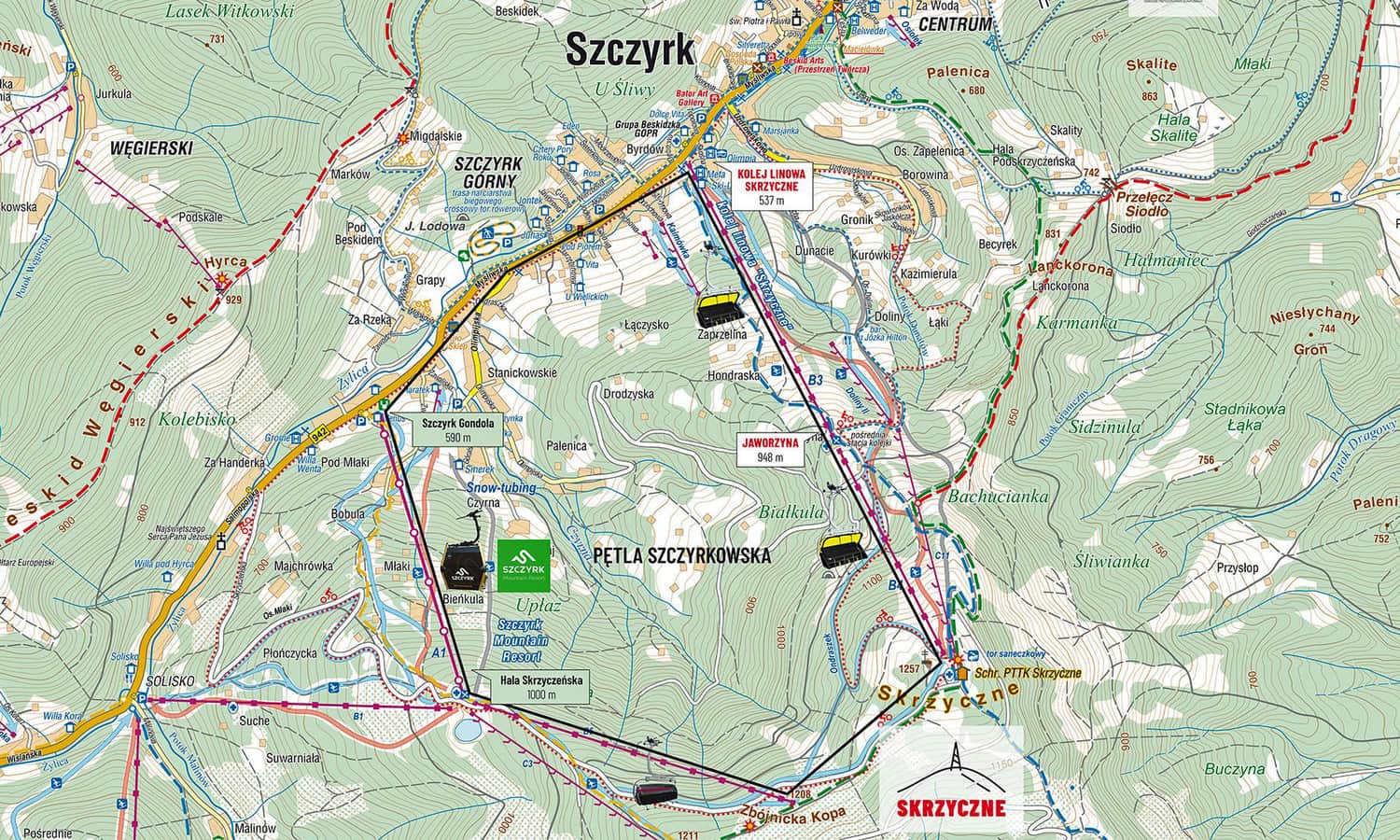
Here is a description of the cable car to Skrzyczne, with a change at Hala Jaworzyna (both chairlift lines):
Easy
Skrzyczne Cable Car

And this is the cable car to Zbójecka Kopa through Hala Skrzyczeńska (the first section by gondola, the second - by sofa). This is where the summer downhill bike routes start:
Easy
Cable car to Hala Skrzyczeńska and Małe Skrzyczne

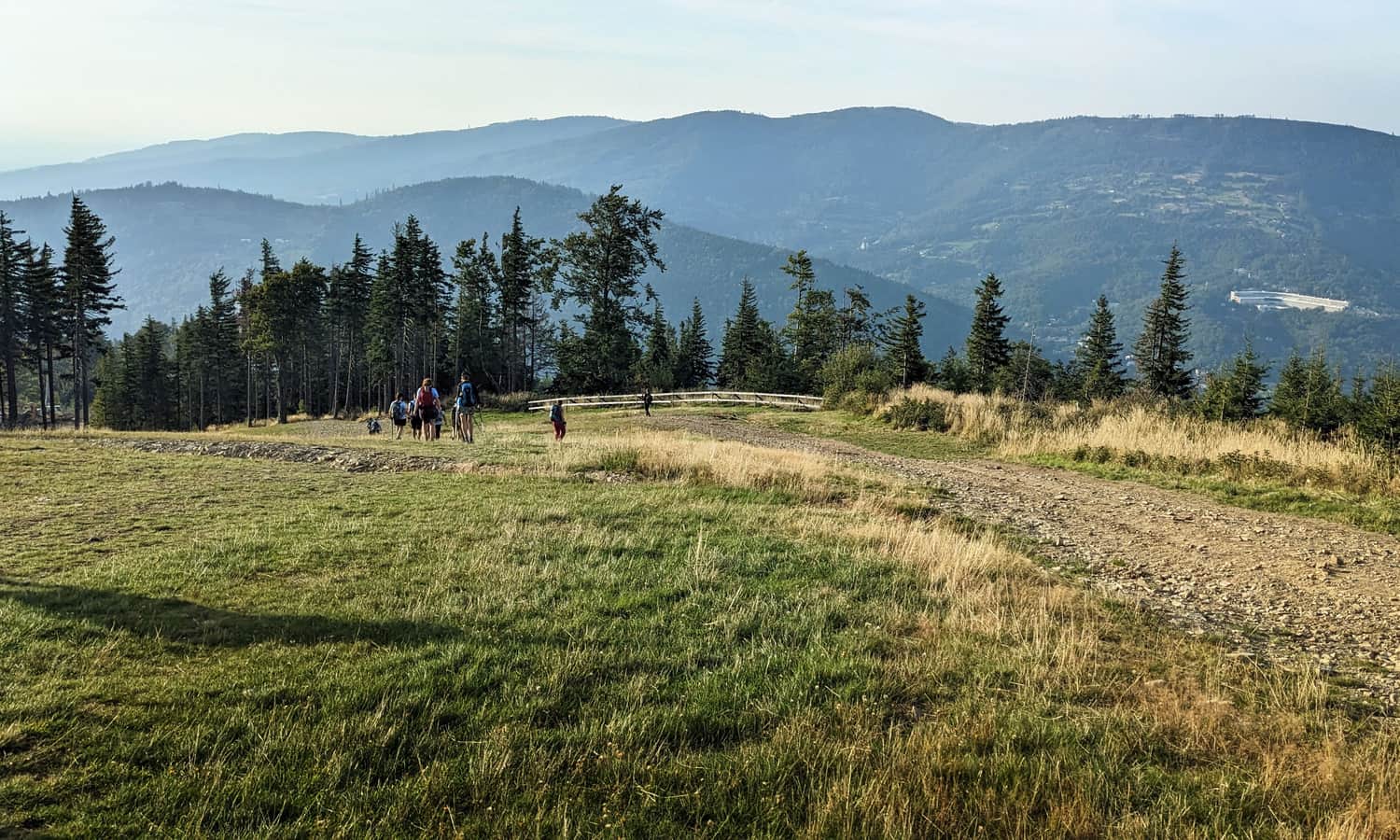
Trails to Skrzyczne - how to get to the top?
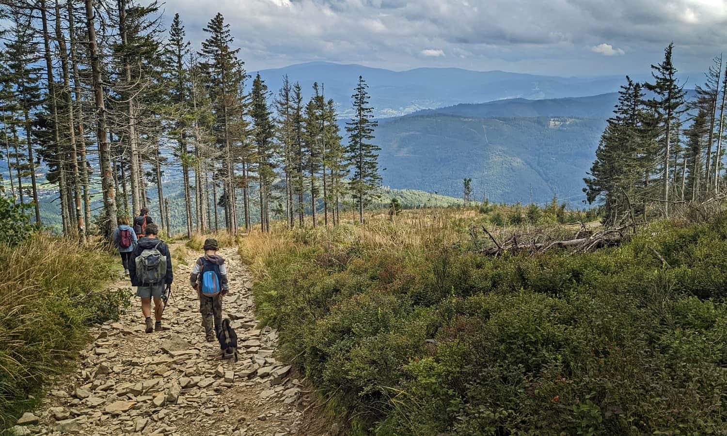
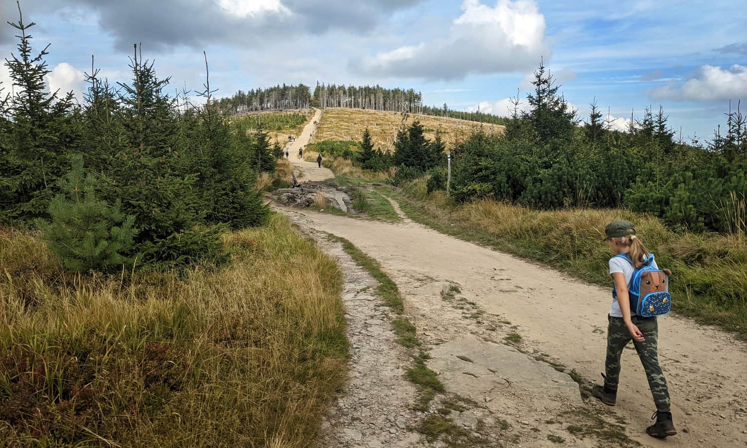
Several trails lead to the top of Skrzyczne: both from the north, from Szczyrk, northeast (from Buczkowice and Grodziszki) and from the southeast: from Lipowa. You can also get here through Malinowska Skała: e.g. from Dolina Zimnika, from Solisko and Salmopolska Pass.
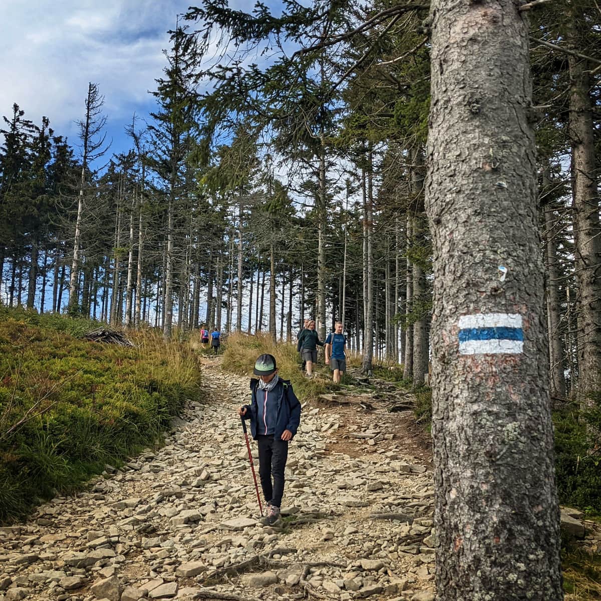
The shortest trail to Skrzyczne - blue from Szczyrk
The shortest (because below 4 km), but not the easiest route leads to the top of Skrzyczne along the cable car route. The trail is steep, very sunny, but the view is amazing!
Medium
Shortest trail to Skrzyczne from Szczyrk

Blue trail to Skrzyczne from Lipowa
The route is only slightly longer than the trail from Szczyrk, but not so steep and more forested (= less sunny).
Medium
Blue trail to Skrzyczne from Lipowa

To Skrzyczne through Dolina Zimnika and Malinowska Skała
This is a longer route, but with attractions (we visit the famous Malinowska Skała on the way) and a picturesque ridge crossing through Kopa Skrzyczeńska, Małe Skrzyczne and Zbójnicka Kopa.
First, we climb the yellow trail to Malinowska Skała:
Medium
To Malinowska Rock from Lipowa

..and then we reach the top of Skrzyczne along the ridge:
Easy
Skrzyczne - Malinowska Skala

In total, this scenic route in one direction is about 12 km long, we overcome about 800 m of height difference. It will take us about 4.5 hours.
Other trails to Skrzyczne
Other routes that lead us to the highest peak of the Silesian Beskids include:
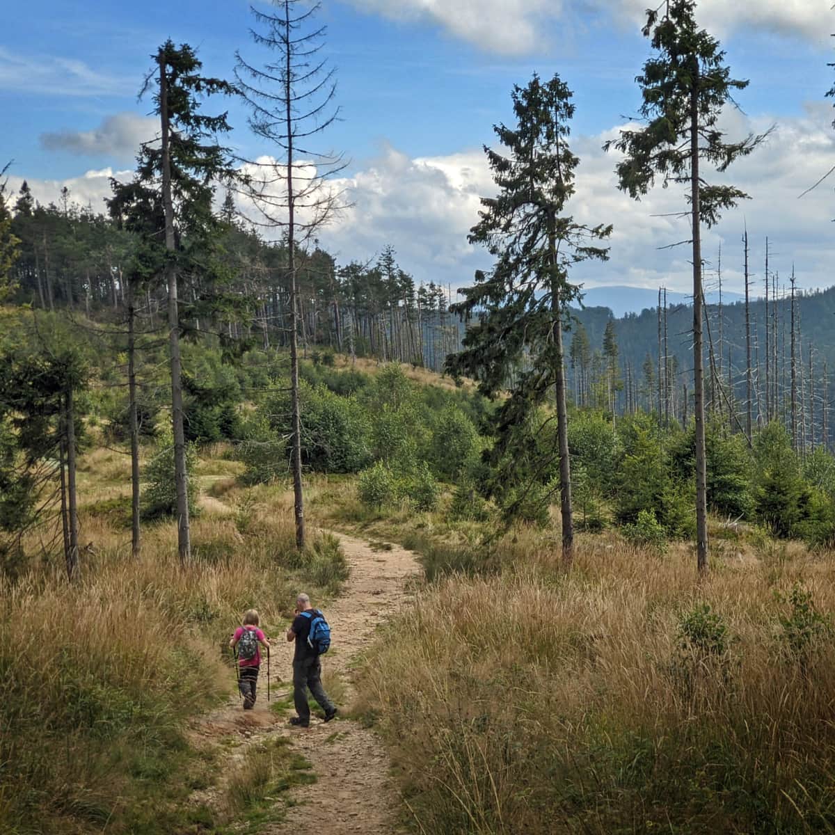
- Route from Salmopolska Pass: first the red trail to Malinowska Skała and from there along the ridge through Kopa Skrzyczeńska and Małe Skrzyczne. In total: 8 km, less than 500 m height difference, about 2:45 hours one way.
- Blue trail from Szczyrk - Solisko: we climb Malinowska Skała by the blue trail, from there along the ridge through Kopa Skrzyczeńska and Małe Skrzyczne. In total: 9.5 km, less than 700 m height difference, about 3:30 hours one way.
- Yellow trail from Szczyrk: we go up the yellow trail along the gondola line, through Hala Skrzyczeńska (gastronomic points) we go up to Małe Skrzyczne and along the ridge we reach the top of Skrzyczne. In total: 5 km, less than 666 m height difference, about 2:30 hours one way.
- Green trail from Szczyrk: from the center of Szczyrk we go through Becyrek to Skrzyczne. This is the most forested and the only winter-active trail from Szczyrk to Skrzyczne (the other two lead along ski slopes). In total: 5.6 km, less than 760 m height difference, about 2:40 hours one way.
- Red trail from Buczkowice: first we go up to Becyrek, where we meet the green trail from Szczyrk and follow its signs to the top. In total: 8 km, less than 840 m height difference, about 3:30 hours one way. We can also start this trail in Godziszka - this will shorten the route by 2 km and about 40 min.
Skrzyczne - facts, trivia and legends
Many legends and stories circulate about the highest peak of the Silesian Beskids. Which of them are true?
Are the slopes of Skrzyczne really that steep?
A hundred years ago, the author of the first guides, Kazimierz Sosnowski, wrote that it is one of the steepest and wildest Beskids mountains. Not much of its "wildness" remains, but steep slopes still rise even almost 800 m above the valleys surrounding the peak. The eastern slopes of Skrzyczne, which slope exceeds 45 degrees, are the steepest!
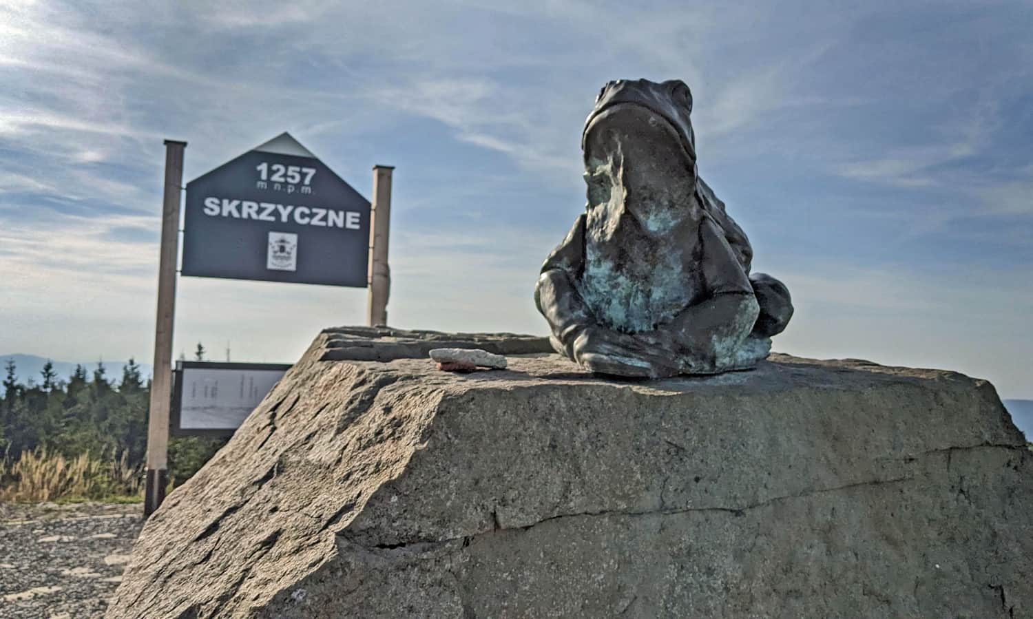
Skrzyczne and frogs: where did the name Skrzyczne come from?
One theory mentions a pond at the top of the mountain, which was home to so many frogs that their croaking gave the whole mountain the name first "Skrzecznia", and then "Skrzyczne".
And Skrzyczne and spiders?
About 20 caves were discovered in the Skrzyczne massif. One of them, located just below the peak, above Hala Jaworzyna, is called "Spider Cave". It owes this name to the unusually large population of arachnids that inhabit it.
