
Shortest trail to Skrzyczne from Szczyrk
Nearby: Bielsko-Białarestaurant Restaurant or bar nearby
wc Toilet along the route
The shortest walking route to the top of Skrzyczne (1257 m above sea level) is the blue trail from Szczyrk. Although the distance is less than 4 km, it's important to know that it won't be easy and the path can get quite steep. This short route has a significant height difference (over 700 m).
Start of the blue trail to Skrzyczne in Szczyrk
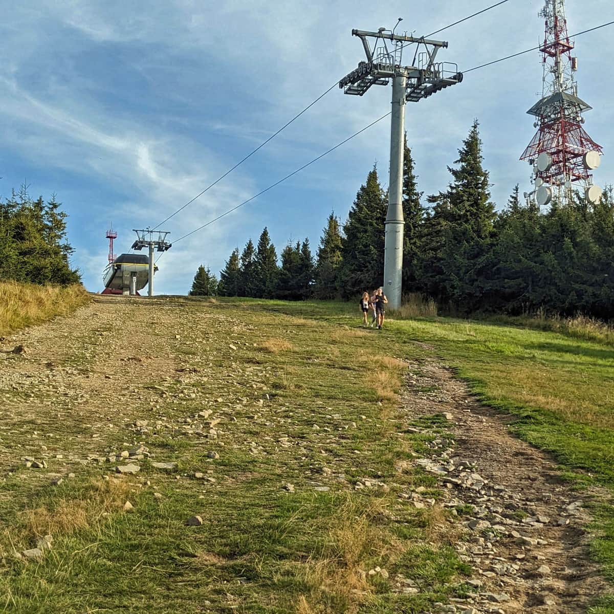
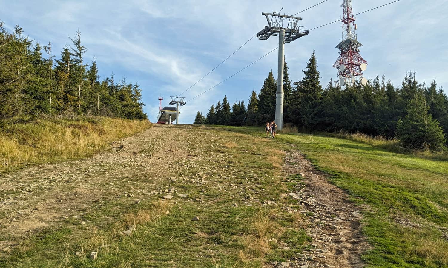
The blue trail to Skrzyczne starts at the lower chairlift station and mainly follows its line. Fortunately, this doesn't mean that you'll be climbing a steep ski slope all the time!
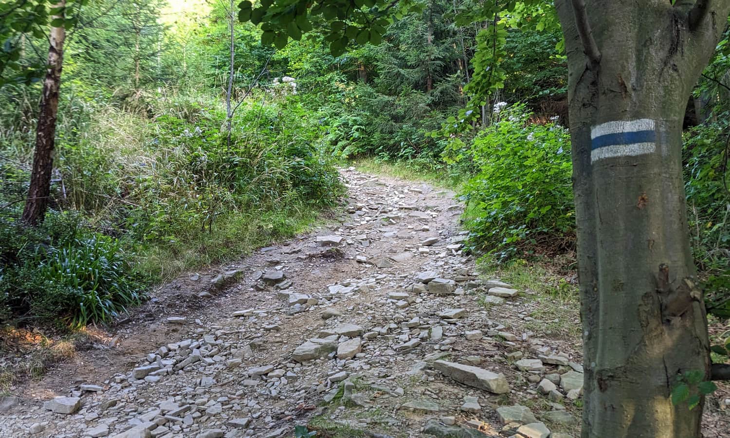
Blue trail to Skrzyczne from Szczyrk
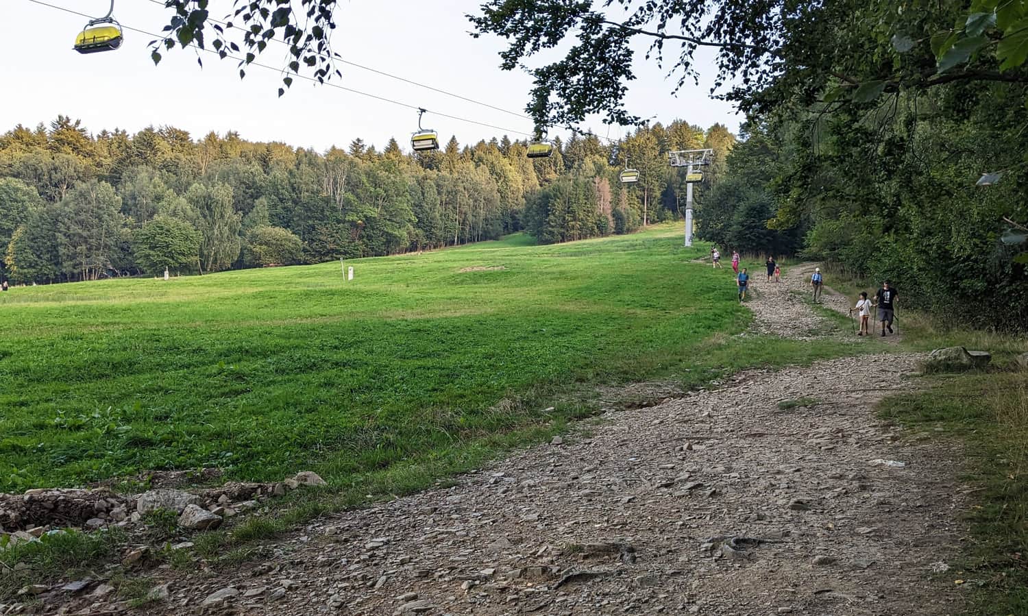
After a short stretch across a meadow, we enter a forest. Of course, we'll be climbing uphill all the time, but at least in the shade.
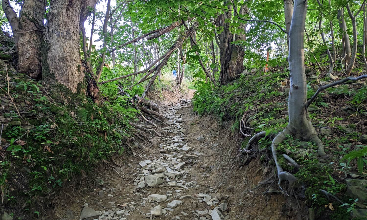
...and further uphill:
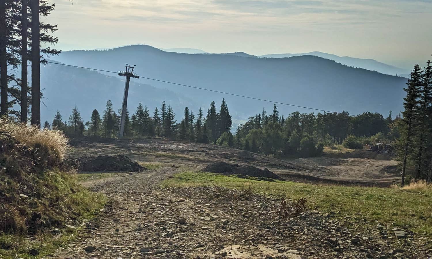
Roughly halfway along the route, we cross a slope near the transfer station of the chairlift at Hala Jaworzyna. There are food outlets here during the season.
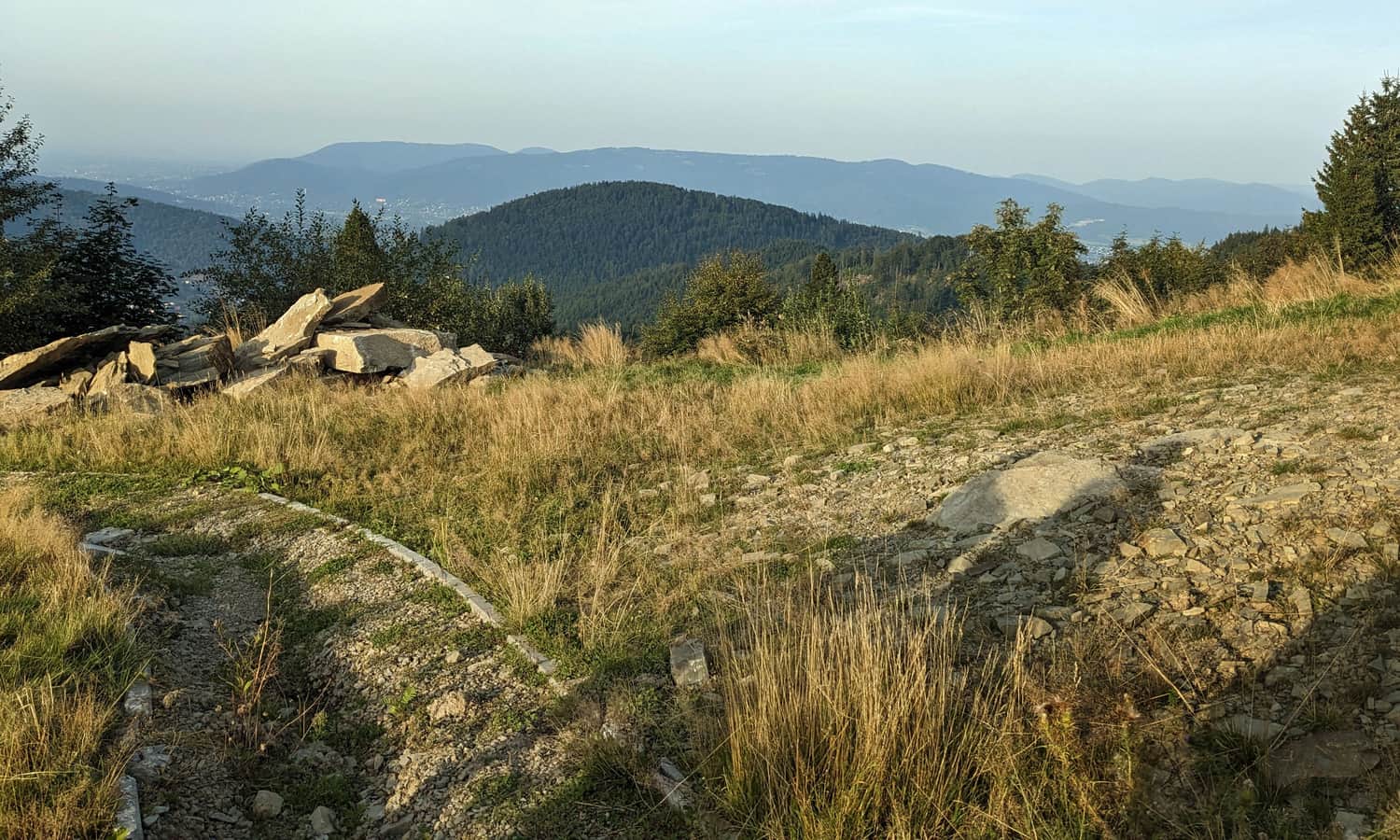
Views from the trail to Skrzyczne
The only advantage of the blue trail to Skrzyczne from Szczyrk (not forgetting the obvious disadvantage that it's steep, steep, and steep again) is the views. It's really worth stopping and looking back and around!
Here's the view from the trail to the north:
...to the west:
and to the east:
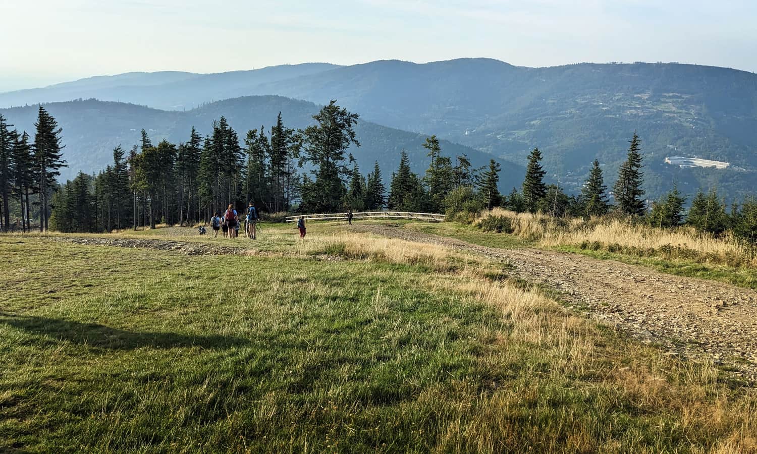
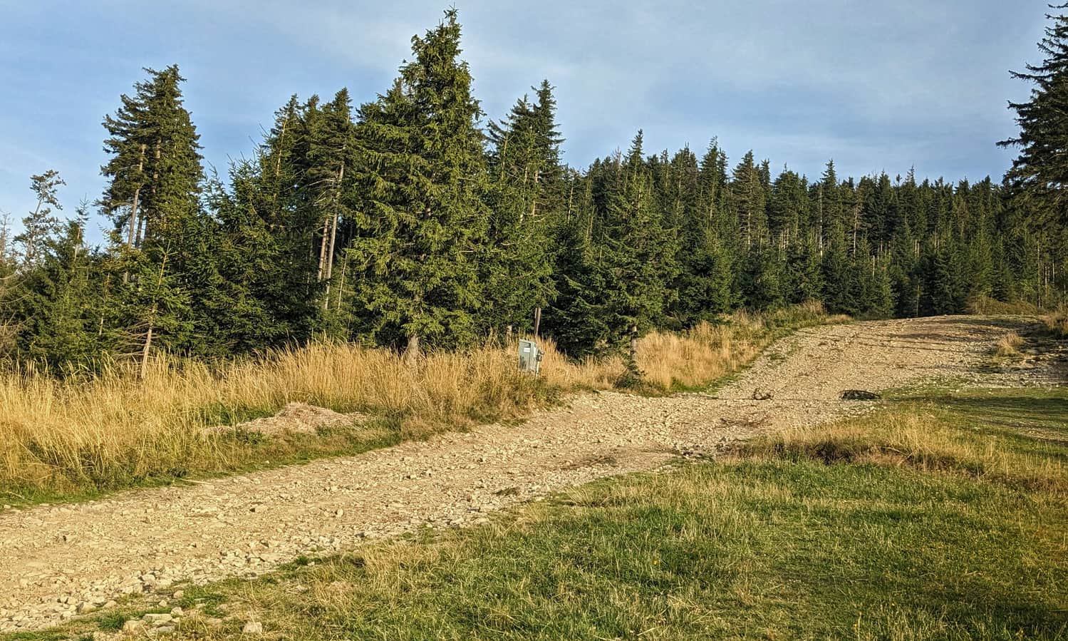
The second climbing section runs through the forest, this time on the left, eastern side of the chairlift line. However, we soon come out onto the meadows again and after the final steep climb, we reach the upper chairlift station and viewing platform.
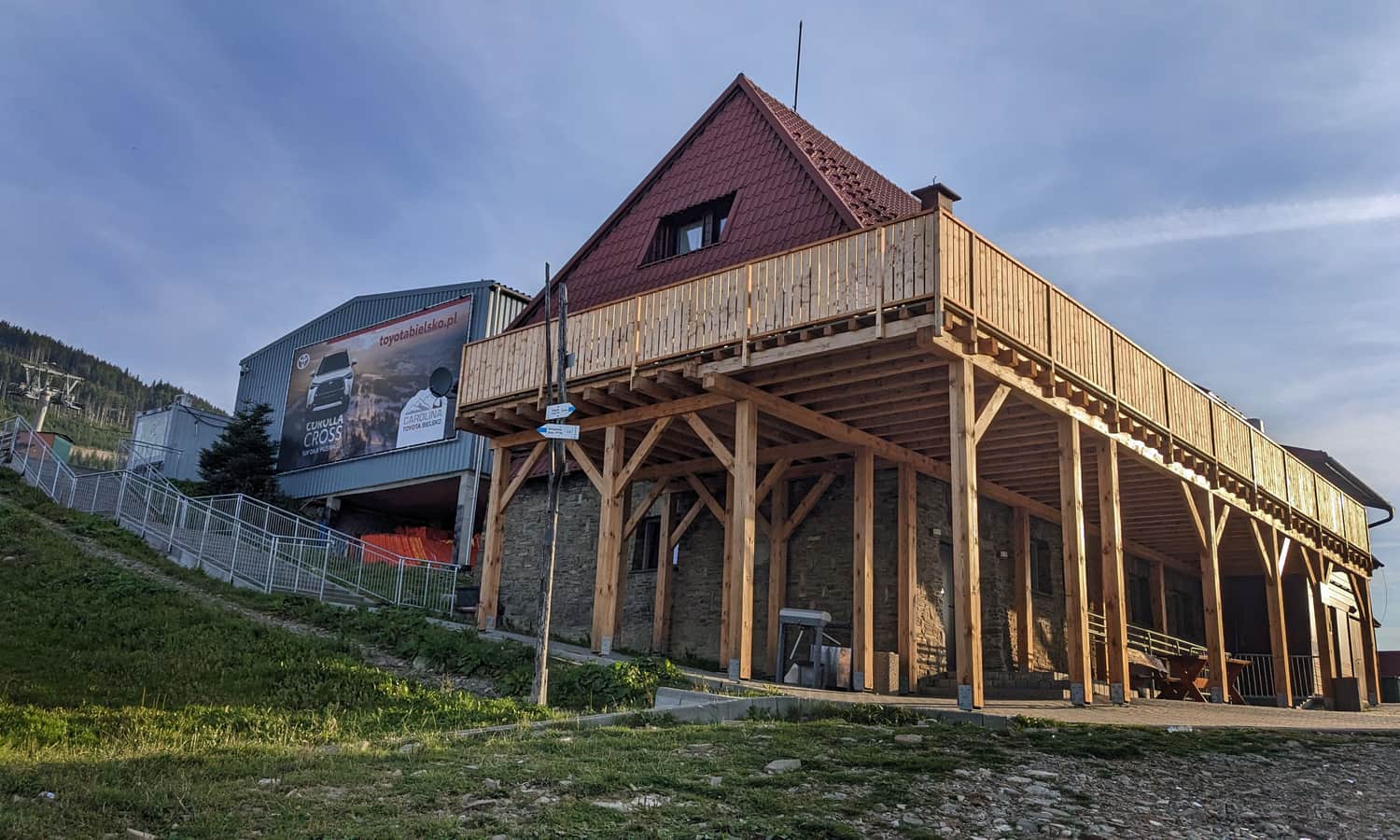
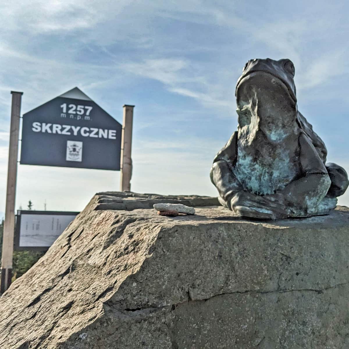
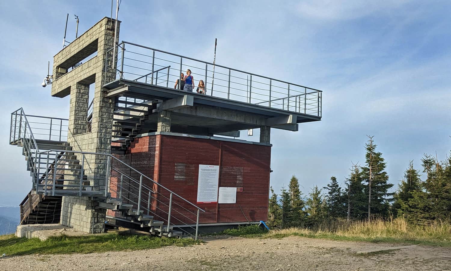
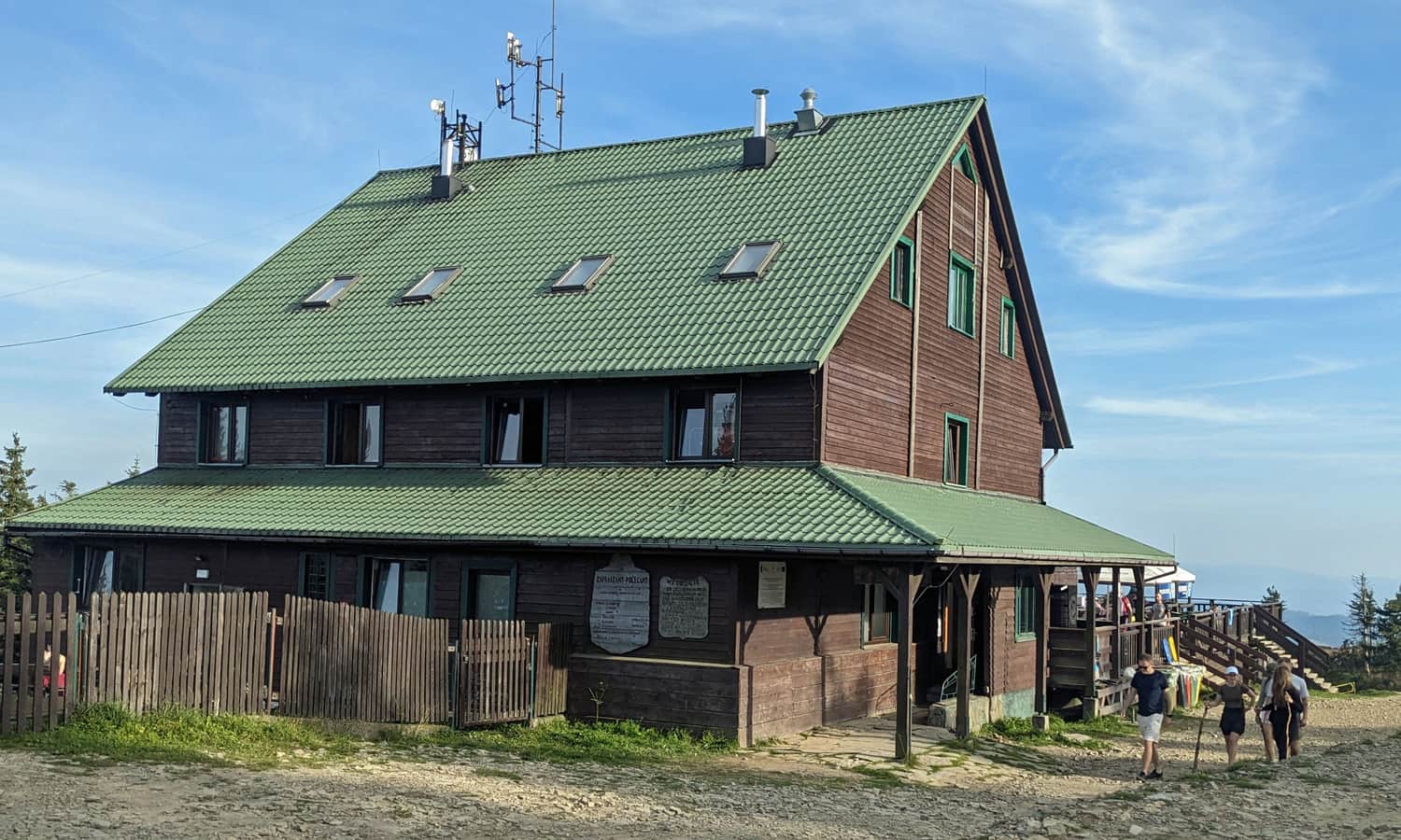
Skrzyczne, 1257 m above sea level - peak, shelter, views
The peak of Skrzyczne is a bit higher (where the tall mast is), and the shelter (offering simple meals, sweets, drinks, souvenirs, and a toilet) is slightly below the peak and the chairlift station.
...and what is this frog doing at the top? More about Skrzyczne and other routes to the top can be found here:
Skrzyczne - trails to the highest peak of the Silesian Beskids
Skrzyczne (1257 m above sea level) - the highest peak of the Silesian Beskids is famous for its exceptionally steep slopes and the most famous Beskids ski resort. What should you know about Skrzyczne peak, the shelter, and the trails leading here? ...
The most beautiful views will be not from the peak itself, but from the viewing platform (to the north and north-west) and from the meadows next to the shelter - to the south-east.


More in the Region Beskid Śląski (Silesian Beskid)


