
Blue trail to Skrzyczne from Lipowa
Nearby: Żywiec| Distance | 4.4km |
|---|---|
| Time | 2h 56min |
| Ascents | 734m |
| Descents | 13m |
wb_sunny Route in the sun
restaurant Restaurant or bar nearby
directions_car Access by car
directions_bus Can be reached by bus
wc Toilet along the route
A fairly steep, but not very long and scenic trail to Skrzyczne from Lipowa. It's quieter compared to the trails from Szczyrk, and you can also combine it into a loop with the green trail through Malinowska Skala and the yellow one through Zimnik Valley.
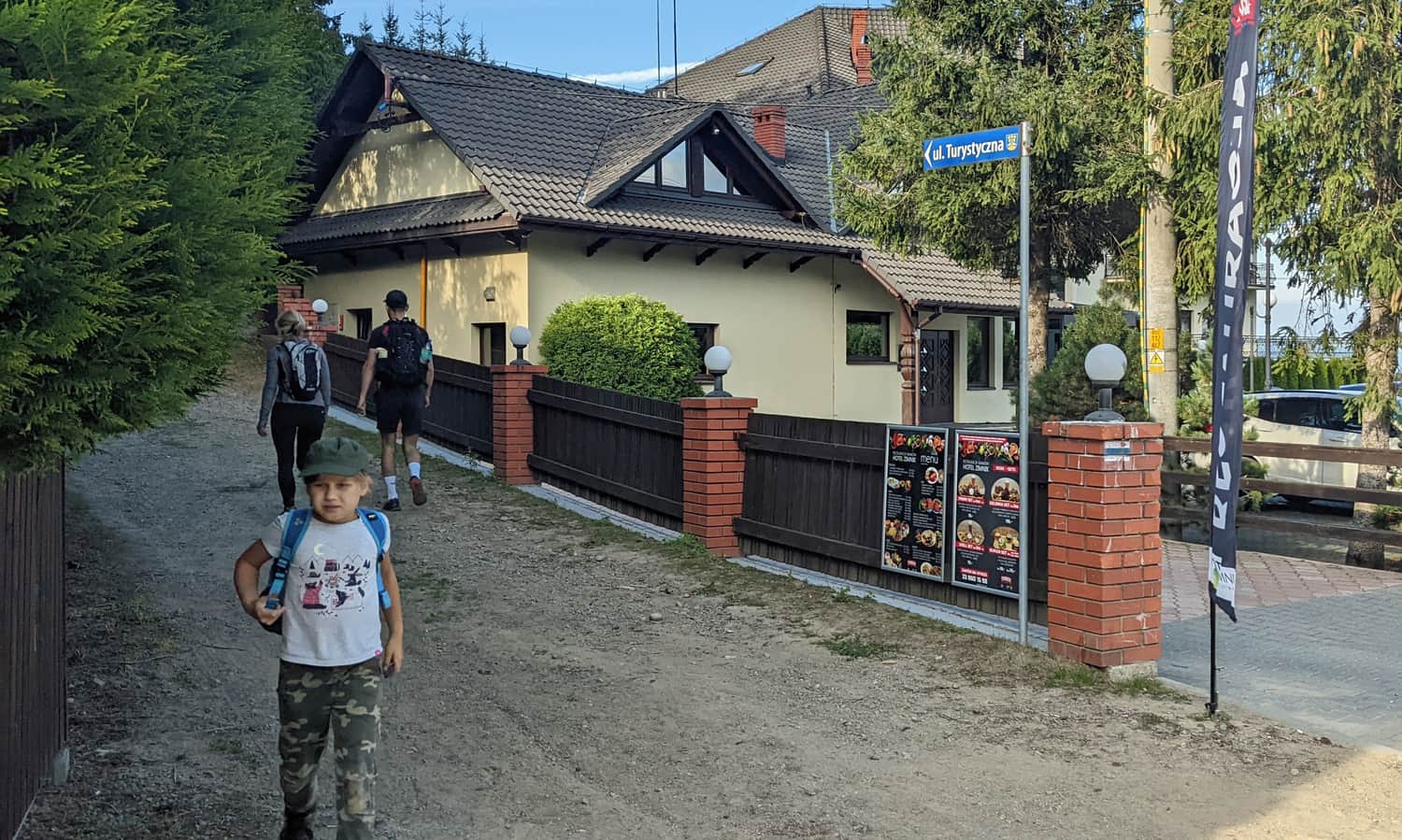
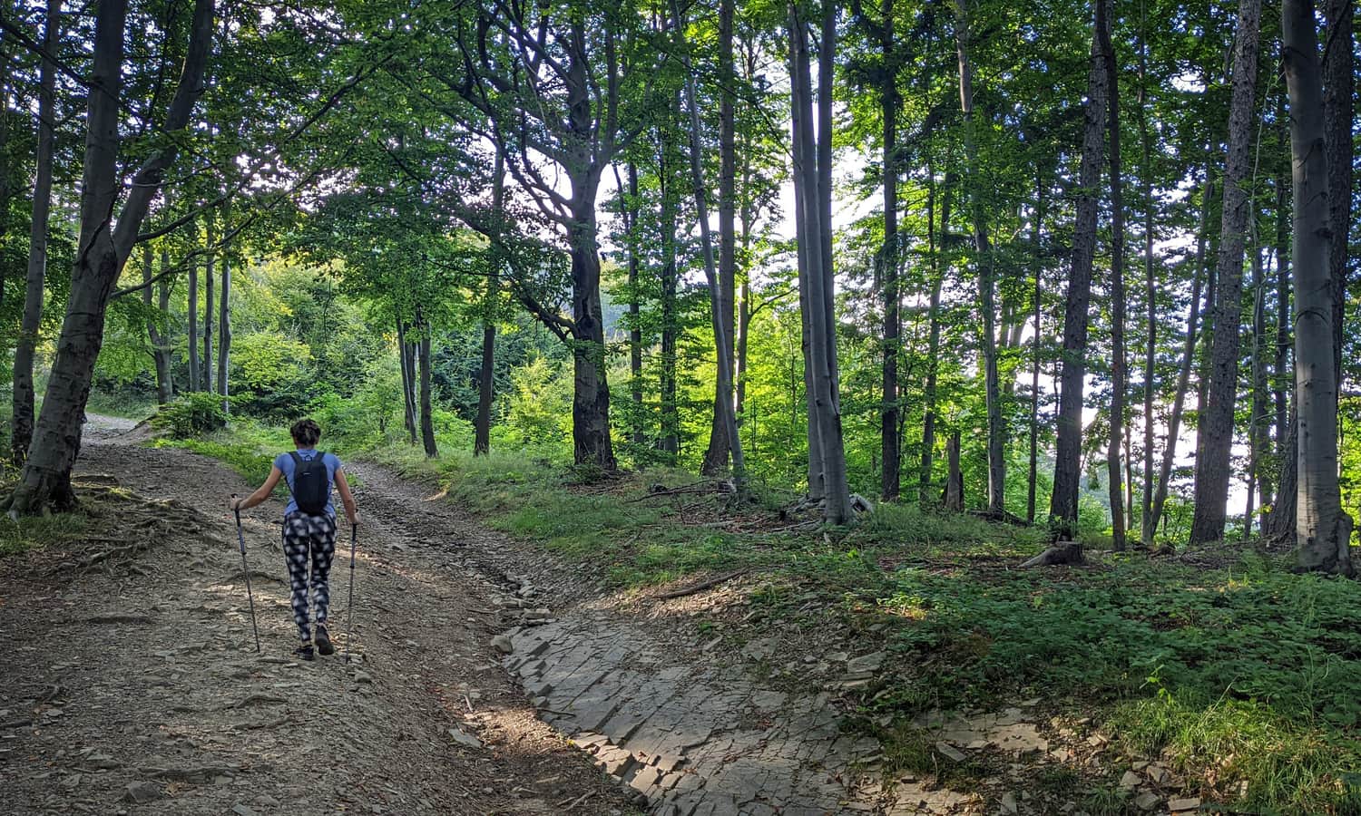
Start of the blue trail in Lipowa
The blue trail starts in Lipowa at the PKS Ostre "Rondo" - intersection of Dolina Zimnika Street and Turystyczna Street. There are paid parking lots here, and free parking at the forestry office.
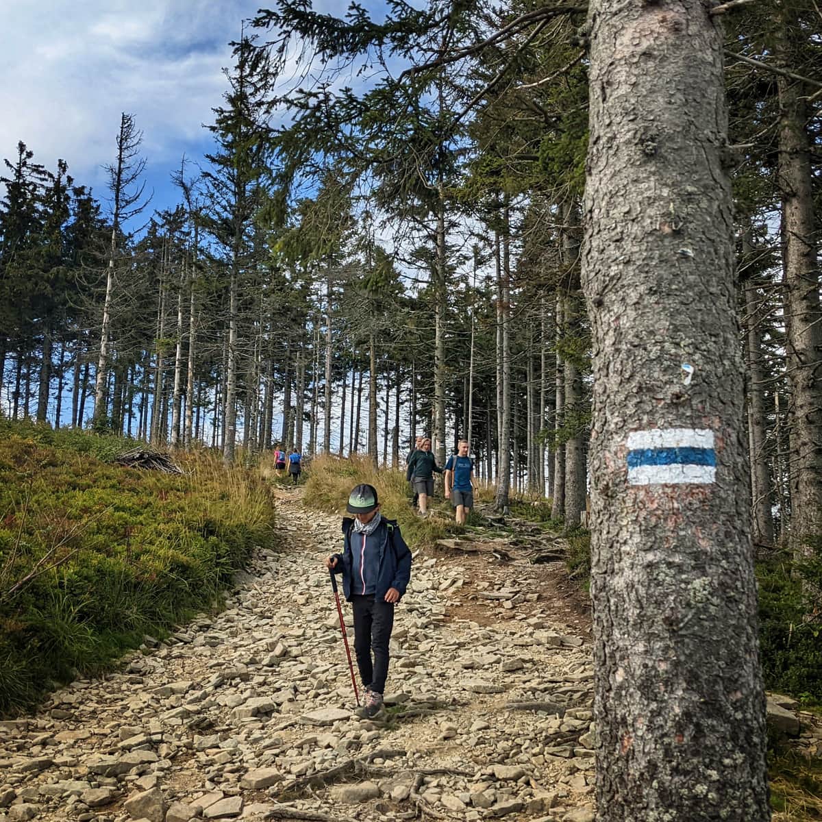
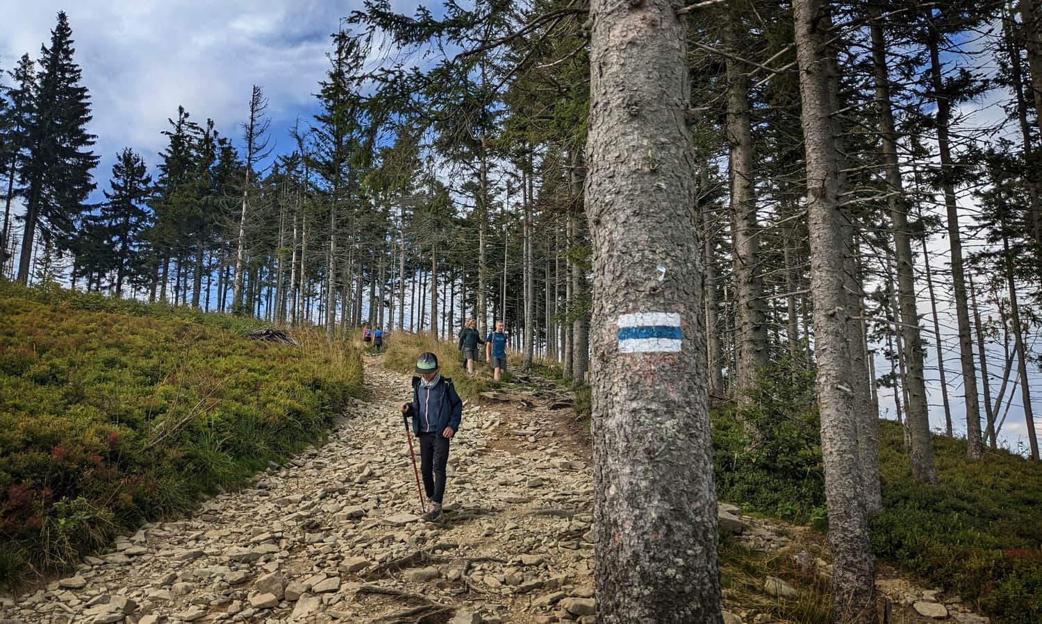
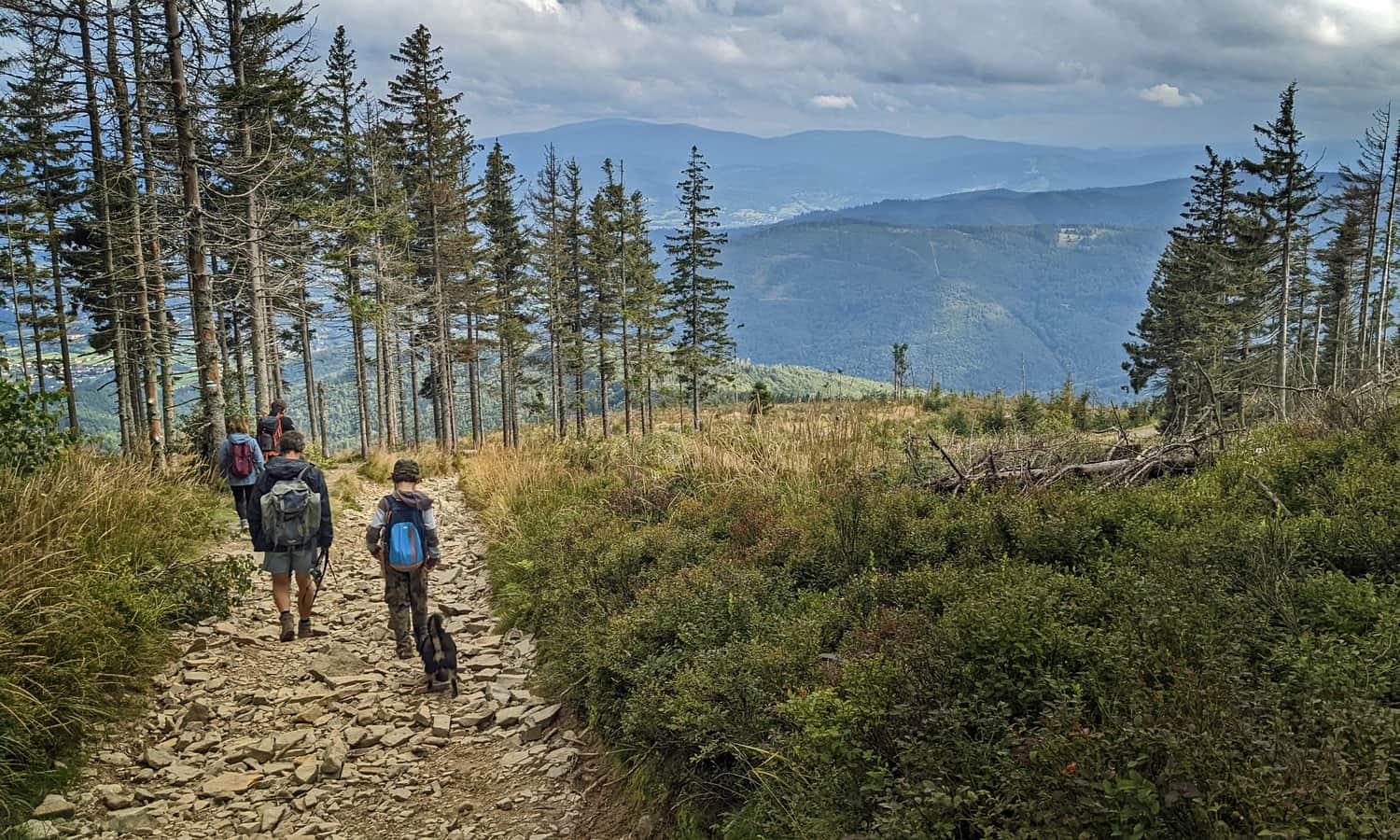
From the moment you enter the trail, a rather steep, rocky road uphill begins. It's worth looking back to notice how quickly we are climbing!
Don't worry, there will be calmer, forest sections - even quite "walkable" ones:
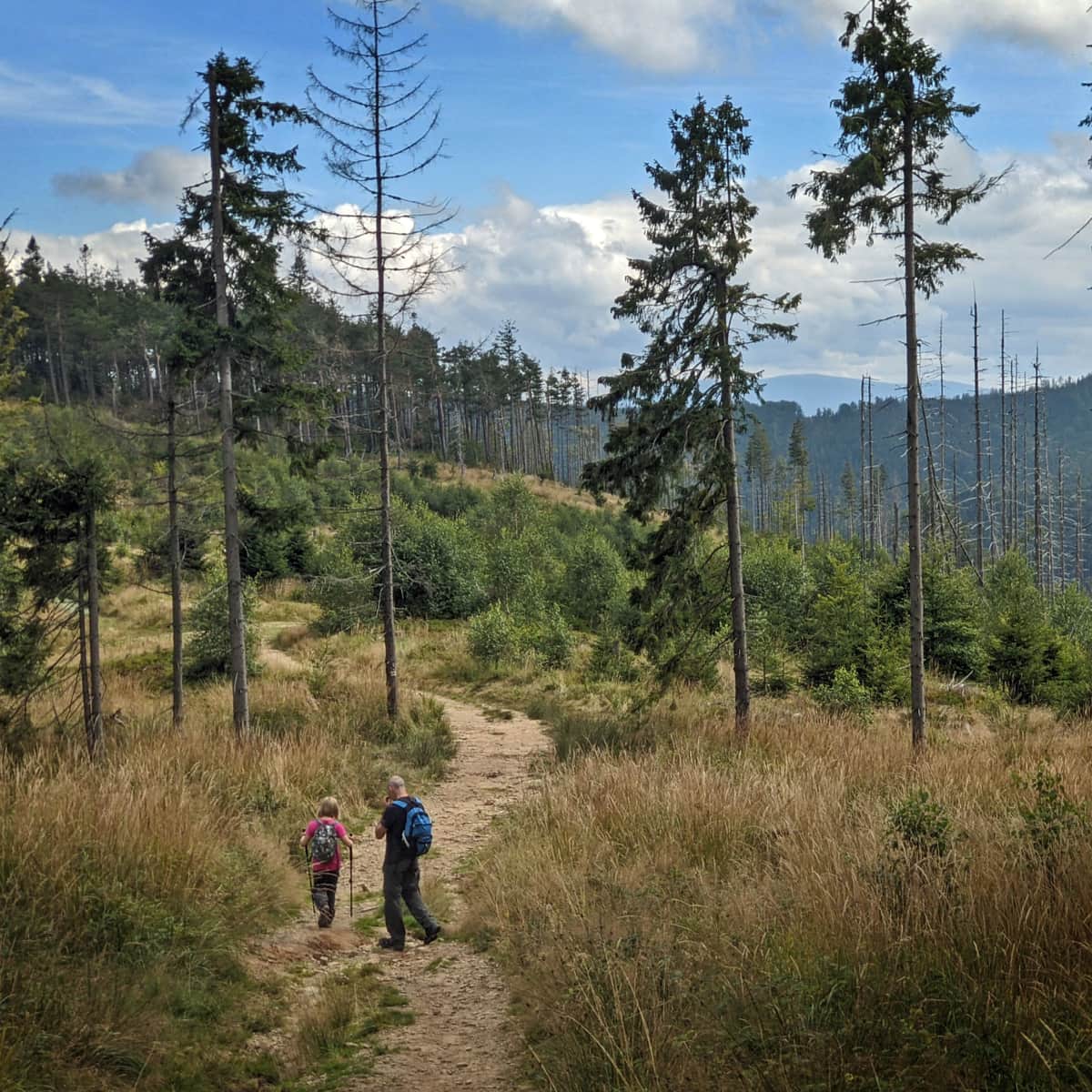
Views from the blue trail to Skrzyczne
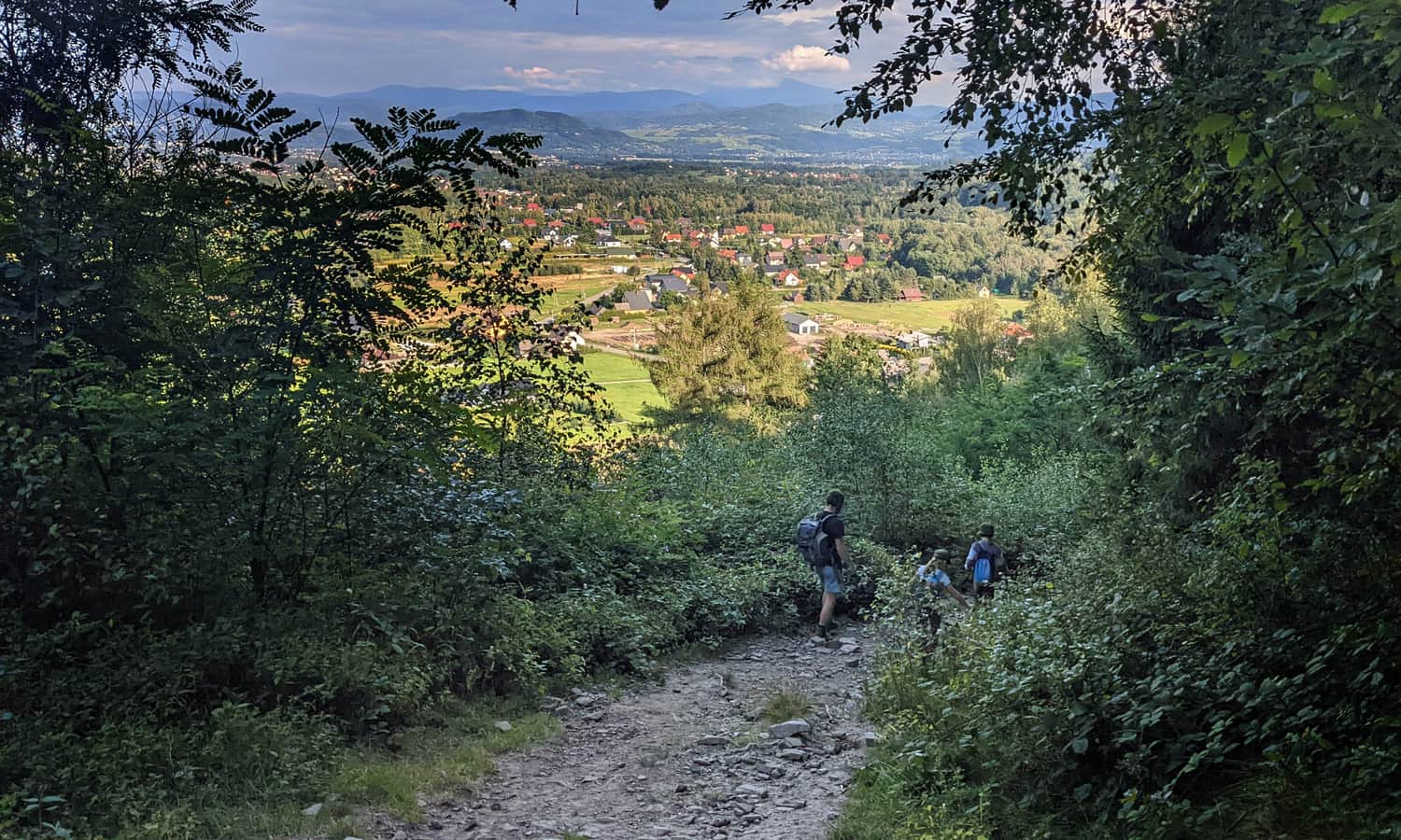
When the forest becomes thinner and the sun becomes more bothersome on a hot summer day, it's a sign that first: the summit is getting closer...
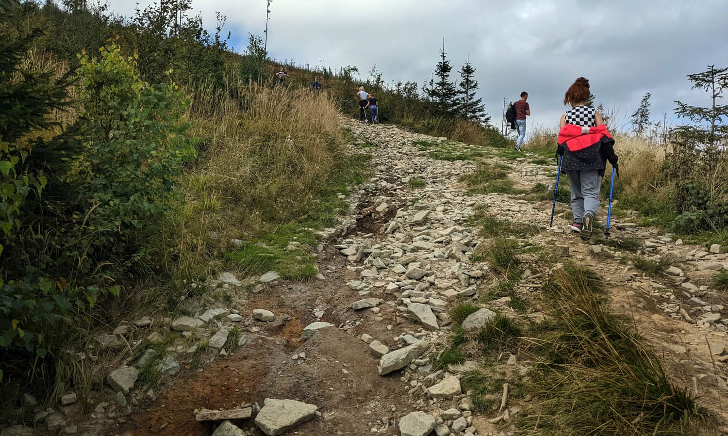
...second: it's worth stopping and looking back at the increasingly beautiful views!
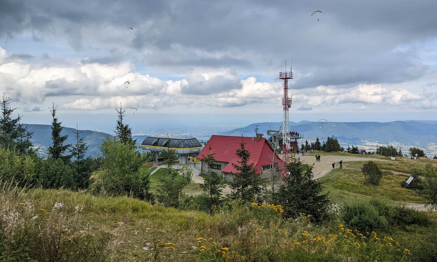
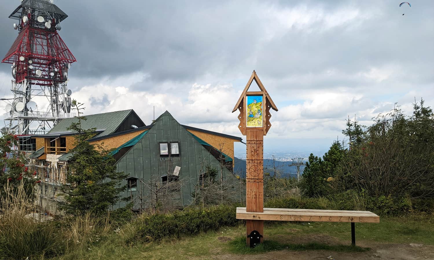
PTTK Shelter and Skrzyczne summit 1257 m above sea level
After about 3 hours from entering the trail, we reach our destination: first, we will see the PTTK shelter (viewing terrace, hot meals, snacks, drinks):
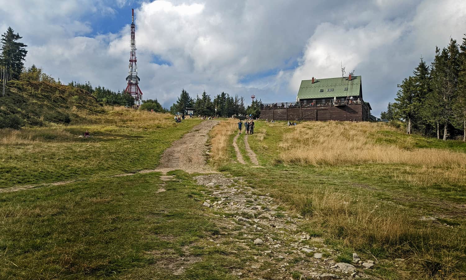
Just above the shelter is the upper station of the cable car from Szczyrk, and a mini-observation tower and paragliders' starting point.
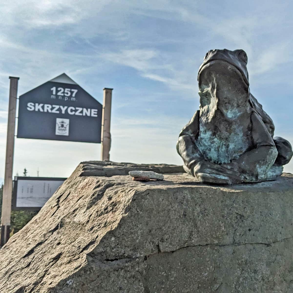
From here, we will reach the summit of Skrzyczne in 5-10 minutes - there awaits us a mast, plaque, bench... and a frog! As well as, of course, the satisfaction of conquering the highest peak of the Silesian Beskids, which is part of the Crown of Polish Beskids and the Crown of Polish Mountains. However, for the views, it's worth going back to the meadows by the cable car or shelter.
More about Skrzyczne, attractions at the top and other trails leading here in the article:
Skrzyczne - trails to the highest peak of the Silesian Beskids
Skrzyczne (1257 m above sea level) - the highest peak of the Silesian Beskids is famous for its exceptionally steep slopes and the most famous Beskids ski resort. What should you know about Skrzyczne peak, the shelter, and the trails leading here? ...
Return to Lipowa through Malinowska Skala
We can return to Lipowa by the same trail, or make a loop: go along the ridge to Malinowska Skala on the green trail:
Easy
Skrzyczne - Malinowska Skala

...and then descend on the yellow trail through Zimnik Valley to Lipowa - exactly to the entry point of the blue trail:
Medium
To Malinowska Rock from Lipowa

This will be a beautiful, longer trip (in total about 5.5 hours, 16 km, 800 m altitude differences):


Publish Date:
Last Updated:
More in the Region Beskid Śląski (Silesian Beskid)


