
To Malinowska Rock from Lipowa
Nearby: Żywiec| Distance | 7.4km |
|---|---|
| Time | 3h 34min |
| Ascents | 688m |
| Descents | 67m |
beach_access Route in the shade
directions_car Access by car
directions_bus Can be reached by bus
Malinowska Rock with its famous rock outcrop is one of the most popular and picturesque peaks of the Silesian Beskids. You can reach it through various trails from Wisła Malinka and Szczyrk, but we recommend the yellow trail from Lipowa near Żywiec.
Yellow trail from Lipowa to Malinowska Rock
This quite popular and easy trail will lead us to the top of Malinowska Rock, and maybe even further, to Skrzyczne? We start our hike at the forestry office in Lipowa Ostre (free parking). You can also reach here by bus - PKS Ostre "Rondo" stop.
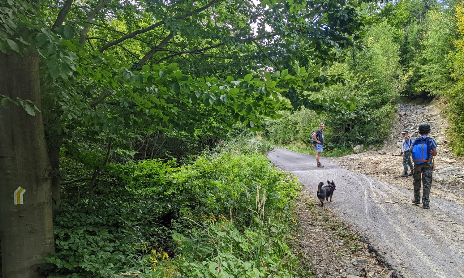
Zimnik Valley
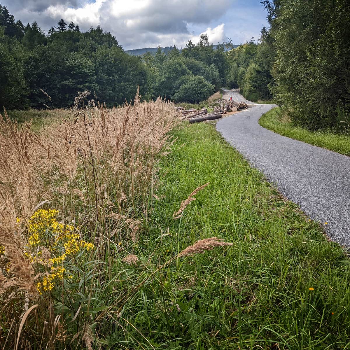
The first section of the trail is a rather monotonous walk... on an asphalt road. We walk along the stream for over an hour and very gently ascend.
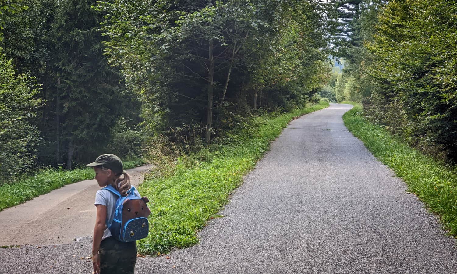
Instead of going on the "highway", we can choose a beaten, forest educational path, which leads below the road, closer to the water. Here there will be more shade, and we will reach the asphalt anyway (we will bypass about 1/3 of this section).
More about Zimnik Valley:
Easy
Zimnik Valley in Lipowa

Yellow trail - forest climbing
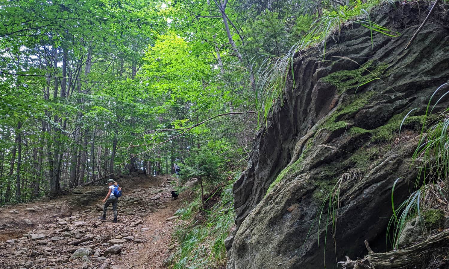
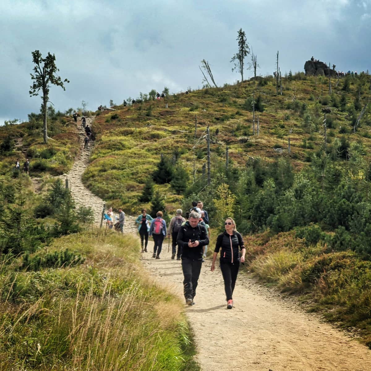
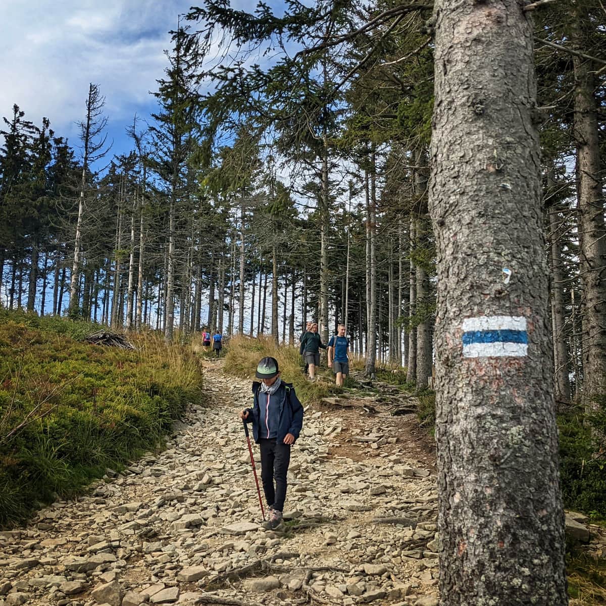
Tired of asphalt? After about 1.5 hours from entering the trail, the climb begins! And it's quite steep, over loose stones...
Luckily, it will be easier later!
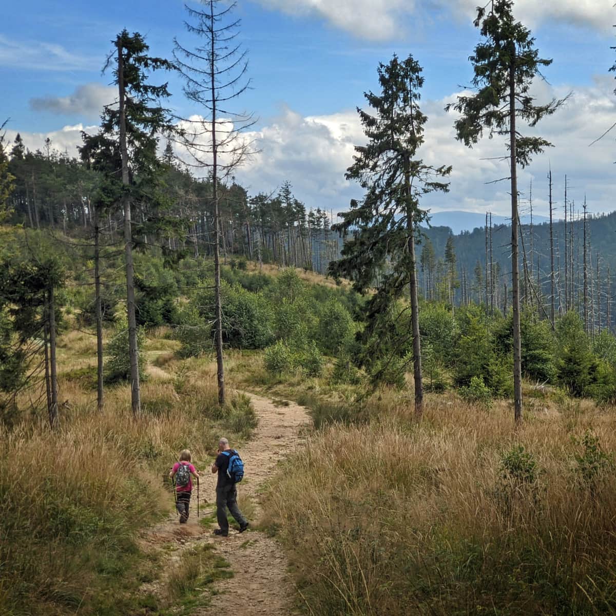
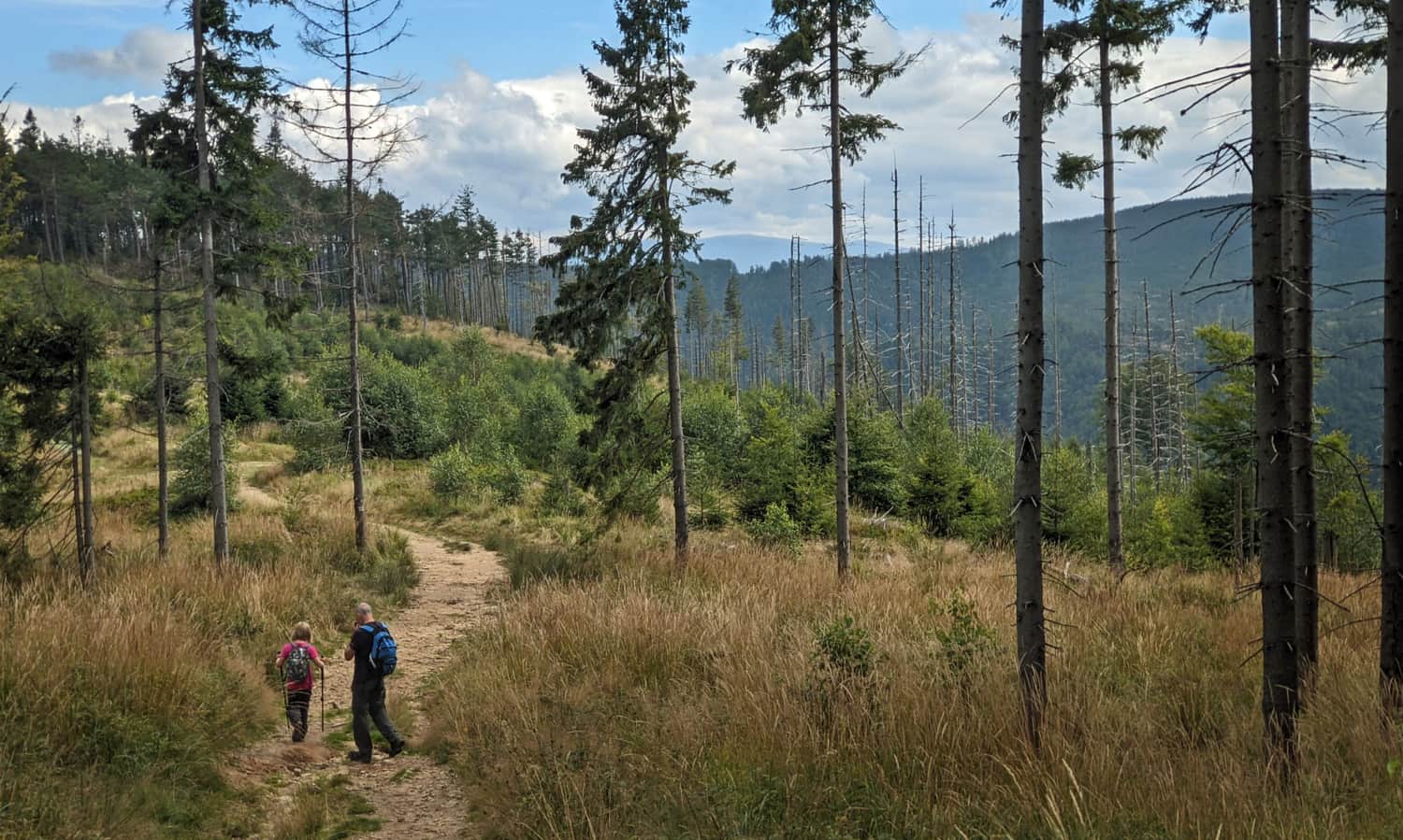
We will ascend, but more calmly, comfortable forest tracks.
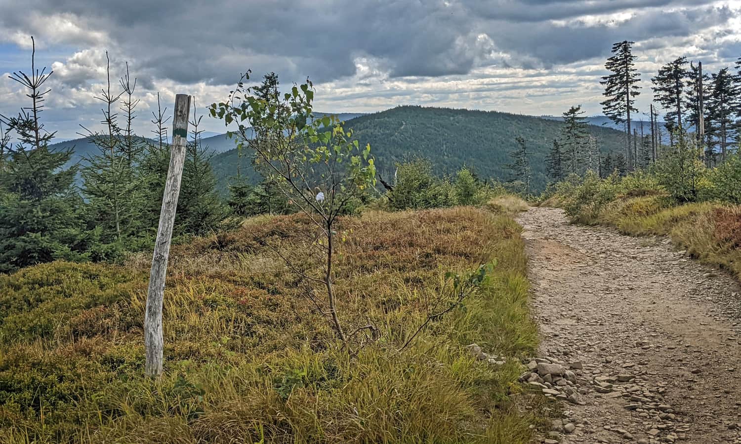
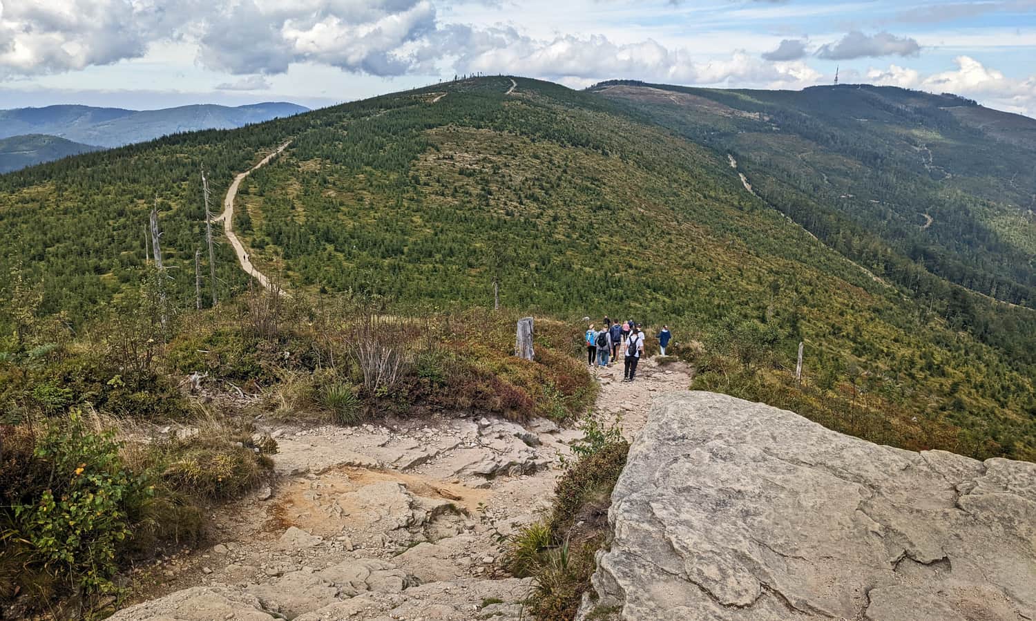
About an hour after entering the forest from Zimnik Valley, we will have views of the surrounding hills.
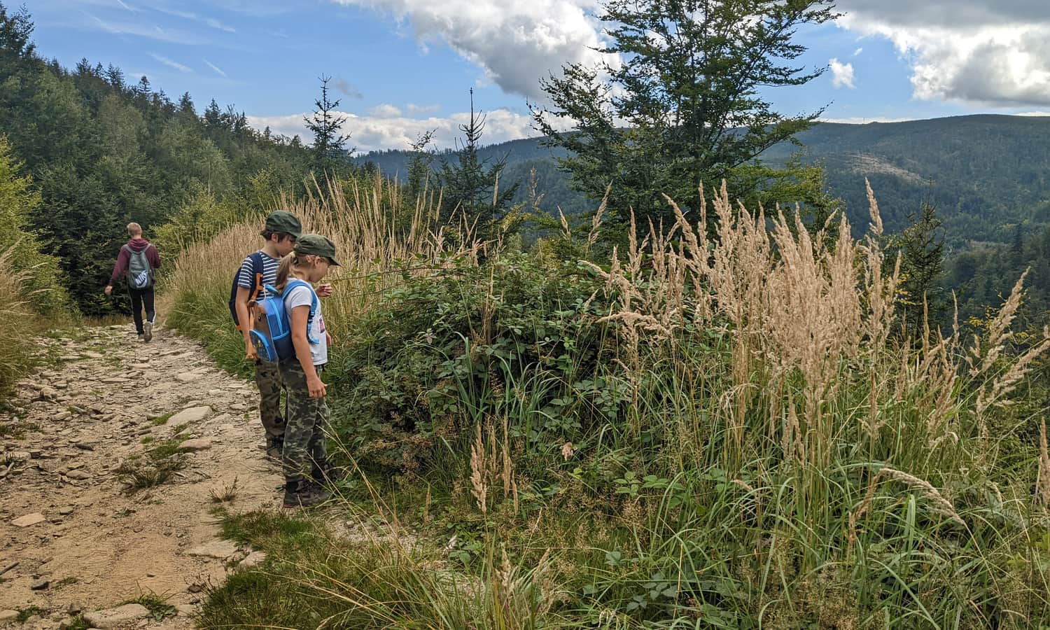
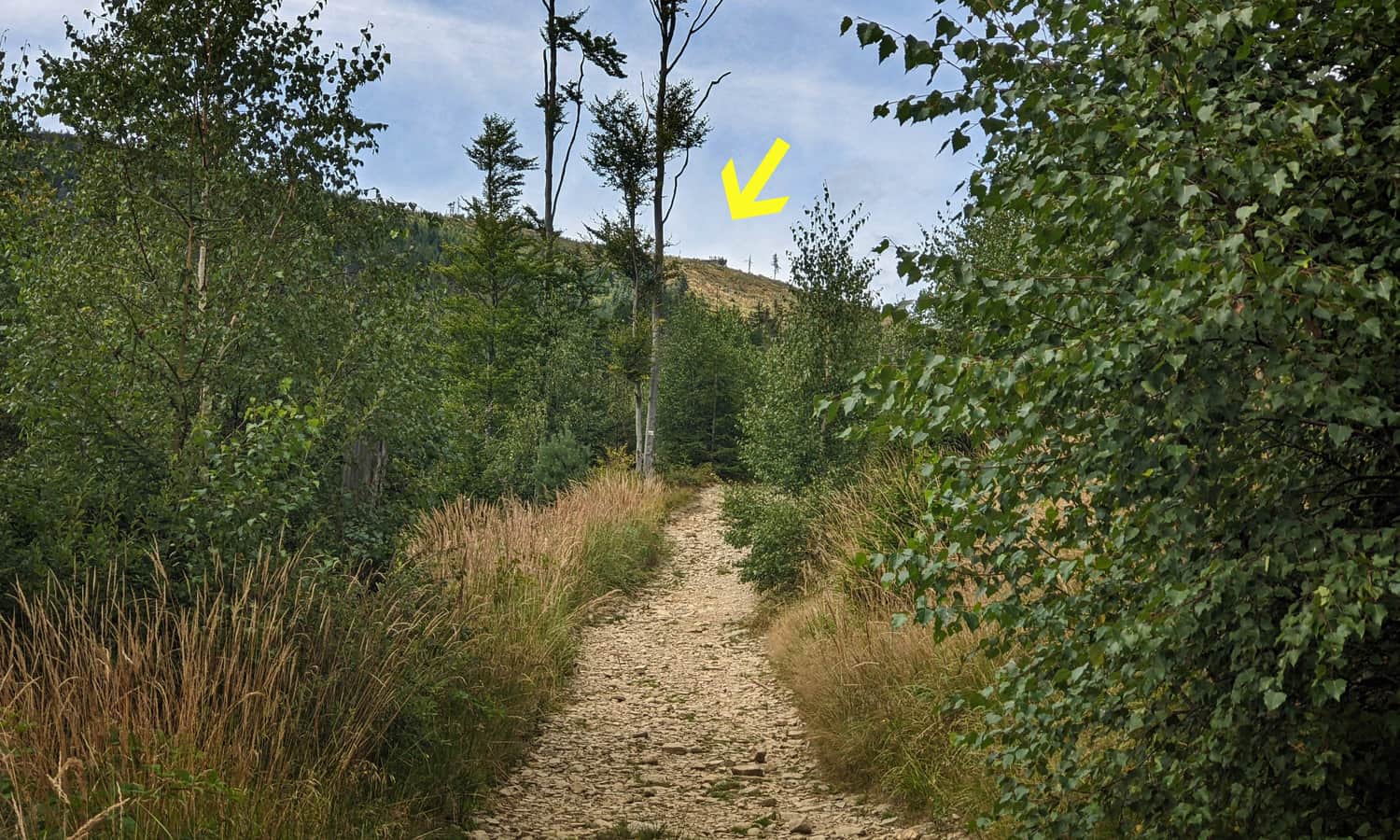
Soon we will also see the goal of our hike: the famous rock outcrop on Malinowska Rock!
Green trail to Malinowska Rock
The yellow trail will lead us to the crossroads under Malinowska Rock - from here we head up the green trail.
This is the last 15 minutes of climbing on our route!
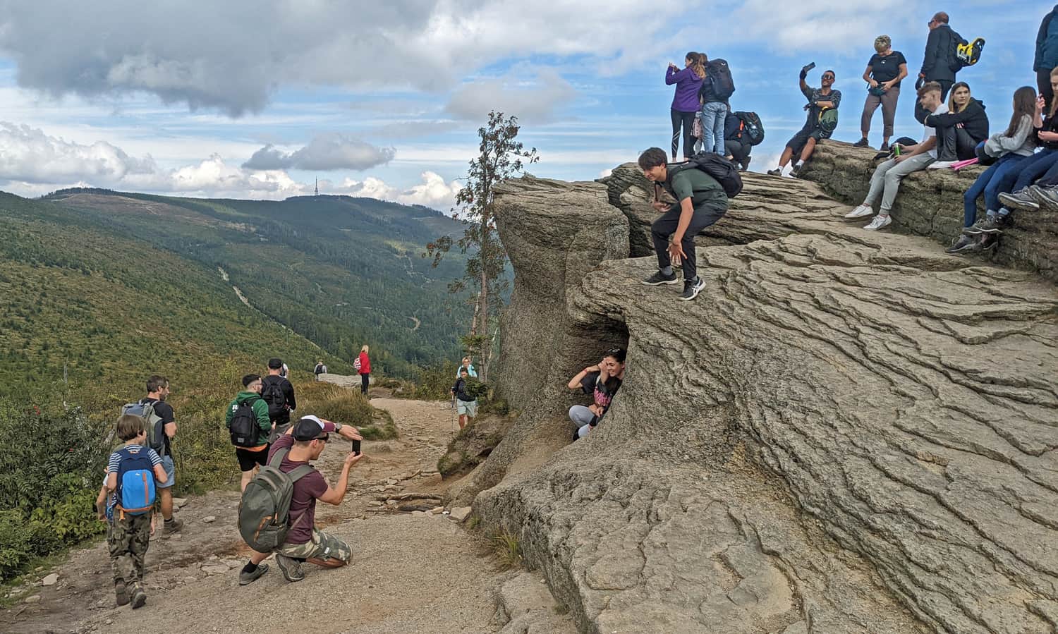
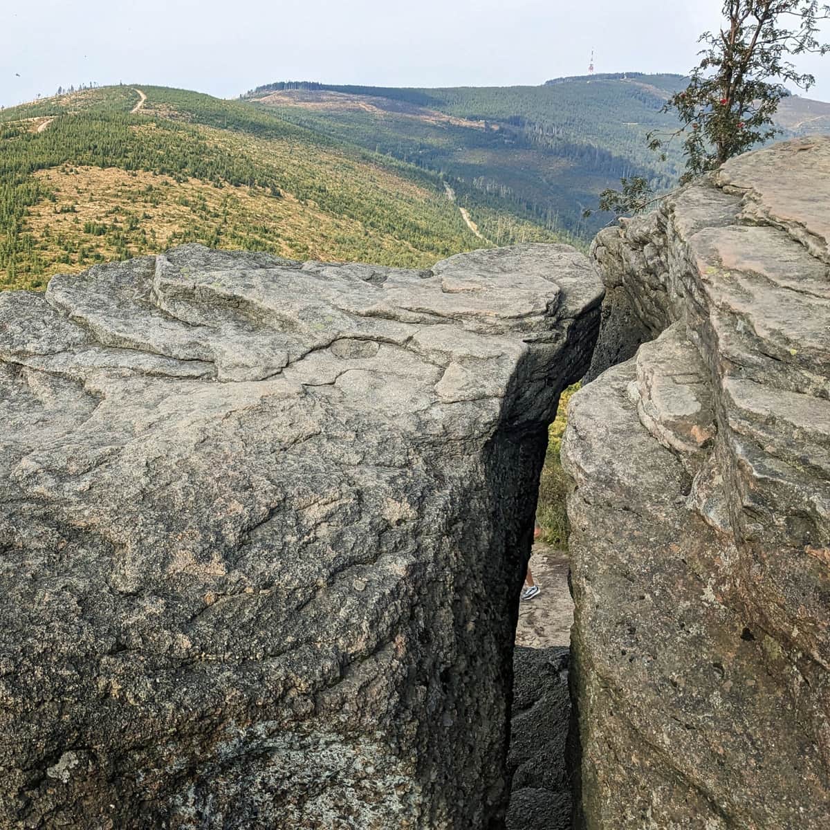
Malinowska Rock - 1152 m above sea level
Malinowska Rock is famous for its picturesque and photogenic rock outcrop. Unfortunately, because of this, it can get quite crowded here during the season or on weekends...
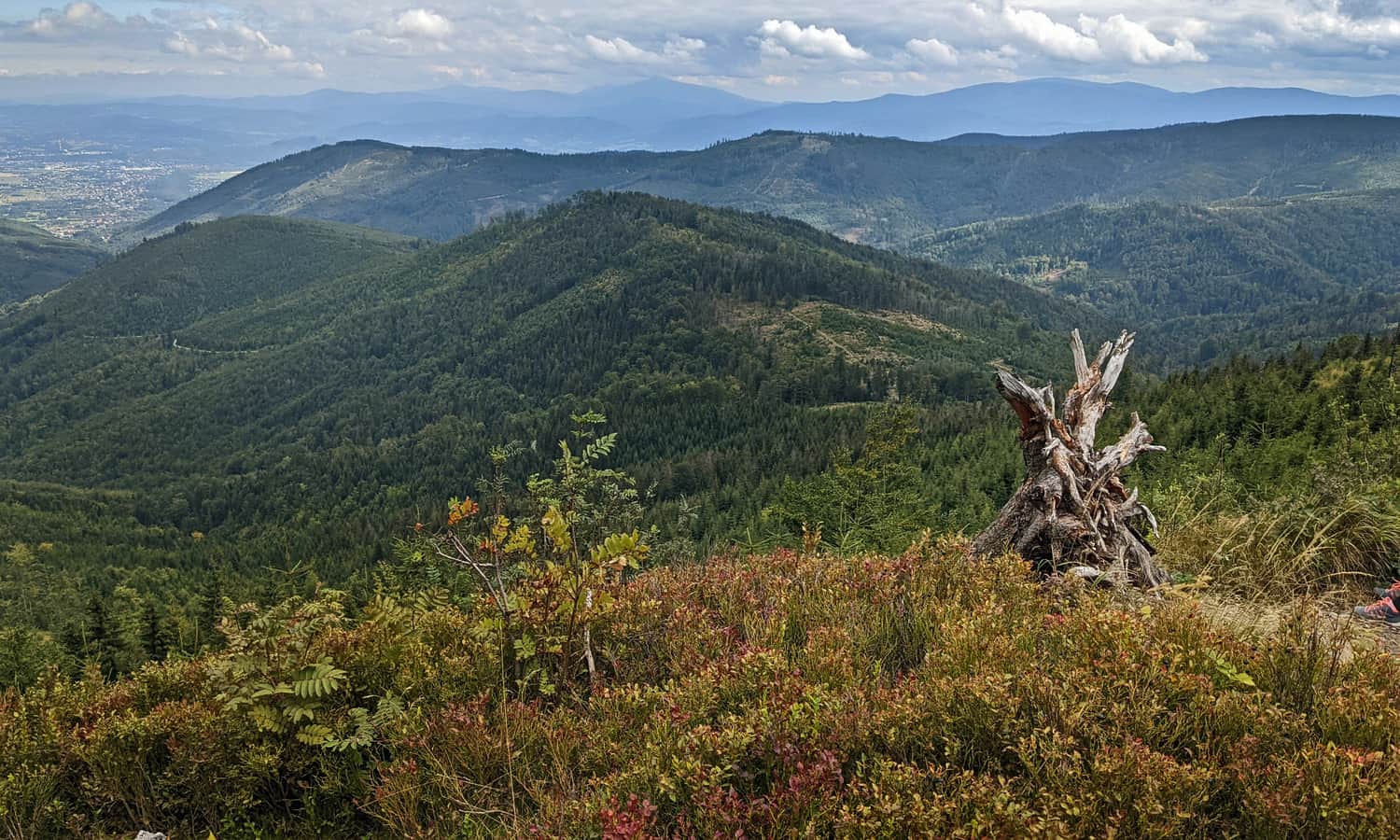
Perhaps tourists will block your view of the rock, but certainly not the views of the entire "Beskid sea" - neighboring hills of the Silesian and Żywiec Beskids, along with the majestic silhouette of Babia Góra - the Queen of the Beskids:
Find more interesting facts about Malinowska Rock here:
Malinowska Rock - facts, trivia and trails
Malinowska Rock (1152 m above sea level) is one of the most famous places in the Silesian Beskids. This incredibly picturesque rock outcrop has been captured in thousands of photos. Why is it so popular? How can you get there? Here's everything you need to know about Malinowska Rock! ...
Return from Malinowska Rock to Lipowa
You can return to Lipowa the same way, but admit that the convenient and scenic wide ridge route is tempting to head towards Skrzyczne (about 1.5 hours to the top and to the PTTK shelter):
Easy
Skrzyczne - Malinowska Skala

...and from Skrzyczne you will descend to Lipowa via the blue trail - exactly to the place where you entered the yellow trail through Zimnik Valley:
Medium
Blue trail to Skrzyczne from Lipowa

It will be a beautiful, longer trip (in total about 5.5 hours, 16 km, 800 m of elevation gain):

Publish Date:
Last Updated:
More in the Region Beskid Śląski (Silesian Beskid)


