
Malinowska Rock - facts, trivia and trails
Town: Szczyrk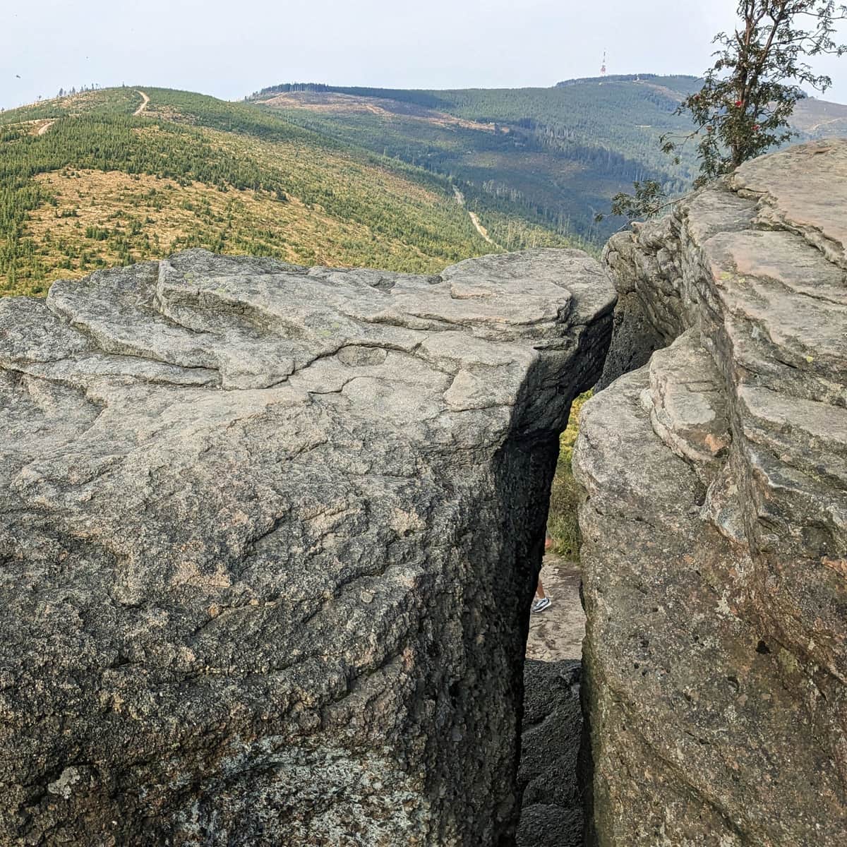
check_circle Slopes
check_circle Mainly in the sun
Malinowska Rock (1152 m above sea level) is one of the most famous places in the Silesian Beskids. This incredibly picturesque rock outcrop has been captured in thousands of photos. Why is it so popular? How can you get there? Here's everything you need to know about Malinowska Rock!
- Malinowska Rock - a must-see attraction in the Silesian Beskids
- Views from Malinowska Rock
- How to get to Malinowska Rock? All routes
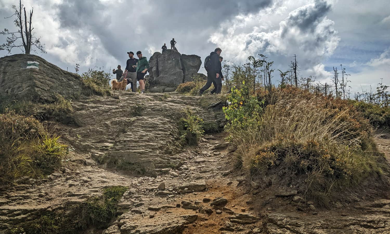
Malinowska Rock - a must-see attraction in the Silesian Beskids
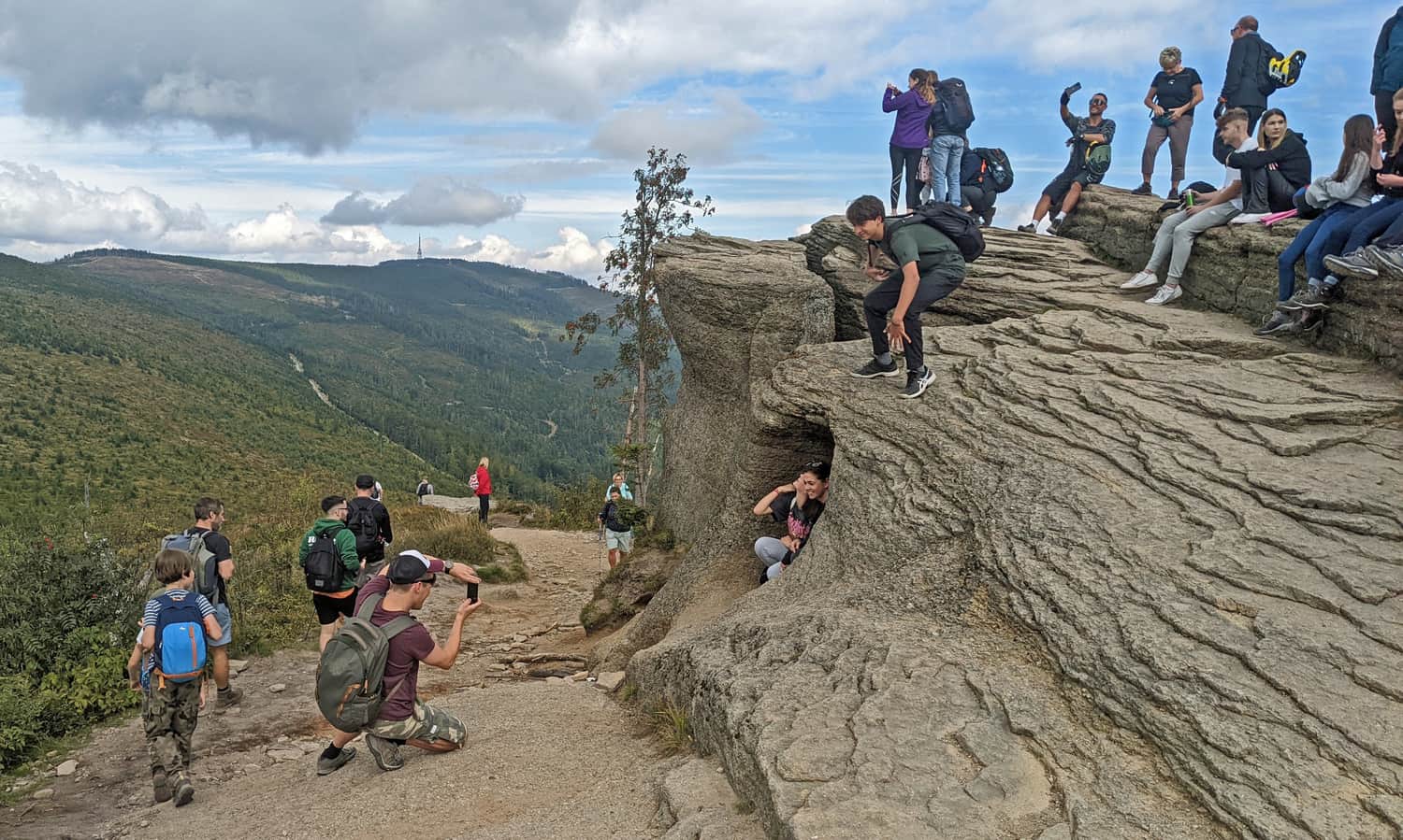
Among the numerous attractions of the Silesian Beskids, Malinowska Rock holds a permanent, well-deserved place. This extraordinary rock outcrop is beautifully located: almost in the middle of the Wiślańskie Range, between the very popular peaks: Barania Mountain (1215 m above sea level) and Skrzyczne (1257 m above sea level) - the highest peak in the Silesian Beskids. Thanks to this location, it is both perfectly visible and provides a unique viewpoint for the surrounding Beskids ranges.
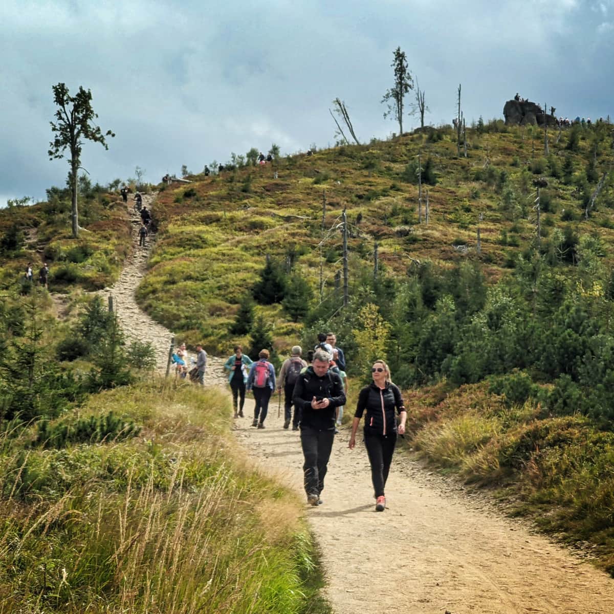
The only downside of this place is its "siege"... We often have to wait in line to take a photo here.
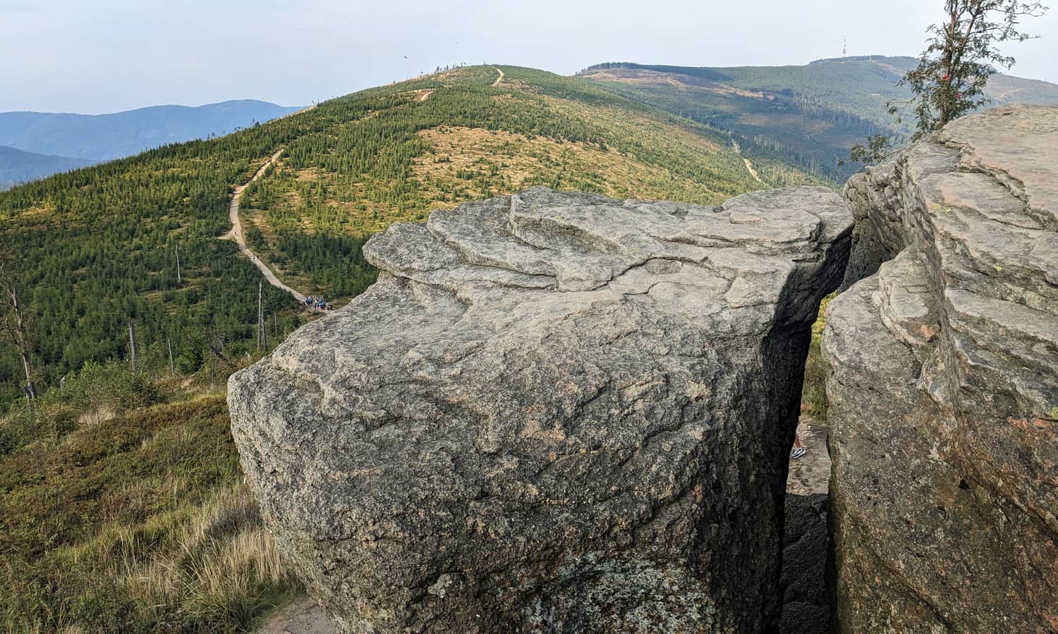
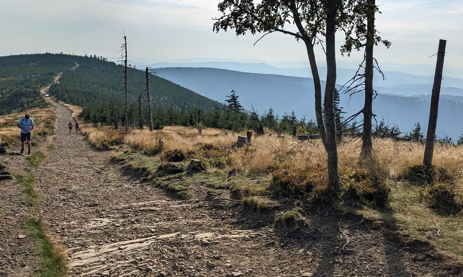
Views from Malinowska Rock
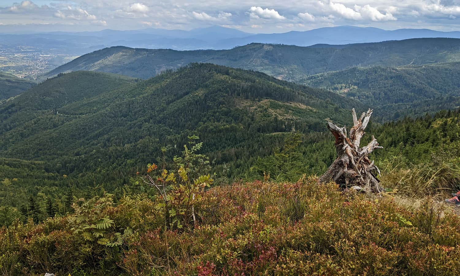
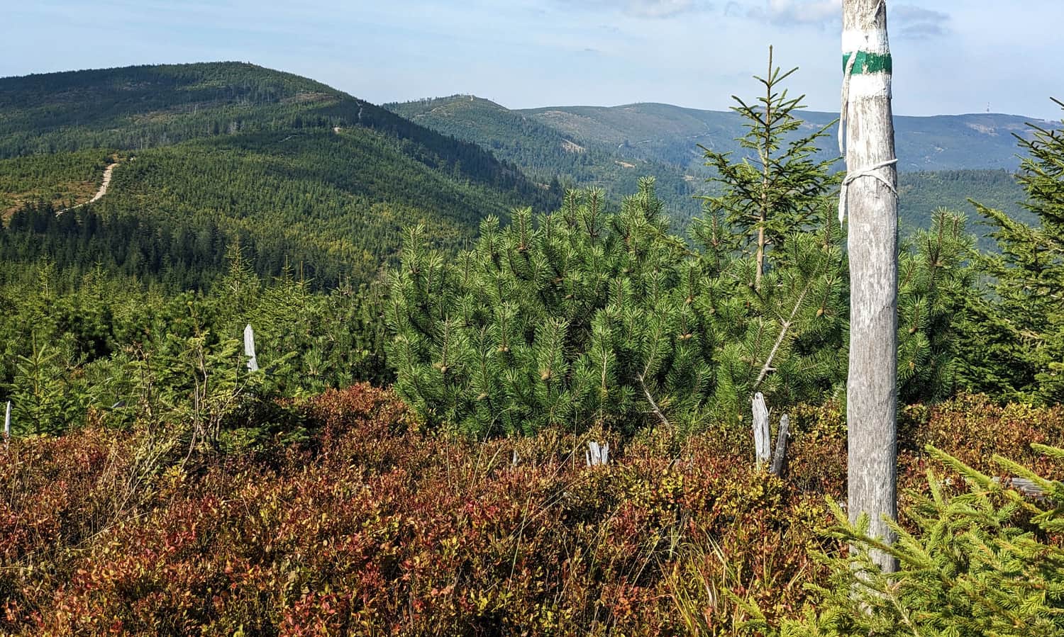
With good weather and visibility from Malinowska Rock, we will see not only the surrounding peaks of the Wiślańskie Range, i.e., Skrzyczne to the north and Barania Mountain to the south, but also the neighboring Czantoria and Stożek ranges as well as Szyndzielnia and Klimczok. To the northeast, we will see the ridges of the Small Beskids, to the southeast the Żywiecki Beskids with Babia Góra and Pilsko. And even further - the Tatra Mountains.
How to get to Malinowska Rock? All routes
Malinowska Rock is a junction of ridges and at its foot is the intersection of several trails: green (Szczyrk - Wisła), red from Salmopolska Pass, blue from Szczyrk Solisko and yellow from Lipowa.
To Malinowska Rock by cable car?
You can't take a cable car directly to Malinowska Rock. However, we can make our journey easier by using the year-round cable car to Małe Skrzyczne >>> From its upper station, we have about 2.5 km to go. If we also want to visit the peak of Skrzyczne itself and use the cable car to the top of Skrzyczne >>> to Malinowska Rock we will have about 4.5 m to go.
Most of it will be a comfortable walk along a wide ridge road. A more steep climb awaits us right under Malinowska Rock itself.
Easy
Skrzyczne - Malinowska Skala

Malinowska Rock - the easiest trail to the top
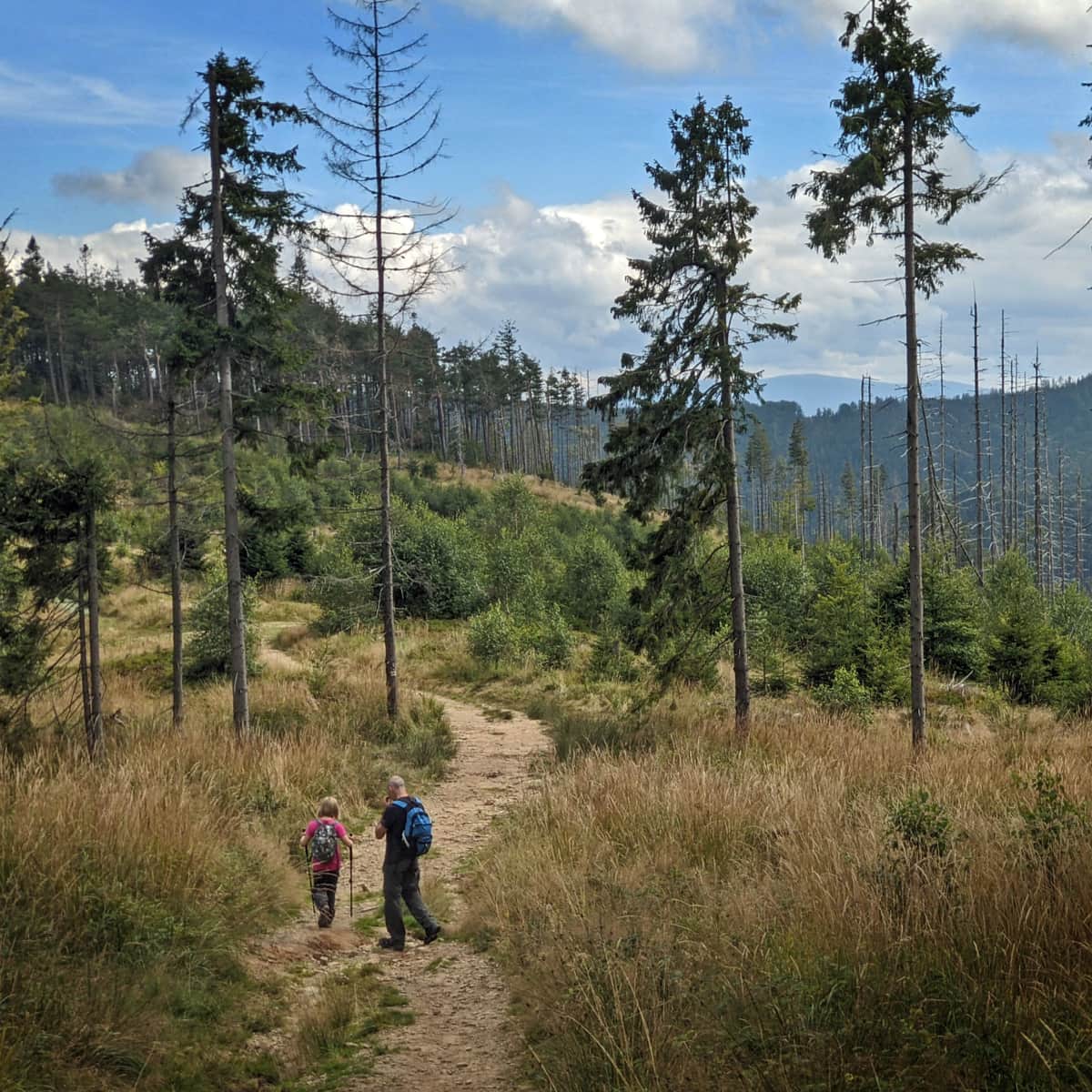
If we don't want to use the cable car, the easiest way to Malinowska Rock leads from Salmopolska Pass (paid parking). The red trail Salmopolska Pass - Malinowska Rock is less than 4 km long, and the altitude difference to overcome is 325 m. We should be able to cover it in about 1.5 hours one way.
Recommended attractive trail to Malinowska Rock
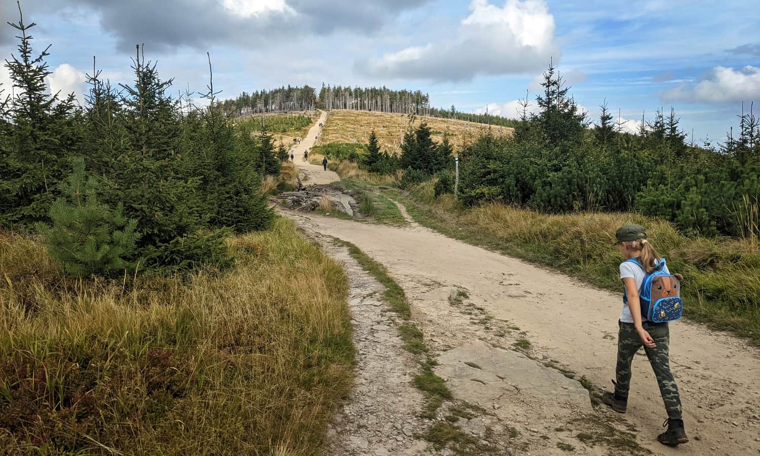
If you feel like combining the conquest of Malinowska Rock and Skrzyczne (it's worth it, as you can rest and eat at the PTTK shelter) we suggest a loop of trails from Lipowa - in total it's about 16 km, 800 m altitude difference. The loop itself, without stops, will take us about 5.5 hours.
First, we climb to Malinowska Rock by the yellow trail from Lipowa:
Medium
To Malinowska Rock from Lipowa

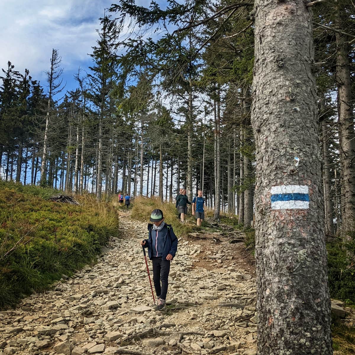
Then we cross the ridge from Malinowska Rock to Skrzyczne. This is an easy, beautiful and extremely scenic section of the route!
We conquer Skrzyczne, rest at the shelter and descend the blue trail back to Lipowa.
Medium
Blue trail to Skrzyczne from Lipowa

Malinowska Rock - other trails up to 15 km
We can also climb Malinowska Rock by other routes:
- blue trail from Szczyrk Solnisko: 5 km, 525 m altitude difference, 2 hours one way
- yellow from Szczyrk to Małe Skrzyczne and then green to Malinowska Rock: 6 km, 660 m altitude difference, 3 hours one way
- green trail from Lipowa / Ostry through Magurka Wiślańska: 11.5 km, 870 m altitude difference, 4.5 hours one way
- from Radziechowy blue + green: 13 km, 900 m altitude difference, 4.5 hours one way
- from Węgierska Górka red + green: 15 km, 1050 m altitude difference, 5.5 hours one way
- from Wisła Malinka yellow trail through Cieńków: 10.5 km, 800 m altitude difference, 4 km
- from Wisła Malinka through Biała Wisełka Valley (blue + green trail): 12.5 km, 890 m altitude difference, 4.5 hours one way
- from Wisła Malinka through Czarna Wisełka Valley and Barania Mountain: 15 km, 930 m altitude difference, 5.5 hours one way
- from the center of Wisła yellow trail to Salmopolska pass + red trail: 13 km, 1025 m altitude difference, 5 hours one way
- from Brenna black + red trail: 12.5 km, 980 m altitude difference, about 5 hours one way.
- from Brenna blue trail to Kotarz + red trail through Salmopolska pass: 13.5 km, 970 m altitude difference, 5 hours.
Malinowska Rock - trivia
Is there more to tell about Malinowska Rock? Trampled and photographed from all sides, at all times of day and year? Is there anything else you don't know about it?
Malinowska Rock - a natural monument
Did you know that the rock outcrop on Malinowska Rock is a non-living natural monument? Theoretically, it deserves special protection and respect. Do the hundreds of tourists who flock to the rock every day know about this?
Unique rocks on Malinowska Rock
The rocks that build the peak massif of Malinów, including the famous outcrop itself, are unique conglomerates, called "conglomerates from Malinowska Rock".
Cave near Malinowska Rock
Near Malinowska Rock there is a cave. Moreover, it is the only Beskids cave available to tourists - i.e., there is no ban on entering. It is located under the peak of Malinów, less than 2 km from the rock outcrop. A short side trail, marked from the red trail, leads to it. There is a metal ladder leading inside the cave. If you feel like taking a look inside, remember to bring a flashlight (preferably a headlamp) and waterproof shoes (there is often water standing in the cave).
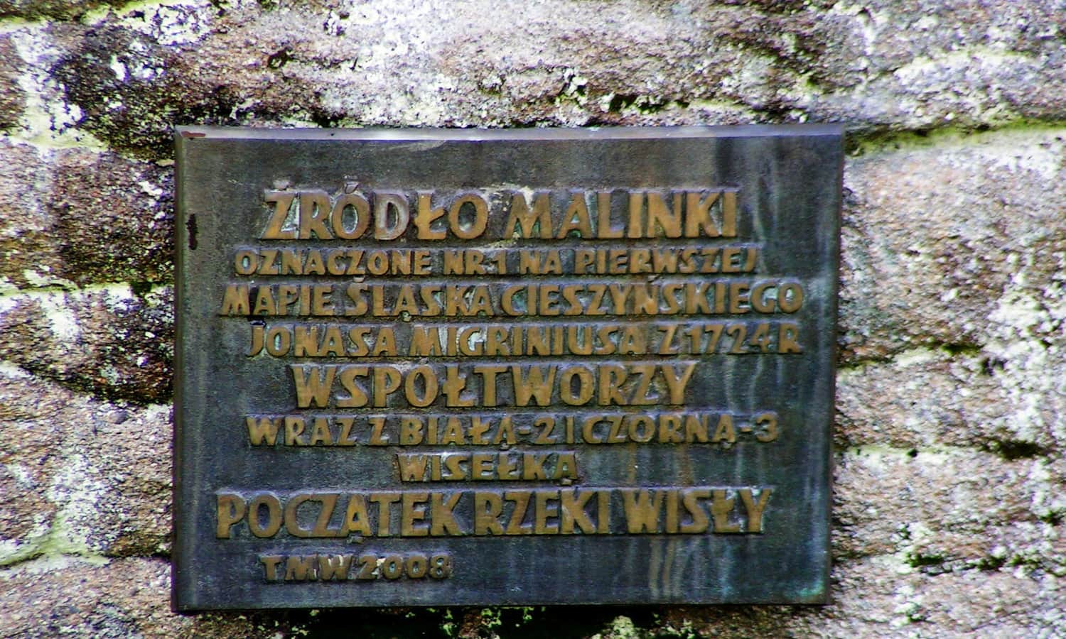
Source of the Vistula on Malinowska Rock?
You've probably heard that the Vistula is formed from the Black and White Vistula rivers. This is true... almost true. The two streams flowing from under Barania Mountain to Czerniańskie reservoir form the Vistula river. Only when the third source stream, Malinka, joins them do we deal with the Vistula.
Interestingly, only the source of Malinka is accessible (the source areas of the Black and White Vistula are off the trails, in the Barania Mountain Reserve). Apparently, you can reach it by a hardened path leading from the red trail to Malinów.

More in the Region Beskid Śląski (Silesian Beskid)


