
TOP 5 Beskid Mały: Most Beautiful Scenic Trails
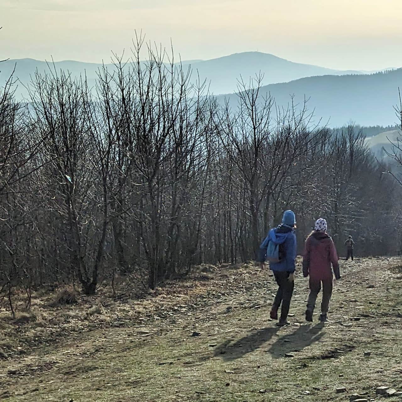
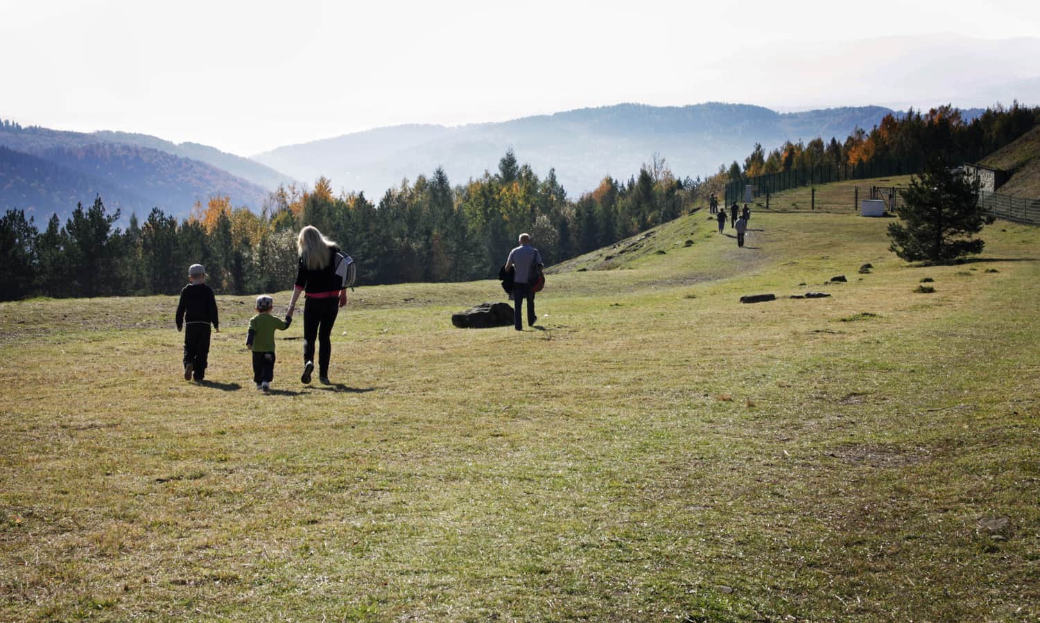
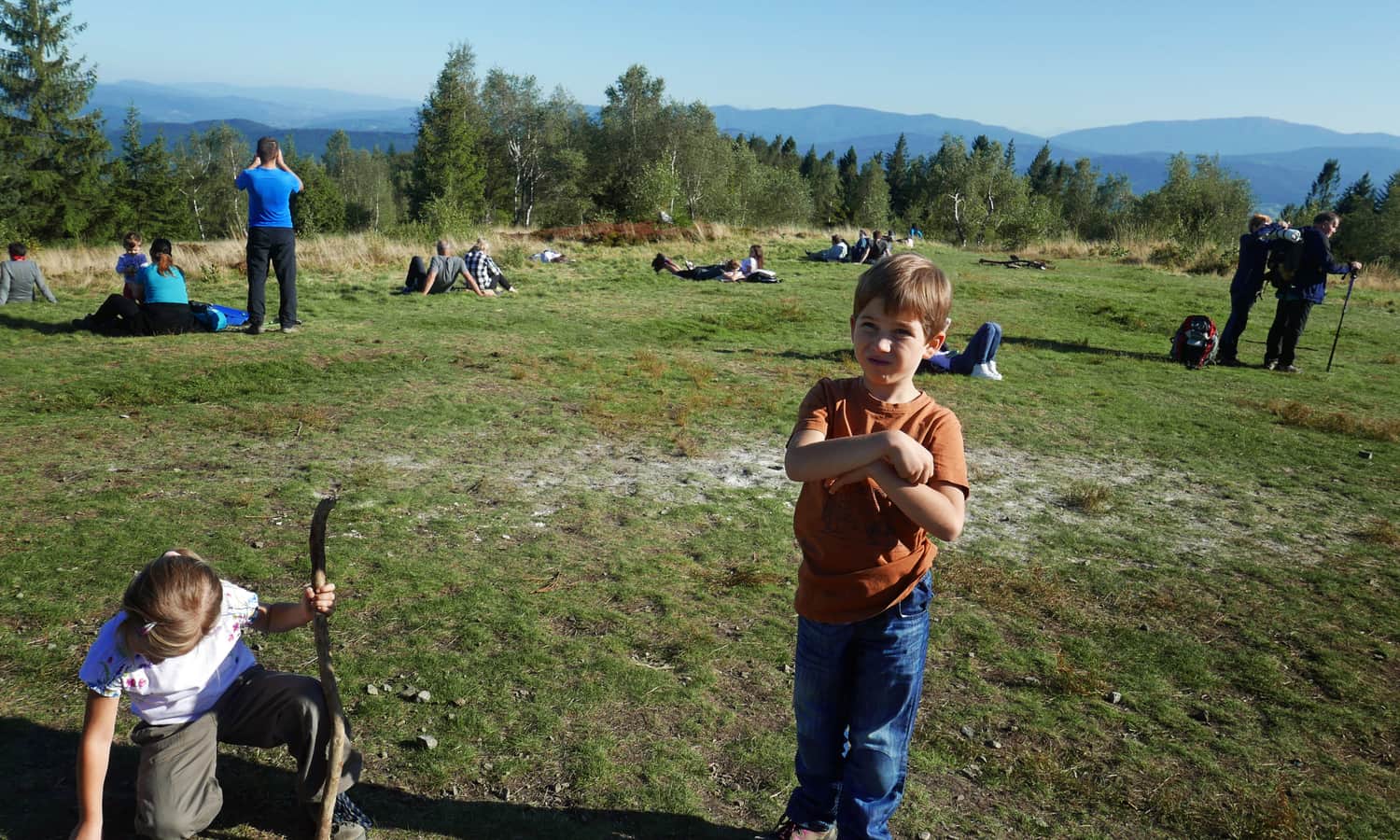
Beskid Mały is an easily accessible mountain range on the border of Silesian and Lesser Poland Voivodeships (between Bielsko-Biała, Andrychów, and Wadowice), where you will find many trails for interesting and easy mountain excursions with children. The forested hills of Beskid Mały offer kilometers of shaded paths, perfect for hot summers, as well as numerous sunny viewpoints and meadows, ideal for rest after hiking and family picnics!
Beautiful and Scenic Trails in Beskid Mały
If you go to the mountains primarily to feast your eyes on beautiful mountain panoramas, we recommend these most beautiful places and trails in Beskid Mały:
- you can reach them without much effort,
- there are mountain views and picnic meadows everywhere,
- ...and there are catering facilities (mountain huts, restaurants, snack shacks).
1. Leskowiec and Groń Jana Pawła II
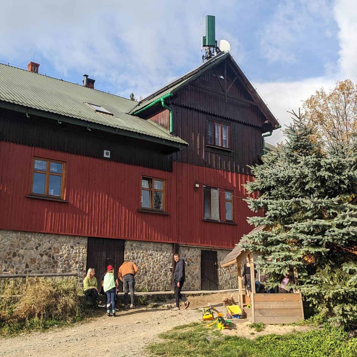
Leskowiec (992 m above sea level) and the mountain hut on Groń Jana Pawła II (Jaworzynie) are the most popular destinations for hikes in the eastern part of the Beskid Mały range. There are many trails leading to the summit of Leskowiec, with its sunny meadow and a view of Babia Góra, as well as to the nearby PTTK mountain hut.
The easiest route to Leskowiec is the so-called "white hearts trail from Rzyki" (5 km, about 2 hours, with less than 500 m elevation gain), but you can also reach it from Ponikwa, Targoszów, Krzeszów, Czartak, Świnna Poręba, Tarnawa Górna, and even from Andrychów and Inwałd, as well as from Wadowice:
Leskowiec - all trails and attractions
Leskowiec is one of the most popular peaks in the Beskid Mały Mountains. On the summit (992 meters above sea level), beautiful views await us, and just below: a friendly PTTK shelter. ...
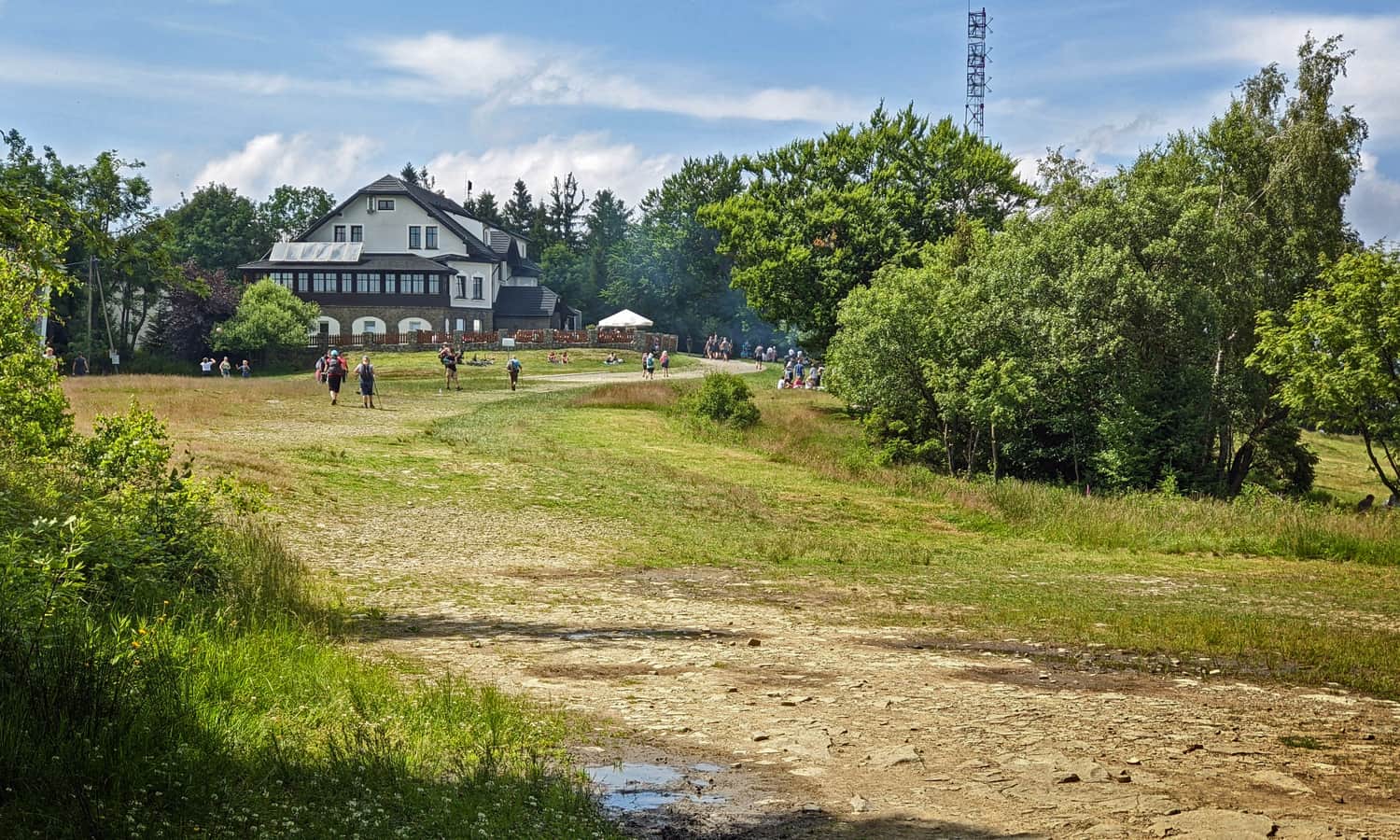
2. Magurka Wilkowicka and Czupel
One of the most famous places in Beskid Mały is the PTTK mountain hut on Magurka Wilkowicka. There are many routes leading here, some more challenging and some easier (e.g., the hiking trail from Przełęcz Przegibek).
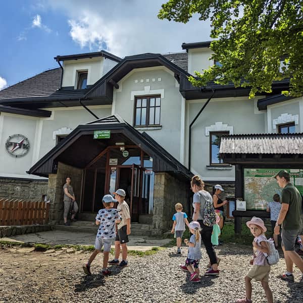
Magurka Wilkowicka - shelter, trails to the peak
Magurka Wilkowicka is a peak in the Little Beskids, located between Bielsko-Biała and Wilkowice in the west, and Lake Międzybrodzkie and Lake Żywieckie in the east. ...
If (like us) you come across a closed viewing platform on Magurka, we recommend walking a bit lower from the summit (following the red trail towards Rogacz and Mikuszowice) to the Tourist Hut on Magurka and the meadows with a view of the Skrzyczne massif.
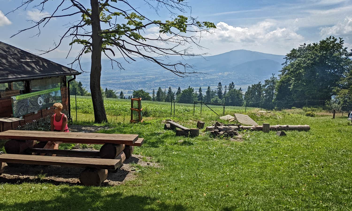
From the PTTK mountain hut on Magurka Wilkowicka, you can take an easy "ridge" walk and reach the highest peak of the Beskid Mały range, Czupel (930 m above sea level). Although the summit itself is forested, there are several nice "windows" along the way, including a view of Skrzyczne:
Easy
Magurka Wilkowicka - Czupel

3. Hrobacza Łąka / Chrobacza Łąka
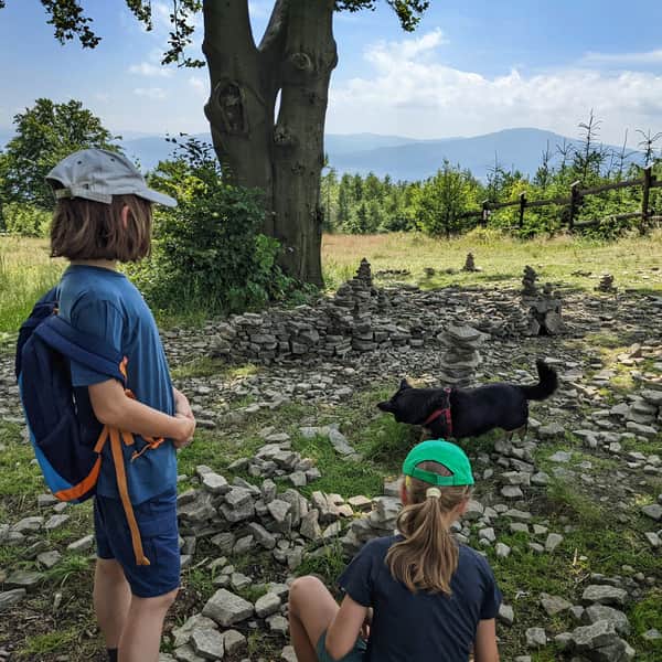
A peak with two names, but the same unique charm! From the forested summit of Hrobacza Łąka (828 m above sea level) with a small viewpoint to the north and a large metal cross, it is worth descending to the meadow with a mountain hut. Here, you will find a beautiful panorama to the south: Lake Międzybrodzkie, the surrounding hills of Beskid Mały (Mount Żar on the left, Czupel on the right), and the distant peaks of Babia Góra and Pilsko.
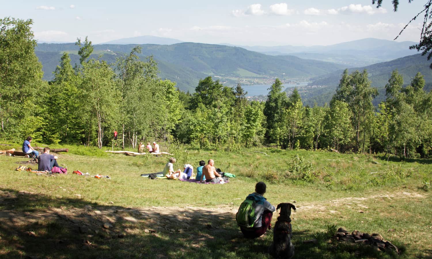
The shortest and quickest trail to Hrobacza Łąka starts from Kóz: follow the green signs, it takes less than 2 hours (4 km, 430 m elevation gain). You can also choose several other trails: from the south, from Międzybrodzie Bialskie and Żarnówka, or from the north, from Bielsko-Biała Lipnik and Kóz (the yellow trail is a bit longer but gentler than the green trail).
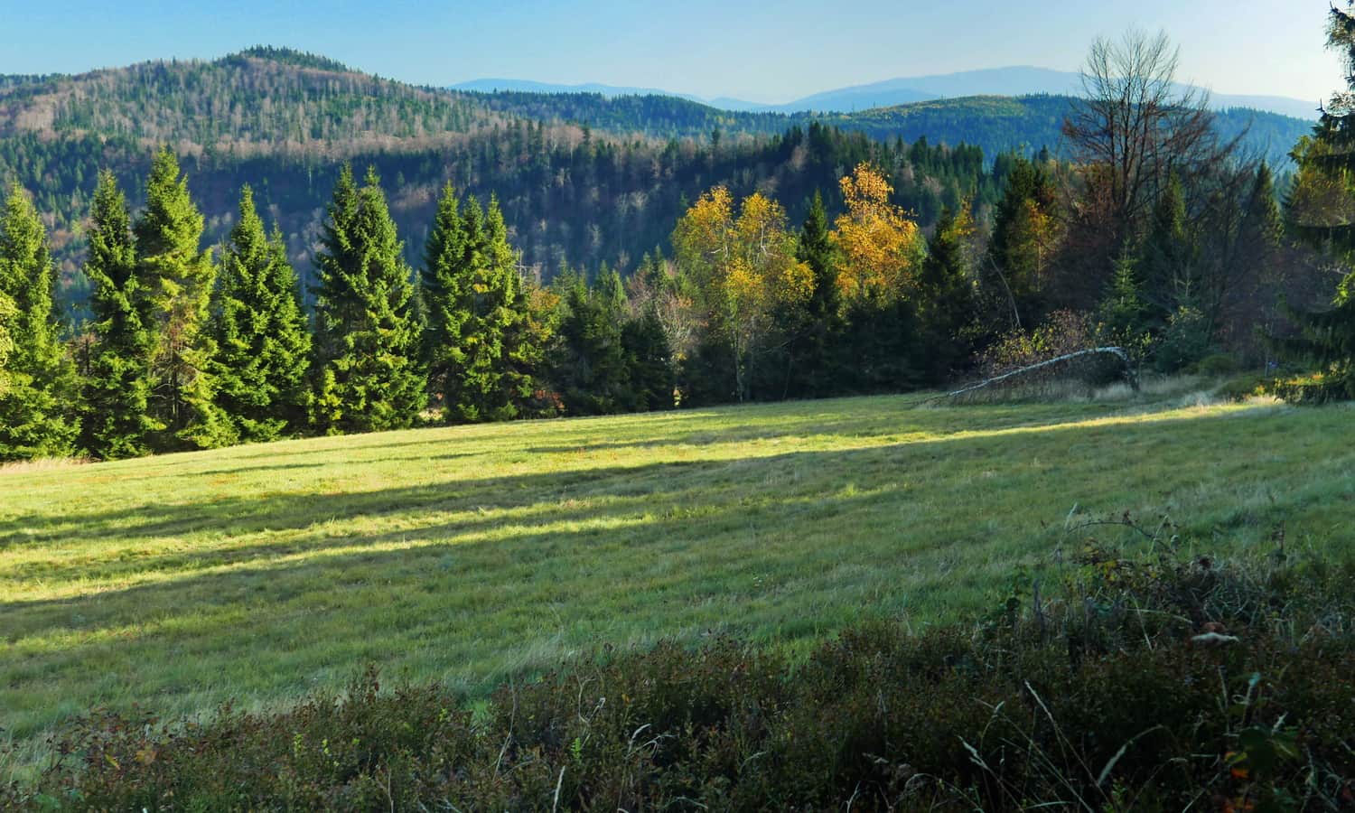
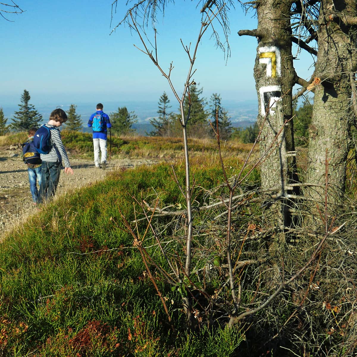
4. Czarny Groń and Meadows under Potrójna
This is a slightly off-the-beaten-path suggestion, away from the main trails, but it will be quieter and more peaceful than at the large and popular PTTK mountain huts on Leskowiec, Magurka Wilkowicka, and Hrobacza Łąka. In Beskid Mały, there are two peaks named Potrójna: the first Potrójna (847 m above sea level) is located between Łamana Skała and Leskowiec, and it is mostly forested with limited viewpoints. However, a bit further to the west, you will find Czarny Groń (also known as Potrójna) and the Potrójna settlement with beautiful scenic meadows.
You can rest and have a meal at the small Chatka na Potrójnej (on Czarny Groń). The second hut, Chatka pod Potrójną, is located about 30 minutes away (2 km) on the yellow trail between Przełęcz Zakocierska and Przełęcz na Przykrej.
The shortest route to the scenic meadows of the Potrójna settlement starts from Przełęcz Kocierska: it is less than 4 km along the red trail, takes about 1 hour and 15 minutes, with only 200 m elevation gain. You can also reach it from Rzyki via the black or yellow trail (black is 4 km, about 1 hour and 45 minutes, with 420 m elevation gain, and yellow, passing Łamana Skała, is 6.5 km, 2.5 hours). Both trails can be combined into a loop:
Medium
From Rzyki to Łamana Skała and Potrójna

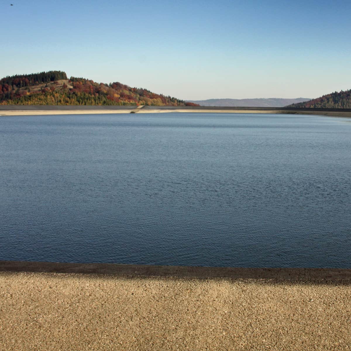
5. Mount Żar and Attractions on the Summit
For many, this is the number one spot, but it made it to the last place on our list. Why? Yes, it is beautiful, and the summit with a water reservoir is surrounded by vast meadows with views to the south, west, and north. Additionally, there are many attractions here: a year-round toboggan run, a large catering facility, the opportunity to admire gliders, paragliders, and cyclists.
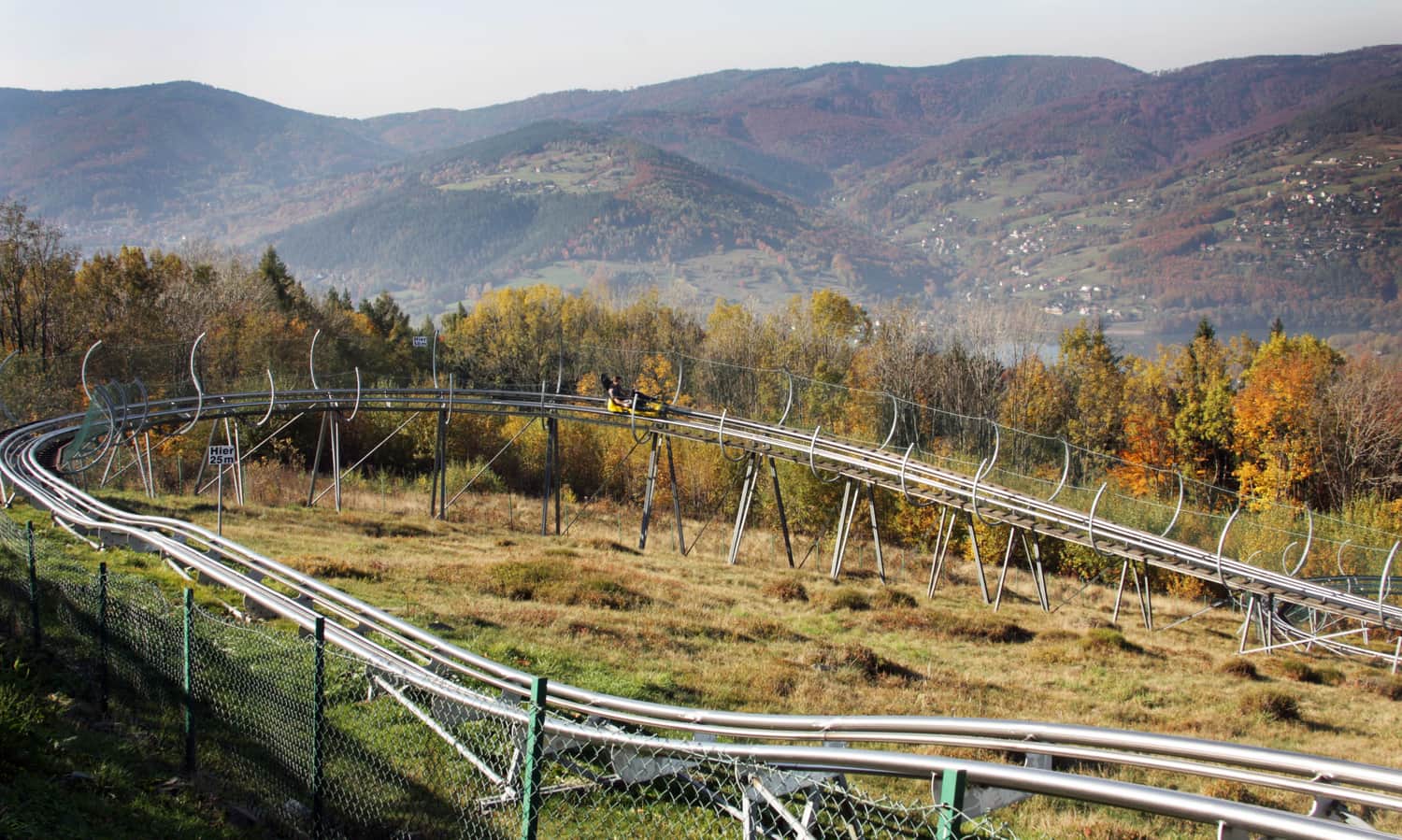
Unfortunately, easy accessibility (by cable car and asphalt road) means that it can be very crowded and noisy here during the season and on weekends, just like in a city promenade... You can find a bit more peace and space on the eastern side of the reservoir or by visiting outside the peak season and weekends.
Easy
Mount Żar - by cable car, car, on foot or by bike

Beskid Mały - Map of Trails and Attractions
We encourage you to discover the charming corners of Beskid Mały! We would be happy to add the trails and places you have visited to our list. You can find the trails described here and the location of the photos on the map in the header of this article. Other trails and places in the region can be found in the respective sections.

Publish Date:
Last Updated: