From Rzyki to Łamana Skała and Potrójna
Town: Rzykibeach_access Route in the shade
directions_car Access by car
directions_bus Can be reached by bus
wc Toilet along the route
Triple Peak (847 m above sea level) and Broken Rock (829 m above sea level) are two forested peaks in the eastern part of the Beskid Mały mountain range. To enjoy the views, we need to hike to Czarny Groń and the Potrójna settlement, where a secluded Cottage on Potrójna awaits us.
Route: We chose the direction of Rzyki - yellow trail - Anula Pass - red trail - Potrójna - black trail - Rzyki. Of course, you can reverse the loop, but then you will have to tackle long and difficult ascents on the black trail, uphill instead of downhill.
Starting Point:
By car: At the end of the asphalt road, there is a large parking lot (probably more used during the ski season) and an even larger one below - by the bus stop. Both are free of charge. However, at the start of the black trail, the parking lot is much smaller and, according to the sign, only for customers of the "Czarny Groń" complex (paid playgrounds, rope park, restaurant).
Without a car: There are bus stops at both the start of the yellow and black trails. Bus line no. 7 from Andrychów operates here: Timetable. The bus stop at the start of the yellow trail is the last stop on the route, which is Rzyki Praciaki.
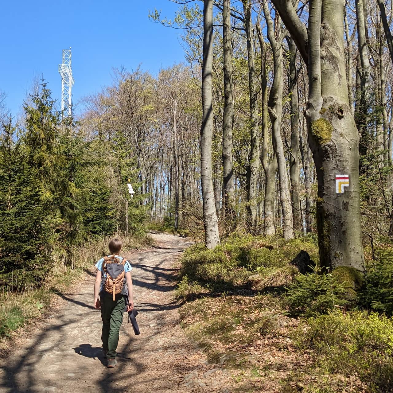
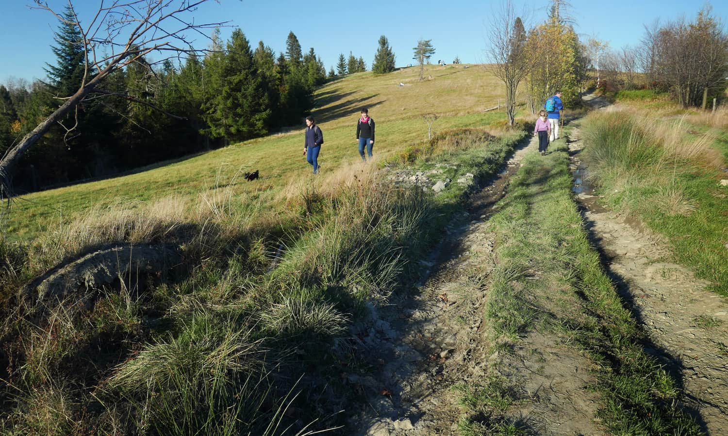
Yellow Trail from Rzyki
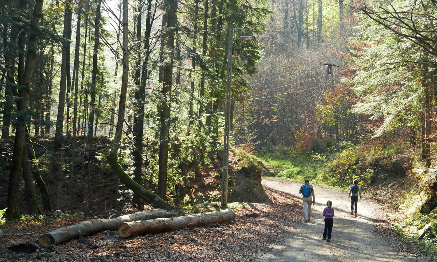
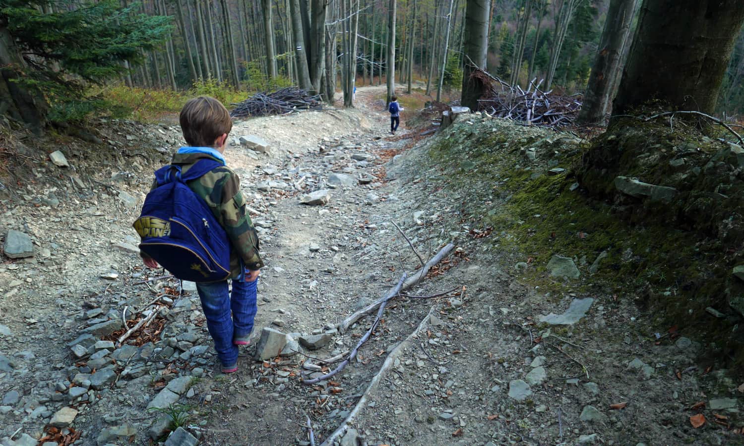
The beginning of the yellow trail is a wide and comfortable paved road. After passing the lower ski lift station, it leads through the forest, crosses a stream, and gradually ascends.
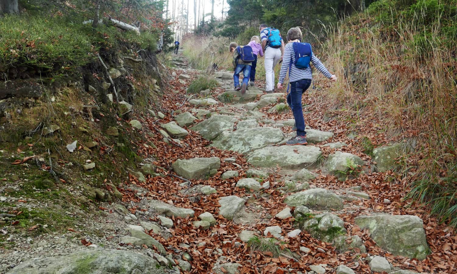
After about 30 minutes of warm-up, we start the ascent. The path goes uphill quite steeply but leads over large, stable rocks, so it is relatively safe and comfortable (especially compared to the black trail, which we will talk about in a moment).
This most challenging section of the entire route took us about 40 minutes, with a few short breaks to catch our breath and have some chocolate for energy. The next stage is a pleasant walk along the ridge. If you choose the yellow trail on a sunny day, keep in mind that you will be walking south, which means you will be in the sun the whole time.
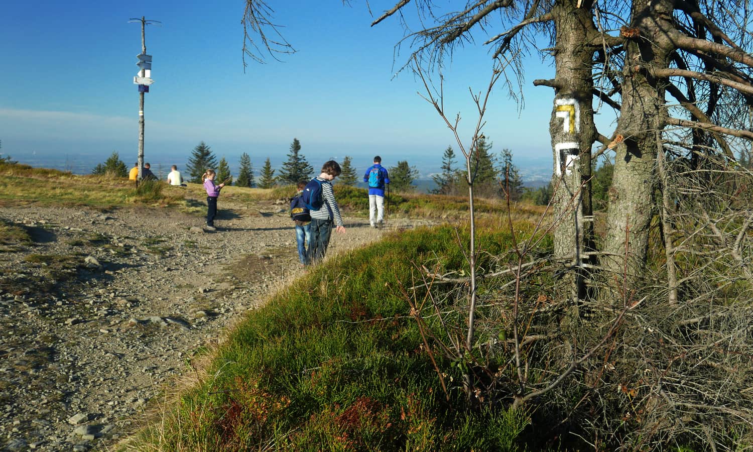
The path generally goes straight, occasionally slightly ascending and descending. Along the way, we pass several mountain passes. The only downside is the almost complete forest cover, which provides pleasant shade but obscures the views...
Right after reaching the ridge, we stop at the Anula Crossroads. Here, we will learn the legend of the brave cow (on an enamel plaque) and enter the Mladahora Reserve.
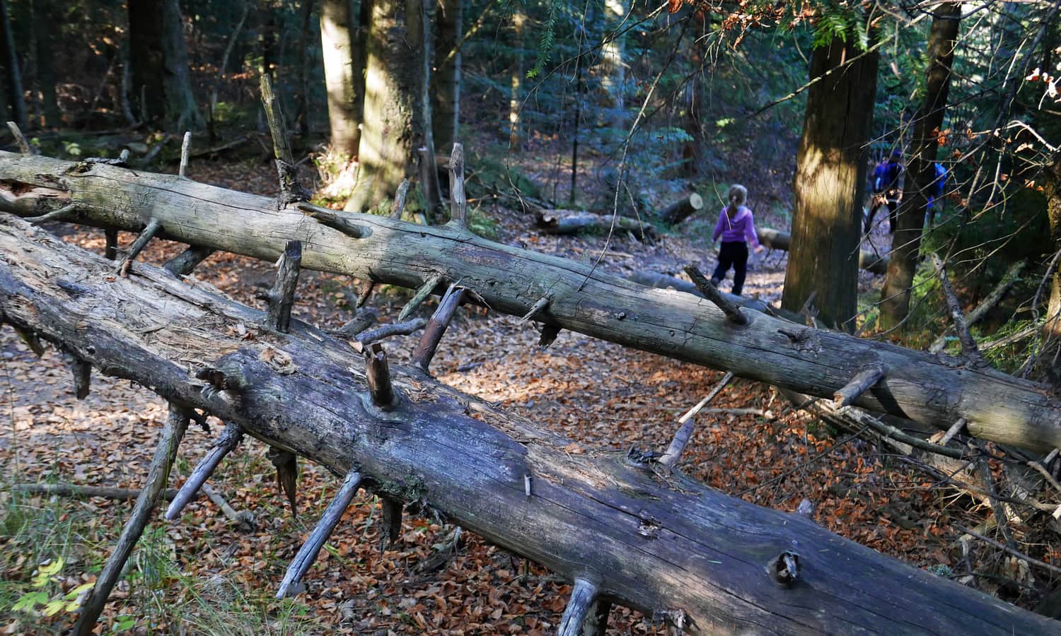
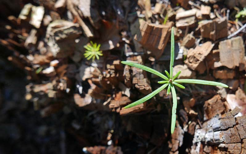
Mladahora Reserve is a wild forest full of dead wood that gives birth to new life:
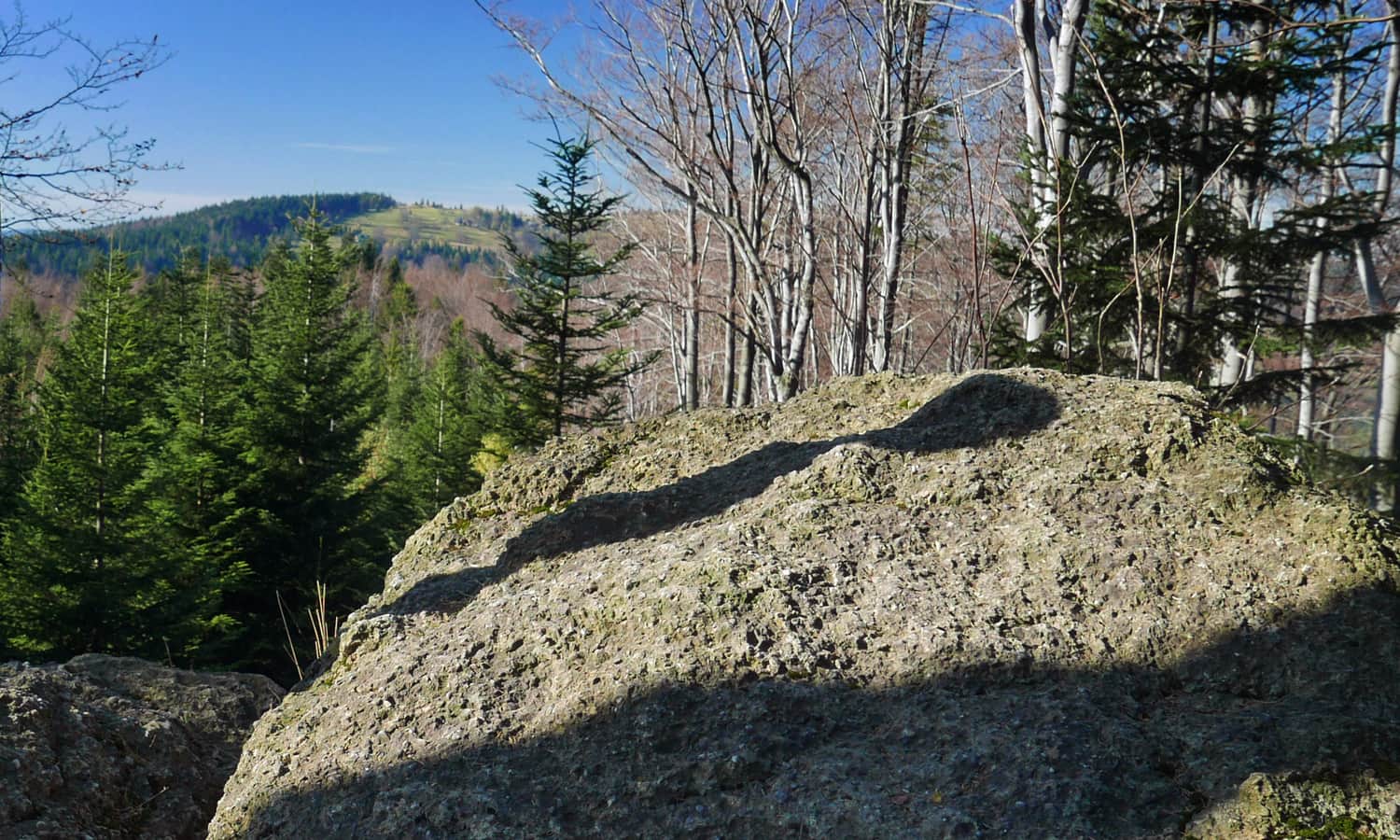
We bypass the summit of Łamana Skała (Mlada Hory) slightly below the peak.
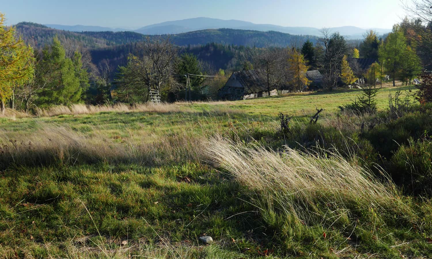
Just before the upper ski station, it is worth taking a side path leading to several rocks, right next to the main trail. From the rocks, we can see the goal of our hike - the meadows and settlement at Potrójna.
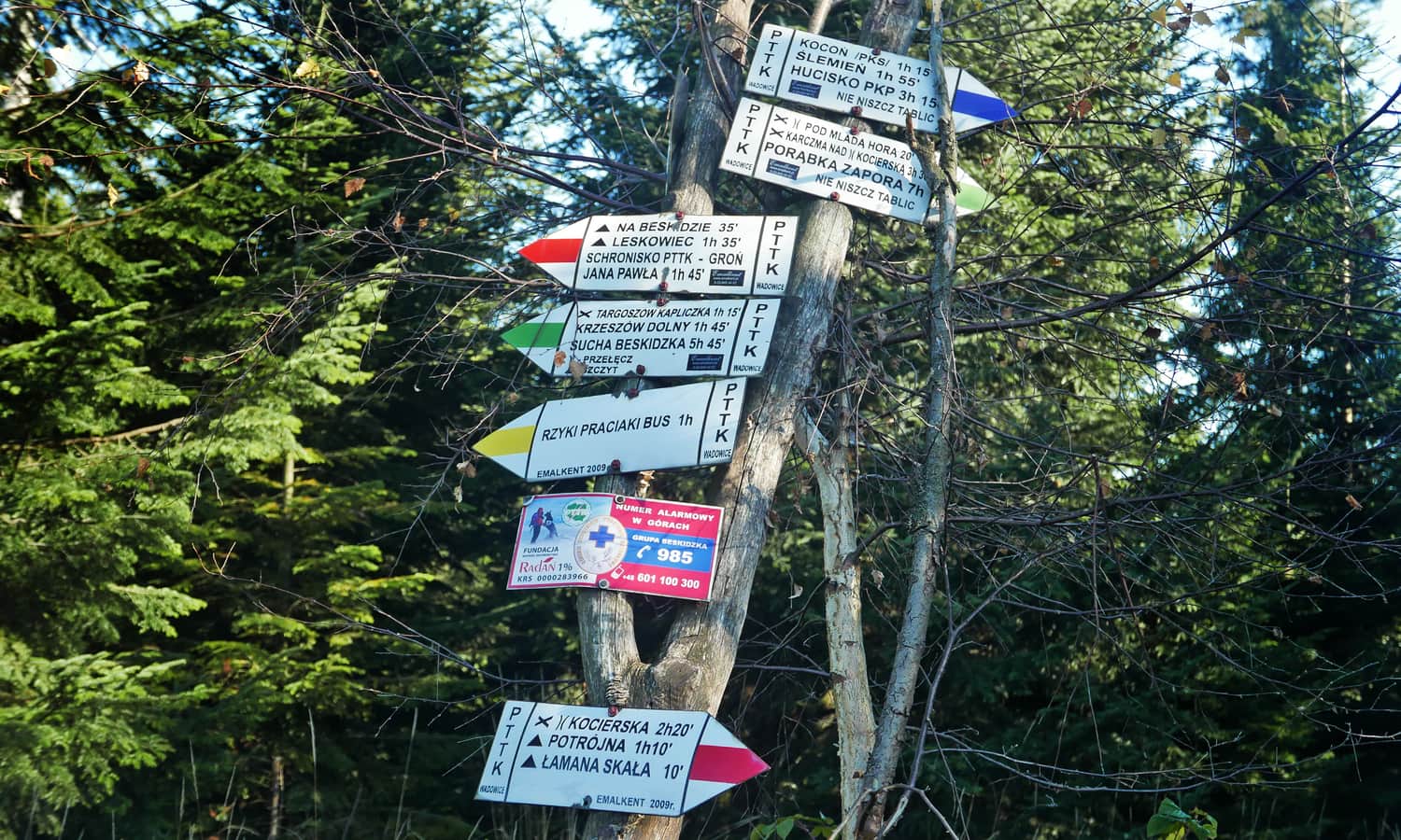
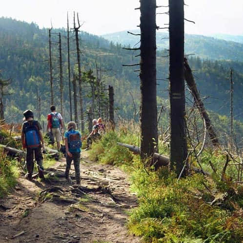
At the ski station, an educational trail joins us (it runs along the ski lift) and will accompany us until the end of the route. The signs are large, with plenty of pictures and detailed information, but there is also something for children to enjoy.
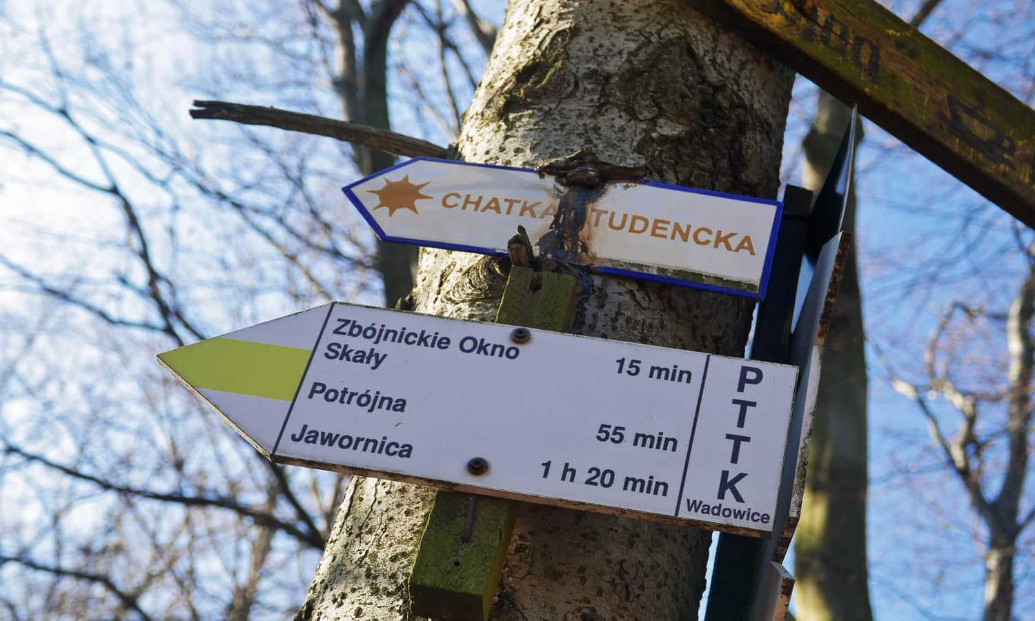
Just past the ski station, at Przykra Pass, the yellow trail turns left and leads to the student Cottage under Potrójna. It is primarily an accommodation place, but as the sign indicates, you can also count on a hot coffee or tea. However, this time we continued straight on the red trail.
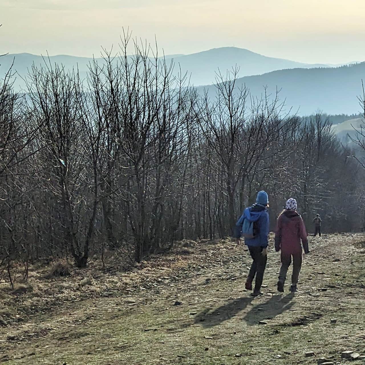
The red trail leads us to the summit of Potrójna - we have to climb a bit, but the ascent is not too steep.
Potrójna offers beautiful wide meadows (perfect for a picnic!) with even more beautiful views - especially of Babia Góra. Between the Queen of the Beskids and the neighboring Policy range, we also catch a glimpse of the Tatra Mountains.
Cottage on Potrójna
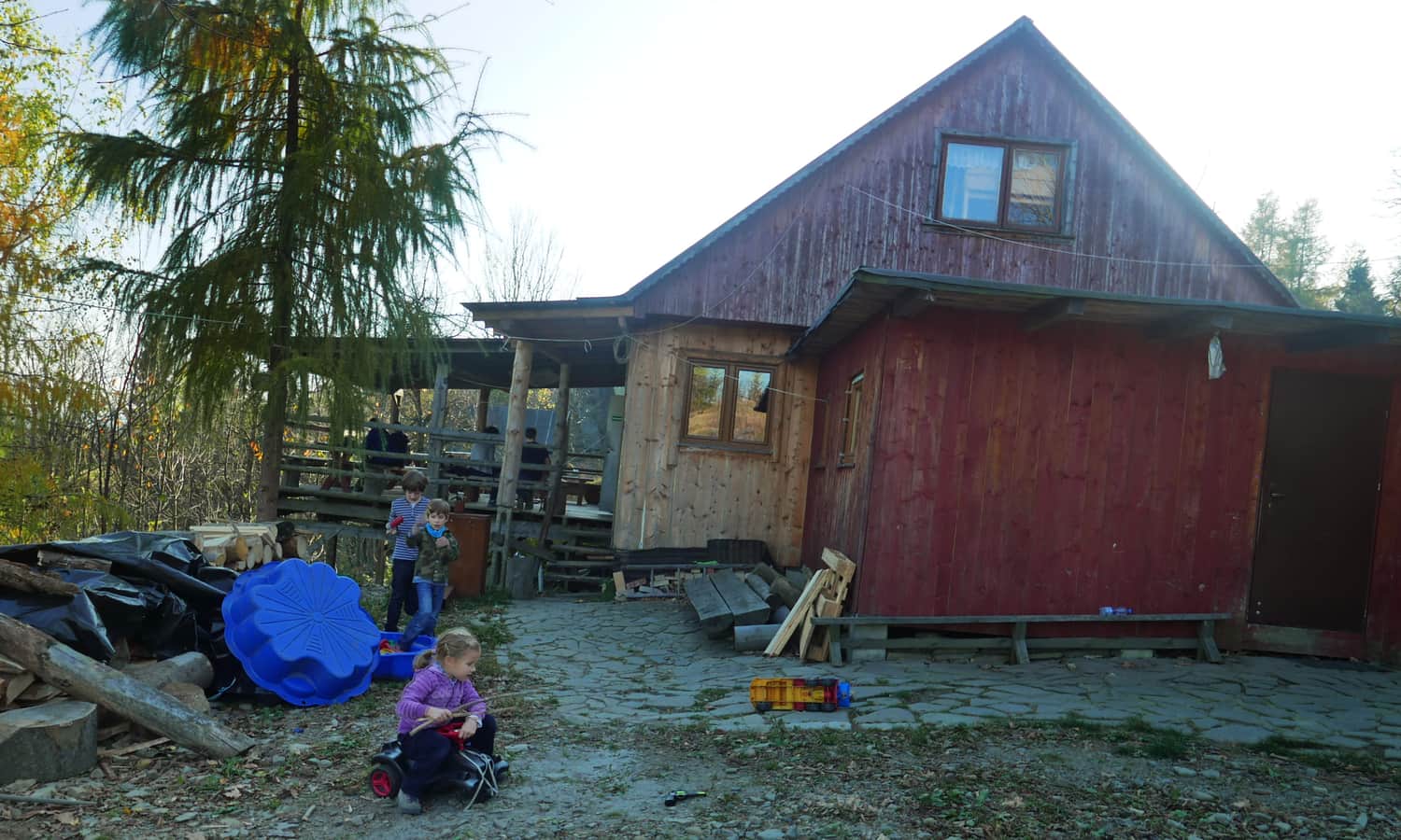
Below the meadows, there is a small settlement of several wooden buildings, including the Cottage on Potrójna - a private shelter primarily for accommodation, but also a wonderful place to take a break during the hike. You can buy coffee or tea, snacks, and cold drinks... and with a bit of luck, get a freshly baked sweet bun!
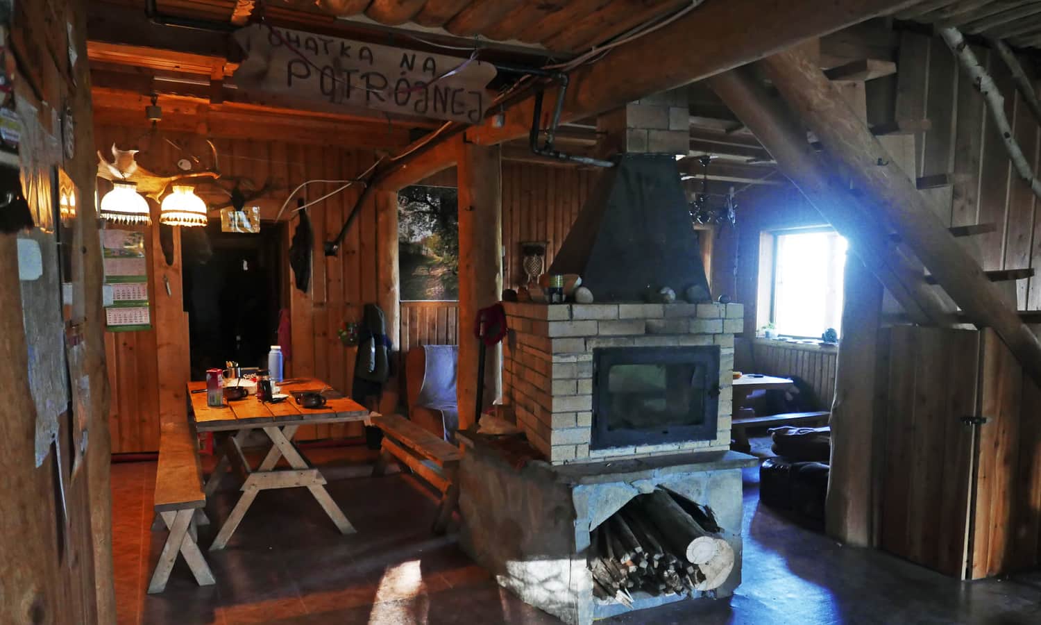
You can rest on benches next to the shelter, on the covered veranda, or in the spacious dining hall.
From Potrójna to Rzyki
We returned from Potrójna to Rzyki on the black trail... and we were very glad that we didn't choose it for the ascent! Although initially we walked on a wide, rocky road, passing several more buildings, once we entered the forest, a very steep descent began. Additionally, the hike was made more difficult by the fact that most of the trail consists of small loose stones - it's easy to slip...
The only positive aspect of the trail is the view of the beautiful slopes and the Leskowiec and Jan Paweł II Ridge. After descending to Rzyki, we still had to walk about 1.5 km on an asphalt road back to the parking lot in Praciaki.
PS. This route has been included in our article "TOP 5 Beskid Mały - the most beautiful scenic trails". Would you like to know about the others?
TOP 5 Beskid Mały: Most Beautiful Scenic Trails
Beskid Mały is an easily accessible mountain range on the border of Silesian and Lesser Poland Voivodeships, where you will find many trails for interesting and scenic family mountain excursions. ...
...as well as in the article "Beskidy - the most beautiful trails and routes for children":
Beskids - the most beautiful trails and routes for children
The Beskids are gentle, forested slopes, scenic meadows and pastures, hundreds of kilometers of trails: easy, but also sometimes quite demanding. Which trail in the Beskids to choose for a trip with children? ...

More in the Region Beskid Mały (Beskid Mały)