Jawornica and Potrójna - yellow trail Targanice
Nearby: Andrychówbeach_access Route in the shade
restaurant Restaurant or bar nearby
directions_car Access by car
directions_bus Can be reached by bus
wc Toilet along the route
The yellow trail from Targanice near Andrychów to Jawornica and Potrójna is an interesting route to an incredibly scenic peak in the Beskid Mały. Although we hike through the forest, a vast panorama and a secluded shelter await us at the destination.
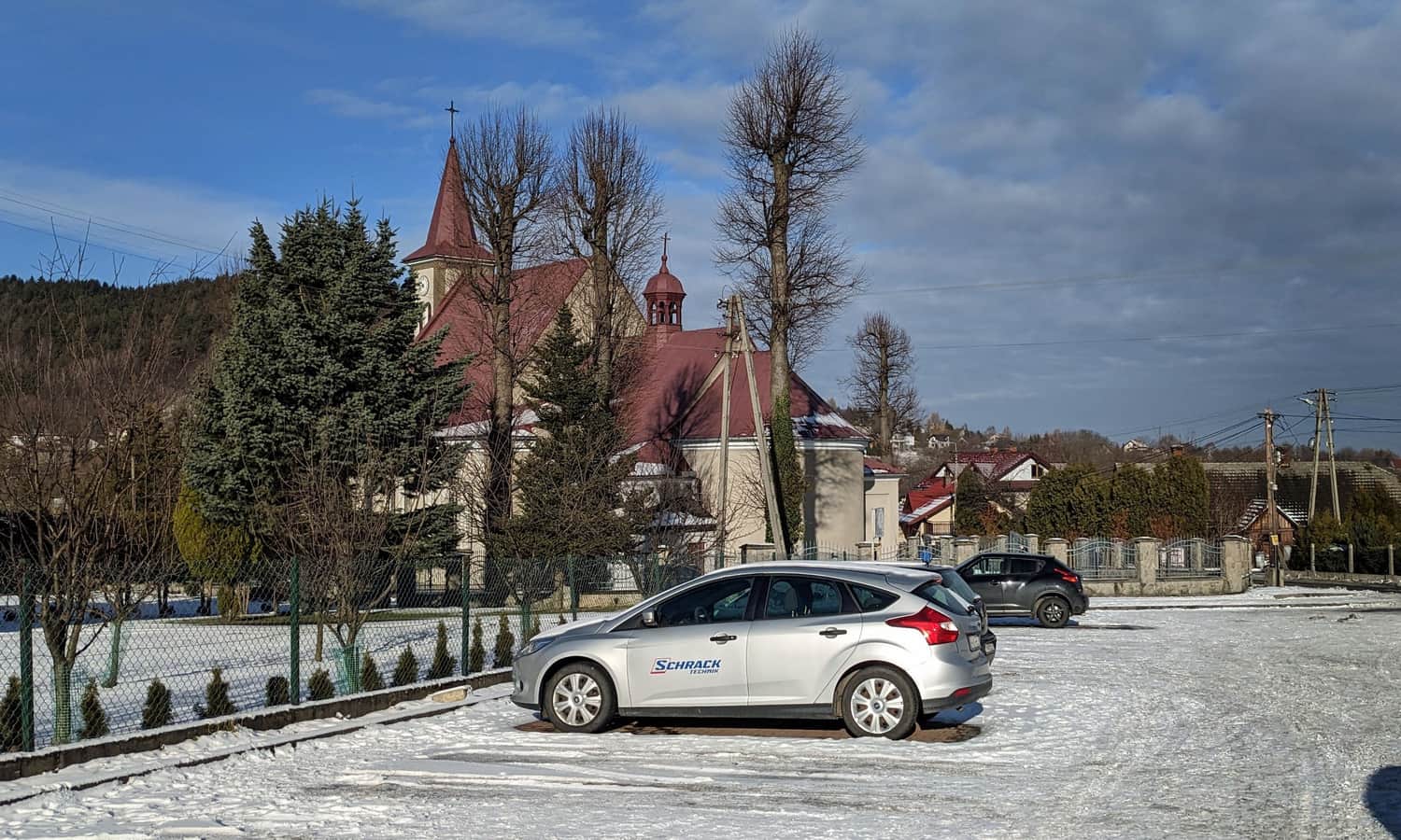
Start of the yellow trail in Targanice, parking
The yellow trail cutting through the center of Targanice leads either west to Złota Górka, or southeast towards Jawornica, Potrójna, and Łamana Skała. You can leave your car in a large free parking lot near the church.
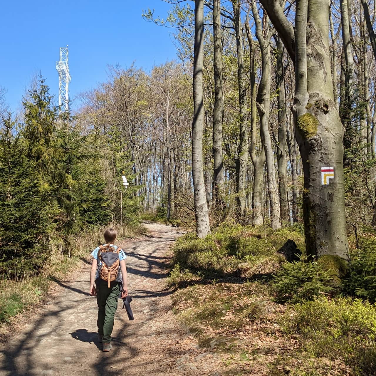
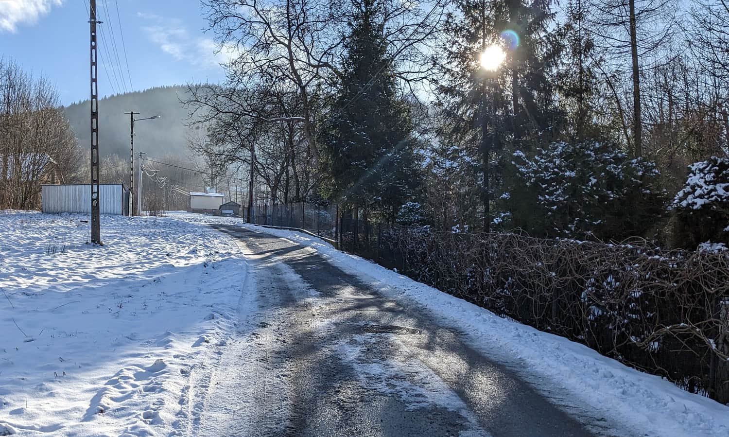
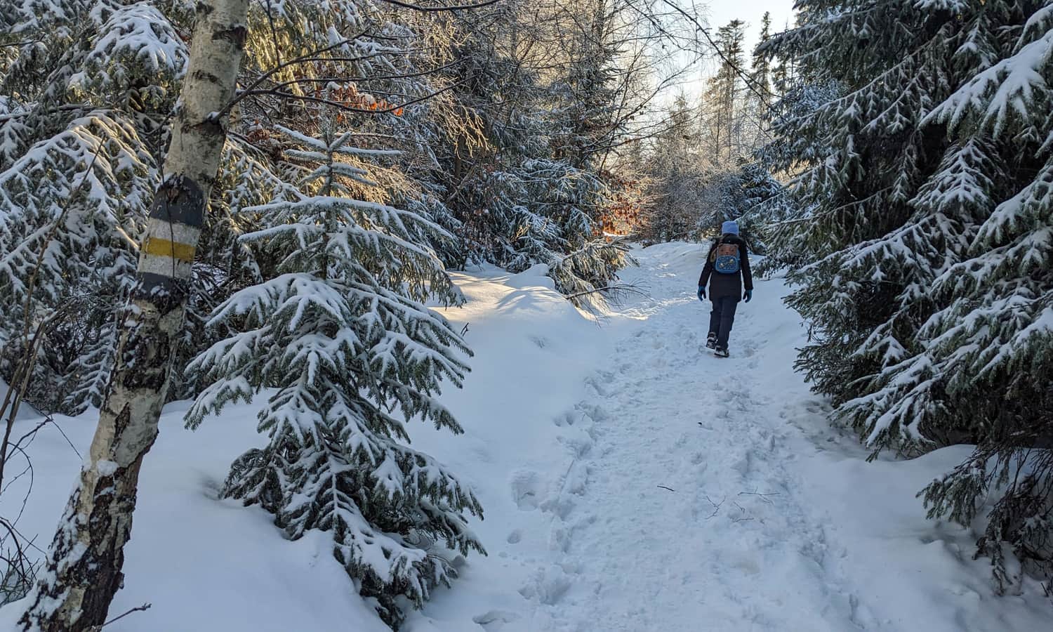
Heading towards Jawornica and Potrójna, you should move up Jawornicka Street from the parking lot in Targanice.
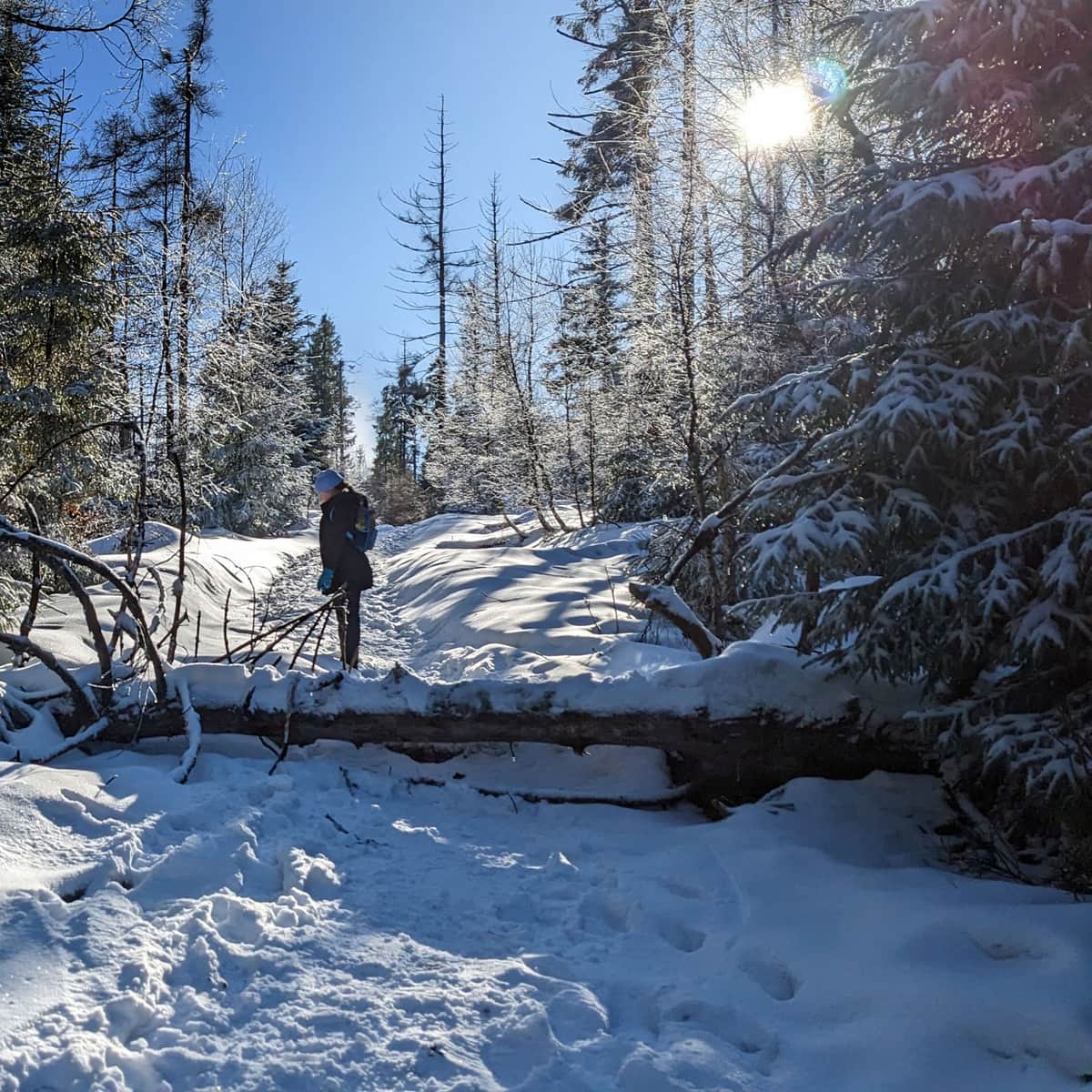
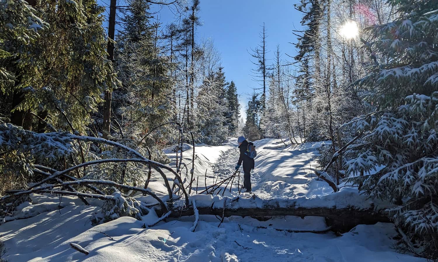
A narrow asphalt road rises quite steeply between the buildings. After about 15-20 minutes of climbing the road, we enter the forest. Here, the yellow trail leads quite sharply through a deep gorge carved by a small forest stream. During our trip, the water quietly murmured under a layer of ice (only sometimes it surfaced), but it is easy to imagine that in spring, autumn, or after heavy rains it can be quite wet and muddy here. Fortunately, the higher we go, the less water there is, and the path becomes a bit less steep.
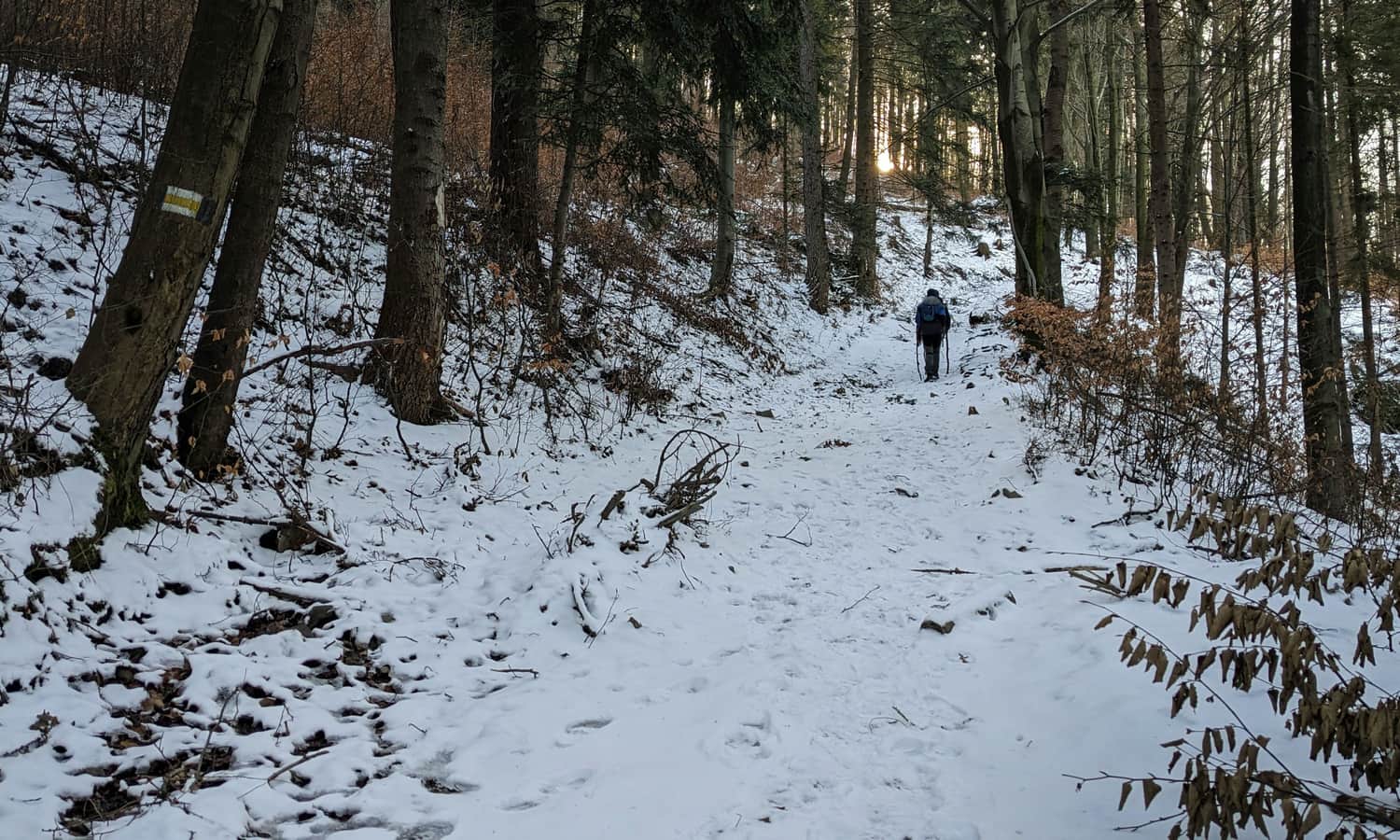
You can really breathe when we reach the wide forest road (i.e., about 30 minutes after entering the forest) - we have already done the hardest part! Now we will still be climbing, but much more gently and comfortably.
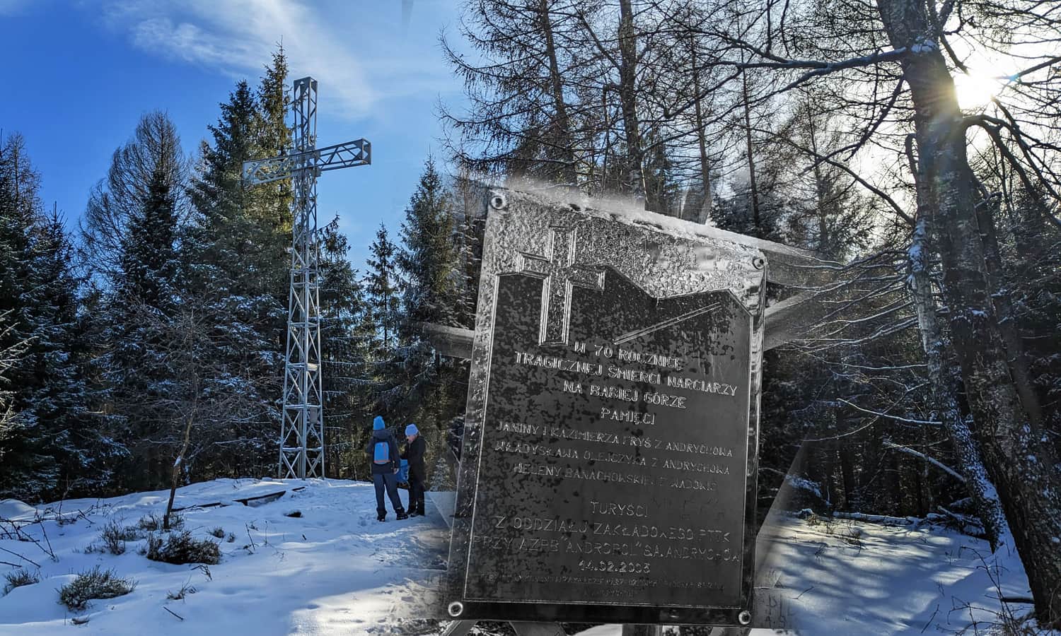
Jawornica 830 m above sea level - cross and ruins of the shelter
When walking from Targanice to Potrójna, we reach a small forest clearing with a large metal cross, it means that we are at the top of Jawornica, exactly halfway. In addition, we have already completed this "harder half", now we are just waiting for a pleasant forest walk.
Despite the forested peak of Jawornica does not offer any views, it is worth stopping here for a moment and recalling the tragic events of nearly a hundred years ago. The cross commemorates the death of 4 skiers from Andrychów and Wadowice, who froze to death on Babia Góra in 1935. One of the victims was Kazimierz Fryś, a young activist of the Polish Tourist Society, a trail marker (just before his death he marked this trail we are walking). Together with him died, among others, his sister Janina Frysiówna. The Fryś family funded the cross, and the section of the yellow trail between Targanice and Potrójna is called the "Fryś Family Trail".
A plaque was also placed on the cross to commemorate the death of a young boy who died here of a heart attack.
The peak of Jawornica is also associated with a local legend of robbers attacking shepherds, in the times when wide pastures stretched here. Supposedly, the cruel attackers boiled the shepherd in a pot, and one of the shepherds was roasted on a spit... Fortunately, the victims managed to call for help by playing the trumpet before they died, and the gang was caught.
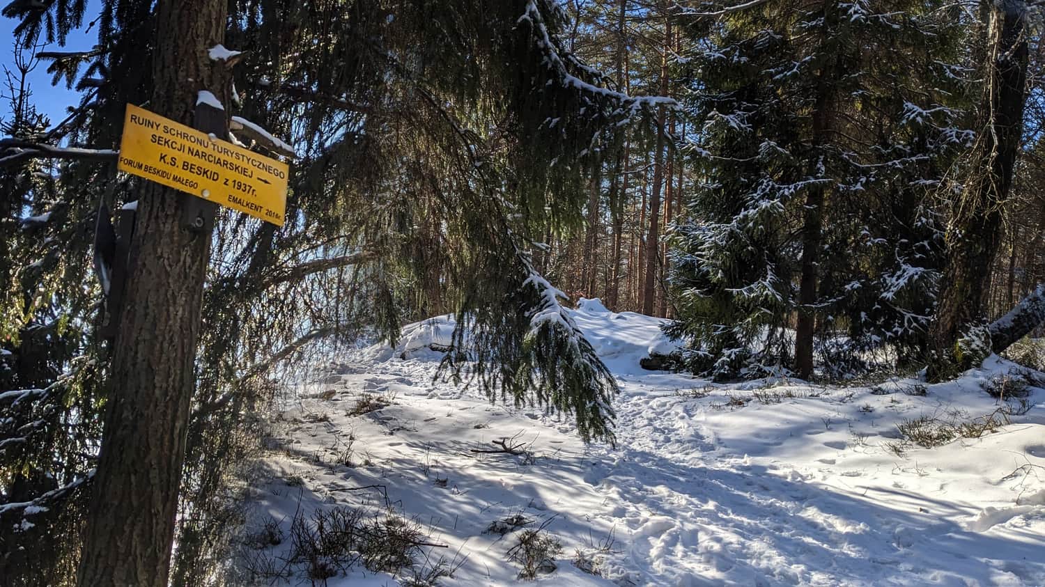
A few steps further, also on Jawornica, you will find the ruins (actually the foundations) of a small shelter. It was built here just before World War II (1937/38), and only survived until the occupation, when it most likely burned down.
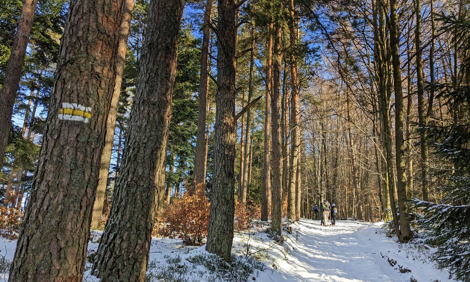
Yellow trail Jawornica - Potrójna
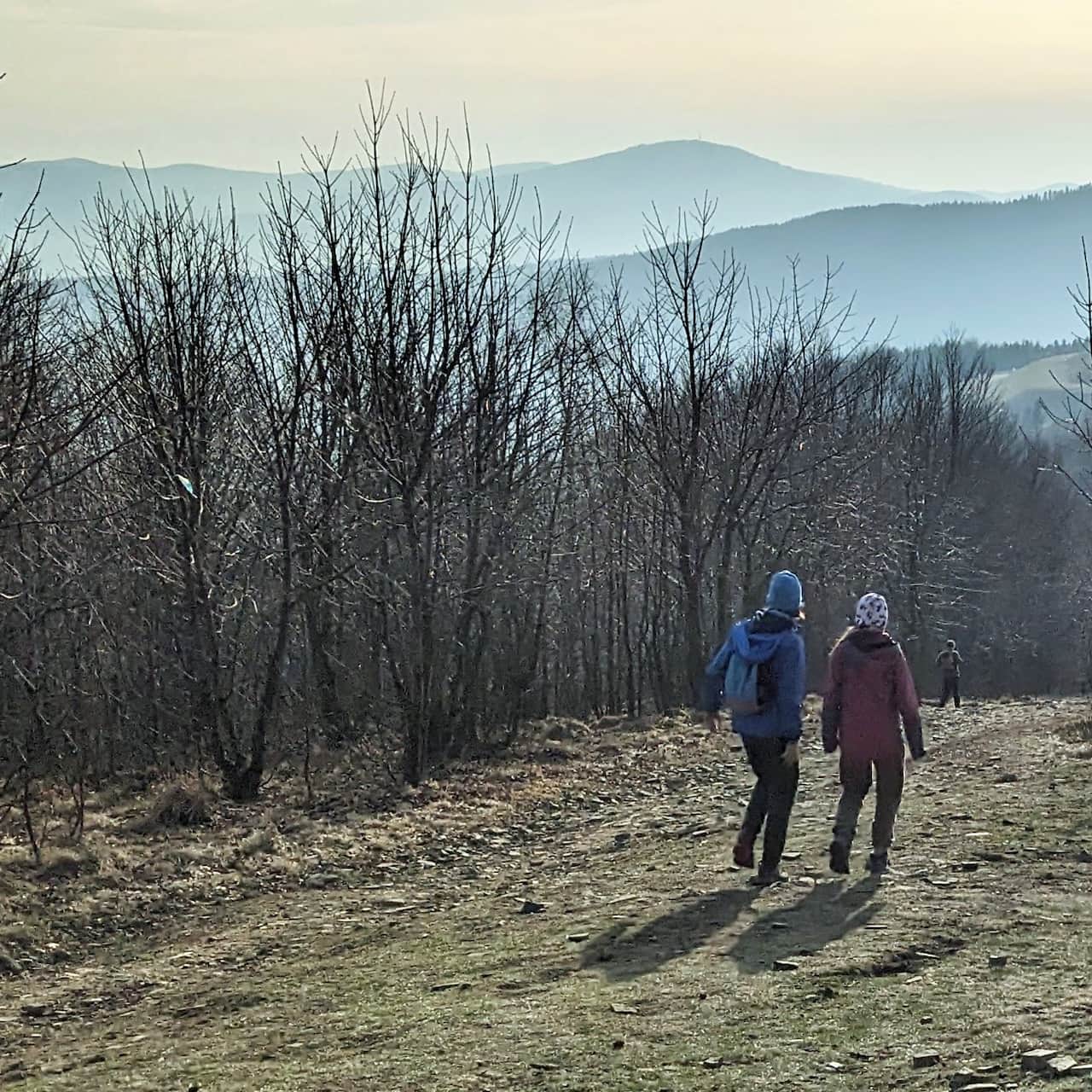
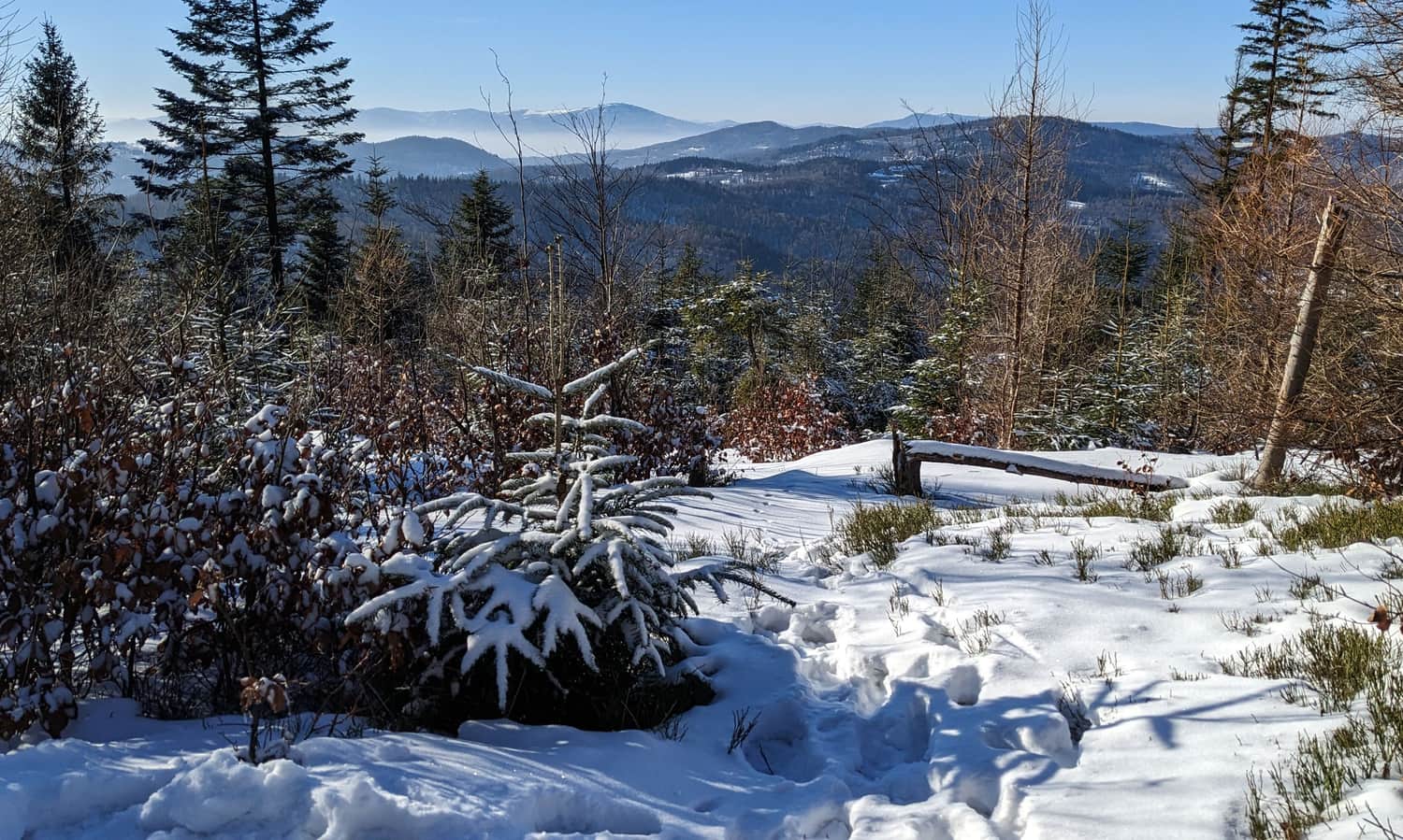
The peaks of Jawornica and Potrójna are connected by almost 3 km of easy and pleasant ridge path with minimal height differences.
The route is basically all forested, but there are "view windows":
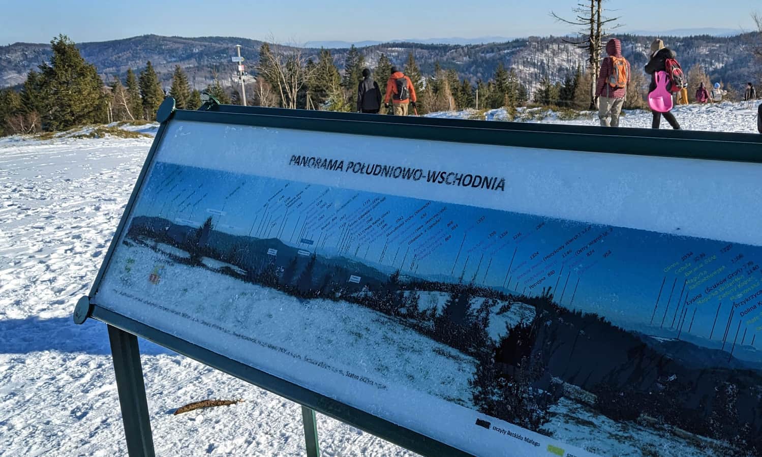
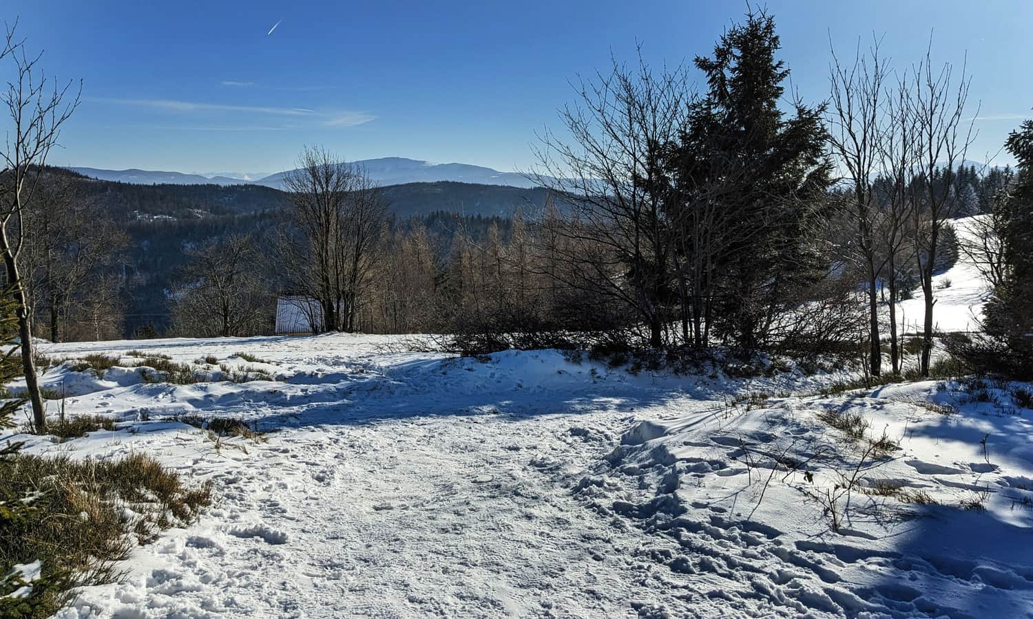
Potrójna 892 m above sea level - peak, views, shelter
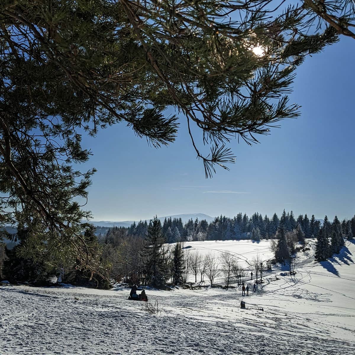
The most beautiful views are waiting for us at the top of Potrójna. Thanks to the extensive meadows, in good weather, we will see everything from here: the Tatras (including Gerlach), Babia Góra, Pilsko, Beskid Śląski with Barania Góra and Skrzyczne, Gorce, Beskid Makowski and Wyspowy.
In winter, it is a great place for sledding and snowball play!
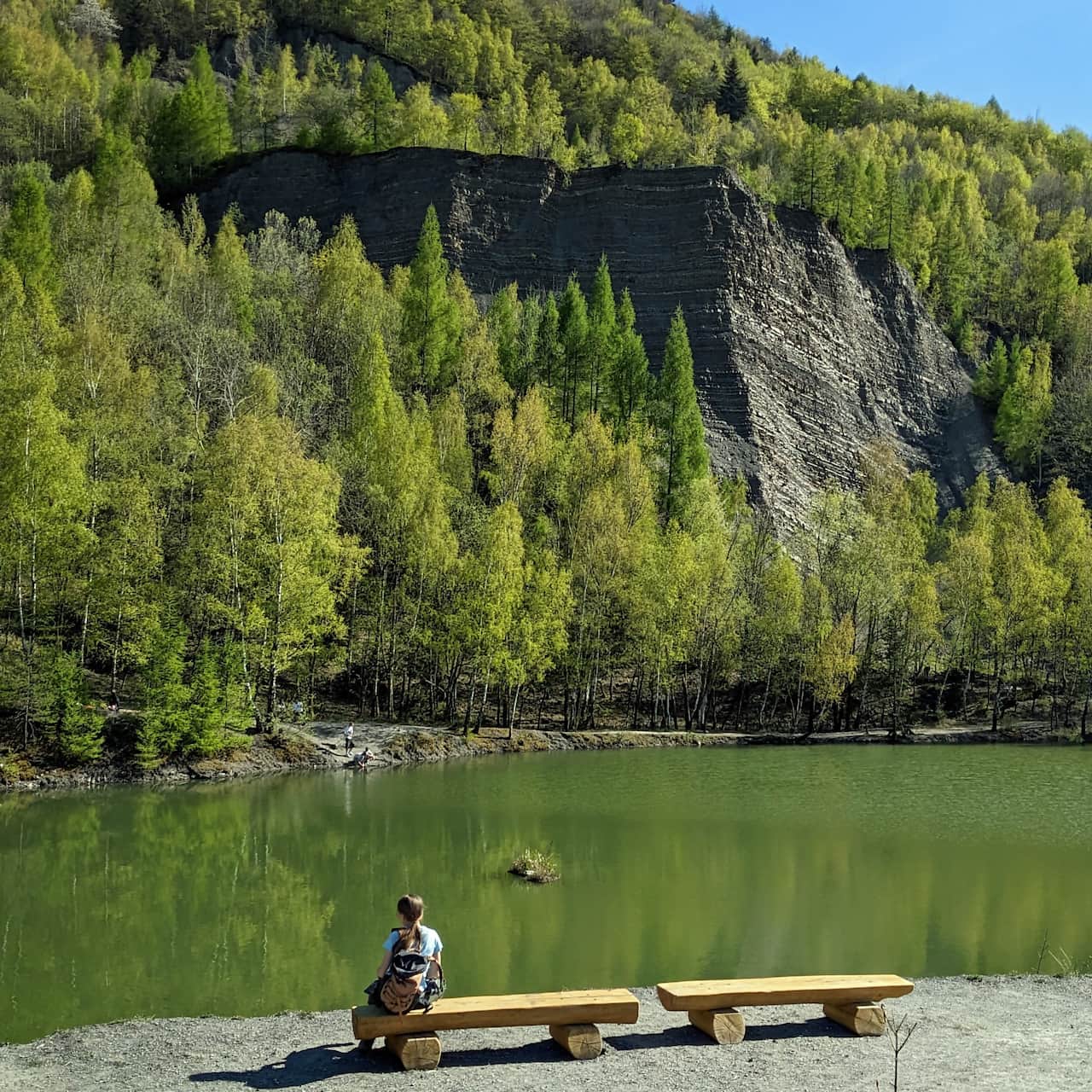
If you feel like snacking, resting, using the toilet, etc., a small private shelter "Chata na Potrójnej" awaits you on the estate just below the summit of Potrójna.
More about Potrójna, views, other trails to the summit, and attractions in the area are written here:
Potrójna - trails to the scenic peak in Beskid Mały
Potrójna (892 m above sea level) is a not very high, but an extremely scenic peak in the Beskid Mały. Here await vast meadows: perfect for picnics in the summer and sledding in the winter, the "Chatka na Potrójnej" shelter, and most importantly, a panorama in all four directions! ...

More in the Region Beskid Mały (Beskid Mały)