
Ćwilin and Michurowa Meadow - trails, views and trivia
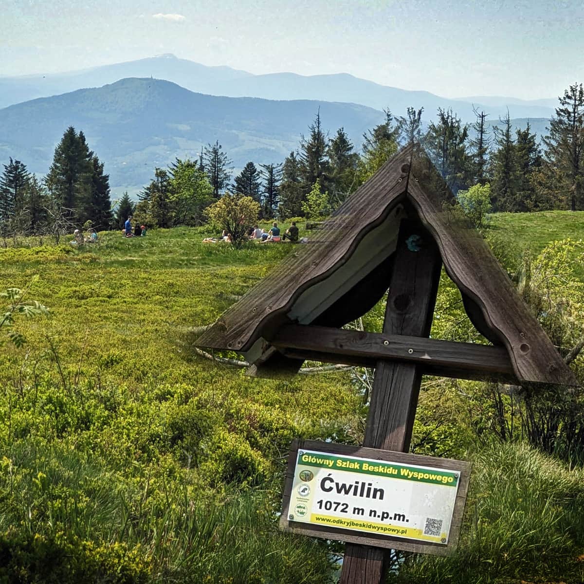
Ćwilin (1072 m above sea level) is the second highest peak in the Island Beskid mountain range. It is especially famous for its breathtaking views from the extensive and picturesque Michurowa Meadow.
Michurowa Meadow - views
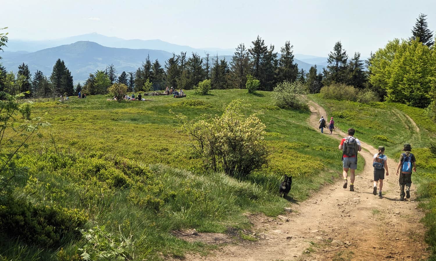
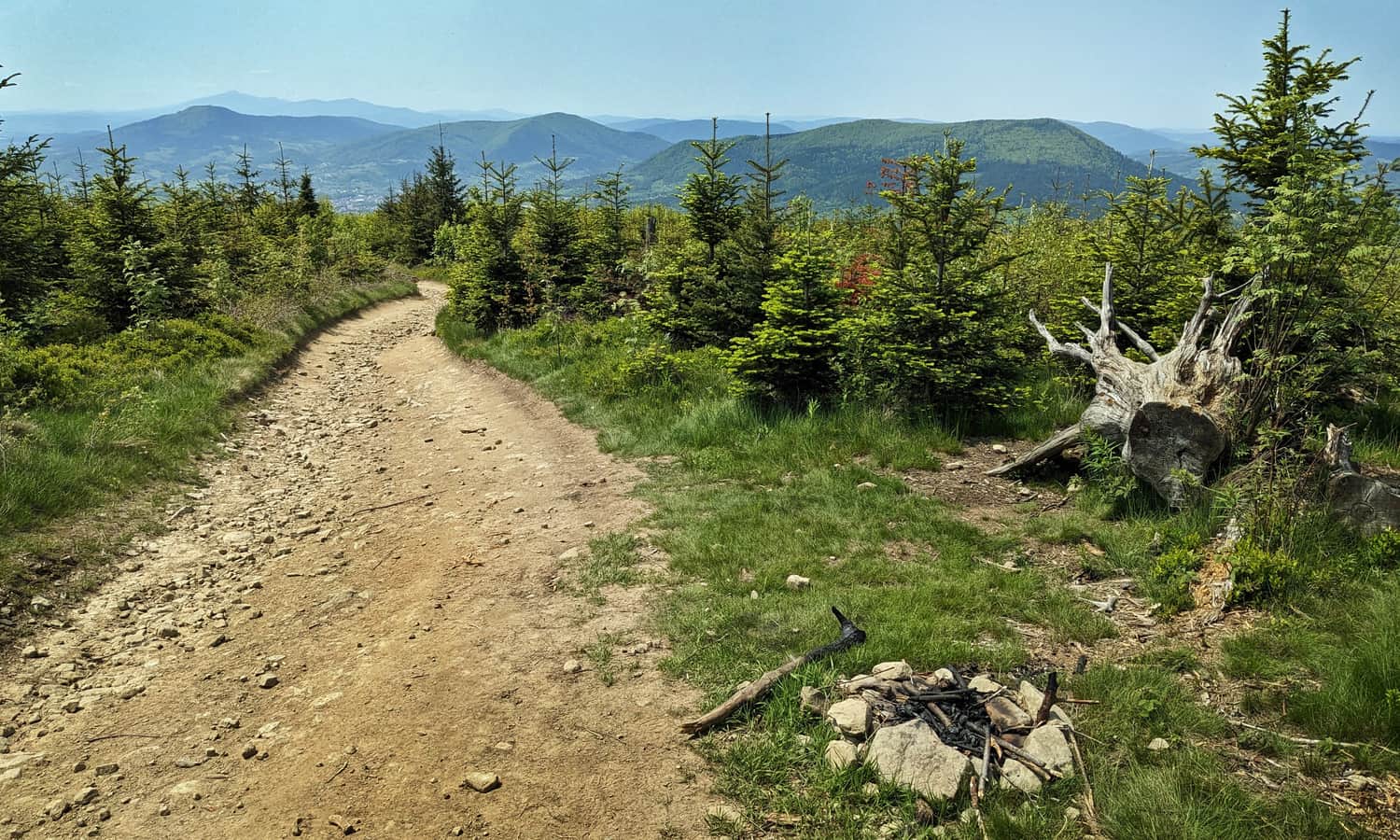
It's for this meadow that we climb Ćwilin! The extensive, once pastoral, meadow, unfortunately slowly overgrowing, pleases the eyes with wide panoramas: from the east, through the south, to the west.
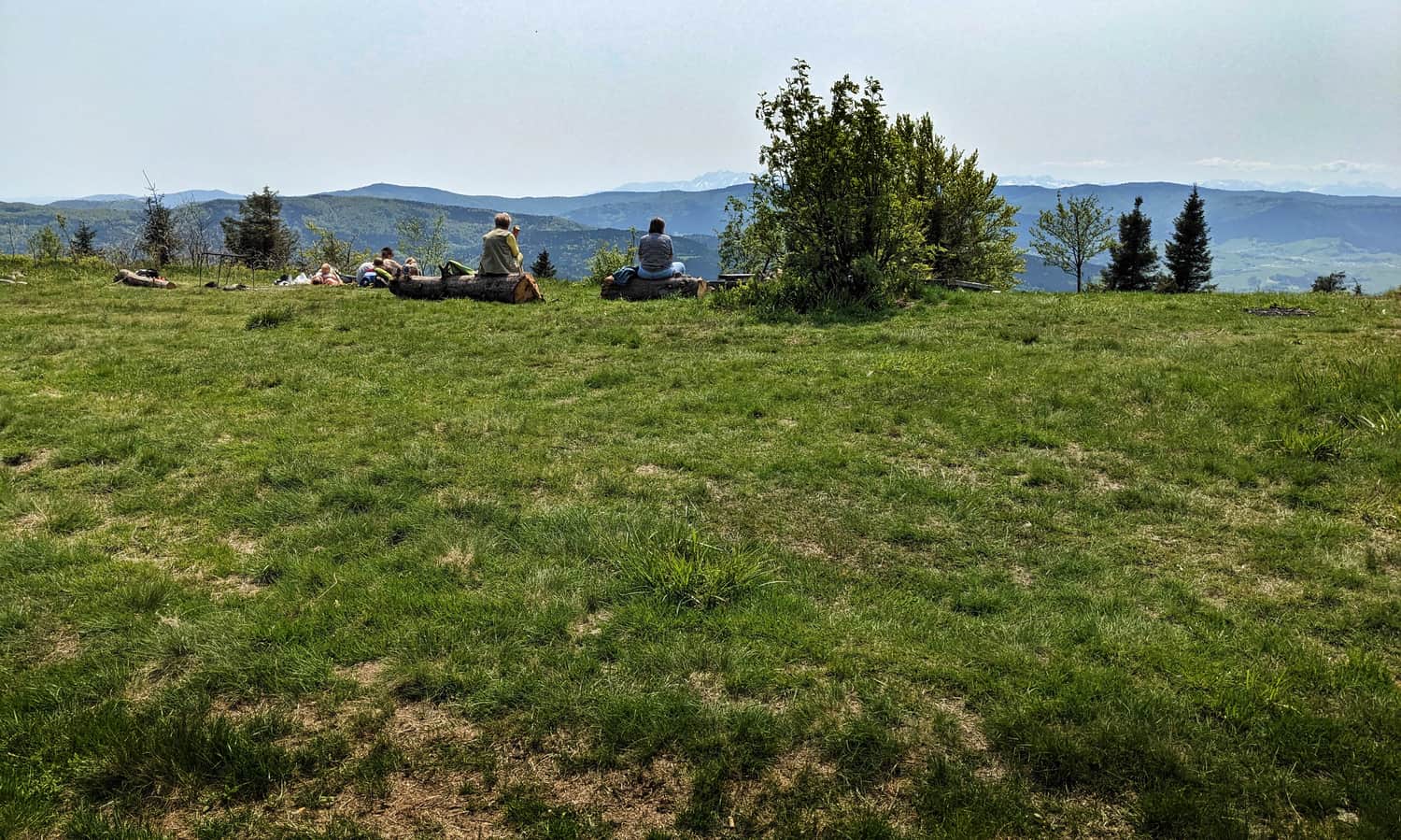
From here you can see the surrounding peaks of the Island Beskid (including Mogielica), but also the Sądecki Beskid, Pieniny, Gorce, Makowski Beskid, Żywiecki Beskid with the dominant Babia Góra, far to the west Silesian Beskid. The southern horizon is closed by the Tatra chain.
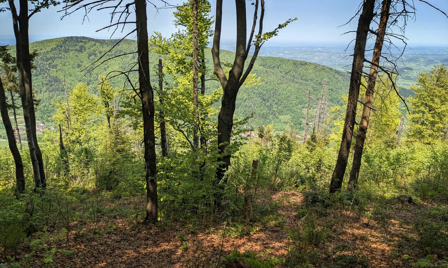
PS. If you are curious about the view from Ćwilin to the north, descend a few meters through the beech forest: you will see the twin neighbor Śnieżnica:
All trails to Ćwilin
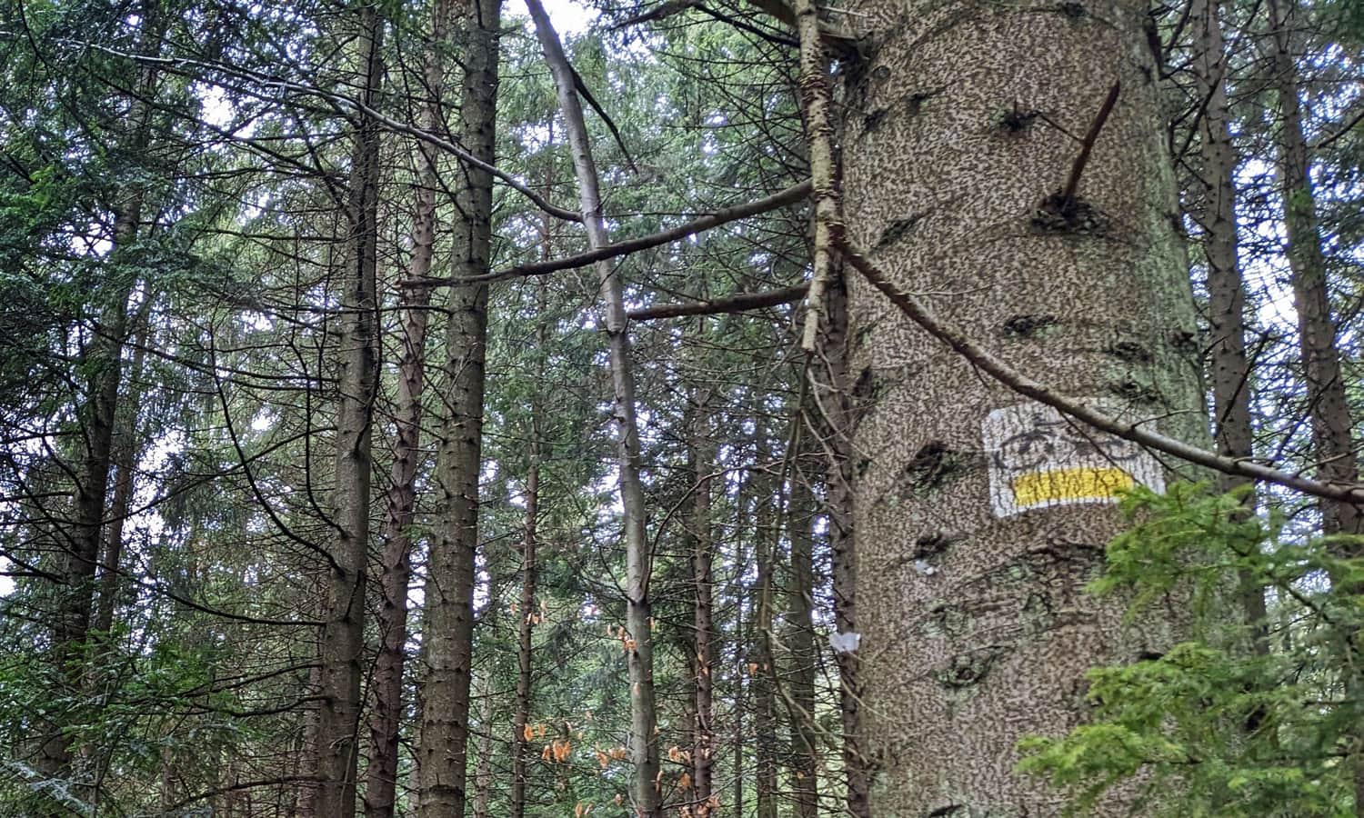
The network of hiking trails on Ćwilin is quite poor, but that doesn't mean we don't have anything to choose from!
The shortest and fastest trail to Ćwilin
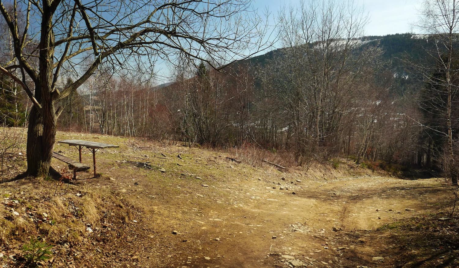
The shortest route to the top of Ćwilin leads from the Gruszowiec Pass (blue signs). We only have to cover 2 km, on which we overcome a height difference of about 400 m. So: it will be short, fast... and very steep.
The most popular trail to Ćwilin
The blue trail from Jurków is longer than the one from Gruszowiec, we also have to overcome a slightly greater height difference, but the road is longer, and therefore much gentler.
Medium
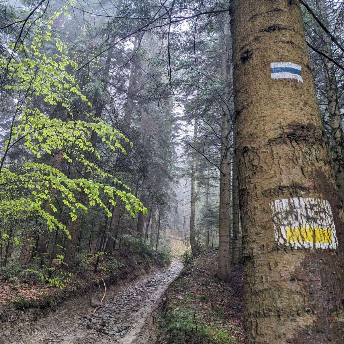
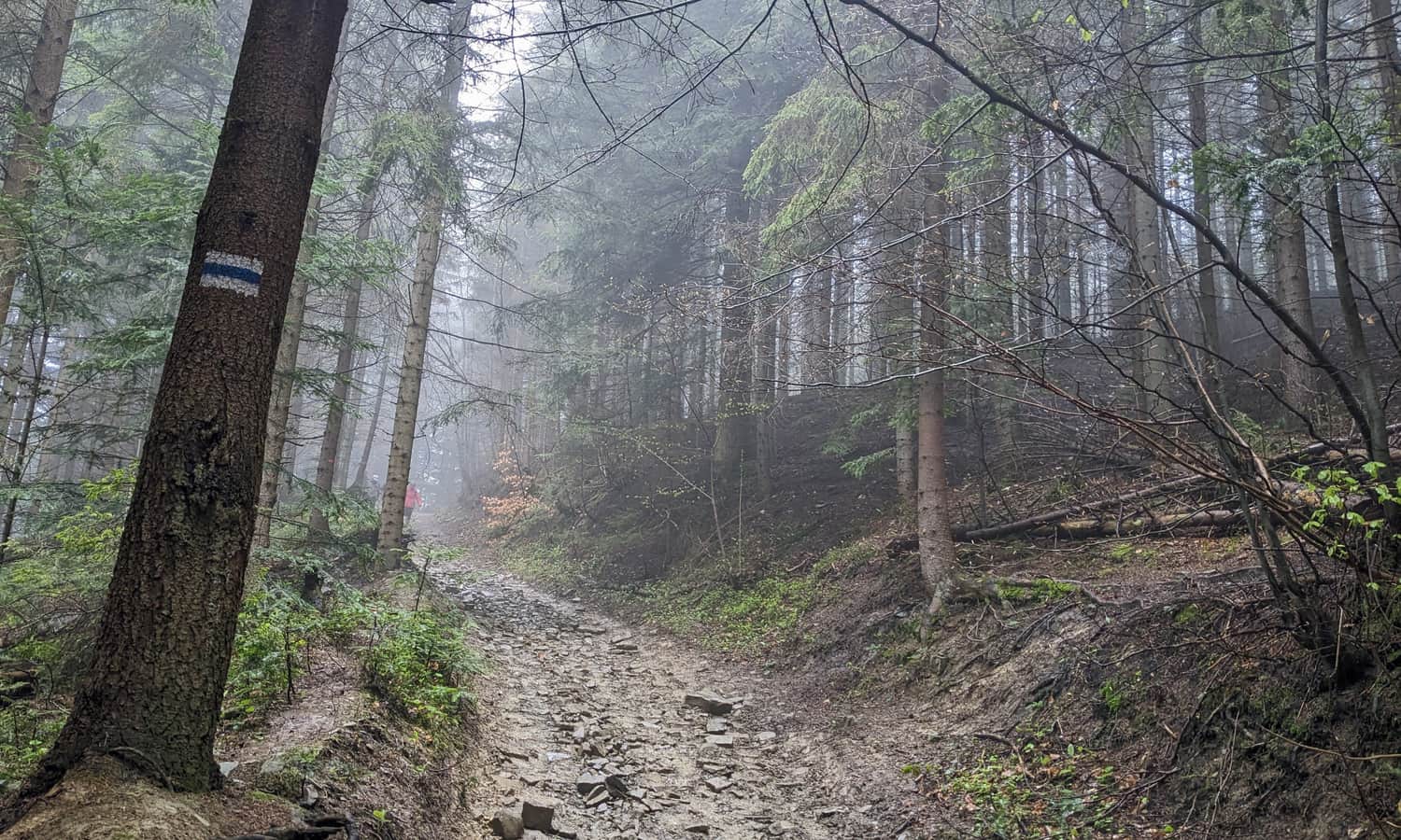
Ćwilin from Jurków - blue trail

The most scenic trail to Ćwilin
If you have more time and feel like a longer hike, we highly recommend you to set off to Ćwilin from Mszana Dolna. Along the way, you will pass an innumerable number of scenic meadows - a real rarity in the Island Beskid!
Medium
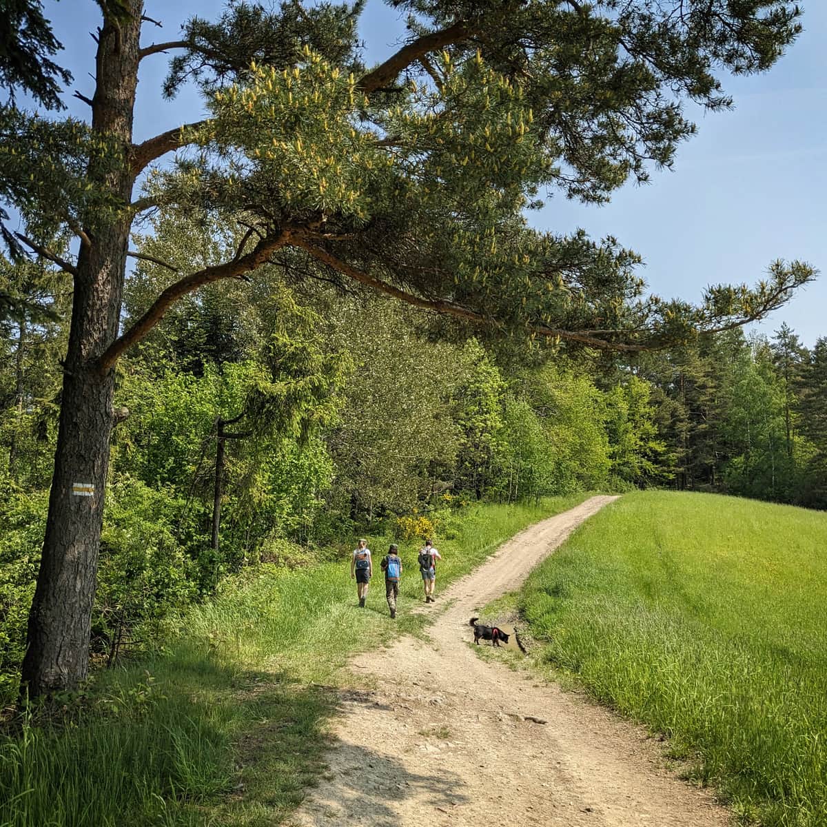
Ćwilin via Czarny Dział from Mszana Dolna - the yellow trail

Alternative, easiest trail to Ćwilin
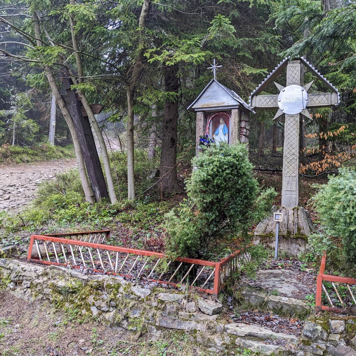
This is a route without a marked hiking trail (but we are guided by the signs of the yellow bike trail). Along the way, there are several chapels and a waterfall. We have to overcome a height difference similar to that from Gruszowiec, but spread over about 3.5 km. Apart from the need to keep track of the route due to poor markings, this is the easiest (gentlest) route to the top of Ćwilin.
Medium
Wilczyce - Ćwilin. Rosary Road and bike trail

Ćwilin and Michurowa Meadow - trivia
Numerous stories and quite true stories are associated with Ćwilin and Michurowa Meadow! It's worth getting to know them and remembering them during a picnic on the top.
- The name of the peak comes from the German word for "twin" (zwilling). Perhaps it was given by German settlers from Tymbark. And who is Ćwilin's twin? Apparently the neighbor: Śnieżnica!
- According to tradition, the name of the Island Beskid range was created here. Apparently at the beginning of the 20th century, the regionalist, Kazimierz Sosnowski, after spending the night on the top of Ćwilin, saw a beautiful view: a sea of fog covering the valleys and single green hills sticking out of it, like islands.
- Michurowa Meadow (the name comes from the surname of one of the landowners) was ideal for sheep grazing: well sunlit from the south, with a spring (near the southeast border of the forest) and it was used for this purpose until the mid-20th century.
- On the northwest slopes of Ćwilin, a few caves were discovered and given... fairy-tale names! Among others Cave of Flying Stones, Shelter of Two Snails, Spider Shelter, Shelter in Bushes and Mermaid's Grotto. And how would you name a cave discovered by yourself?
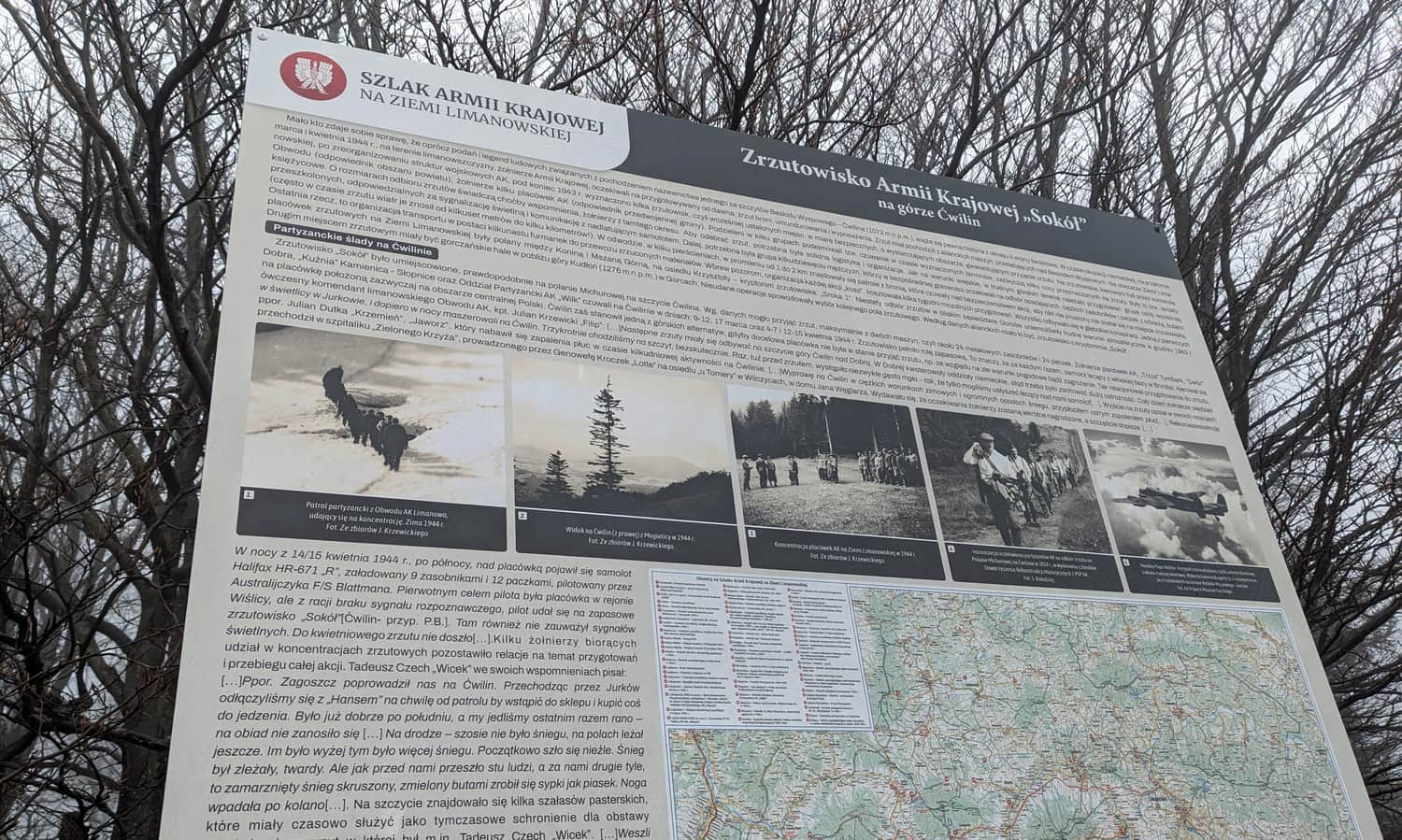
- On Michurowa Meadow during World War II there was a Home Army drop zone "Sokół".

Publish Date:
Last Updated: