Ćwilin from Jurków - blue trail
Nearby: Limanowabeach_access Route in the shade
directions_car Access by car
The blue trail from Jurków to Ćwilin is one of the most popular routes to the second highest peak of the Beskid Wyspowy, known for its beautiful scenic Michurowa Glade.
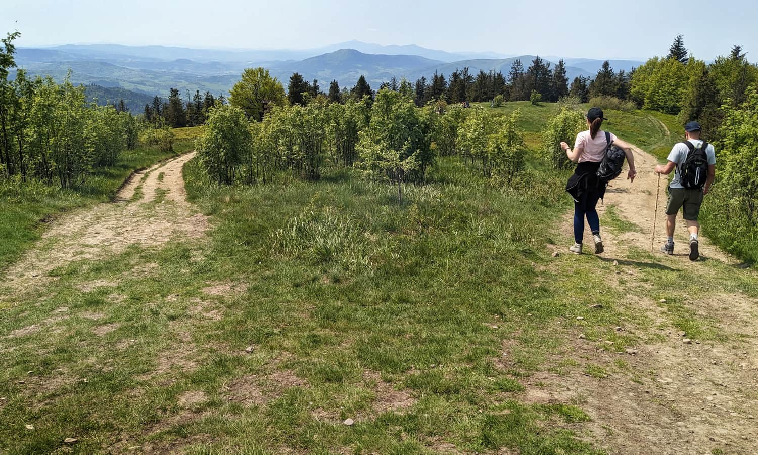
Start of the blue trail in Jurków
The blue trail passes through the center of the town: one way (southeast) will lead us to Mogielica, the other (west) - to Ćwilin. In Jurków, you can easily find a parking (for example, near the church or the cemetery).
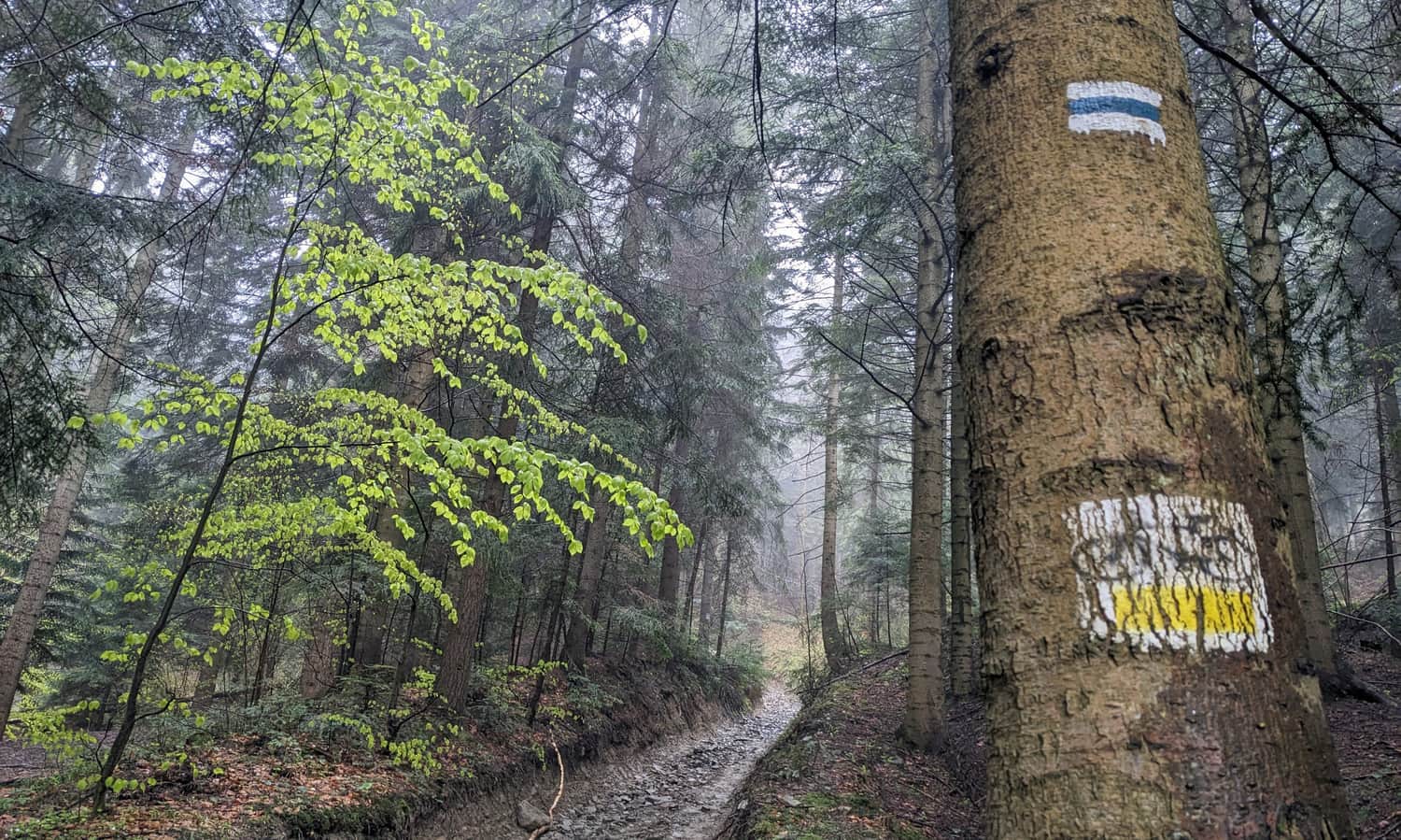
Jurków: blue trail to Ćwilin
After passing through the fields surrounding the town (pay attention to the view of the Mogielica massif, which we leave "behind") we enter the forest.
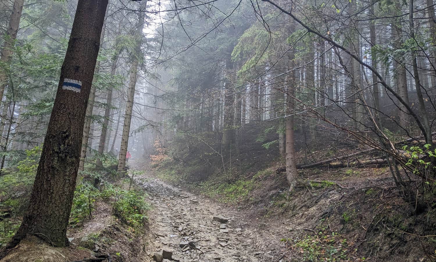
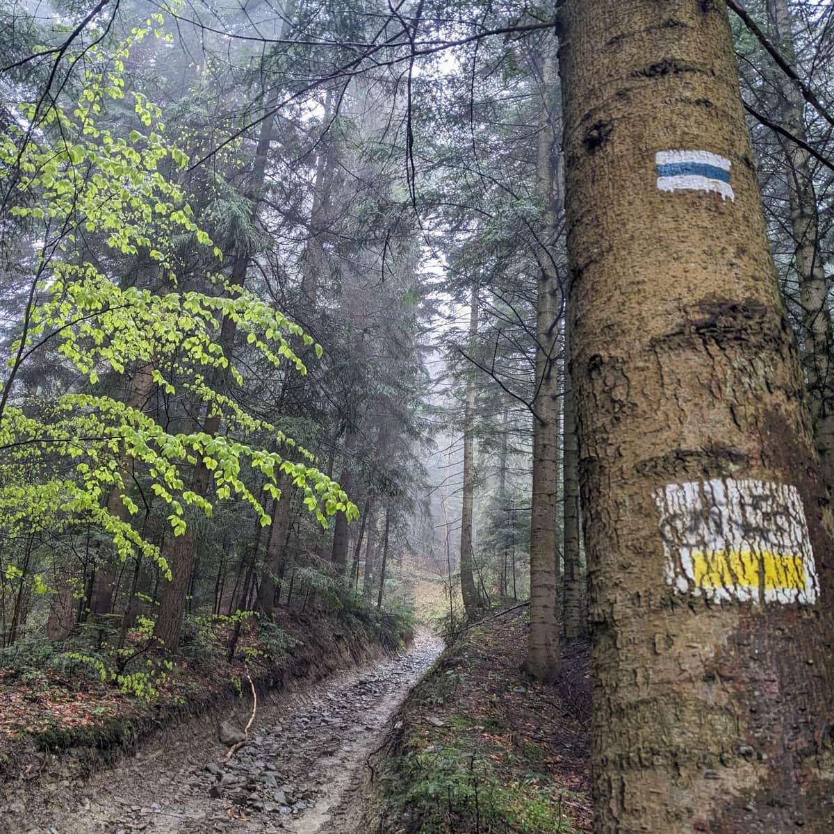
For most of the route, a wide forest road leads us up not very steep slopes.
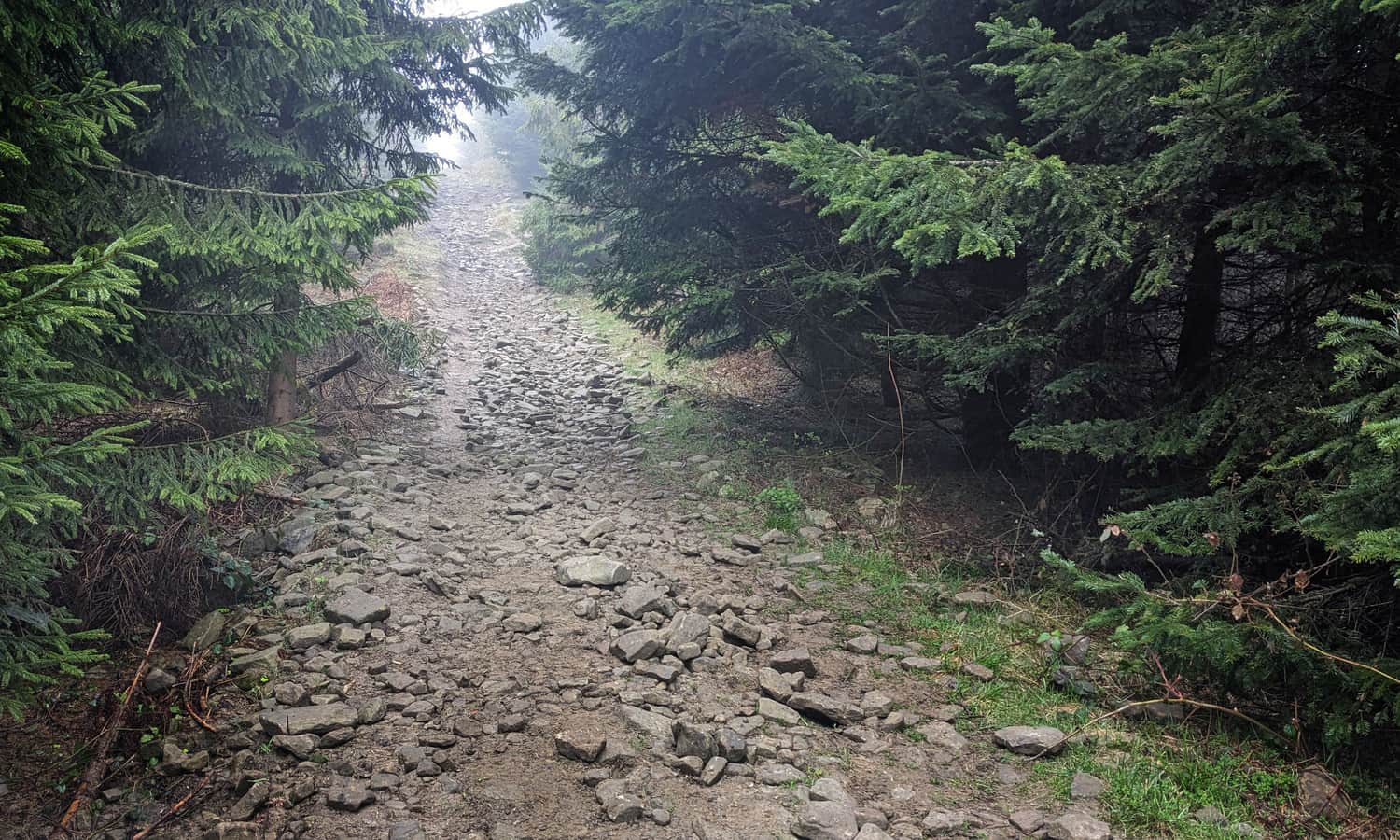
In total, we have to overcome over 500 m of altitude difference. Therefore, in some places, it will be a bit more "uphill". Here is one of the most difficult sections:
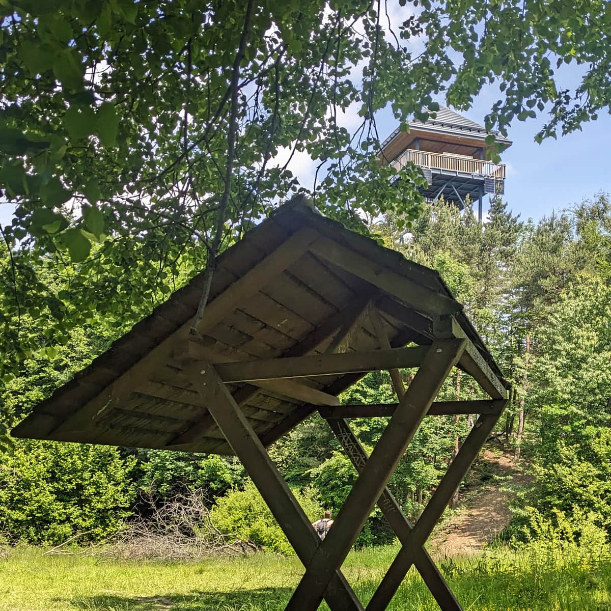
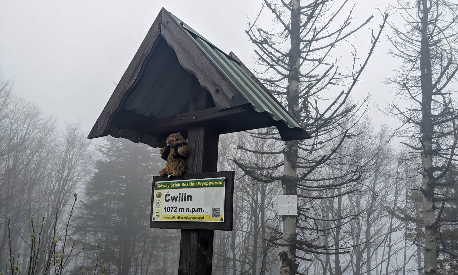
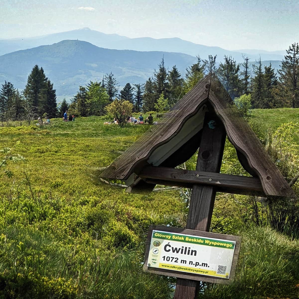
Ćwilin - peak and Michurowa Glade
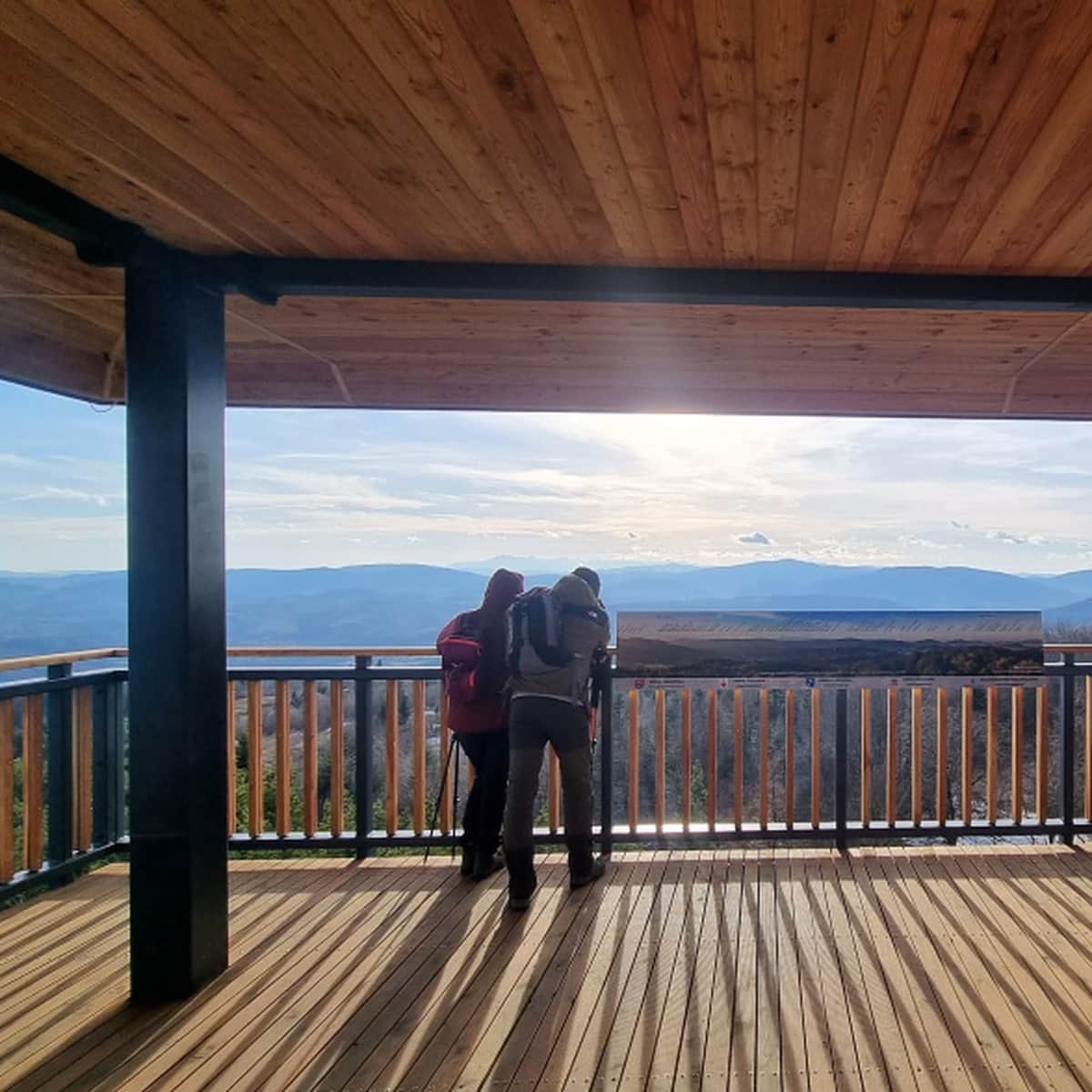
After about 2 hours of hiking, we should reach the peak of Ćwilin.
On a clear day, wonderful views await us here: panorama of the Tatra Mountains, Beskid Wyspowy, Sądecki, Pieniny, Gorce, all the way to Babia Góra in the west.
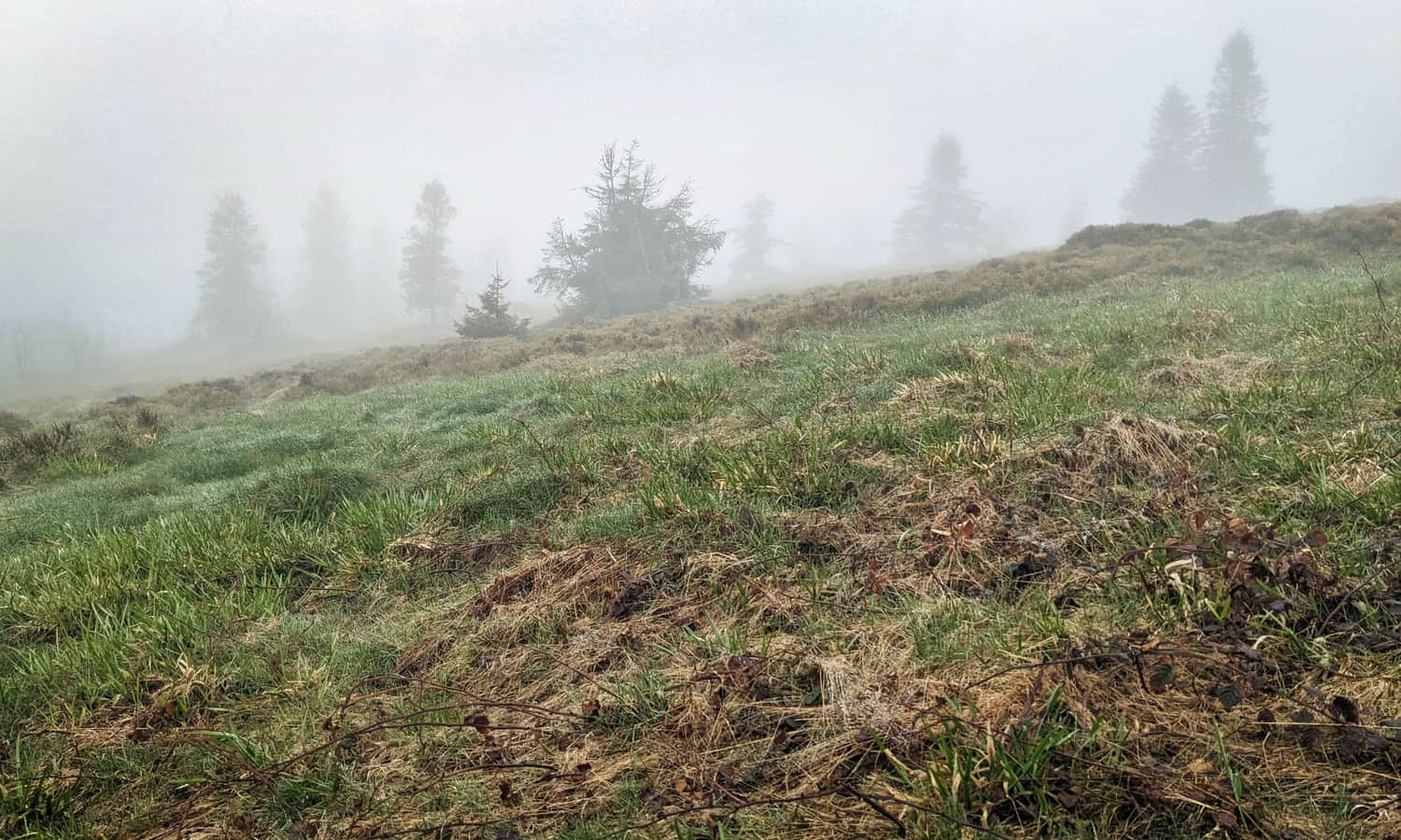
However, sometimes the glade looks like this, also picturesque, but not exactly as we expected:
Other trails to Ćwilin
You can read more about Ćwilin in this article:
Ćwilin and Michurowa Meadow - trails, views and trivia
Ćwilin (1072 m above sea level) is the second highest peak in the Island Beskid. It is especially famous for its breathtaking views from the extensive and picturesque Michurowa Meadow. ...
You will also see a panorama from the peak on a beautiful day: