Wilczyce - Ćwilin. Rosary Road and bike trail
Nearby: Mszana Dolnabeach_access Route in the shade
directions_car Access by car
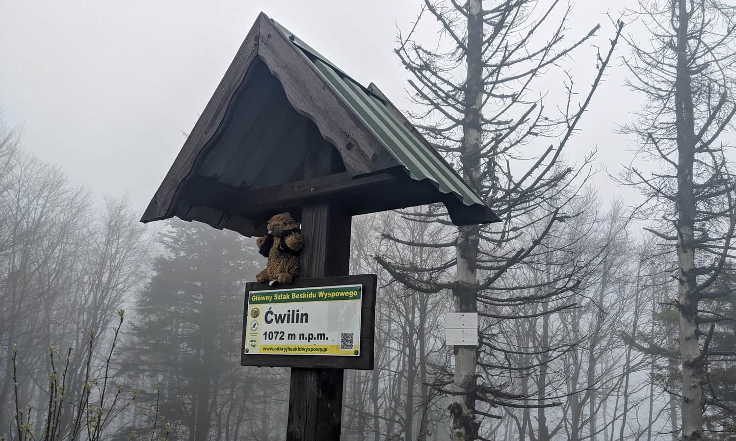
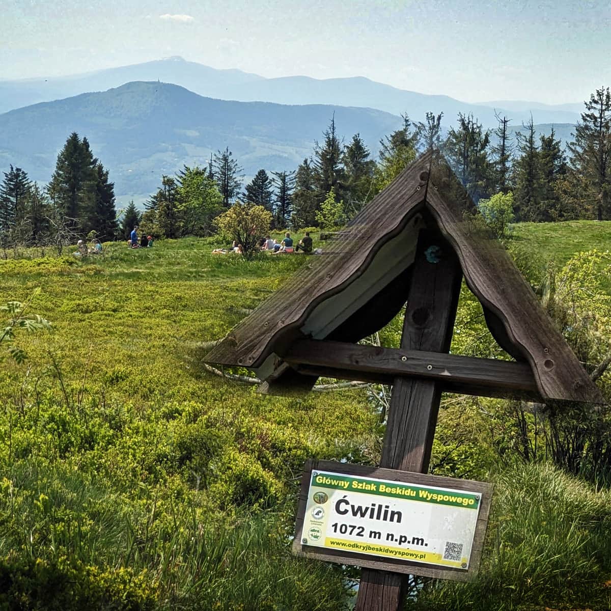
Ćwilin is the second highest peak of the Beskid Wyspowy mountain range (1072 m above sea level), famous for the beautiful panorama from the Michurowa Glade. The route to Ćwilin from Wilczyce is a less frequented path, an alternative to the marked tourist trails from Jurków and Gruszowiec Pass.
Bike trail and rosary paths from Wilczyce to Ćwilin
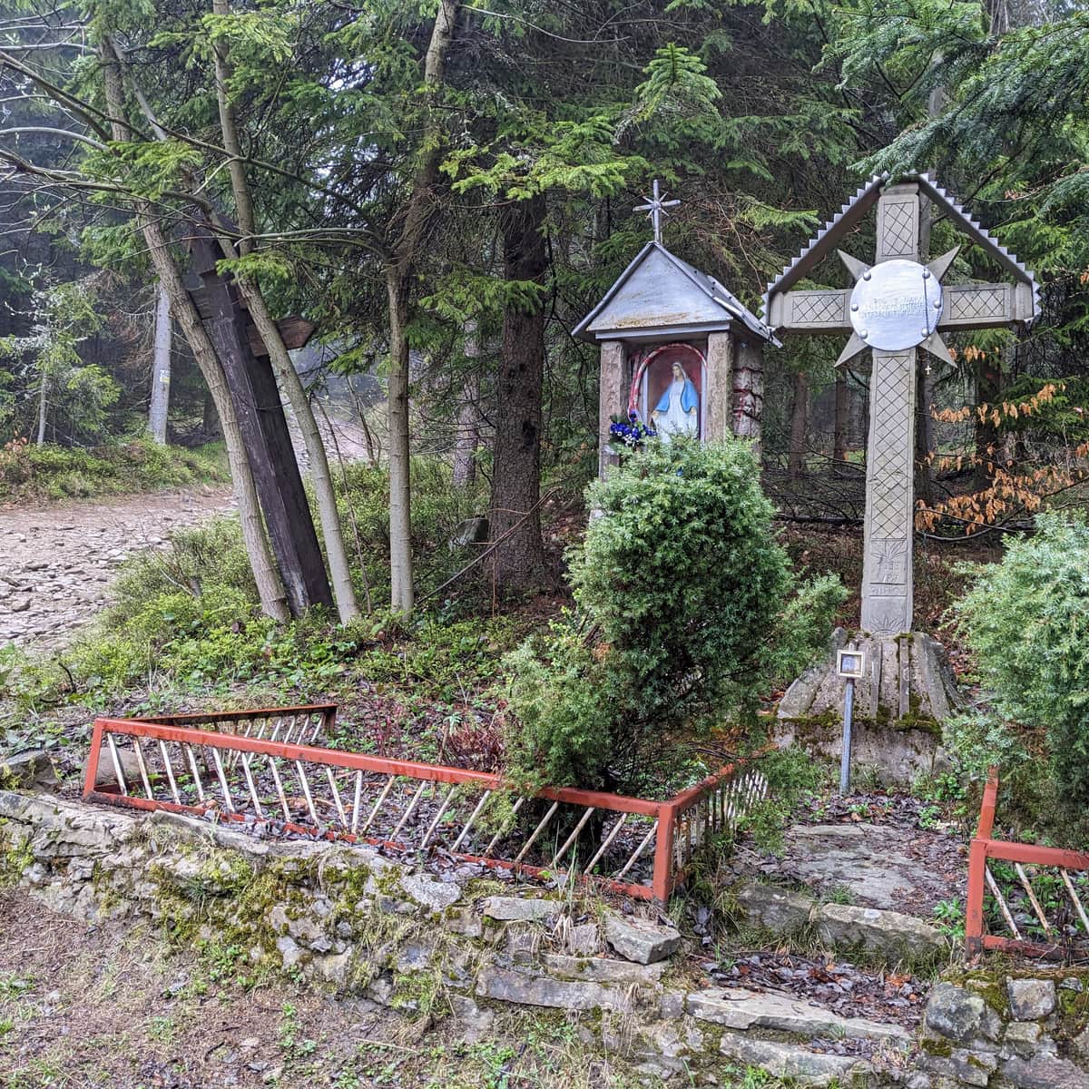
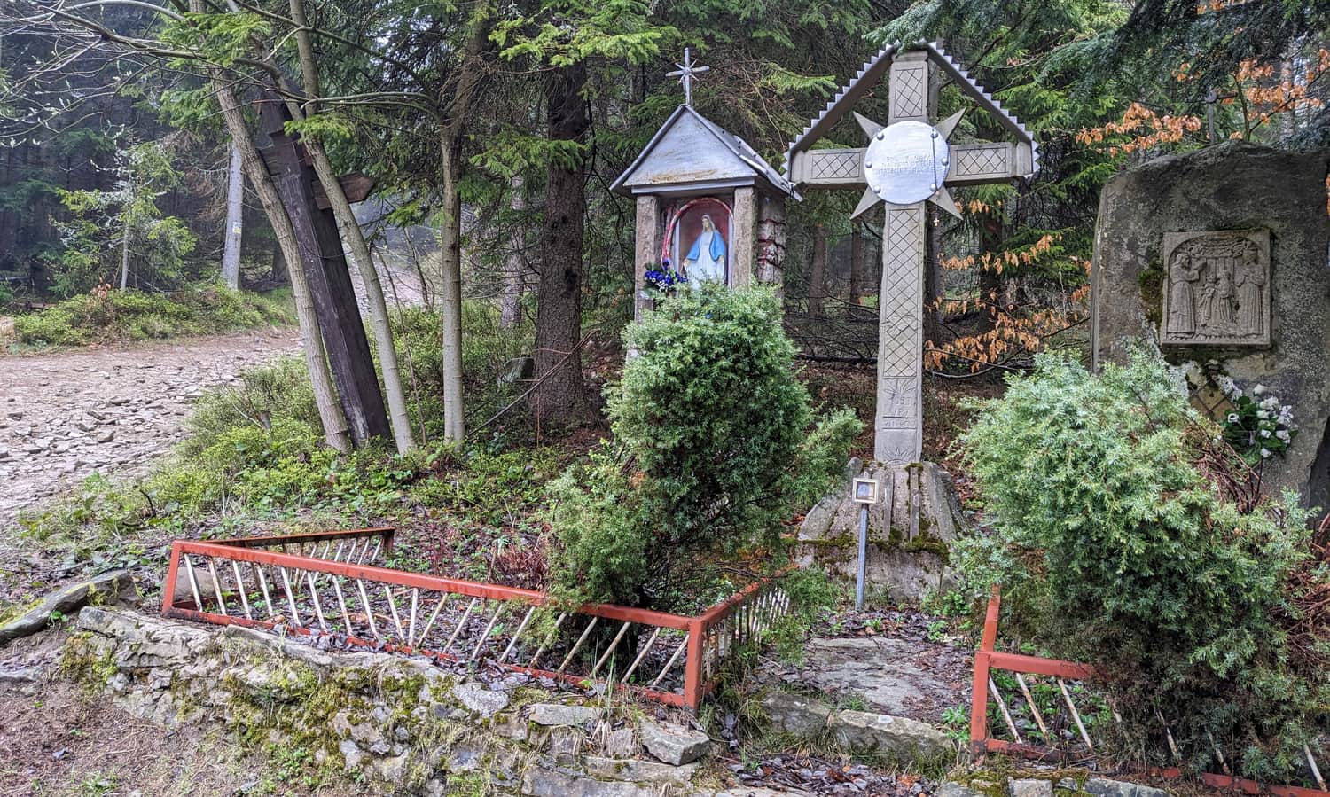
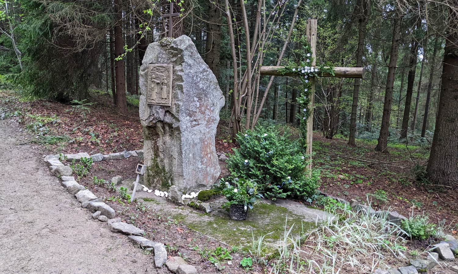
Although the ascent to Ćwilin from Wilczyce is not 'standardly' marked by PTTK, the yellow signs of the bike trail and the chapels passed along the way will help us with orientation.
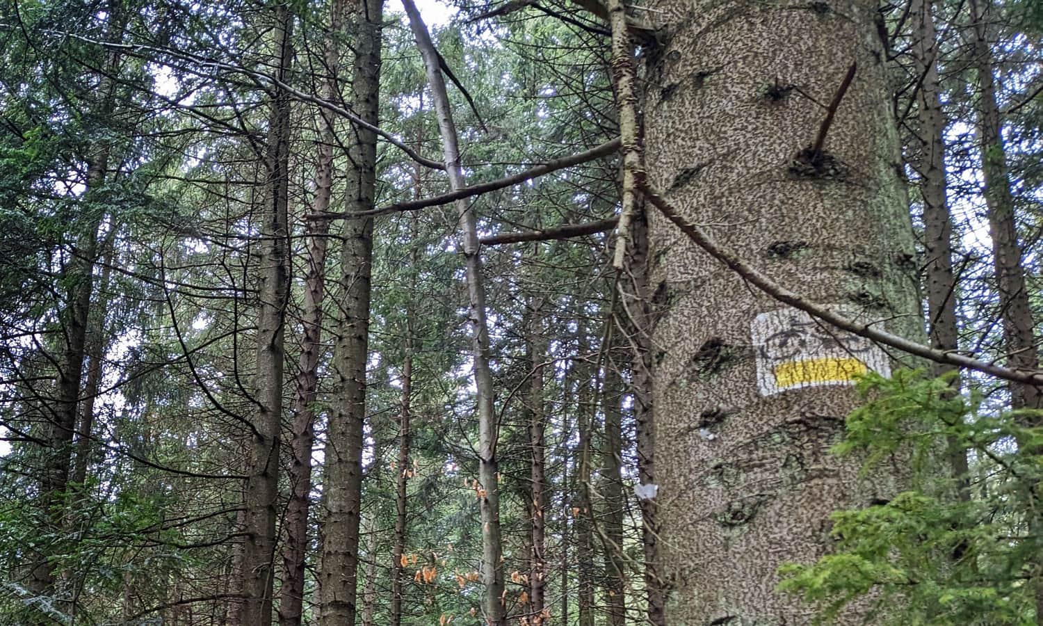
Due to the dense network of forest roads and paths, it's worth having a detailed map, compass and GPS location enabled, as it's not always clear at intersections which way to go. Also, take a look at the route on the map in the article header!
Parking Rosary Road Wilczyce
The start of the route to Ćwilin in Wilczyce is located at the PKS stop. There is a small wild bay for a few cars here (marked as 'parking Rosary Road' on Google maps). There's a larger parking lot at the primary school.
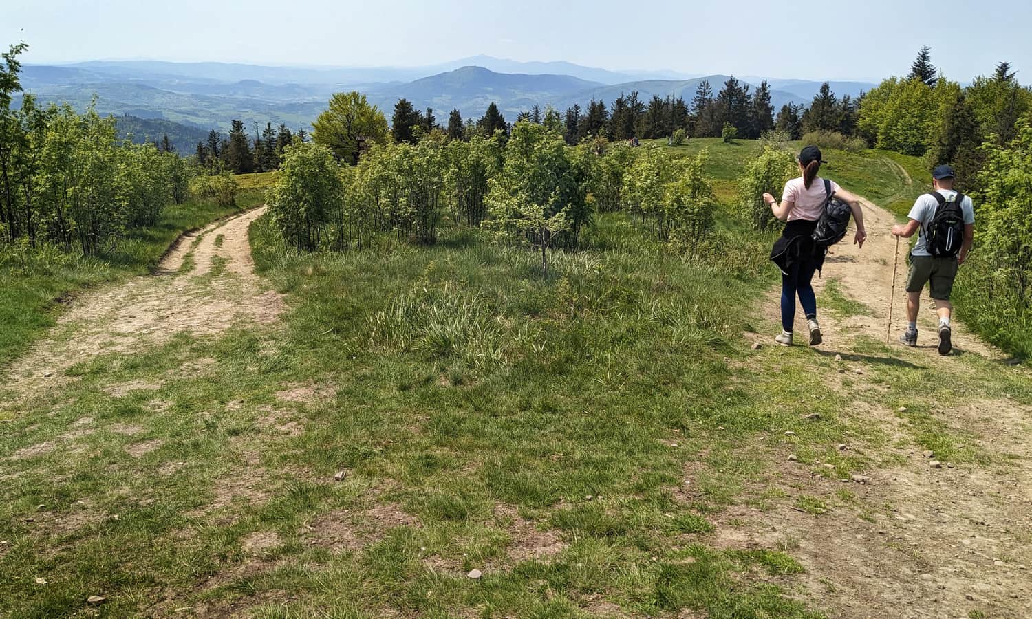
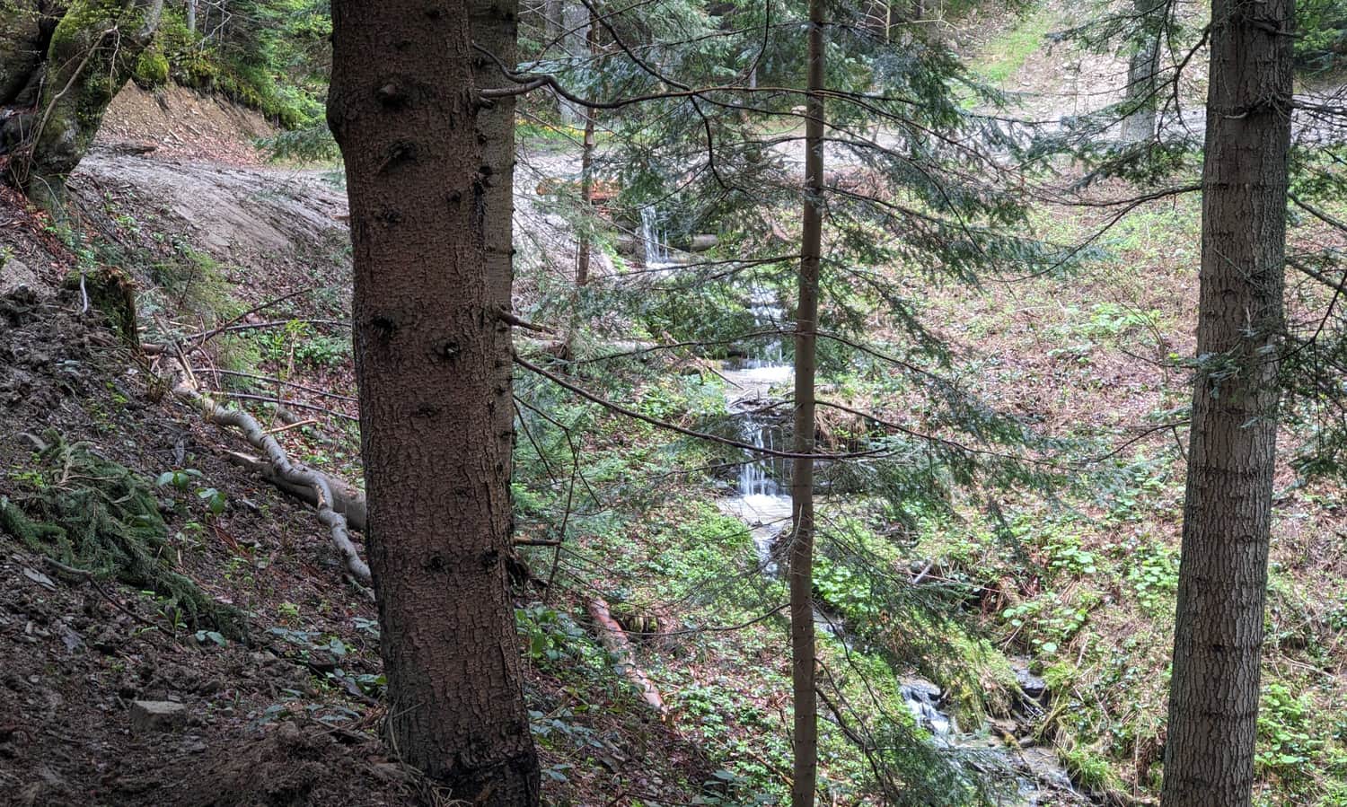
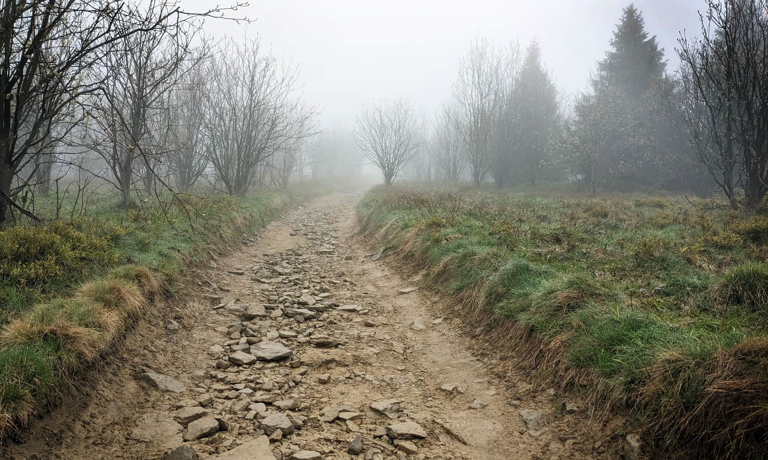
The entire route runs through the forest, in the shade. Although we have to overcome more than 400 m of altitude difference, the road rises quite calmly, with wide bends, without particularly steep sections.
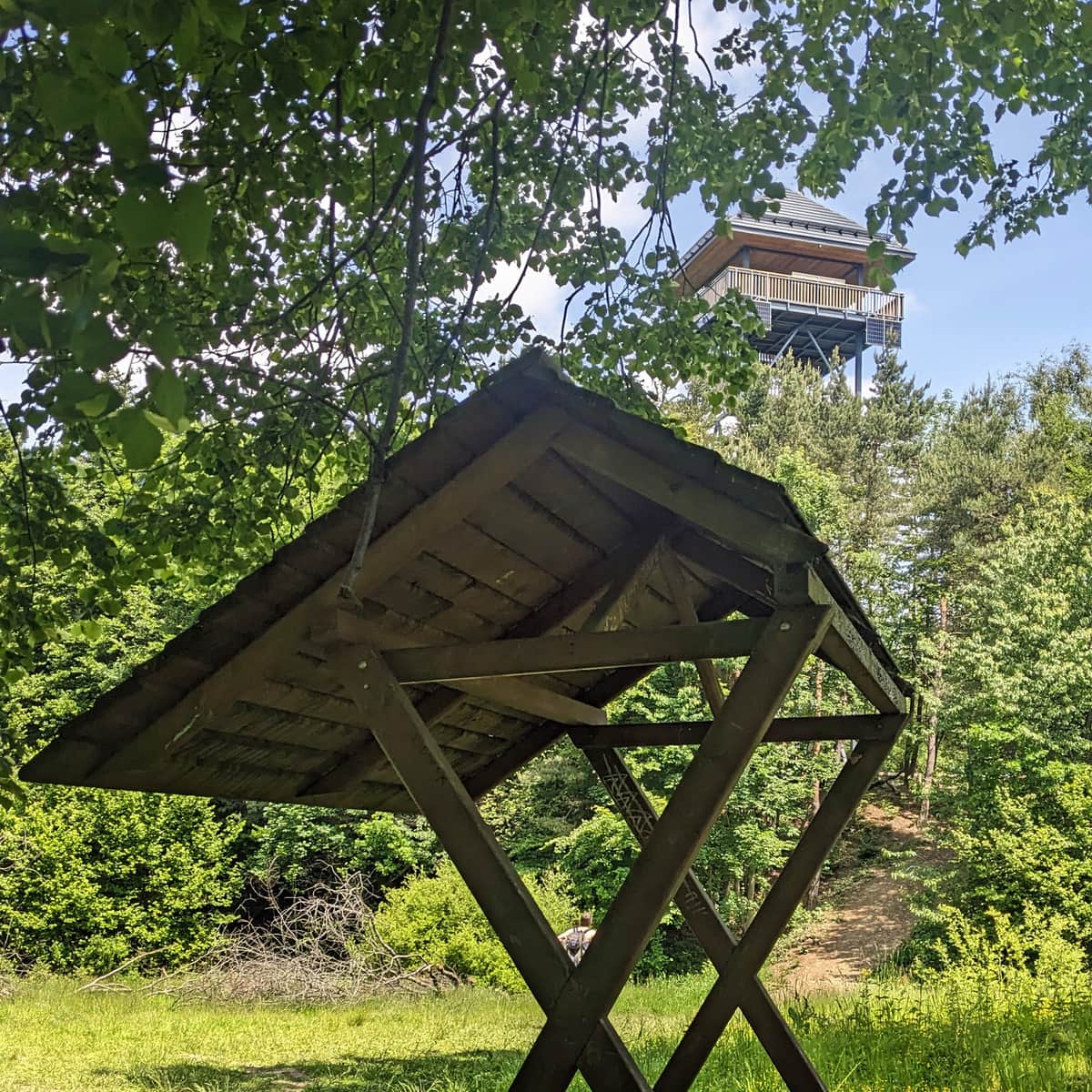
Attractions include chapels appearing along the way and a cascading waterfall on the Rosłaniec stream.
After about an hour on a wide road, we leave the forest and enter a large, unfortunately overgrown, glade. In 10-15 min. we'll be at the top!
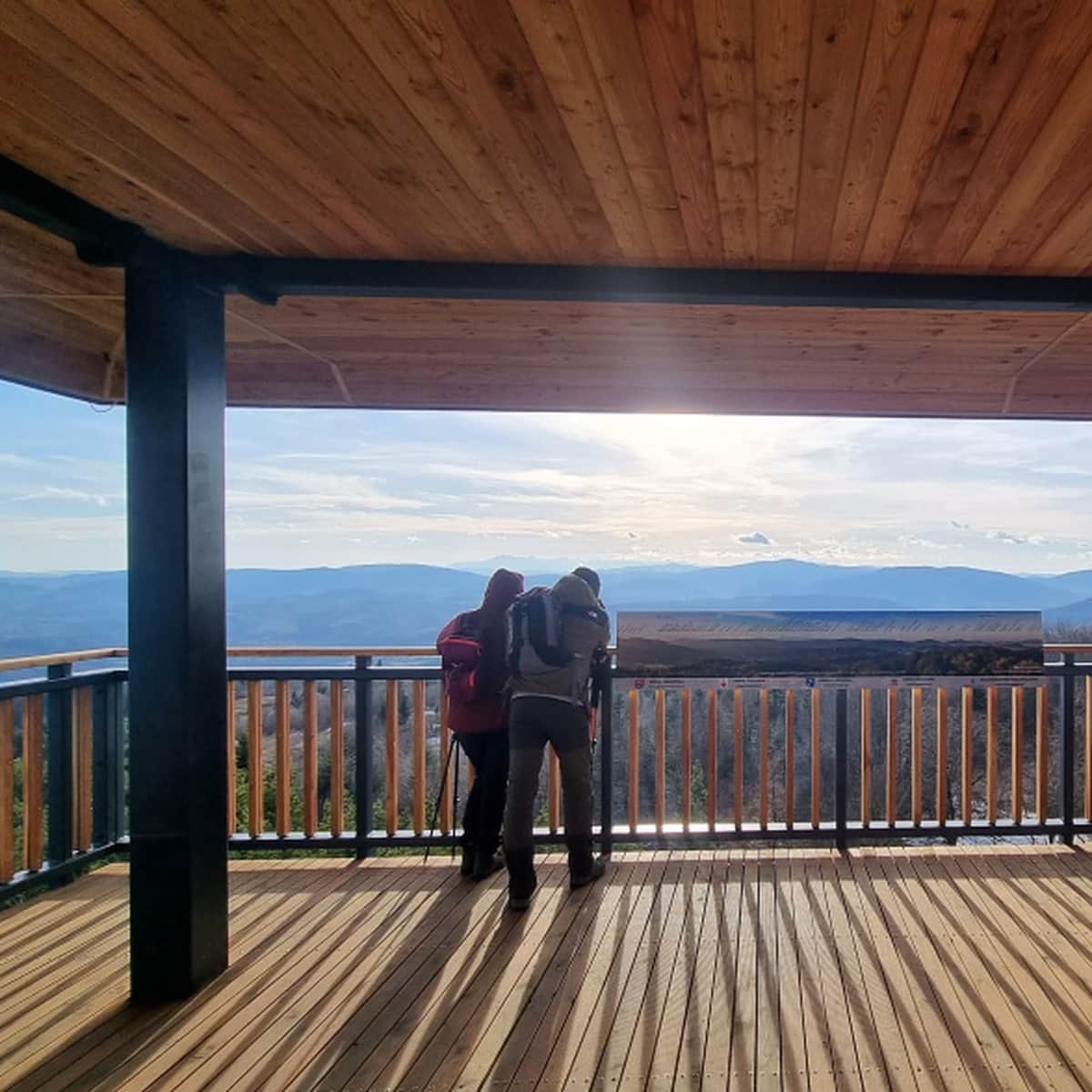
Ćwilin and Michurowa Glade
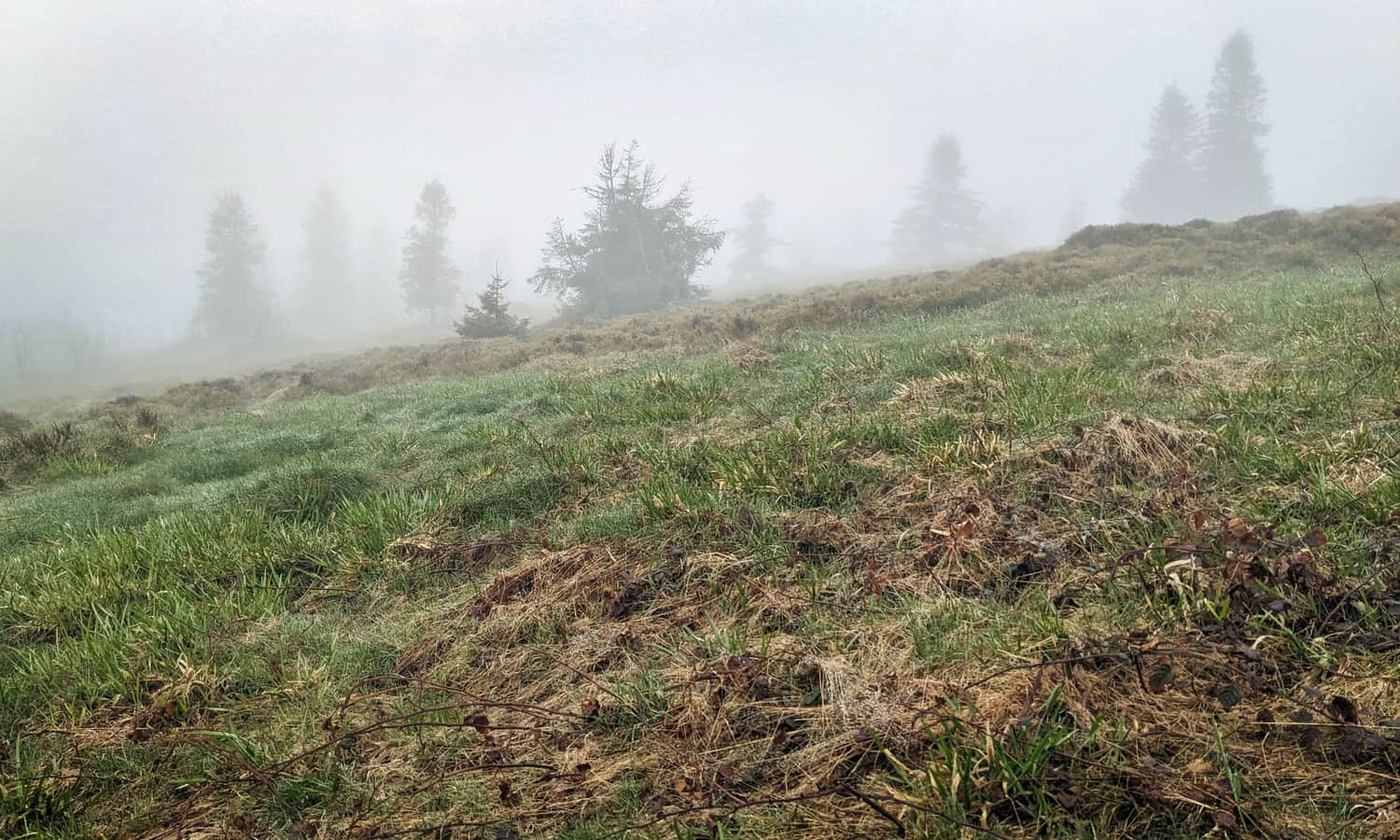
Michurowa Glade on Ćwilin is one of the most scenic places in the area!
On a clear day, you can see the surrounding peaks of the Beskid Wyspowy (including Mogielica), as well as the Beskid Sądecki, Pieniny, Gorce, Beskid Makowski, Beskid Żywiecki with the dominating Babia Góra, and far to the west, the Beskid Śląski. The southern horizon is closed by the Tatra Mountains chain.
Unfortunately, sometimes the glade can also be foggy...
Other trails to Ćwilin
You can read more about Ćwilin in this article:
Ćwilin and Michurowa Meadow - trails, views and trivia
Ćwilin (1072 m above sea level) is the second highest peak in the Island Beskid. It is especially famous for its breathtaking views from the extensive and picturesque Michurowa Meadow. ...
You can also see the panorama from the top on a beautiful day: